Overview
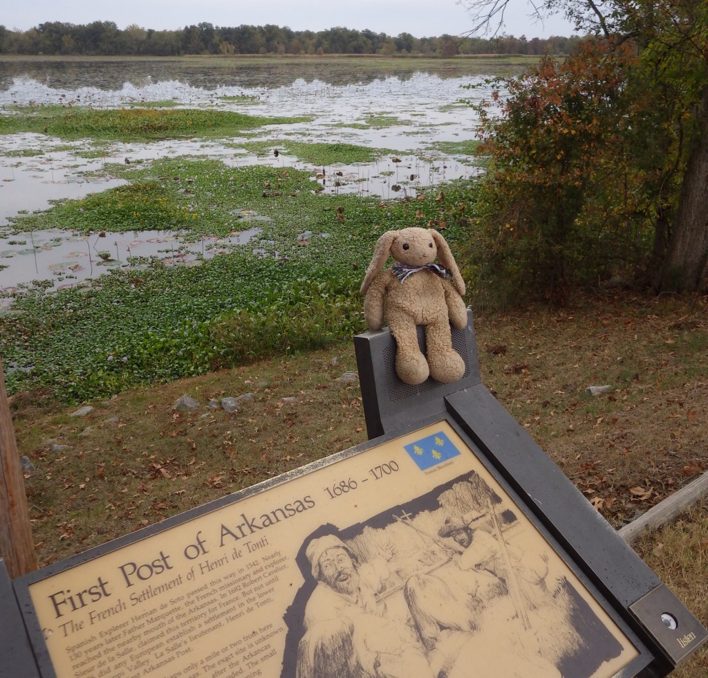
Arkansas Post National Memorial is in the southeastern section of its namesake state near the confluence of the Arkansas and Mississippi Rivers. The French first settled this area in 1686 in order to trade with a large village of Quapaw Indians. From 1763-1800 the fort was controlled by the Spanish, who were attacked by the British here in 1783 in what became known as the Colbert Incident, considered one of the final battles in the American Revolution.
Highlights
Museum, film, ruins, cannons, wildlife, fishing
Must-Do Activity
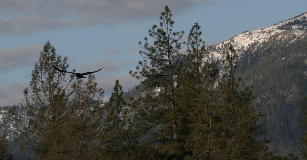
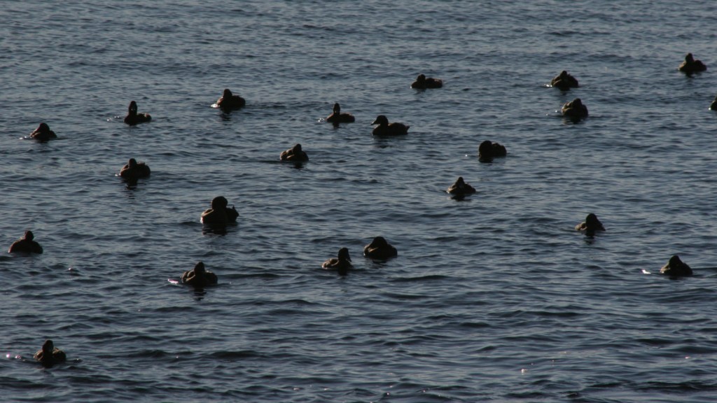
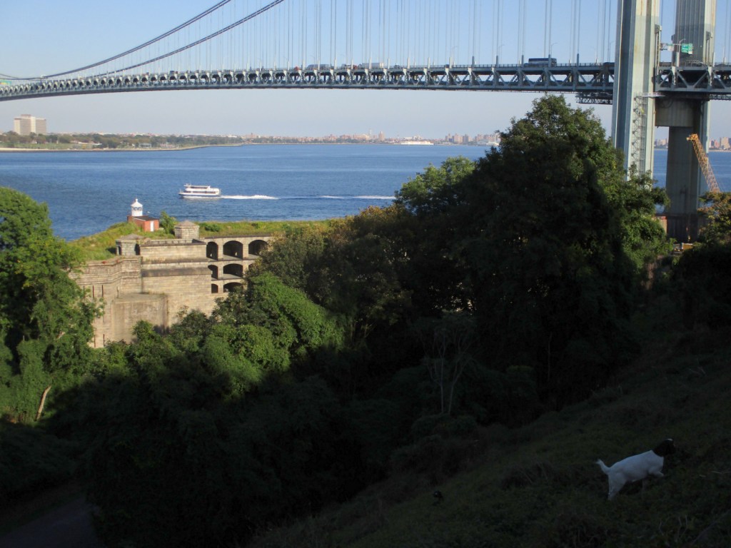
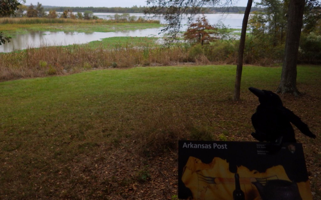
Following the Louisiana Purchase, the post briefly served as the territorial capital, then that moved to Little Rock, Arkansas in 1821. It fell into decline until Fort Hindman was built during the Civil War, after which time much of the shoreline was washed away by the Arkansas River. There are not many human structures left to see at the site, but the bayou offers great opportunities for birdwatching.
Best Trail
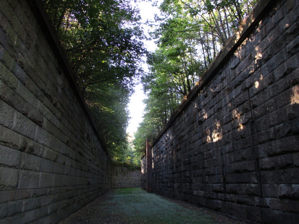
A trail passes Park Lake through the Old Townsite to shoreline views of Post Bayou and the Arkansas River. A trench dug by the Confederate army during the Civil War is also visible from the trail and a side road north of the visitor center.
Instagram-worthy Photo
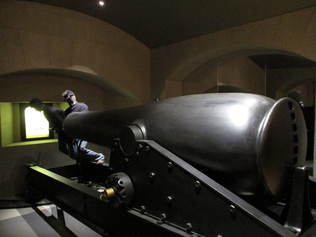
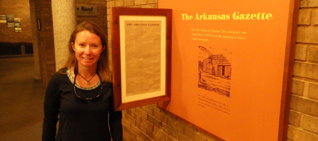
There are plenty of cannons around to pose with, but Tiff was most excited about the original location of The Arkansas Gazette newspaper that started right here in 1819 and is still printed today in Little Rock (which is where she grew up with Wondon).

Peak Season
Spring and fall when there are less mosquitoes.
Hours
https://www.nps.gov/arpo/planyourvisit/basicinfo.htm
Fees
None
Road Conditions
All roads paved
Camping
Camping is not allowed within the park, but the U.S. Army Corps of Engineers manages campgrounds at Pendleton Bend and Merrisach Lake Park.
Related Sites
Little Rock Central High School National Historic Site (Arkansas)
Hot Springs National Park (Arkansas)
Natchez Trace Parkway (Mississippi-Tennessee)

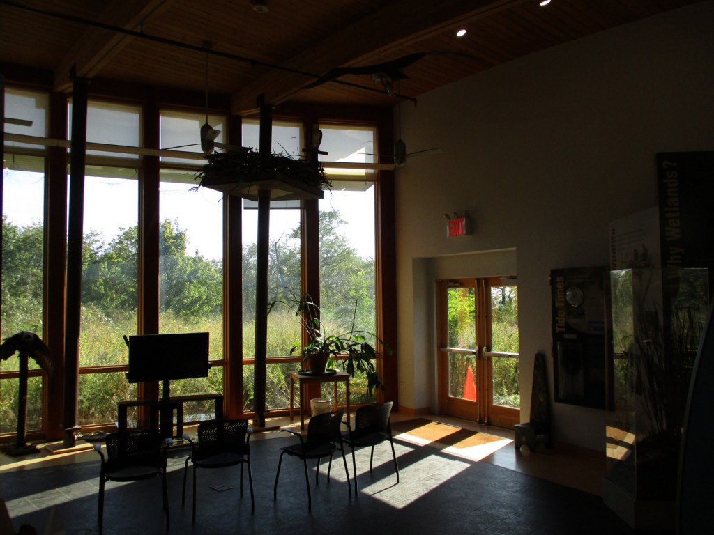
Tiff inside the NPS museum 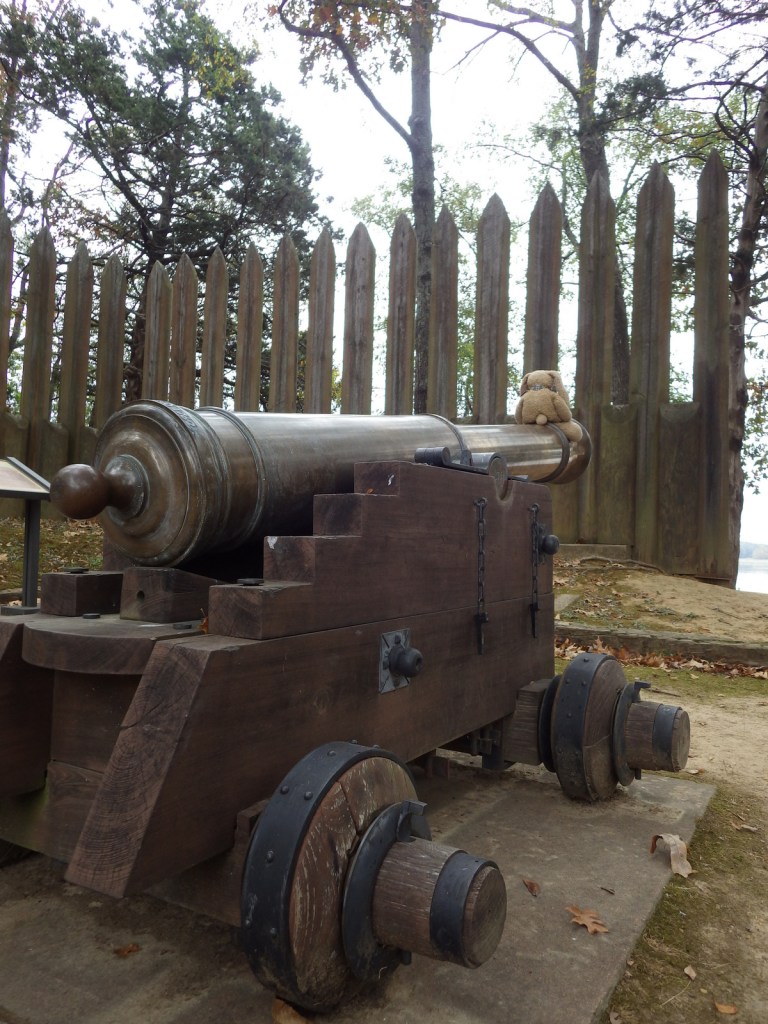


Sora 

A flock of red-winged blackbirds was migrating through in November 2016 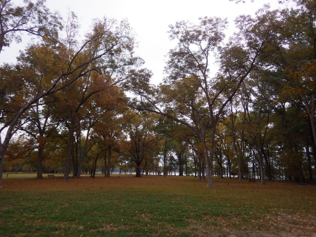
Explore More – Following the 1863 Civil War battle to take the fort, how many Confederate soldiers were taken prisoner?