Overview
On the tropical island of Maui, Haleakalā National Park is accessible by two memorable roads. One road climbs from sea level up to 10,023 feet overlooking Haleakalā Crater, which has almost no vegetation. To the east, a lush tropical rainforest thrives in the Kīpahulu District located at the end of the winding road to Hana. Both districts offer great hiking opportunities and free campgrounds. There is much more information about this park in our National Park guidebook, available on Amazon.

Highlights
Haleakalā Crater, Sliding Sands Trail, Hosmer Grove, ‘Ohe‘o Gulch pools, Waimoku Falls
Must-Do Activity
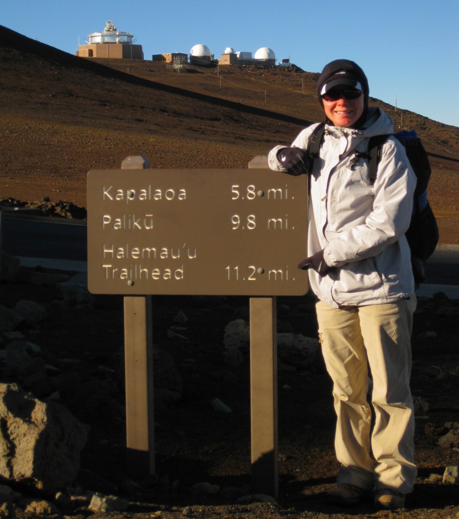
The thing to do at Haleakalā National Park is drive up the curvy entrance road in the pitch dark to catch a sunrise from 10,000 feet. Haleakalā translates to “the house of the sun” so it is kind of a big deal here. It is like a party atmosphere in the chilly air waiting for the guest of honor. Of course, we were up there one morning, though we thought the sunsets were prettier and much less crowded. Several tours drive visitors to the summit for sunrise then provide bicycles to coast back down the switchbacks outside the park boundaries.
Best Trail
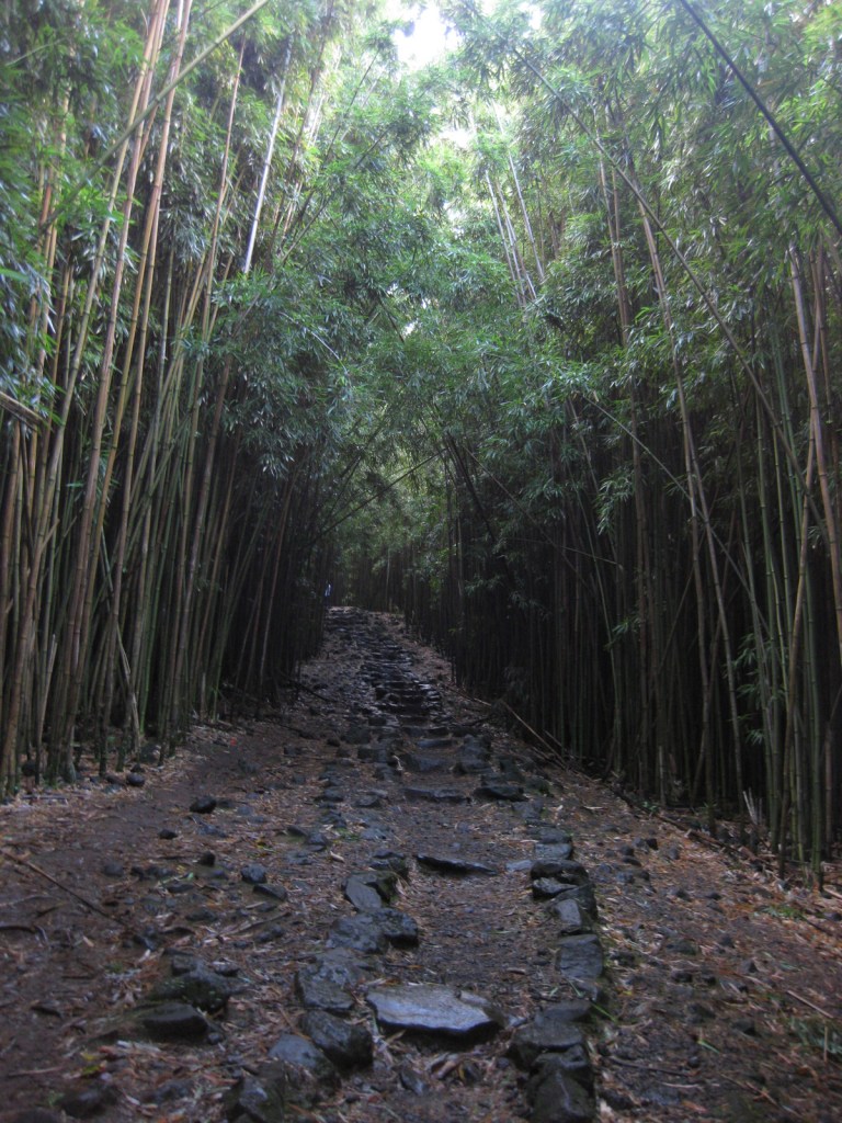
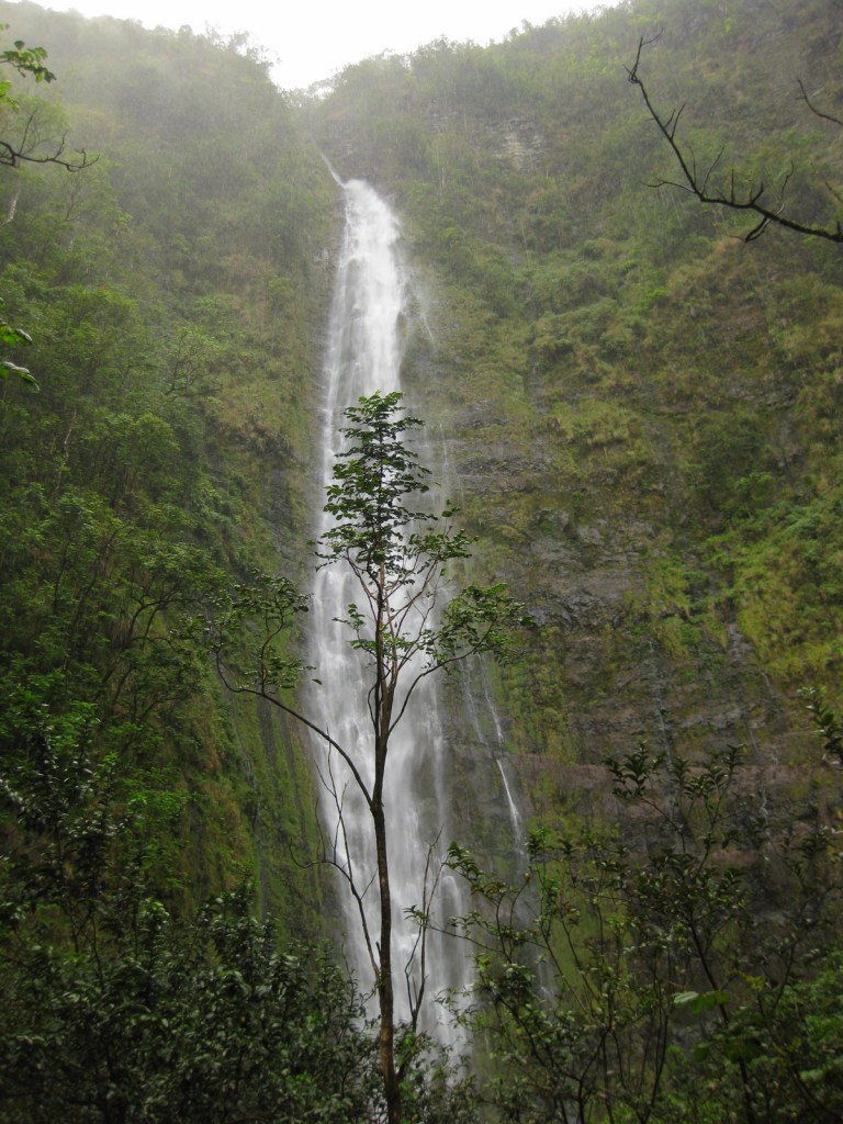
In the Kīpahulu District, we hiked the two-mile Pipiwai Trail to the 400 foot cascades of Waimoku Falls in a steady downpour. The trail offers some protection from rain under sprawling banyan trees and incredibly dense bamboo thickets. Like many of the plant and animal species found throughout Hawai‘i, the banyan and bamboo are not native to the islands, but have thrived on this isolated landmass 2,400 miles from the nearest continent.
Instagram-worthy Photo
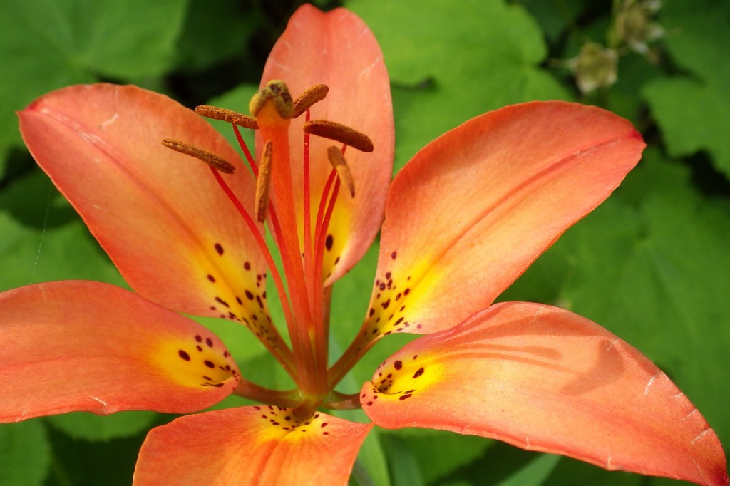
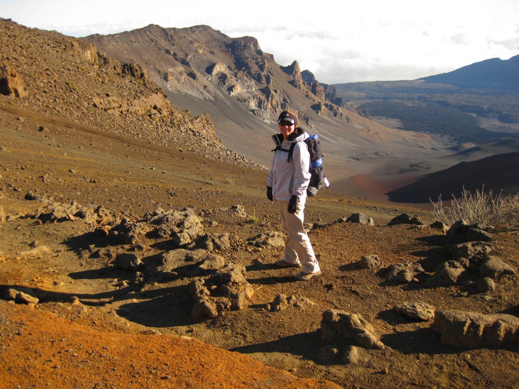
Silversword (‘ahinahina) plants grow all along the Sliding Sands Trail that accesses the bottom of the 2,000 foot deep crater.

Peak Season
Year round, though summer might be slightly warmer at 10,000 feet in elevation.
Hours
https://www.nps.gov/hale/planyourvisit/hours.htm
Fees
$30 per vehicle or America the Beautiful pass
Road Conditions
All roads are paved, but the road to the summit is full of switchbacks and bicyclists. The curvy road to Hana is well known for its one-lane bridges, of which we counted 53 before we reached the Kīpahulu District.
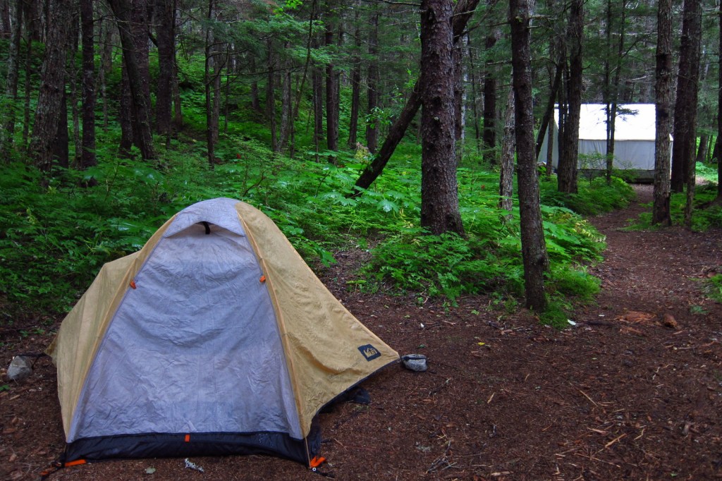
Camping
The two National Park Service campgrounds here are free, a big savings in a place that can be expensive to visit. There is a lottery for three hike-in cabins and permits available for wilderness backpacking campsites.
Related Sites
Kalaupapa National Historical Park (Hawai‘i)
Hawai‘i Volcanoes National Park (Hawai‘i)
Kaloko-Honokōhau National Historical Park (Hawai‘i)


This design we created to celebrate Haleakalā National Park is available on a variety of products at Cafe Press.


Explore More – How much annual precipitation does the Kīpahulu District receive (making it one of the wettest places on Earth)?

We are a participant in the Amazon Services LLC Associates Program, an affiliate advertising program designed to provide a means for us to earn fees by linking to Amazon.com and affiliated sites.