Overview
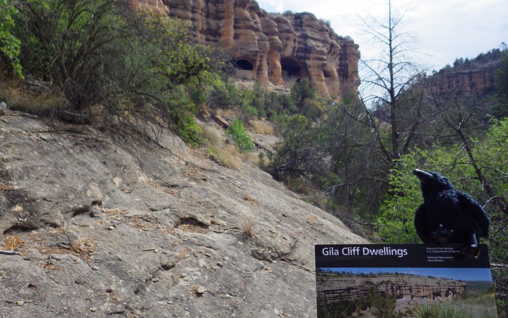
Archaeological evidence suggests indigenous farmers lived around the Gila River dating back thousands of years, but the cliff dwellings were only briefly inhabited between AD 1270 and 1300. After their initial discovery by Anglo-American settlers in 1878 heavy looting occurred, prompting President Theodore Roosevelt to establish Gila Cliff Dwellings National Monument in 1907. It is not an easy part of the country to access, but offers two incredibly scenic drives through the Gila National Forest in southwestern New Mexico. Plan to spend at least a couple days in the area, maybe hiking or backpacking to some hot springs.
Highlights
Museum, film, ruins, scenic views, hot springs in area
Must-Do Activity
The Gila Visitor Center is jointly managed for the 533-acre National Monument and 558,000-acre Gila Wilderness (which in 1924 became the world’s first designated Wilderness). From the National Park Service (NPS) contact station located just down the road, a one-mile loop trail climbs 180 feet to a well-preserved collection of cliff dwellings. If you find that you enjoy climbing ladders up to cliff dwellings, then check out Bandelier National Monument and Balcony House at Mesa Verde National Park.
Best Trail
The trailhead also provides access to the Gila Wilderness, so watch for backpackers on the road and black bears along the West Fork Gila River. Lightfeather Hot Springs is less than one mile from a different trailhead located closer to the Gila Visitor Center.
Instagram-worthy Photo
There are about 40 rooms in the cliff dwelling ruins, which housed approximately ten families. The south-facing cliff dwellings received the sun in the winter and shade in the summer.

Peak Season
Summer
Hours
https://www.nps.gov/gicl/planyourvisit/hours.htm
Fees
None
Road Conditions
The access roads are paved, but narrow and curvy, especially Highway 15 that heads north from Silver City, New Mexico.
Camping
Upper and Lower Scorpion Campgrounds are located just outside the National Monument boundaries in Gila National Forest. No permits are necessary to backpack in the Gila Wilderness.
Related Sites
Montezuma Castle National Monument (Arizona)
Fort Bowie National Historic Site (Arizona)
Chiricahua National Monument (Arizona)

Tiff on the trail to the cliff dwellings 
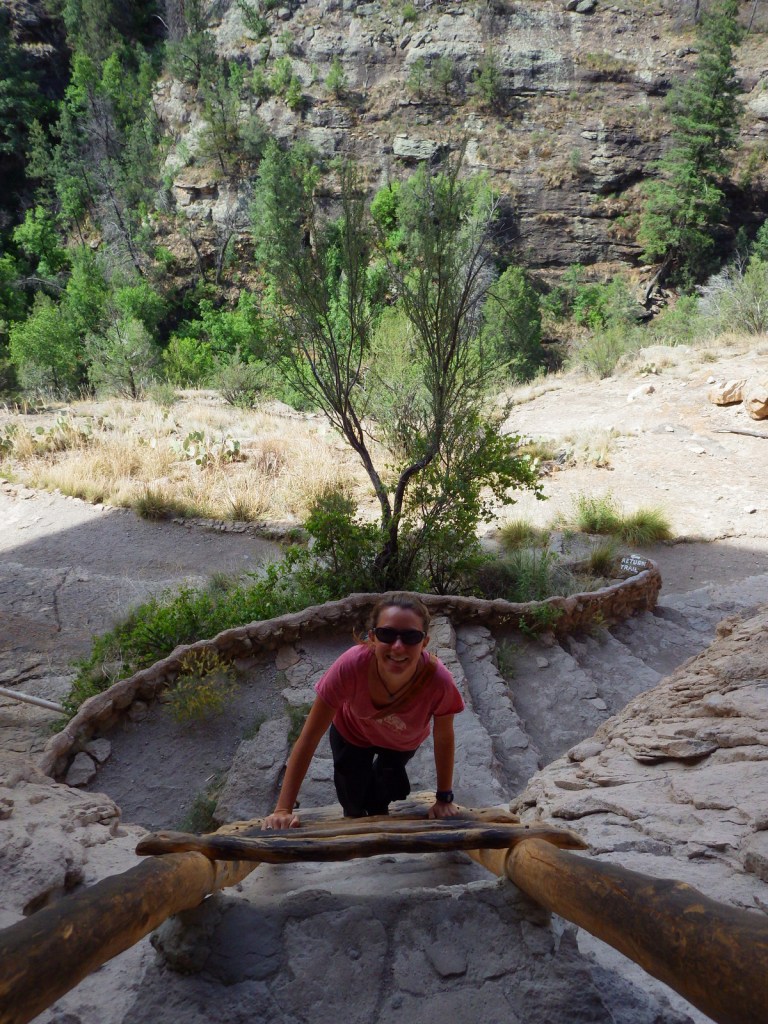
Tiff climbing a ladder 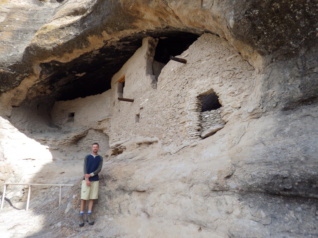
Scott at the cliff dwellings 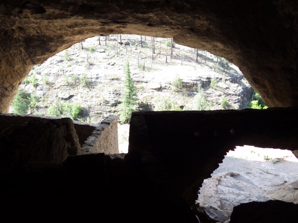
View from inside the cliff dwellings 
Tiff inside the cliff dwellings 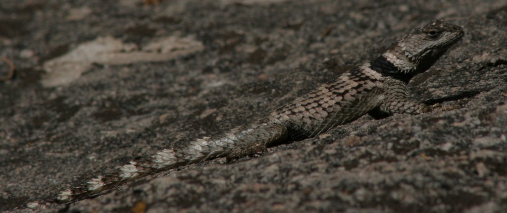
Spiny crevice lizard 
Lightfeather Hot Springs is a short walk from the trailhead 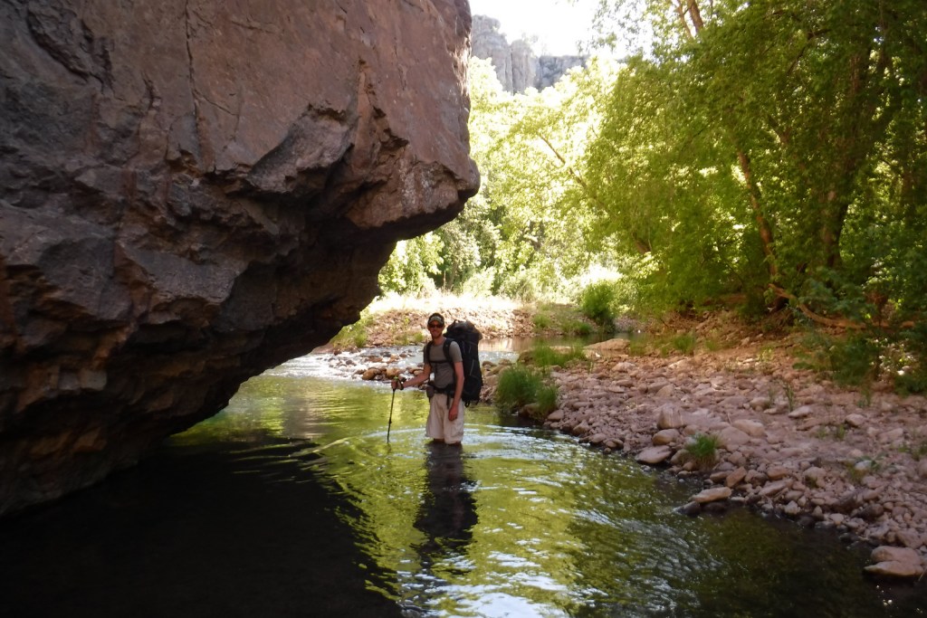
Scott backpacking in the Gila Wilderness (Gila National Forest)
Explore More – The people who built the cliff dwellings were part of what culture, with pottery designs unique to the Tularosa phase (AD 1100 to 1300)?