Overview
In northwestern Kansas, a small farming community joined the prestigious ranks of National Park Service (NPS) sites in 1996. Historically-significant Nicodemus, Kansas was founded in 1877 by former slaves from Kentucky freed during the Civil War. Between 1860 and 1880, the population of African-Americans in Kansas jumped from 627 to 43,107, so the town is representative of a historic period of diaspora, settlement, and reconstruction.
Highlights
Township Hall, St. Francis Hotel, Old First Baptist Church
Must-Do Activity
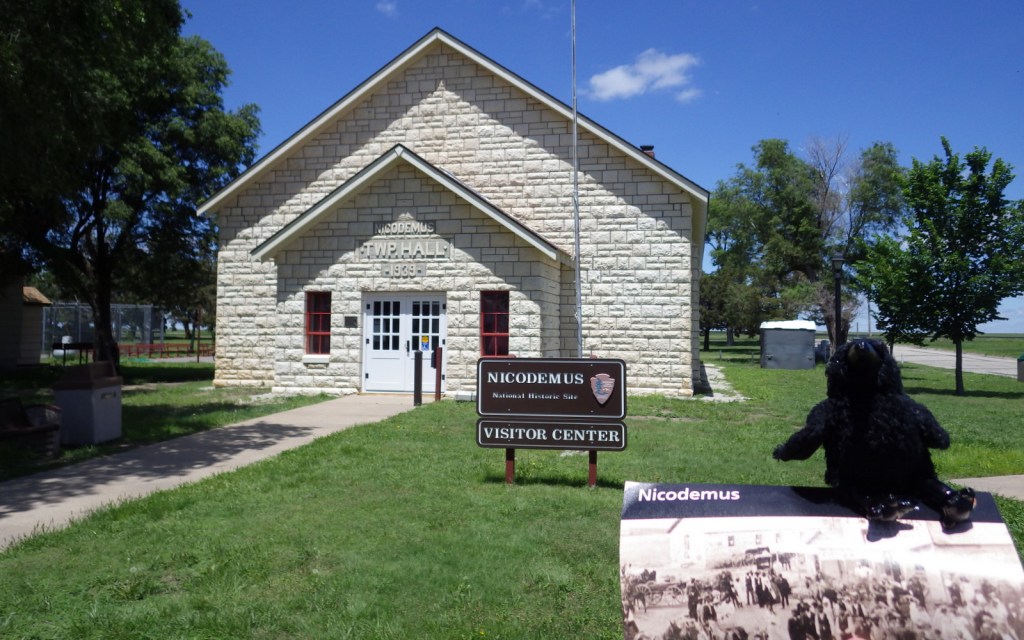
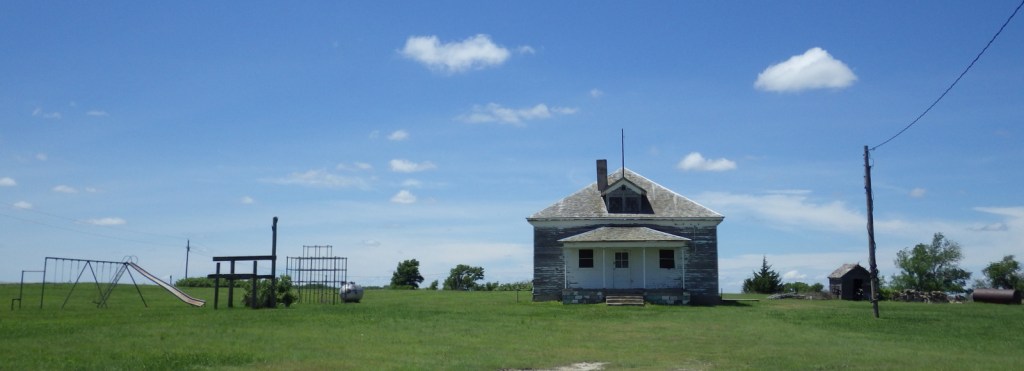
Start your tour at the NPS visitor center in Township Hall built by the Works Progress Administration in 1939 (it is not open every day so check online first). Please respect private property as you drive past two churches, a circa-1880 hotel, and an old schoolhouse (which are all closed to the public) that have interpretive signs along the street out front. Every summer around the last weekend in July, the small town grows as descendants of its founders return for the Emancipation Celebration. This event is open to the public and would be a great time to visit.
Best Trail
None
Instagram-worthy Photo
The First Baptist Church was completed in 1907, constructed around a smaller church (sort of like a turducken). When it was completed, the original structure was removed in small pieces through the front door.

Peak Season
Summer
Hours
https://www.nps.gov/nico/planyourvisit/hours.htm
Fees
None
Road Conditions
All roads paved
Camping
Weber State Park is located 10 miles east of Nicodemus, Kansas.
Related Sites
Homestead National Monument of America (Nebraska)
Fort Larned National Historic Site (Kansas)
Brown v. Board of Education National Historic Site (Kansas)

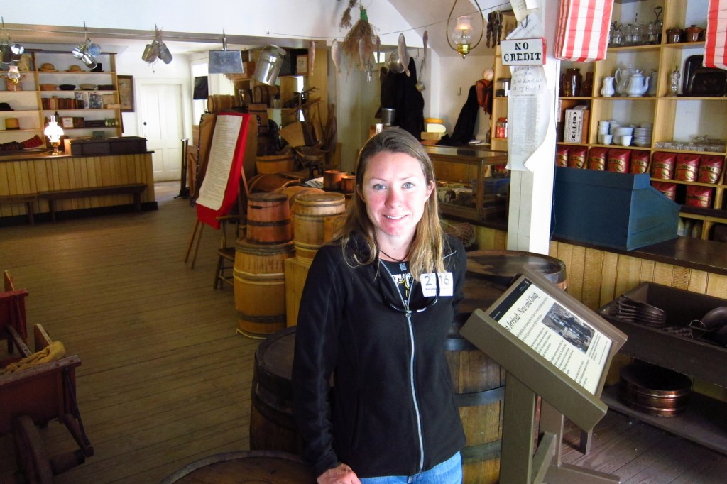
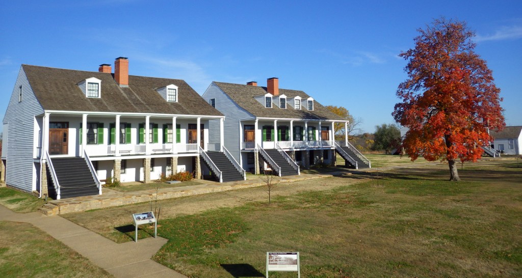
Start here at the Township Hall, which serves as the NPS visitor center. 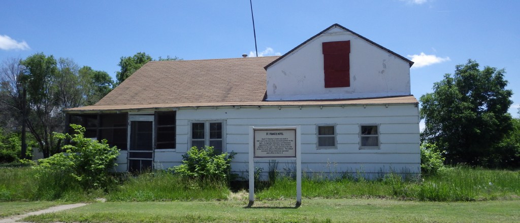
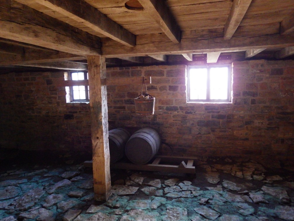
St. Francis Hotel 
The Old First Baptist Church was built in 1907 and used until 1977. 
Explore More – For whom was the town of Nicodemus named?