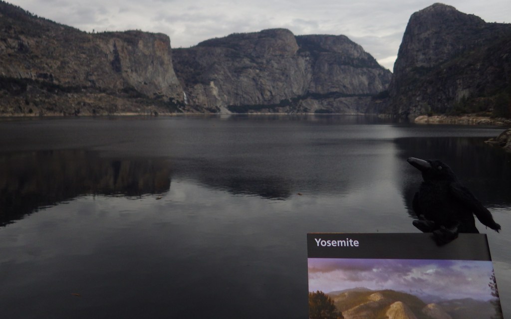
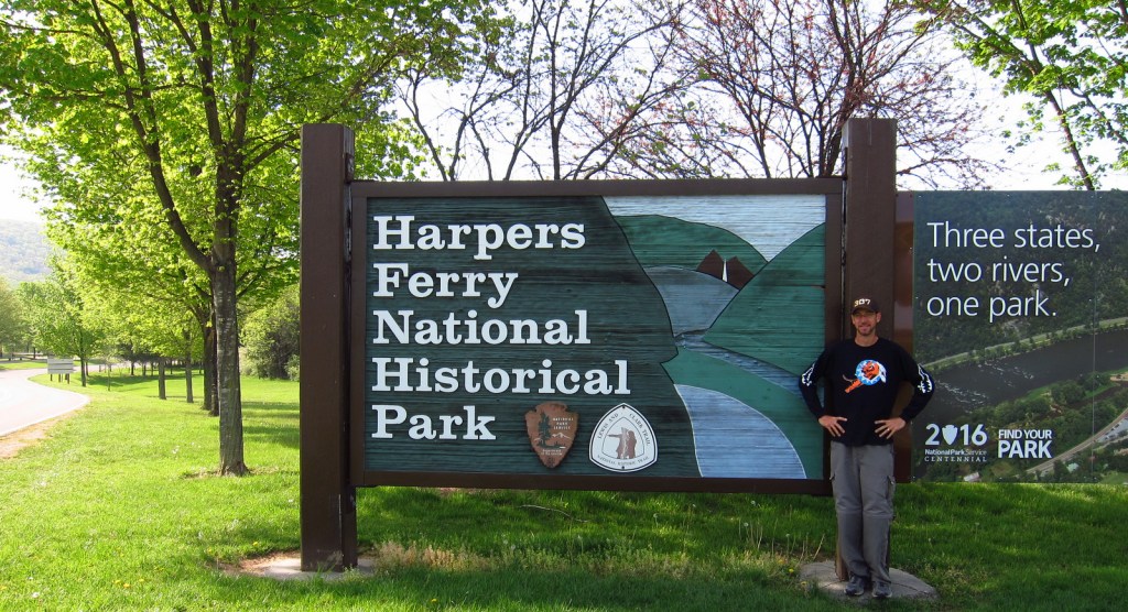
Overview
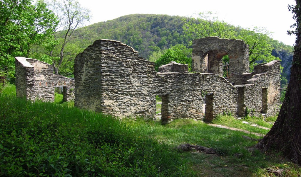
Robert Harper started ferrying folks across the Potomac River at this site in 1747. It had a strategic location at the confluence of the Shenandoah and Potomac Rivers where the point of what is now the state of West Virginia meets the border of Maryland and Virginia. Harpers Ferry is most famous for the 1859 raid led by abolitionist John Brown of Kansas in attempt to seize the federal armory to incite a slave rebellion. His trial and execution for treason helped foment the Civil War, during which conflict the town changed hands between the two sides an astounding eight times!

Highlights
Historic buildings, museums, Jefferson Rock, Appalachian National Scenic Trail
Must-Do Activity
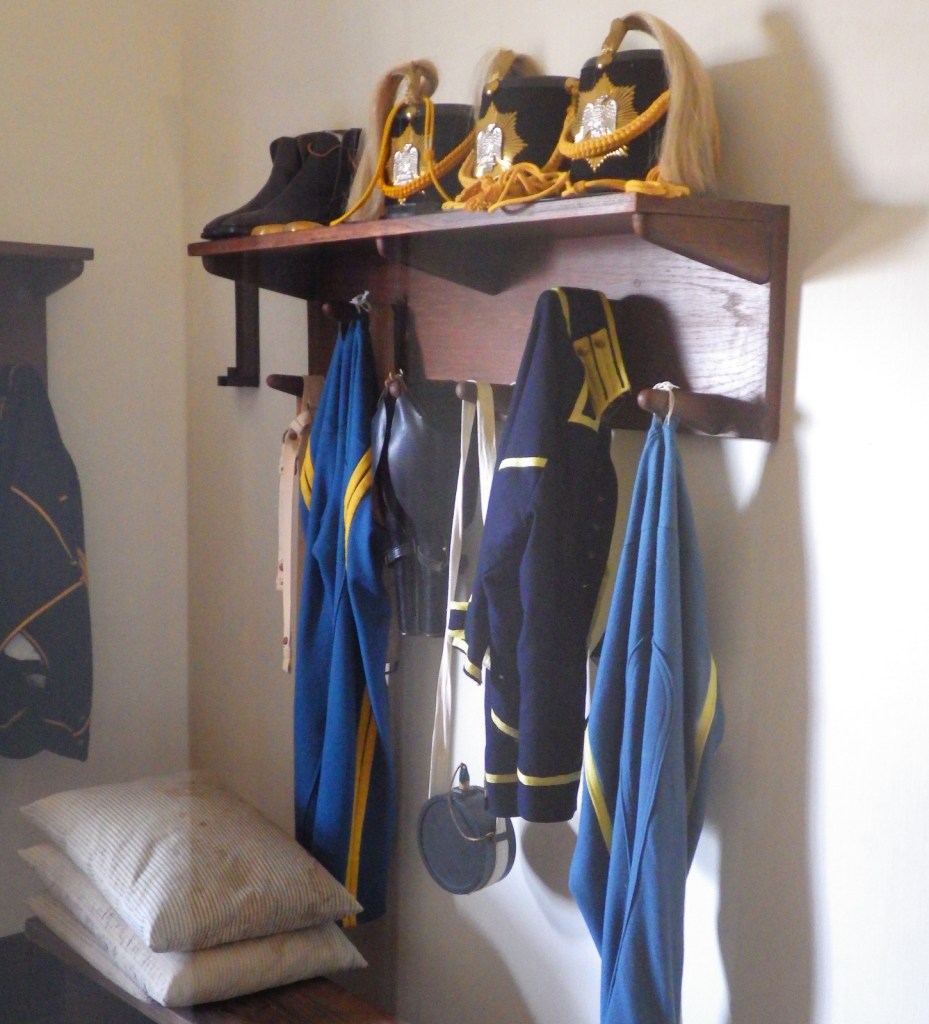
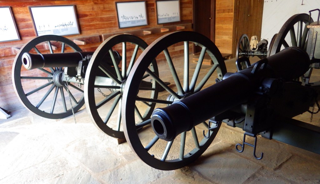
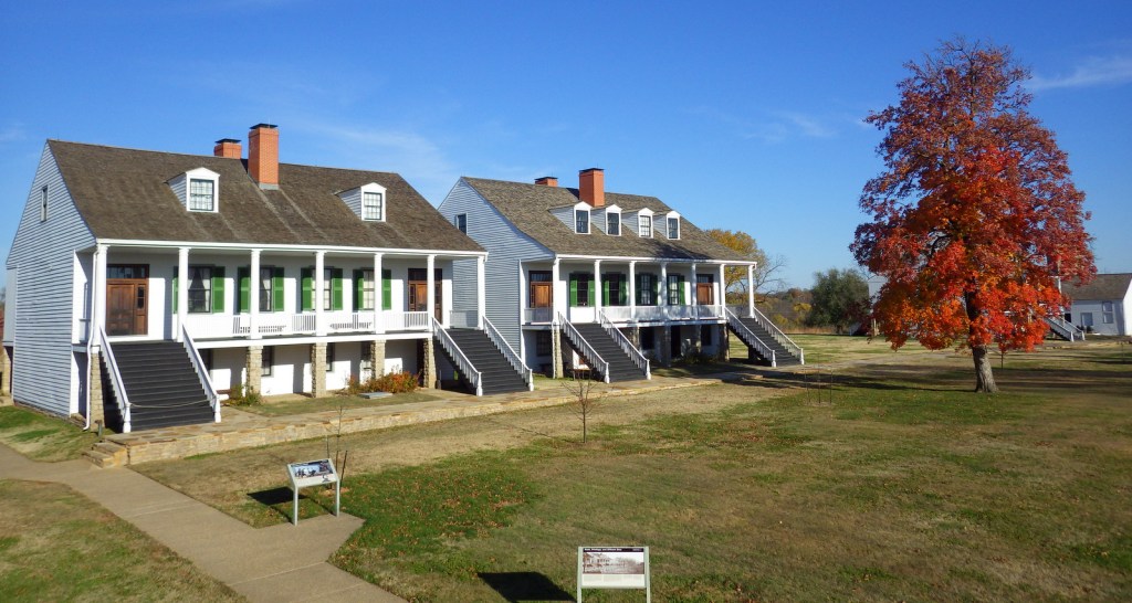
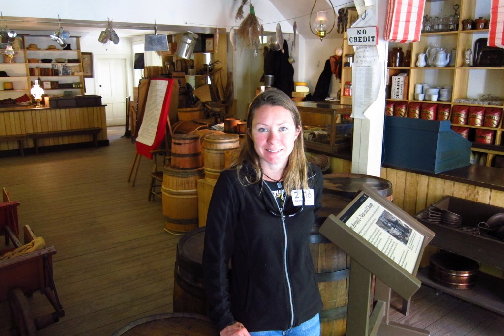
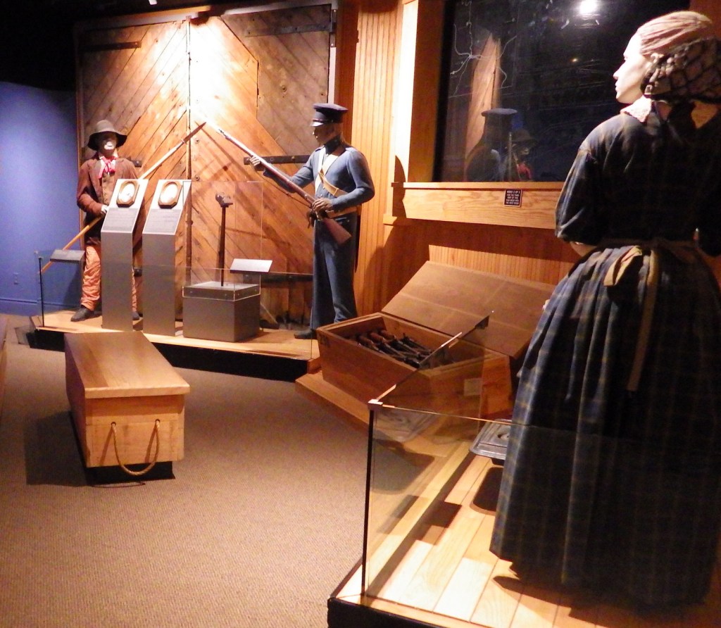
A portion of the town today is run as a series of museums by the National Park Service (NPS), though other parts remain open for business as restaurants, shops, and inns. Parking is limited in town, so the NPS runs a shuttle (free with parking fee) two miles from their visitor center.
Best Trail
You can hike into town on the 2,185-mile Appalachian Trail that cuts right through the buildings and over the footbridge across the Potomac River.
Instagram-worthy Photo
Jefferson Rock is located just up the hill from town, named for Thomas Jefferson who visited in 1783.
Peak Season
Summer
Hours
https://www.nps.gov/hafe/planyourvisit/hours.htm
Fees
$20 to park at NPS visitor center or free with America the Beautiful pass
Road Conditions
There is limited parking in town so it is easier to take a shuttle from the NPS visitor center.
Camping
There are multiple private campgrounds in the area, as well as Maryland’s Gambrill State Park.
Related Sites
Shenandoah National Park (Virginia)
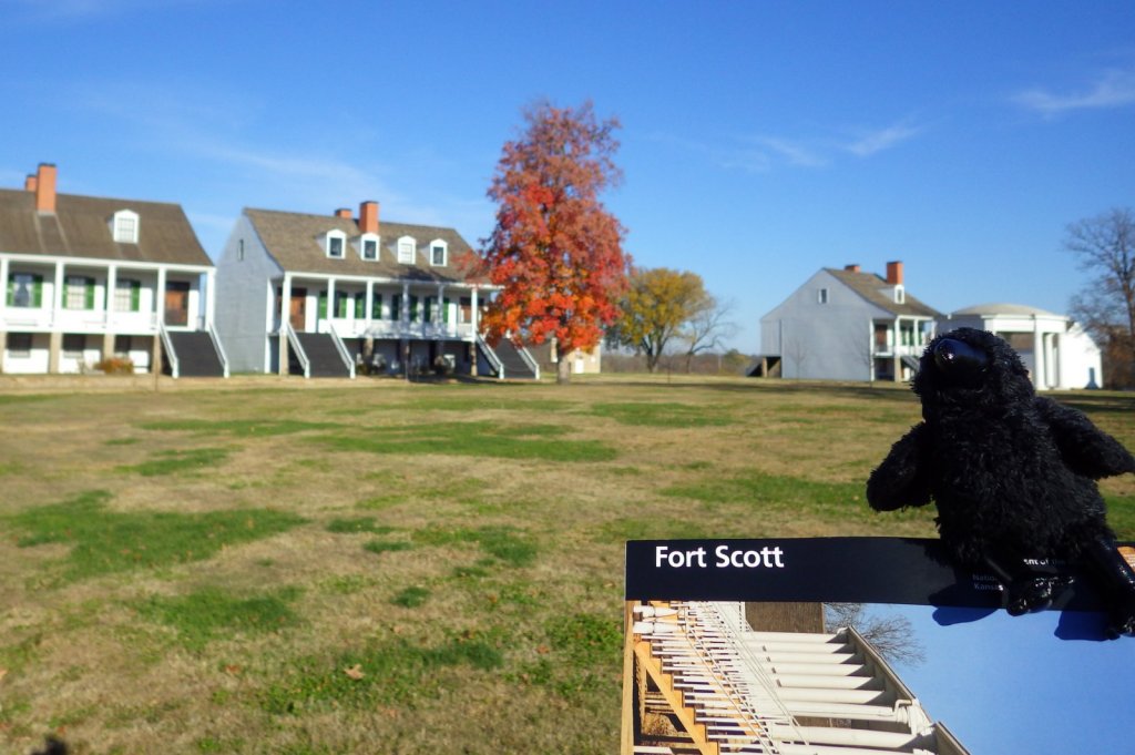
Fort Scott National Historic Site (Kansas)
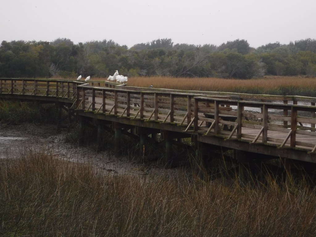
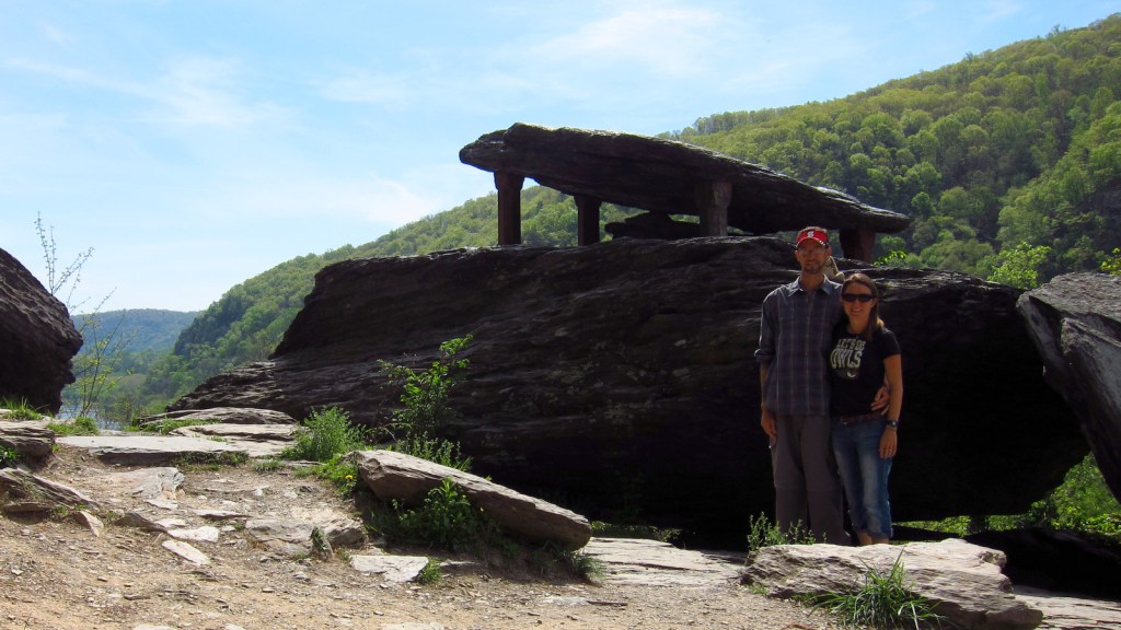
New River Gorge National Park and Preserve (West Virginia)


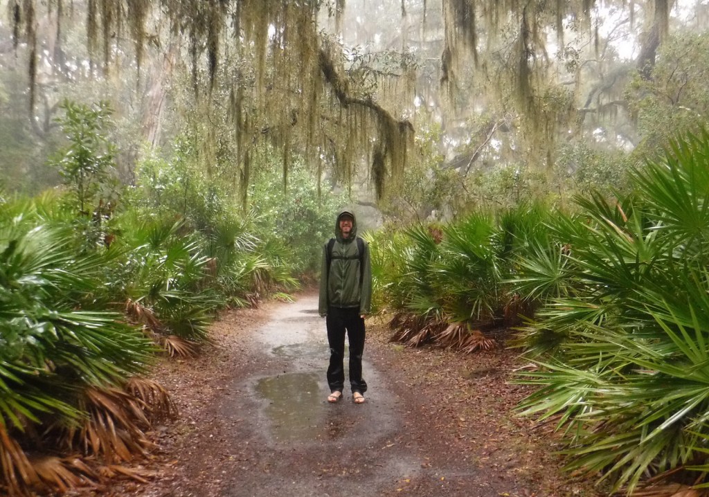
Tiff on the Appalachian National Scenic Trail 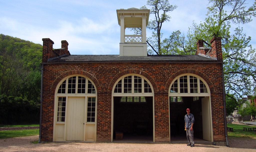

Explore More – Which famous member of the Corps of Discovery visited the national armory in Harpers Ferry in 1803 before heading to the Pacific Ocean?

We are a participant in the Amazon Services LLC Associates Program, an affiliate advertising program designed to provide a means for us to earn fees by linking to Amazon.com and affiliated sites.