Overview
Approximately 9-million visitors utilize the 26,600 acres of Gateway National Recreation Area annually, ranking it the fourth busiest unit in the National Park Service (NPS) System. This is not surprising when you consider the number of people that live around New York Harbor. The park is divided into three units: New Jersey’s Sandy Hook, and New York’s Staten Island and Jamaica Bay.

Highlights
Fort Wadsworth, Sandy Hook Lighthouse, Fort Hancock, Floyd Bennett Field, Jamaica Bay Wildlife Refuge
Must-Do Activity
On Staten Island, tours are offered of Fort Wadsworth, which sits at the base of the beautiful Verrazano-Narrows Bridge to Long Island. It was part of the coastal defense system created to protect New York Harbor in the 1800s, which is clearly displayed at the outstanding NPS museum on the cliff above Fort Wadsworth. In 1913, President William Howard Taft attended a ceremony dedicating the National American Indian Memorial to be built inside the fort, but it never came to fruition because of World War I.
Best Trail
Jamaica Bay Wildlife Refuge is a great spot for birdwatching or watching airplanes take off and land at JFK Airport. The trail around West Pond takes about an hour to walk and feels worlds away from Manhattan, which is visible on the skyline.
Instagram-worthy Photo
The Sandy Hook Unit of Gateway National Recreation Area is located on a spit of sand that sticks out from the New Jersey shoreline. It offers beaches, tours of Fort Hancock, and a lighthouse that dates back to 1764 (making it the oldest continuously operated one in the U.S.). For photos of Sandy Hook, check out our fellow National Park blogger Theresa’s website. Below is one of her excellent photographs of Sandy Hook Lighthouse.

Peak Season
Summer for the beaches
Hours
https://www.nps.gov/gate/planyourvisit/hours.htm
Fees
None, except for beach parking at Sandy Hook and Jacob Riis Park in Queens (plus toll roads/bridges).
Road Conditions
All roads are paved, plus many of the units of Gateway National Recreation Area are accessible by public transportation.
Camping
The NPS offers camping at all three units of Gateway National Recreation Area, so check the NPS website for details.
Related Sites
Statue of Liberty National Monument (New York-New Jersey)
Fire Island National Seashore (New York)
Thomas Edison National Historical Park (New Jersey)

View of Manhattan from near Fort Wadsworth 
Tiff navigating the coastal defenses at the Fort Wadsworth museum 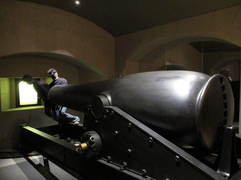
Cannon display at the Fort Wadsworth museum 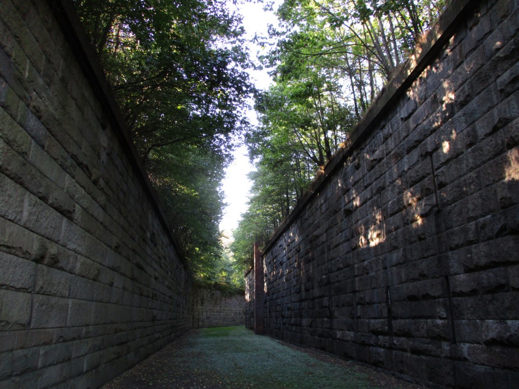
Pseudo-moat near Fort Wadsworth 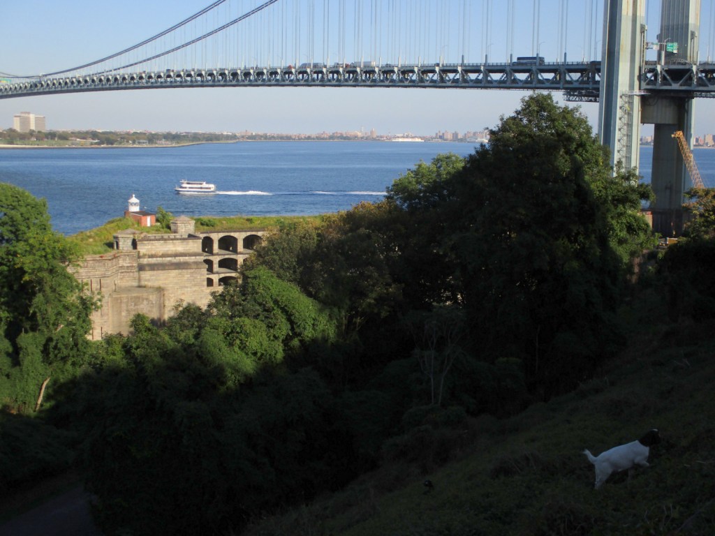
Goats doing weed control at Fort Wadsworth 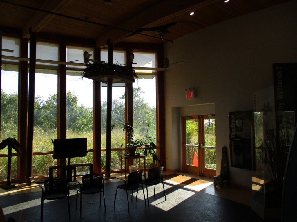
The visitor center at Jamaica Bay Wildlife Refuge 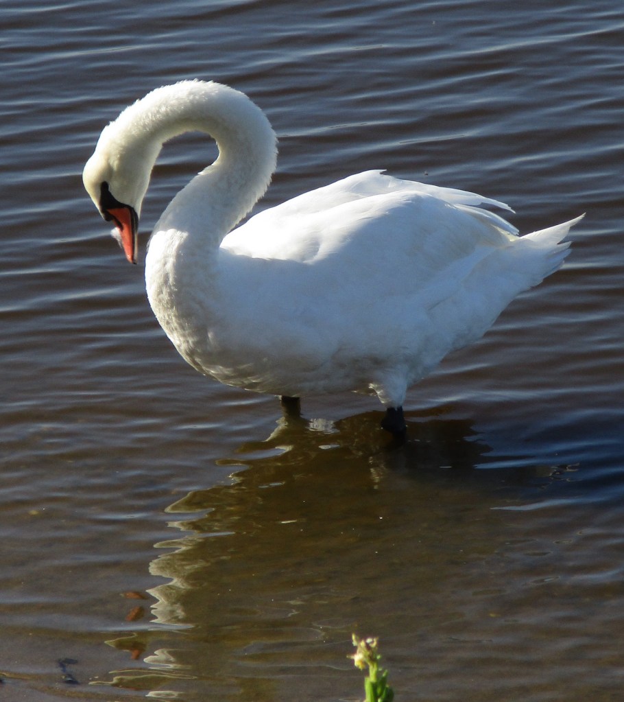

Airplane taking off from JFK Airport 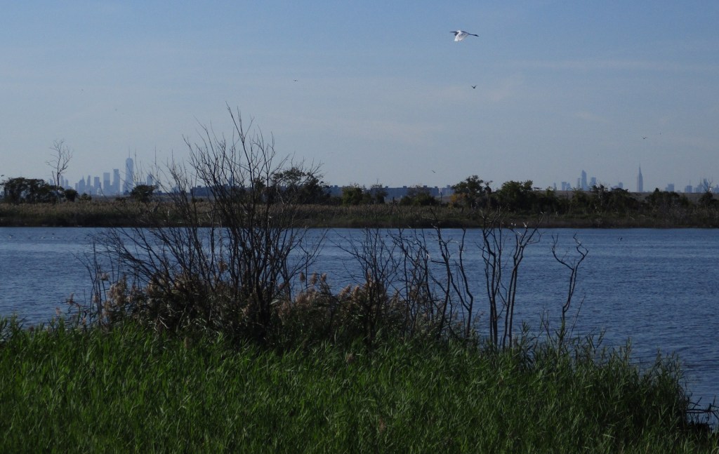
Egret flying over West Pond with city skyline in the background 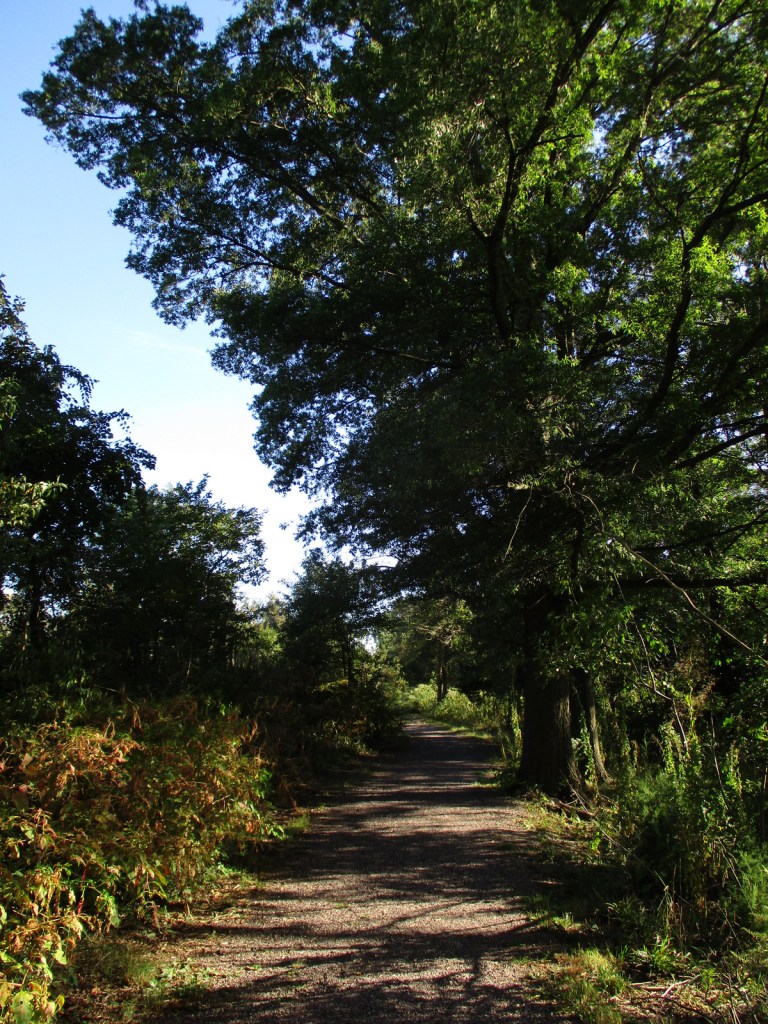
The trail around West Pond feels remote
Explore More – What famous U.S. coin was first publicly displayed at the 1913 dedication of the National American Indian Memorial at Fort Wadsworth?