Overview
When the U.S. Virgin Islands chose a National Park Service (NPS) site for their quarter (see below) in the America the Beautiful coin collection they selected this undeveloped park, which we would rank worst of the five NPS units there. Established in 1992, it contains the only place in the United States where Christopher Columbus’s men set foot 500 years ago (although that is now underwater). The region is still recovering after Hurricanes Irma and Maria did extensive damage in 2017, including the removal of the NPS contact station here.
Highlights
Mangroves, bioluminescent bay
Must-Do Activity
On St. Croix Island, the NPS has exhibits about this park at Christiansted National Historic Site, including descriptions of the western hemisphere’s first violent resistance by natives to European encroachment in 1493. The park is completely undeveloped, including the archaeological sites. The must-do activity is a kayaking trip after dark to Mangrove Lagoon to see the bioluminescent organisms there. Plan your trip around a new moon when the darkness helps them show up better. Do not bother bringing your waterproof camera, since it is nearly impossible to capture on film.
Best Trail
None
Instagram-worthy Photo
The long roots of mangroves help protect the shore from storm damage and provide a safe hiding place for small fish.

Peak Season
Spring
Hours
https://www.nps.gov/sari/planyourvisit/hours.htm
Fees
None, except for guided tours of the bioluminescent bay
Road Conditions
Access roads paved
Camping
There is no official campground, but locals have semi-permanent camps set up on the beach within Salt River Bay National Historical Park and Ecological Preserve and other parts of the island. We found the best deals on St. Croix Island were available through Airbnb.
Related Sites
Buck Island Reef National Monument (U.S. Virgin Islands)
Christiansted National Historic Site (U.S. Virgin Islands)
Virgin Islands National Park (U.S. Virgin Islands)

Tiff at the beach 
Drift wood on the beach 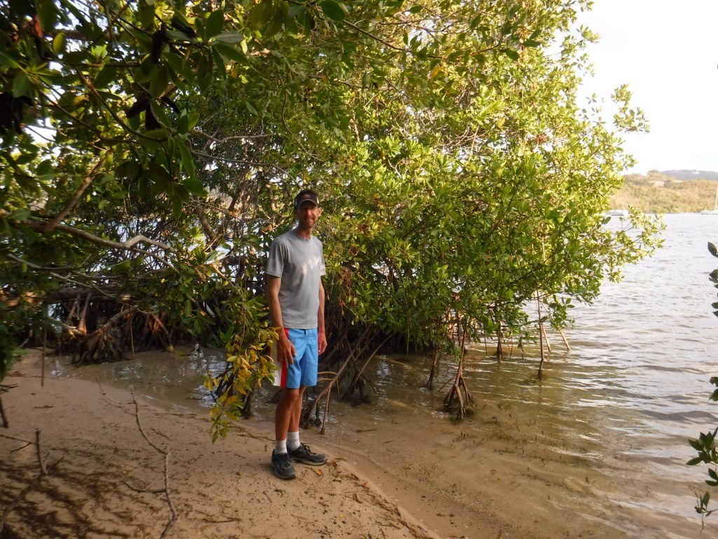
Scott and mangroves 
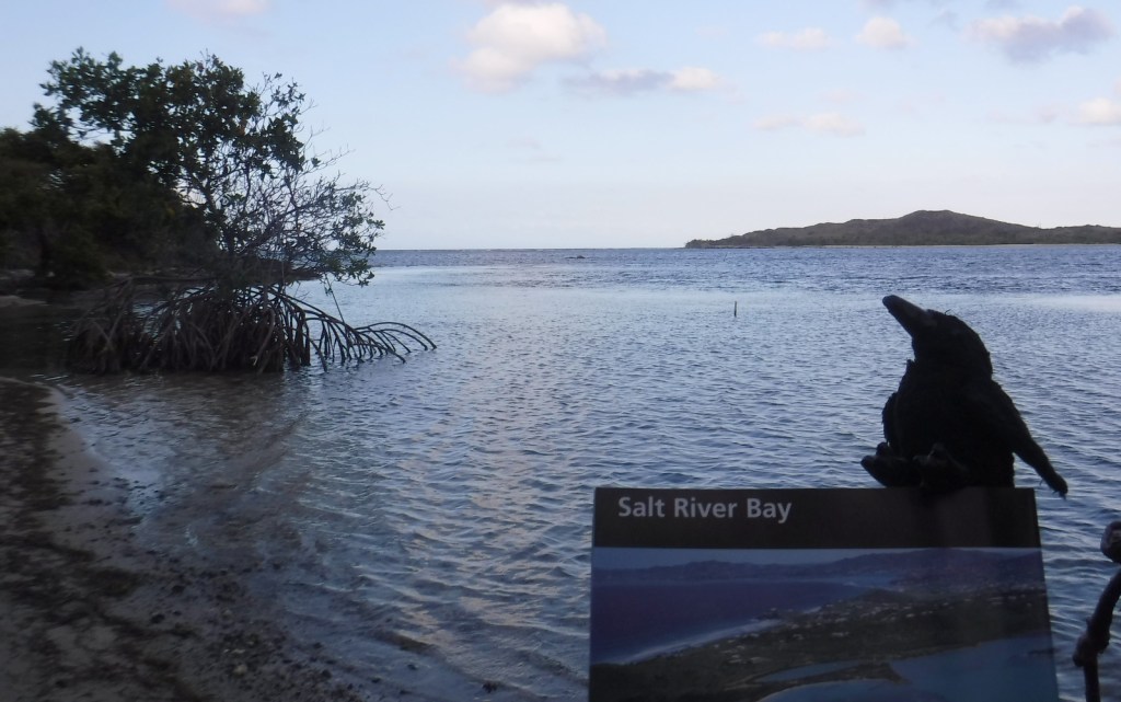
Looking across Salt River Bay 
Tiff and mangroves 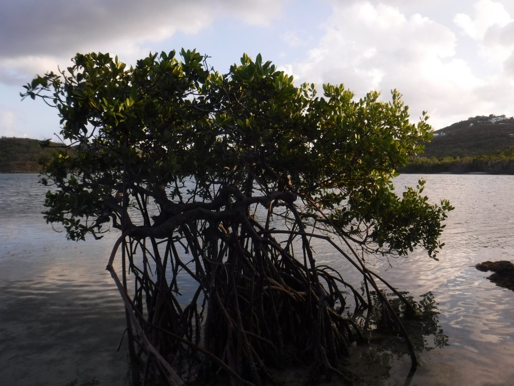
Mangrove tree 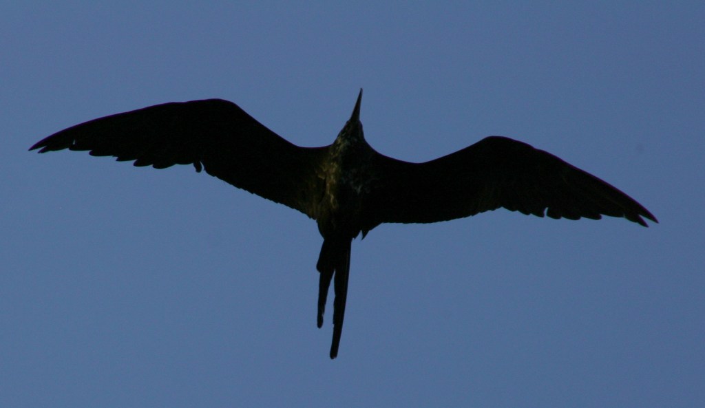
Magnificent frigatebird 
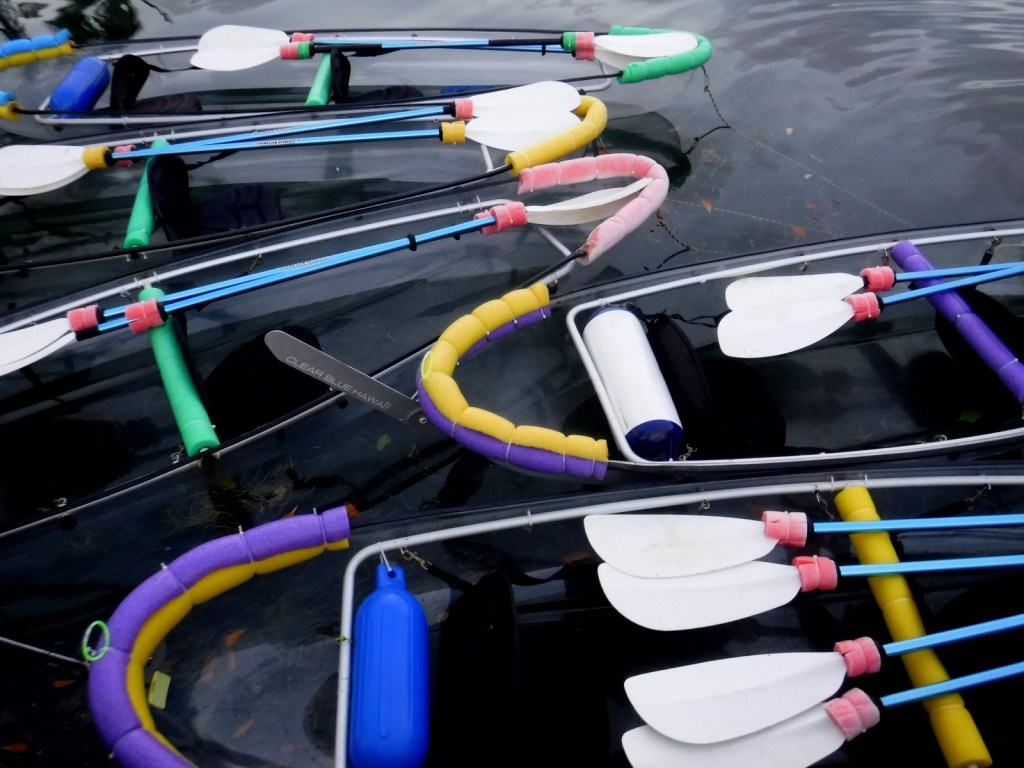
The clear kayaks that we paddled to the bioluminescent bay 
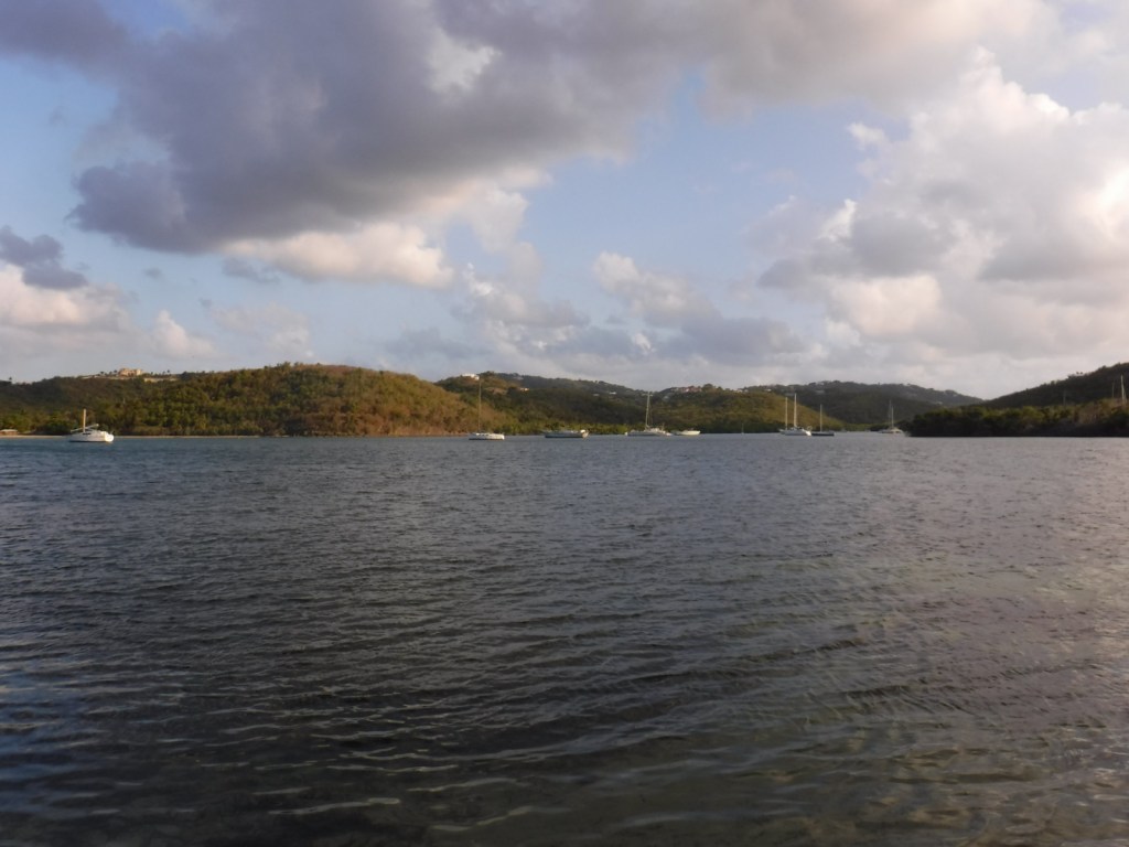
Sunset on the Caribbean Sea
Explore More – This park contains the only Taino ballcourt in the Caribbean built before Columbus’s arrival; when was it discovered?

We are a participant in the Amazon Services LLC Associates Program, an affiliate advertising program designed to provide a means for us to earn fees by linking to Amazon.com and affiliated sites.