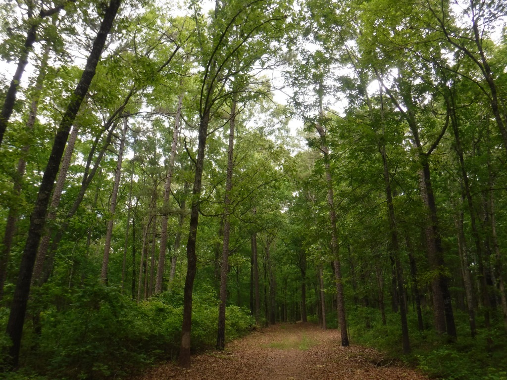
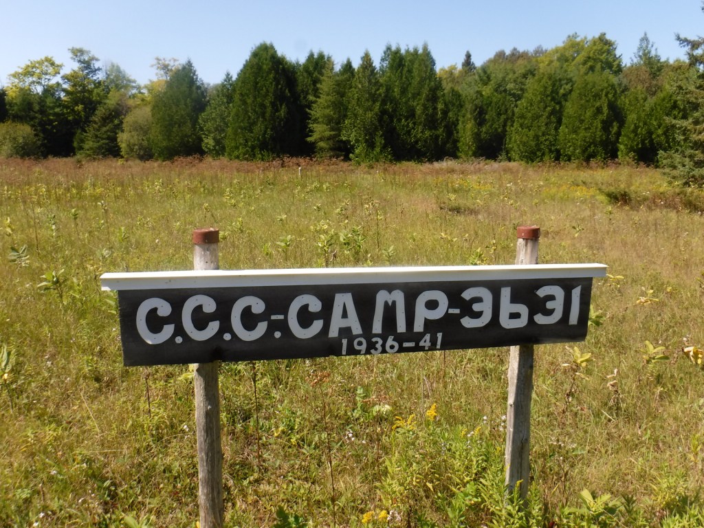
In northern Mississippi, Holly Springs National Forest was established in 1936 on abandoned agricultural land and it still encompasses 364,282 acres of private property. To help control erosion, the area was planted by the Civilian Conservation Corps (CCC) with loblolly pine seedlings. All six National Forests in Mississippi are managed as one administrative unit, including Bienville, De Soto, Delta, Holly Springs, Homochitto, and Tombigbee National Forests. The Holly Springs district ranger station is headquartered not in the town of Holly Springs, but rather in nearby Oxford, home of the University of Mississippi (or Ole Miss).
Highlights
Chewalla Lake, Puskus Lake, Benton Lookout Tower, Lake Tillatoba, Baker’s Pond Hiking Trail, North Cypress Non-Motorized Trail
Must-Do Activity
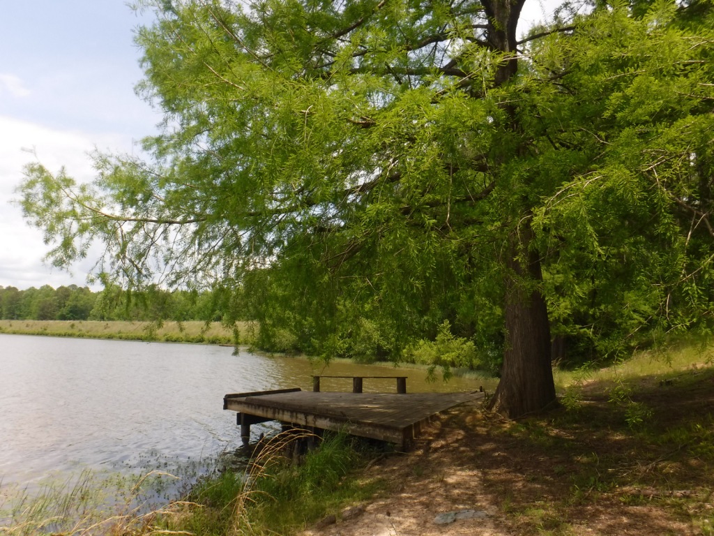
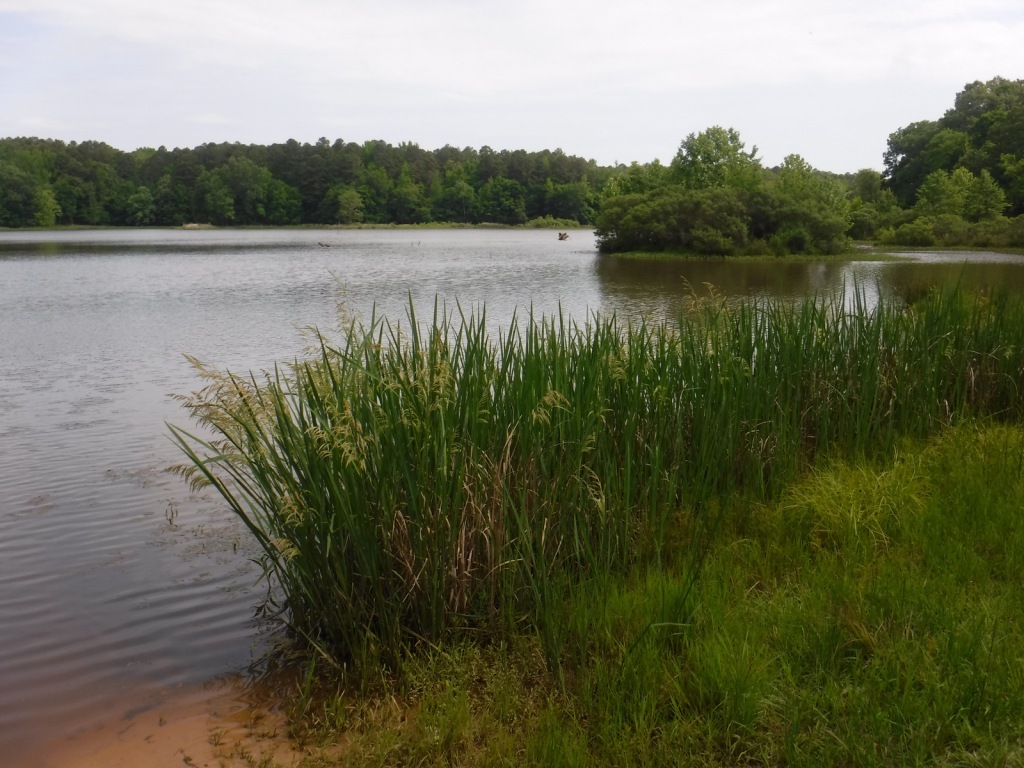
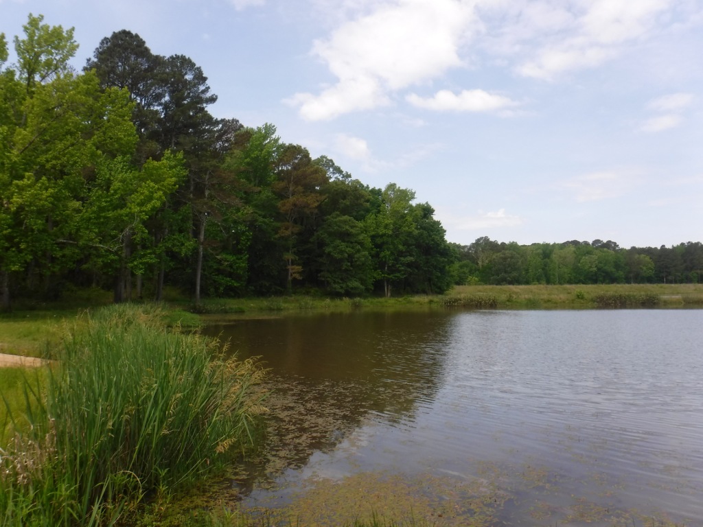
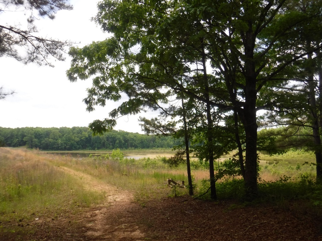
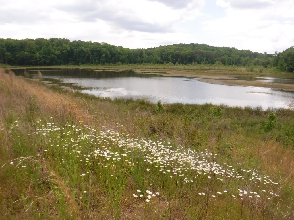
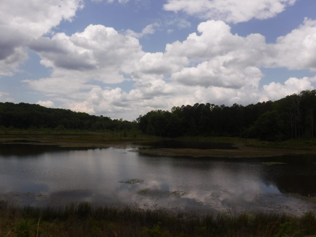
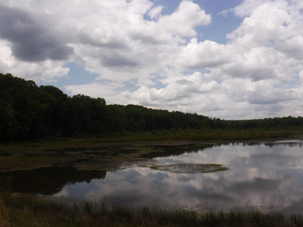
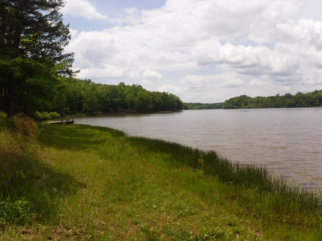
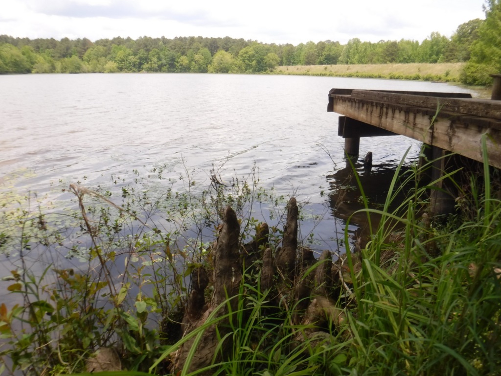
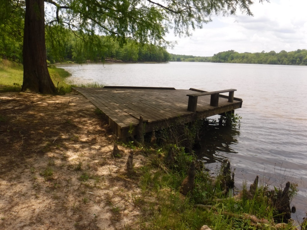
There are many small lakes and ponds throughout this region, some of them accessible from boat ramps on National Forest land. Chewalla Lake Recreation Area is the most developed site offering a swimming beach and campground, plus fishing and boating opportunities. A 2.3-mile trail at the 260-acre lake passes an overlook and a reconstructed Choctaw burial mound. In Holly Springs National Forest’s northeast corner off Highway 72, a short trail accesses Baker’s Pond, the source of the Wolf River. Further south, Lake Tillatoba is a fee-free primitive site managed by Tombigbee National Forest.
Best Trail
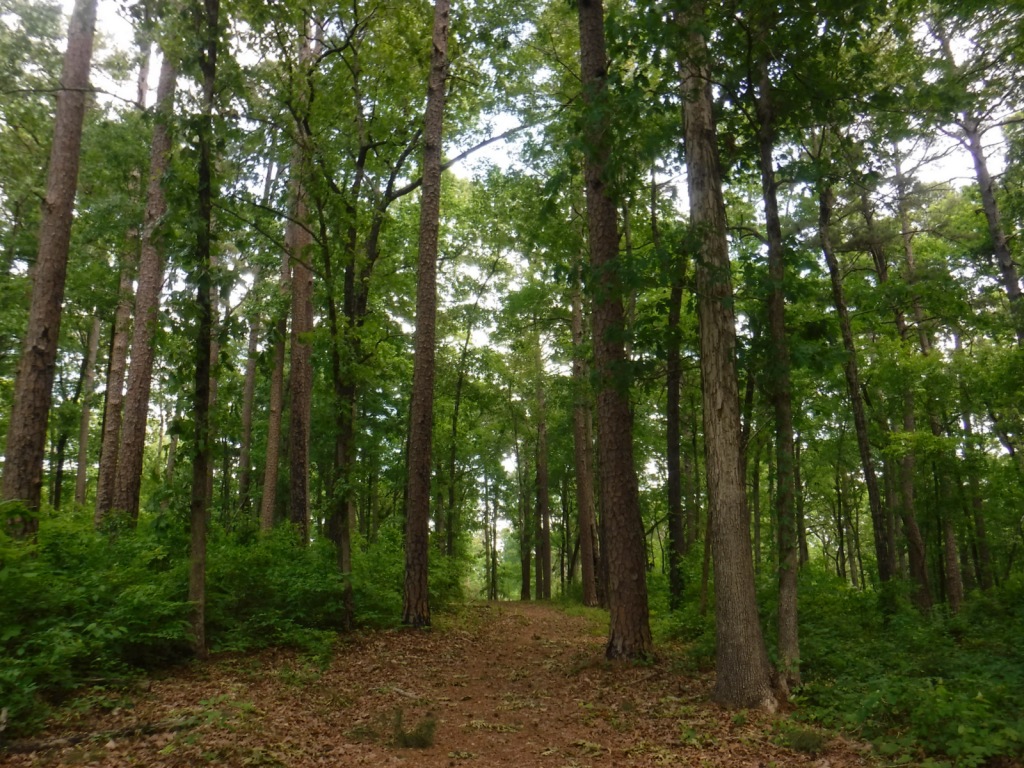
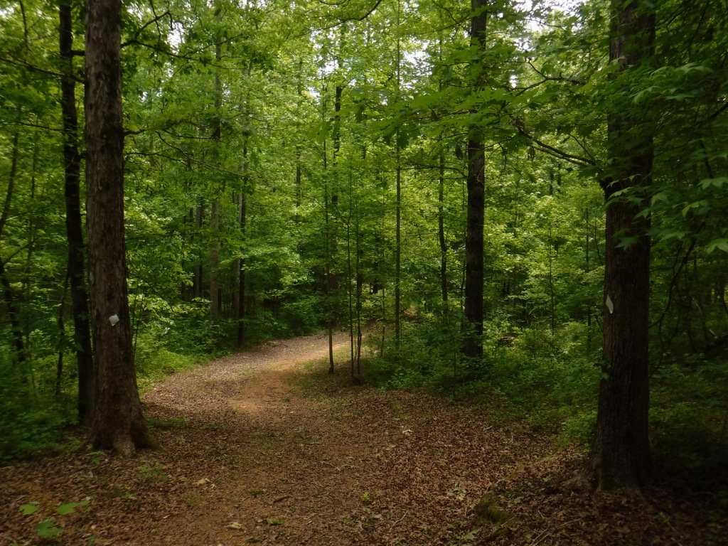
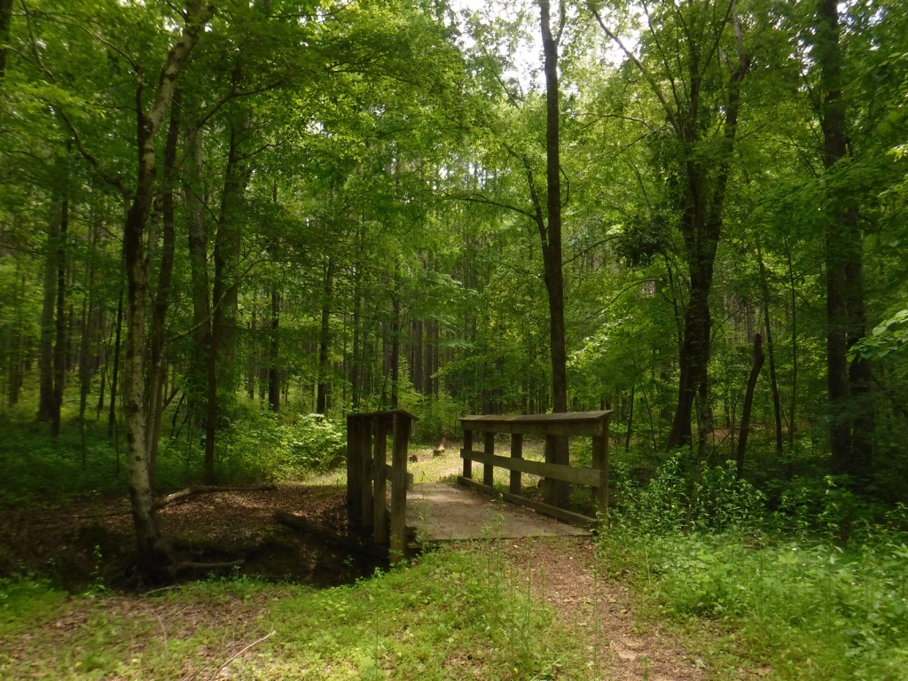
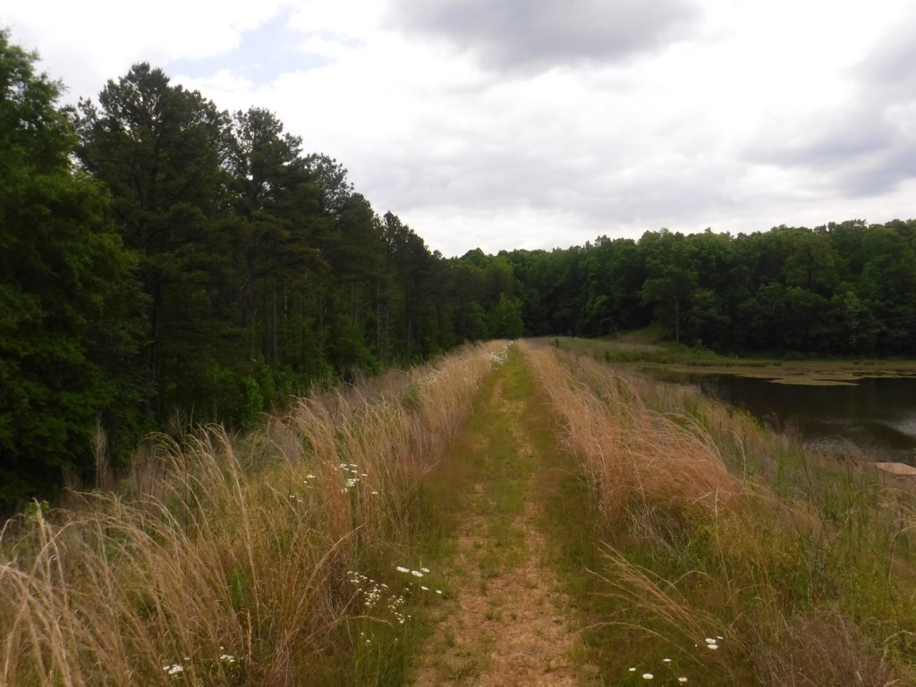
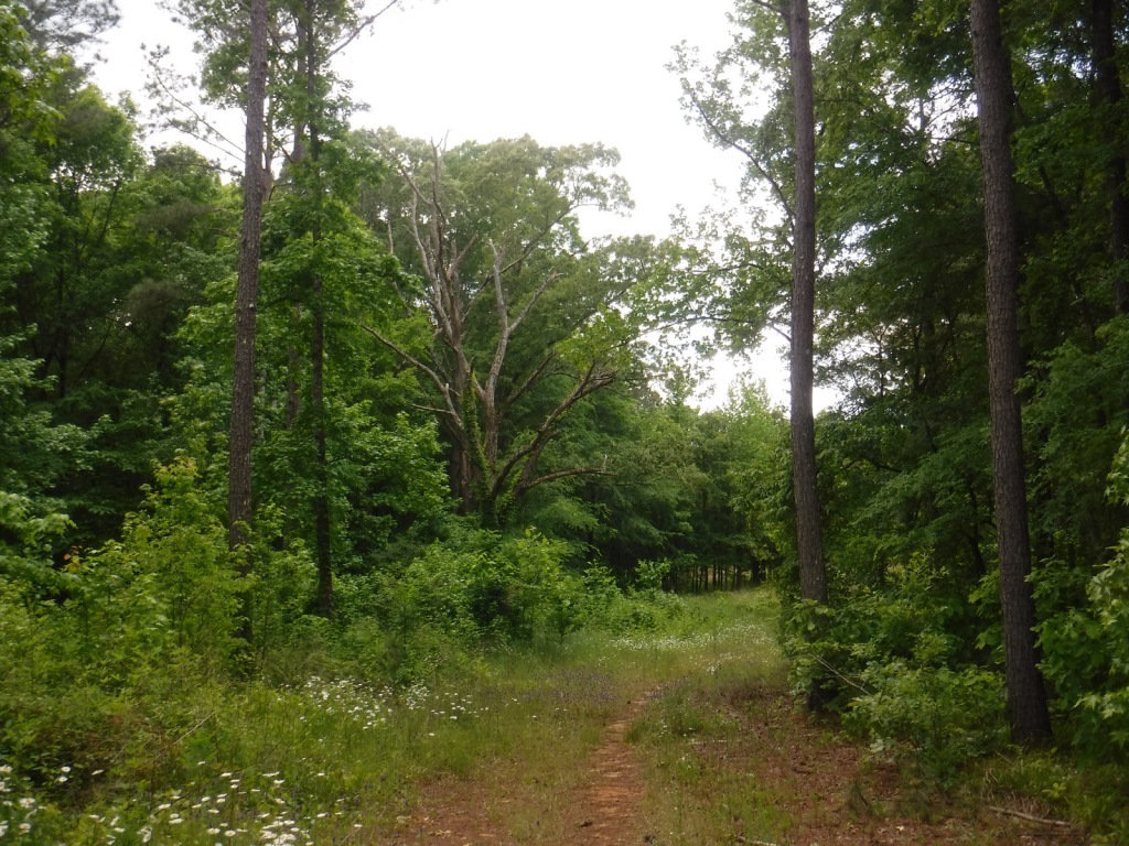
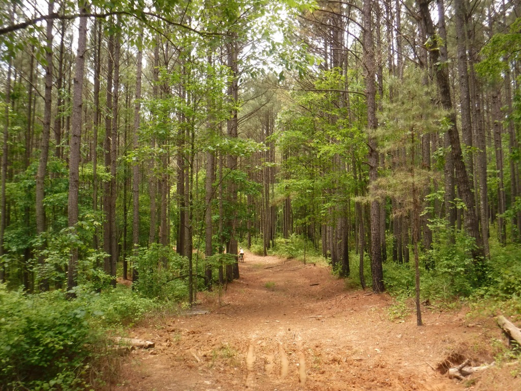
Open to hikers, mountain bikers, and horseback riders, North Cypress Non-Motorized Trail makes a three-mile loop marked by white blazes on trees through a lush green forest. The most scenic stretch crosses the earthen dam creating North Cypress Lake where sweeping views allow for bird watching. There are also short hiking trails at Chewalla Lake, Baker’s Pond, and Puskus Lake.
Watchable Wildlife
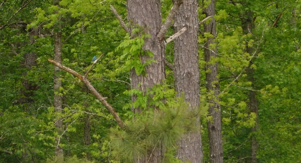
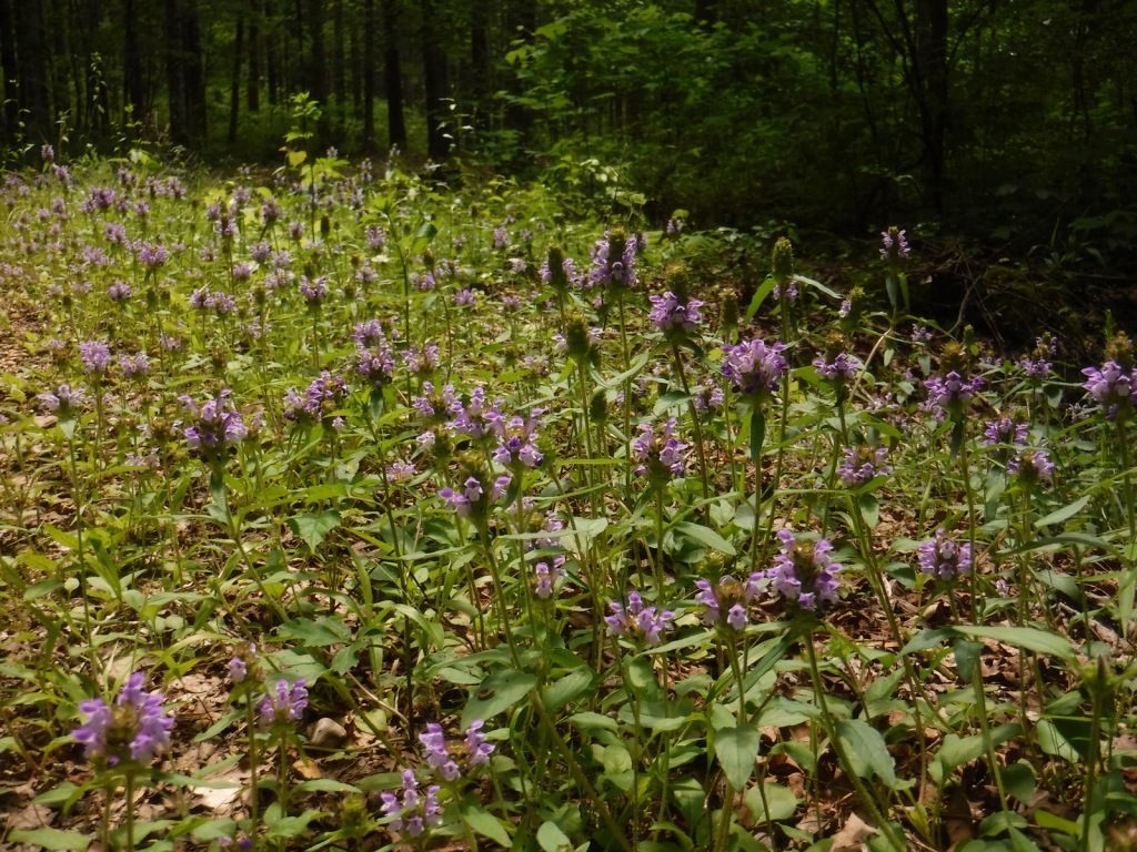
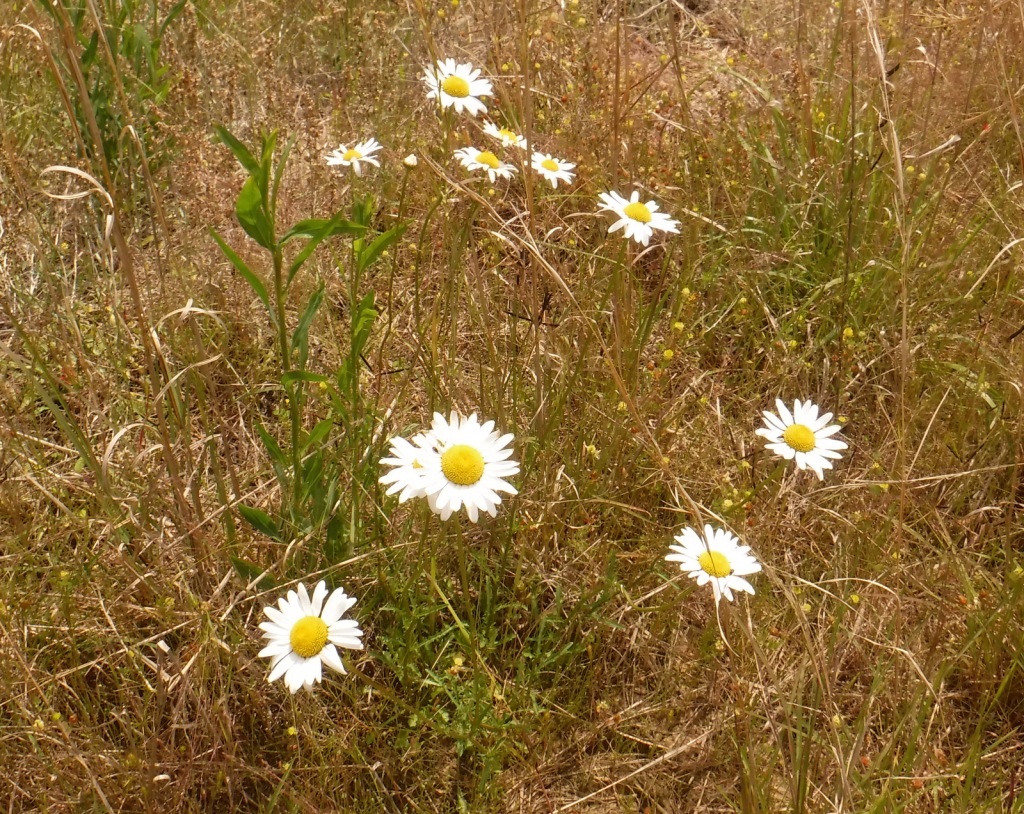
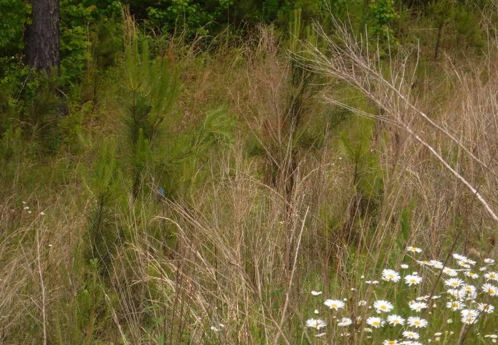
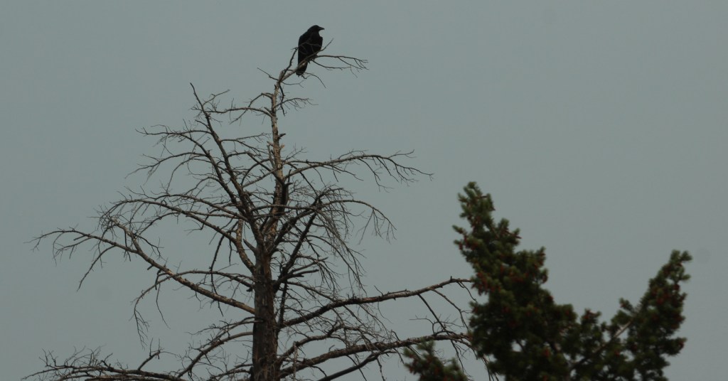
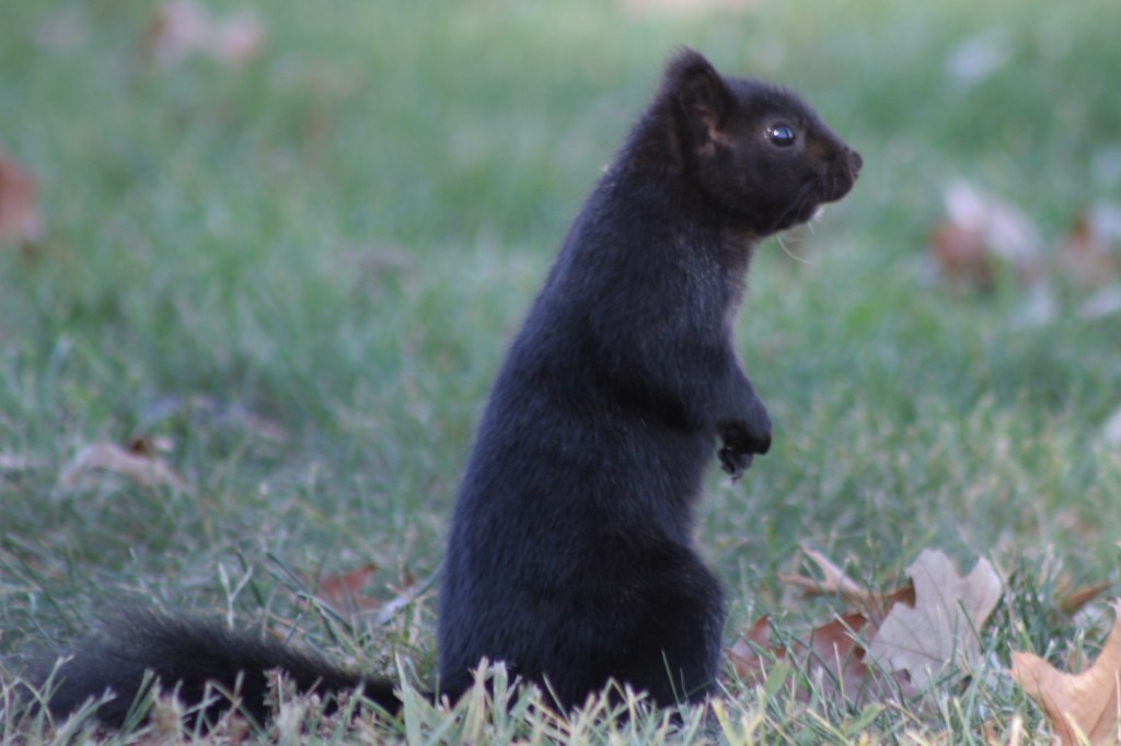
The National Forest’s lakes have largemouth bass, bluegill, catfish, and crappie that attract fishermen. The forest also provides habitat for white-tailed deer, fox squirrels, raccoons, and wild turkeys. We saw a red fox and our first indigo bunting on the North Cypress Non-Motorized Trail.
Instagram-worthy Photo
We spotted our first indigo bunting on the dam at North Cypress Lake, but did not have a zoom lens on hand.
Peak Season
Spring and fall
Fees
Chewalla Lake Recreation Area charges a day use fee of $5 per vehicle or America the Beautiful pass (half price with the Senior or Access Passes). Puskus Lake charges $3 per day and $7 for camping.
Road Conditions
The William Faulkner Memorial Highway (Highway 30) is paved and the dirt roads off it to North Cypress Lake and Puskus Lake were in good enough shape for our passenger vehicle.
Camping
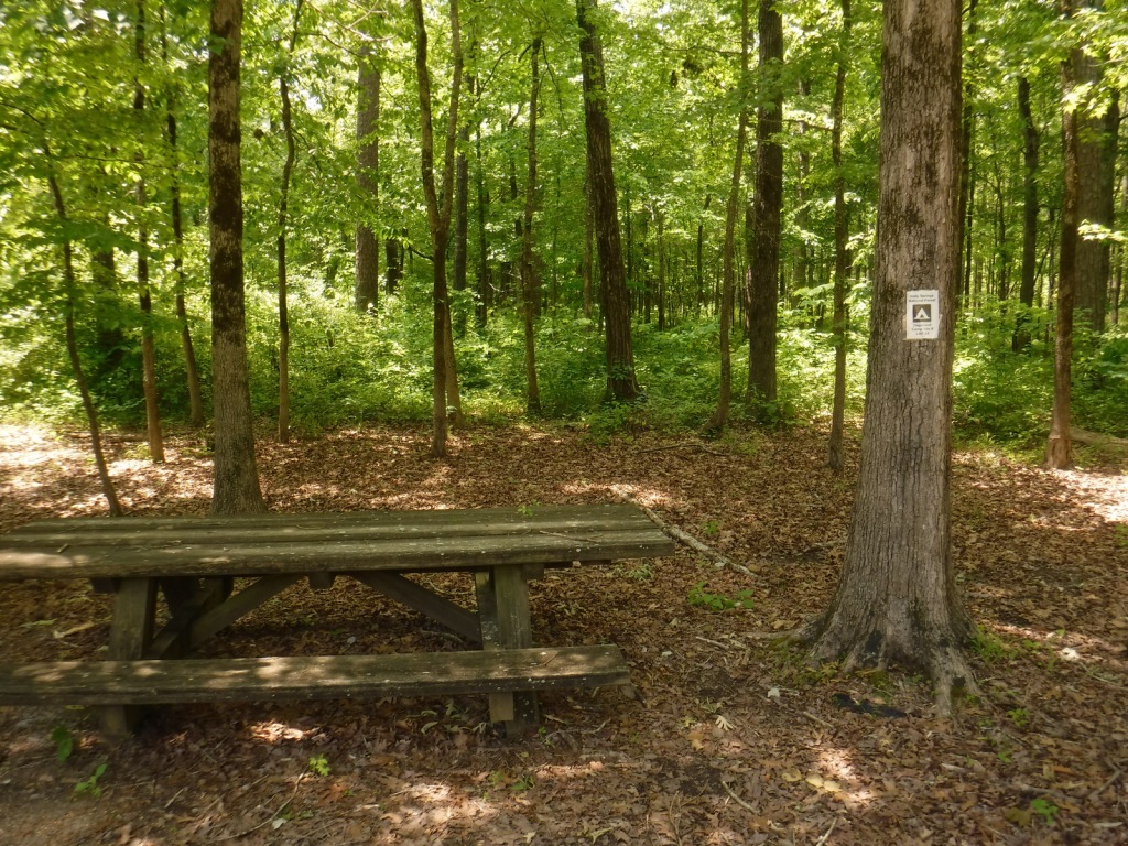
Free primitive camping is allowed at designated sites around the parking area for North Cypress Lake (see Best Trail), 0.6 miles south of Highway 30. There is large campground on the west side of Chewalla Lake, offering nine sites with hookups ($20 per night) and 27 without ($7). Free camping for only one night is allowed at Lake Tillatoba, only three miles off Interstate 55.
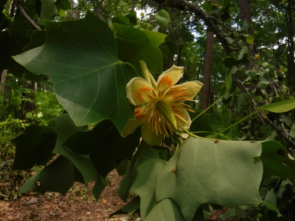
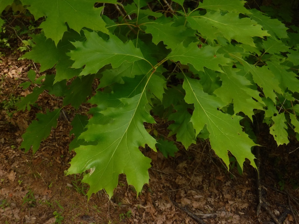
white oak, northern red oak, southern red oak, black oak, bitternut hickory, mockernut hickory, slippery elm, black cherry, flowering dogwood, redbud, tulip-poplar, black gum, basswood, hackberry, sweetgum, red maple, white ash, green ash, pumpkin ash, tupelo gum, American elm
Explore More – In 1983, which presidential administration proposed auctioning off the entirety of Holly Springs National Forest?
Learn more about this and the 154 other National Forests in our new guidebook Out in the Woods
Hiawatha National Forest is separated into two sections on the Upper Peninsula of Michigan, both of which touch Lake Superior and Lake Michigan. The East Unit also fronts Lake Huron, and includes scenic Round Island Lighthouse near Mackinac Island, as well as beautiful Point Iroquois Light Station. Most of these sandy soils in the East Unit were never homesteaded, so they were easily designated Marquette National Forest by President Theodore Roosevelt in 1909. Land purchases for the West Unit began in 1928, and were later replanted by the Civilian Conservation Corps (CCC). The West Unit includes 13,500-acre Grand Island National Recreation Area (see our blog post) in Lake Superior, a popular destination for camping, biking, and kayaking at the western edge of Pictured Rocks National Lakeshore.
Highlights
Grand Island National Recreation Area, St. Helena Island National Scenic Area, Whitefish Bay Scenic Byway, Point Iroquois Light Station, Scott Falls, Diamond Hill Lookout, Porcupine Nature Trail, Haymeadow Falls Trail, Naomikong Point Blue Trail, North Country National Scenic Trail
Must-Do Activity
Several lighthouses are located along the shores of the Great Lakes, including the picturesque Round Island Lighthouse near touristy Mackinac Island, Point Iroquois Light Station (see Instagram-worthy Photo) on the Whitefish Bay Scenic Byway, and one on private land near Wick Point within Grand Island National Recreation Area (see our blog post). Further to the west Highway M-28 follows the shores of Lake Superior, where a Wayside Park at the east side of AuTrain Bay provides parking for those wishing to carefully cross the road to see ten-foot-tall Scott Falls.
Best Trail
Foley Creek Day Use Area is located just off Interstate 75 at a large pullout along paved Mackinac Trail Road. A hike starts at the north end of a former campground, and soon the sound of the freeway is dispersed by the trees as you enter the small Horseshoe Bay Wilderness. The trail has boardwalks across the wettest spots and after 1.4 miles opens up to a secluded sandy beach on Lake Huron with views of Mackinac Island. Naomikong Point Blue Trail is a popular 3.4-mile out-and-back trail that connects with the North Country National Scenic Trail, crossing Naomikong Creek on a suspension bridge then ending at Menekaunee Point on Naomikong Island.
Watchable Wildlife
These forests are home to gray wolves, black bears, bobcats, Canada lynx, mountain lions, red foxes, coyotes, striped skunks, weasels, minks, river otters, porcupines, beavers, muskrats, snowshoe hares, white-tailed deer, and moose. Large birds found here include wild turkeys, spruce grouse, ruffed grouse, golden eagles, bald eagles, ospreys, great blue herons, sandhill cranes, and trumpeter swans. Hiawatha National Forest has more than 100 miles of shoreline on three Great Lakes, offering fishing for walleye, northern pike, muskies, Atlantic salmon, and steelhead trout. In addition, there are 75 inland lakes and 600 miles of streams, including five National Wild and Scenic Rivers: Carp River, Indian River, Sturgeon River, Tahquamenon River (East Branch), and Whitefish River. The 0.9-mile Haymeadow Falls Trail loop partially follows a productive trout stream.
Instagram-worthy Photo
Located on the Whitefish Bay Scenic Byway, the iconic 65-foot Point Iroquois Light Station stands on the shores of Lake Superior at the mouth of St. Mary’s River. The first lighthouse and residence were built here in 1855, and the current buildings were placed on the National Register of Historic Places in 1975. When not under construction, you can pay to enter the museum and climb the spiral staircase to the top of the tower.
Peak Season
Summer
Fees
None
Road Conditions
Whitefish Bay Scenic Byway is fully paved, and we found the unpaved roads to Hovey Lake Campground to be in good enough shape for our passenger vehicle.
Camping
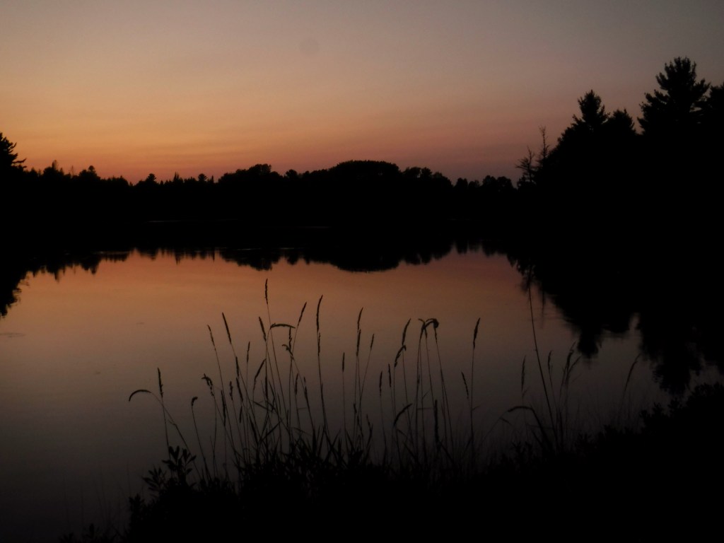
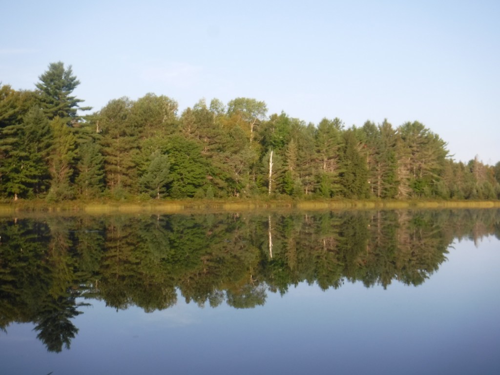
We spent an enjoyable night at the free Hovey Lake Campground and awoke to find a pair of trumpeter swans on the water. Hiawatha National Forest has many other campgrounds, including two near the Mackinaw Toll Bridge: Lake Michigan (35 campsites) and Carp River (44 sites). Near the town of Brimley on Lake Superior, Bay View (24 sites) and Monocle Lake (39 sites) Campgrounds are also popular.
Hovey LakeTrumpeter swansHovey LakeScott behind Scott FallsPoint Iroquois Light StationPoint Iroquois Light StationLake SuperiorPoint Iroquois Light StationHorseshoe Bay WildernessHorseshoe Bay WildernessLake HuronMackinaw Toll BridgeLake MichiganRound Island Lighthouse from Mackinac IslandMackinac Island in distanceLake Huron
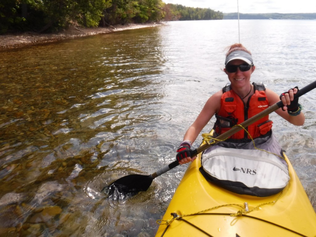
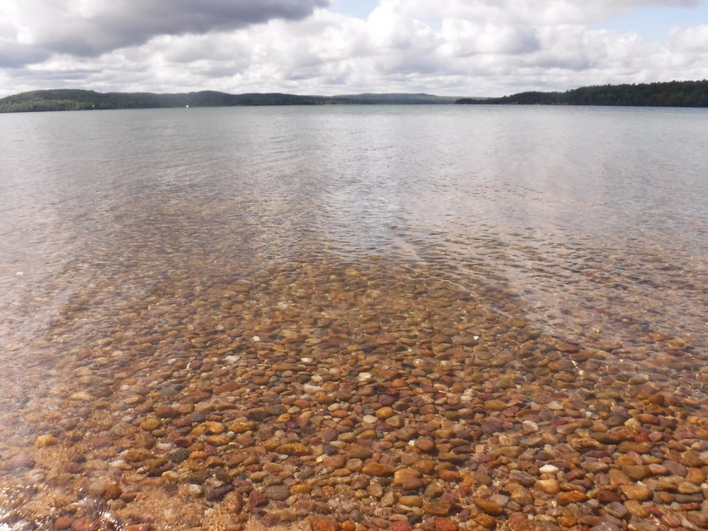
The turquoise color of Lake Superior beneath the sandstone cliffs of Grand Island National Recreation Area makes it seem warmer than it actually is. Glaciers carved this island’s shoreline thousands of years ago and the Ice Age never seems far off in the lake’s cold waters. Managed by Hiawatha National Forest, the most popular activities here are commercial boat tours, backpacking, and mountain biking the 20-mile loop around the island. Paddling a sea kayak can be an unforgettable experience and guides can provide the necessary gear. Most of the northern two-thirds of Grand Island is surrounded by cliffs with nowhere to land a boat, so be careful as large waves can become hazardous on Lake Superior.
Highlights
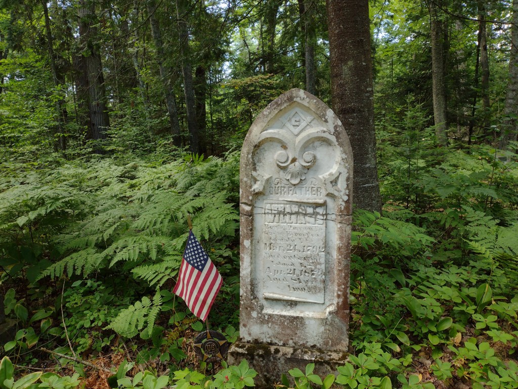
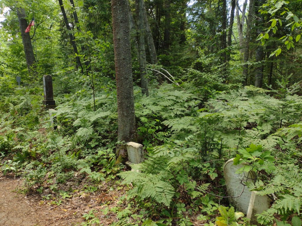
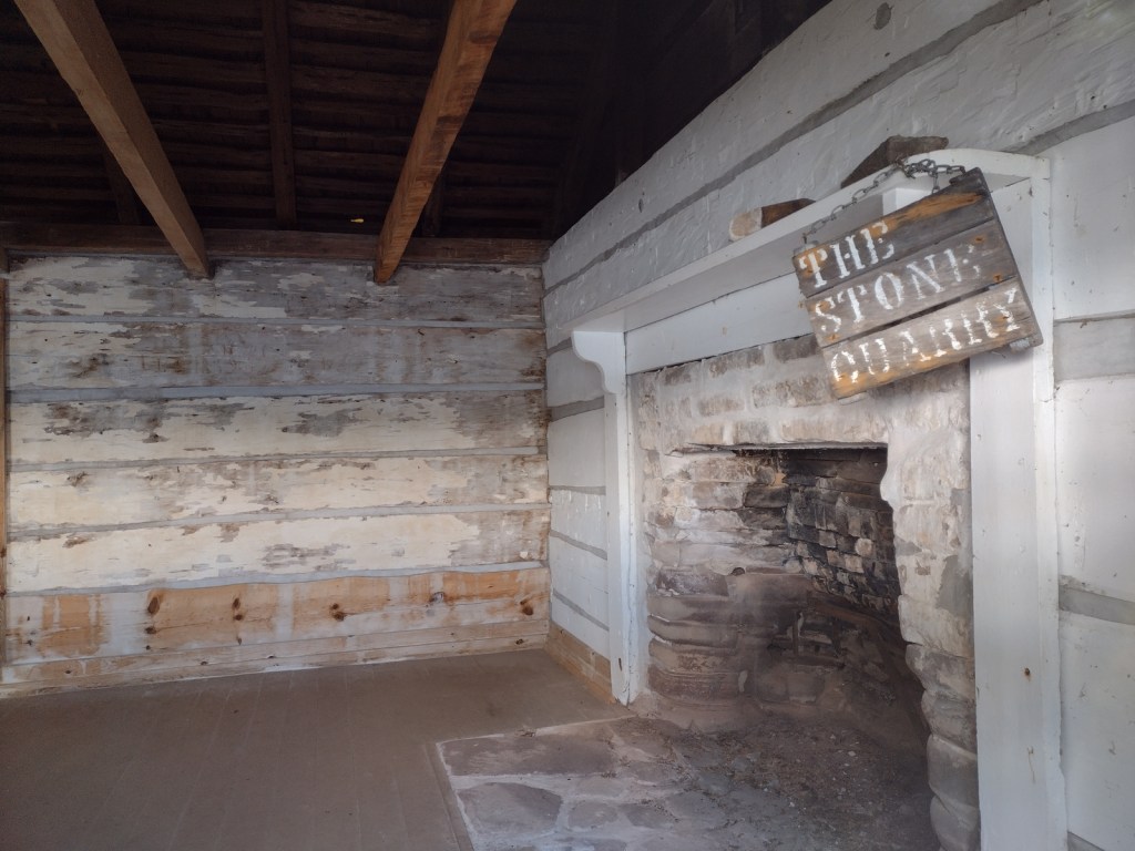
East Channel Lighthouse, 1870 wreck of the Bermuda, Williams-Powell Cemetery, Stone Quarry Cabin, Waterfall Beach Overlook, Merchandise Beach, Echo Lake
Must-Do Activity
After a night spent at the free Hovey Lake Campground in Hiawatha National Forest, we kayaked to Grand Island from the ferry dock west of Munising to see East Channel Lighthouse and the 1870 wreck of the Bermuda from the water. We then landed our boat on the sandy beach at Murray Bay Group Site to walk to Williams-Powell Cemetery and Stone Quarry Cabin. You can pick up a guided boat tour from the docks in Munising that makes a long explanatory stop over the Bermuda or take the ferry to the island with your mountain bike for exploring. Make sure to visit the free Pictured Rocks Interpretive Center in downtown Munising for informational displays provided by the U.S. Forest Service.
Best Trail
There is a 20-mile-long bike trail that circles Grand Island, with some inland trails (like the one to Echo Lake) and a few open only to hikers. The non-motorized trails are closed to eBikes.
Instagram-worthy Photo
East Channel Lighthouse is situated on private land near Wick Point, so no landing is allowed onshore there.
Peak Season
Summer
Fees
A day use fee of $5 per person, per trip applies if you land on the island. Ferry rides cost $23 per person and camping fees also apply ($8 to $10 per night).
Road Conditions
Bike trails around the southern part of Grand Island are roads also used by tour vans, so watch out for traffic.
Camping
There are many campsites on the island, including a few protected in Murray Bay about two miles from the Williams Landing ferry dock. Reservations are required for camping except at Flat Rock, Cobble Cove, and Muskrat Point, which offer first-come, first-served campsites all in the southeast corner of Grand Island.
Wreck of the BermudaWreck of the BermudaWilliams-Powell CemeteryWilliams-Powell CemeteryWilliams-Powell CemeteryStone Quarry CabinStone Quarry CabinStone Quarry CabinStone Quarry Cabin
Explore More – Given the common names of northern white-cedar or eastern arborvitae, why is Thuja occidentalis known as the “tree-of-life”?
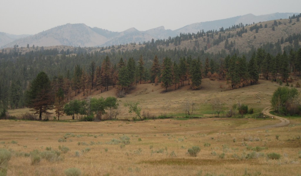
Helena National Forest surrounds Montana’s capital city of Helena, encompassing several mountain ranges. The Big Belt Mountains were the site of the of the 1949 Mann Gulch Fire, which killed 13 smokejumpers who were immortalized in Norman Maclean’s classic book Young Men and Fire (see our Top 10 Non-Fiction Books on National Forests). There is a Mann Gulch Memorial located in Meriwether Campground. Much of the National Forest is grassland and sagebrush, with conifer trees dominating the canyons and mountain slopes. In the winter, snowmobiling, snowshoeing, and cross-country skiing are popular pastimes.
Highlights
Gates of the Mountains, Mann Gulch Memorial, Lewis and Clark National Historic Trail Interpretive Center, Gypsy Lake, Crow Creek Falls, Elkhorn Mountains, Blackfoot Canyon, Red Mountain, Refrigerator Canyon, Hanging Valley National Recreation Trail, Meriwether Canyon Trail
Must-Do Activity
Meriwether Lewis named the Gates of the Mountains on July 19, 1805, and today a two-hour jet boat tour on the Missouri River details the history of the Corps of Discovery, American Indian pictographs, the Mann Gulch Fire, and the collapse of Hauser Dam. North of Helena on Interstate 15 in Great Falls is the Lewis and Clark National Historic Trail Interpretive Center, which is run by the U.S. Forest Service.
Best Trail
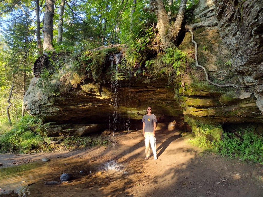
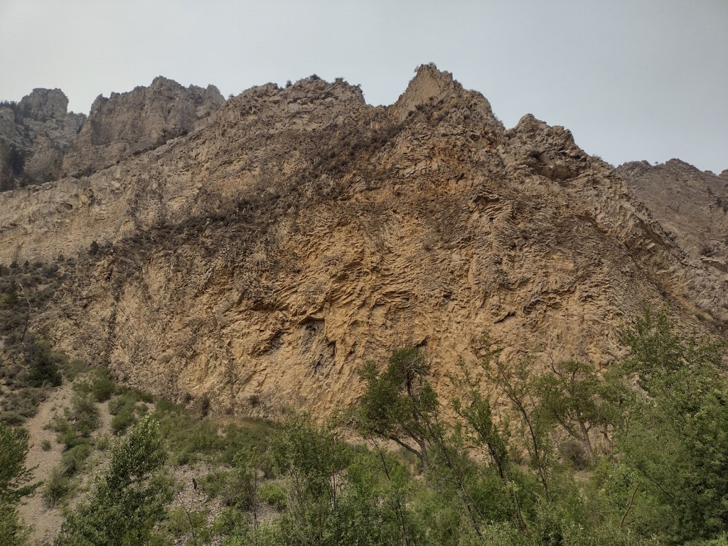
Refrigerator Canyon is less than ten feet wide at its narrowest point, where towering 200-foot limestone cliffs keep it cool and breezy throughout the summer. The trailhead is accessed by driving 12 miles of washboard road that turns left off paved York Road just after crossing near the dam that forms Hauser Lake on the Missouri River. It is a short quarter-mile hike to reach the canyon’s pinch point that was full of rock climbers during our visit. The route then gets steeper, gaining 1,100 feet in two miles and providing excellent mountain views. The trail eventually levels out and continues for another seven miles past Bear Prairie in the Gates of the Mountains Wilderness. It can be connected to the Meriwether Canyon Trail, which dead ends at the Missouri River 18 miles from the Refrigerator Canyon Trailhead.
Watchable Wildlife
Grizzly bears can be found in the Scapegoat Wilderness in the northwest part of Helena National Forest where it borders Lewis and Clark National Forest (considered part of the massive Bob Marshall Wilderness complex connecting to Glacier National Park). Other predators include black bears, gray wolves, wolverines, ermine, mountain lions, bobcats, and Canada lynx. River otters and beavers can be found on the Missouri River. Grazing ungulates commonly seen are elk, moose, mule deer, and pronghorn, in addition to bighorn sheep and mountain goats at higher elevations. Trout streams and lakes provide fishing opportunities for humans, as well as bald eagles and ospreys.
Instagram-worthy Photo
You might see rock climbers blocking narrow Refrigerator Canyon, but be sure to continue through on the steep trail for beautiful views of the Gates of the Mountains Wilderness.
Peak Season
Summer
Fees
None
Road Conditions
The washboard road back to Refrigerator Canyon was in good enough shape for our passenger vehicle.
Camping
A Mann Gulch Memorial is located in Meriwether Campground, plus there are numerous other campgrounds and dispersed campsites located throughout the National Forest’s network of unpaved roads.
Wilderness Areas
Gates of the Mountains Wilderness
Scapegoat Wilderness (also in Lewis and Clark National Forest)
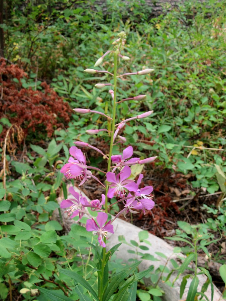
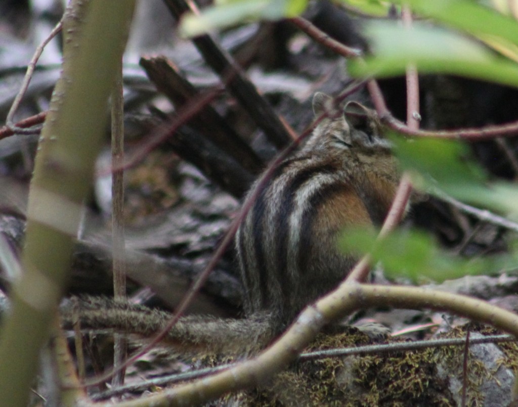
Scott in “The Refigerator”Beard lichenFireweedScott in Refrigerator CanyonLooking upChipmunkSyringa bloomsClaim to fameHauser DamReservoir on the Missouri RiverRaven about the forest
Best time of year: Fall for apple picking, football games, OZtoberFest, and fall foliage
We recently published our guidebook 50 States of Great: Road Trip Guide to America, so we decided to start a new type of blog post where we create a travel itinerary for all 50 states, in addition to our usual National Forest and National Park entries. We are starting with Kansas, an often-overlooked travel destination where we have had a lot of fun on multiple visits dating back to 2007. We made a seven-day plan starting in the southwest corner of the state, with plenty of options to extend the trip.
The state’s largest parcel of public land at 108,175 acres contains Middle Springs, Cottonwood Picnic Area (with the 10.5-mile Turkey Trail), and Point of Rocks, an important landmark on the Santa Fe Trail and third highest point in Kansas. In the spring, birdwatchers gather at two viewing blinds to watch the elaborate mating rituals of lesser prairie-chickens, one of the more than 360 bird species identified here.
Liberal
Dorothy’s House landed here after it was swept up in the tornado to the Land of Oz, located next to the free Seward County Coronado Museum. While visiting, you can pose with your favorite character from L. Frank Baum’s allegory along a yellow brick walkway.
Optional stop at Dalton Gang Hideout Museum
Walk the 95-foot-long escape tunnel built by the notorious outlaw family beneath their farmhouse to evade law enforcement.
Completed in 1888, it is the world’s largest hand dug well at 109 feet deep (and 32 feet in diameter) to access the massive Ogallala Aquifer. On May 4, 2007, the town of Greensburg was devastated by a powerful tornado, but the resilient population rebuilt around the historic well.
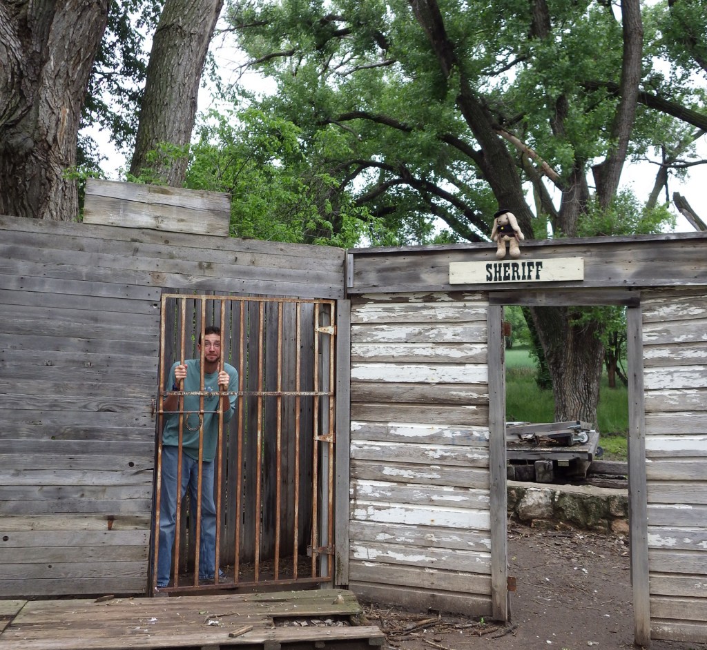
This bloody frontier town earned the moniker “Wickedest Little City in America.” Even though the buildings on Front Street are mostly reproductions, there remains an authentic Wild West vibe in the air as you walk past artifacts from the 1800s. If you plan to spend the night after your visit to the Boot Hill Museum, consider paying extra for the brisket dinner and nightly variety show (in the summer) at the Long Branch Saloon.
Optional stop at Dodge City Zoo
Across the railroad tracks from the Boot Hill Museum, the Dodge City Zoo in Wright Park offers free admission to see a multitude of mammals and birds.
The fort was only active from 1860 to 1878, but after becoming private property it continued to function as a working ranch which explains why it is in such good shape today. Costumed re-enactors are really what make this site special, from the blacksmith to the schoolteacher to the commissar to the officers’ wives.
A 14-mile auto route and hiking trails to observation blinds offer great opportunities to see a variety of birds and mammals in this wetland south of the great bend of the Arkansas River.
Roadside attractions in central Kansas include the Geographic Center of the 48 contiguous states and the hilltop tower at Coronado Heights Park near historic Lindsborg. There is also a small herd of bison in 1,818-acre Big Basin Prairie Preserve. At Mushroom Rock State Park, interesting sandstone concretions held together by calcium carbonate have withstood the erosion that washed away the surrounding bedrock over time.
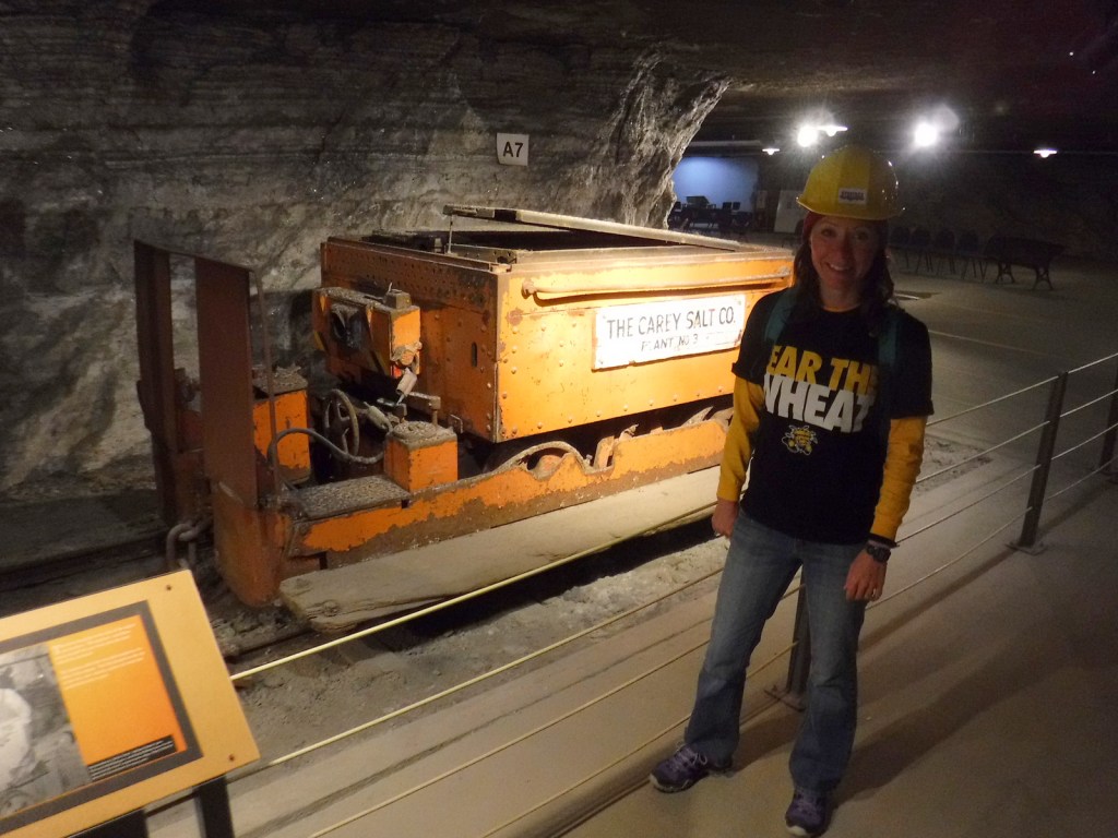
Strataca takes visitors in an elevator 650 feet down through the Equus Beds Aquifer into an underground salt mine with 67 miles of tunnels. A tram tour (hardhat provided) is part of the admission price, as is the opportunity to take home a big chunk of salt.
Cosmosphere International SciEd Center and Space Museum contains the largest collection of space artifacts outside the Smithsonian’s National Air and Space Museum in Washington, D.C.
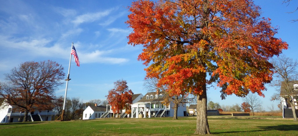
The maple trees were changing colors during our November visit to Fort Scott National Historic Site, their vibrant leaves in sharp contrast to the fort’s white buildings.
There are many miles of trails that wander through the 10,894-acre preserve that is jointly run by the Nature Conservancy and National Park Service. A reintroduced bison herd roams these hills, where you can visit the historic Spring Hill Ranch and the one-room Lower Fox Creek School, which was open from 1884 to 1930.
In downtown Topeka, you can tour the former African-American-only Monroe Elementary School, restored to its 1950s appearance with some classrooms turned into exhibits on the civil rights movement worldwide.
Optional stop at Kansas University in Lawrence
Come for a college football or basketball game and stay to see the original rules for basketball written by Dr. James Naismith, the free Spencer Museum of Art, the historic Natural History Museum, and numerous Jayhawk statues across campus.
Like Liberal on the other side of the state, Wamego also has a Wizard of Oz-themed part of town and holds the annual OZtoberFest in October.
Optional stop at Kansas State University in Manhattan
Sample some Purple Pride and Apple Dapple ice cream at Call Hall Dairy Bar, then visit the free Beach Museum of Art and the American Museum of Baking inside Emerson Library that displays a sample of Egyptian bread dating back 3,800 years (insert fruit cake joke here). Kansas State University Gardens is a great stop regardless of the season given its fountains and Insect Zoo with a modest $3 entry fee.
Day 7
Ft. Leavenworth
Check in and get your day pass from the military visitor center before driving onto the army base to visit the Buffalo Soldiers Memorial and Frontier Army Museum at Fort Leavenworth.
An Oregon Trail town founded in 1855 that still has its old Pony Express Station located downtown near the beautiful 1891 Marshall County Courthouse. It is also home to a population of black squirrels that are reportedly escapees from a traveling circus.
Founded in 1877 by former slaves from Kentucky freed after the Civil War, this historic town is representative of the African-American population boom in Kansas that jumped from only 627 to 43,107 between 1860 and 1880.
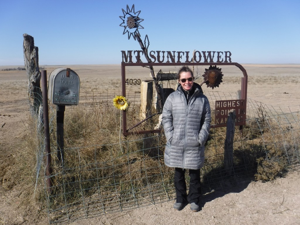
Mt. Sunflower
You can drive to the top of Kansas, a small hill near the western border with Colorado.
Buffalo Bill bronze sculpture in Oakley
An impressive 9,000-pound bronze statue stands outside a Cultural Center highlighting Buffalo Bill’s fascinating life. Also worthwhile is the Fick Fossil and History Museum.
Monument Rocks
A dirt road detour south of Interstate 70 takes travelers to Monument Rocks, the first National Natural Landmark designated by the U.S. Department of the Interior in 1968. The 70-foot-tall chalk formations are chock full of fossils formed 80-million years ago during the Cretaceous Period. The white monoliths really light up at sunset and sunrise, but since they are on private property no camping is allowed at the site.