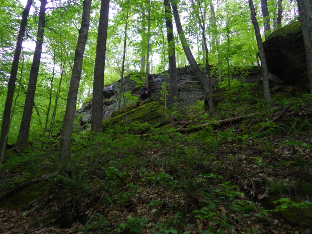
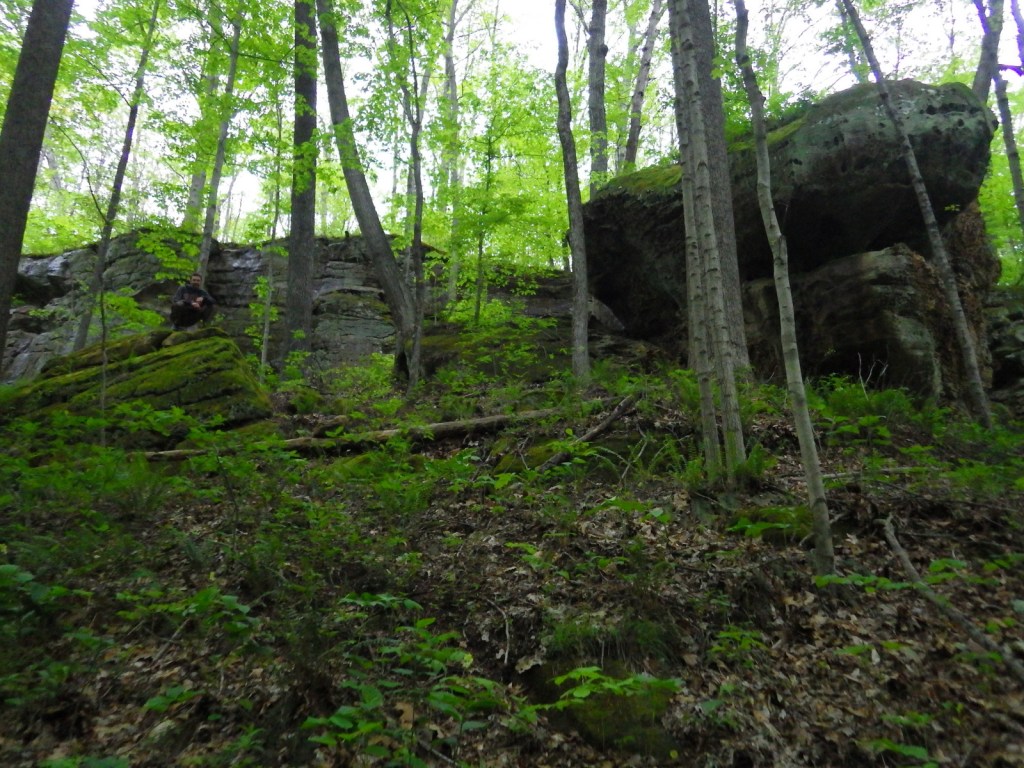
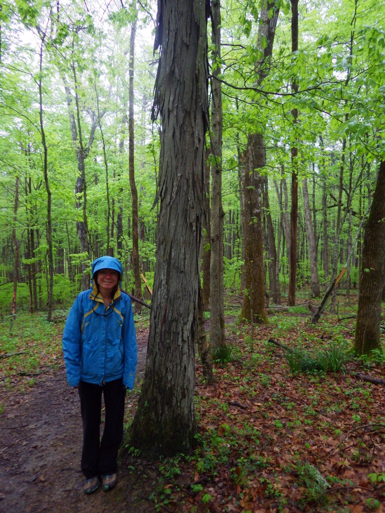
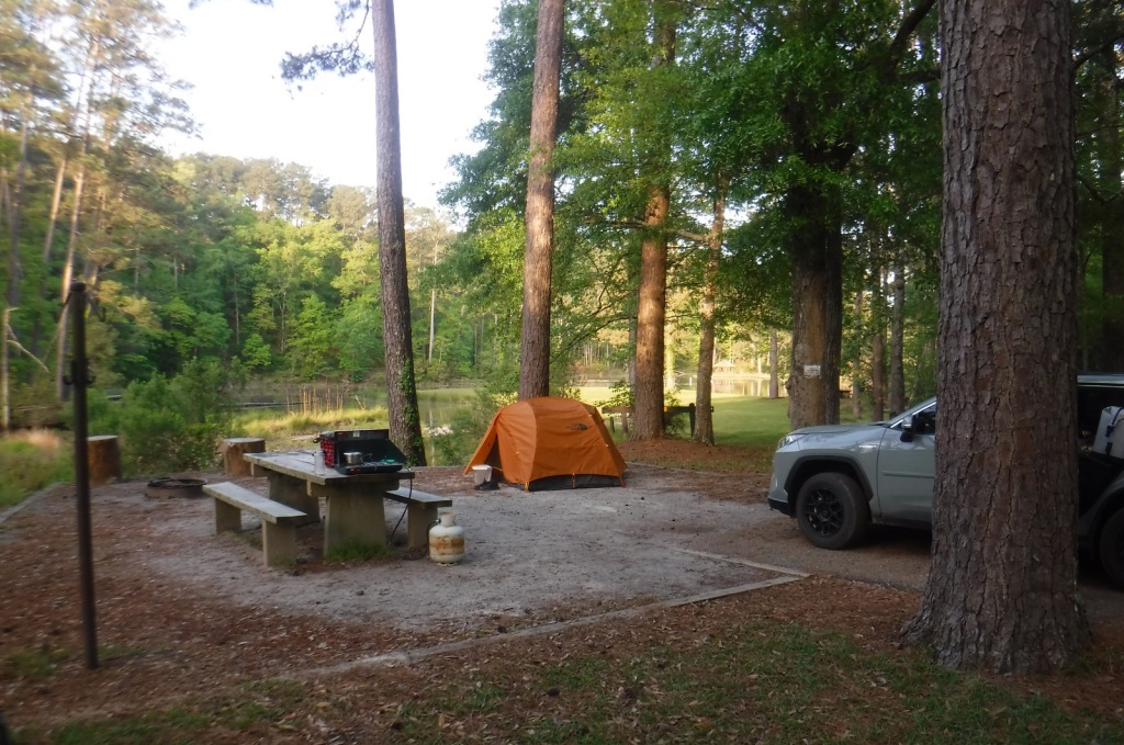
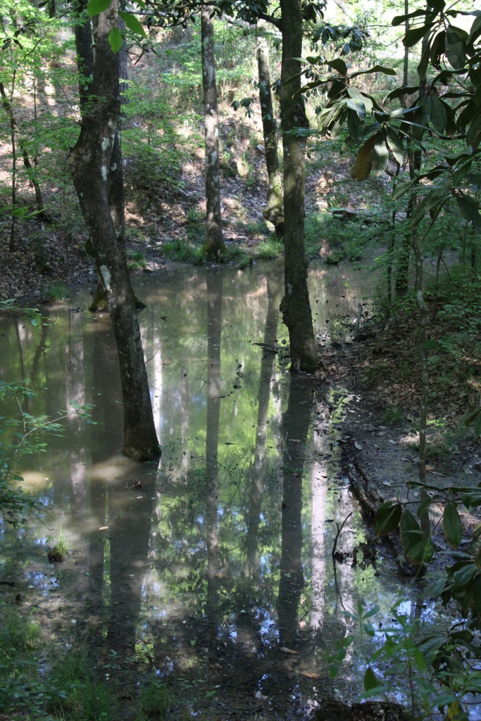
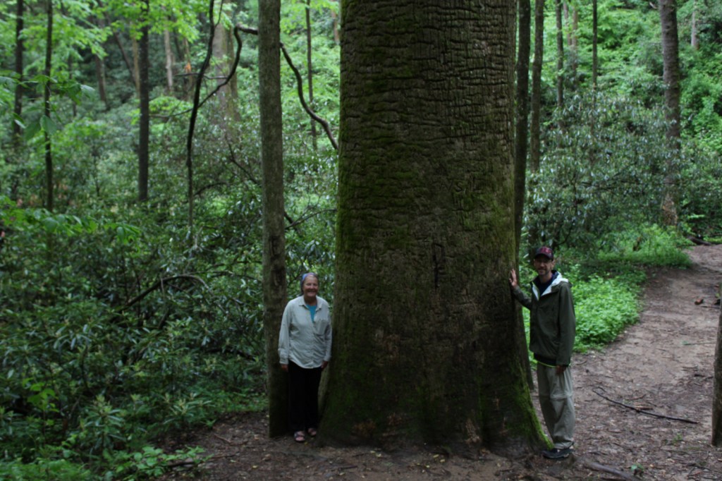
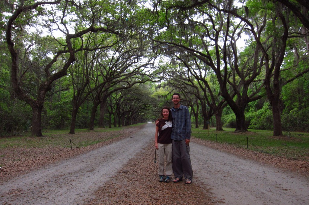
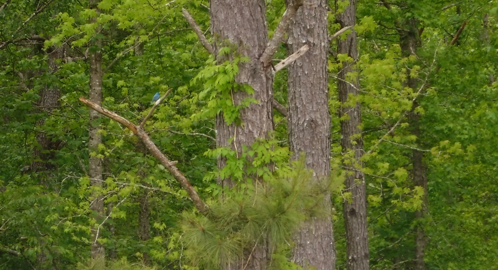
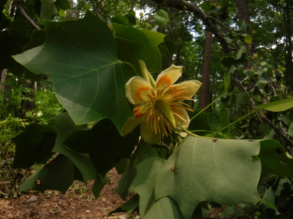
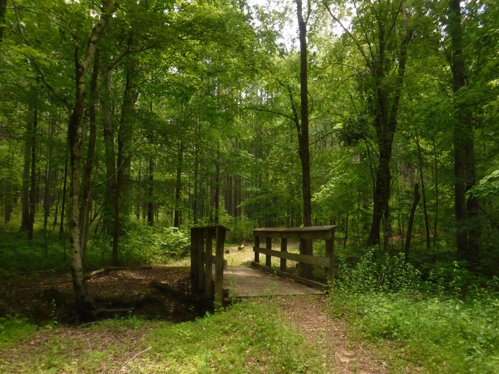
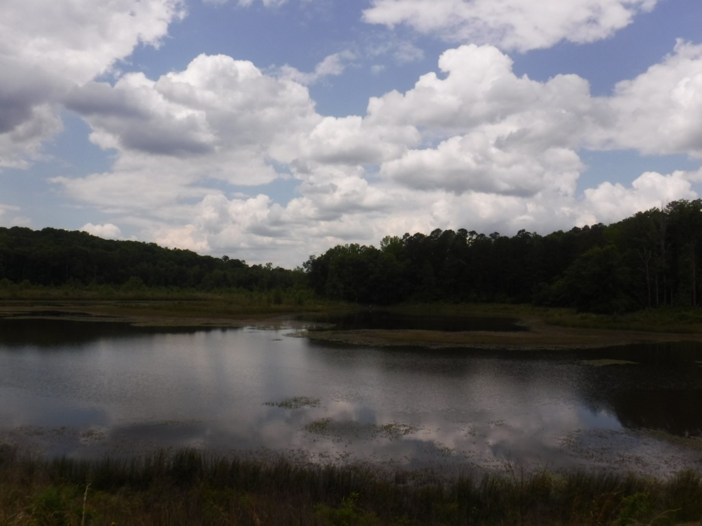
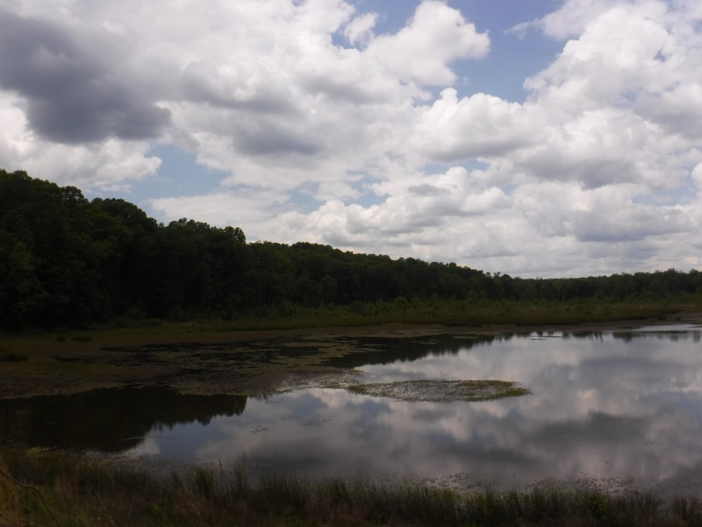
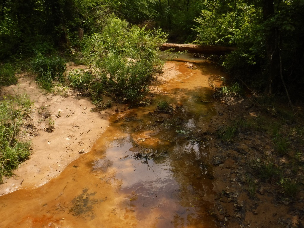
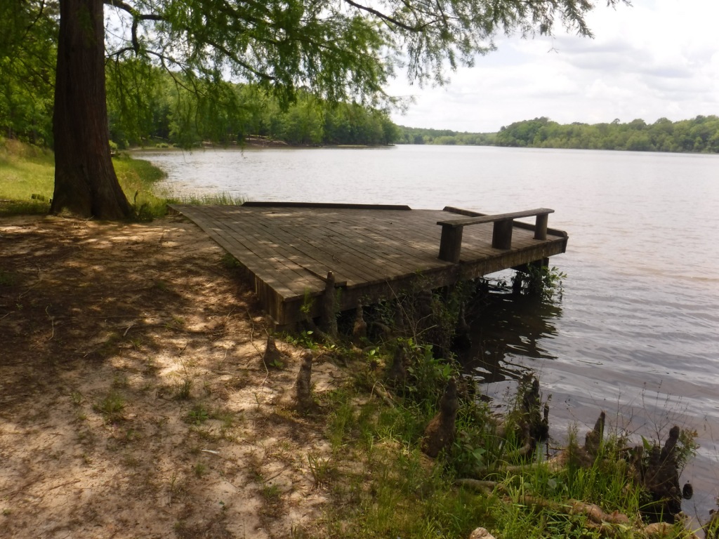
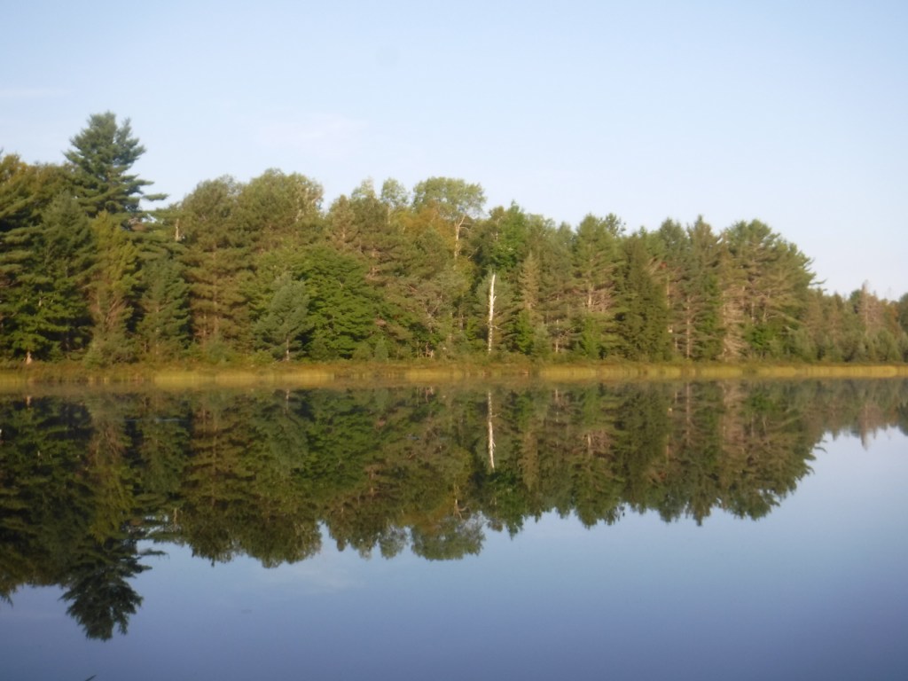
Southern Indiana’s Hoosier National Forest was created in 1935 from cutover and abandoned farm land. Six years later an additional 88 acres of old-growth forest was purchased that became Pioneer Mothers Memorial Forest, which has never been cut and is used to study natural succession. A 0.8-mile trail runs through the woods and accesses the Indiana Pioneer Mothers Memorial and Lick Creek Settlement Site. The latter was a community of free African-Americans led by the Quaker Jonathan Lindley from 1819 to 1865, and located nearby is an archaeological site where there was a stockaded village in the 1300s.
Highlights
Pioneer Mothers Memorial Forest, Monroe Lake, Hickory Ridge Lookout Tower, German Ridge Lake, Lick Creek Settlement Site, Sundance Lake, Potts Creek Rockshelter Archeological Site, Lake Tarzian, Rickenbaugh House, Tipsaw Lake, Buzzard Roost Overlook, Clover Lick Barrens, Hardin Ridge Recreation Area, Birdseye Trail, Hemlock Cliffs Trail
Must-Do Activity
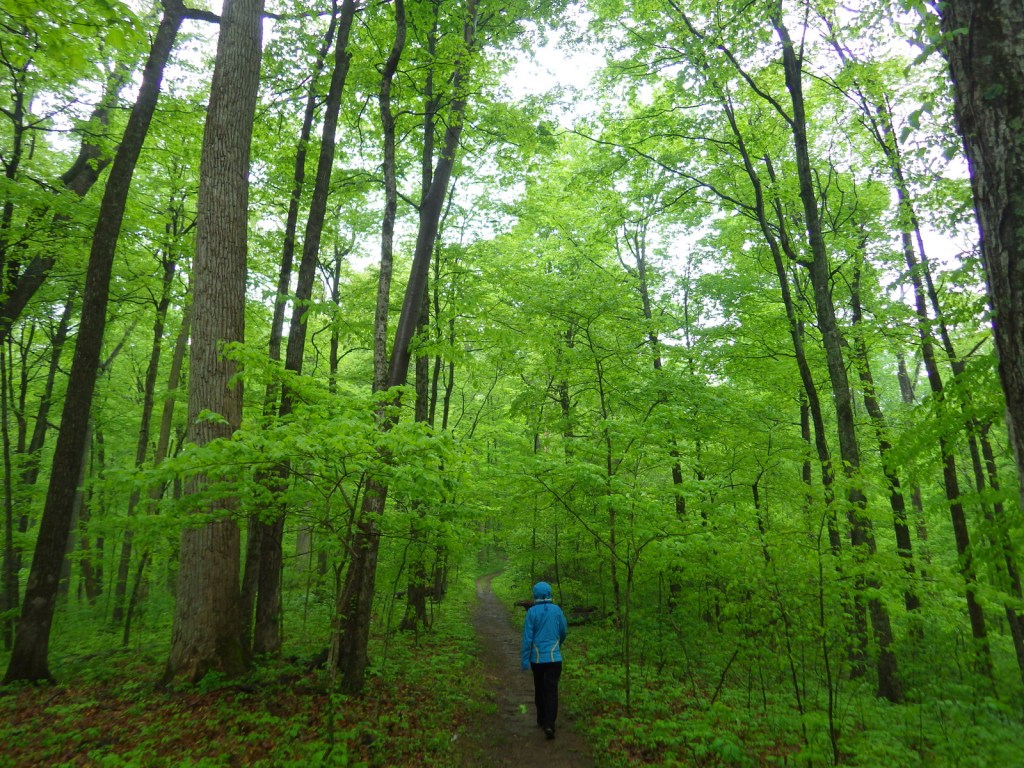
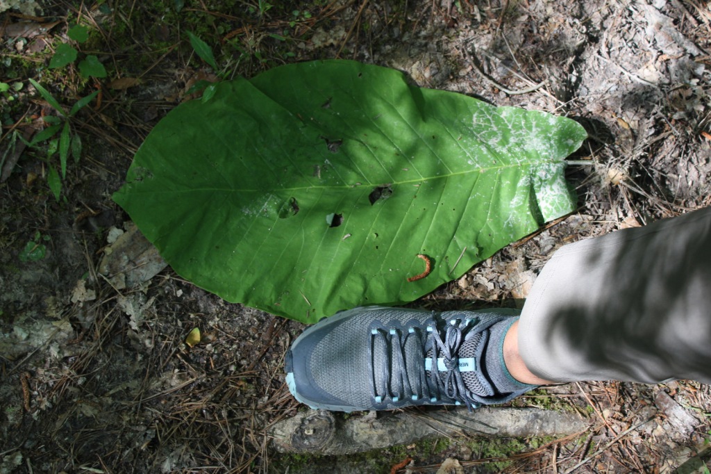
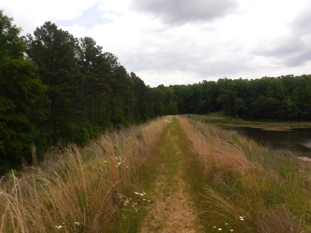
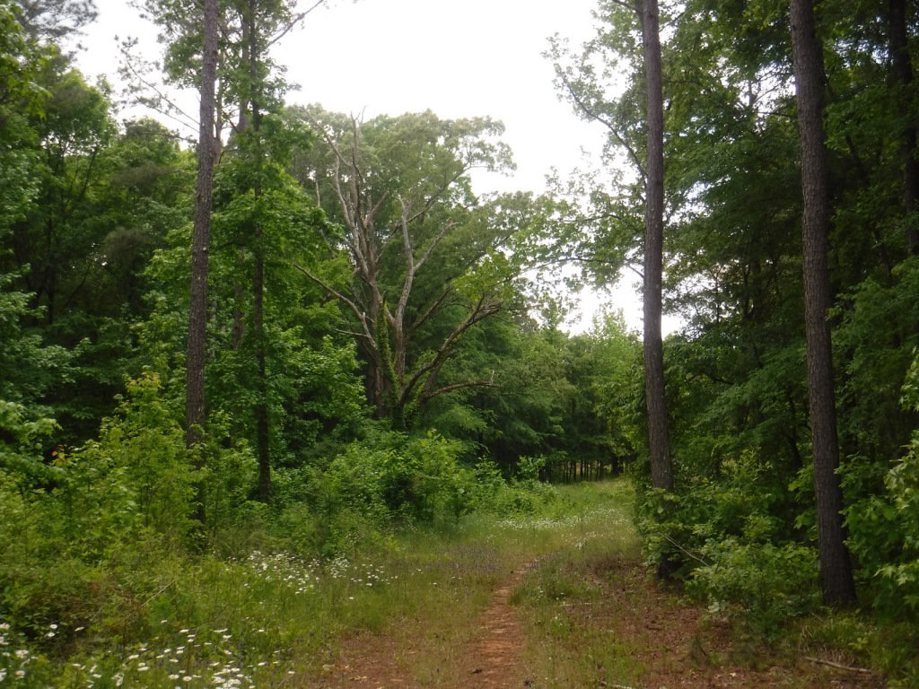
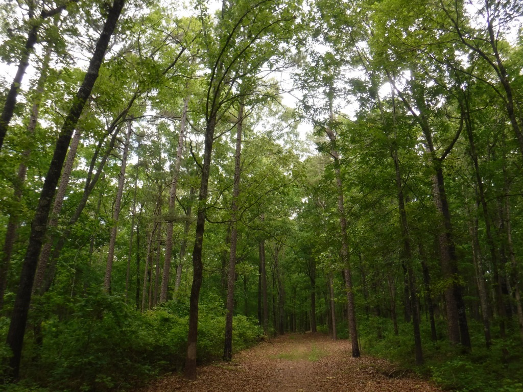
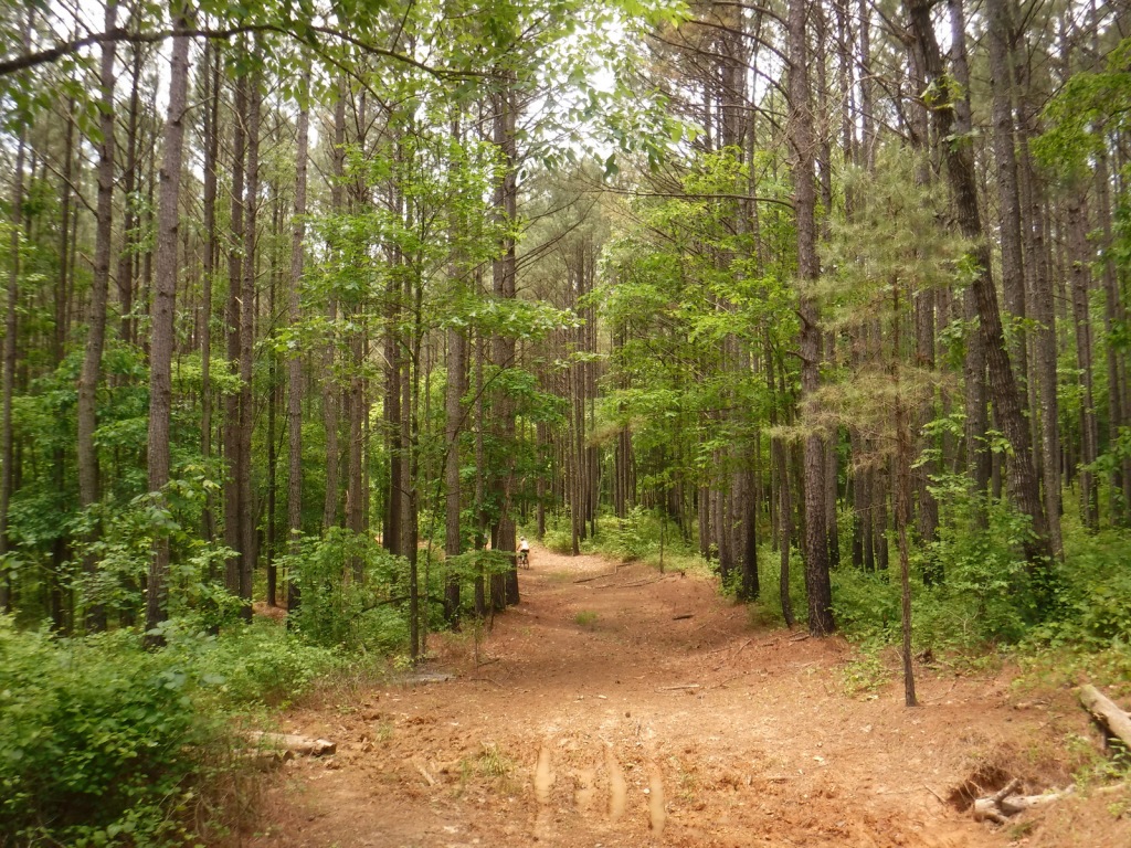
There are 266 miles of trails in Hoosier National Forest, including the 36.3-mile Terrill Ridge Trail that enters the Charles C. Deam Wilderness (Indiana’s one and only) and the 24.1 miles of trails around German Ridge Lake. Horse camps provide access to miles of bridle trails, including the 48.7-mile Hickory Ridge Trail. Many of the National Forest’s trails are old roads (even in the Wilderness), so while hiking watch for evidence of house foundations, fences, domestic plants, and cemeteries.
Best Trail
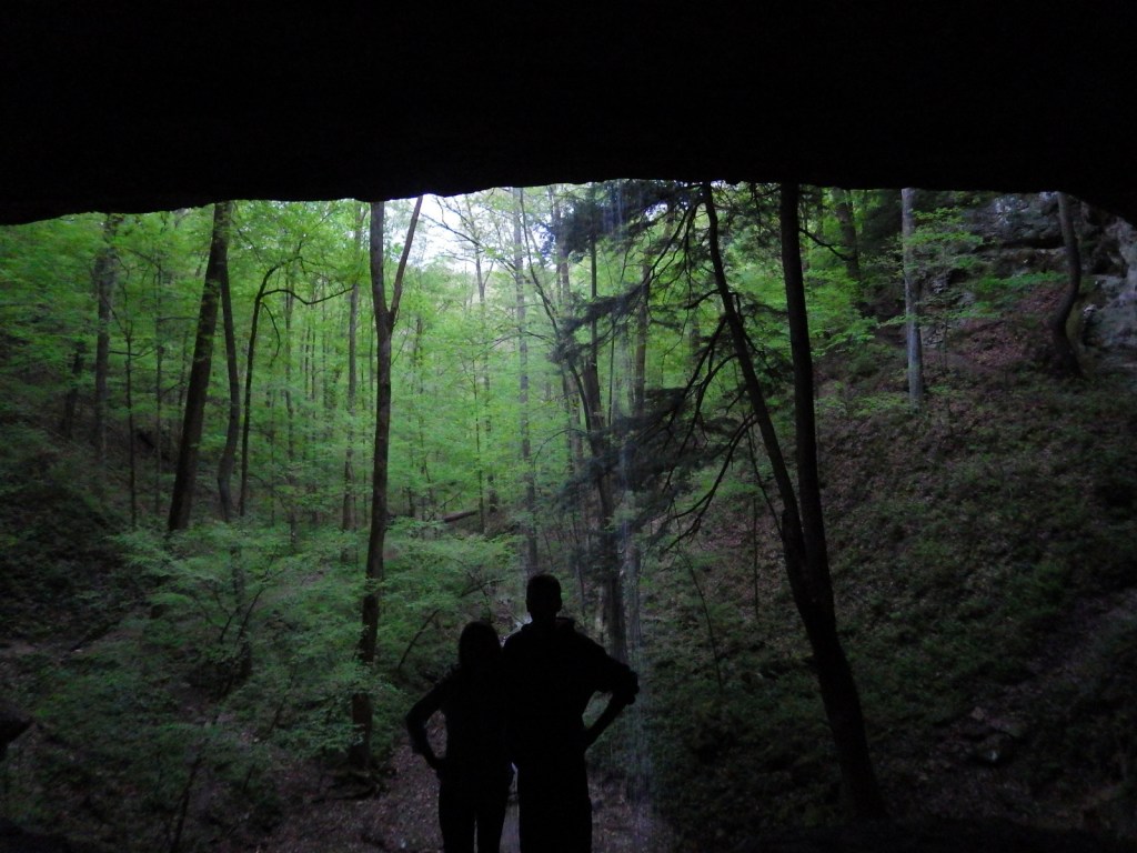
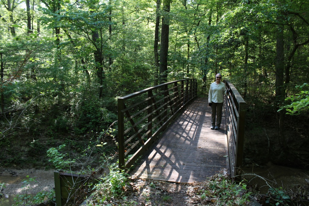
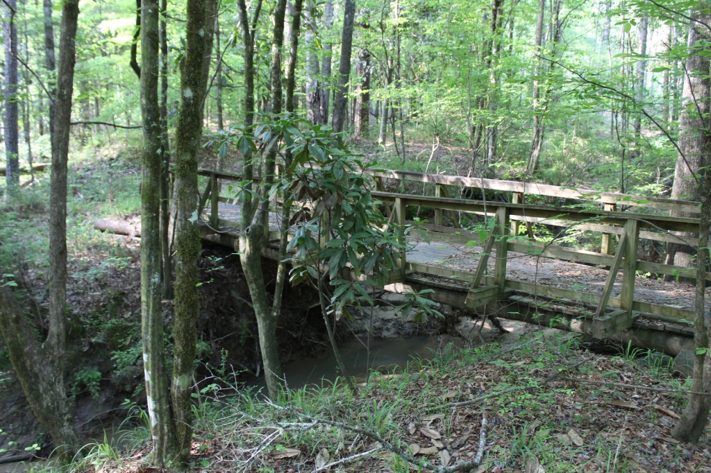
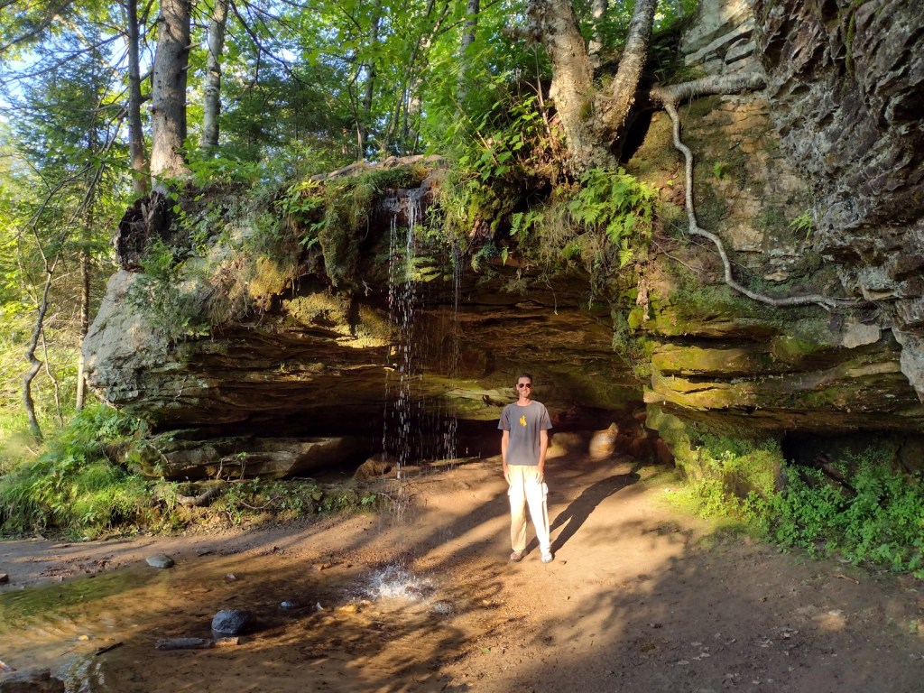
Hemlock Cliffs Trail is a 1.2-mile loop through a sandstone canyon that passes two unique waterfalls. Tall eastern hemlock trees surround both waterfalls that you can walk behind where the cliffs are undercut by erosion in this crumbly sedimentary rock. The falls only flow seasonally, but when they do the trail is often muddy and slippery, so take caution.
Watchable Wildlife
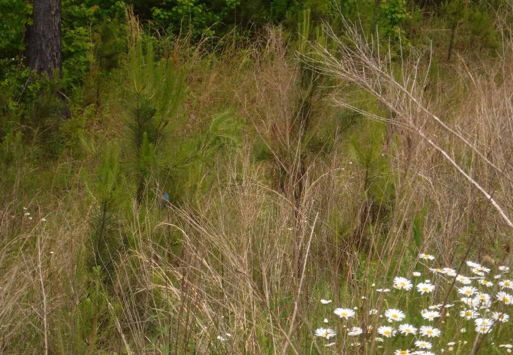
In 1972, wild turkeys were reintroduced to 6,000 acres around Clover Lick Barrens, an area of prairie vegetation. Other birds of interest include red-shouldered hawks, sharp-shinned hawks, scarlet tanagers, and pileated woodpeckers. Timber rattlesnakes and copperheads are two venomous snake species found here. Mammals include fox squirrels, raccoons, and white-tailed deer, which attract hunters in season.
Instagram-worthy Photo
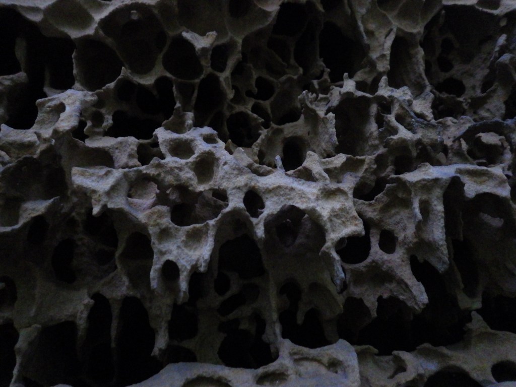
Southern Indiana is known for its Karst topography, which often forms limestone caves, as well as some beautiful Swiss-cheese formations that can be seen along the Hemlock Cliffs Trail.
Peak Season
Summer
Fees
None
Road Conditions
Road access is paved to the pullout for the Pioneer Mothers Memorial Forest, and the unpaved road to Hemlock Cliffs Trailhead was a good enough for our mini-van.
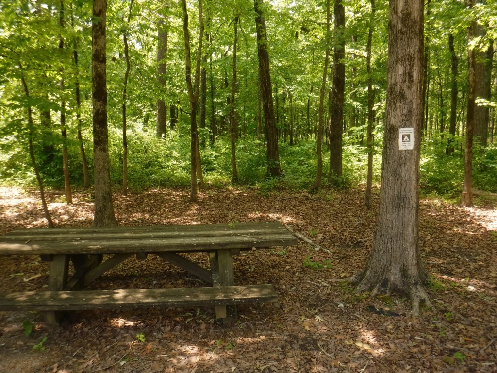
Camping
There are horse camps at Shirley Creek, Blackwell, Hickory Ridge, and Youngs Creek, in addition to other campgrounds dispersed throughout Hoosier National Forest.
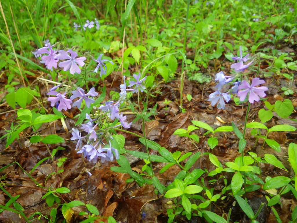
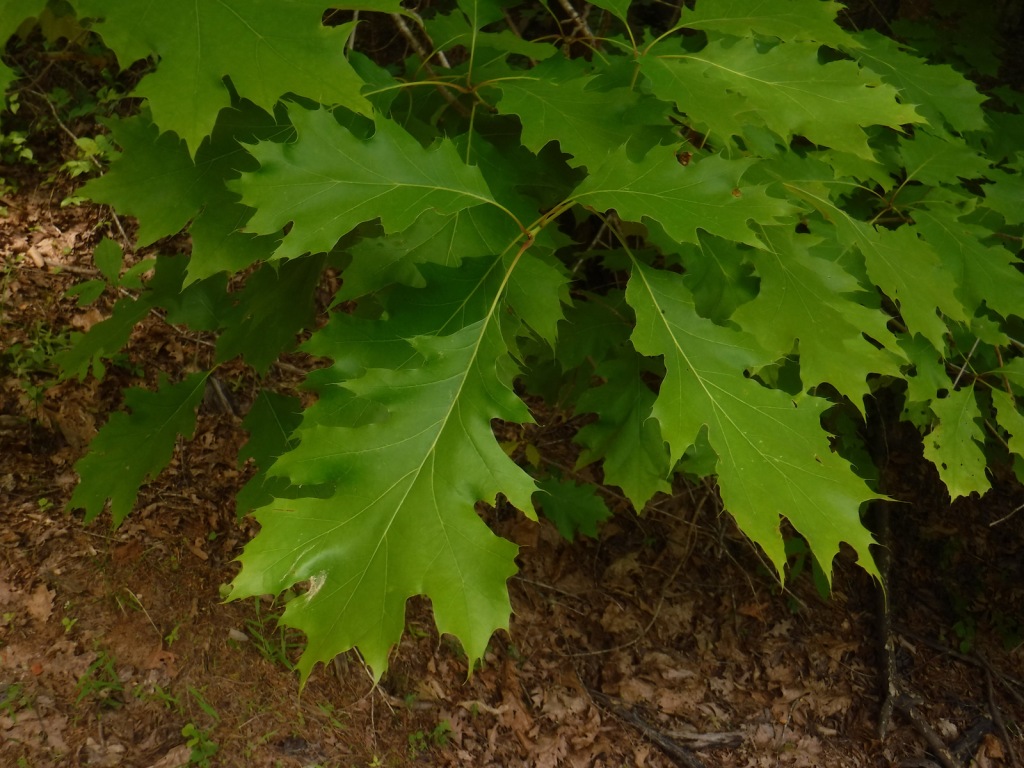
American beech, tulip-poplar, basswood, Ohio buckeye, white ash, green ash, American elm, winged elm, black walnut, white oak, northern red oak, black oak, chinquapin oak, rock chestnut oak, post oak, blackjack oak, sugar maple, red maple, ironwood, sassafras, black cherry, black gum, black walnut, honeylocust, Kentucky coffeetree, flowering dogwood, redbud, basswood, sycamore, mockernut hickory, shagbark hickory, pawpaw, slippery elm, butternut, hophornbeam, sweetgum, mountain laurel
Explore More – Who was Charles C. Deam, the namesake for the only Wilderness in Indiana (designated in 1982)?
Learn more about this and the 154 other National Forests in our new guidebook Out in the Woods
In southwest Mississippi, Homochitto National Forest is comprised of former cotton fields purchased and replanted with trees by the federal government in the 1930s. It is named for the 90-mile-long Homochitto (“huh-mah-CHIT-ah”) River that runs through the forest on its way to the Mississippi River south of Natchez. All six National Forests in Mississippi are managed as one administrative unit, including Bienville, De Soto, Delta, Holly Springs, Homochitto, and Tombigbee National Forests. The Homochitto district ranger station is located in Meadville.
Highlights
Clear Springs Lake Recreation Area, Pipes Lake Recreation Area, Mt. Nebo Recreation Area, Stephenson Lookout Tower, Pellucid Bayou, Brushy Creek Loop, Tally’s Creek Trail, Richardson Creek Trail
Must-Do Activity
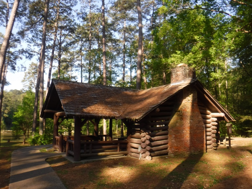
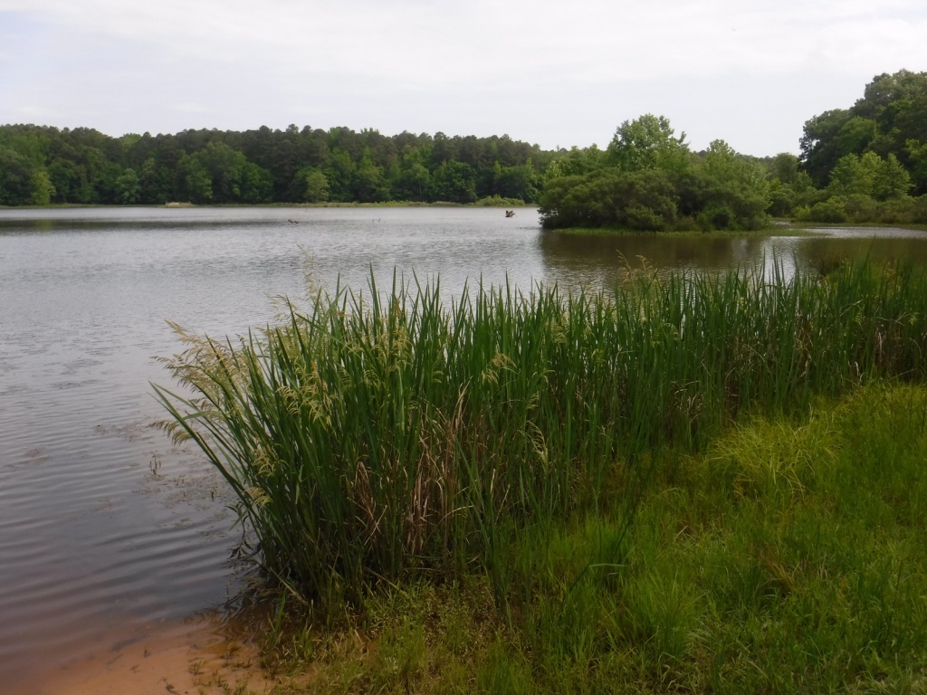
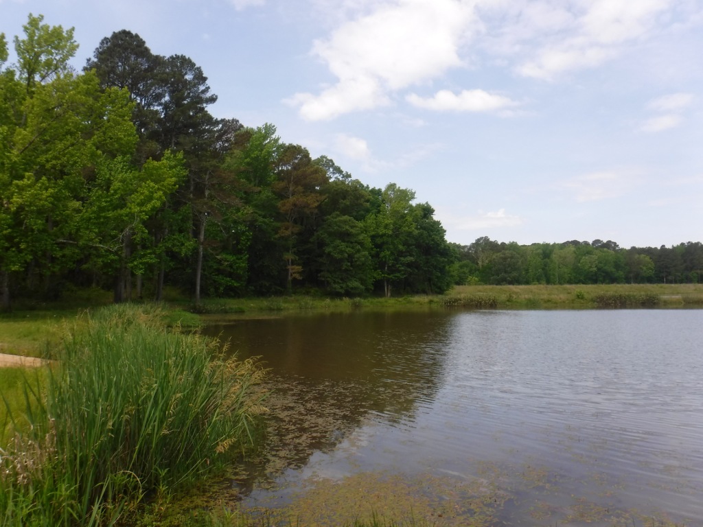
Homochitto National Forest has developed facilities at three small lakes: Clear Springs, Pipes, and Mt. Nebo. A one-mile trail encircles scenic Clear Springs Lake, which has a picnic shelter built by the Civilian Conservation Corps (CCC) in 1935 listed on the National Register of Historic Places. Elsewhere, Brushy Creek Loop is a 5.7-mile horse trail that is not recommended for hikers due to abundant mud and manure.
Best Trail
Just north of the Clear Springs Lake Campground is a trailhead (fee) for three long hiking trails, also maintained for mountain biking. Only the 10-mile-long Richardson Creek Trail was open during our visit with Tally’s Creek (10.8 miles) and Mill Branch (5.6 miles) closed due to downed trees. The route was well-marked with red blazes and had several nice bridges as it wound through the forested hills around Richardson Creek.
Watchable Wildlife
Clear Springs Lake has a sign warning of alligators, but we did not see any reptiles other than painted turtles. While camping overnight we heard what possibly was a frog making an interesting call that sounded like a lightsaber from Star Wars. Birds we spotted were a wild turkey, cardinal, goldfinch, and tufted titmouse. It is likely the National Forest allows hunting for white-tailed deer, wild turkey, ducks, and invasive wild pigs. Fishing for largemouth bass, catfish, and other species is allowed at Clear Springs, Pipes, and Mt. Nebo Lakes.
Instagram-worthy Photo
The picnic shelter at Clear Springs Lake was built by the Civilian Conservation Corps (CCC) in 1935 and is listed on the National Register of Historic Places.
Peak Season
Spring and fall
Fees
Clear Springs Lake Recreation Area charges a day use fee of $5 per vehicle or half price with the America the Beautiful pass.
Road Conditions
The road is paved to Clear Springs Lake, about 32 miles east of Natchez.
Camping
There is a nice campground with showers on Clear Springs Lake, accessed by a paved road four miles south of Highway 84. Campsites with hookups cost $20 per night and those without cost $7.
Best time of year: Spring for mild temperatures and flowering dogwood blooms
We recently published our guidebook 50 States of Great: Road Trip Guide to America, so we decided to start a new type of blog post where we create a travel itinerary for all 50 states, in addition to our usual National Forest and National Park entries. After starting with Kansas, we decided to do an east coast state. We made an ambitious seven-day plan starting in the northwest corner of Georgia, with many options to extend the trip.
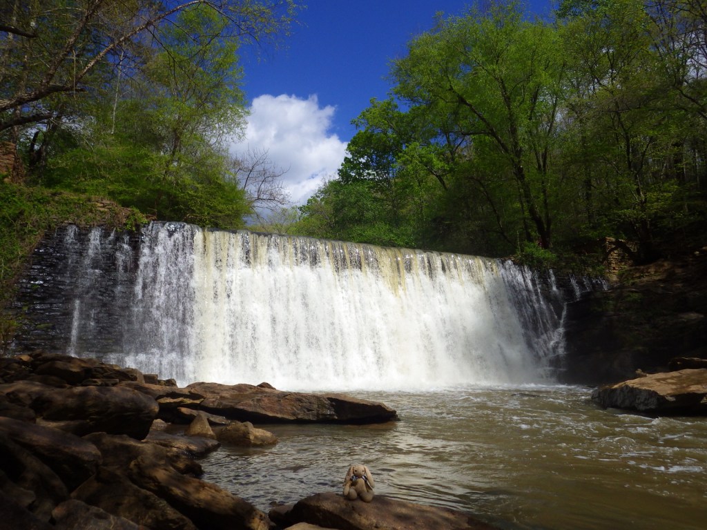
Formerly named after Springer Mountain, the southern terminus of the Appalachian National Scenic Trail (click here for our blog post) is marked with a bronze plaque and trail register. Most backpackers start from potholed Forest Service Road 42 and ascend 0.9 miles south to the summit then spend the night in the open-front trail shelter or turn around to head back north. For day hikers, a nice option is to add the eastern part of the Benton MacKaye Trail to make a 4.7-mile loop that passes Owen Vista.
The Gennett Poplar (a tulip-poplar tree more than five feet in diameter) is accessed by hiking 1.8 miles out-and-back with two stream crossings on the Bear Creek Tail. Other large tulip-poplars and yellow buckeyes are found in 175-acre Sosebee Cove Scenic Area. You can spend the night riverside at the free Hickey Gap Campground, one of our Top 10 National Forest Campgrounds.
Half of this park is situated in Tennessee around Lookout Mountain, but at Georgia’s Chickamauga battlefield a seven-mile long driving tour explains what happened there on September 20, 1863.
Optional stops at Brasstown Bald, Tallulah Gorge State Park, Amicolola Falls State Park, and Cloudland Canyon State Park
Start your itinerary a day early in Georgia’s northeast corner by enjoying some State Parks and the state’s high point Brasstown Bald, managed by Chattahoochee National Forest.
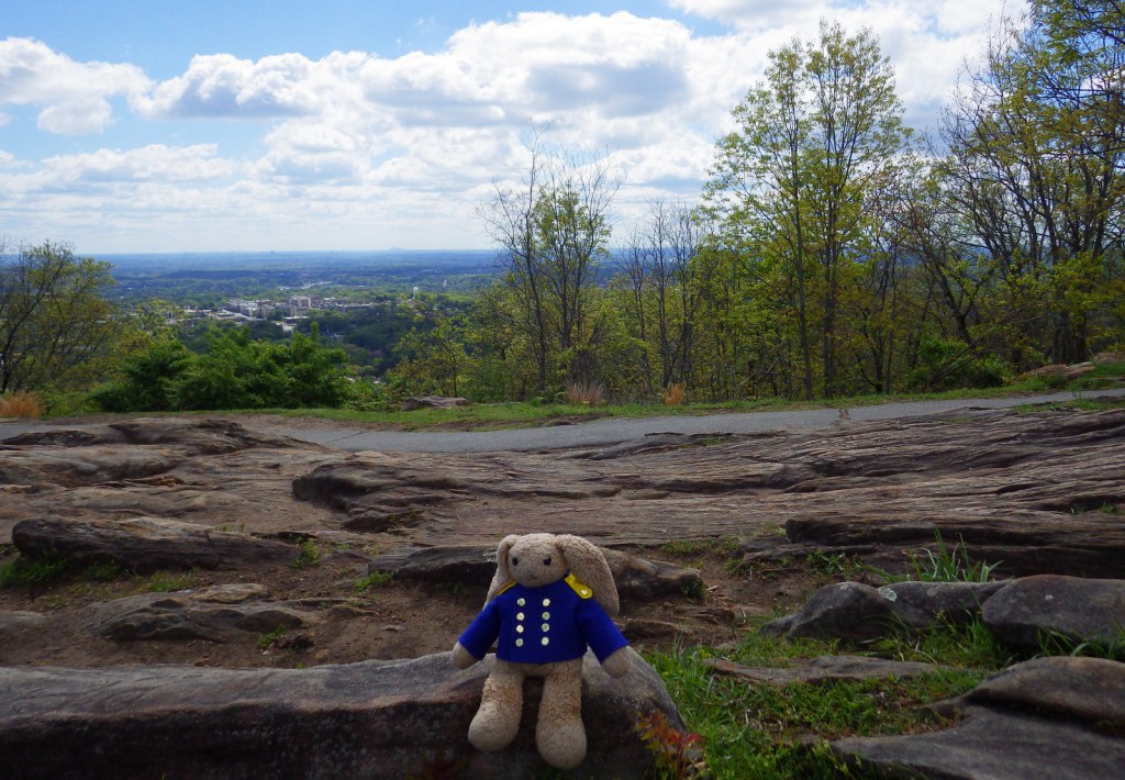
Wait out the morning traffic into Atlanta by driving or hiking to the top of this steep hill in the city’s suburbs.
Georgia Aquarium
Holding more than 10-million gallons of water in its numerous tanks, Georgia Aquarium is the best in the nation (even better than California’s Monterey Bay Aquarium). It contains more than 500 aquatic species, but the most impressive are the 30-foot-long whale sharks that reside in the 6.3-million-gallon Ocean Voyager Gallery, the world’s largest indoor marine exhibit.
A short walk from the visitor center is required to enter King’s boyhood home (which is wheelchair accessible). Silence is mandatory while inside. Outside the neighboring King Center, the Reflection Pool contains the tombs of Martin Luther King, Jr. and his wife Coretta Scott King, as well as an eternal flame.
Established in 1978, this park is a combination of government jurisdictions and private land that protects 48 miles of the Chattahoochee River downstream from Lake Sidney Lanier northeast of Atlanta. Due to its lack of large rapids it is popular with canoers.
This notorious Civil War prison remains an active military cemetery and is also home to the National Prisoner of War Museum run by the National Park Service. This may not be the best place to bring children, given that the exhibits in the museum do not pull punches in their depictions of the brutality endured by captured combatants throughout the ages.
One of the best examples of temple mounds from the Mississippian Culture that began around 1,100 years ago. Starting from the National Park Service museum (which contains artifacts dating back to 8000 B.C.E.), walk under the railroad tracks, go inside the replica earth lodge, and up the stairs to access the top of the 55-foot-tall Great Temple Mound.
Day 4
Savannah
Savannah is a great city for walking that offers countless public squares, beautifully landscaped Forsyth Park with its iconic fountain, spooky Bonaventure Cemetery (see photo), legendary River Street shopping district, and architectural gems like the birthplace of Juliette Gordon Low (who founded the Girl Scouts of America in 1912). Do not miss a photo at the tree-lined entrance to Wormsloe State Historic Site, a plantation located on the edge of an expansive marsh.
Optional stop at Tybee Island
After touring the city, drive on to the Atlantic Ocean for some beach time. Once you have soaked up some saltwater, sand, and sun, check out the Tybee Island Light Station and Museum, built at this site in 1773, then reconstructed after the Civil War. Also, check out the nearby World War II-era Battery Garland in the decommissioned Fort Screven.
Located 17 miles from Savannah on Cockspur Island, photogenic Fort Pulaski National Monument protects a brick fort named for a Polish Count who was killed in action during the American Revolution. Claimed by the Confederacy early during the Civil War, it was surrendered to the Union Army in April 1862 after thirty hours of shelling from nearby Tybee Island.
The British established Fort Frederica in the 1730s to stop Spanish encroachment from Florida into their American colonies. The town that formed around the fort peaked at a population of 1,000. Today it is a beautiful setting with tabby wall ruins and Spanish moss-draped trees.
Only accessible by boat, most visitors arrive by ferry from St. Marys (reservations recommended) and spend a full day here. Bicycles can be rented once you arrive on the island (they are not allowed on the ferry) and are permitted on the many miles of roads, but not on the trails or beach. While it is fun to spend time beachcombing or seeing the ruins of the Dungeness mansion, what really sets Cumberland Island apart are the 50 miles of hiking trails that cut through the maritime forest of twisty live oak trees. Watch for feral horses, white-tailed deer, armadillos, turkeys, and other birds along the way.
The largest freshwater wetlands in the country are home to about 12,000 alligators. The baldcypress swamp spreads across 448,000 acres around the Suwannee River. There are no roads across Okefenokee National Wildlife Refuge and it is most easily accessible from the west through Stephen C. Foster State Park, which has a campground and kayak rentals to access camping platforms in the swamp.
Clearing the forests for farmland in the mid-1800s is what allowed these 16 gullies to erode the soft red-clay hills into the colorful spectacle they are today (with many shades of orange, pink, lavender, and yellow). The 1,003-acre State Park was established in 1971 to protect the area and it is featured as a U-Haul Super Graphic. The best views are from the rim walk, but to truly appreciate the depth (up to 150 feet deep) and palette of colors you need to hike down into some of the nine canyons with trails.
The former Governor, Nobel Peace Prize-winner, and U.S. President Jimmy Carter is the most well-known peanut farmer in Plains, and was a regular at the Plains Peanut Festival held every September. The National Park Service manages the Jimmy Carter National Historical Park with two visitor centers, one at the former Plains High School and the other at the family’s 360-acre farm.
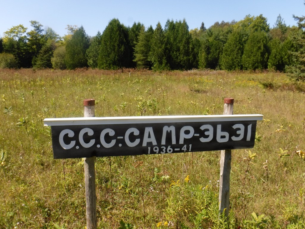
In northern Mississippi, Holly Springs National Forest was established in 1936 on abandoned agricultural land and it still encompasses 364,282 acres of private property. To help control erosion, the area was planted by the Civilian Conservation Corps (CCC) with loblolly pine seedlings. All six National Forests in Mississippi are managed as one administrative unit, including Bienville, De Soto, Delta, Holly Springs, Homochitto, and Tombigbee National Forests. The Holly Springs district ranger station is headquartered not in the town of Holly Springs, but rather in nearby Oxford, home of the University of Mississippi (or Ole Miss).
Highlights
Chewalla Lake, Puskus Lake, Benton Lookout Tower, Lake Tillatoba, Baker’s Pond Hiking Trail, North Cypress Non-Motorized Trail
Must-Do Activity
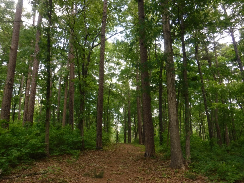
There are many small lakes and ponds throughout this region, some of them accessible from boat ramps on National Forest land. Chewalla Lake Recreation Area is the most developed site offering a swimming beach and campground, plus fishing and boating opportunities. A 2.3-mile trail at the 260-acre lake passes an overlook and a reconstructed Choctaw burial mound. In Holly Springs National Forest’s northeast corner off Highway 72, a short trail accesses Baker’s Pond, the source of the Wolf River. Further south, Lake Tillatoba is a fee-free primitive site managed by Tombigbee National Forest.
Best Trail
Open to hikers, mountain bikers, and horseback riders, North Cypress Non-Motorized Trail makes a three-mile loop marked by white blazes on trees through a lush green forest. The most scenic stretch crosses the earthen dam creating North Cypress Lake where sweeping views allow for bird watching. There are also short hiking trails at Chewalla Lake, Baker’s Pond, and Puskus Lake.
Watchable Wildlife
The National Forest’s lakes have largemouth bass, bluegill, catfish, and crappie that attract fishermen. The forest also provides habitat for white-tailed deer, fox squirrels, raccoons, and wild turkeys. We saw a red fox and our first indigo bunting on the North Cypress Non-Motorized Trail.
Instagram-worthy Photo
We spotted our first indigo bunting on the dam at North Cypress Lake, but did not have a zoom lens on hand.
Peak Season
Spring and fall
Fees
Chewalla Lake Recreation Area charges a day use fee of $5 per vehicle or America the Beautiful pass (half price with the Senior or Access Passes). Puskus Lake charges $3 per day and $7 for camping.
Road Conditions
The William Faulkner Memorial Highway (Highway 30) is paved and the dirt roads off it to North Cypress Lake and Puskus Lake were in good enough shape for our passenger vehicle.
Camping
Free primitive camping is allowed at designated sites around the parking area for North Cypress Lake (see Best Trail), 0.6 miles south of Highway 30. There is large campground on the west side of Chewalla Lake, offering nine sites with hookups ($20 per night) and 27 without ($7). Free camping for only one night is allowed at Lake Tillatoba, only three miles off Interstate 55.
white oak, northern red oak, southern red oak, black oak, bitternut hickory, mockernut hickory, slippery elm, black cherry, flowering dogwood, redbud, tulip-poplar, black gum, basswood, hackberry, sweetgum, red maple, white ash, green ash, pumpkin ash, tupelo gum, American elm
Explore More – In 1983, which presidential administration proposed auctioning off the entirety of Holly Springs National Forest?
Learn more about this and the 154 other National Forests in our new guidebook Out in the Woods
Hiawatha National Forest is separated into two sections on the Upper Peninsula of Michigan, both of which touch Lake Superior and Lake Michigan. The East Unit also fronts Lake Huron, and includes scenic Round Island Lighthouse near Mackinac Island, as well as beautiful Point Iroquois Light Station. Most of these sandy soils in the East Unit were never homesteaded, so they were easily designated Marquette National Forest by President Theodore Roosevelt in 1909. Land purchases for the West Unit began in 1928, and were later replanted by the Civilian Conservation Corps (CCC). The West Unit includes 13,500-acre Grand Island National Recreation Area (see our blog post) in Lake Superior, a popular destination for camping, biking, and kayaking at the western edge of Pictured Rocks National Lakeshore.
Highlights
Grand Island National Recreation Area, St. Helena Island National Scenic Area, Whitefish Bay Scenic Byway, Point Iroquois Light Station, Scott Falls, Diamond Hill Lookout, Porcupine Nature Trail, Haymeadow Falls Trail, Naomikong Point Blue Trail, North Country National Scenic Trail
Must-Do Activity
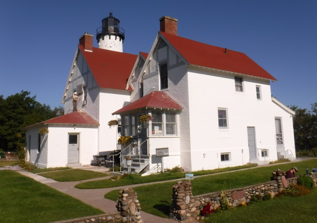
Several lighthouses are located along the shores of the Great Lakes, including the picturesque Round Island Lighthouse near touristy Mackinac Island, Point Iroquois Light Station (see Instagram-worthy Photo) on the Whitefish Bay Scenic Byway, and one on private land near Wick Point within Grand Island National Recreation Area (see our blog post). Further to the west Highway M-28 follows the shores of Lake Superior, where a Wayside Park at the east side of AuTrain Bay provides parking for those wishing to carefully cross the road to see ten-foot-tall Scott Falls.
Best Trail
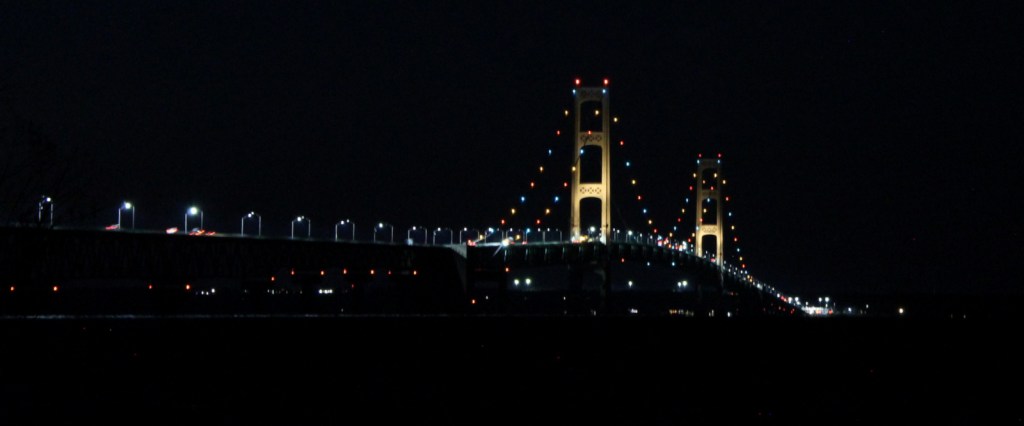
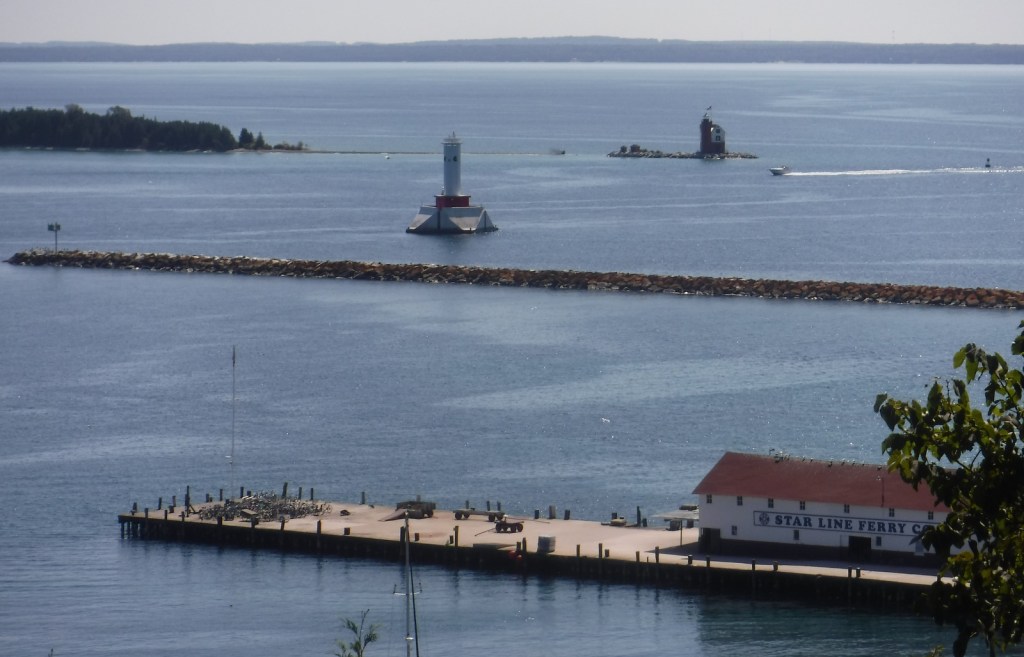
Foley Creek Day Use Area is located just off Interstate 75 at a large pullout along paved Mackinac Trail Road. A hike starts at the north end of a former campground, and soon the sound of the freeway is dispersed by the trees as you enter the small Horseshoe Bay Wilderness. The trail has boardwalks across the wettest spots and after 1.4 miles opens up to a secluded sandy beach on Lake Huron with views of Mackinac Island. Naomikong Point Blue Trail is a popular 3.4-mile out-and-back trail that connects with the North Country National Scenic Trail, crossing Naomikong Creek on a suspension bridge then ending at Menekaunee Point on Naomikong Island.
Watchable Wildlife
These forests are home to gray wolves, black bears, bobcats, Canada lynx, mountain lions, red foxes, coyotes, striped skunks, weasels, minks, river otters, porcupines, beavers, muskrats, snowshoe hares, white-tailed deer, and moose. Large birds found here include wild turkeys, spruce grouse, ruffed grouse, golden eagles, bald eagles, ospreys, great blue herons, sandhill cranes, and trumpeter swans. Hiawatha National Forest has more than 100 miles of shoreline on three Great Lakes, offering fishing for walleye, northern pike, muskies, Atlantic salmon, and steelhead trout. In addition, there are 75 inland lakes and 600 miles of streams, including five National Wild and Scenic Rivers: Carp River, Indian River, Sturgeon River, Tahquamenon River (East Branch), and Whitefish River. The 0.9-mile Haymeadow Falls Trail loop partially follows a productive trout stream.
Instagram-worthy Photo
Located on the Whitefish Bay Scenic Byway, the iconic 65-foot Point Iroquois Light Station stands on the shores of Lake Superior at the mouth of St. Mary’s River. The first lighthouse and residence were built here in 1855, and the current buildings were placed on the National Register of Historic Places in 1975. When not under construction, you can pay to enter the museum and climb the spiral staircase to the top of the tower.
Peak Season
Summer
Fees
None
Road Conditions
Whitefish Bay Scenic Byway is fully paved, and we found the unpaved roads to Hovey Lake Campground to be in good enough shape for our passenger vehicle.
Camping
We spent an enjoyable night at the free Hovey Lake Campground and awoke to find a pair of trumpeter swans on the water. Hiawatha National Forest has many other campgrounds, including two near the Mackinaw Toll Bridge: Lake Michigan (35 campsites) and Carp River (44 sites). Near the town of Brimley on Lake Superior, Bay View (24 sites) and Monocle Lake (39 sites) Campgrounds are also popular.
Hovey LakeTrumpeter swansHovey LakeScott behind Scott FallsPoint Iroquois Light StationPoint Iroquois Light StationLake SuperiorPoint Iroquois Light StationHorseshoe Bay WildernessHorseshoe Bay WildernessLake HuronMackinaw Toll BridgeLake MichiganRound Island Lighthouse from Mackinac IslandMackinac Island in distanceLake Huron