A big thank you to our readers for continuing to support our website! We recently reflected on our love of travel for the website All Fifty States Club and wanted to share that with you. And if you are around Wyoming, please check out our next 4 presentations at local libraries.
Our travel website Raven About The Parks is dedicated to providing information on recreating on U.S. public lands. Our mission is to shine a light on the lesser-known National Forests and National Park Service sites in America, and eventually to expand into covering National Wildlife Refuges and State Parks. We enjoy outdoor pursuits like backpacking, kayaking, camping, and snowshoeing, but we also love touring historic buildings, exploring museums, reading interpretive signs, and attending college football games. We take joy in discovering new places, and it seems like every time we visit one new spot, we add two more to our list. That is fine with us, since we believe travel is a never-ending quest to live life to its fullest. We hope that sharing our travels helps inspire others to “Find what you love and do more of it.”
In 2016, we took ten months off work in Wyoming to travel the world and we visited all 50 states between April and November. We had already been to more than 40 states at that point, and Tiff’s final state was New Jersey, while Scott’s was Connecticut. Our goal that year was in every state to stop into at least one State Park and a National Park Service site that we had never been to (some states like New Hampshire only have one). We printed blank sheets for each state to record the dates we visited, wildlife spotted, favorite places and people, and our impressions of each state’s drivers, roads, and topography. One of the best things we recorded was a list of places and events to return for, which has helped us plan some awesome trips in the subsequent years.
Between 2017 and 2023, we visited all 50 states once again (Delaware was the final one) while researching travel guidebooks we wrote on all 155 National Forests and road tripping in each state. We also made sure by the end that we had spent the night in every state (with Rhode Island being our last). The 50 States of Great guidebook is based on our experiences and thousands of hours of research; we picked our favorite National Park, State Park, National Forest (40 states have at least one), museum, roadside attraction, and eight other categories for all states. We even included shorter chapters on American Samoa, D.C., Puerto Rico, and the U.S. Virgin Islands (and we hope to visit Guam and Saipan someday). If you are interested, 50 States of Great: Road Trip Guide to America is available on Amazon.
We continue to travel across the U.S. seeking new adventures and returning to favorite places. In 2022, we came upon the book The Happiness of Pursuit by Chris Guillebeau that explained the mental health benefits of working toward a greater life goal (like running a marathon in all 50 states or attending a baseball game at every MLB stadium). We had been doing this all along, but since reading the book we have gone back to check in how many states we have bought a stuffed animal (45), hiked to a waterfall (38), crushed a penny (46), climbed to the highest point (29), visited the capital city (50 finished in Olympia, WA in 2023), showered at a Planet Fitness (29), and entered a museum (46). Our current active pursuits include attending a college football game (39) and hiking in a National Wildlife Refuge (33) in every state.
Basically, we write about the places we have been to inspire others to “Find what you love and do more of it.” We especially enjoy visiting new places, knowing that some of them will exceed our expectations and surprise us in ways we never could have anticipated. We flip through travel magazines and scroll through Pinterest boards (check out ours here), but some of our more interesting finds have been inspired by obscure sources such as U.S. Mint quarters and U-Haul Super Graphics (we are mildly obsessed with these and have been known to burst into jubilation upon seeing a Saskatchewan moose on a dune). We look forward to a future filled with travel across the U.S. and abroad. To put our expertise on U.S. travel to good use, we have started posting one-week itineraries for all 50 states (starting with Kansas, Georgia, Idaho, and Rhode Island).
After reading an article on the website All Fifty States Club by Bob Rainville, we were inspired to determine how many state-to-state border crossings we had completed. It took more than an hour of poring over maps and searching our memories, but we figured out there are 104 drivable border crossings and that we have made 96 of them already on our cross-country journeys. Half of the eight remaining involve the corners of Missouri, which touches eight different states (the most of any state).
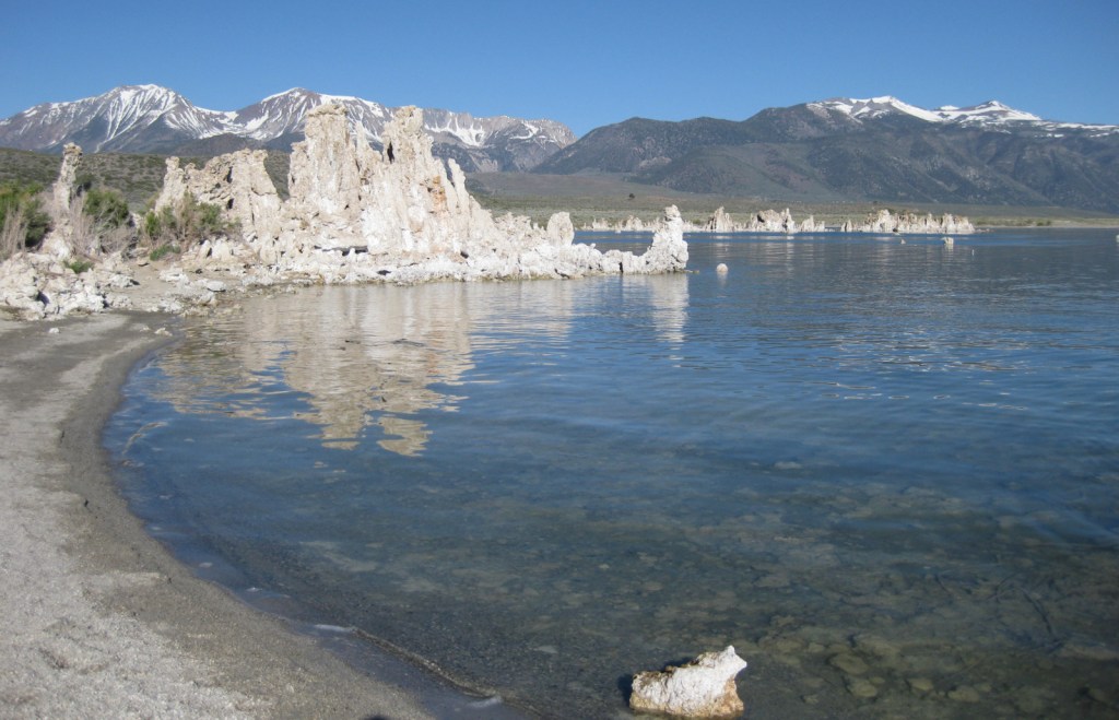
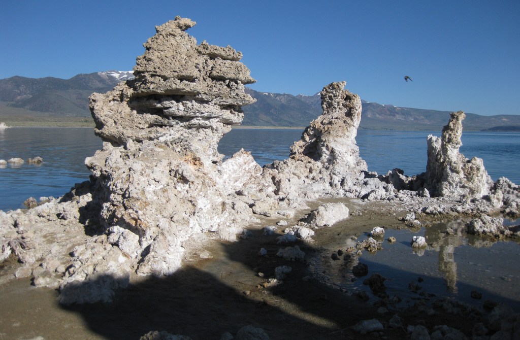
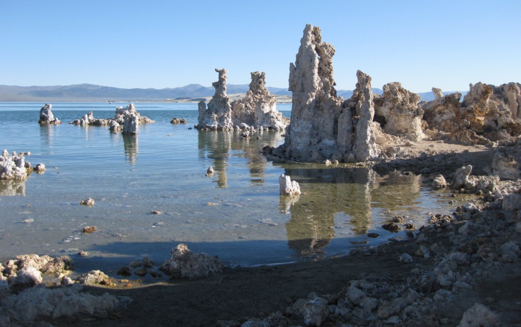
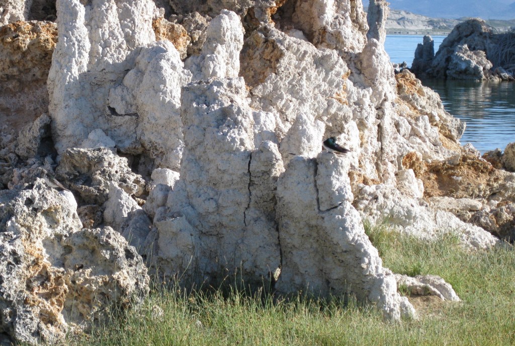
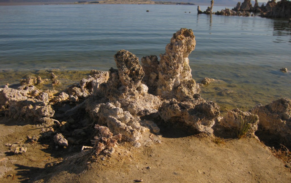
We appreciate your time and hope to produce another 500 quality posts for our audience in the coming years. We have previously made Top 10 Lists of our favorite posts from each 100 post milestone, but this time we decided to create a different list highlighting the Top 10 Natural Phenomena to See in the U.S. Watch for it soon!
Thank you for reading our blog!
Scott and Tiff
Cheyenne, WY
Please check out our next 4 presentations at libraries in Wyoming!
“Find what you love and do more of it.”

We recently published the expanded 2nd edition of our guidebook to the National Parks— A Park to Yourself: Finding Solitude in America’s 63 National Parks (available for sale on Amazon). The new edition is more than 60 pages longer with four-page chapters on Alaska’s wilderness National Parks that formerly had only a page. We also wrote a six-page chapter on the newest National Park— New River Gorge National Park and Preserve.
Our travel guidebook 50 States of Great: Road Trip Guide to America is also available for sale on Amazon