Black Hills National Forest
South Dakota, Wyoming
Managed by U.S. Forest Service, Rocky Mountain Region
1,534,471 acres (1,253,308 federal/ 281,163 other)
Website: https://www.fs.usda.gov/blackhills
Overview
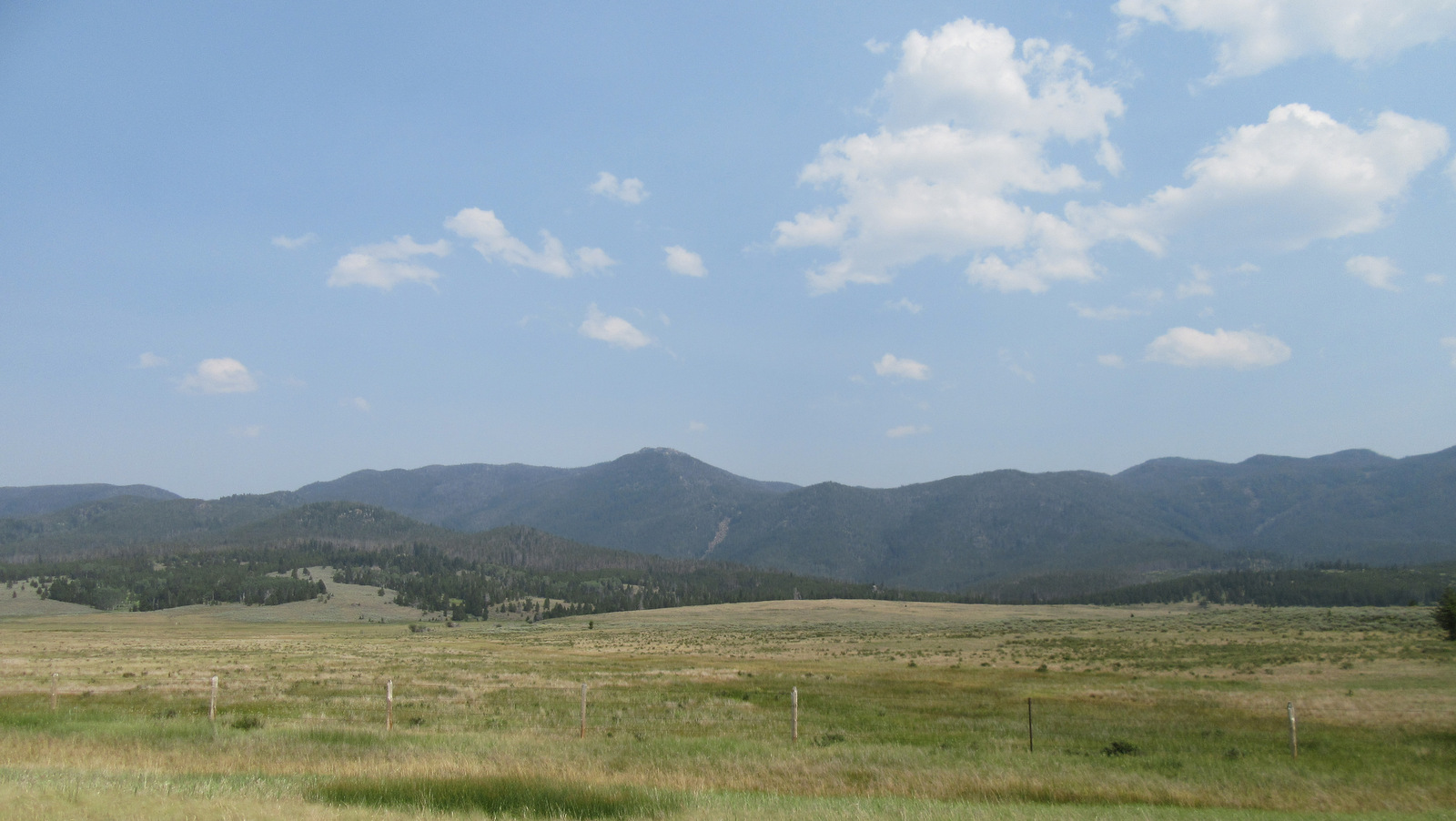
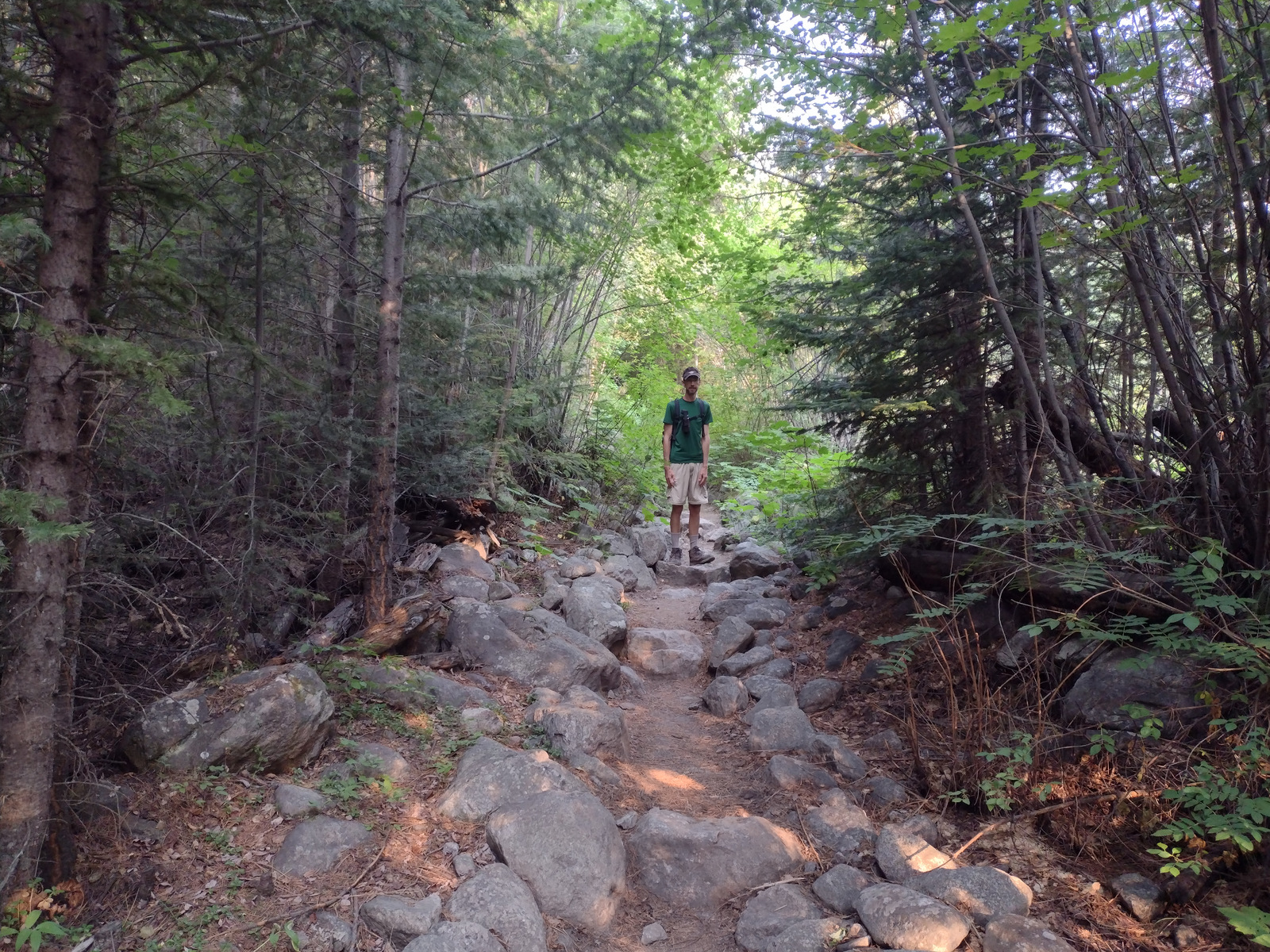
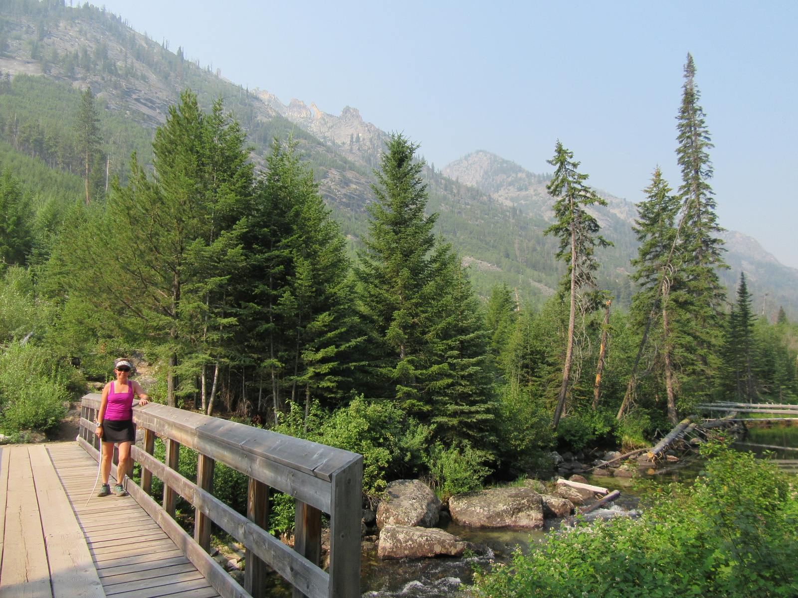
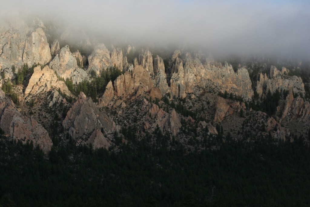
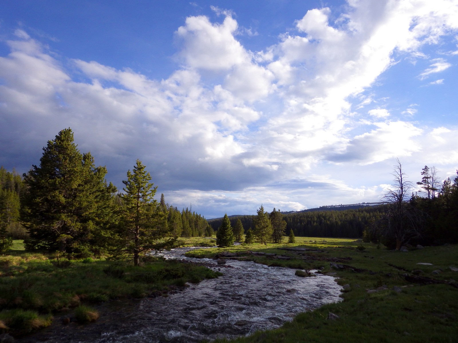
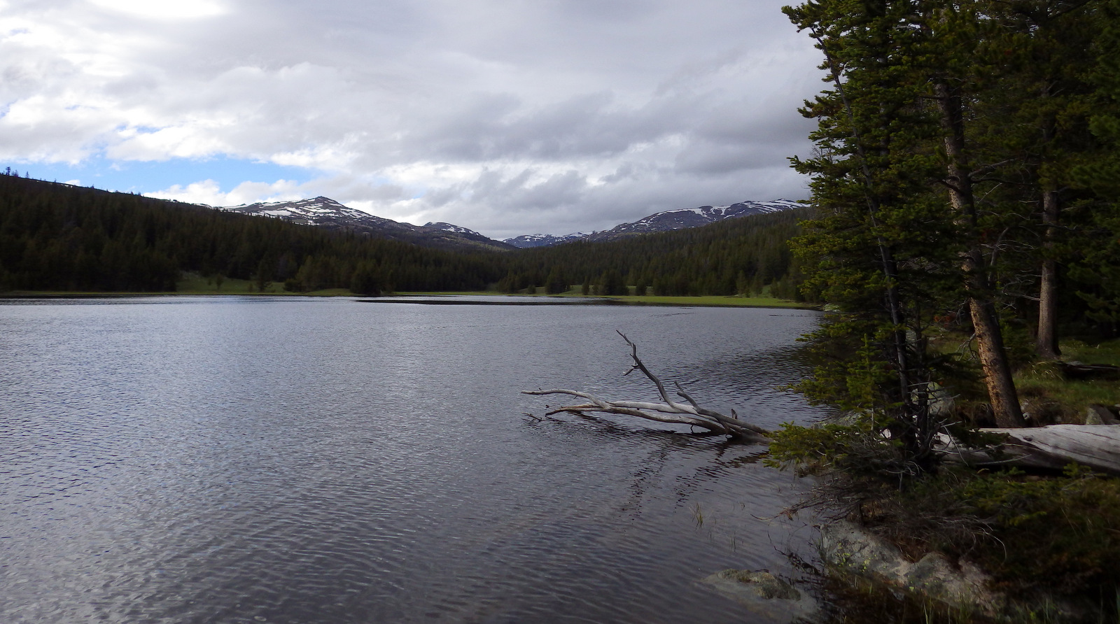
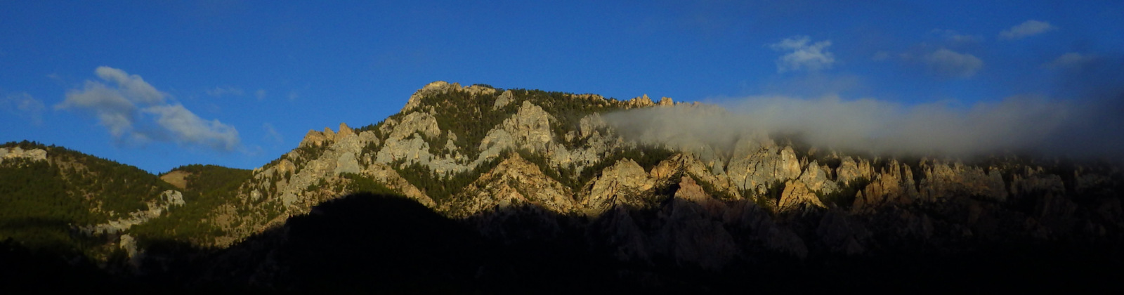
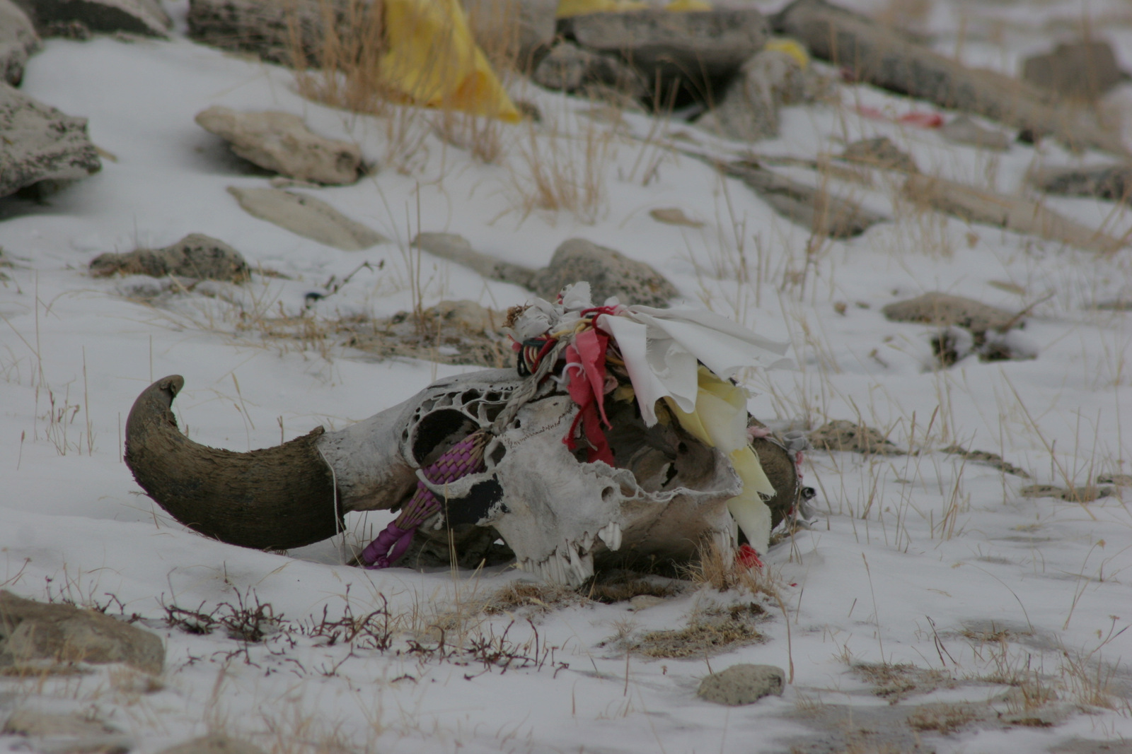
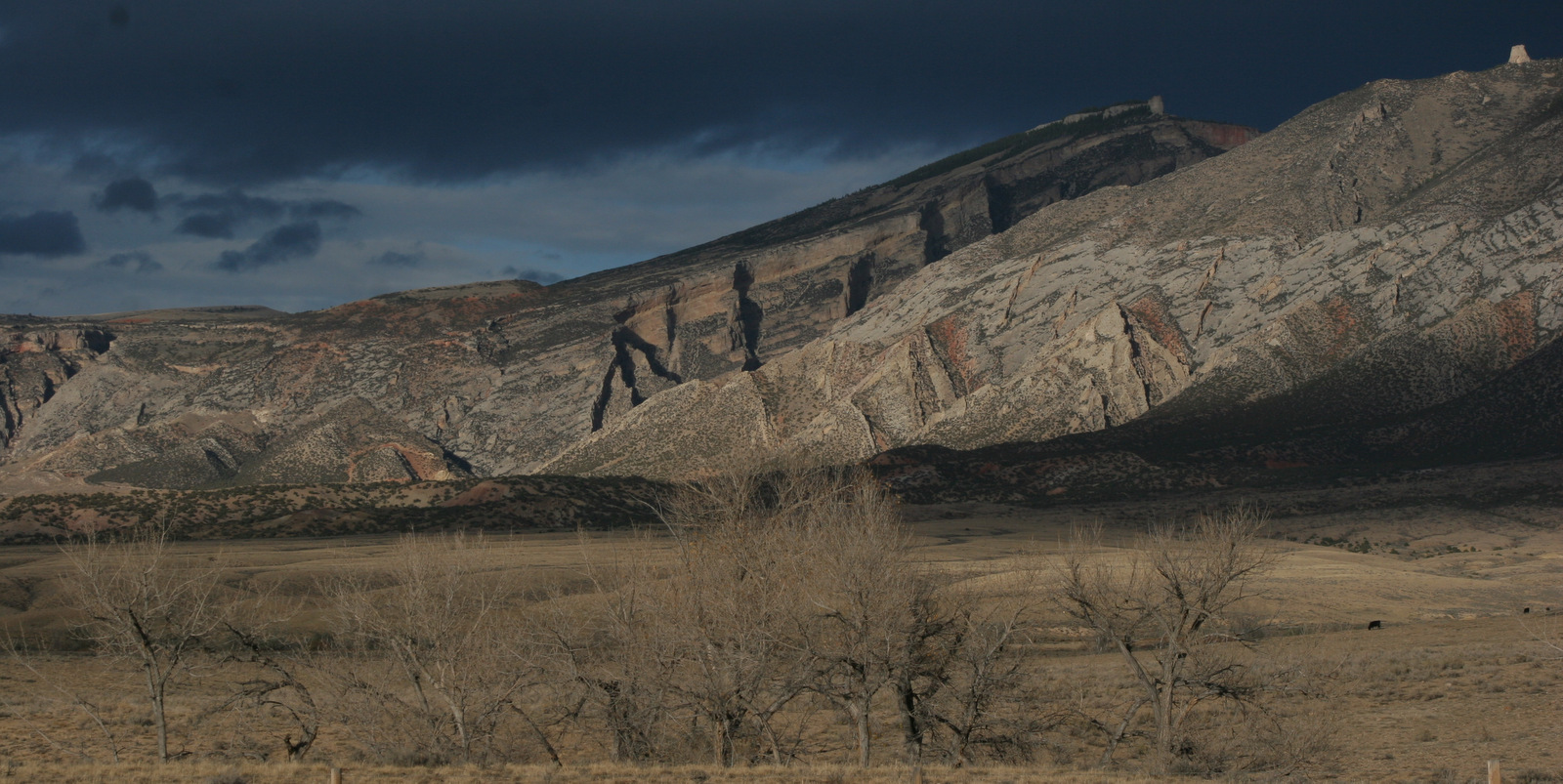
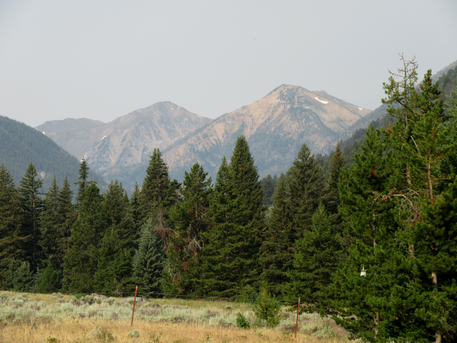
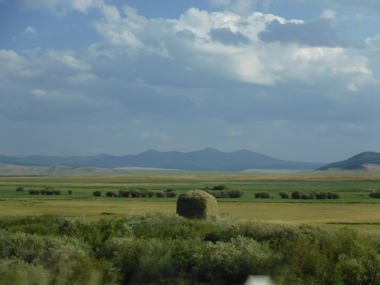
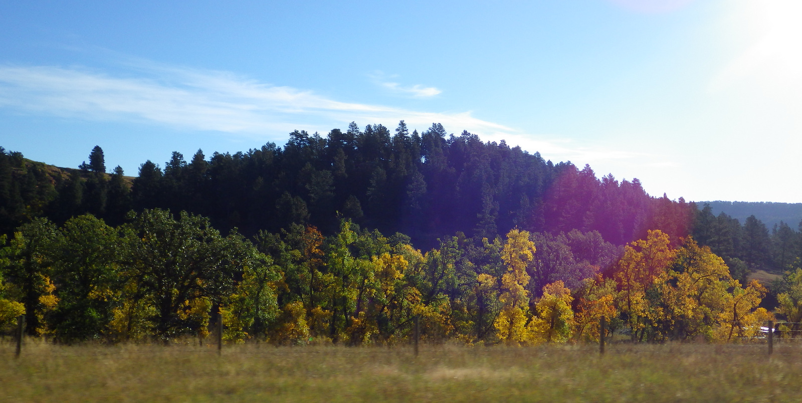
Straddling the Wyoming-South Dakota border is a region known as the Black Hills, where a gold rush took place in the mid-1870s. The area was a traditional hunting ground for American Indians and site of the sacred Bear Butte, which led to numerous conflicts. The hills may be called black because of the ponderosa pine forests that dominate the rocky landscape that rises above the surrounding prairie. Explore some of its 353 miles of trails on foot, drive the miles of back roads, and be sure to keep an eye out for wildlife.
Highlights
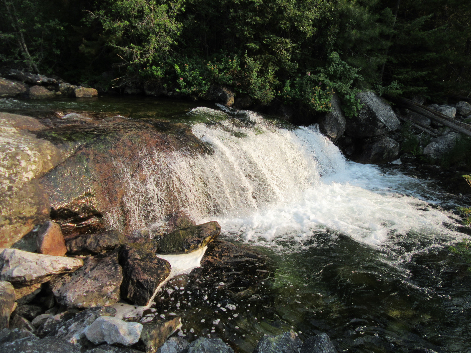
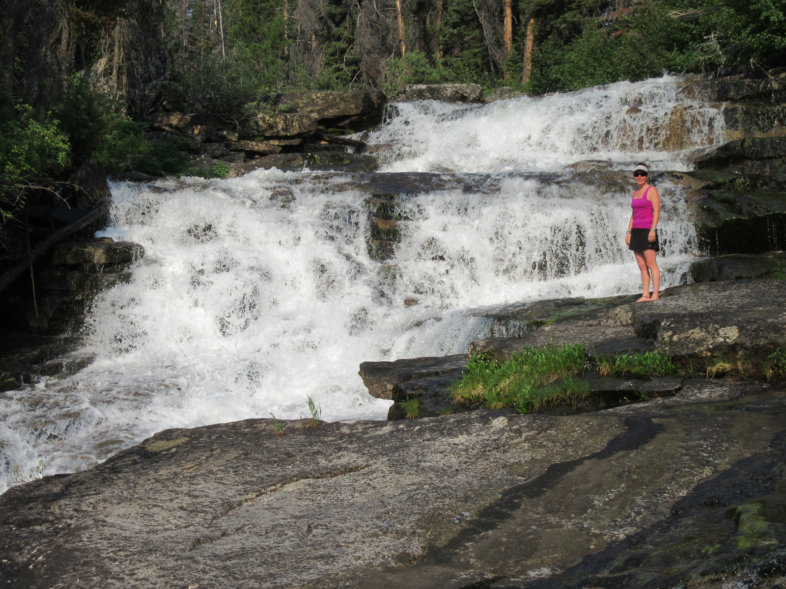
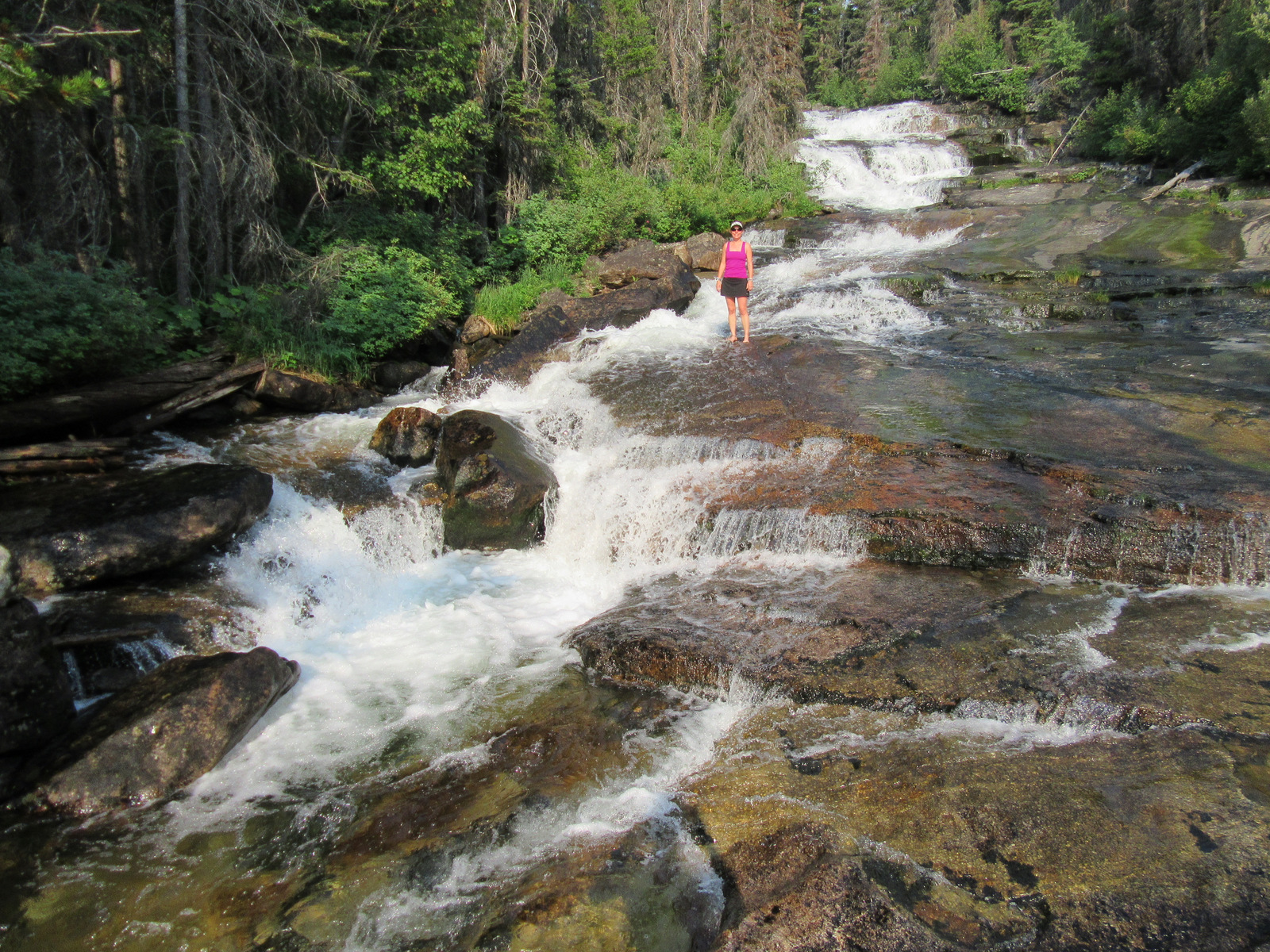
Peter Norbeck Scenic Byway, Black Elk Peak, Pactola Reservoir, Spearfish Canyon Scenic Byway, Bridal Veil Falls, Centennial Trail, Old Baldy Trail, Flume National Recreation Trail, Buzzards Roost Trail
Must-Do Activity
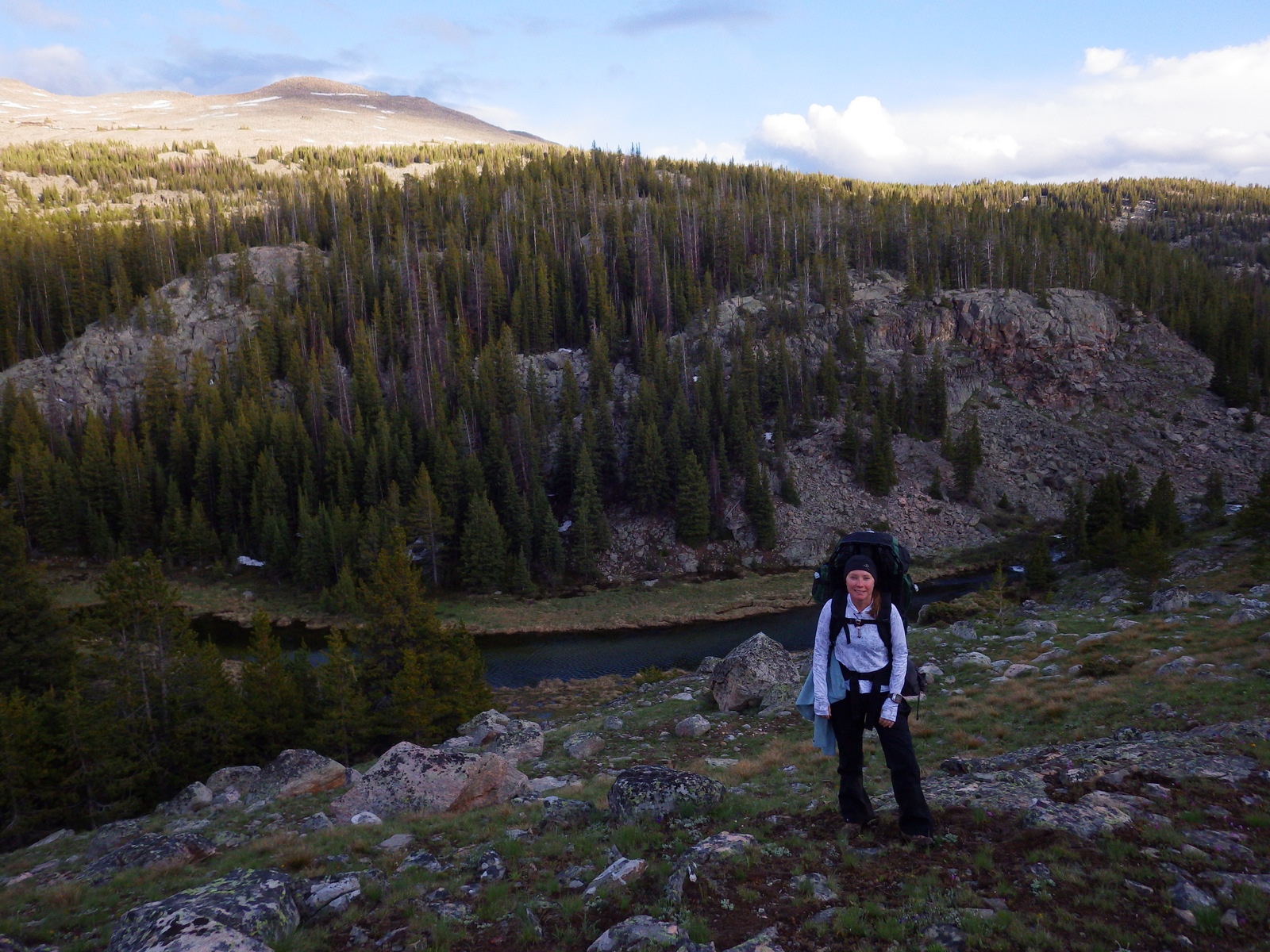
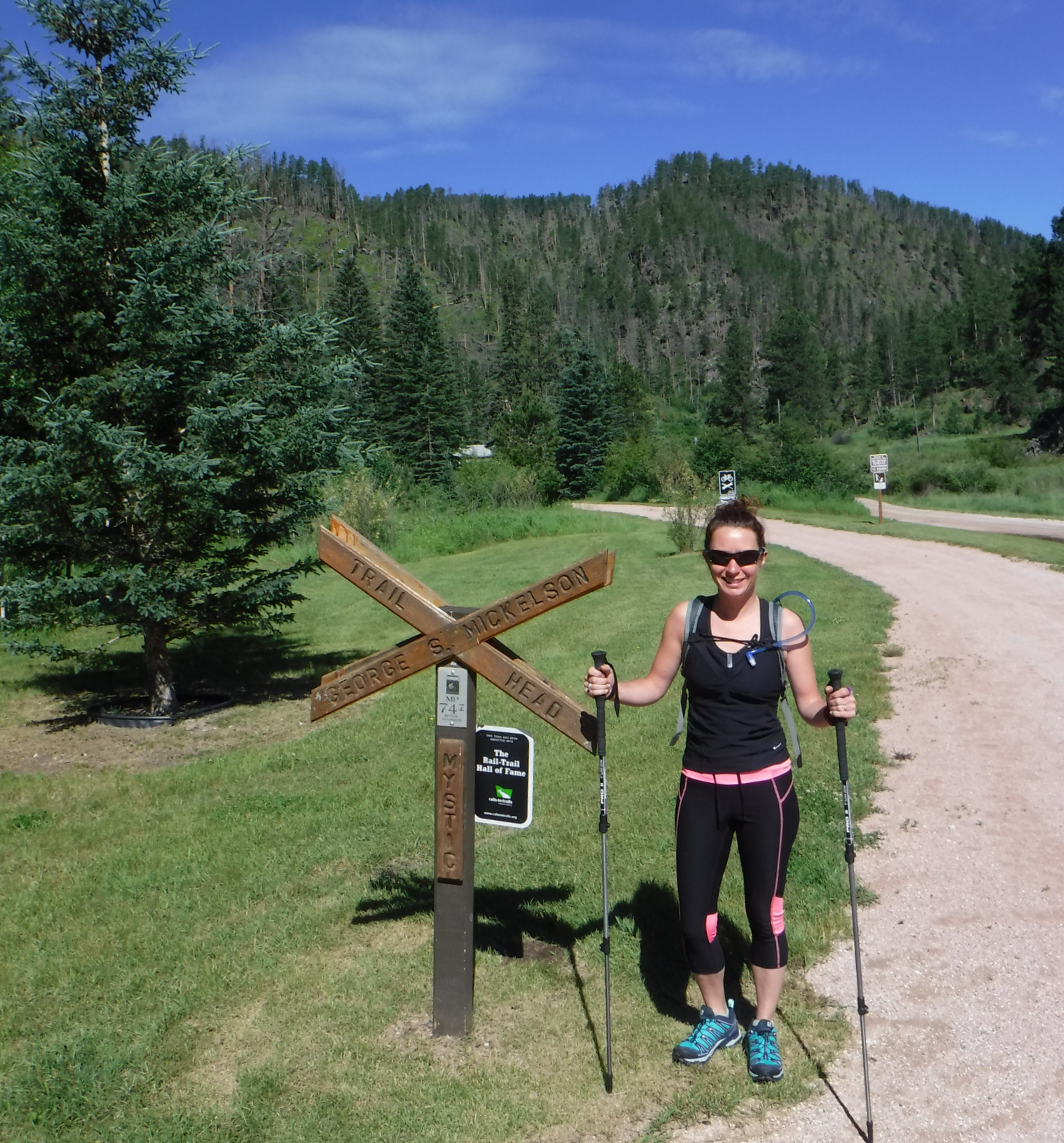
In Wyoming, scenic Bear Lodge Road cuts through the forest between Sundance and Alva, east of Devils Tower National Monument. In South Dakota, we love Black Hills National Forest because it offers tranquil dispersed camping not far from the hubbub that surrounds Custer State Park, Mount Rushmore, Crazy Horse Memorial, Roughlock Falls, and Deadwood. To escape the crowds, hike a portion of the 111-mile Centennial Trail or 108-mile George S. Mickelson Rail Trail (which is free to hike or bike, but requires a parking fee at its official trailheads).
Best Trail
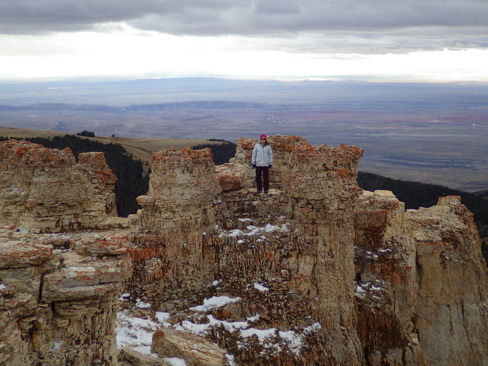
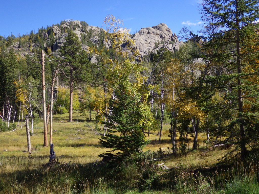
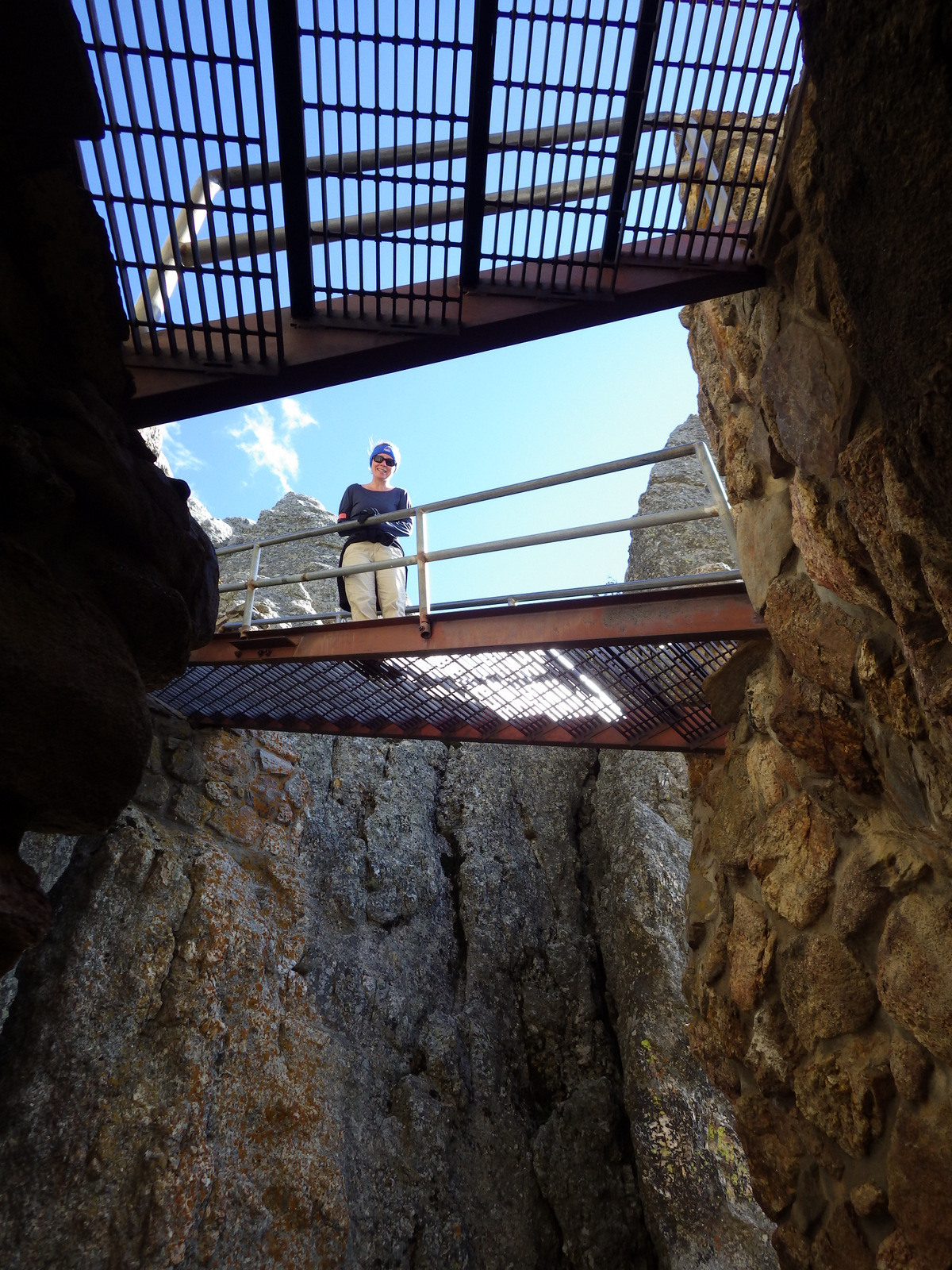
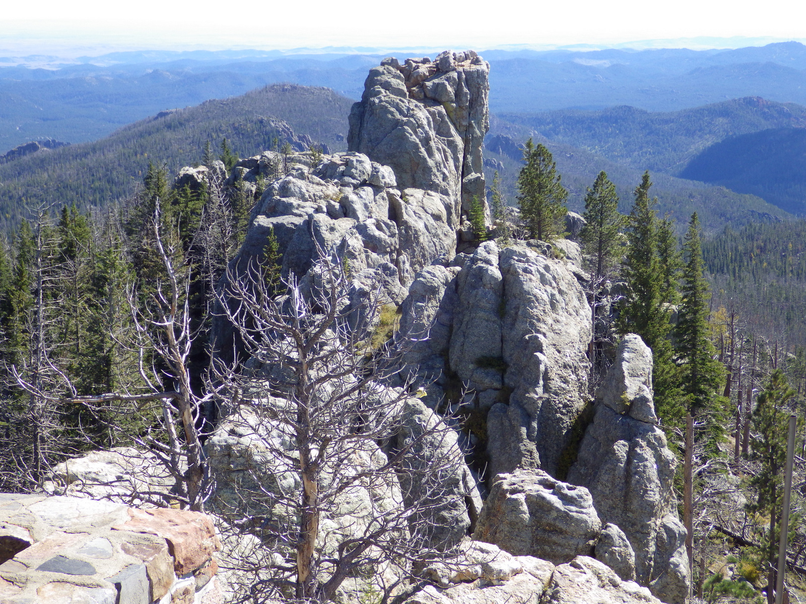
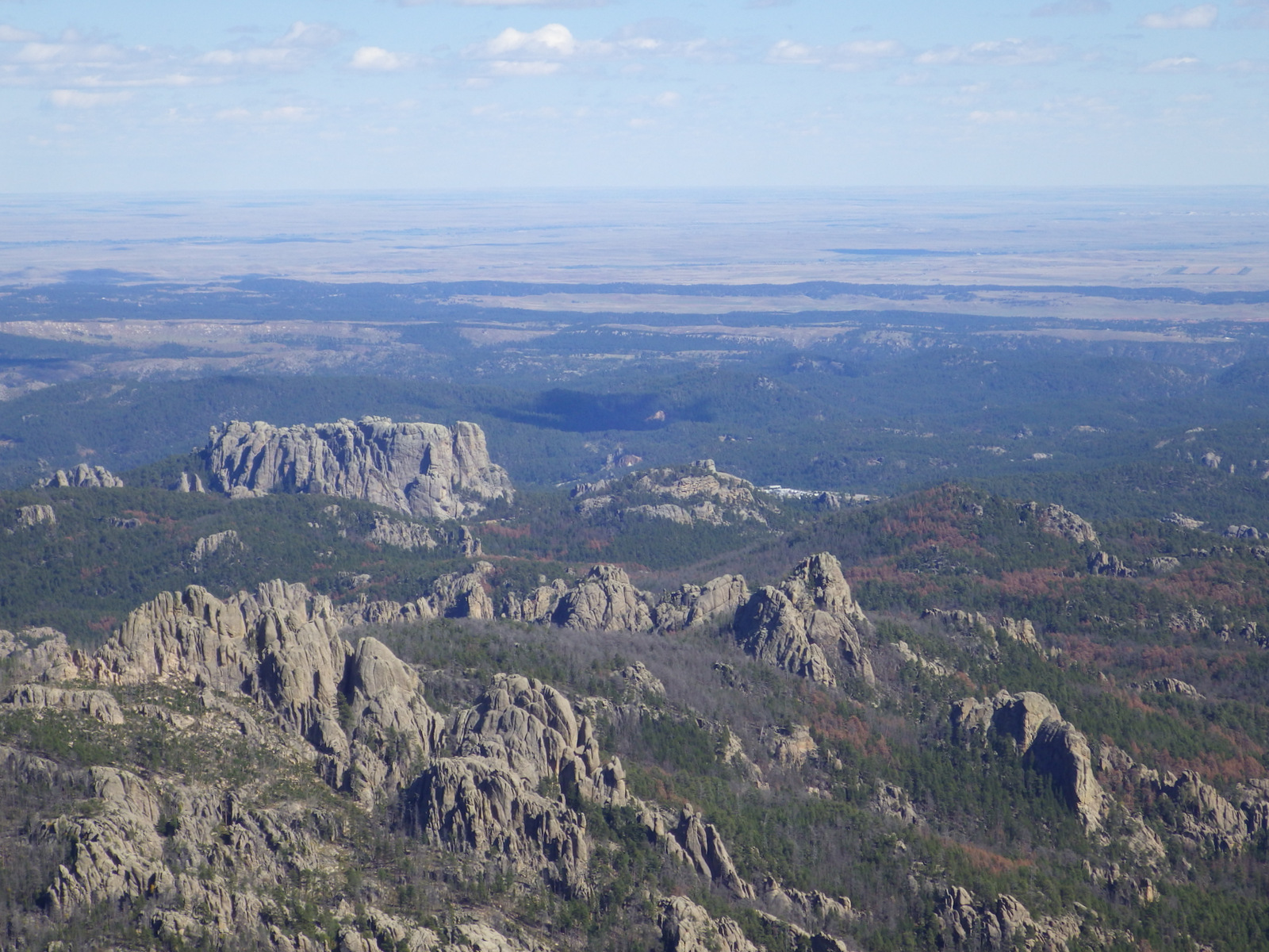
Rising in the center of the Black Elk Wilderness is 7,242-foot tall Black Elk Peak (formerly Harney Peak), the highest spot in South Dakota and the highest point in the U.S. east of the Rocky Mountains. Trails to the summit start from near Mount Rushmore National Memorial (4.7 miles one-way) and Sylvan Lake in Custer State Park (parking fee, 3.8 miles one-way).
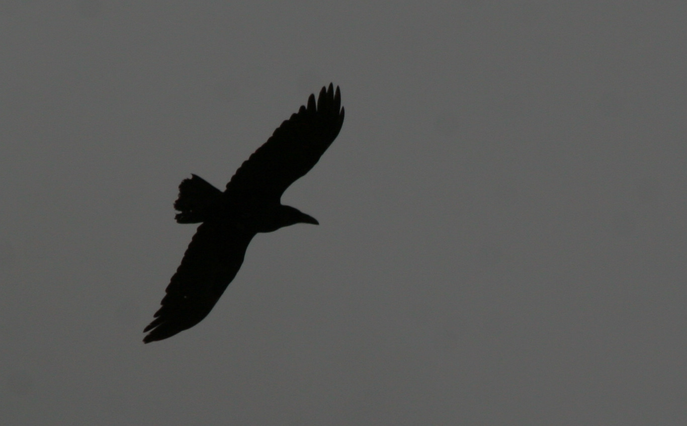
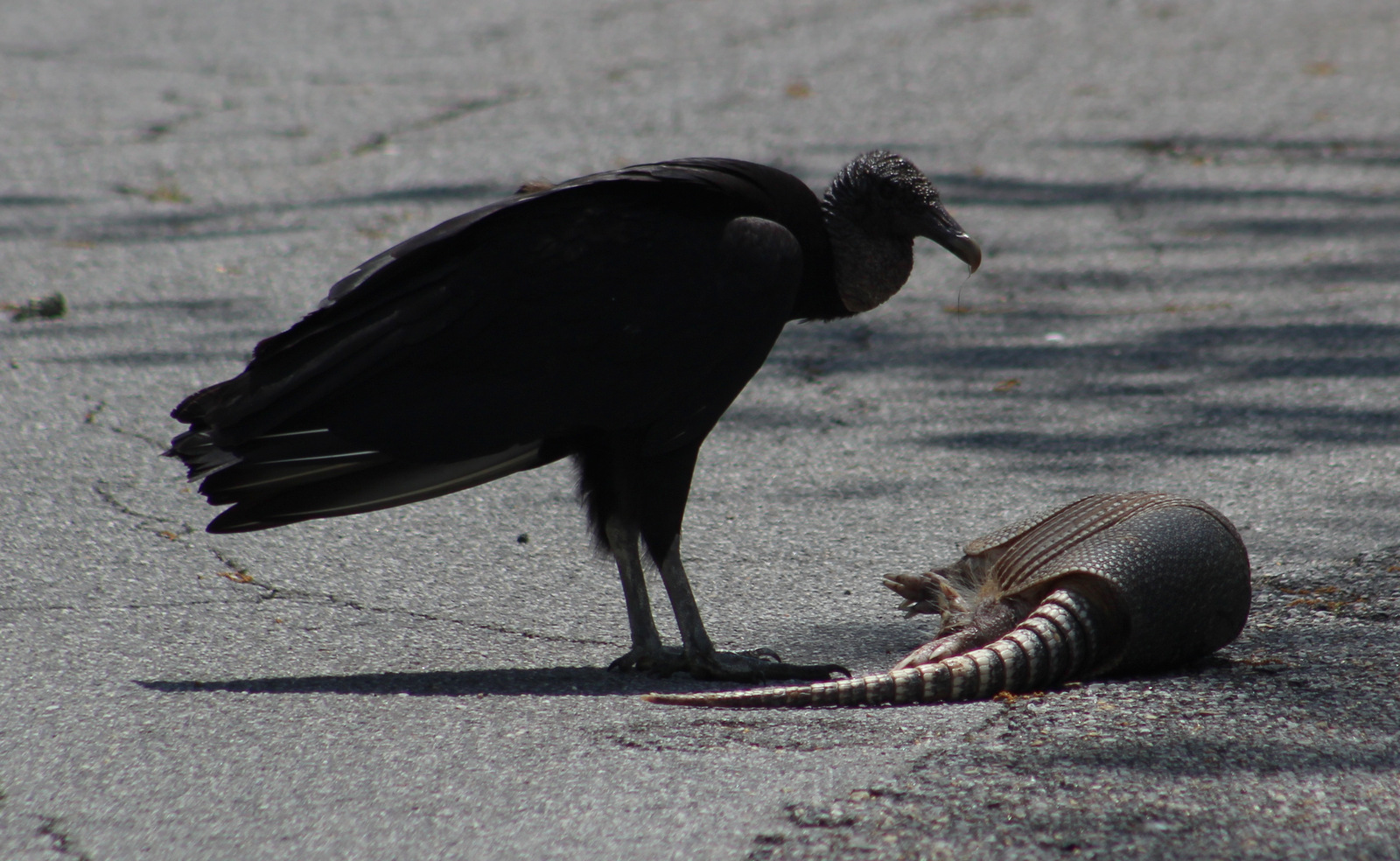
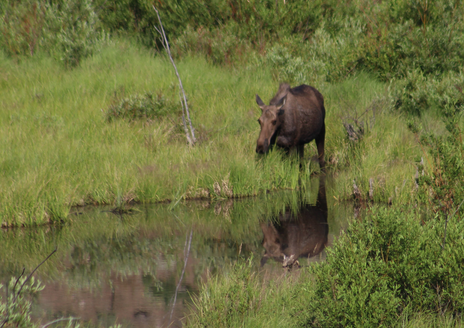
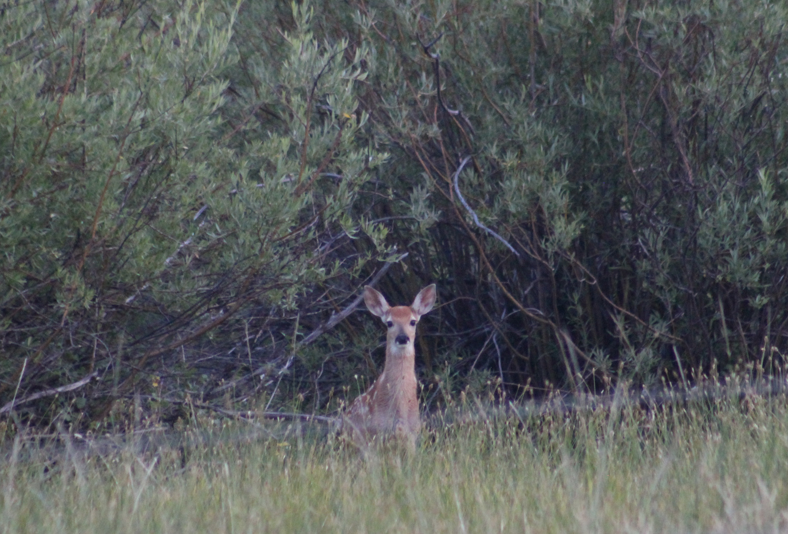
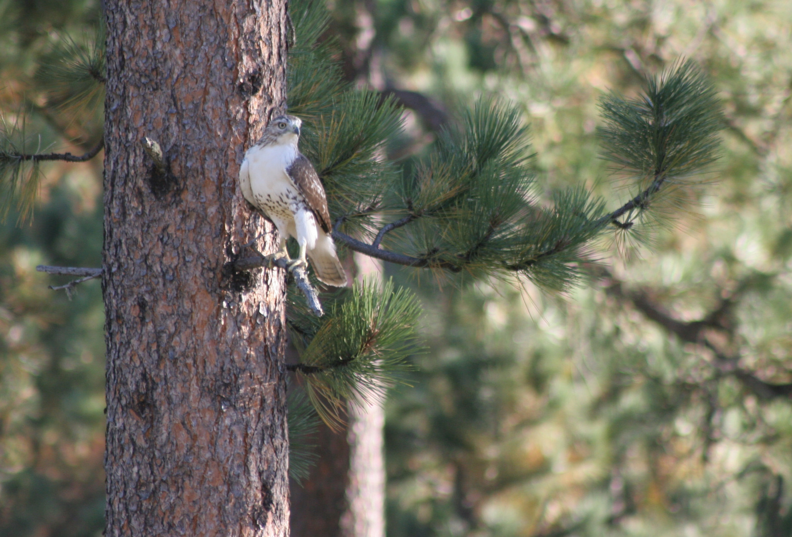
Watchable Wildlife
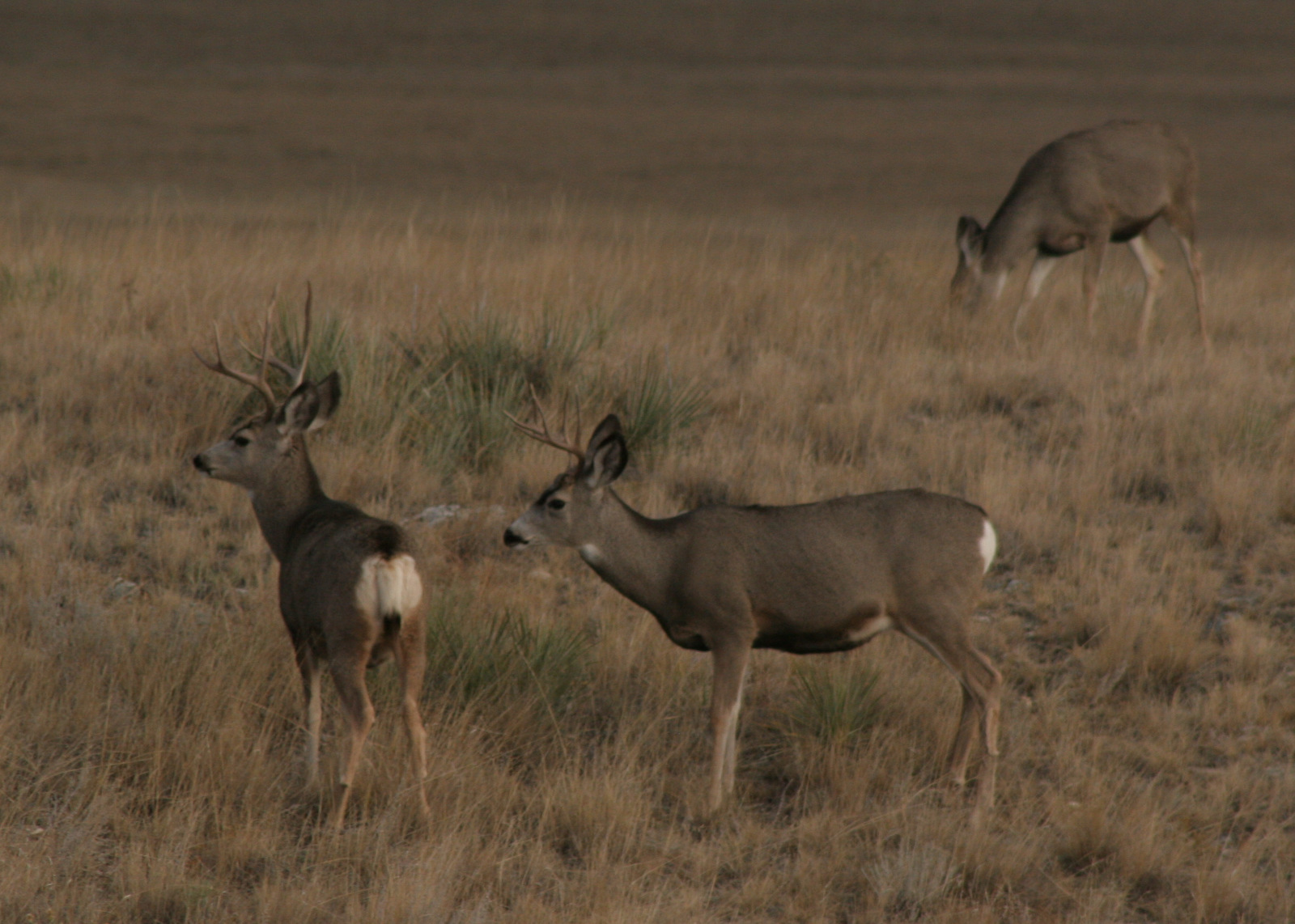
Elk can be found spread throughout Black Hills National Forest, but these nocturnal ungulates are elusive. Mule deer, white-tailed deer, bighorn sheep, pronghorns, prairie dogs, and turkeys are more commonly sighted. While driving past Mount Rushmore National Memorial keep an eye out for mountain goats that were introduced to this area. Both Wind Cave National Park (free) and Custer State Park (entrance fee) have herds of bison, but fences keep them out of the National Forest.
Instagram-worthy Photo
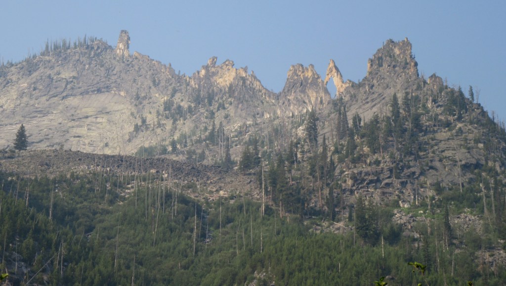
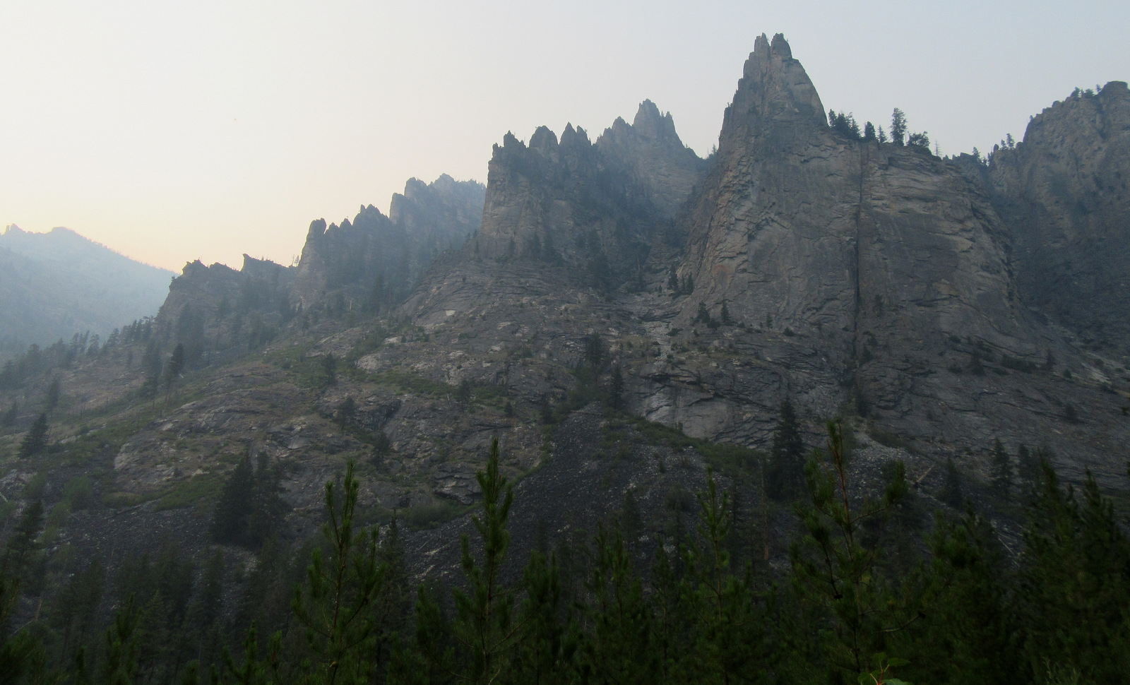
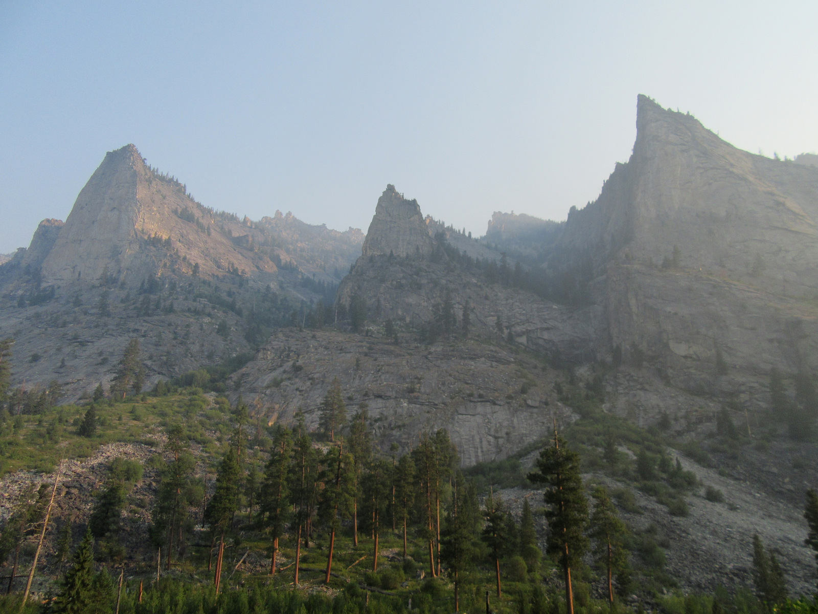
West of Rapid City, South Dakota on Highway 44 is the trailhead for the Buzzards Roost trail system. Loops of different lengths connect to the scenic overlook at Buzzards Roost Lookout, the shortest option being 1.1 miles one-way.

Peak Season
Summer, plus Buffalo Roundup weekend (late September)
Fees
None
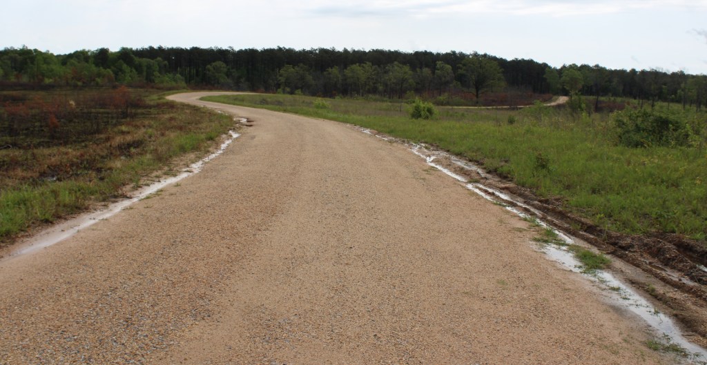
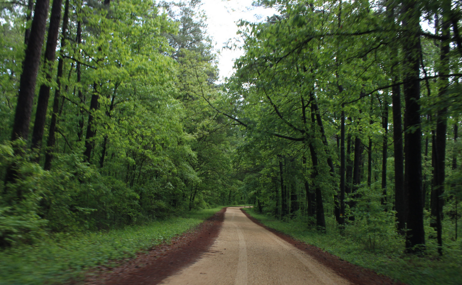
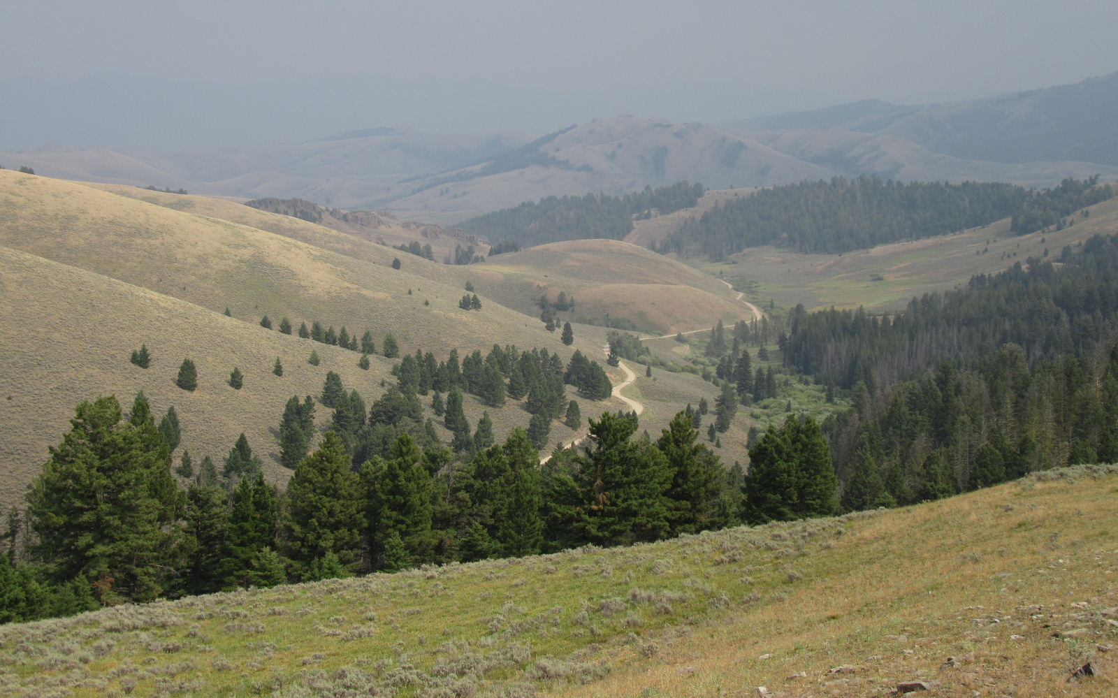
Road Conditions
Iron Mountain Road (Highway 16A) is part of the Peter Norbeck National Scenic Byway where you will discover the meaning of the term “pigtail bridges.” Although it cuts through Custer State Park, you do not have to pay the entrance fee if you are driving straight through. We have found the dirt roads in Black Hills National Forest to be well maintained throughout the year.
Camping
The U.S. Forest Service operates 32 campgrounds (no RV hookups) with nominal fees, especially compared to Custer State Park. There is also a campground at Wind Cave National Park, but we prefer dispersed camping along Forest Service roads although you have to be careful of private property boundaries.
Wilderness Areas
Black Elk Wilderness
Related Sites
Mount Rushmore National Memorial (South Dakota)
Jewel Cave National Monument (South Dakota)
Badlands National Park (South Dakota)
Nearest National Park
Wind Cave (South Dakota)


Conifer Tree Species
ponderosa pine, lodgepole pine, limber pine, white spruce, Rocky Mountain juniper
Flowering Tree Species
quaking aspen, paper birch, boxelder, green ash, American elm, eastern cottonwood, red osier dogwood, bur oak, hophornbeam
Explore More – When was the stone fire lookout tower atop Black Elk Peak built by the Civilian Conservation Corps?