Continental Divide National Scenic Trail
New Mexico, Colorado, Wyoming, Idaho, Montana
Managed by U.S. Forest Service (70%), Bureau of Land Management (12%), National Park Service (10%), other (8%)
Established 1978
3,028 miles
Website: https://www.fs.usda.gov/managing-land/trails/cdt
Overview
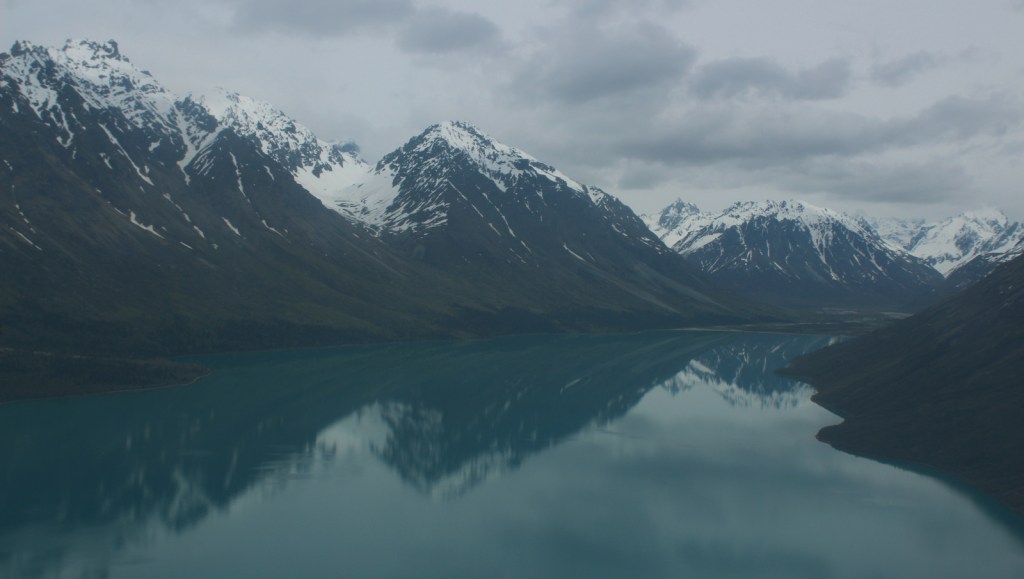
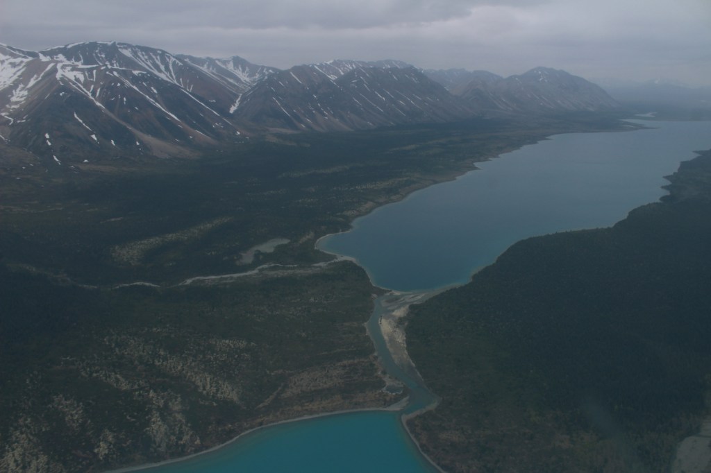
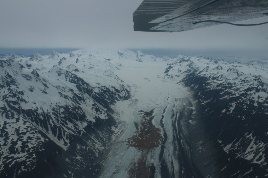
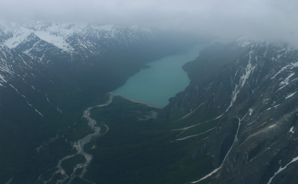
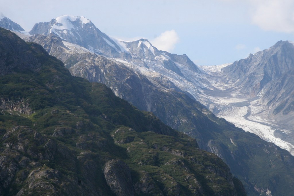
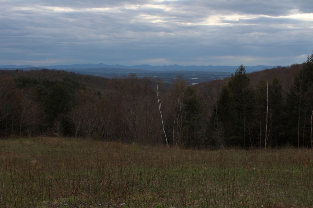
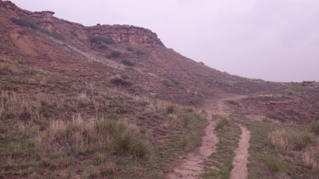
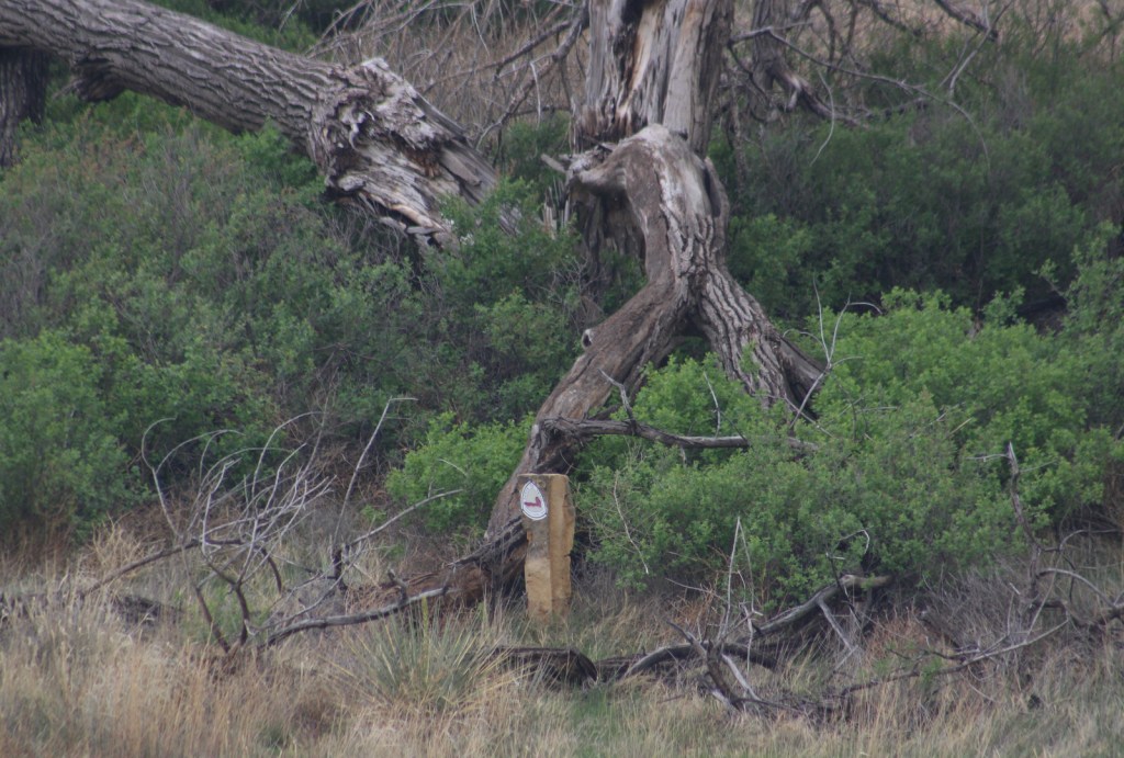
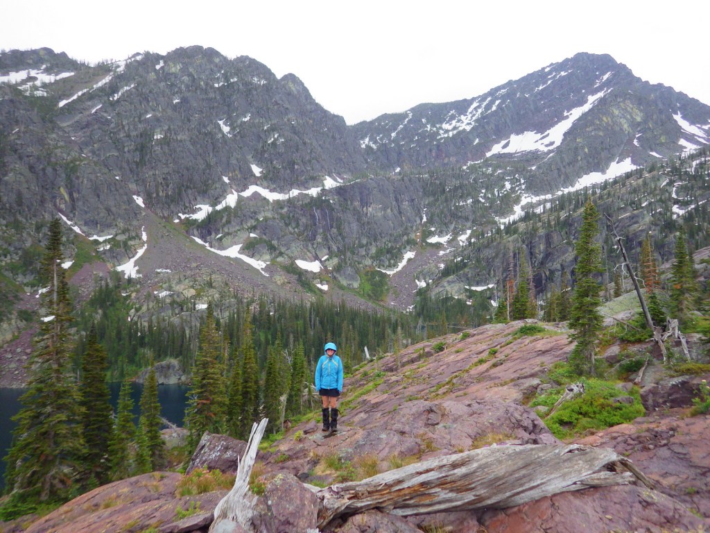
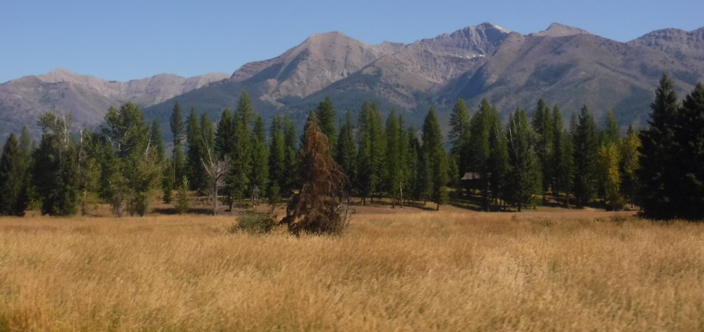
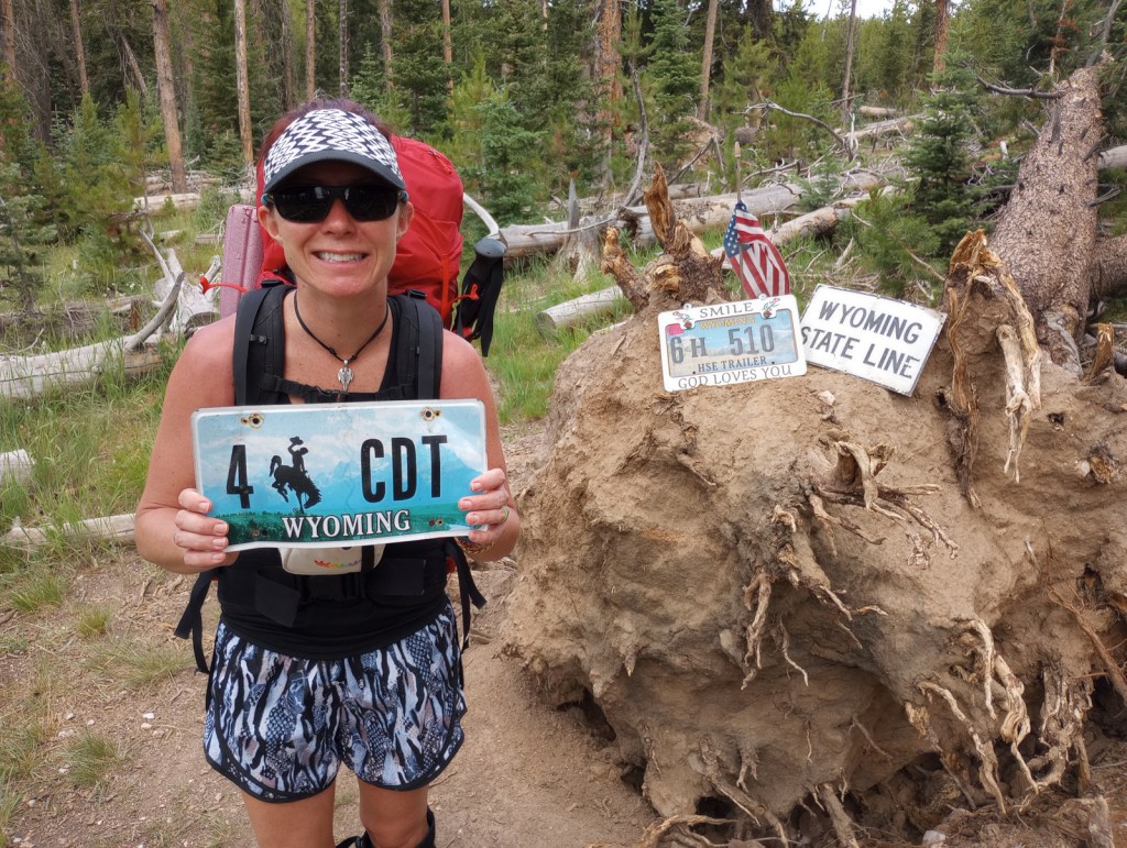
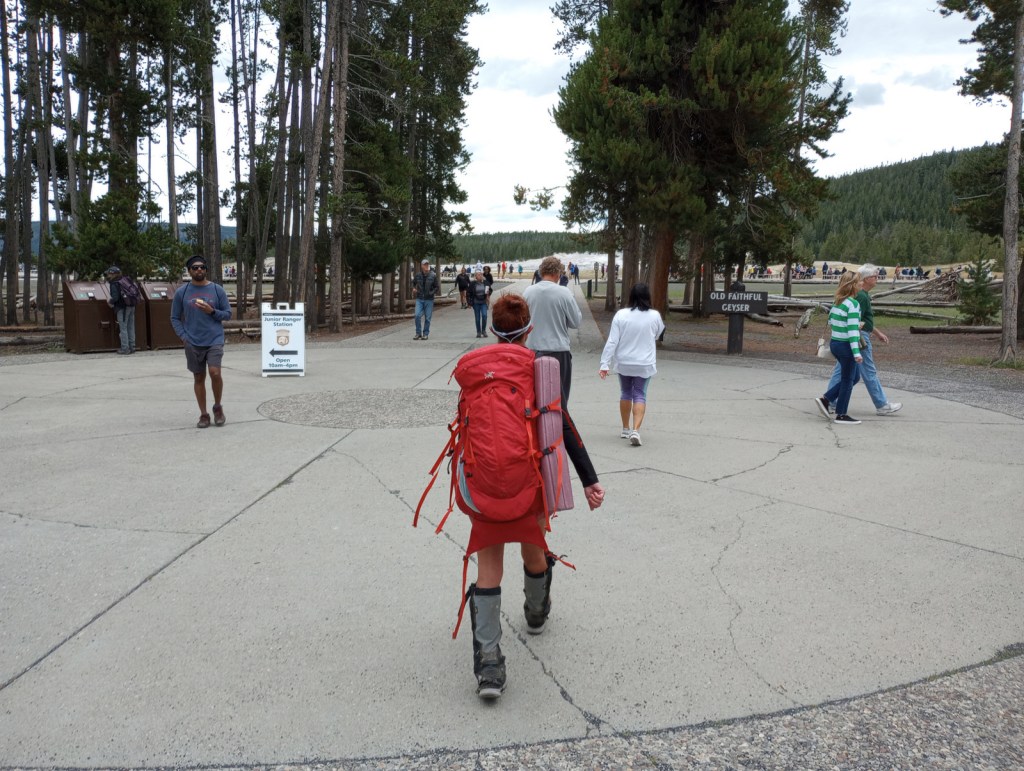
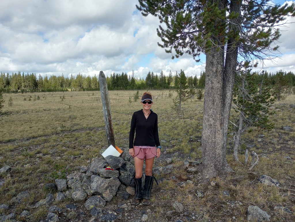
We decided to write about the Continental Divide National Scenic Trail (CDT) now, since Tiff recently finished backpacking the entire 512-mile Wyoming section of the route. The CDT stretches 3,028 miles from the Crazy Cook Monument on the border with Mexico north to Waterton-Glacier International Peace Park. The official trail is known as the “red route,” with popular alternatives called “blue routes” detouring through sections like New Mexico’s Gila Wilderness (which 95% of thru-hikers choose). Tiff was supported by Scott along portions of the trail and they both backpacked through Yellowstone National Park together. Tiff met dozens of thru-hikers doing the entire trail this year, many of whom were “flip-flopping” after getting stopped north bound (NOBO) by snowy Colorado mountains so switching to a south bound (SOBO) direction to finish.
Highlights
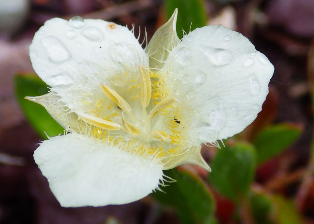
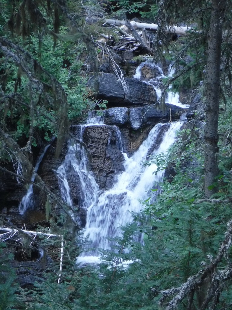
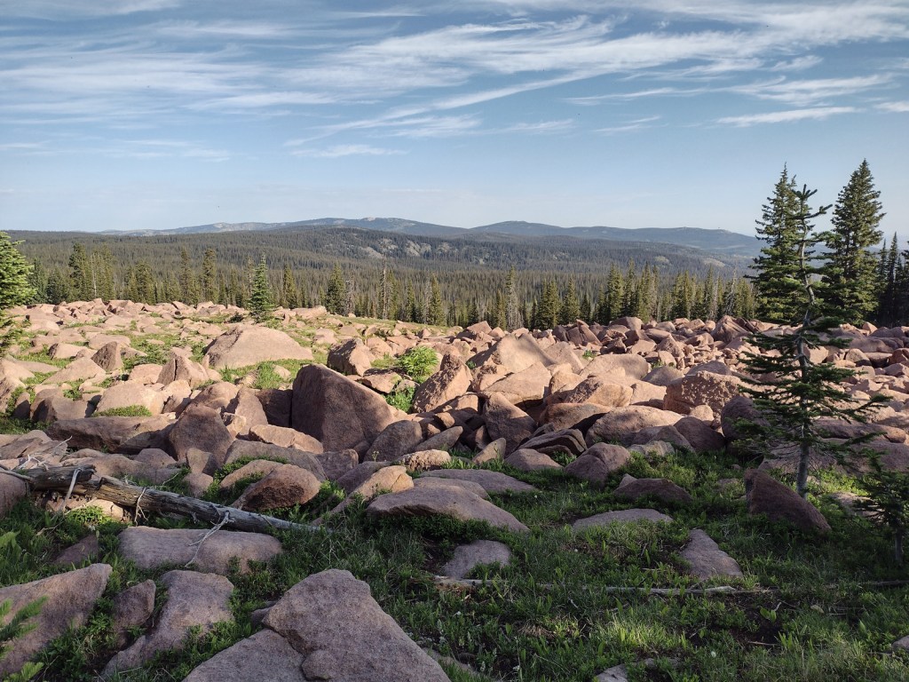
Rocky Mountain National Park, Yellowstone National Park, Glacier National Park, Gila Wilderness, El Malpaís National Monument, South Pass City State Park, Wind River Range, Lemhi Pass, Chinese Wall, Triple Divide Pass
Must-Do Activity
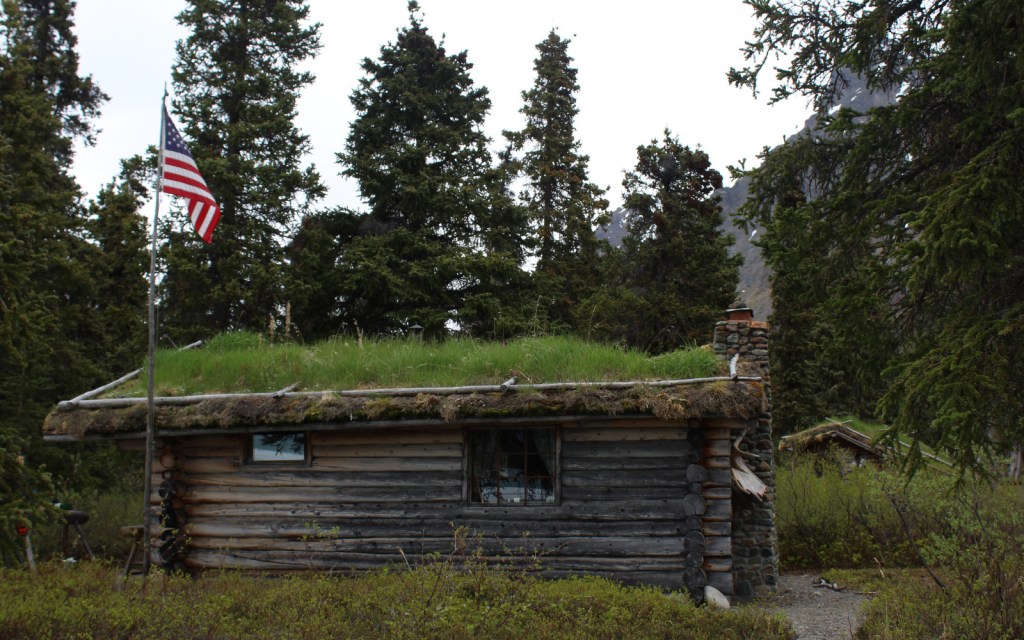
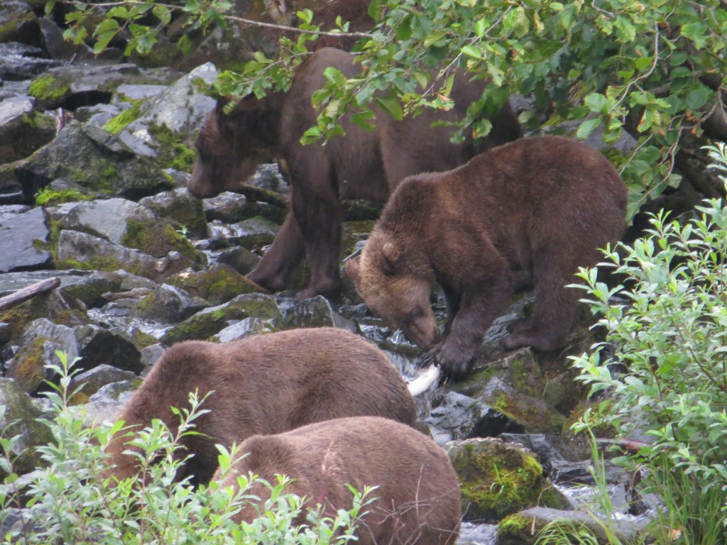
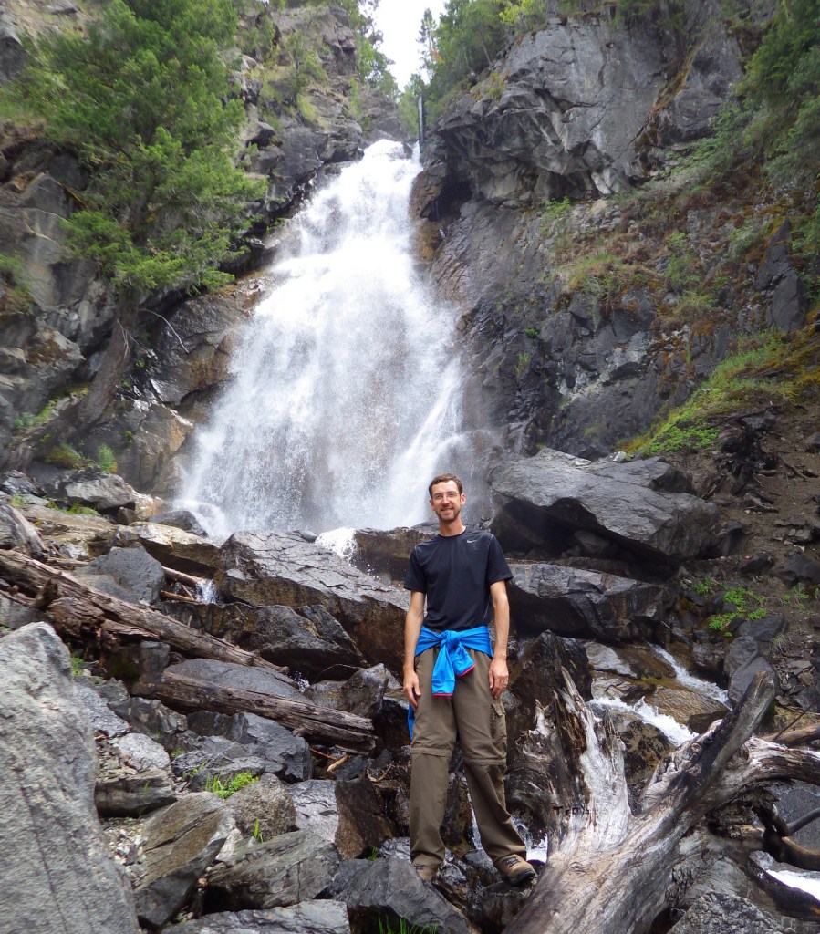
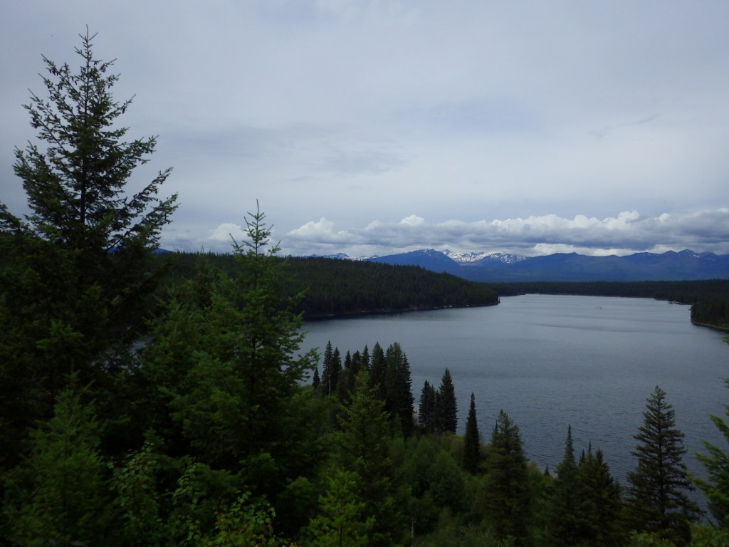
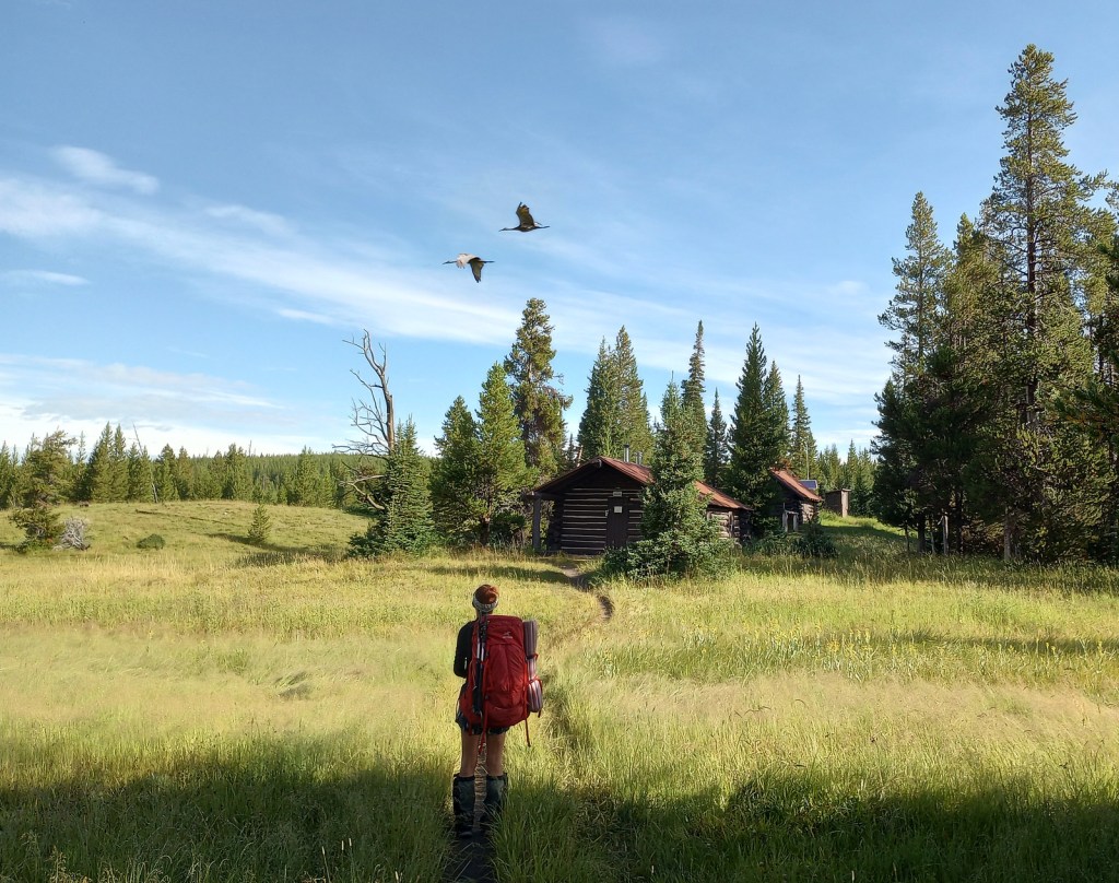
It takes the average thru-hiker 147 days to complete the trek (including “zeros days”), but you can get a feel for the experience on shorter point-to-point or loop hikes. We have done the Rocky Mountain National Park section as a long day hike and Scott has backpacked the minimum 40 miles to see the famous Chinese Wall in Montana’s Lewis and Clark National Forest. We had all three of our backcountry campsites to ourselves along Yellowstone National Park’s 67-mile stretch of CDT and went a full day without seeing another person near the park’s Idaho border.
Best Trail
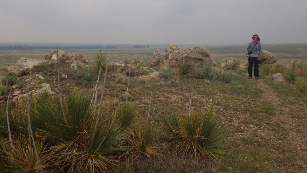
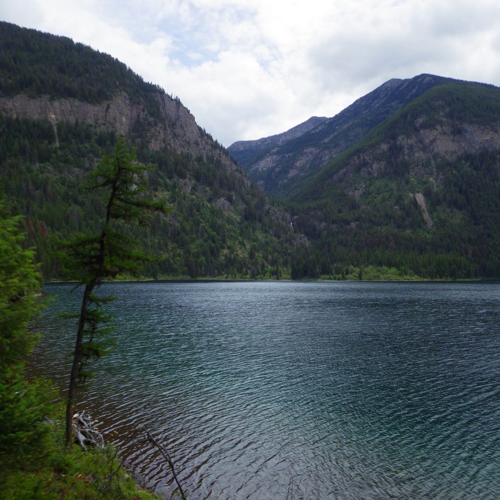
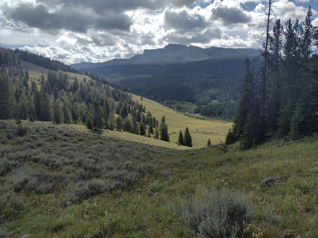
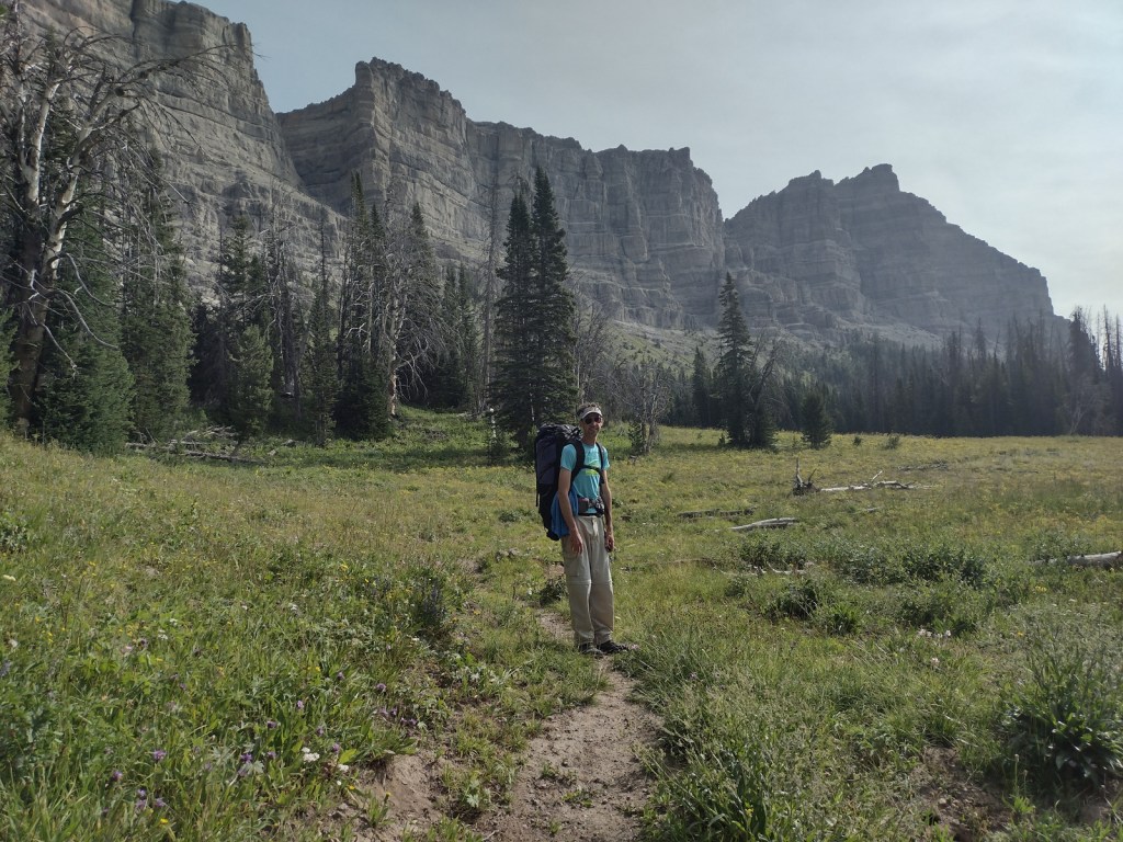
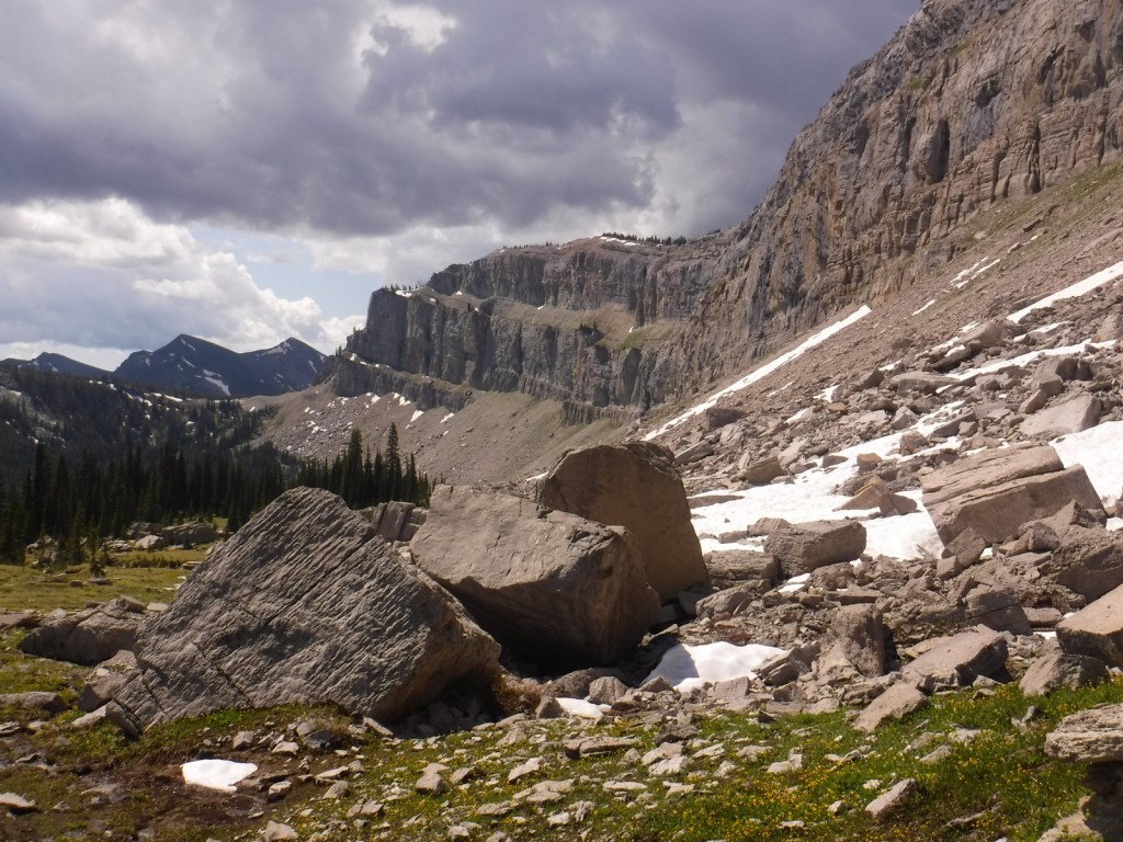
The Wind River Range in Wyoming’s Bridger National Forest is probably the most scenic stretch of mountains on the entire CDT. Many thru-hikers detour to a blue route to see beautiful, but overcrowded Titcomb Basin and the Cirque of the Towers (actually in neighboring Shoshone National Forest). Read more about our 2020 trip (mostly) following the CDT 120 miles through the range in our newspaper article.
Instagram-worthy Photo
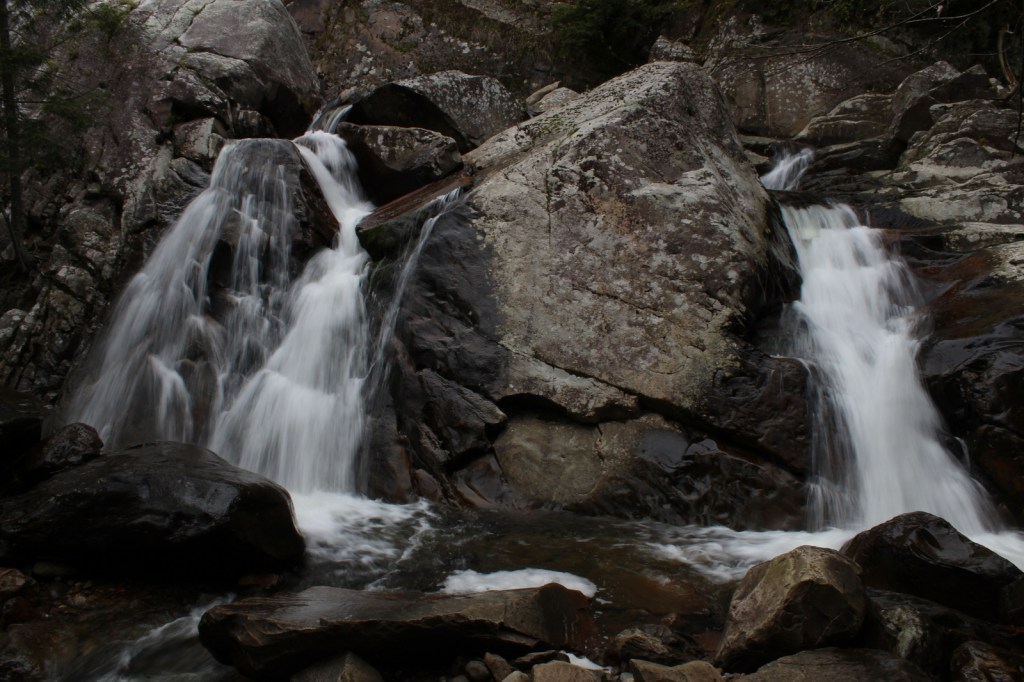
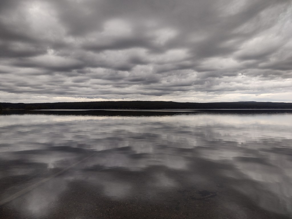
The CDT goes right past crowded Old Faithful in Yellowstone National Park’s Lower Geyser Basin, although there are other areas of colorful hot springs like those near Heart Lake (pictured).

Peak Season
Summer
Fees
Fees apply if you camp inside or drive into Rocky Mountain, Yellowstone, and Glacier National Parks
Road Conditions
Much of the trail is actually walking dirt roads and some paved roads, especially in New Mexico. Access roads to certain trailheads can be very rough and require driving long unpaved sections, such as the 30 miles to busy Big Sandy Trailhead in Bridger National Forest.
Camping
Camping is dispersed except for designated sites (permit required) in Rocky Mountain, Yellowstone, and Glacier National Parks.
Related Sites
Appalachian National Scenic Trail (Georgia to Maine)
Pacific Crest National Scenic Trail (California-Oregon-Washington)
Natchez Trace National Scenic Trail (Mississippi-Alabama-Tennessee)


Explore More – Which three oceans receive water from Triple Divide Pass in Montana?