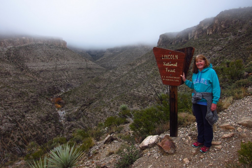
Lincoln National Forest
New Mexico
Managed by U.S. Forest Service, Southwestern Region
1,271,064 acres (1,103,897 federal/ 167,167 other)
Website: https://www.fs.usda.gov/r03/lincoln
Overview
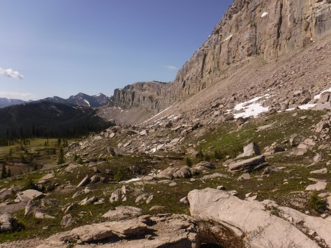
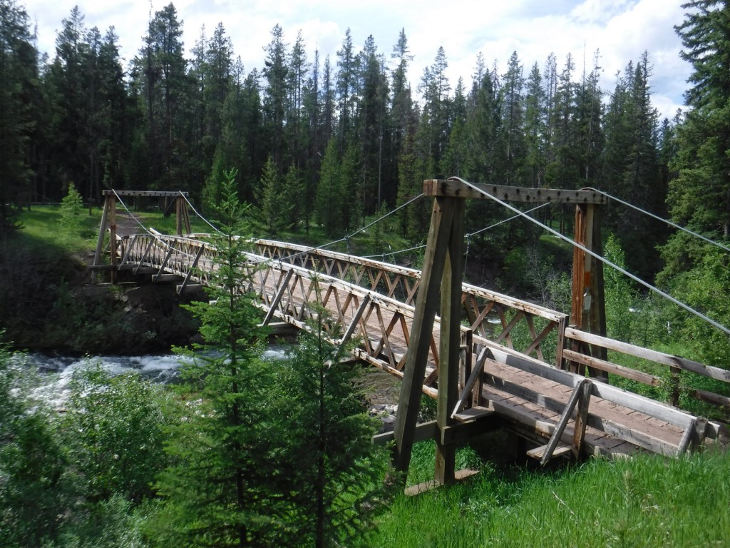
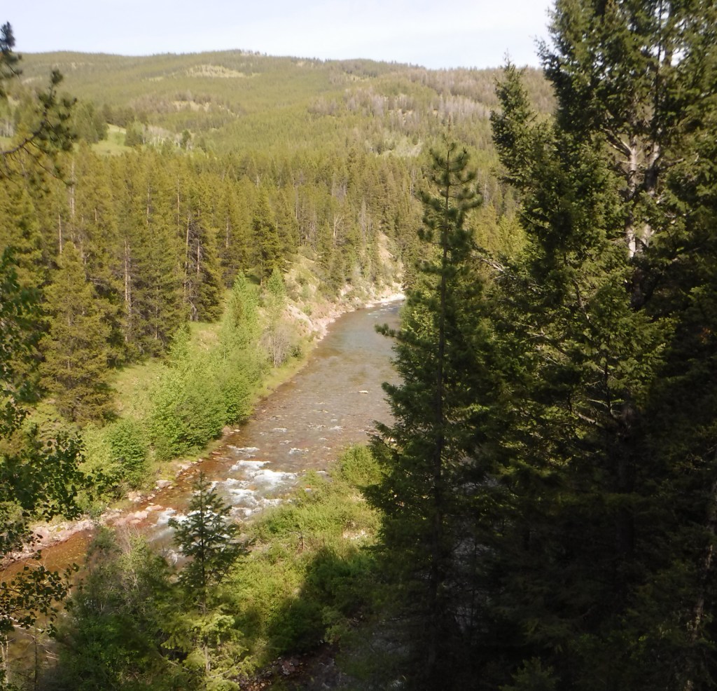
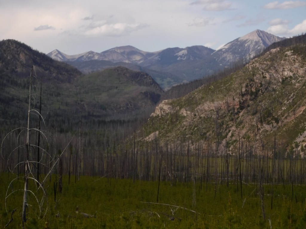
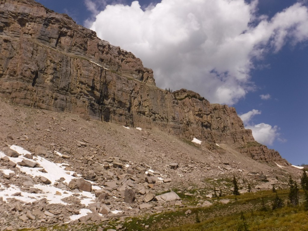
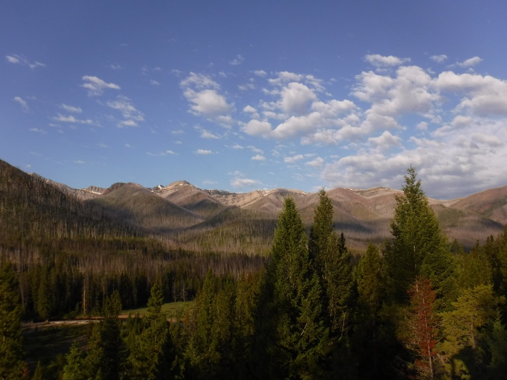
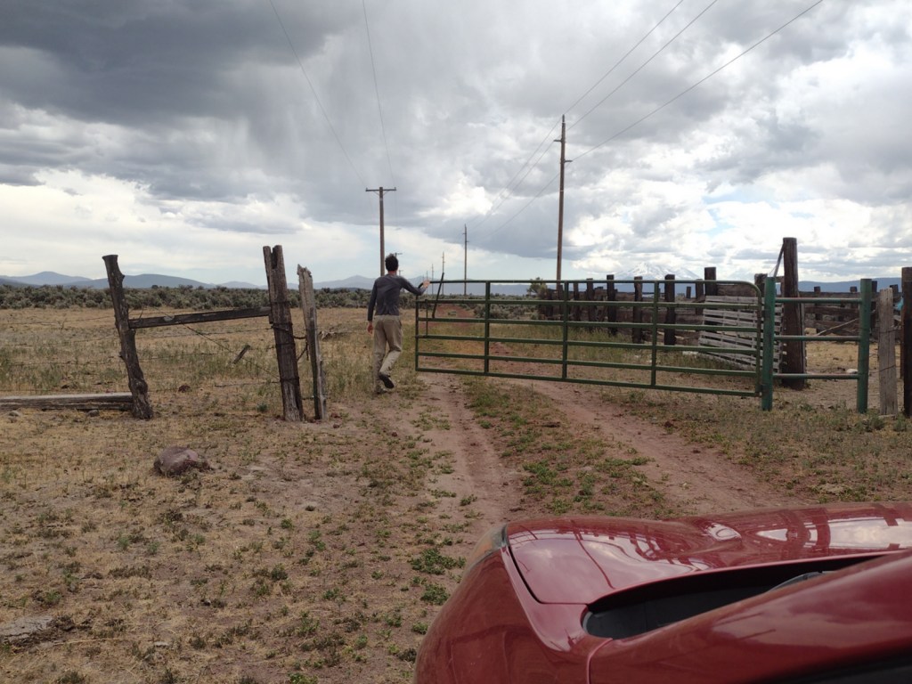
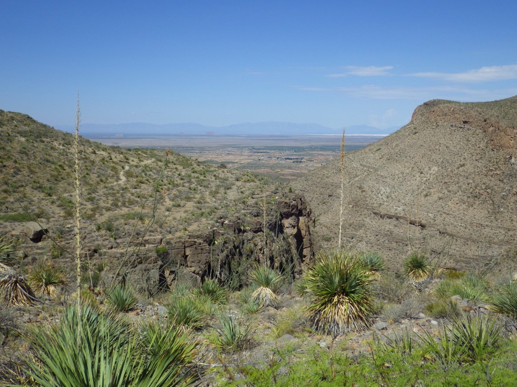
Lincoln National Forest is best known as the birthplace of Smokey Bear, a black bear cub that survived a 1950 wildfire in the Capitan Mountains and became a national symbol. The nearby Smokey Bear Historical State Park is the final resting place for the famous bear that passed away at Washington D.C.’s National Zoo in 1976. Lincoln National Forest includes parts of the Guadalupe, Sacramento, Sierra Blanca/White Mountains, Capitan, and Gallinas ranges. There are several long trails through the National Forest, including the 20-mile Crest Trail in the White Mountain Wilderness and the 11-mile South Base Trail in the Capitan Wilderness. All but one mile of the 29-mile-long Rim Trail is open to OHVs.
Highlights
Sunspot Scenic Byway, Billy the Kid Scenic Byway, Trestle Recreation Area, Sitting Bull Falls, Sierra Blanca Peak, Rim Trail, Willie White Trail, Dog Canyon National Recreation Trail, Capitan Peak Trail
Must-Do Activity
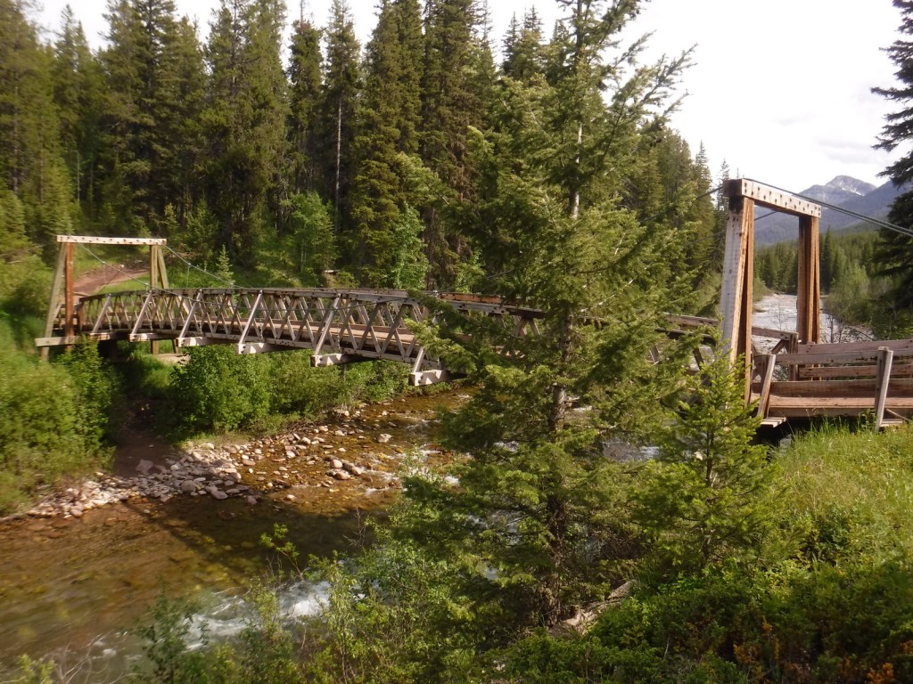
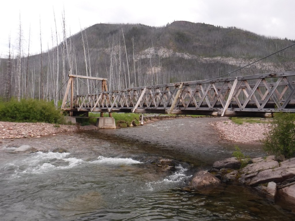
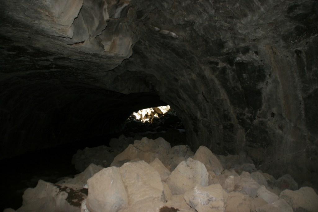
Sunspot Scenic Byway (State Road 6563) provides great views and access to one of the world’s largest solar observatories that is open for tours on summer weekends. At its remote southern end, the National Forest borders both Carlsbad Caverns and Guadalupe Mountains National Parks. Roads only connect with the latter, where a short detour takes you to the half-mile trail for 150-foot-tall Sitting Bull Falls. In 1898, the Alamogordo and Sacramento Mountain Railway was constructed to access timberland 4,747 feet in the mountains above. One of its scenic remnants is the 320-foot trestle over Mexican Canyon near Cloudcroft. Lincoln National Forest has six fire lookouts listed on the National Register of Historic Places, including the stone Monjeau Lookout built by the Civilian Conservation Corps (CCC) that is accessible on a steep dirt road. Given its proximity to Carlsbad Caverns National Park, it is not surprising that there are hundreds of caves in the National Forest that require a permit to explore.
Best Trail
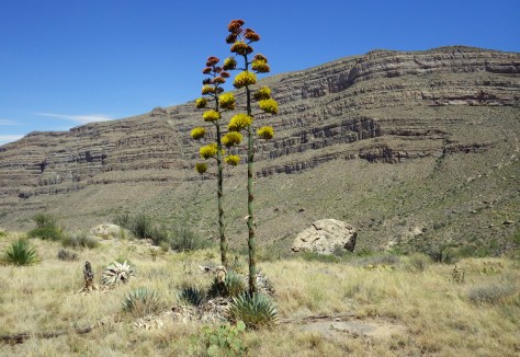
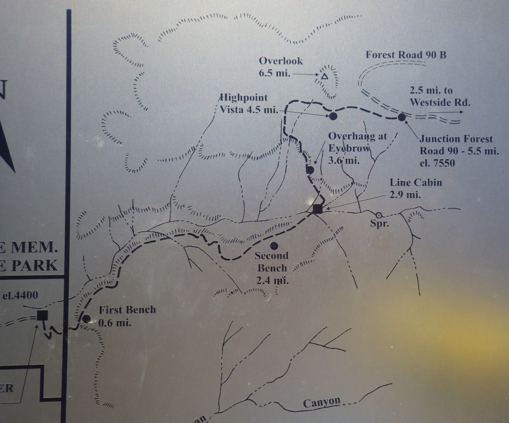
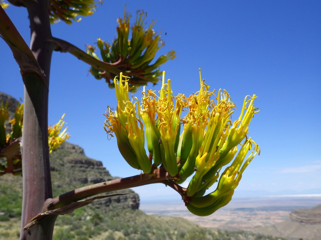
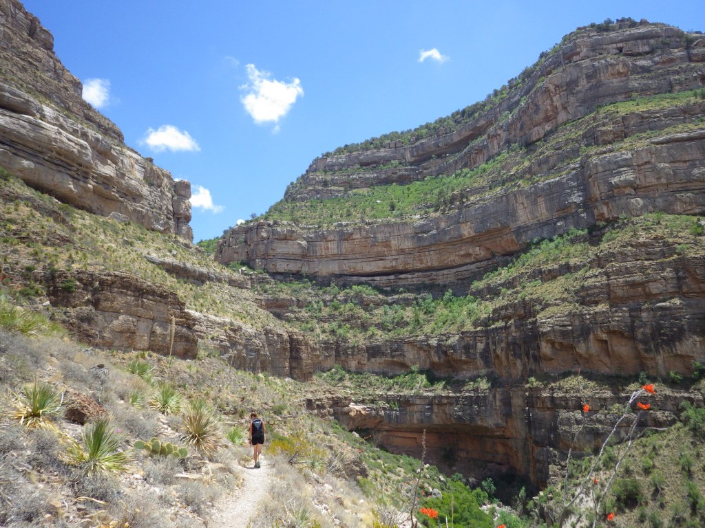
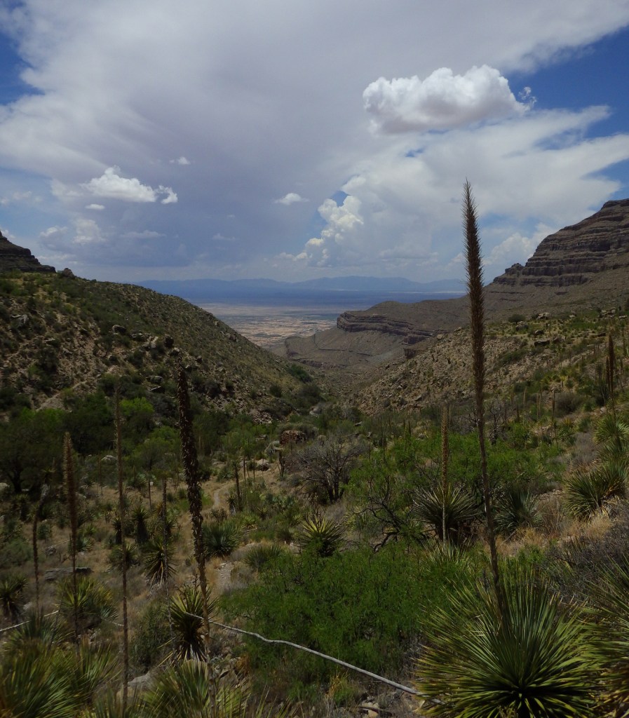
Dog Canyon National Recreation Trail follows a prehistoric travel route into the Sacramento Mountains east of White Sands National Park. The trailhead starts in Oliver Lee Memorial State Park, which has a nice campground and charges a day use fee (though we have seen cars avoid this by parking just outside its entrance). The 5.5-mile one-way trail climbs quickly above a beautiful canyon providing views of the Tularosa Basin before leveling out. Past the cabin ruins at the three-mile point, look for fossils along the trail as it again steeply rises into the agave and cacti-studded mountains. After gaining more than 3,000 feet in elevation, it dead ends at Forest Road 90B.
Watchable Wildlife
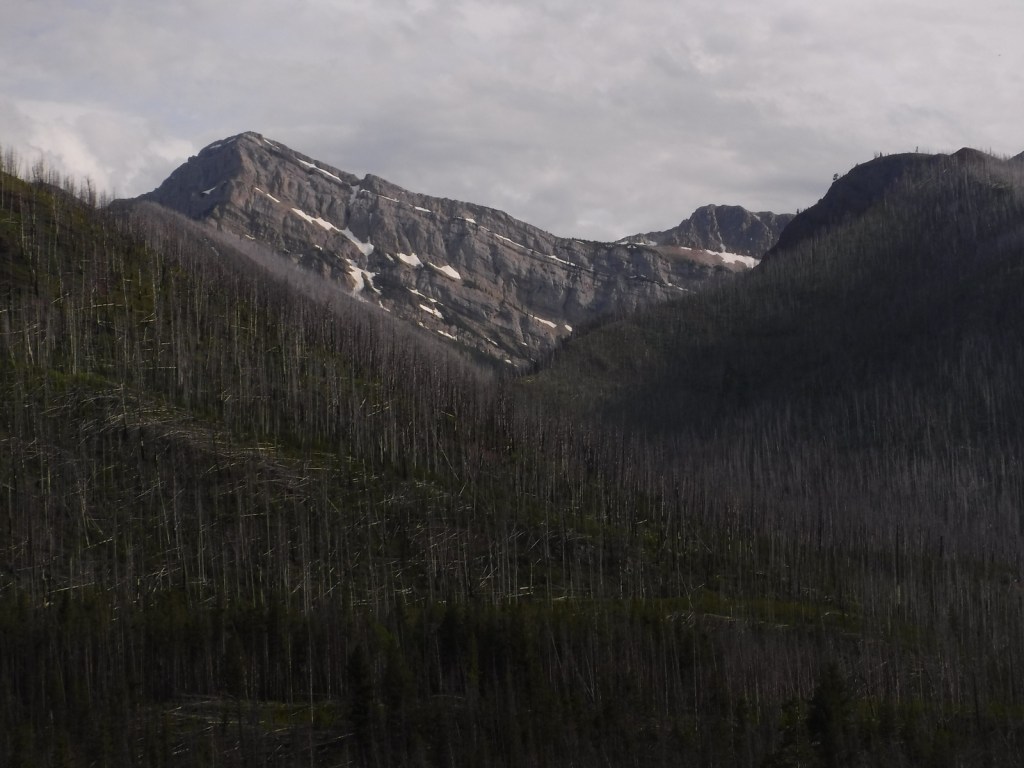
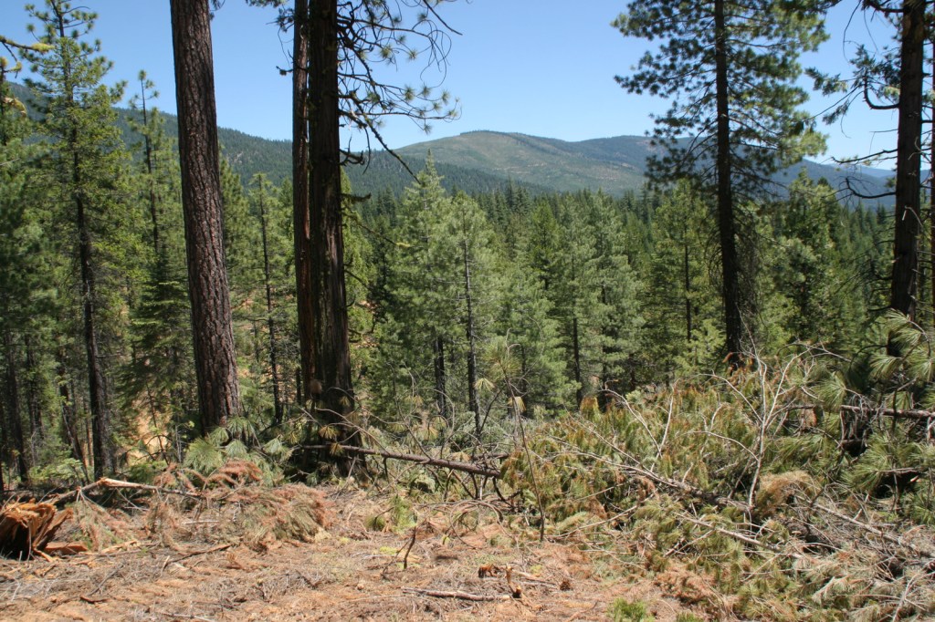
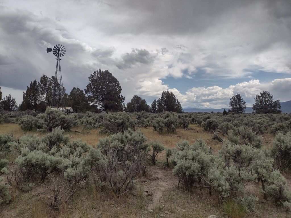
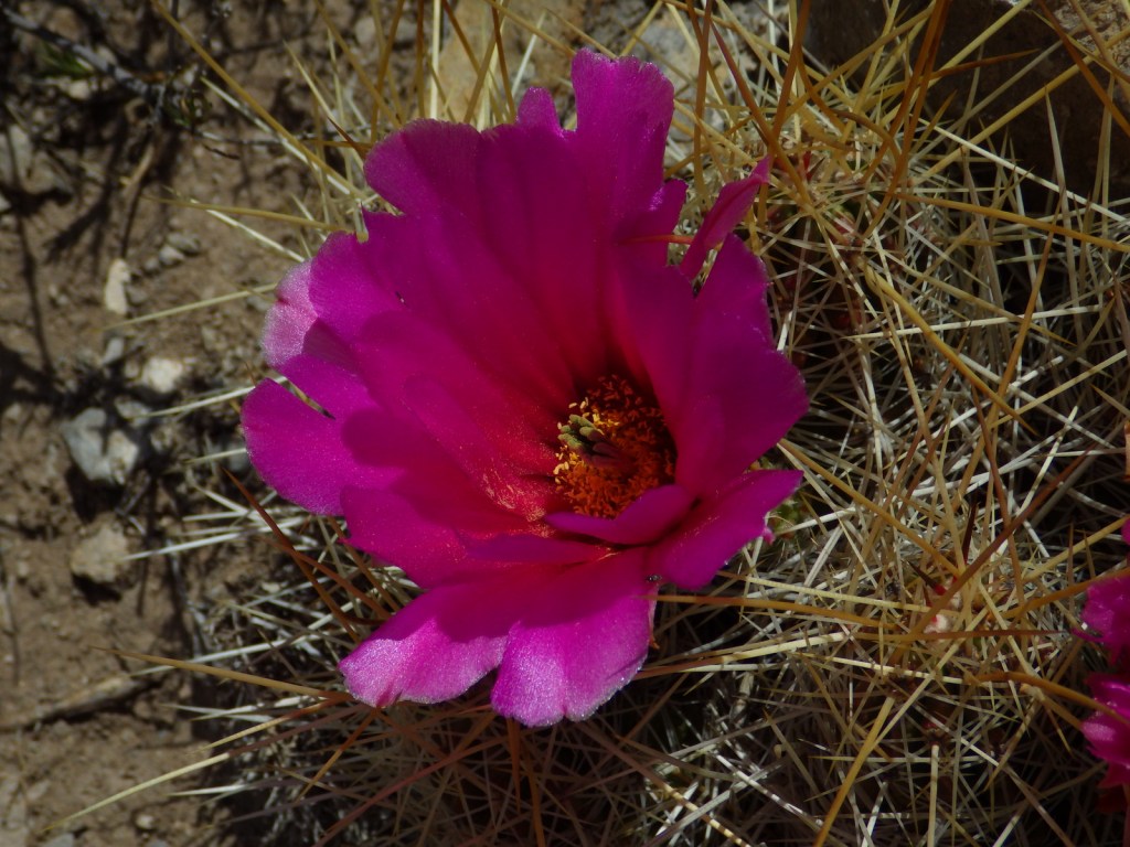
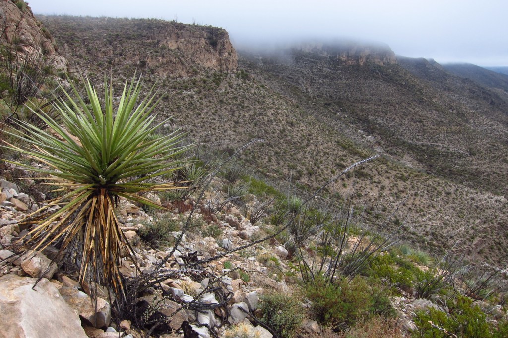
Ecosystems in the National Forest vary widely since it is spread across several mountain ranges and encompasses Chihuahuan Desert, pinyon-juniper woodlands, pine forests, and alpine meadows above 11,000 feet. Game species include elk, mule deer, black bear, mountain lion, and exotic Barbary sheep.
Photographic Opportunity
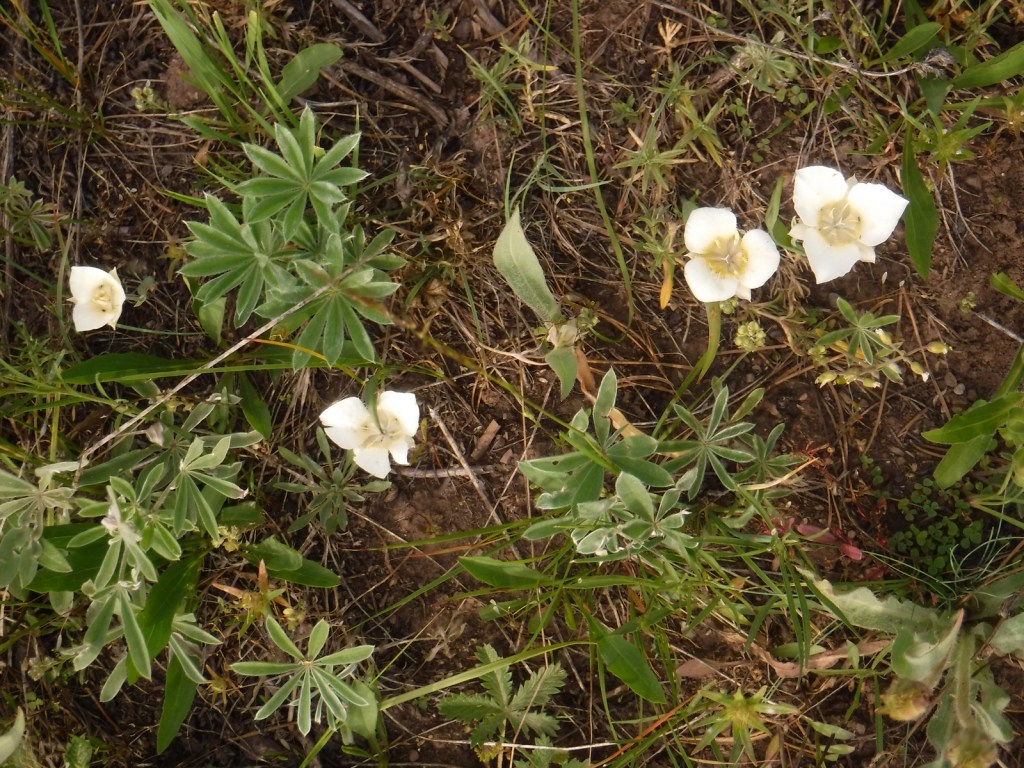
Look for fossils in the rocks along Dog Canyon National Recreation Trail.

Peak Season
Spring and fall
Fees
None
Road Conditions
The Sunspot Scenic Byway and the road into Oliver Lee Memorial State Park are both paved and maintained, although the paved access road (137) through Lincoln National Forest to the north part of Guadalupe Mountains National Park has many potholes in it. Be aware that there are also four-wheel-drive only roads to some trailheads.
Camping
There are a few developed campgrounds in the middle of the National Forest off Highway 82. Although not all areas are open to dispersed camping, popular spots include Upper Bonito Dispersed Camping Area northwest of Ruidoso and Lower Karr Canyon south of Cloudcroft.
Wilderness Areas
Capitan Wilderness
White Mountain Wilderness
Related Sites
Cibola National Forest (New Mexico)
Salinas Pueblo Missions National Monument (New Mexico)
Gila National Forest (New Mexico)
Nearest National Park


ponderosa pine, pinyon pine, limber pine, one-seed juniper, Engelmann spruce, Douglas-fir, white fir
New Mexico locust, quaking aspen, bigtooth maple, Rocky Mountain maple, mountain-mahogany, hophornbeam, Texas madrone
Explore More – What was the Lincoln County War of 1878?

Learn more about this and the 154 other National Forests in our new guidebook Out in the Woods