Tag Archives: wilderness

Green Mountain National Forest

Green Mountain National Forest

Vermont

Managed by U.S. Forest Service, Eastern Region

821,040 acres (399,151 federal/ 421,889 other)

Website: https://www.fs.usda.gov/gmfl

Overview

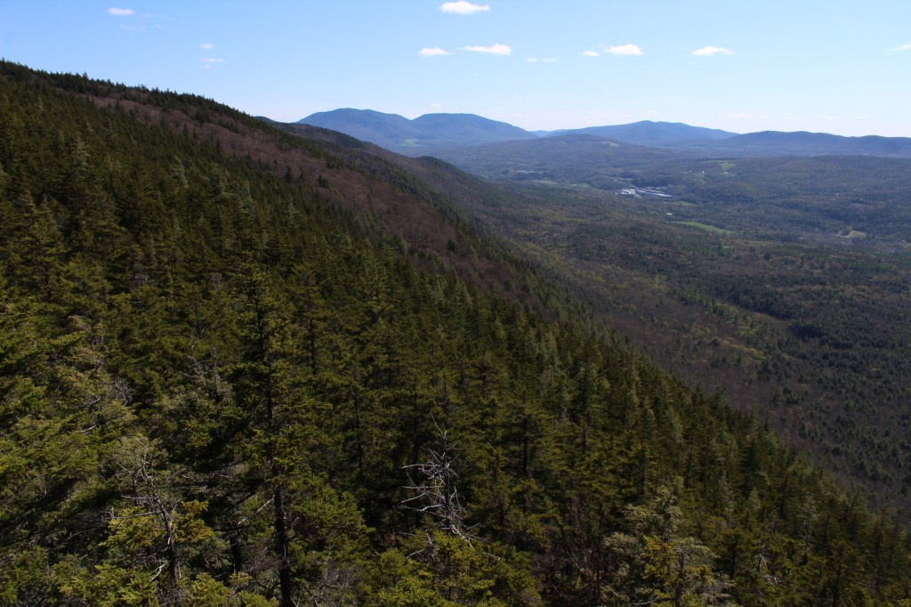
The only National Forest in Vermont is divided into a north and south section, each with its own National Recreation Area.  In the north, Moosalamoo National Recreation Area has the Voter Brook Overlook and trails to the Falls of Lana and Silver Lake, which has a popular backpacking campground.  In the south, Robert T. Stafford White Rocks National Recreation Area includes a portion of the historic Long Trail where the Appalachian National Scenic Trail overlaps it.  Vermont literally translates as Green Mountain from French, the name of the range that forms the state’s granite backbone.  Winter recreation is a big deal here, with three alpine ski areas in the National Forest and seven designated cross-country ski areas, as well as 900 miles of trails for snowshoeing and some areas open specifically for snowmobiling.  Green Mountain National Forest also co-manages Finger Lakes National Forest in central New York.

Highlights

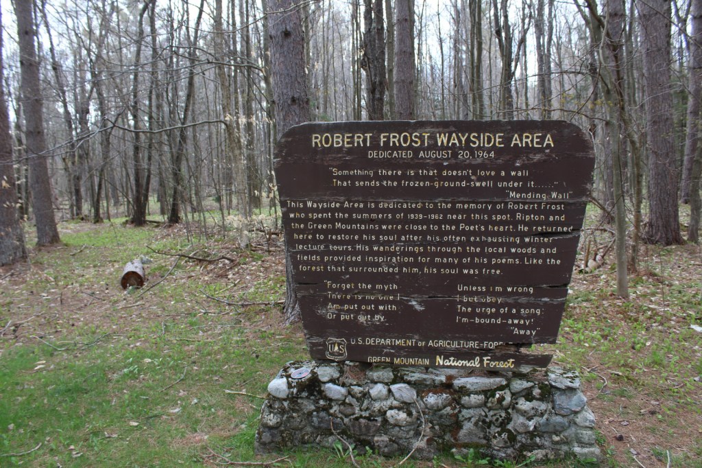
Moosalamoo National Recreation Area, White Rocks National Recreation Area, Hapgood Pond Recreation Area, Texas Falls, Robert Frost Wayside, Voter Brook Overlook, Falls of Lana, Devil’s Den Cave, Lye Brook Falls, Moss Glen Falls, Mt. Ellen, Robert Frost Interpretive Trail, Long Trail, Appalachian National Scenic Trail

Must-Do Activity

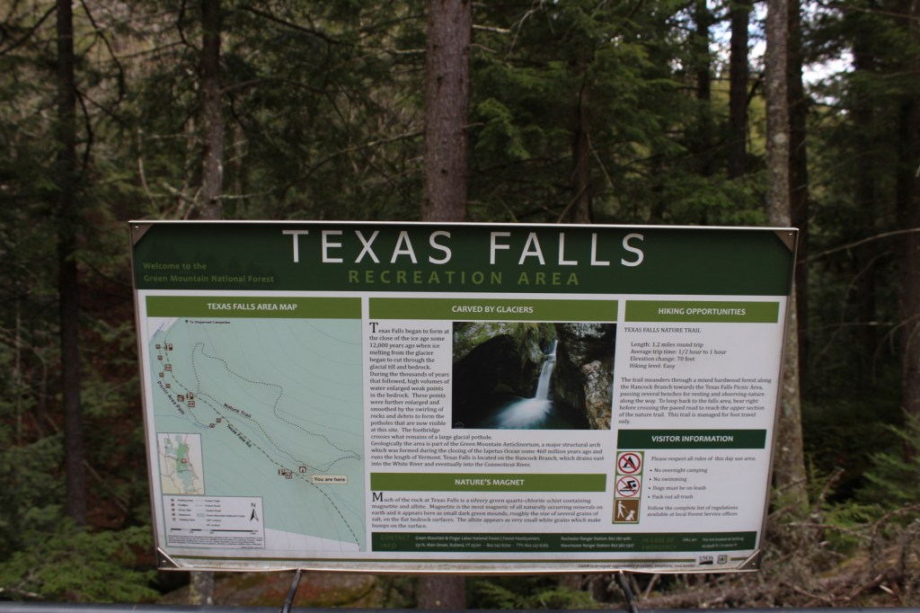
Texas Falls is not located in the right place on the Forest Service visitor app, but it is easy to get to right alongside paved Texas Falls Road off State Route 125.  The falls formed at the end of the Ice Age around 12,000 years ago, when meltwater scoured the quartz-chlorite schist.  A footbridge crosses the Hancock Branch over an interesting glacial pothole in the rock, and a nature trail continues uphill forming a 1.2-mile loop.  We did not make it to Lye Brook Falls or Moss Glen Falls, but found the off-trail Falls of Lana worth the effort (see Moosalamoo National Recreation Area).

Best Trail

Green Mountain National Forest contains about half of the 272-mile Long Trail, which in 1931 became the first named long-distance hiking trail in the U.S.  In Robert T. Stafford White Rocks National Recreation Area, the Long Trail is coincident with the Appalachian National Scenic Trail (AT) with several overnight shelters (some of which charge $5 per person, per night).

Watchable Wildlife

The National Forest contains 450 miles of streams, which is great for trout and salmon fishermen, especially since some wildlife management projects have been done to improve their habitat.  Other work has been completed to support ruffed grouse, wild turkey, black bear, and Bicknell’s thrush.  We were told by a local that there is a black bear named Jenny that hangs out around the White Rocks Day Use Area.  Additional species of interest include moose, white-tailed deer, coyote, porcupine, and beaver.

Instagram-worthy Photo

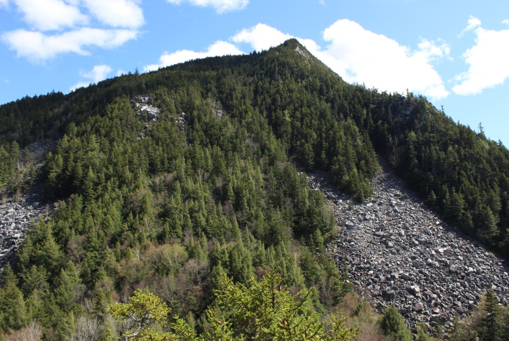
Less than a mile up the Ice Beds Trail, a short climb reaches a viewpoint of the white rocks, a glacier-scoured cliff of Cheshire quartzite that is (part of) the namesake for Robert T. Stafford White Rocks National Recreation Area.

Peak Season

Fall

Fees

Ski areas at Mount Snow, Stratton Mountain, and Bromley Mountain have recreation fees.  Along the Long Trail/AT, there is a camping fee of $5 per person, per night at Little Rock Pond, Peru Peak, Stratton Pond, and Griffith Lake.

Road Conditions

All the gravel roads we drove were in good shape during the spring, including the roads to Voter Brook Overlook and White Rocks Day Use Area.

Camping

One of the most developed parts of the National Forest is at 7-acre Hapgood Pond where there is a campground, swimming beach, and boat ramp.  Moosalamoo Campground has 18 campsites located at the base of the Mt. Moosalamoo Trail, near Voter Brook Overlook.  There are a couple dispersed campsites also on the road, but we had one of our worst nights camping here with college kids blasting music late and another group waking us up before sunrise.  The backpacking campground at Silver Lake is nice, or you can stay at Branbury State Park on Lake Dunmore.

Wilderness Areas

Big Branch Wilderness

Breadloaf Wilderness

Bristol Cliffs Wilderness

George D. Aiken Wilderness

Glastenbury Wilderness

Joseph Battell Wilderness

Lye Brook Wilderness

Peru Peak Wilderness

Related Sites

Marsh-Billings-Rockefeller National Historical Park (Vermont)

Saint-Gaudens National Historical Park (New Hampshire)

White Mountain National Forest (New Hampshire-Maine)

Nearest National Park

Acadia

Conifer Tree Species

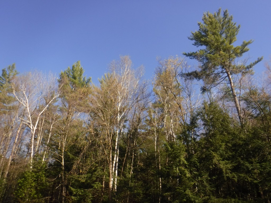
eastern hemlock, eastern white pine, red pine, red spruce, balsam fir

Flowering Tree Species

sugar maple, American beech, yellow birch, white birch, paper birch, mountain ash

Explore More – Texas Falls is located on the Hancock Branch, which feeds the White River that converges with what major river?

Learn more about this and the 154 other National Forests in our new guidebook Out in the Woods

We are a participant in the Amazon Services LLC Associates Program, an affiliate advertising program designed to provide a means for us to earn fees by linking to Amazon.com and affiliated sites.

White Rocks National Recreation Area

Robert T. Stafford White Rocks National Recreation Area

Vermont

Managed by U.S. Forest Service, Eastern Region

22,624 acres

Website: https://www.fs.usda.gov/recarea/gmfl/recarea/?recid=64987

Overview

White Rocks National Recreation Area is located in the southern portion of Vermont’s Green Mountain National Forest and was officially renamed Robert T. Stafford White Rocks National Recreation Area.  It encompasses Big Branch Wilderness, Peru Peak Wilderness, Big Branch Observation Area, and its namesake White Rocks Picnic Area (see Must-Do Activity).  A section of the Long Trail (which in 1931 became the first named long-distance hiking trail in America) passes through this area, where it coincides with the newer Appalachian National Scenic Trail (AT).  Other popular activities include biking, fishing, snowshoeing, cross-country skiing, and snowmobiling.

Highlights

Big Branch Observation Area, White Rocks Day Use Area, Bully Brook, Ice Beds Trail, Keewaydin Trail, White Rocks Cliffs Trail, Greenwall Shelter, Long Trail, Appalachian National Scenic Trail

Must-Do Activity

A great place to access Robert T. Stafford White Rocks National Recreation Area is the White Rocks Day Use Area off State Route 140.  Several trails start from the picnic area, including a short walk to a cascading waterfall on Bully Brook.  Less than a mile up the Ice Beds Trail, a short climb reaches a viewpoint of the white rocks, a glacier-scoured cliff of Cheshire quartzite, which was used by Native Americans to make tools.  Continue on this trail 0.9 miles one-way to the Ice Beds where ice melts deep in a scree slope throughout the summer.  You probably will not see any ice, but it is deep in the rocky recesses and releases cool drafts of air.  We were told by a local that there is a black bear named Jenny that hangs out around the trailhead.

Best Trail

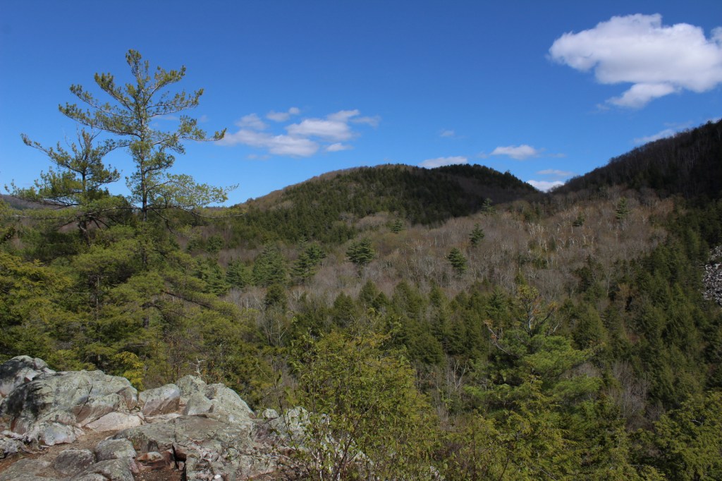
In 0.4 miles from White Rocks Day Use Area, Keewaydin Trail connects with the Long Trail and Appalachian Trail (AT).  By going south, the trail ascends 1,250 feet to a cutoff for the Greenwall Shelter and just past there watch for a stone cairn on the right side.  From there a side trail descends 0.2 miles to an overlook above the White Rock Cliffs providing views of the Adirondack and Taconic Mountains (3.8 miles roundtrip).

Instagram-worthy Photo

Visible less than a mile up the Ice Beds Trail, the white rocks are a glacier-scoured cliff of Cheshire quartzite once used by Native Americans to make tools.

Peak Season

Summer

Fees

None

Road Conditions

State Route 140 is paved, but the access road to White Rocks Day Use Area is an unpaved road passable by RVs.

Camping

Overnight shelters on the Long Trail/AT at Greenwall and Minerva Hinchey are free, while camping at Little Rock Pond, Peru Peak, Stratton Pond, and Griffith Lake requires a $5 per person, per night fee.  Drive-up campgrounds are located on Forest Road 10 at Big Branch and Black Branch near the Big Branch Wilderness.

Related Sites

Green Mountain National Forest (Vermont)

Moosalamoo National Recreation Area (Vermont)

Marsh-Billings-Rockefeller National Historical Park (Vermont)

Explore More – Who was Robert T. Stafford?

Gila National Forest

Gila National Forest

New Mexico

Managed by U.S. Forest Service, Southwestern Region

2,797,628 acres (2,710,659 federal/ 86,969 other)

Website: https://www.fs.usda.gov/gila

Overview

Nearly 25% of Gila National Forest is designated Wilderness, and the renowned Gila Wilderness became the world’s first such-titled area on June 3, 1924.  There are multiple hot springs that attract backpackers to this area and 95% of thru-hikers on the Continental Divide National Scenic Trail (CDT) veer from the official route to enjoy its beauty.  The nearby Aldo Leopold Wilderness is named for the Forest Service ranger that helped campaign for that designation and later became a famous ecologist and author of A Sand County Almanac (see our Top 10 Non-Fiction Books on Trees and Forests).  In 2016, the Cosmic Campground became the first International Dark Sky Sanctuary in North America (and one of only 18 in the world), so it is a great spot for stargazing.  Gila National Forest also manages the part of Arizona’s Apache National Forest that is in New Mexico, adding an additional 614,202 acres.

Highlights

Inner Loop Scenic Byway, Hulsey Lake, Cosmic Campground, Turkey Creek Hot Springs, Lake Roberts, Signal Peak, Quemado Lake, Chimney Rock Canyon, Jordan Hot Springs, Sawmill National Recreation Trail, Catwalk National Recreation Trail, Wood Haul Road National Recreation Trail, Continental Divide National Scenic Trail

Must-Do Activity

You do not have to journey far into the Gila Wilderness to reach Lightfeather Hot Springs on the Middle Fork Trail.  Less than a mile down the trail a shallow pool is formed by stacked rocks where 150-degree hot springs water combines with the cool Middle Fork of the Gila River.  It is a great place to watch and listen to wildlife.  Seven miles further is Jordan Hot Springs, a very popular backpacking destination that requires countless stream crossings (it is best to wear fast-drying shoes and use trekking poles).  The trailhead is located 43 miles north of Silver City on the Inner Loop Scenic Byway, not far from a visitor center co-managed by the Forest Service and National Park Service (that operates nearby Gila Cliff Dwellings National Monument).  The Gila Wilderness is the reason this National Forest made it on our list of the Top 10 National Forests for Backpacking.

Best Trail

The most popular spot in Gila National Forest is the Catwalk National Recreation Trail, which requires driving through two stream crossings that are doable by a passenger car when the water is low.  The one-mile trail is partially elevated above Whitewater Creek on wide, steel grates complete with handrails.  The Catwalk started in 1893 as a way for miners to service a four-inch water pipe, then fell into disrepair before being upgraded by the Civilian Conservation Corps (CCC) in 1935.  Today’s safer, tourist-friendly Catwalk was installed in 1961.  This trail made our list of the Top 10 Day Hiking Trails in National Forests.

Watchable Wildlife

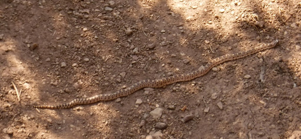
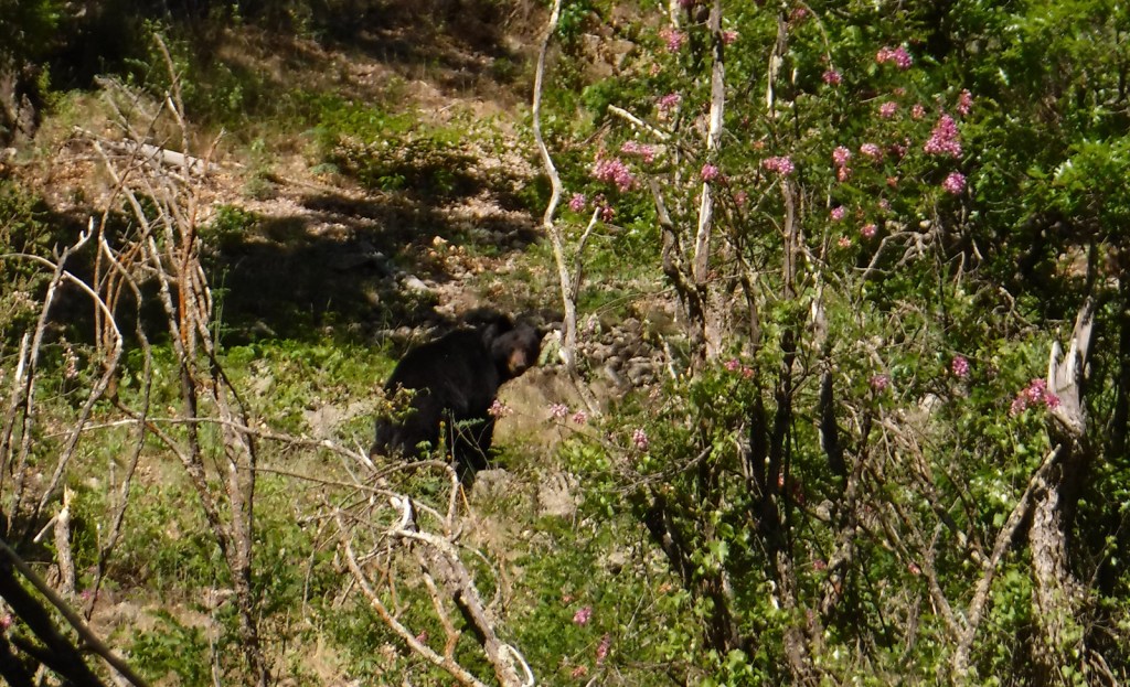
The Gila River gives its name to this National Forest, as well as animals like the venomous Gila monster, Gila woodpecker, and fish, including a trout, topminnow, and several species of chub.  Mexican wolves have been reintroduced to this region, and other predators like mountain lions, bobcats, and black bears (we saw one and followed another’s wet footprints while backpacking near Gila Cliff Dwellings National Monument).  Unique mammals include the javelina (collared peccary), gray fox, white-nosed coatimundi, and Coues white-tailed deer.  Mule deer, elk, pronghorns, and bighorn sheep are additional ungulates found in Gila National Forest.  Large birds include roadrunners, Mexican spotted owls, bald eagles, ospreys, peregrine falcons, and wild turkeys.  Most of our wildlife encounters were with reptiles like horned lizards (a.k.a. frogs or toads), western fence lizards, and rattlesnakes.

Instagram-worthy Photo

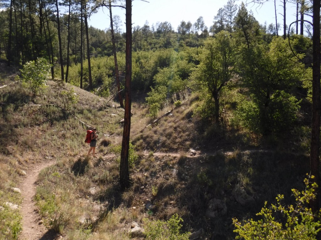
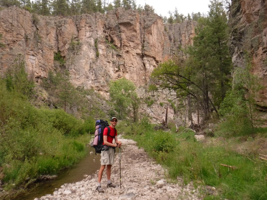
In May 2020, we did a 72-mile backpacking loop connecting the West Fork of the Gila River with the Middle Fork, through gorgeous canyons and old-growth forests protected as the Gila Wilderness since 1924.

Peak Season

Summer

Fees

There is a parking fee at Catwalk National Recreation Trail (or you can display an America the Beautiful Pass), but some cars parked across the river to avoid paying.

Road Conditions

The eastern part of Inner Loop Scenic Byway is paved to the visitor center co-managed by the Forest Service and National Park Service, but the western portion is unpaved and has some steep grades not recommended for RVs.  The unpaved road to Catwalk National Recreation Trail with its two stream crossings is doable with a passenger car when the water is low.

Camping

Cosmic Campground became the first International Dark Sky Sanctuary in North America (and one of only 14 in the world), so it is a great spot for stargazing.  Pueblo Park Campground offers a trail through Chimney Rock Canyon and Upper End Campground is near 72-acre Lake Roberts.  Cottonwood Campground is located near the Blue Range Wilderness on the Arizona border.  In eastern Gila National Forest along Highway 152 are found both Upper Gallinas and Iron Creek Campgrounds.  In the north, there are three campgrounds on 131-acre Quemado Lake and the Continental Divide National Scenic Trail cuts through primitive Apache Creek Campground.

Wilderness Areas

Aldo Leopold Wilderness

Blue Range Wilderness

Gila Wilderness

Related Sites

Gila Cliff Dwellings National Monument (New Mexico)

Apache National Forest (Arizona-New Mexico)

Cibola National Forest (New Mexico)

Nearest National Park

White Sands

Conifer Tree Species

two-needle pinyon pine, ponderosa pine, Chihuahua pine, southwestern white pine, white fir, one-seed juniper

Flowering Tree Species

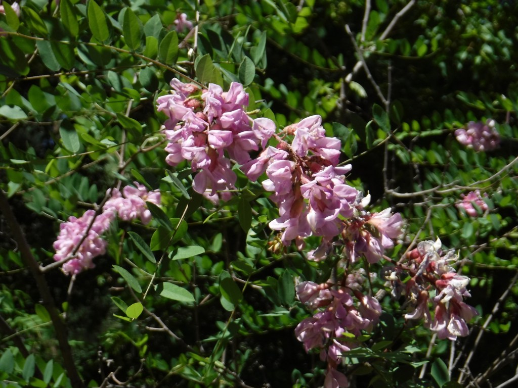
Gambel oak, gray oak, silverleaf oak, New Mexico locust, quaking aspen, narrowleaf cottonwood, Fremont cottonwood, Arizona alder, Arizona sycamore, Arizona walnut, boxelder, velvet ash, netleaf hackberry, mountain-mahogany, chokecherry

Explore More – Gila is a Spanish simplification of the Yuma word “hah-quah-sa-eel,” translated as what?

Learn more about this and the 154 other National Forests in our new guidebook Out in the Woods

We are a participant in the Amazon Services LLC Associates Program, an affiliate advertising program designed to provide a means for us to earn fees by linking to Amazon.com and affiliated sites.

George Washington National Forest

George Washington National Forest

Virginia, West Virginia

Managed by U.S. Forest Service, Southern Region

1,795,084 acres (1,065,369 federal/ 729,715 other)

Website: https://www.fs.usda.gov/gwj

Overview

First established as the Shenandoah National Forest in 1918, George Washington National Forest covers portions of the Blue Ridge and Allegheny Mountains.  It includes the northern 60 miles of the Blue Ridge Parkway and a significant stretch of the Appalachian National Scenic Trail south of Shenandoah National Park.  The National Forest’s proximity to Washington, D.C. and Baltimore makes it a major recreation destination, particularly for trail runners.  It is now co-managed with the more western Jefferson National Forest, together encompassing 230,000 acres of old-growth forests, 139,461 acres of Wilderness areas, and more than 2,000 miles of trails.

Highlights

Mt. Pleasant National Scenic Area, Big Walker Mountain Scenic Byway, Highland Scenic Tour, Massanutten Visitor Center, Sherando Lake, White Rock Creek Falls, Lake Moomaw, Woodstock Tower, Upper Shamokin Falls, Slacks Overlook, High Knob Fire Tower, Maple Flats, Bird Knob Loop Trail, Lion’s Tale National Recreation Trail, Waterfall Mountain Loop Trail, McDowell Battlefield Trail, Big Schloss Trail, Crabtree Falls Observation Trail, Story Book Trail, Pig Iron Loop Trail, Dragons Tooth Trail, Appalachian National Scenic Trail

Must-Do Activity

Driving the Blue Ridge Parkway through George Washington National Forest is a must-do, but there are other attractions to be found in this ridgeline-running forest.  Not far east off Interstate 81, it is a short drive up a gravel road to Woodstock Lookout Tower, where a short, flat trail accesses the metal structure that provides views of the Seven Bends of the Shenandoah River.  Downhill on the eastern side of that ridge (and protected from freeway noise) is the free Little Fort Campground with nine campsites.  There is a charge to ride the Peters Mill Gap and Taskers Run ATV/OHV trails (covering 40 miles) that leave from the campground.  A one-mile hiking trail leaves from Campsite 8 and climbs up to Woodstock Tower.

Best Trail

Crabtree Falls Observation Trail (day use fee) is easy to access from paved State Route 56 east of the Blue Ridge Parkway.  There are actually five waterfalls here with a total drop of 1,200 feet spread over a half-mile.  The first overlook of the lower falls is only 500 feet from the parking lot and is handicap accessible.  From there, the trail switchbacks up 1.7 miles one-way to a fourth and final view of the falls, then continues on another two miles to the Appalachian National Scenic Trail after gaining more than 1,000 feet in elevation. 

Watchable Wildlife

Extensive sections of old-growth forest can be found in Mt. Pleasant National Scenic Area and much of the Rich Hole and Ramsey’s Draft Wildernesses.  This provides habitat for a healthy population of black bears, as well as white-tailed deer, bobcats, raccoons, river otters, martens, and weasels.  Large birds found in George Washington National Forest include wild turkeys, turkey vultures, bald eagles, peregrine falcons, and several types of hawks.  Wetlands, like Maple Flats, are home to cricket frogs, painted turtles, spotted turtles, and many species of salamanders, such as marbled, Cow Knob, Cheat Mountain, Shenandoah, and tiger salamanders.  Over 100 species of freshwater fish reside here, and fishing is popular activity in the Jackson River and 152-foot-deep Lake Moomaw.

Instagram-worthy Photo

With five major cascades dropping 1,200 feet in total, there are plenty of places to catch your breath and snap some photographs along the steep Crabtree Falls Observation Trail.

Peak Season

Spring and fall

Fees

There is a day use fee for hiking Crabtree Falls Observation Trail and riding the Peters Mill Gap and Taskers Run ATV/OHV trails. 

Road Conditions

Parking at Crabtree Falls is paved and RV accessible, and the one unpaved road we took to Woodstock Tower and Little Fort Campground was in good shape.

Camping

There are many designated campgrounds found throughout George Washington National Forest, including the free, nine-site Little Fort Campground not far east off Interstate 81 (see Must-Do Activity).  Although dispersed camping can be hard to find, we read there are sites on the four-wheel-drive road (SR 826) at the top of Crabtree Falls Observation Trail near where it meets the Appalachian National Scenic Trail. 

Wilderness Areas

Barbours Creek Wilderness (also in Jefferson National Forest)

Priest Wilderness

Ramsey’s Draft Wilderness

Rich Hole Wilderness

Rough Mountain Wilderness

Saint Mary’s Wilderness

Shawvers Run Wilderness (also in Jefferson National Forest)

Three Ridges Wilderness

Related Sites

Booker T. Washington National Monument (Virginia)

Cedar Creek and Belle Grove National Historical Park (Virginia)

Jefferson National Forest (Virginia, West Virginia, Kentucky)

Daniel Boone National Forest (Kentucky)

Nearest National Park

Shenandoah

Conifer Tree Species

eastern hemlock, eastern white pine, shortleaf pine, Table Mountain pine, red spruce, eastern redcedar

Flowering Tree Species

tulip-poplar, American beech, shagbark hickory, white oak, black oak, northern red oak, rock chestnut oak, pin oak, yellow birch, gray birch, sweet birch, striped maple, red maple, black gum, sassafras, basswood, flowering dogwood, sourwood, cucumber magnolia, mountain laurel, quaking aspen, paper birch, witch hazel, dwarf willow, winterberry, rhododendron

Explore More – In 1972, what company sponsored the planting of the National Children’s Forest in a burned-out area east of Jordan Mines?

Learn more about this and the 154 other National Forests in our new guidebook Out in the Woods

We are a participant in the Amazon Services LLC Associates Program, an affiliate advertising program designed to provide a means for us to earn fees by linking to Amazon.com and affiliated sites.

Gallatin National Forest

Gallatin National Forest

Montana

Managed by U.S. Forest Service, Northern Region

2,151,461 acres (1,819,515 federal/ 331,946 other)

Website: https://www.fs.usda.gov/main/custergallatin/home

Overview

Gallatin National Forest borders much of the north and west sides of Yellowstone National Park, providing important wildlife habitat in the Absaroka-Beartooth and Lee Metcalf Wilderness areas.  The National Forest also contains portions of the Bridger Range and Crazy Mountains north of Bozeman and Interstate 90.  The Gallatin Petrified Forest is only accessible by trail, either from a short two-mile one-way jaunt (that gains 650 feet of elevation) or by backpacking the 27-mile Gallatin Divide-Devils Backbone Trail.  Free permits are available from Forest Service Ranger Stations to collect up to 20 cubic-inches of petrified wood each year.  Since 2014, it has been co-managed as the Custer-Gallatin National Forest, stretching east into South Dakota.

Highlights

Earthquake Lake Visitor Center, film, Fairy Lake, Devils Slide, Flathead Pass, Big Timber Canyon, Palisade Falls, Spire Rock Campground, Natural Bridge, Kersey Lake, Hardscrabble Peak, Pine Creek Falls, Bridger Mountains National Recreation Trail, Spanish Creek Trail, Red Canyon Trail, Petrified Forest Interpretive Trail

Must-Do Activity

Earthquake Lake Geologic Area stretches along Highway 287 to commemorate the events that occurred around midnight on August 17, 1959 when a magnitude 7.5 earthquake hit West Yellowstone, Montana.  The strongest earthquake ever recorded in the Rocky Mountains caused a hillside to crumble and block the Madison River and form Quake Lake, which is still there today.  Seiches (“lake tsunamis”) on Hebgen Lake and landslides claimed 28 lives and trapped hundreds campers.  The next day, after Forest Service smokejumpers parachuted in to assist survivors, the most seriously injured were evacuated out by helicopter.  Today there is an interpretive auto tour with multiple stops along the highway.  In addition, a visitor center operates in the summer where they show a film and the 0.3-mile Landslide Trail has signs explaining the events and how the massive Memorial Boulder crossed from one side of the valley to the other in less than 20 seconds (see Instagram-worthy Photo).

Best Trail

Pine Creek Falls is located 1.3 miles from the Pine Creek Campground after a 400 foot elevation gain.  The popular route first enters a burned forest then crosses a bridge over the creek at a half-mile before reaching the waterfall where most hikers turn around.  The trail gets steeper as it continues another four miles to Pine Creek Lake climbing about 3,400 feet, including one grueling stretch that ascends 1,800 feet in only 1.3 miles.

Watchable Wildlife

There are more than 4,000 miles of streams and rivers in the National Forest, including major tributaries of the Yellowstone and Missouri Rivers.  This makes Gallatin National Forest one of the premiere fly fishing destinations in the U.S. and also attracts bald eagles and ospreys.  Due to its proximity to Yellowstone National Park, there are also gray wolves and grizzly bears.  Other large mammals include elk, mule deer, moose, bighorn sheep, pronghorns, mountain lions, and black bears.

Instagram-worthy Photo

Memorial Boulder and Sister Boulder used to be located across the valley, but during the 1959 earthquake these six-million-pound dolomite slabs crossed the half-mile distance in less than 20 seconds.

Peak Season

Summer

Fees

None

Road Conditions

The roads are paved up to the Earthquake Lake Visitor Center, Pine Creek Campground, and Big Sky Mountain Village (south of Bozeman).  It is 13 miles (mostly unpaved) from Highway 89 to the Petrified Forest Interpretive Trail, and there is a free campground where Rock Creek Road dead ends at the trailhead.  There are also many miles of four-wheel-drive roads to explore throughout the National Forest.

Camping

There are many campgrounds in Gallatin National Forest (like Eagle Creek just outside Gardiner on the northern border of Yellowstone National Park), as well as dispersed camping options. 

Wilderness Areas

Absaroka-Beartooth Wilderness (also in Custer and Shoshone National Forests)

Lee Metcalf Wilderness (also in Beaverhead National Forest)

Related Sites

Custer National Forest (Montana-South Dakota)

Big Hole National Battlefield (Montana)

BeaverheadDeerlodge National Forest (Montana)

Nearest National Park

Yellowstone

Conifer Tree Species

lodgepole pine, ponderosa pine, whitebark pine, subalpine fir, Douglas-fir, Engelmann spruce

Flowering Tree Species

quaking aspen, balsam poplar, cottonwood, alder, mountain maple, mountain ash

Explore More – Why was the National Forest named after Albert Gallatin?

Learn more about this and the 154 other National Forests in our new guidebook Out in the Woods
We are a participant in the Amazon Services LLC Associates Program, an affiliate advertising program designed to provide a means for us to earn fees by linking to Amazon.com and affiliated sites.