Tag Archives: wilderness

Humboldt National Forest

Humboldt National Forest

Nevada

Managed by U.S. Forest Service, Intermountain Region

2,618,165 acres (2,401,079 federal/ 217,086 other)

Website: https://www.fs.usda.gov/htnf

Overview

Ruby Mountains National Forest was established on May 3, 1906 and two years later it was joined with Independence National Forest to create Humboldt National Forest.  In 1995, Humboldt and Toiyabe National Forests combined their 6.3-million acres to become the largest National Forest outside Alaska.  Spread across separate mountain ranges that rise above the Great Basin Desert, Humboldt National Forest consists of the more northeasterly sections of the two National Forests.  Much of its acreage in the Snake Range was claimed as part of Great Basin National Park in 1986, but it still encompasses 12,050-foot Mt. Moriah. 

Highlights

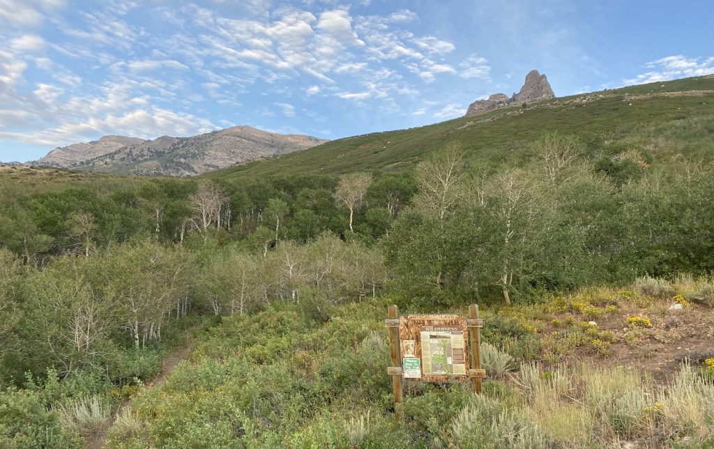
Lamoille Canyon Scenic Byway, Ruby Mountains, Success Loop Drive, Angel Lake, Currant Mountain, Santa Rosa Range, Three Day Creek Trail, Ruby Crest National Recreation Trail

Must-Do Activity

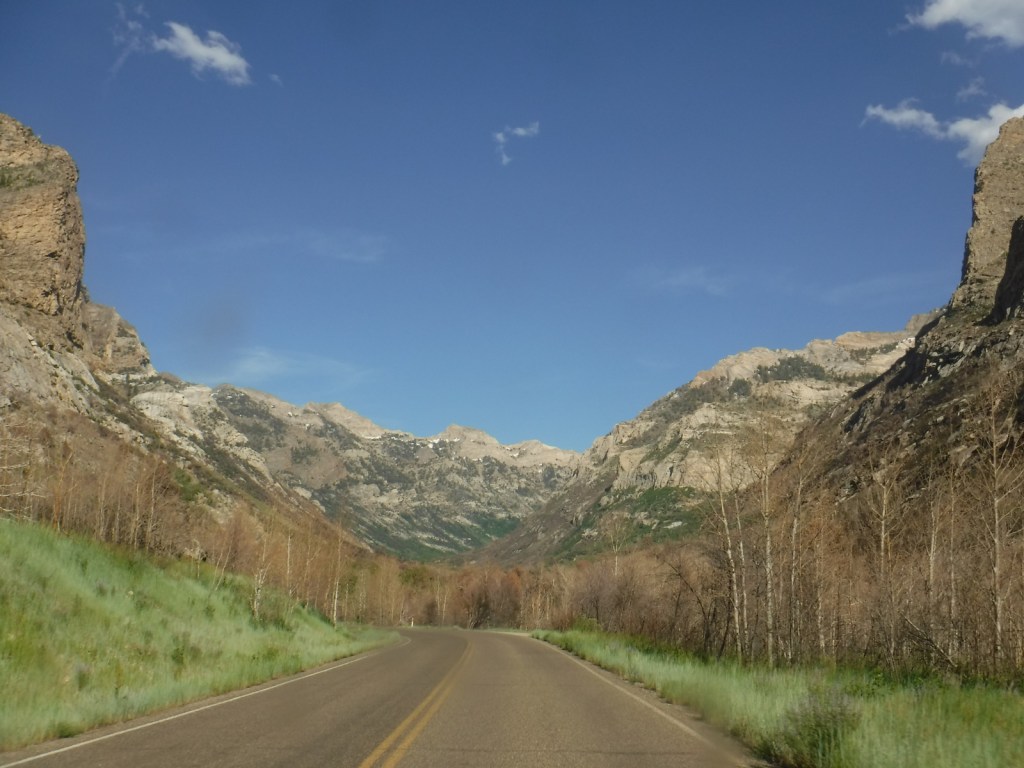
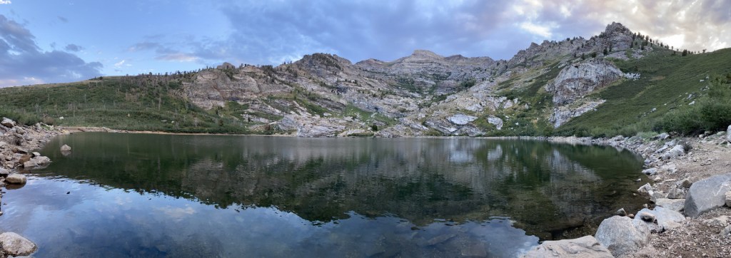
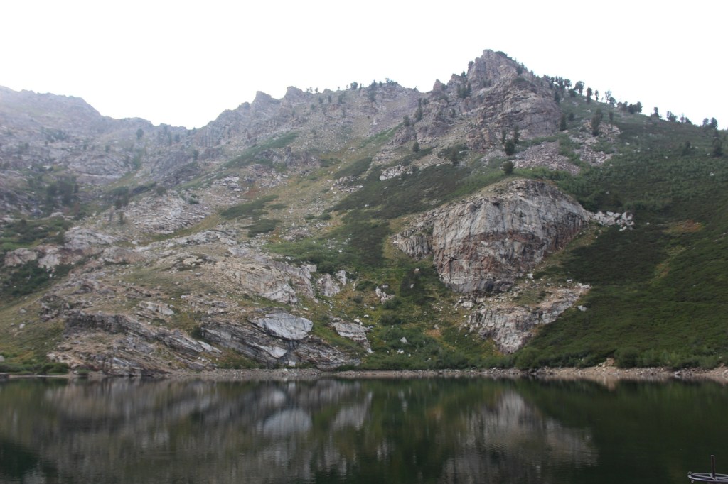
The Ruby Mountains south of Interstate 80 near Elko are perhaps the most accessible area, with roads dead-ending at the gorgeous Angel Lake Campground and after 12 miles on the paved Lamoille Canyon Scenic Byway.  West of Elko on Interstate 80, the Bureau of Land Management (BLM) runs an excellent visitor center dedicated to the California National Historic Trail.  Colorful displays and sculptures make this one of the best government-run museums in the country and admission is free.  It is situated near where the Hastings Cutoff reconnected with the main California Trail following the Humboldt River.  The Hastings Cutoff skirted the eastern edge of the Ruby Mountains and was utilized by the infamous Donner party in 1846.  This same route that crossed Overland Pass was later part of the Pony Express Trail.

Best Trail

Starting at the end of Lamoille Canyon Scenic Byway, the 43-mile-long Ruby Crest National Recreation Trail passes Dollar and Lamoille Lakes as it steeply climbs to Liberty Pass.  You do not need to hike far to appreciate the beauty of the glacier-carved valley ringed by jagged alpine peaks.  The trail ends at Harrison Pass where a road still uses the same route that the Bidwell-Bartleson party took in 1841.  There are long stretches of the trail that do not have access to water, including a ten-mile section from North Furlong Lake to Overland Lake.

Watchable Wildlife

More than 85% of Nevada is federally-owned land run mostly by the military and BLM.  That acreage also includes Ruby Lake and Sheldon National Wildlife Refuges, two of several large refuges in the state.  The lakes there and in Humboldt National Forest provide habitat for trout and other fish, as well as migratory birds like Canada geese and white pelicans.  Chukars and Himalayan snowcocks are two introduced Asian bird species that have become popular targets for hunters.  The steep mountains provide thermals for soaring raptors like red-tailed hawks, Swainson’s hawks, and turkey vultures.  Due to the extreme elevation gradients in the basin and range topography, mammals include desert dwellers like kangaroo rats and alpine residents like American pikas, in addition to the more commonly seen mule deer and coyotes.

Instagram-worthy Photo

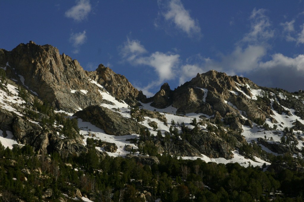
At the end of the 12-mile paved Lamoille Canyon Scenic Byway, you are surrounded by jagged mountains and at the beginning of the 43-mile-long Ruby Crest National Recreation Trail.

Peak Season

Summer

Fees

$5 day-use fee at Angel Lake

Road Conditions

Lamoille Canyon Scenic Byway is paved and the unpaved road to Angel Lake Campground is in good shape.

Camping

The gorgeous Angel Lake Campground made our list of the Top 10 Campgrounds in National Forests, plus there are two designated campgrounds and a couple dispersed campsites along Lamoille Canyon Scenic Byway.

Wilderness Areas

Bald Mountain Wilderness

Currant Mountain Wilderness

East Humboldt Wilderness

Grant Range Wilderness

High Schells Wilderness

Jarbidge Wilderness

Mt. Moriah Wilderness (also managed by BLM)

Quinn Canyon Wilderness

Red Mountain Wilderness

Ruby Mountains Wilderness

Santa Rosa-Paradise Peak Wilderness

Shellback Wilderness

White Pine Range Wilderness

Related Sites

Toiyabe National Forest (Nevada-California)

City of Rocks National Reserve (Idaho)

Lassen Volcanic National Park (California)

Nearest National Park

Great Basin

Conifer Tree Species

Great Basin bristlecone pine, ponderosa pine, Engelmann spruce, California red fir, white fir

Flowering Tree Species

quaking aspen, greenleaf manzanita, sagebrush

Explore More – What was the country of origin of Alexander von Humboldt, a scientist who travelled extensively in the Americas between 1799 and 1804?

Learn more about this and the 154 other National Forests in our new guidebook Out in the Woods

Hoosier National Forest

Hoosier National Forest

Indiana

Managed by U.S. Forest Service, Eastern Region

644,214 acres (202,814 federal/ 441,400 other)

Website: https://www.fs.usda.gov/hoosier

Overview

Southern Indiana’s Hoosier National Forest was created in 1935 from cutover and abandoned farm land.  Six years later an additional 88 acres of old-growth forest was purchased that became Pioneer Mothers Memorial Forest, which has never been cut and is used to study natural succession.  A 0.8-mile trail runs through the woods and accesses the Indiana Pioneer Mothers Memorial and Lick Creek Settlement Site.  The latter was a community of free African-Americans led by the Quaker Jonathan Lindley from 1819 to 1865, and located nearby is an archaeological site where there was a stockaded village in the 1300s. 

Highlights

Pioneer Mothers Memorial Forest, Monroe Lake, Hickory Ridge Lookout Tower, German Ridge Lake, Lick Creek Settlement Site, Sundance Lake, Potts Creek Rockshelter Archeological Site, Lake Tarzian, Rickenbaugh House, Tipsaw Lake, Buzzard Roost Overlook, Clover Lick Barrens, Hardin Ridge Recreation Area, Birdseye Trail, Hemlock Cliffs Trail

Must-Do Activity

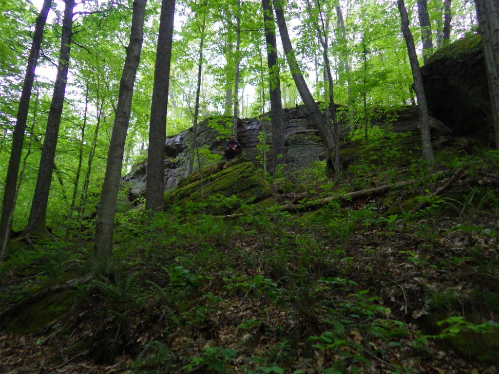
There are 266 miles of trails in Hoosier National Forest, including the 36.3-mile Terrill Ridge Trail that enters the Charles C. Deam Wilderness (Indiana’s one and only) and the 24.1 miles of trails around German Ridge Lake.  Horse camps provide access to miles of bridle trails, including the 48.7-mile Hickory Ridge Trail.  Many of the National Forest’s trails are old roads (even in the Wilderness), so while hiking watch for evidence of house foundations, fences, domestic plants, and cemeteries.

Best Trail

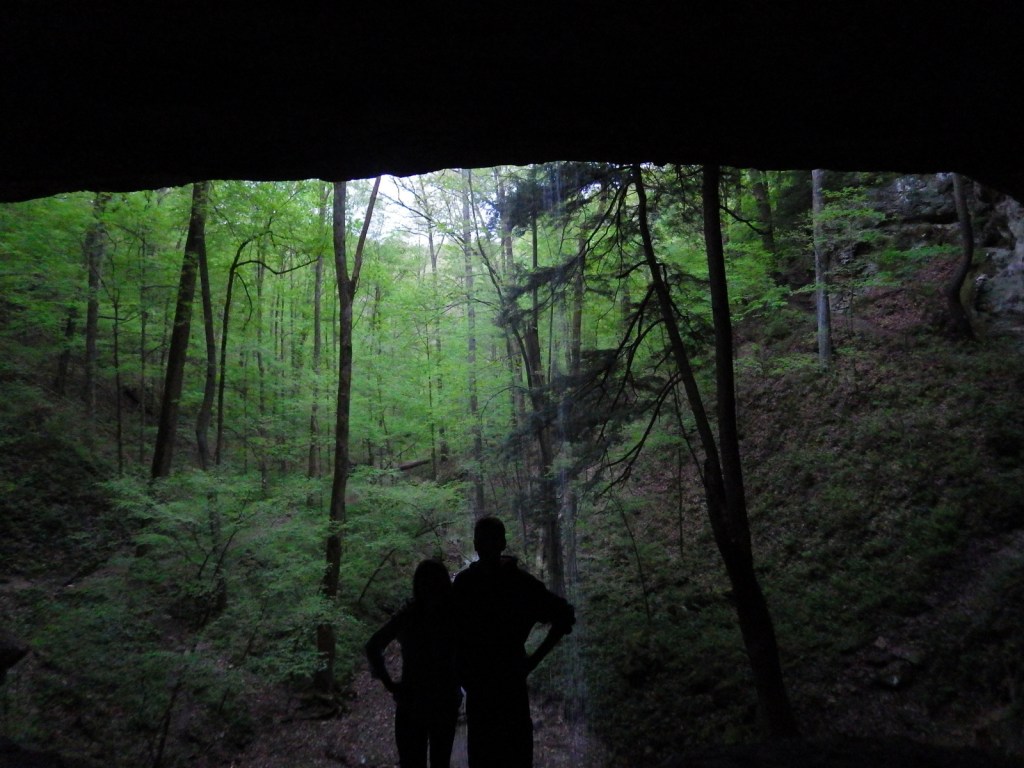
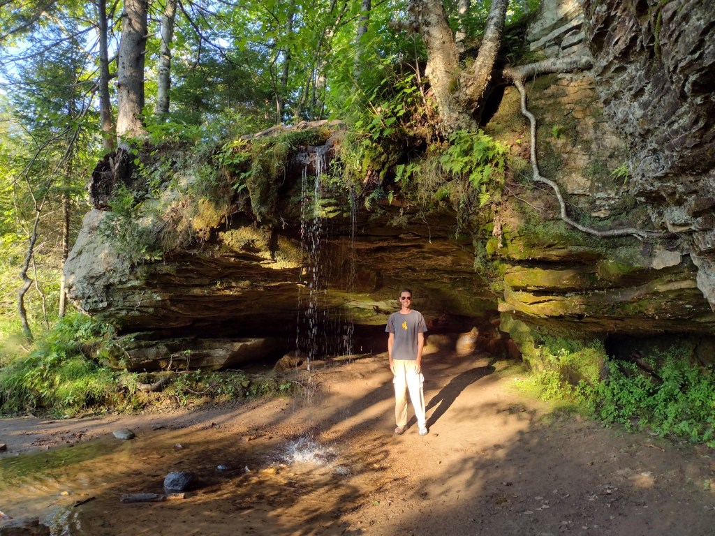
Hemlock Cliffs Trail is a 1.2-mile loop through a sandstone canyon that passes two unique waterfalls.  Tall eastern hemlock trees surround both waterfalls that you can walk behind where the cliffs are undercut by erosion in this crumbly sedimentary rock.  The falls only flow seasonally, but when they do the trail is often muddy and slippery, so take caution. 

Watchable Wildlife

In 1972, wild turkeys were reintroduced to 6,000 acres around Clover Lick Barrens, an area of prairie vegetation.  Other birds of interest include red-shouldered hawks, sharp-shinned hawks, scarlet tanagers, and pileated woodpeckers.  Timber rattlesnakes and copperheads are two venomous snake species found here.  Mammals include fox squirrels, raccoons, and white-tailed deer, which attract hunters in season.

Instagram-worthy Photo

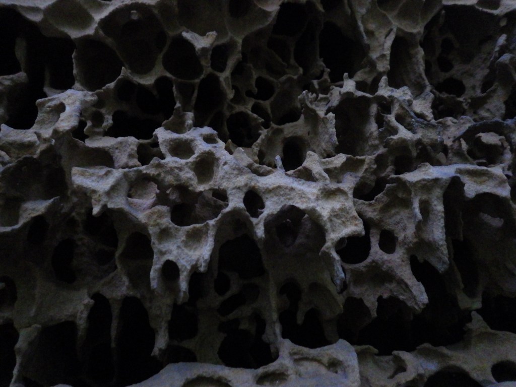
Southern Indiana is known for its Karst topography, which often forms limestone caves, as well as some beautiful Swiss-cheese formations that can be seen along the Hemlock Cliffs Trail.

Peak Season

Summer

Fees

None

Road Conditions

Road access is paved to the pullout for the Pioneer Mothers Memorial Forest, and the unpaved road to Hemlock Cliffs Trailhead was a good enough for our mini-van.

Camping

There are horse camps at Shirley Creek, Blackwell, Hickory Ridge, and Youngs Creek, in addition to other campgrounds dispersed throughout Hoosier National Forest.

Wilderness Areas

Charles C. Deam Wilderness

Related Sites

Shawnee National Forest (Illinois)

Lincoln Boyhood National Memorial (Indiana)

George Rogers Clark National Historical Park (Indiana)

Nearest National Park

Indiana Dunes

Conifer Tree Species

eastern hemlock, eastern white pine, shortleaf pine, eastern redcedar

Flowering Tree Species

American beech, tulip-poplar, basswood, Ohio buckeye, white ash, green ash, American elm, winged elm, black walnut, white oak, northern red oak, black oak, chinquapin oak, rock chestnut oak, post oak, blackjack oak, sugar maple, red maple, ironwood, sassafras, black cherry, black gum, black walnut, honeylocust, Kentucky coffeetree, flowering dogwood, redbud, basswood, sycamore, mockernut hickory, shagbark hickory, pawpaw, slippery elm, butternut, hophornbeam, sweetgum, mountain laurel

Explore More – Who was Charles C. Deam, the namesake for the only Wilderness in Indiana (designated in 1982)?

Learn more about this and the 154 other National Forests in our new guidebook Out in the Woods

Hiawatha National Forest

Hiawatha National Forest

Michigan

Managed by U.S. Forest Service, Eastern Region

1,294,645 acres (894,836 federal/ 399,809 other)

Website: https://www.fs.usda.gov/hiawatha

Overview

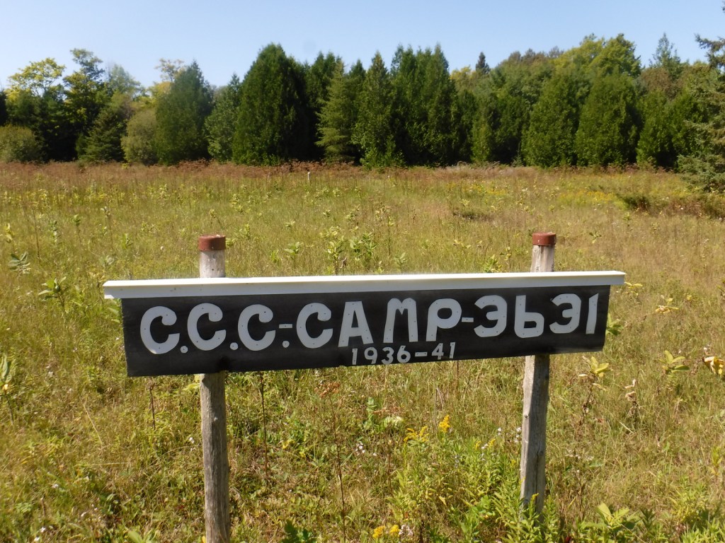
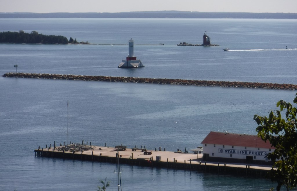
Hiawatha National Forest is separated into two sections on the Upper Peninsula of Michigan, both of which touch Lake Superior and Lake Michigan.  The East Unit also fronts Lake Huron, and includes scenic Round Island Lighthouse near Mackinac Island, as well as beautiful Point Iroquois Light Station.  Most of these sandy soils in the East Unit were never homesteaded, so they were easily designated Marquette National Forest by President Theodore Roosevelt in 1909.  Land purchases for the West Unit began in 1928, and were later replanted by the Civilian Conservation Corps (CCC).  The West Unit includes 13,500-acre Grand Island National Recreation Area (see our blog post) in Lake Superior, a popular destination for camping, biking, and kayaking at the western edge of Pictured Rocks National Lakeshore.

Highlights

Grand Island National Recreation Area, St. Helena Island National Scenic Area, Whitefish Bay Scenic Byway, Point Iroquois Light Station, Scott Falls, Diamond Hill Lookout, Porcupine Nature Trail, Haymeadow Falls Trail, Naomikong Point Blue Trail, North Country National Scenic Trail

Must-Do Activity

Several lighthouses are located along the shores of the Great Lakes, including the picturesque Round Island Lighthouse near touristy Mackinac Island, Point Iroquois Light Station (see Instagram-worthy Photo) on the Whitefish Bay Scenic Byway, and one on private land near Wick Point within Grand Island National Recreation Area (see our blog post).  Further to the west Highway M-28 follows the shores of Lake Superior, where a Wayside Park at the east side of AuTrain Bay provides parking for those wishing to carefully cross the road to see ten-foot-tall Scott Falls.

Best Trail

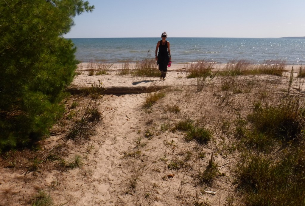
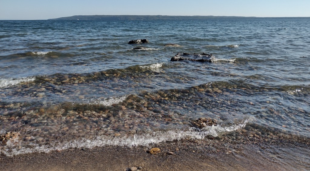
Foley Creek Day Use Area is located just off Interstate 75 at a large pullout along paved Mackinac Trail Road.  A hike starts at the north end of a former campground, and soon the sound of the freeway is dispersed by the trees as you enter the small Horseshoe Bay Wilderness.  The trail has boardwalks across the wettest spots and after 1.4 miles opens up to a secluded sandy beach on Lake Huron with views of Mackinac Island.  Naomikong Point Blue Trail is a popular 3.4-mile out-and-back trail that connects with the North Country National Scenic Trail, crossing Naomikong Creek on a suspension bridge then ending at Menekaunee Point on Naomikong Island.

Watchable Wildlife

These forests are home to gray wolves, black bears, bobcats, Canada lynx, mountain lions, red foxes, coyotes, striped skunks, weasels, minks, river otters, porcupines, beavers, muskrats, snowshoe hares, white-tailed deer, and moose.  Large birds found here include wild turkeys, spruce grouse, ruffed grouse, golden eagles, bald eagles, ospreys, great blue herons, sandhill cranes, and trumpeter swans.  Hiawatha National Forest has more than 100 miles of shoreline on three Great Lakes, offering fishing for walleye, northern pike, muskies, Atlantic salmon, and steelhead trout.  In addition, there are 75 inland lakes and 600 miles of streams, including five National Wild and Scenic Rivers: Carp River, Indian River, Sturgeon River, Tahquamenon River (East Branch), and Whitefish River.  The 0.9-mile Haymeadow Falls Trail loop partially follows a productive trout stream.

Instagram-worthy Photo

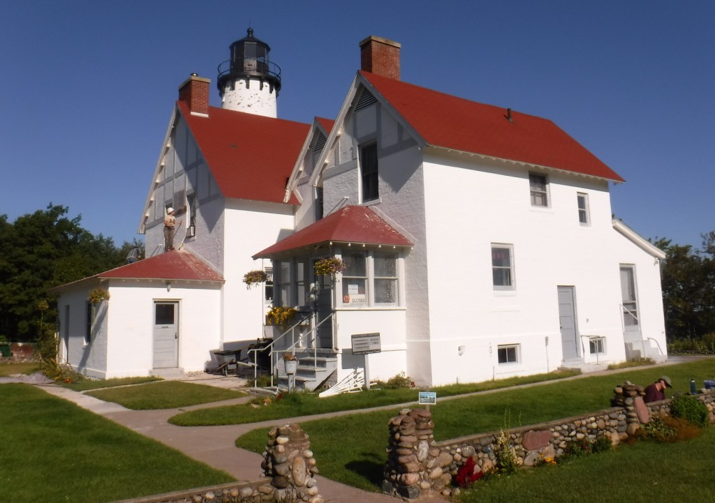
Located on the Whitefish Bay Scenic Byway, the iconic 65-foot Point Iroquois Light Station stands on the shores of Lake Superior at the mouth of St. Mary’s River.  The first lighthouse and residence were built here in 1855, and the current buildings were placed on the National Register of Historic Places in 1975.  When not under construction, you can pay to enter the museum and climb the spiral staircase to the top of the tower.

Peak Season

Summer

Fees

None

Road Conditions

Whitefish Bay Scenic Byway is fully paved, and we found the unpaved roads to Hovey Lake Campground to be in good enough shape for our passenger vehicle.

Camping

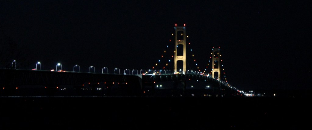
We spent an enjoyable night at the free Hovey Lake Campground and awoke to find a pair of trumpeter swans on the water.  Hiawatha National Forest has many other campgrounds, including two near the Mackinaw Toll Bridge: Lake Michigan (35 campsites) and Carp River (44 sites).  Near the town of Brimley on Lake Superior, Bay View (24 sites) and Monocle Lake (39 sites) Campgrounds are also popular.

Wilderness Areas

Big Island Lake Wilderness

Delirium Wilderness

Horseshoe Bay Wilderness

Mackinac Wilderness

Rock River Canyon Wilderness

Round Island Wilderness

Related Sites

Ottawa National Forest (Michigan)

Keweenaw National Historical Park (Michigan)

Pictured Rocks National Lakeshore (Michigan)

Nearest National Park

Isle Royale

Conifer Tree Species

eastern hemlock, jack pine, eastern white pine, red pine, balsam fir, black spruce, white spruce, eastern arborvitae, tamarack

Flowering Tree Species

basswood, red maple, sugar maple, American beech, quaking aspen, paper birch, white birch, northern red oak, mountain holly

Explore More – The subject of a famous Henry Wadsworth Longfellow poem, who was Hiawatha in real life?

Learn more about this and the 154 other National Forests in our new guidebook Out in the Woods
Helena National Forest

Helena National Forest

Montana

Managed by U.S. Forest Service, Northern Region

1,175,125 acres (984,558 federal/ 190,567 other)

Website: https://www.fs.usda.gov/hlcnf

Overview

Helena National Forest surrounds Montana’s capital city of Helena, encompassing several mountain ranges.  The Big Belt Mountains were the site of the of the 1949 Mann Gulch Fire, which killed 13 smokejumpers who were immortalized in Norman Maclean’s classic book Young Men and Fire (see our Top 10 Non-Fiction Books on National Forests).  There is a Mann Gulch Memorial located in Meriwether Campground.  Much of the National Forest is grassland and sagebrush, with conifer trees dominating the canyons and mountain slopes.  In the winter, snowmobiling, snowshoeing, and cross-country skiing are popular pastimes.

Highlights

Gates of the Mountains, Mann Gulch Memorial, Lewis and Clark National Historic Trail Interpretive Center, Gypsy Lake, Crow Creek Falls, Elkhorn Mountains, Blackfoot Canyon, Red Mountain, Refrigerator Canyon, Hanging Valley National Recreation Trail, Meriwether Canyon Trail

Must-Do Activity

Meriwether Lewis named the Gates of the Mountains on July 19, 1805, and today a two-hour jet boat tour on the Missouri River details the history of the Corps of Discovery, American Indian pictographs, the Mann Gulch Fire, and the collapse of Hauser Dam.  North of Helena on Interstate 15 in Great Falls is the Lewis and Clark National Historic Trail Interpretive Center, which is run by the U.S. Forest Service.

Best Trail

Refrigerator Canyon is less than ten feet wide at its narrowest point, where towering 200-foot limestone cliffs keep it cool and breezy throughout the summer.  The trailhead is accessed by driving 12 miles of washboard road that turns left off paved York Road just after crossing near the dam that forms Hauser Lake on the Missouri River.  It is a short quarter-mile hike to reach the canyon’s pinch point that was full of rock climbers during our visit.  The route then gets steeper, gaining 1,100 feet in two miles and providing excellent mountain views.  The trail eventually levels out and continues for another seven miles past Bear Prairie in the Gates of the Mountains Wilderness.  It can be connected to the Meriwether Canyon Trail, which dead ends at the Missouri River 18 miles from the Refrigerator Canyon Trailhead.

Watchable Wildlife

Grizzly bears can be found in the Scapegoat Wilderness in the northwest part of Helena National Forest where it borders Lewis and Clark National Forest (considered part of the massive Bob Marshall Wilderness complex connecting to Glacier National Park).  Other predators include black bears, gray wolves, wolverines, ermine, mountain lions, bobcats, and Canada lynx.  River otters and beavers can be found on the Missouri River.  Grazing ungulates commonly seen are elk, moose, mule deer, and pronghorn, in addition to bighorn sheep and mountain goats at higher elevations.  Trout streams and lakes provide fishing opportunities for humans, as well as bald eagles and ospreys.

Instagram-worthy Photo

You might see rock climbers blocking narrow Refrigerator Canyon, but be sure to continue through on the steep trail for beautiful views of the Gates of the Mountains Wilderness.

Peak Season

Summer

Fees

None

Road Conditions

The washboard road back to Refrigerator Canyon was in good enough shape for our passenger vehicle.

Camping

A Mann Gulch Memorial is located in Meriwether Campground, plus there are numerous other campgrounds and dispersed campsites located throughout the National Forest’s network of unpaved roads.

Wilderness Areas

Gates of the Mountains Wilderness

Scapegoat Wilderness (also in Lewis and Clark National Forest)

Related Sites

Beaverhead National Forest (Montana)

Deerlodge National Forest (Montana)

Flathead National Forest (Montana)

Nearest National Park

Glacier

Conifer Tree Species

lodgepole pine, ponderosa pine, limber pine, whitebark pine, Rocky Mountain juniper, Douglas-fir, alpine larch, subalpine fir

Flowering Tree Species

quaking aspen, balsam poplar, narrowleaf cottonwood, Rocky Mountain maple, paper birch, willow, red-osier dogwood, choke cherry

Explore More – Before it changed its name to Helena in 1864, what was the name of the gold mining camp that became Montana’s state capital?

Learn more about this and the 154 other National Forests in our guidebook Out in the Woods

Gunnison National Forest

Gunnison National Forest

Colorado

Managed by U.S. Forest Service, Rocky Mountain Region

1,766,941 acres (1,671,941 federal/ 95,000 other)

Website: https://www.fs.usda.gov/gmug

Overview

Gunnison National Forest surrounds the town of Crested Butte, a prime destination for mountain bikers and winter sports enthusiasts.  It also shares mountainous borders and four of its eight designated Wilderness areas with neighboring Rio Grande, San Isabel, Uncompahgre, and White River National Forests.  It was originally called the Cochetopa Forest Reserve, created by President Teddy Roosevelt on June 13, 1905.  It is now co-managed with the Grand Mesa and Uncompahgre National Forests.

Highlights

Silver Thread Scenic Byway, Slumgullion Slide, Mt. Emmons Iron Bog, Taylor Park Reservoir, San Luis Peak, Fossil Ridge Recreation Area, Gothic Research Natural Area, Judd Falls, Alpine Tunnel, Mineral Creek Trail

Must-Do Activity

Much of the area was mined in the past, so there are many miles of four-wheel-drive roads to explore over mountain passes like Tomichi, Hancock, Taylor, Tincup, and Pearl Pass.  Near the Victorian-era town of Lake City, the famous Slumgullion Slide crosses Highway 149 where a massive earth flow created Lake San Cristobal about 700 years ago.  Visible from a pullout at Windy Point, a secondary flow of sludgy montmorillonite continues to move trees downslope to this day.

Best Trail

Just past the Bureau of Land Management (BLM) recreation site at Needle Rock, a gravel road enters Gunnison National Forest where two trailheads afford entrance into the West Elk Wilderness.  Throughline Trail heads northeast toward 12,719-foot Mt. Gunnison, but it can be connected with the Lone Pine Trail at the 3.5-mile point to form a loop with Sink Creek Trail (a total of 13 miles roundtrip).  We hiked a portion of Sink Creek Trail in late September when the aspen trees were changing colors and found a nice place for dispersed camping near the South Smith Fork Trailhead (high-clearance vehicle recommended).

Watchable Wildlife

There are presumably elk in the mountainous West Elk Wilderness, as well as mule deer and bighorn sheep (a herd overwinters near the junction of the East and Taylor Rivers).  Mountain lions, black bears, and pine martens also inhabit Gunnison National Forest.  On our hikes we came across a gopher snake and a dam built by a beaver.  Watch the skies for raptors like golden eagles, red-tailed hawks, and peregrine falcons.

Instagram-worthy Photo

A good gravel road east of Crawford leads into Gunnison National Forest past Needle Rock Outstanding Natural Area, run by the Bureau of Land Management (BLM).  The landmark is a 28-million-year-old volcanic plug which can be explored on a steep trail that does not completely circle it because of private land.

Peak Season

Summer and fall

Fees

None

Road Conditions

Several paved highways crisscross the National Forest, including a stretch of the Silver Thread Scenic Byway.  Not every back road requires a high-clearance vehicle, as good graded roads go over Kebler Pass, Ohio Pass, and Cumberland Pass into the town of Pitkin.  Popular four-wheel-drive routes include Pearl Pass Road, Old Monarch Pass Road, and Schofield Pass north into Crystal Canyon. 

Camping

There are many nice campgrounds in Gunnison National Forest, including Slumgullion Campground at 11,200 feet, Lost Lake Campground next to a wildflower meadow, and Dorchester Campground on the road to 11,928-foot Taylor Pass (accessible by four-wheel-drive vehicles).  Dispersed camping is also allowed throughout the National Forest; we found a nice spot near the South Smith Fork Trailhead (high-clearance vehicle recommended).

Wilderness Areas

Collegiate Peaks Wilderness Area (also in San Isabel National Forest)

Fossil Ridge Wilderness

La Garita Wilderness (also in Rio Grande National Forest)

Maroon Bells-Snowmass Wilderness (also in White River and San Isabel National Forests)

Powderhorn Wilderness (also on BLM land)

Raggeds Wilderness (also in White River National Forest)

West Elk Wilderness

Uncompahgre Wilderness (also in Uncompahgre National Forest)

Related Sites

Arapaho National Forest (Colorado)

Colorado National Monument (Colorado)

Grand Mesa National Forest (Colorado)

Nearest National Park

Black Canyon of the Gunnison

Conifer Tree Species

Engelmann spruce, subalpine fir, Douglas-fir, ponderosa pine, lodgepole pine, two-needle pinyon pine, Rocky Mountain juniper

Flowering Tree Species

Gambel oak, quaking aspen, Utah serviceberry, red elderberry, sagebrush

Explore More – Who was John Gunnison, the Gunnison River’s namesake?

Learn more about this and the 154 other National Forests in our new guidebook Out in the Woods