Tag Archives: wilderness

Dixie National Forest

Dixie National Forest

Utah

Managed by U.S. Forest Service, Intermountain Region

1,967,165 acres (1,889,127 federal/ 78,038 other)

Website: https://www.fs.usda.gov/dixie

Overview

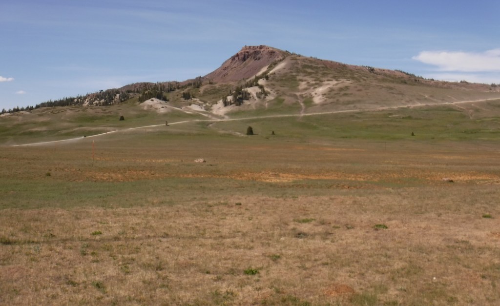
Dixie National Forest is spread across southwest Utah surrounding Cedar Breaks National Monument and near three National Parks: Bryce Canyon, Capitol Reef, and Zion.  The National Forest has a wide elevation range from 2,800 feet near St. George to 11,322 feet on Boulder Mountain.  The change in average temperature and precipitation leads to wide variety of ecosystems from a desert-like environment all the way up to subalpine conifer forests and tundra.  The warmth of southern Utah reminded some early emigrants of “Dixie,” the part of the U.S. south of the Mason-Dixon Line, but with growing public distaste for that name it may be changed in the future.

Highlights

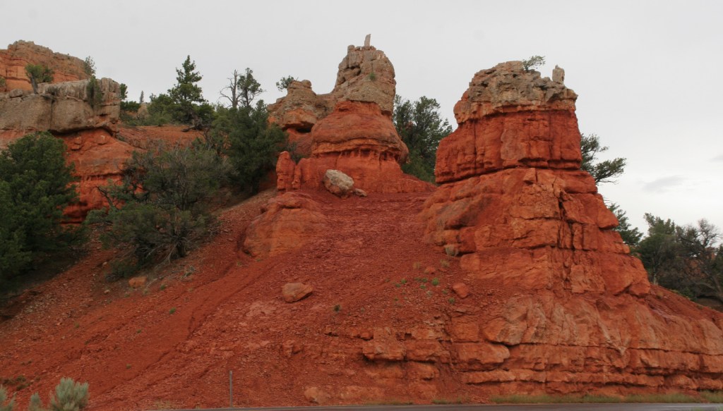
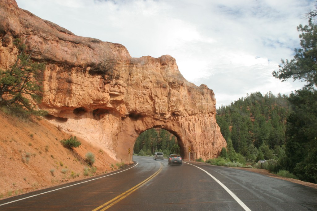
Markagunt National Scenic Byway, Brian Head, Navajo Lake, Cascade Falls, Strawberry Point, Red Canyon Recreation Area, Honeycomb Rocks, Powell Point, Hell’s Backbone Bridge, Virgin River Rim Trail, Hancock Peak Trail, Whipple Trail, Casto Canyon Trail

Must-Do Activity

Highway 12 Scenic Byway winds through much of the National Forest, including Red Canyon Recreation Area where the popular Casto Canyon Trail is open to hikers, bicycles, horses, and ATVs.  The mountain ranges west of Interstate 15 are a less-visited section of the forest, with numerous trails traversing the Pine Valley Mountains Wilderness, including the 35-mile Summit Trail.

Best Trail

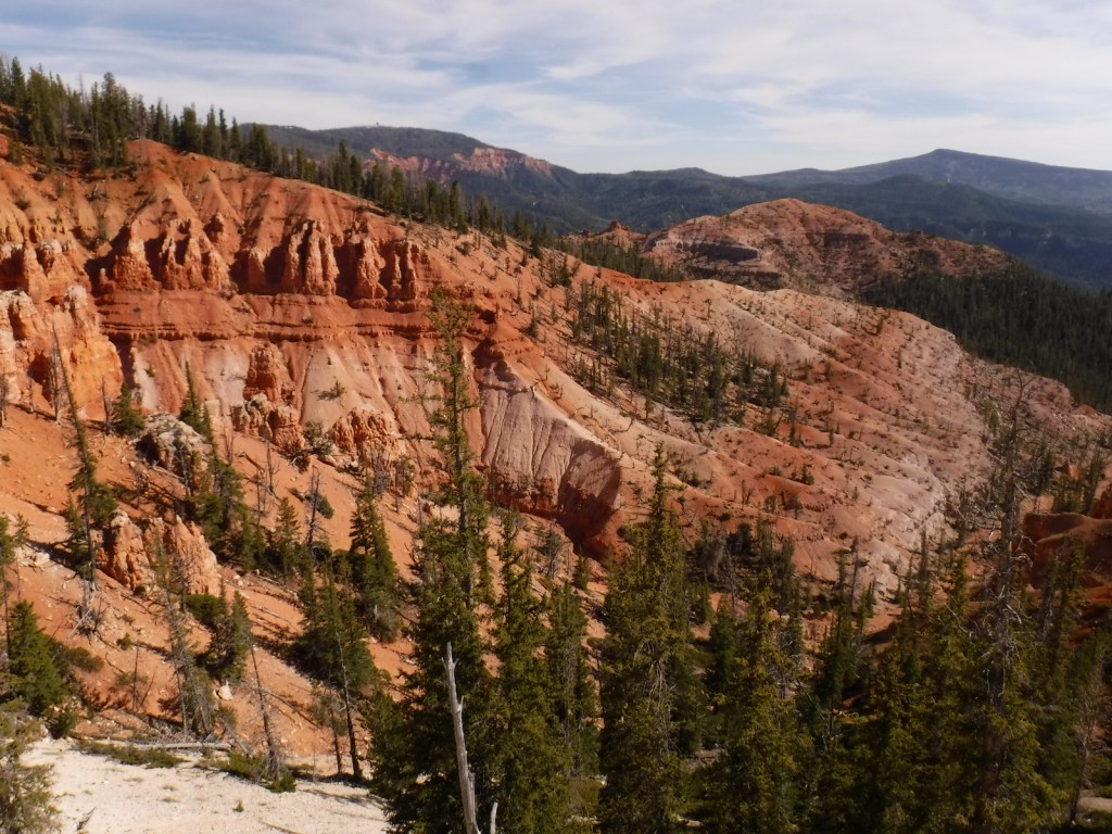
Leaving from a trailhead across Highway 143 from the road to the top of 11,312-foot-tall Brian Head, Rattlesnake Creek Trail skirts the edge of spectacular Cedar Breaks National Monument and enters the Ashdown Gorge Wilderness (established in 1984).  About one mile in, one of several side trails leads off to the left for an overlook of the Cedar Breaks, a red rock badlands full of hoodoos situated at the edge of the Markagunt Plateau.  Gnarled Great Basin bristlecone pine trees cling to the eroding edge of the natural amphitheater, making a great foreground for photographs with a beautiful backdrop.  The trail continues to drop more than 2,400 feet to the canyon bottom over four miles connecting with Ashdown Creek which eventually crosses Highway 14, but there is not an official trailhead there.

Watchable Wildlife

A variety of mammals call Dixie National Forest home: black bears, mountain lions, bobcats, coyotes, three species of foxes, minks, pine martens, porcupines, beavers, raccoons, skunks, badgers, snowshoe hares, pika, mountain goats, bighorn sheep, elk, mule deer, and pronghorns.  Large birds include bald eagles, golden eagles, California condors, turkey vultures, wild turkeys, and various species of woodpeckers.  There are many gamefish found in the streams and small lakes spread across the high-elevation Markagunt, Paunsaugunt, and Aquarius Plateaus.

Instagram-worthy Photo

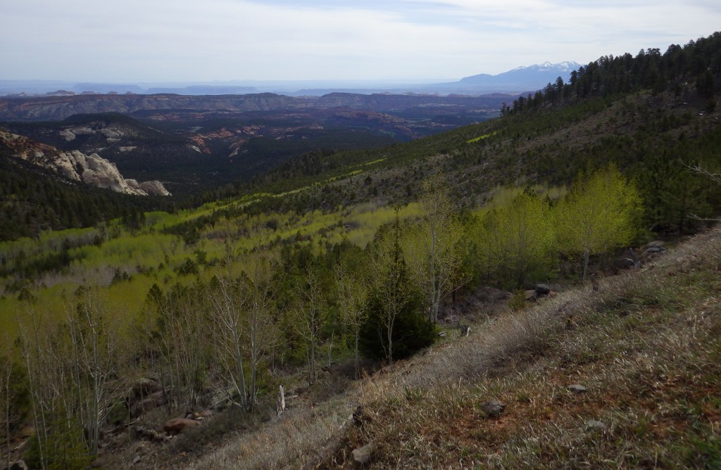
South of Torrey, Highway 12 climbs into an aspen forest with incredible views of Capitol Reef National Park and Waterpocket Fold.

Peak Season

Late summer

Fees

None

Road Conditions

Highway 12 and Highway 143 are paved roads that access the high elevations of Dixie National Forest, but they may be closed seasonally due to snow.  There are numerous dirt roads that traverse the area, including the popular route to the top of 11,312-foot-tall Brian Head.

Camping

There are numerous campgrounds located throughout the National Forest, as well as dispersed camping opportunities on dirt roads west of Bryce Canyon National Park.

Wilderness Areas

Ashdown Gorge Wilderness

Box-Death Hollow Wilderness

Cottonwood Forest Wilderness

Pine Valley Mountains Wilderness

Related Sites

Cedar Breaks National Monument (Utah)

Grand Staircase-Escalante National Monument (Utah)

Capitol Reef National Park (Utah)

Nearest National Park

Bryce Canyon

Conifer Tree Species

Utah juniper, singleleaf pinyon pine, ponderosa pine, Douglas-fir, Engelmann spruce, subalpine fir, Great Basin bristlecone pine

Flowering Tree Species

quaking aspen, Bebb willow

Explore More – On the Markagunt Plateau, Navajo Lake drains out of two lava tubes that formed how many millions of years ago?

Learn more about this and the 154 other National Forests in our new guidebook Out in the Woods

We are a participant in the Amazon Services LLC Associates Program, an affiliate advertising program designed to provide a means for us to earn fees by linking to Amazon.com and affiliated sites.

Deschutes National Forest

Deschutes National Forest

Oregon

Managed by U.S. Forest Service, Pacific Northwest Region

1,853,929 acres (1,596,900 federal/ 257,029 other)

Website: https://www.fs.usda.gov/deschutes

Overview

Bend, Oregon is the gateway to Deschutes National Forest, with the beautiful Cascade Lakes Scenic Byway located west of town.  To the south, Newberry National Volcanic Monument is also managed by the U.S. Forest Service, which we will cover in our next blog post.  The Deschutes River was named La Rivière aux Chutes by French trappers because Celilo Falls was located near its confluence with the Columbia River.  Deschutes National Forest contains five Wilderness areas, six National Wild and Scenic Rivers, Metolius Conservation Area, and part of Oregon Cascade Recreation Area (mostly in Umpqua National Forest).

Highlights

Newberry National Volcanic Monument, Cascade Lakes Scenic Byway, Devils Lake, Mt. Bachelor, Sparks Lake, Broken Top, Three Sisters, McKenzie Pass-Santiam Pass Scenic Byway, Skeleton Cave, Pacific Crest National Scenic Trail

Must-Do Activity

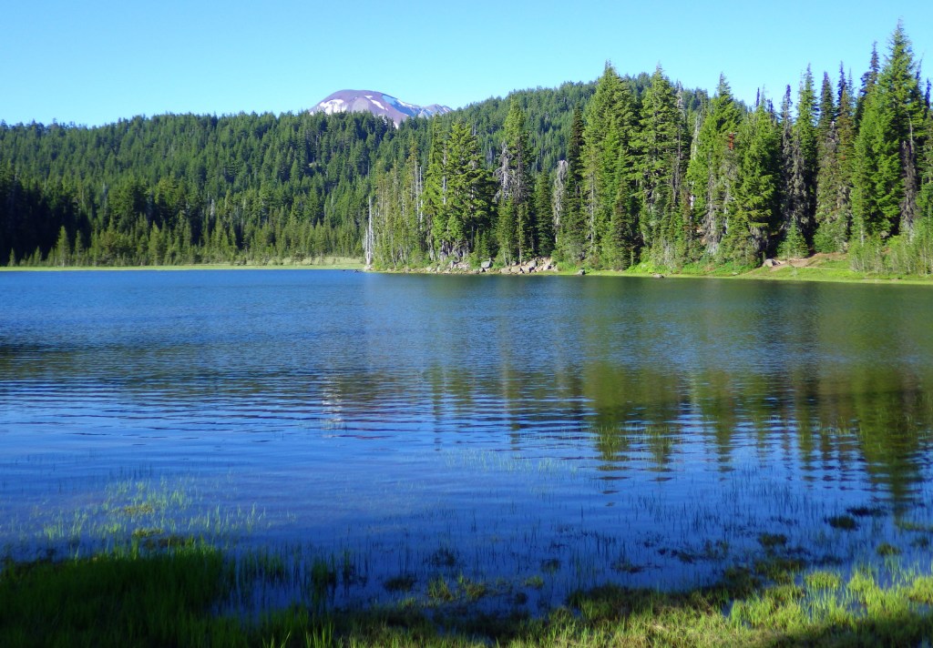
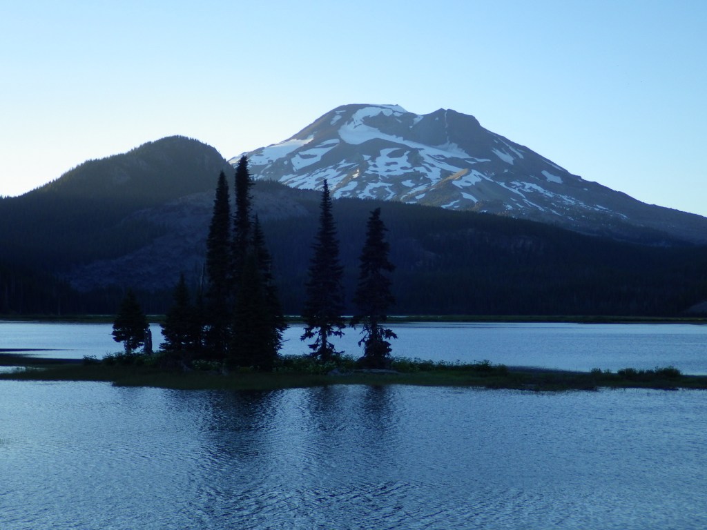
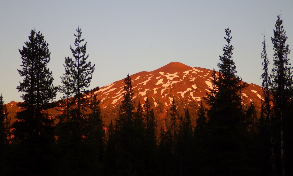
The 66-mile-long (89-mile loop) Cascade Lakes Scenic Byway curves around the mountains west of Bend past numerous lakes reflecting multiple snow-capped peaks—a real photographers’ paradise.  To spend the golden hours up here, consider staying at campgrounds on the shores of Lava Lake or Sparks Lake with excellent views of Broken Top and South Sister Peak.  Like Mt. Hood to the north, 9,065-foot Mt. Bachelor is known for its ski resort.  A summer trip up Pine Marten Express Lift offers unsurpassed panoramas of the Cascades and Newberry National Volcanic Monument.

Best Trail

Sisters Mirror Lake is four miles and 650 feet up from a trailhead on the Cascade Lakes Scenic Byway and is located on the Pacific Crest National Scenic Trail.  Just as a warning, this entire trail was thick with aggressive mosquitoes on our hike in mid-July.

Watchable Wildlife

Elk, pronghorn, and mule deer are large ungulates found in Deschutes National Forest.  Carnivorous mammals include black bears, coyotes, mountain lions, and bobcats.  Large birds frequently seen are bald eagles, Canada geese, mallards, and whistling swans, and the northern spotted owl is a species of concern.  There are many lakes found throughout the National Forest that support a variety of gamefish, including bull trout (a threatened species).

Instagram-worthy Photo

Sparks Lake is a great place to watch the sun set behind the Cascades.

Peak Season

Summer

Fees

There is a day use fee for Newberry National Volcanic Monument.

Road Conditions

Cascade Lakes Scenic Byway is paved, as are the main roads into Newberry National Volcanic Monument, but there are many miles of logging roads to explore, too.

Camping

Campgrounds on the shores of Lava Lake or Sparks Lake provide views of Broken Top and South Sister Peak.  Walk-in campsites on crystal clear Devils Lake offer a bit more secluded experience.

Wilderness Areas

Diamond Peak Wilderness (also in Willamette National Forest)

Mt. Jefferson Wilderness (also in Mt. Hood and Willamette National Forests)

Mt. Thielsen Wilderness (also in Umpqua and Winema National Forests)

Mt. Washington Wilderness (also in Willamette National Forest)

Three Sisters Wilderness (also in Willamette National Forest)

Related Sites

Newberry National Volcanic Monument (Oregon)

Crooked River National Grassland (Oregon)

John Day Fossil Beds National Monument (Oregon)

Nearest National Park

Crater Lake

Conifer Tree Species

ponderosa pine, lodgepole pine, western white pine, sugar pine, western juniper, Douglas-fir, western redcedar, white fir, subalpine fir

Flowering Tree Species

quaking aspen, balsam poplar, Bebb willow

Explore More – The namesake of the Deschutes River (Celilo Falls) is now underwater behind what dam on the Columbia River?

Learn more about this and the 154 other National Forests in our new guidebook Out in the Woods

We are a participant in the Amazon Services LLC Associates Program, an affiliate advertising program designed to provide a means for us to earn fees by linking to Amazon.com and affiliated sites.

Deerlodge National Forest

Deerlodge National Forest       

Montana

Managed by U.S. Forest Service, Northern Region

1,369,894 acres (1,227,155 federal/ 142,739 other)

Website: https://www.fs.usda.gov/bdnf

Overview

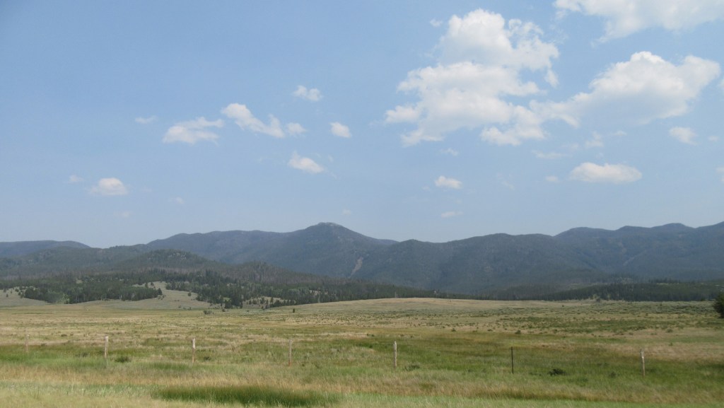
President Theodore Roosevelt originally created the Big Hole Forest Reserve in 1908 after the area around Butte, Montana was clearcut by the Anaconda Copper Mining Company.  There are still many remnants of historical mining found throughout Deerlodge National Forest.  In 1996, it became part of Beaverhead-Deerlodge National Forest, the largest of the many National Forests in Montana.  The smaller and more northerly Deerlodge section includes portions of the Boulder Mountains, Highland Mountains, Flint Creek Range, John Long Mountains, and Elkhorn Mountains, as well as part of the Anaconda-Pintler Wilderness.

Highlights

Pintler Scenic Loop, Skalkaho Pass, Elkhorn ghost town, Boulder River, Sheepshead Recreation Area, Delmoe Lake, Pipestone Rock, Maud South Canyon Loop Trail, Lost Cabin National Recreation Trail

Must-Do Activity

Butte, Montana is surrounded by mountains that are part of Deerlodge National Forest and many dirt roads explore this area.  One road leads to Delmoe Lake, six miles east of Butte and located near Pipestone Rock, once a source of stone for making various implements.  Ghost towns accessible by road include the mining settlements of Elkhorn and Highland City.  The Deer Lodge Mound is a 40-foot-tall geothermal formation that resembles a medicine lodge with steam emitting from its top.  Historically, the mineral-laden water attracted large herds of deer.  It is currently on the grounds of the Warm Springs State Hospital and is visible from Interstate 90.

Best Trail

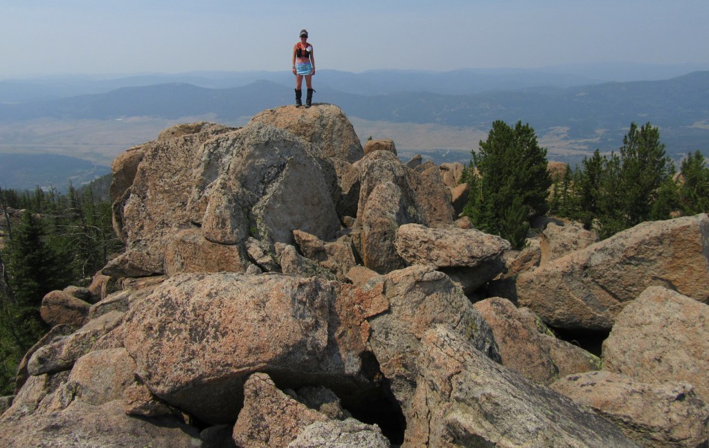
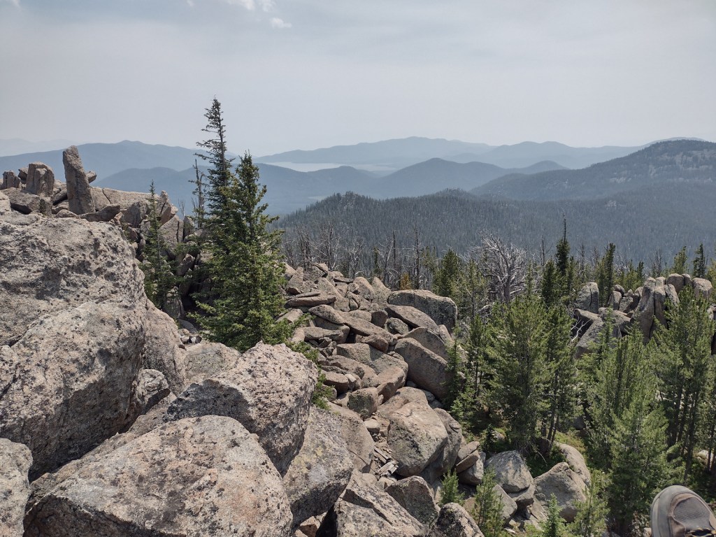
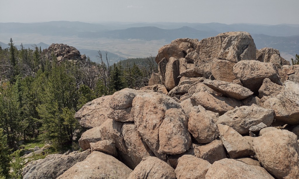
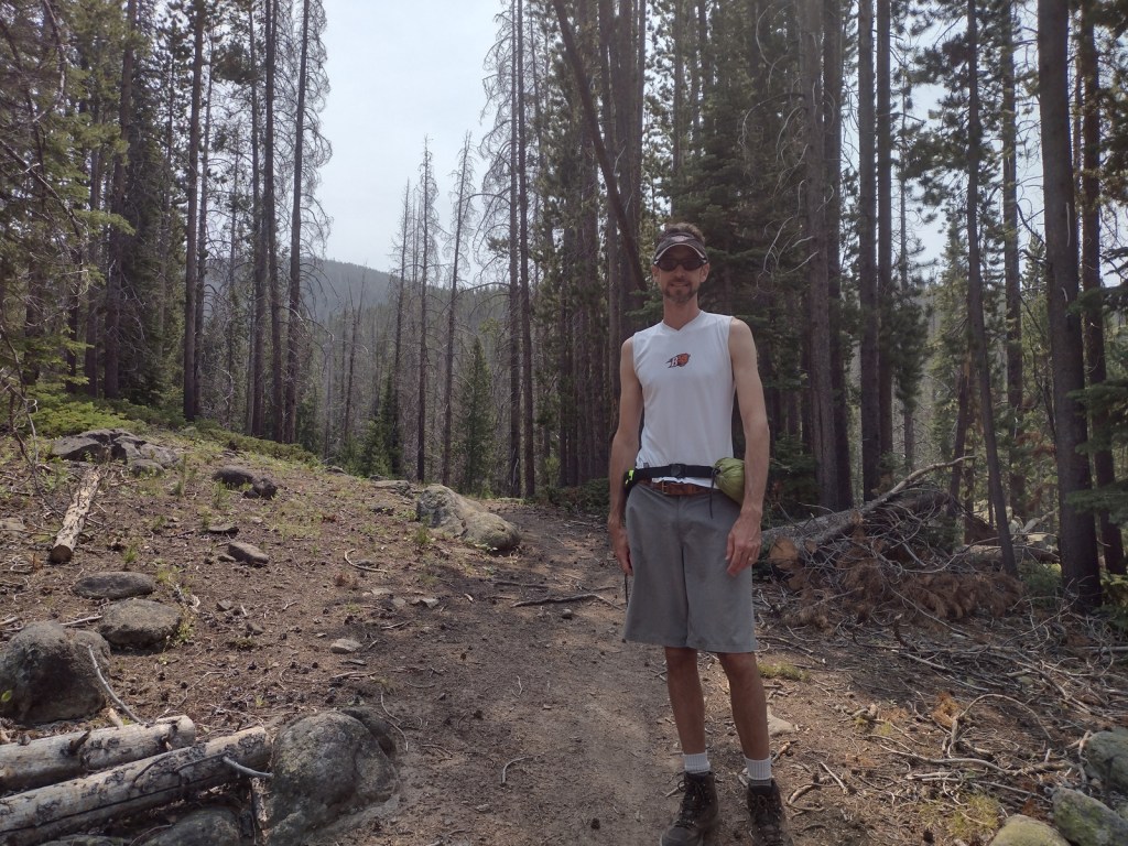
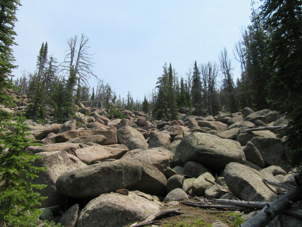
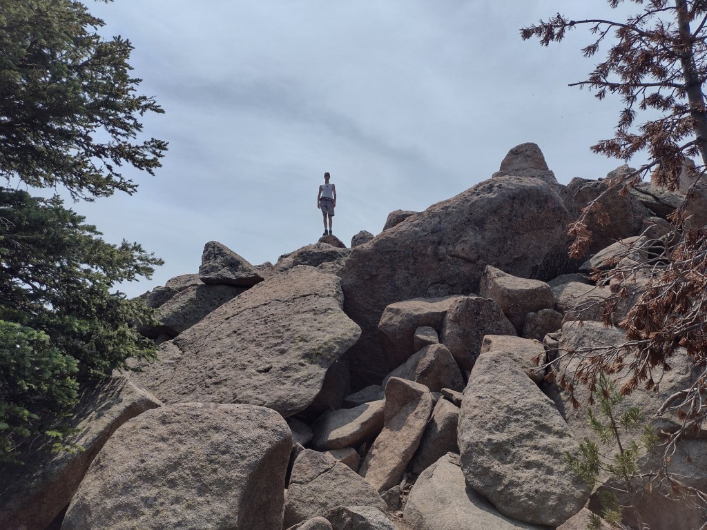
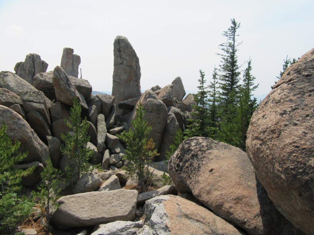
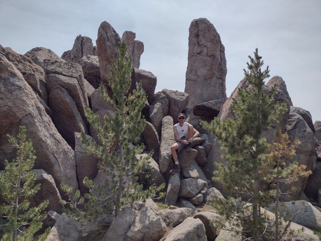
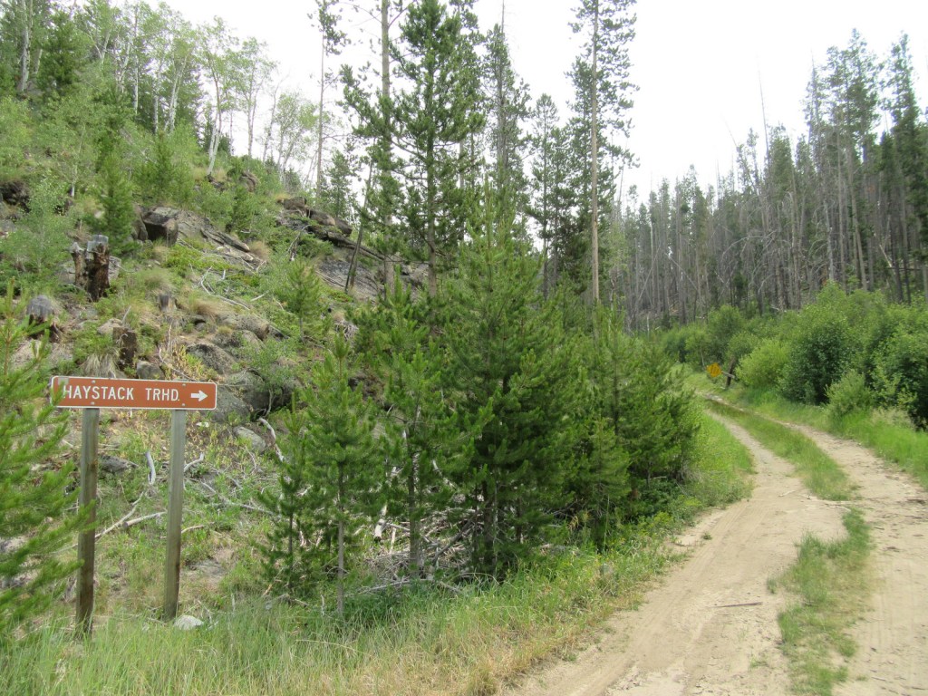
Although the official trailhead for Haystack Mountain National Recreation Trail is 1.2 miles uphill from Interstate 15, we had to park along the frontage road because access required a high-clearance vehicle.  This added about 700 feet of elevation gain to the 2,000 feet from the trailhead and made the total hike eight miles out-and-back.  There is not much shade along the route that ends in a mountaintop boulder field with stunning panoramic views and the remnants of a fire lookout tower.

Watchable Wildlife

Due to its proximity to Yellowstone National Park, Deerlodge National Forest still has most of its pre-settlement carnivores: grizzly bears, black bears, mountain lions, Canadian lynx, coyotes, and gray wolves.  Grazing ungulate species include moose, elk, mule deer, white-tailed deer, bighorn sheep, mountain goats, and pronghorns.  Bald eagles and ospreys are common around bodies of water.  Mountain whitefish, golden trout, cutthroat trout, rainbow trout, brook trout, lake trout, arctic grayling, and burbot are some of the gamefish sought by fishermen.

Instagram-worthy Photo

The boulder field at the end of Haystack Mountain National Recreation Trail provides 360° views (even on a smoky day), which is why it once housed a fire lookout tower.

Peak Season

Summer

Fees

None

Road Conditions

There are many rough roads in Deerlodge National Forest, including the one to the official trailhead for Haystack Mountain National Recreation Trail, 1.2 miles uphill from an Interstate 15 frontage road. 

Camping

There are campgrounds throughout the National Forest, including several along the Boulder River and one on the southern side of Toll Mountain.

Wilderness Areas

Anaconda-Pintler Wilderness (also in Beaverhead and Bitterroot National Forests)

Related Sites

Grant-Kohrs Ranch National Historic Site (Montana)

Beaverhead National Forest (Montana)

Bitterroot National Forest (Montana-Idaho)

Nearest National Park

Yellowstone

Conifer Tree Species

lodgepole pine, whitebark pine, ponderosa pine, Douglas-fir, Engelmann spruce, subalpine fir, subalpine larch

Flowering Tree Species

quaking aspen, balsam poplar, Bebb willow, sagebrush

Explore More – The Anaconda Copper Mine is one of the largest open pit mines in the world, but what originally brought miners to this region in the 1800s?

Learn more about this and the 154 other National Forests in our new guidebook Out in the Woods

We are a participant in the Amazon Services LLC Associates Program, an affiliate advertising program designed to provide a means for us to earn fees by linking to Amazon.com and affiliated sites.

Davy Crockett National Forest

Davy Crockett National Forest

Texas

Managed by U.S. Forest Service, Southern Region

394,200 acres (160,647 federal/ 233,553 other)

Website: https://www.fs.usda.gov/texas

Overview

The pine forests and blackland prairies of Davy Crockett National Forest are situated between Lufkin and Crockett, Texas.  The National Forest is located within the Trinity and Neches River basins, where the Big Slough Canoe Trail explores the swampy 3,639-acre Big Slough Wilderness.  David Crockett was a frontiersman, soldier, and Tennessee politician who died at the infamous Battle of the Alamo in 1836 and later became an almost-mythical American folk hero known as the “King of the Wild Frontier.”  This swampy stretch of eastern Texas is a fitting place to be his namesake.

Highlights

Ratcliff Lake Recreation Area, Holly Bluff Campground, Neches Bluff Overlook, Neches River, Big Slough Canoe Trail, Tall River Trail, Four C Trail

Must-Do Activity

Davy Crockett National Forest’s most developed site is Ratcliff Lake Recreation Area, where several trails run near the campsites that surround the 45-acre lake, including one end of the 20-mile-long Four C National Recreation Trail.  The site also has a bathhouse, picnicking and swimming areas, and boat ramps.

Best Trail

The 20-mile Four C National Recreation Trail connects Ratcliff Lake Recreation Area with Neches Bluff Overlook, although hurricane damage closed the northern portion of the trail in 2019.  The trail is named after the Central Coal and Coke Company, which had a sawmill at Ratcliff Lake.  Much of the well-marked route follows abandoned tramways built by the company to haul logs.  The two trailheads are easily accessible from highways, but no backpack camping is allowed during deer hunting season (November through January).

Watchable Wildlife

Fishing is a major draw to Ratcliff Lake, as is hunting for white-tailed deer, fox squirrels, northern bobwhite quail, doves, wild turkeys, and various waterfowl.  Beavers and American alligators are also found at Ratcliff Lake.  Longleaf pine forests are managed to provide habitat for red-cockaded woodpeckers, an endangered species.  We saw an armadillo while hiking a swampy section of the Four C National Recreation Trail along the Neches River.

Instagram-worthy Photo

There is not much vertical topography in eastern Texas, so Neches Bluff Overlook stands out and commands an expansive view, including Caddo Mounds State Historic Site.

Peak Season

Spring and fall

Fees

None

Road Conditions

Access to Neches Bluff Overlook is by a well-maintained unpaved road that would be drivable by an RV.

Camping

There is free primitive camping allowed at Neches Bluff Overlook, which is located just south of Highway 21 near Caddo Mounds State Historic Site.  No backpack camping is allowed on the Four C National Recreation Trail during deer hunting season (November through January), when dispersed camping is also restricted to 20 designated hunter camps.

Wilderness Areas

Big Slough Wilderness

Related Sites

Angelina National Forest (Texas)

Sabine National Forest (Texas)

Big Thicket National Preserve (Texas)

Nearest National Park

Hot Springs

Conifer Tree Species

baldcypress, loblolly pine, shortleaf pine, longleaf pine, eastern redcedar

Flowering Tree Species

blackjack oak, post oak, southern red oak, white oak, swamp chestnut oak, willow oak, sweetgum, red maple, swamp red maple, green ash, swamp cottonwood, black willow, water hickory, pignut hickory, hophornbeam, sassafras, slippery elm, water elm, winged elm, American holly, yaupon holly, red buckeye, redbud, rough-leaf dogwood, flowering dogwood

Explore More – When were the mounds created at nearby Caddo Mounds State Historic Site?

Learn more about this and the 154 other National Forests in our new guidebook Out in the Woods

We are a participant in the Amazon Services LLC Associates Program, an affiliate advertising program designed to provide a means for us to earn fees by linking to Amazon.com and affiliated sites.

Croatan National Forest

Croatan National Forest

North Carolina

Managed by U.S. Forest Service, Southern Region

308,234 acres (159,885 federal/ 148,349 other)

Website: https://www.fs.usda.gov/nfsnc

Overview

The sandy soil of North Carolina’s coastal plain is where you will find Croatan National Forest, the land of the longleaf pine (which is the official state tree).  Longleaf pines are adapted to frequent surface fires by going through a “grass stage” when young, so the Forest Service conducts controlled burns in some stands.  Much of the National Forest has standing water (in pocosins and Carolina bays), which is why there is not a single trail through its 31,000 acres of designated Wilderness areas.  Pocosins are raised bogs and home to 11 species of carnivorous plants, including the federally-protected Venus flytrap.  A Carolina bay is one of many oval-shaped depressions typically filled with water that are oriented in a northwest-southeast direction across the coastal plain.  They range in size from small ponds to two miles in diameter, but the exact cause of their formation is unknown.

Highlights

Cedar Point Tideland National Recreation Trail, Flanner Beach, Fishers Landing, Brice Creek canoe trail, Black Swamp OHV Trail, Island Creek Trail, Patsy Pond Nature Trail, Cedar Point Tideland National Recreation Trail, Neusiok Trail

Must-Do Activity

To find some of the 11 species of carnivorous plants in Croatan National Forest, you will have to work a little bit.  Pull off one of the highways that bisect the area and hike to the edge of a pocosin, where scrubby vegetation grows in highly-acidic black soil.  Pitcher plants, bladderworts, sundews, and Venus flytraps utilize different methods to capture insects and spiders in order to sap their nitrogen and other nutrients that are scarce in the water-logged soil.  To trigger a tiny Venus flytrap to close, an insect must touch one hair twice or multiple hairs within 20 seconds.  They are often found adjacent to larger pitcher plants, which lure insects inside by color or odor, then are too slick-walled to escape.  Sundews and the butterwort utilize a sticky substance to capture their prey.  The five species of bladderworts float in shallow water where they capture swimming prey that trigger a trap door.

Best Trail

The Cedar Point Tideland National Recreation Trail is a 1.4-mile loop located partially on a boardwalk near the mouth of the White Oak River.  There are also two long trails through the swamps and pine forests: Neusiok Trail (21 miles) and Weetock Trail (14 miles).  There are no designated trails through Croatan National Forest’s 31,000 acres of designated Wilderness areas. 

Watchable Wildlife

Black bears in this region can get very big since they generally do not hibernate in the winter.  Other large mammals found are bobcats, raccoons, river otters, and muskrats.  Great blue herons, snowy egrets, ospreys, bald eagles, peregrine falcons, wild turkeys, woodcocks, and northern bobwhite quail are major bird species.  There are a variety of reptiles and amphibians, including alligators, anoles, cottonmouths, copperheads, canebrake rattlesnakes, pigmy rattlesnakes, and eastern diamondback rattlesnakes.  The tannic-stained blackwater supports fish like warmouth, redfin pickerel, sunfish, bowfin, yellow bullhead catfish, and the rare swampfish (a species of cavefish). 

Instagram-worthy Photo

Carnivorous pitcher plants have large showy flowers that bloom in early May.

Peak Season

Spring and fall

Fees

None

Road Conditions

The major highways (17, 58, 70) that cross the National Forest are paved, and the sandy, unpaved roads are generally in good shape except when flooded.

Camping

There are Forest Service campgrounds at Flanner Beach on the Neuse River and Cedar Point along the White Oak River.

Wilderness Areas

Catfish Lake South Wilderness

Pocosin Wilderness

Pond Pine Wilderness

Sheep Ridge Wilderness

Related Sites

Cape Lookout National Seashore (North Carolina)

Fort Raleigh National Historic Site (North Carolina)

Moores Creek National Battlefield (North Carolina)

Nearest National Park

Congaree

Conifer Tree Species

baldcypress, longleaf pine, loblolly pine, shortleaf pine, pond pine, eastern redcedar, Atlantic white-cedar

Flowering Tree Species

black gum, umbrella magnolia, southern magnolia, northern red oak, southern red oak, white oak, water oak, chestnut oak, overcup oak, black cherry, sassafras, American holly, yaupon holly, Hercules’ club, sweetgum, red maple, sugar maple, white alder, witch hazel, American beech, black walnut, tulip-poplar, hophornbeam, musclewood, red mulberry, flowering dogwood, loblolly bay, red bay, sweet bay magnolia, titi

Explore More – What is the origin of the National Forest’s name and how does it relate to Fort Raleigh National Historic Site?

Learn more about this and the 154 other National Forests in our new guidebook Out in the Woods

We are a participant in the Amazon Services LLC Associates Program, an affiliate advertising program designed to provide a means for us to earn fees by linking to Amazon.com and affiliated sites.