Overview
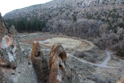
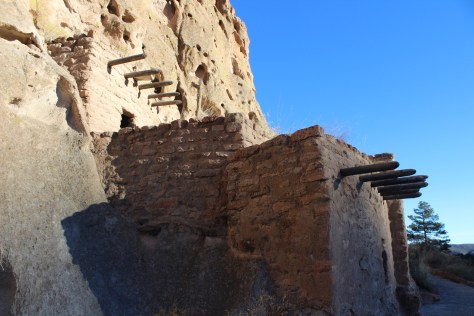
One of 13 national monuments in New Mexico, this archaeological site is located in a beautiful forested canyon at 6,000 feet elevation outside Los Alamos. Ancestral Puebloans inhabited Frijoles Canyon from AD 1150 to 1550, building villages and carving rooms out of the soft volcanic tuff, much like in Cappadocia, Turkey.

Highlights
Ruins, cavates, Alcove House, Upper Falls, Painted Cave
Must-Do Activity
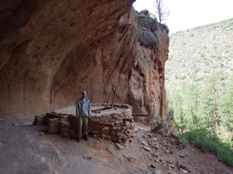
Climb 140 feet up ladders and steep steps to Alcove House cliff dwelling for superlative views of the canyon.
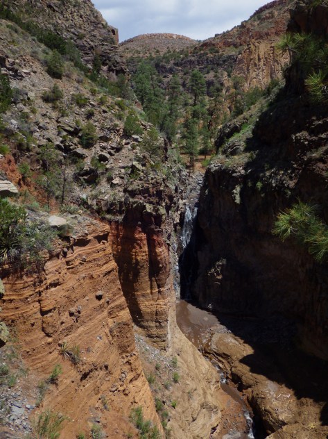
Best Trail
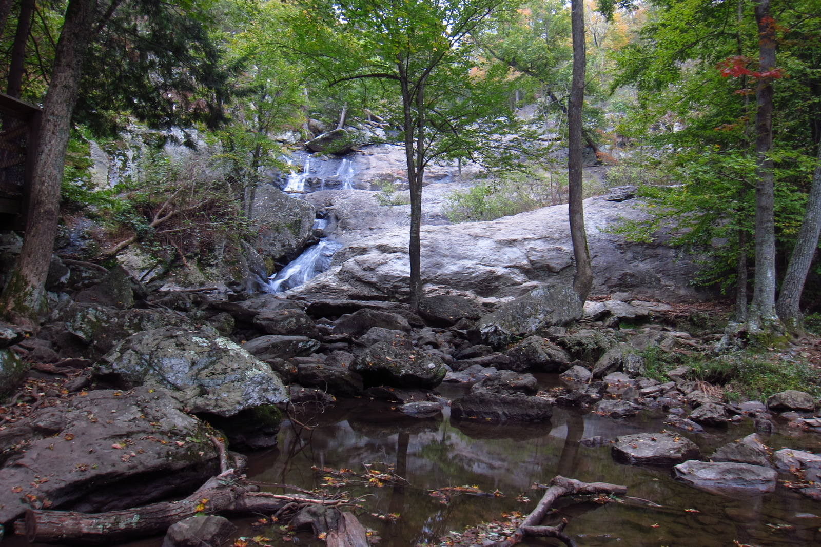
After exploring the ruins, be sure to hike 1.5 miles to Upper Falls downstream from the visitor center.
Instagram-worthy Photo
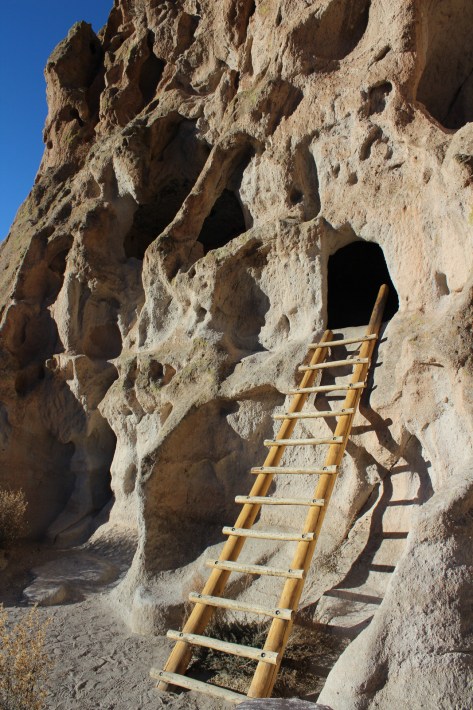
The National Park Service has installed some awesome, authentic-looking ladders to access the cavates.
Peak Season
Summer when a shuttle is required from Los Alamos, New Mexico due to limited parking
Hours
https://www.nps.gov/band/planyourvisit/hours.htm
Fees
$25 per group or America the Beautiful pass
Road Conditions
Paved, but visitors are required to take a shuttle from Los Alamos between 9 a.m. and 3 p.m. in the summer (May 17 – October 17)
Camping
Juniper Campground has 94 sites, running water, and is open most of the year. Its 70 miles of trails also make the park popular for backpacking, which requires a zoned camping permit.


Explore More – When did the giant volcano erupt that created the 16-mile wide Valles Caldera and deposited hundreds of feet of volcanic ash that formed tuff?