Tag Archives: trees

Kaniksu National Forest

Kaniksu National Forest

Idaho, Montana, Washington

Managed by U.S. Forest Service, Northern Region

1,833,582 acres (1,628,024 federal/ 205,558 other)

Website: https://www.fs.usda.gov/ipnf

Overview

In the mountainous tip of the Idaho pandhandle bordering Canada, Kaniksu National Forest stretches into three states.  Recreational opportunities surround three major rivers and two large natural bodies of water: Lake Pend Oreille and Priest Lake.  As you might imagine in a place this wet, waterfalls abound (see Must-Do Activity).  Coeur d’Alene National Forest is located on both sides of Interstate 90, east of the city of Coeur d’Alene, which was the French name given to the indigenous people.  In 1973, Kaniksu National Forest was joined with Coeur d’Alene and St. Joe National Forests to form Idaho Panhandle National Forests.

Highlights

Priest Lake, Northeast Peak Scenic Area, Lake Pend Oreille, Bottle Lake, Snow Creek Falls, Chimney Rock, Huff Lake, Canyon Creek Natural Area, Copper Falls, Gunsight Peak, Hahn Lake, Hanna Flats Nature Trail, Gold Hill Trail

Must-Do Activity

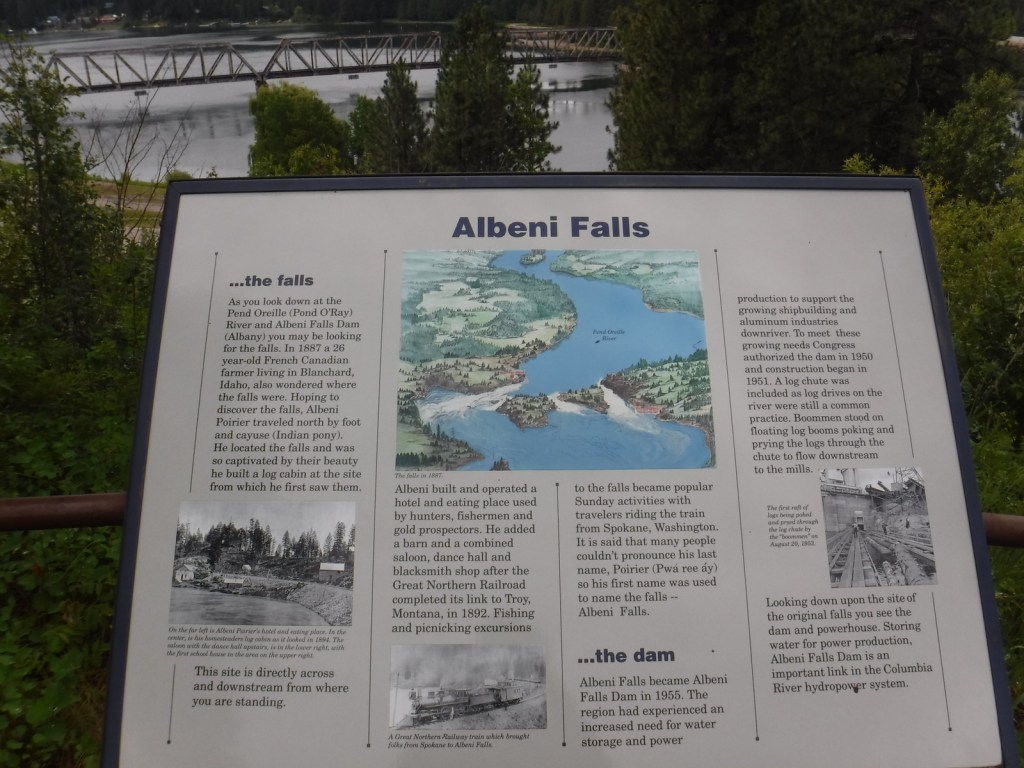
As you might imagine in a place this wet, waterfalls abound, including 160-foot Copper Falls, 150-foot Jeru Creek Falls, 75-foot Wellington Creek Falls, and 75-foot Char Falls.  South of Bonners Ferry, a forest road leads to Snow Creek Falls with an upper drop of 125 feet and a lower plunge of 75 feet.  Rapid Lightning Falls, Grouse Creek Falls, and Torelle Falls are also in Kaniksu National Forest.  If you want to see more waterfalls, Moyie Falls drops 140 feet in a series of cascades located just outside the National Forest and there is a roadside pullout at Albani Falls Dam on the Pend Oreille River.  A paved scenic byway follows the north shore of Lake Pend Oreille and the Clarks Fork River into Montana.

Best Trail

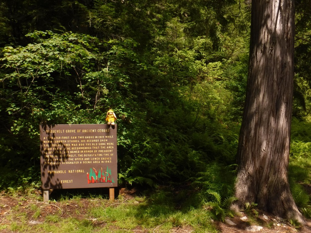
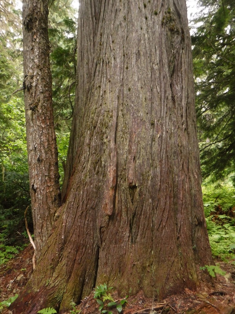
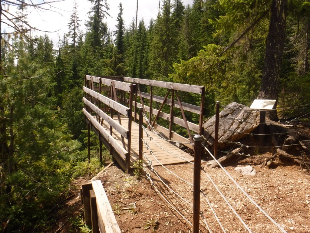
First discovered by a forester in 1919, the Roosevelt Grove of Ancient Cedars Scenic Area in Washington was named in honor of Theodore Roosevelt.  A 1926 fire killed three-quarters of the trees, leaving two smaller remnant patches.  Most of the western redcedars are around 800 years old, but some of them are estimated to be more than 2,000 years old.  Of course, since this is Kaniksu National Forest there is also a trail here to a waterfall, with a one-mile loop climbing 200 feet to an overlook.  From that point it is only a half-mile walk to the 20-acre Upper Grove.  The trail leaves from the colorfully-named Stagger Inn Trailhead, which gets its moniker from a 1926 fire camp located an exhausting 14-mile hike from the nearest road.

Watchable Wildlife

Kaniksu National Forest is home to mule deer, elk, moose, black bears, bobcats, coyotes, and mountain lions.  This close to Canada, it is also possible to find grizzly bears and gray wolves.  The Selkirk Mountains represent the sole place in the contiguous U.S. where you might see mountain caribou.  Common large birds include ospreys, golden eagles, bald eagles, wild turkeys, and ravens.  The National Forest borders Lake Pend Oreille and Priest Lake, plus it contains many of the rivers and creeks that feed them, which provide incredible fishing opportunities.

Photographic Opportunity

At the Roosevelt Grove of Ancient Cedars Scenic Area, a one-mile loop trail climbs to a vista above Lower Granite Falls where Upper Granite Falls may be viewed.

Peak Season

Summer

Fees

None

Road Conditions

A long dirt road (FR 302) leads to the Roosevelt Grove of Ancient Cedars Scenic Area in Washington (and continues west into neighboring Colville National Forest), but it is maintained in good condition for passenger vehicles, although not all forest roads are. 

Camping

There are numerous campgrounds on the west side of Priest Lake and around Lake Pend Oreille, plus dispersed campsites along the dirt roads near the Roosevelt Grove of Ancient Cedars Scenic Area.

Wilderness Areas

Cabinet Mountains Wilderness (also in Kootenai National Forest)

Salmo-Priest Wilderness (also in Colville National Forest)

Related Sites

Coeur d’Alene National Forest (Idaho)

Clearwater National Forest (Idaho)

Nez Perce National Historical Park (Idaho-Oregon-Montana)

Nearest National Park

Glacier

Conifer Tree Species

western redcedar, ponderosa pine, lodgepole pine, western white pine, whitebark pine, Douglas-fir, grand fir, subalpine fir, Engelmann spruce, western hemlock, mountain hemlock, western larch

Flowering Tree Species

Rocky Mountain maple, quaking aspen, Pacific dogwood, balsam poplar, dwarf birch, paper birch, Piper’s hawthorn, boxelder, Bebb willow, western mountain-ash, choke cherry, western serviceberry, red alder, mountain alder

Explore More – Kaniksu is derived from a Kalispel Indian word meaning what?

Learn more about this and the 154 other National Forests in our new guidebook Out in the Woods

We are a participant in the Amazon Services LLC Associates Program, an affiliate advertising program designed to provide a means for us to earn fees by linking to Amazon.com and affiliated sites.

Hawai‘i Volcanoes National Park

Hawai‘i Volcanoes National Park

Hawai‘i

Managed by National Park Service

Established 1916

344,812 acres

Website: nps.gov/havo

Overview

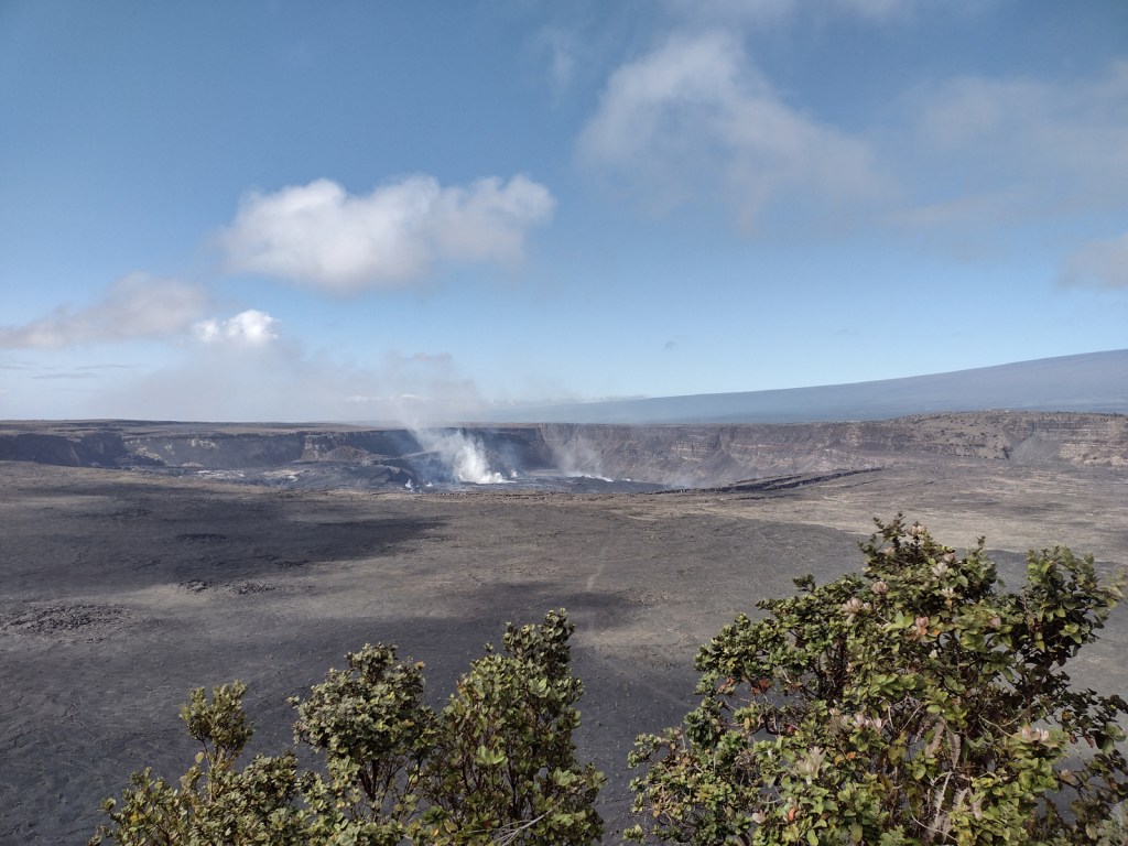
Hawai‘i National Park was created in 1916, before being split in 1961 into this park on the Big Island of Hawai‘i and Haleakala National Park on Maui.  Encompassing two of the world’s most active volcanoes (Kīlauea and Mauna Loa), Hawaiʻi Volcanoes National Park is constantly changing.  Indigenous people considered Kīlauea Caldera and its bubbling Halemaʻumaʻu Crater as the sacred home of Pele, goddess of the volcano.  This area first became a tourist attraction in the 1840s when Volcano House was still a grass shack.  A small, wooden hotel was built in 1877 that now serves as Volcano Art Center Gallery, before the larger lodge was finished in the 1940s on the edge of the caldera.  A strenuous backpacking trail summits the world’s largest shield volcano, 13,677-foot Mauna Loa, which erupted in 1926, 1942, 1950, 1984, and 2022. 

To learn more about the separate Kahuku Unit and how to find solitude in this National Park that saw 1.6-million visitors in 2023, check out our expanded 2nd edition of our guidebook A Park to Yourself: Finding Solitude in America’s 63 National Parks. 

Highlights

Volcano Art Center, Halemaʻumaʻu Crater, Chain of Craters Road, Kīlauea Iki Crater, Nāhuku (Thurston Lava Tube), Hōlei Sea Arch, Lava Tree Molds, Mauna Loa Overlook, Kīpukapuaulu Trail, Pu‘u Loa Petroglyphs Trail

Must-Do Activity

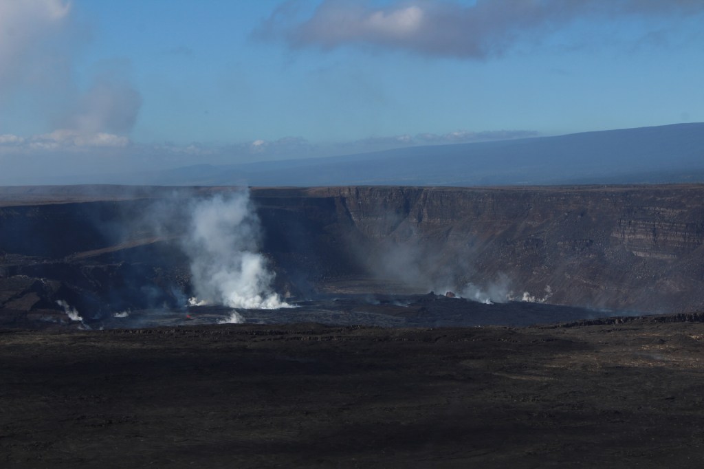
Arrive early or late at the visitor center to avoid tour bus crowds, then check with a ranger to find the best overlooks to view any volcanic activity in Halemaʻumaʻu Crater (depicted in our illustration below).  Consider returning to view the molten lava after dark, although parking can be a challenge.  The Chain of Craters Road leads 20 miles south from the forested caldera rim above 4,078 feet in elevation down to the sparsely vegetated seashore, descending through a wide range of environments before it dead ends into recent lava flows near the Hōlei Sea Arch and 1.5-mile Pu‘u Loa Petroglyphs Trail, where the crisp images chipped into the black lava have been spared from centuries of volcanic activity. 

Best Trail

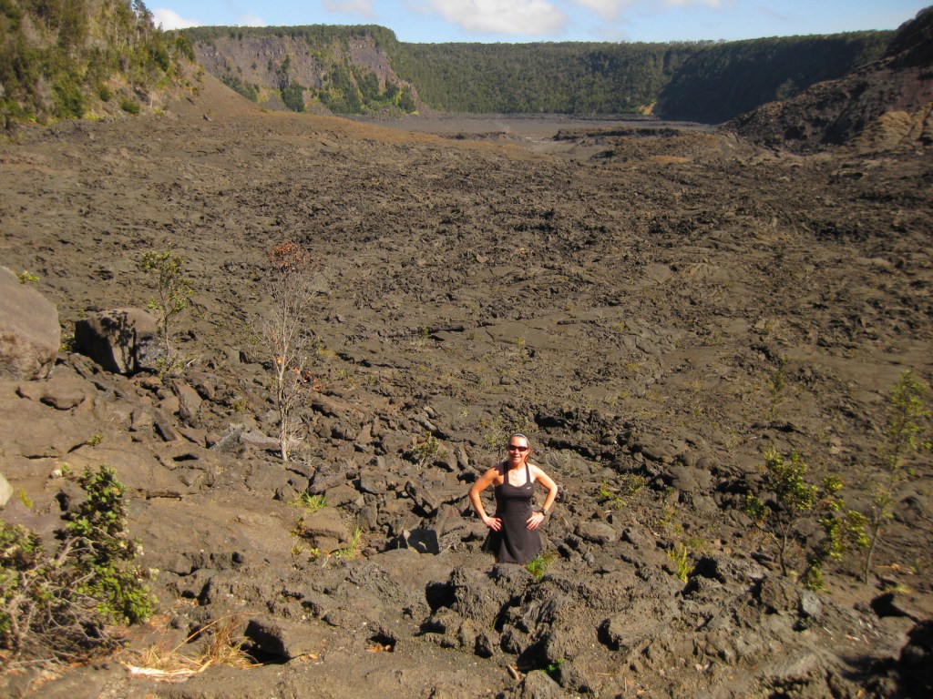
Kīlauea Iki Trail makes a four-mile loop descending 400 feet to the bottom of the crater that was a lake of lava in 1959.  It is recommended to hike it in a counter-clockwise direction to avoid ascending the steepest sections. 

Instagram-worthy Photo

Kīlauea erupted nonstop from 1983 through 2018, when lava poured in a near constant stream into the ocean, and it has been sporadically active since then.  Lava made it into the #1 spot on our Top 10 Natural Phenomena to See in the U.S.

Peak Season

Year round or whenever a volcano is active

Hours

https://www.nps.gov/havo/planyourvisit/hours.htm

Fees

$30 per vehicle or America the Beautiful pass

Road Conditions

Chain of Craters Road is paved, but can be closed during volcanic eruptions, just as half of Crater Rim Drive has been closed since March 19, 2008.  The side road to Hilina Pali Overlook is usually closed beyond Kulanaokuaiki Campground.  The one-lane, potholed Mauna Loa Road is doable with a passenger vehicle if you take it slow, as is the unpaved road into the western Kahuku Unit. 

Camping

The name of Kulanaokuaiki Campground translates as “shaking earth,” and this nine-site primitive camp has no drinking water, unlike the concessionaire-run Nāmakanipaio Campground and Cabins on Highway 11.  Even though this is Hawai‘i, bring some warm clothes as it can be quite rainy and windy, especially when the volcano is erupting; the temperature around Halemaʻumaʻu Crater did not rise above 59°F all day during our 2023 visit.

Related Sites

Pu‘uhonua o Honaunau National Historical Park (Hawai‘i)

Kaloko-Honokohau National Historical Park (Hawai‘i)

Pu’ukohola Heiau National Historic Site (Hawai‘i)

Explore More – When was the 115,788-acre Kahuku Unit added to the National Park?

This design we created to celebrate Hawai’i Volcanoes National Park is available on a variety of products at Cafe Press
We designed this ‘ohi’a lehua logo for the park available on Amazon.com

We are a participant in the Amazon Services LLC Associates Program, an affiliate advertising program designed to provide a means for us to earn fees by linking to Amazon.com and affiliated sites.

Inyo National Forest

Inyo National Forest

California, Nevada

Managed by U.S. Forest Service, Pacific Southwest Region

2,048,459 acres (1,948,726 federal/ 99,733 other)

Website: https://www.fs.usda.gov/inyo

Overview

Inyo National Forest was established by President Teddy Roosevelt in 1907 to accommodate the Los Angeles Aqueduct, so it is mostly sagebrush slopes without much dense forest cover.  We added it to our Top 10 Movies Filmed in National Forests after reading its history as a filming location.  Inyo National Forest offers the shortest route to Mt. Whitney, the tallest peak in the contiguous U.S. at 14,495 feet in elevation.  Its proximity to Badwater Basin (282 feet below sea level) in Death Valley National Park makes its rise all the more impressive.  You will need a permit to summit, since this popular peak lies within Sequoia National Park.  One added benefit is you will learn all about how to use a “W.A.G. bag.”  In addition to accessing the eastern Sierra Nevada (see Best Trail), Inyo National Forest also offers a portal to the beautiful White Mountains along the California-Nevada border (see Must-Do Activity) and 800,000 acres of designated Wilderness. 

Highlights

Mono Basin National Scenic Area (see our blog post), Lee Vining Canyon Scenic Byway, Tioga Pass, Ancient Bristlecone Pine Forest, Convict Lake, Hot Creek Geologic Site, Mammoth Lakes, Minaret Summit Vista, Crystal Lake, Mt. Whitney Trail, Minaret Falls, Pacific Crest National Scenic Trail

Must-Do Activity

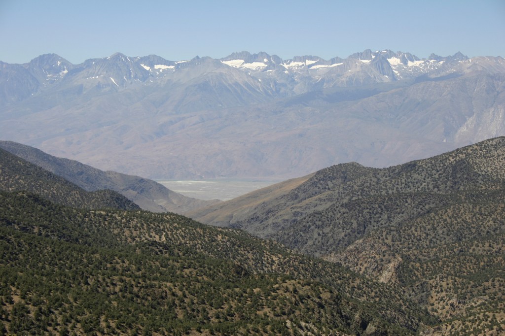
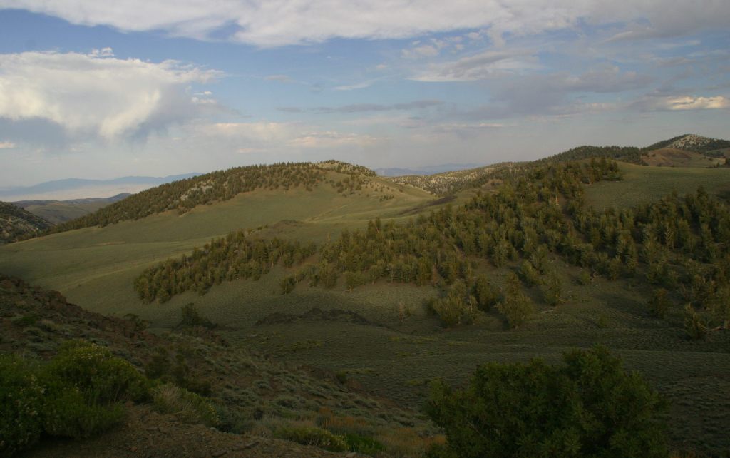
In the White Mountains, a paved road leads to the U.S. Forest Service visitor center at the Ancient Bristlecone Pine Forest, where a 4.5-mile loop trail through the Methuselah Grove passes one live Great Basin bristlecone pine tree recorded at over 5,000 years of age.  That ranks it as the oldest living single-stem tree on the planet based on annual tree-ring measurements.  You can continue to drive above 11,000 feet in elevation along a narrow gravel road famous for puncturing tires (so bring a spare).  The route offers awesome views of the Owens Valley and Mt. Whitney, then takes you to the Patriarch Grove, a wonderful park of gnarled Great Basin bristlecone pine trees surrounded by snow throughout the summer. 

Best Trail

Onion Valley Road west of Independence dead ends at the trailhead for Kearsarge Pass in the Sierra Nevada.  The trail is a series of endless switchbacks that lead past beautifully twisted foxtail pines and unbelievably blue lakes up to the 11,823-foot pass at the boundary with Kings Canyon National Park.  The view from the pass is worth the effort, even if you do not proceed to enter the National Park, for which you need a permit to camp overnight.  John Muir called these mountains “the range of light,” and from up here you will surely see why. 

Watchable Wildlife

Inyo National Forest is on the rain-shadow side of the Sierra Nevada, so it generally receives less precipitation throughout the year than the western slopes, especially at lower elevations.  In the conifer forests of the mountains look for mule deer, black bears, weasels, martens, mountain lions, and bobcats.  California quail, mountain quail, sooty grouse, and wild turkeys are common game birds.  Watch the skies for raptors like bald eagles, ospreys, red-tailed hawks, and turkey vultures. 

Instagram-worthy Photo

Sun-streaked and wind-blasted branches of bristlecone pine trees twist in backbreaking curls, stretching up towards the deep blue skies above 10,000 feet elevation.

Peak Season

Summer

Fees

There are no day use fees to our knowledge.

Road Conditions

The road is paved to the trailhead for the 4.5-mile loop through the Methuselah Grove in the Ancient Bristlecone Pine Forest.  The unpaved road beyond is famous for puncturing tires (so take it slow and bring a spare) and retains snow late into the summer.  A shuttle ticket or camping permit is required to drive into the National Forest west of the ski resort town of Mammoth Lakes to access Devils Postpile National Monument.

Camping

Grandview Campground near the Ancient Bristlecone Pine Forest lives up to its name.  There is a campground at Whitney Portal Trailhead and two on Onion Valley Road on the way to the trailhead for Kearsarge Pass (plus some epic dispersed campsites). 

Wilderness Areas

Ansel Adams Wilderness (also in Sierra National Forest and Devils Postpile National Monument)

Boundary Peak Wilderness

Golden Trout Wilderness (also in Sequoia National Forest)

Hoover Wilderness (also in Toiyabe National Forest)

Inyo Mountains Wilderness

John Muir Wilderness (also in Sierra National Forest)

Owens River Headwaters Wilderness

South Sierra Wilderness (also in Sequoia National Forest)

White Mountains Wilderness

Related Sites

Humboldt National Forest (Nevada)

Yosemite National Park (California)

Manzanar National Historic Site (California)

Nearest National Park
Kings Canyon

Conifer Tree Species

Great Basin bristlecone pine, foxtail pine, Jeffrey pine, ponderosa pine, lodgepole pine, Douglas-fir, California red fir, white fir, incense-cedar

Flowering Tree Species

quaking aspen, greenleaf manzanita, sagebrush

Explore More – What 1973 film starring Clint Eastwood was filmed in Inyo National Forest?

Learn more about this and the 154 other National Forests in our new guidebook Out in the Woods

Gunnison National Forest

Gunnison National Forest

Colorado

Managed by U.S. Forest Service, Rocky Mountain Region

1,766,941 acres (1,671,941 federal/ 95,000 other)

Website: https://www.fs.usda.gov/gmug

Overview

Gunnison National Forest surrounds the town of Crested Butte, a prime destination for mountain bikers and winter sports enthusiasts.  It also shares mountainous borders and four of its eight designated Wilderness areas with neighboring Rio Grande, San Isabel, Uncompahgre, and White River National Forests.  It was originally called the Cochetopa Forest Reserve, created by President Teddy Roosevelt on June 13, 1905.  It is now co-managed with the Grand Mesa and Uncompahgre National Forests.

Highlights

Silver Thread Scenic Byway, Slumgullion Slide, Mt. Emmons Iron Bog, Taylor Park Reservoir, San Luis Peak, Fossil Ridge Recreation Area, Gothic Research Natural Area, Judd Falls, Alpine Tunnel, Mineral Creek Trail

Must-Do Activity

Much of the area was mined in the past, so there are many miles of four-wheel-drive roads to explore over mountain passes like Tomichi, Hancock, Taylor, Tincup, and Pearl Pass.  Near the Victorian-era town of Lake City, the famous Slumgullion Slide crosses Highway 149 where a massive earth flow created Lake San Cristobal about 700 years ago.  Visible from a pullout at Windy Point, a secondary flow of sludgy montmorillonite continues to move trees downslope to this day.

Best Trail

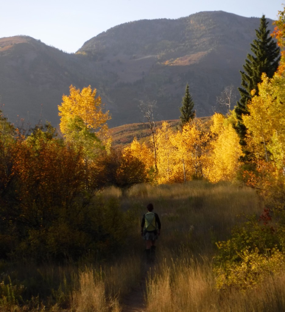
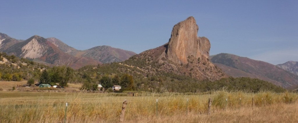
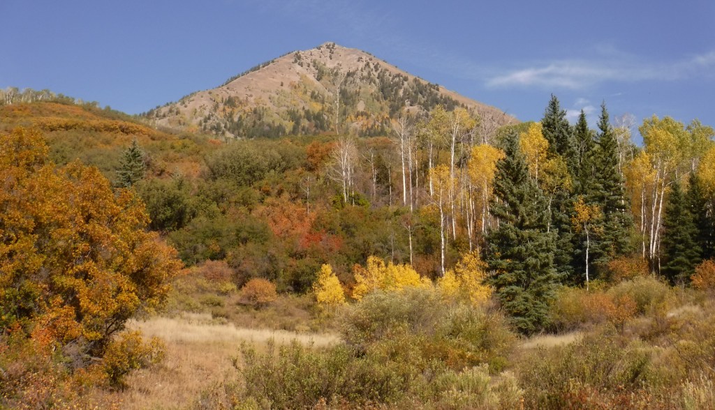
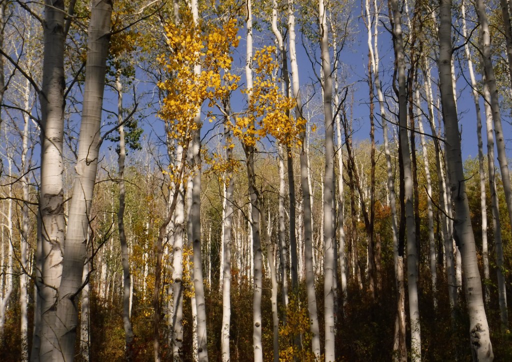
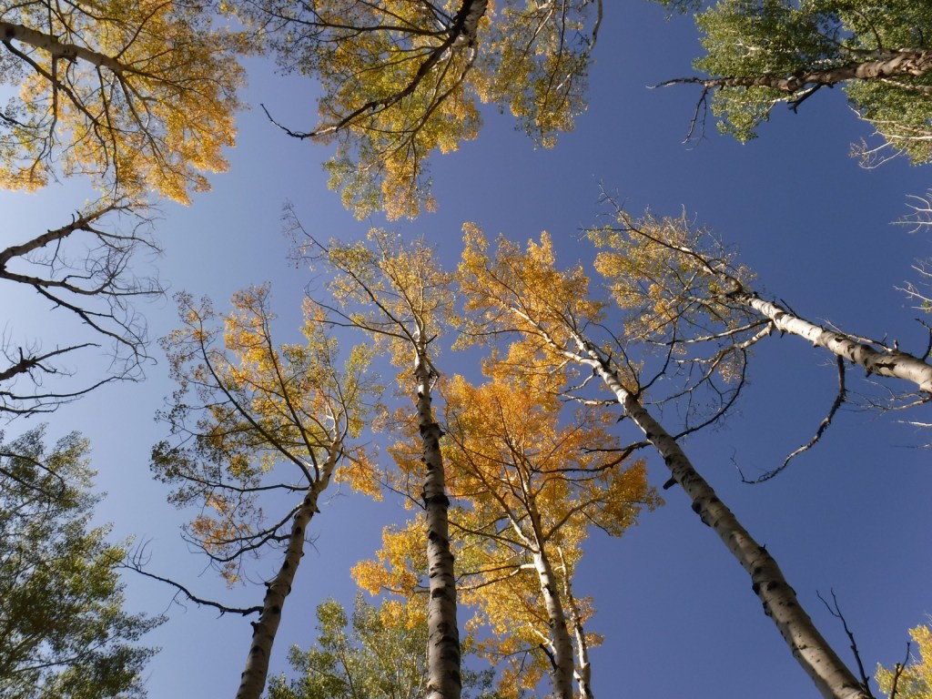
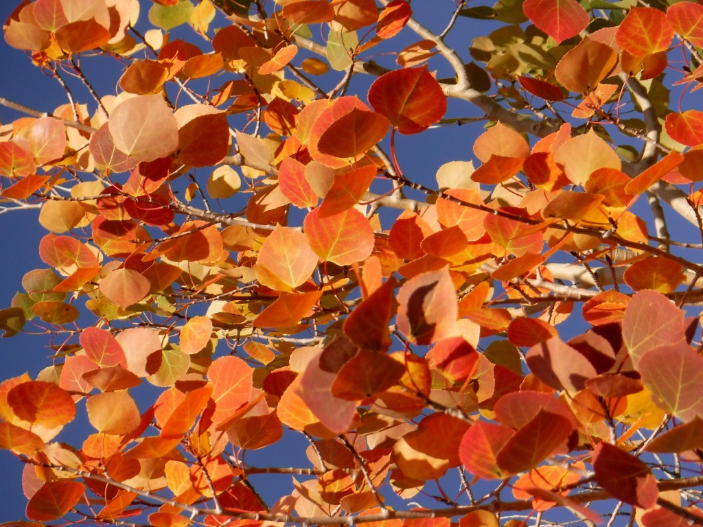
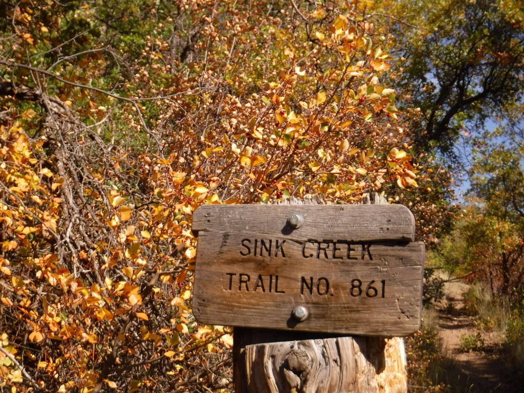
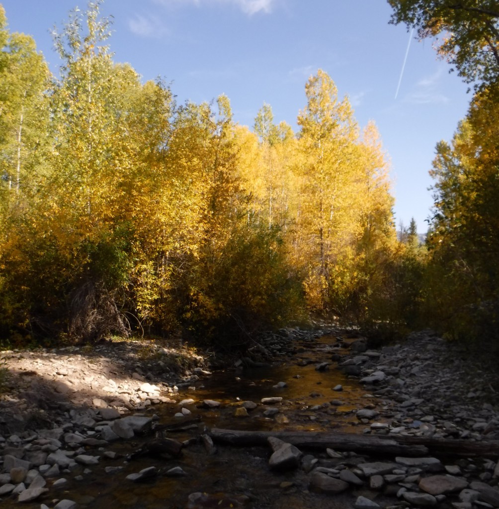
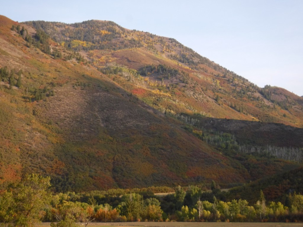
Just past the Bureau of Land Management (BLM) recreation site at Needle Rock, a gravel road enters Gunnison National Forest where two trailheads afford entrance into the West Elk Wilderness.  Throughline Trail heads northeast toward 12,719-foot Mt. Gunnison, but it can be connected with the Lone Pine Trail at the 3.5-mile point to form a loop with Sink Creek Trail (a total of 13 miles roundtrip).  We hiked a portion of Sink Creek Trail in late September when the aspen trees were changing colors and found a nice place for dispersed camping near the South Smith Fork Trailhead (high-clearance vehicle recommended).

Watchable Wildlife

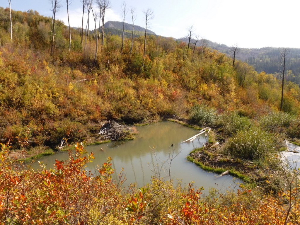
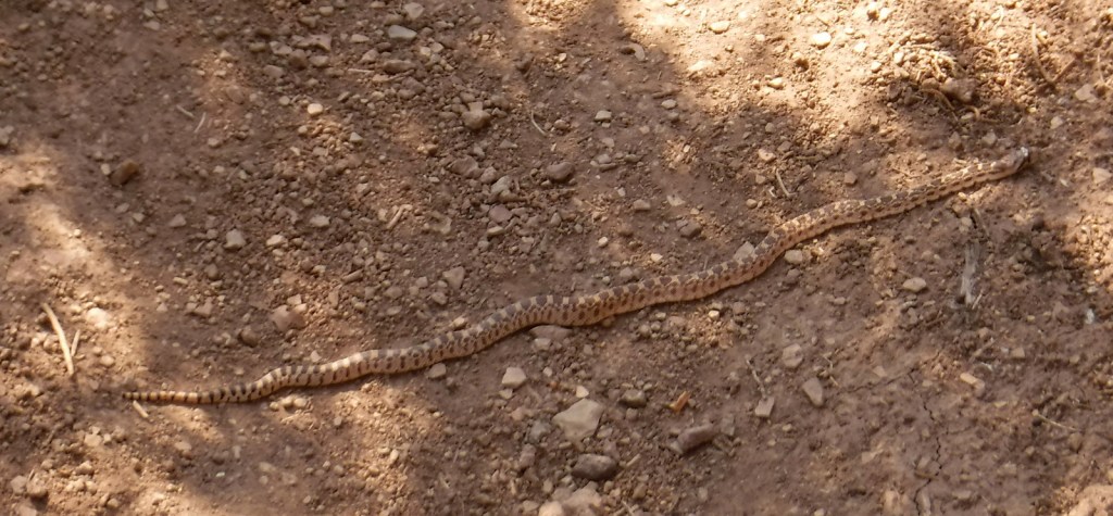
There are presumably elk in the mountainous West Elk Wilderness, as well as mule deer and bighorn sheep (a herd overwinters near the junction of the East and Taylor Rivers).  Mountain lions, black bears, and pine martens also inhabit Gunnison National Forest.  On our hikes we came across a gopher snake and a dam built by a beaver.  Watch the skies for raptors like golden eagles, red-tailed hawks, and peregrine falcons.

Instagram-worthy Photo

A good gravel road east of Crawford leads into Gunnison National Forest past Needle Rock Outstanding Natural Area, run by the Bureau of Land Management (BLM).  The landmark is a 28-million-year-old volcanic plug which can be explored on a steep trail that does not completely circle it because of private land.

Peak Season

Summer and fall

Fees

None

Road Conditions

Several paved highways crisscross the National Forest, including a stretch of the Silver Thread Scenic Byway.  Not every back road requires a high-clearance vehicle, as good graded roads go over Kebler Pass, Ohio Pass, and Cumberland Pass into the town of Pitkin.  Popular four-wheel-drive routes include Pearl Pass Road, Old Monarch Pass Road, and Schofield Pass north into Crystal Canyon. 

Camping

There are many nice campgrounds in Gunnison National Forest, including Slumgullion Campground at 11,200 feet, Lost Lake Campground next to a wildflower meadow, and Dorchester Campground on the road to 11,928-foot Taylor Pass (accessible by four-wheel-drive vehicles).  Dispersed camping is also allowed throughout the National Forest; we found a nice spot near the South Smith Fork Trailhead (high-clearance vehicle recommended).

Wilderness Areas

Collegiate Peaks Wilderness Area (also in San Isabel National Forest)

Fossil Ridge Wilderness

La Garita Wilderness (also in Rio Grande National Forest)

Maroon Bells-Snowmass Wilderness (also in White River and San Isabel National Forests)

Powderhorn Wilderness (also on BLM land)

Raggeds Wilderness (also in White River National Forest)

West Elk Wilderness

Uncompahgre Wilderness (also in Uncompahgre National Forest)

Related Sites

Arapaho National Forest (Colorado)

Colorado National Monument (Colorado)

Grand Mesa National Forest (Colorado)

Nearest National Park
Black Canyon of the Gunnison

Conifer Tree Species

Engelmann spruce, subalpine fir, Douglas-fir, ponderosa pine, lodgepole pine, two-needle pinyon pine, Rocky Mountain juniper

Flowering Tree Species

Gambel oak, quaking aspen, Utah serviceberry, red elderberry, sagebrush

Explore More – Who was John Gunnison, the Gunnison River’s namesake?

Learn more about this and the 154 other National Forests in our new guidebook Out in the Woods

Fishlake National Forest     

Fishlake National Forest           

Utah

Managed by U.S. Forest Service, Intermountain Region

1,539,737 acres (1,461,226 federal/ 78,511 other)

Website: https://www.fs.usda.gov/fishlake

Overview

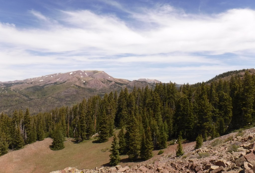
Much of Fishlake National Forest is at high elevation in central Utah, which is also true of its namesake Fish Lake that sits at 8,800 feet.  Fish Lake is the largest natural mountain lake in Utah and lent its name to the Fish Lake Cutoff on the Old Spanish Trail, which ran from Santa Fe to Los Angeles.  There are hundreds of miles of trails open to ATVs in the National Forest, including the 238-mile Paiute ATV Trail and the Gooseberry ATV Trails accessible from Interstate 70.  There are also plenty of trails for hikers, backpackers, mountain bikers, and equestrians, including the trail that crosses the South Fork of North Creek Trail 60 times as it covers ten miles leaving from beautiful Blue Lake at the base of Mt. Baldy.

Highlights

Beaver Canyon Scenic Byway, Wildcat Guard Station, Tushar Mountains, Delano Peak, Bullion Falls, Pistol Rock, Koosharem Canyon, Fishlake Scenic Byway, Fool Creek Canyon petroglyphs, Blue Lake, Bullion Canyon Trail System, Skyline National Recreation Trail, Lakeshore Trail, Old Spanish National Historic Trail

Must-Do Activity

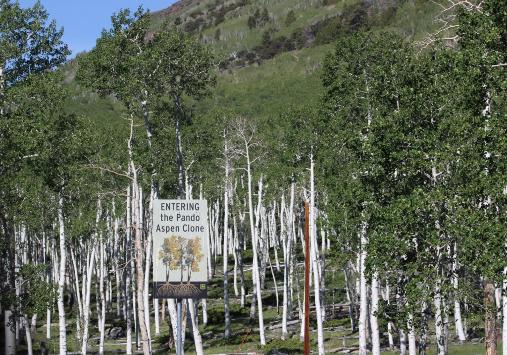
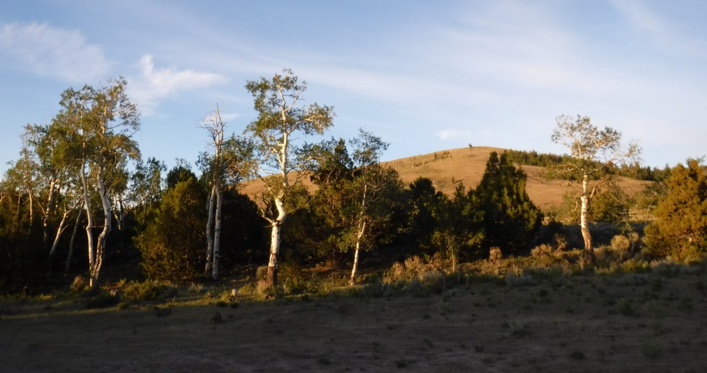
Fish Lake’s most famous resident is the aspen clone dubbed Pando (meaning “I spread” in Latin).  Connected by a single root system, stems of Pando cover 106 acres and it is estimated to have started growing 80,000 years ago, arguably making it the oldest and heaviest living organism on the planet.  Campers enjoy the popular Lakeshore Trail that is in four discontinuous sections adding up to about 15 miles.  We found the road to Pelican Promontory on the north side of the lake too rough for our passenger vehicle and the five-mile Pelican Canyon Trail too overgrown to follow after a mile, although we did see (and hear) a northern goshawk on nest. 

Best Trail

In the Tushar Mountains, Beaver Canyon Scenic Byway (Highway 153) switchbacks its way up to several trailheads for the 8.3-mile-long Skyline National Recreation Trail.  We attempted to access Lake Stream Trailhead in the middle, but found the road at Puffer Lake required high-clearance.  Instead, we drove the rough quarter-mile spur road to Big Flat Trailhead (at 10,220 feet in elevation) and hiked two miles to a rocky outcrop with good views.  We did not attempt to drive to the trail’s western terminus at Big John Flat Trailhead that sits beneath 12,173-foot Delano Peak.

Watchable Wildlife

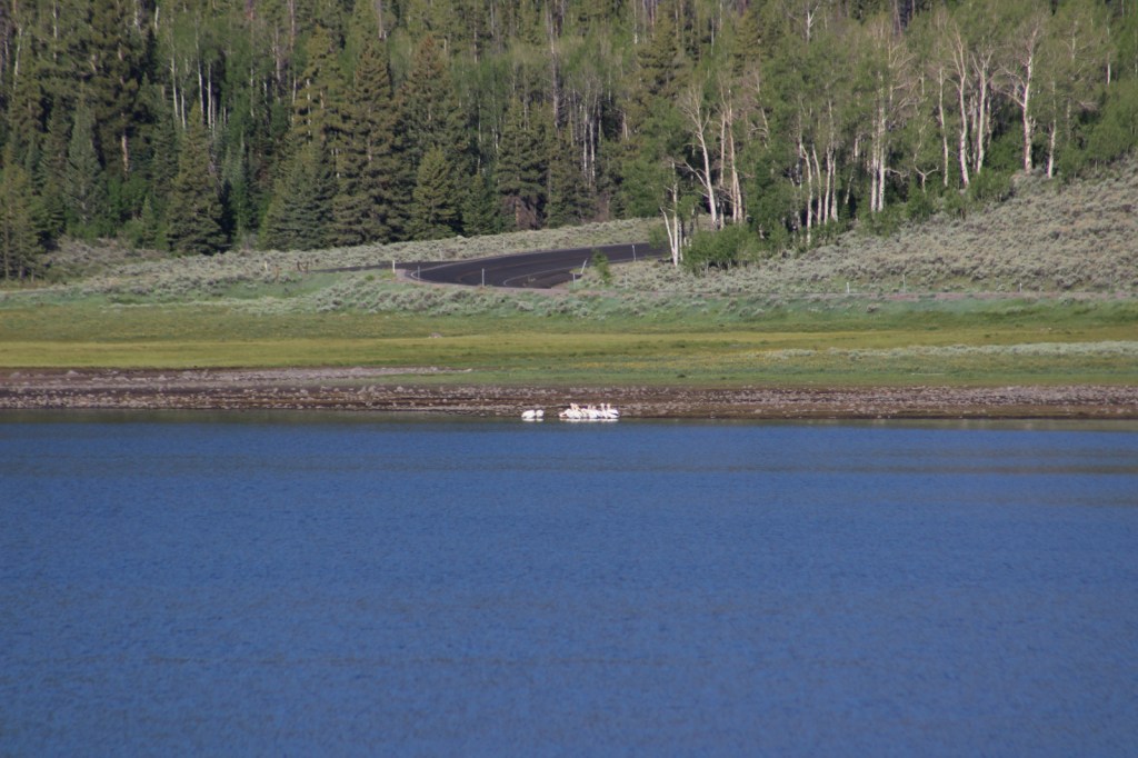
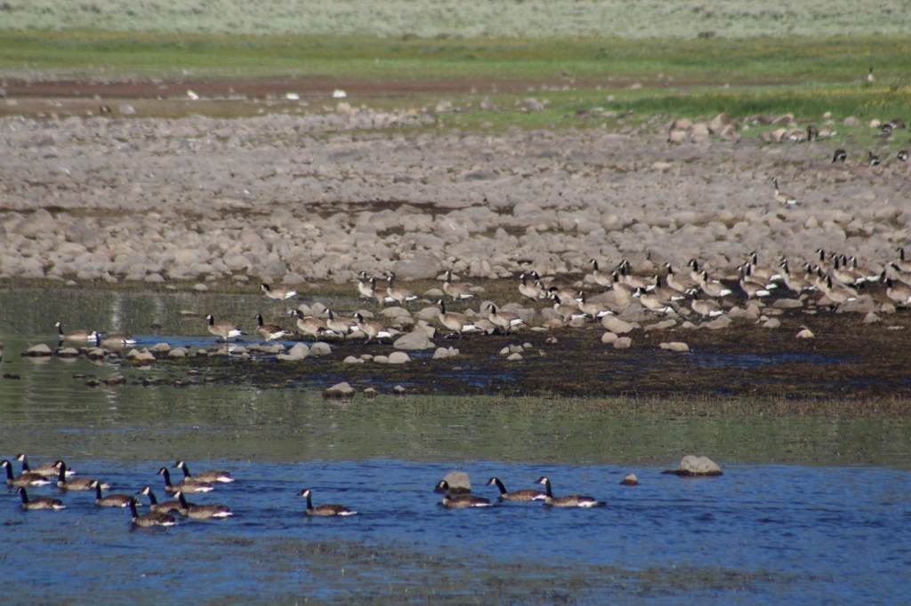
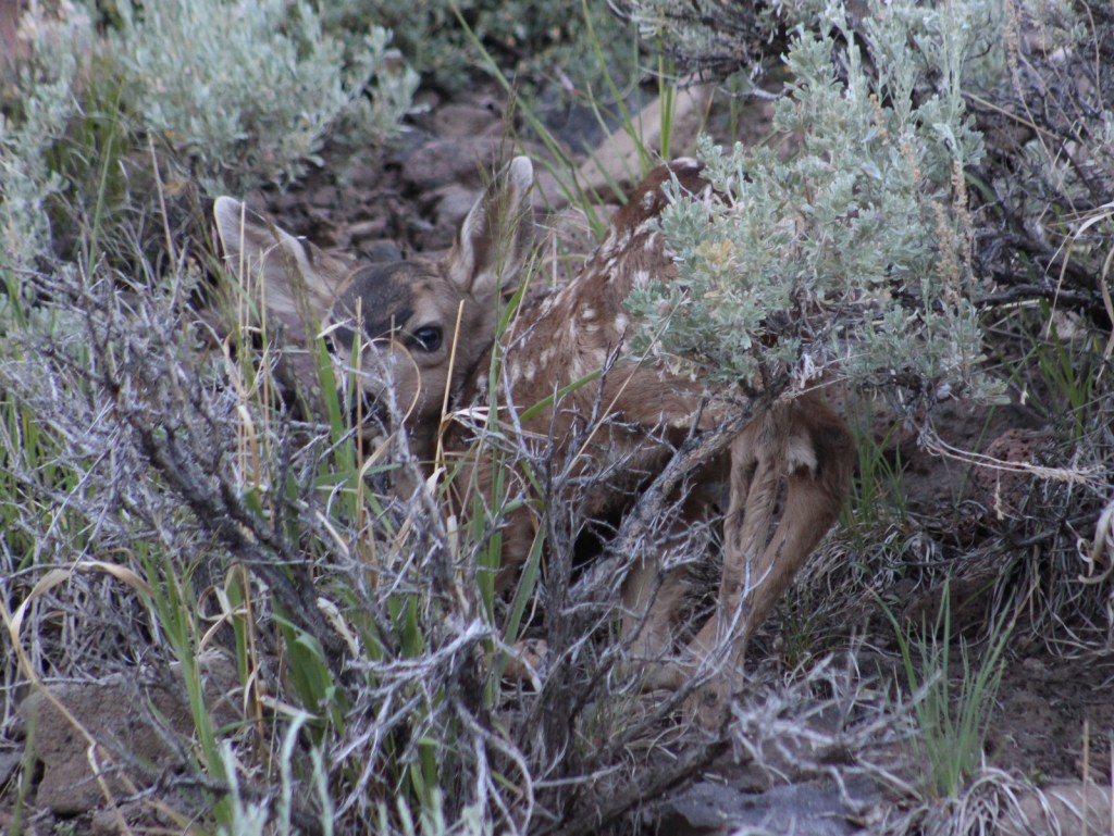
We first heard and then saw a northern goshawk on a nest (see photos) as we struggled to follow the overgrown Pelican Canyon Trail at Fish Lake.  Additional birds of note are bald eagles, kestrels, several species of owls, turkey vultures, Canada geese, white pelicans, and wild turkeys.  Ungulates found here are elk, mule deer, pronghorns, bighorn sheep, mountain goats, and even some moose.  Other large mammals include black bears, bobcats, mountain lions, red foxes, coyotes, pine martens, minks, badgers, porcupines, beavers, snowshoe hares, and pika.  As you might expect from a National Forest named Fishlake, fishing is a popular activity in the lakes and streams for rainbow trout, lake trout, splake, and other species, even in the winter.

Instagram-worthy Photo

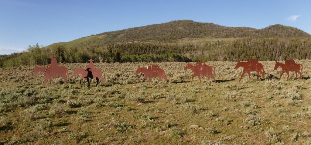
Stop at the informational pullout on the Fishlake Scenic Byway to read about the Fish Lake Cutoff of the Old Spanish Trail, then get your photo with the metal cutouts of a pack train in the sagebrush flats near Zedd’s Meadow.

Peak Season

Summer

Fees

$5 day use fee at Ponderosa Picnic Area or America the Beautiful pass

Road Conditions

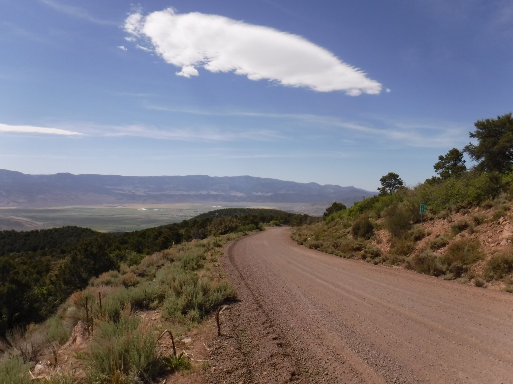
There are some rough roads in this area that require high-clearance vehicles, including the ones to Pelican Promontory and Puffer Lake.  Fishlake Scenic Byway and Beaver Canyon Scenic Byway are paved, but connecting between the two required driving some good gravel roads that were already snow free during our mid-June visit.

Camping

The Aquarius Ranger Station is available for rental from May through October, as are the historic cabins at the Gooseberry Administrative Site.  There are several campgrounds at Fish Lake and others located throughout the National Forest, in addition to one scenic spot on a ridge adjacent to the Second Crossing of Salina Creek in the White Mountains.

Wilderness Areas

None

Related Sites

Dixie National Forest (Utah)

Bryce Canyon National Park (Utah)

Cedar Breaks National Monument (Utah)

Nearest National Park

Capitol Reef

Conifer Tree Species

subalpine fir, white fir, Engelmann spruce, Douglas-fir, ponderosa pine, singleleaf pinyon pine, Utah juniper

Flowering Tree Species

quaking aspen, Gambel oak, bigtooth maple, Fremont cottonwood, sagebrush

Explore More – Which famous American explorer named the Old Spanish Trail in the 1840s (hint: he has a National Forest named after him, but maybe not the one you first think)?

Learn more about this and the 154 other National Forests in our new guidebook Out in the Woods

We are a participant in the Amazon Services LLC Associates Program, an affiliate advertising program designed to provide a means for us to earn fees by linking to Amazon.com and affiliated sites.