Tag Archives: trail

Timucuan Ecological and Historic Preserve

Overview

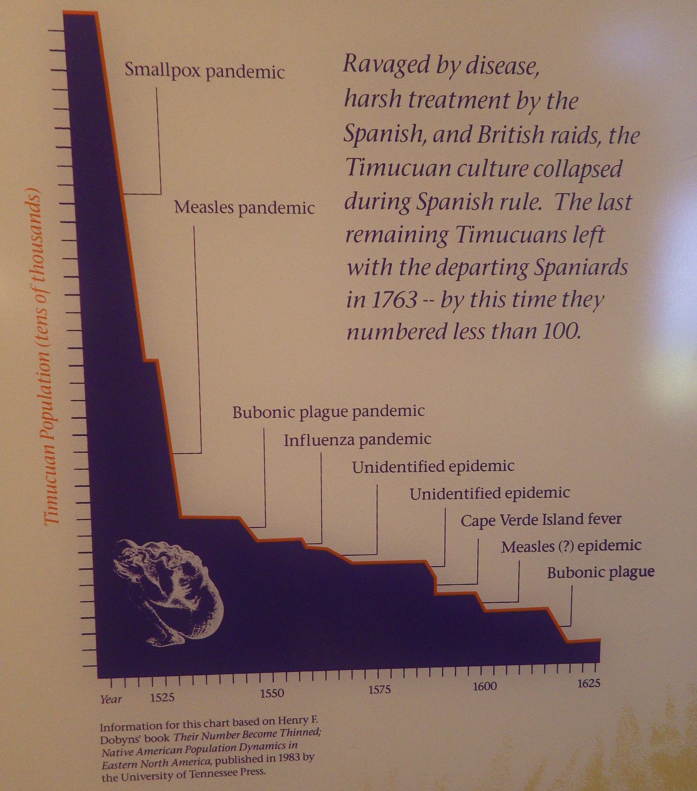
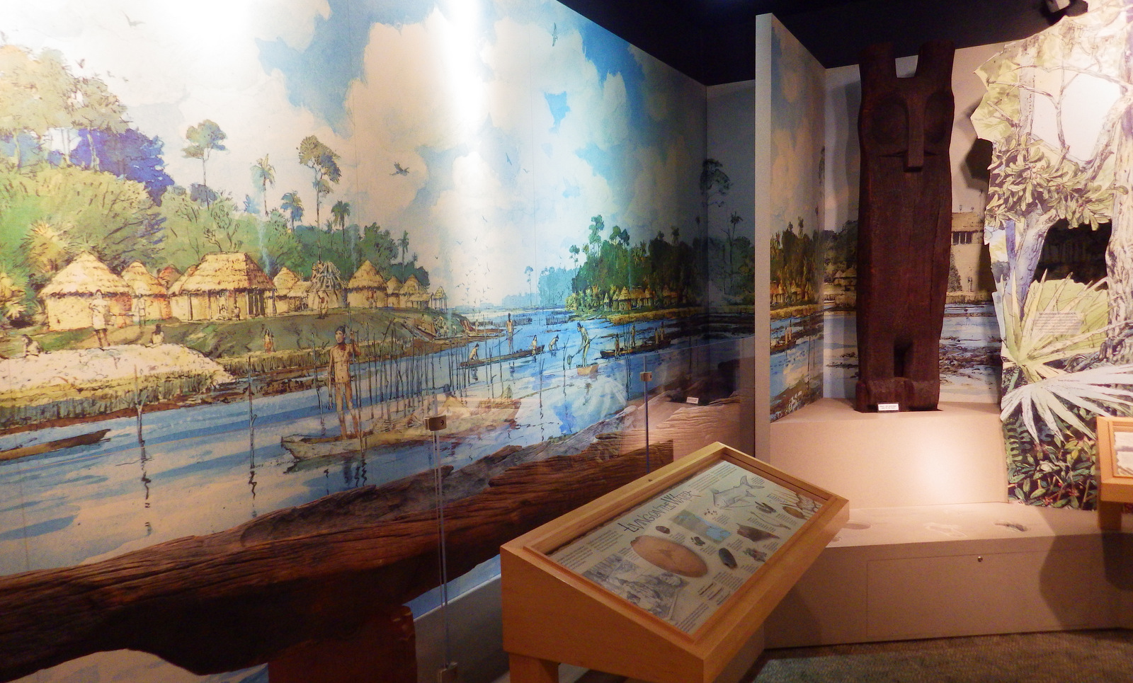
The Timucuan Indians inhabited northeastern Florida’s coastal wetlands and maritime hammocks when French colonists first arrived in 1562.  The settlers constructed Fort Caroline (a National Memorial established in 1950), which the National Park Service (NPS) administers as a unit of Timucuan Ecological and Historic Preserve (established in 1988).  Start your visit at the NPS museum at Fort Caroline National Memorial, which provides information on the indigenous Timucuan, as well as the European colonization efforts.  Then you can tour a one-third scale reconstruction of the triangular Fort Caroline based upon a drawing from 1564 by French artist Jacques le Moyne.

Highlights

Fort Caroline, Kingsley Plantation, Theodore Roosevelt Area

Must-Do Activity

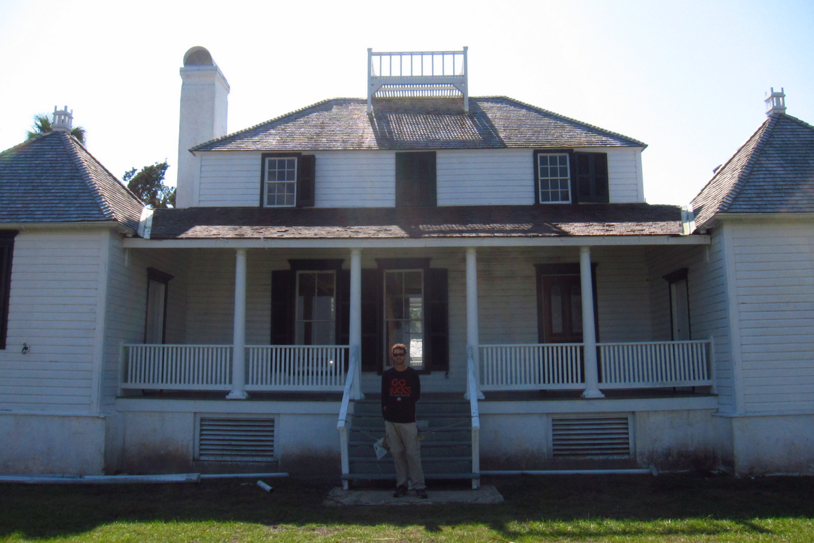
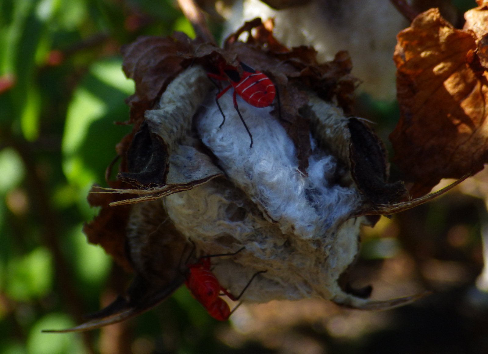
The second place the NPS manages a visitor center is at Kingsley Plantation on Fort George Island east of Jacksonville, Florida.  Established in 1798, it is the oldest remaining plantation house in Florida.  Slaves here harvested Sea Island cotton, which is still grown in a small garden alongside indigo, another regional cash crop.  Visitors can take a self-guided trail around the property, but tours inside the main plantation house are only offered on weekends and require a reservation.

Best Trail

The 1.5-mile Willie Browne Trail winds through the 600 undeveloped acres at Theodore Roosevelt Area, donated by the trail’s namesake to the Nature Conservancy in 1969.  The Spanish Pond Trail connects this trail with Fort Caroline National Memorial.

Instagram-worthy Photo

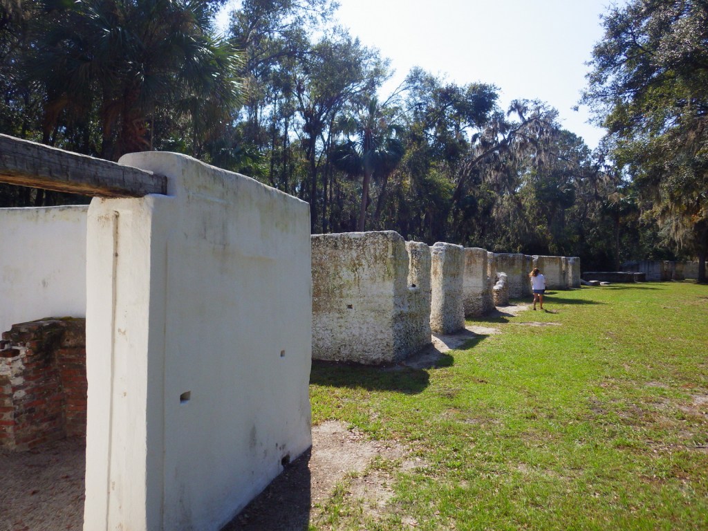
The tabby walls of 23 of the original 32 slave quarters still stand in a row at Kingsley Plantation. 
Peak Season

Winter

Hours

https://www.nps.gov/timu/planyourvisit/hours.htm

Fees

None

Road Conditions

All major roads are paved, but the fastest route between Fort Caroline and Kingsley Plantation is probably via the St. Johns River Ferry.

Camping

The NPS does not have a campground, but nearby Little Talbot Island State Park, Huguenot Memorial Park, and Kathryn Abbey Hanna Park all do.

Related Sites

Fort Caroline National Memorial (Florida)

Fort Matanzas National Monument (Florida)

Castillo de San Marcos National Monument (Florida)
Explore More – Florida had “relatively liberal” racial policies under Spanish rule, but that changed when it became a U.S. territory in what year?
Crater Lake National Park

Overview

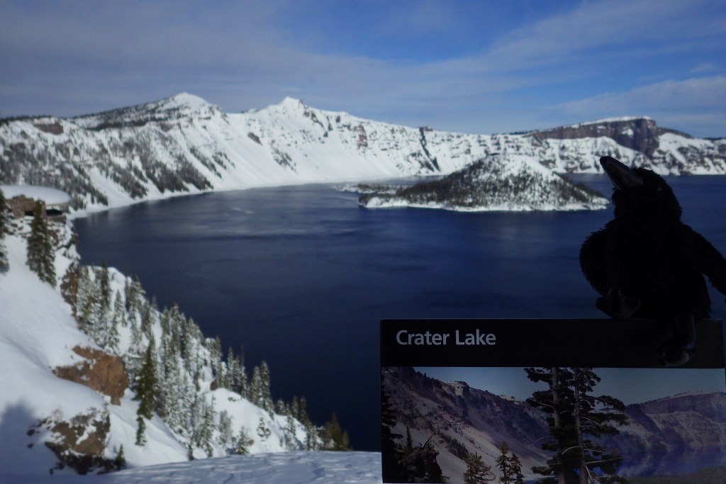
Formed by a cataclysmic volcanic eruption about 8,000 years ago, Crater Lake National Park protects a nearly round caldera about five miles in diameter.  It is the deepest lake in the country at 1,943 feet, which is a major reason why in 1902 it was named the sixth National Park in the U.S.  When we first visited back in July 2010 most of Rim Drive was still closed due to snow, but in July 2014 there was little snow to be found anywhere.

For Learn more in our guidebook to the National Parks, A Park to Yourself: Finding Adventure in America’s National Parks (available on Amazon).

Highlights

Rim Village, Cleetwood Trail, Cloudcap Overlook, Castle Crest Wildflower Trail, Mount Scott

Must-Do Activity

That very first view you get from the rim is so overwhelming that it is worth whatever effort you have to put in to arrive there.  Bring a coat, though, since at this high elevation we are pretty sure it can snow any month of the year.  Crater Lake has no inlets or outlets and its crystal-clear waters were fish free until some were introduced in the early 1900s.  The only way to get on the water is to hike down the steep one-mile Cleetwood Trail to a boat run by a park concessionaire.  Make sure you have purchased your ticket beforehand or you will be hiking back up to get one. 

Best Trail

We enjoyed the short but colorful Castle Crest Wildflower Trail, as well as the Pinnacles Overlook Trail where fossilized fumaroles mimic the conical shape of conifers.

Instagram-worthy Photo

Pictures truly do not do Crater Lake justice, but stop along Rim Drive to get a closer look at Wizard Island and the Phantom Ship, the only two islands that emerge from the lake.

Peak Season

Late summer

Hours

https://www.nps.gov/crla/planyourvisit/hours.htm

Fees

$30  per vehicle or America the Beautiful pass, but no entry fee in winter

Road Conditions

While some roads are closed most of the year, the National Park Service (NPS) plows the main entry road year round.  Bring your snowshoes!

Camping

The NPS manages two campgrounds in summer (although smaller Lost Creek only allows tent camping), or you can head to the neighboring National Forests for developed and dispersed campsites.

Related Sites

Oregon Caves National Monument and Preserve (Oregon)

John Day Fossil Beds National Monument (Oregon)

Mount Rainier National Park (Washington)

This design we created to celebrate Crater Lake National Park is available on a variety of products at Cafe Press and Amazon.

Explore More – What was the name of the vast volcano that existed here before it collapsed nearly 7,700 years ago?

We are a participant in the Amazon Services LLC Associates Program, an affiliate advertising program designed to provide a means for us to earn fees by linking to Amazon.com and affiliated sites.

Hovenweep National Monument

Overview

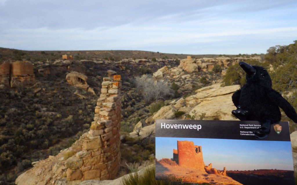
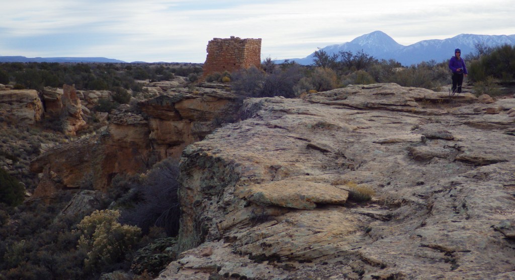
Partially surrounded by Canyons of the Ancients National Monument (run by the Bureau of Land Management), Hovenweep National Monument occupies a remote area on the southern Utah-Colorado border.  Established in 1923, it is composed of six units, the largest of which has a National Park Service (NPS) visitor center on the rim of Little Ruin Canyon, the location of the variable architectural styles of Square Tower Group. 

Highlights

Square Tower Group, Holly Group, Cajon Group, Hackberry Group, Cutthroat Castle Group

Must-Do Activity

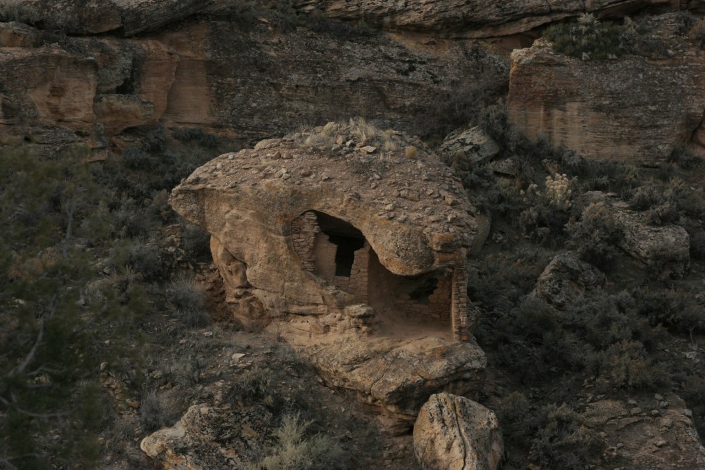
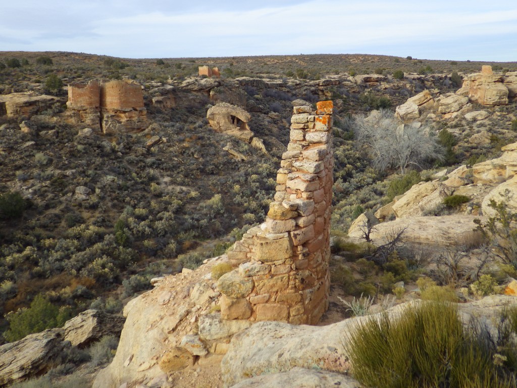
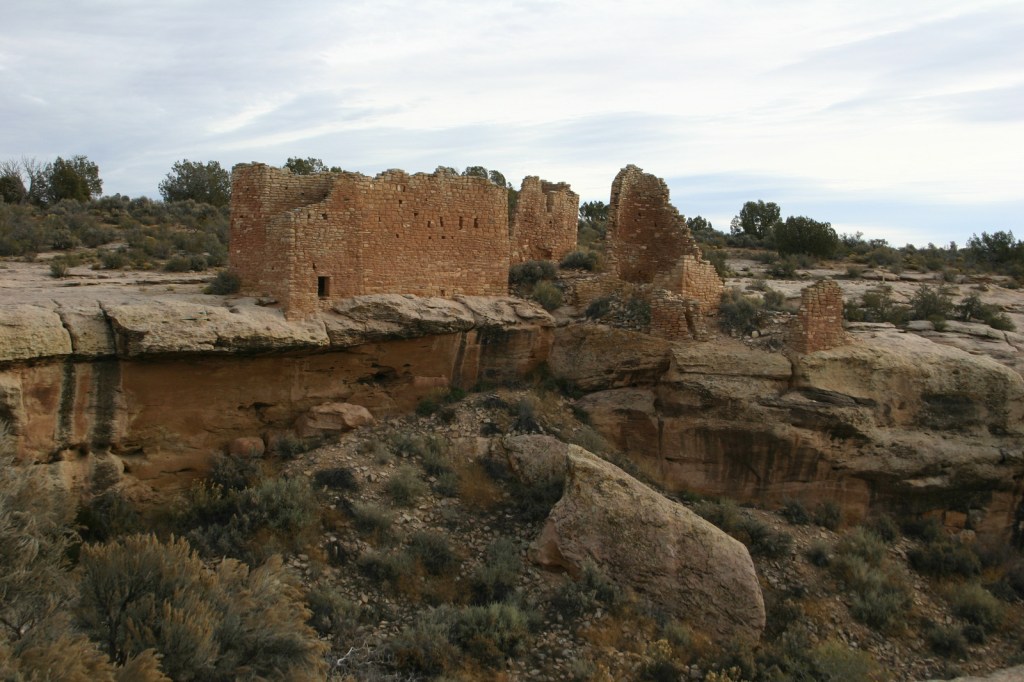
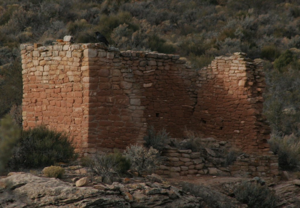
At Square Tower Group a two-mile loop hike takes visitors past an impressive collection of structures that date back to the 1200s, the same period that Ancestral Puebloans inhabited nearby Mesa Verde National Park.  The variety of building styles in this narrow canyon is remarkable, from Square Tower and Hovenweep Castle to Twin Towers and the unique Eroded Boulder House.  There is almost no shade to be found on the sagebrush plain of Cajon Mesa, so visiting in the heat of summer may not be as enjoyable.  The good news is that it makes for boundless vistas, especially to the south where Sleeping Ute Mountain looms.

Best Trail

The loop trail at Square Tower Group is paved and wheelchair accessible to the first overlook at Stronghold Point, but then gets much rougher over its two miles, especially at the end where it drops into Little Ruin Canyon.  A four-mile one-way trail connects this area to the Holly Group of ruins.

Instagram-worthy Photo

Little Ruin Canyon has one of the highest density collections of ruins anywhere in the southwest U.S., including the cool Eroded Boulder House, a part of the Square Tower Group.

Peak Season

Spring and fall

Hours

https://www.nps.gov/hove/planyourvisit/hours.htm

Fees

$20 per vehicle or America the Beautiful pass

Road Conditions

Despite its remote location, roads are paved to Square Tower Group, but accessing most of the other units requires driving or hiking rough dirt roads.  Further east in Colorado’s Canyons of the Ancients National Monument, visitors can drive well-maintained roads to the Escalante Ruins and Lowry Pueblo, as well as the two trailheads for Sand Canyon.

Camping

The NPS runs a 30-site campground (for a fee) at its visitor center near Square Tower Group.  Dispersed camping is allowed in many parts of Canyons of the Ancients National Monument.

Related Sites

Yucca House National Monument (Colorado)

Natural Bridges National Monument (Utah)

La Sal National Forest (Utah)

Nearest National Park

Canyonlands

Explore More – Hovenweep is a Ute-Paiute word that translates as what?

Top 10 NPS Sites for Biking

Many visitors to the National Park Service (NPS) system bring along their bicycles to fully enjoy their vacation, planning to ride on paved pathways or bumpy trails.  Although some NPS hiking and horse trails are closed to bikes, many allow them and some have been built just for them.  For example, a paved bike trail now connects Jackson, Wyoming with Grand Teton National Park.  The NPS sites we chose for this list all have trails specifically designated for bicycle use.  Click here to see all of our Top 10 Lists.

10. Canyonlands National Park (Utah)

Moab, Utah is a mountain biking mecca and the 100-mile White Rim Road is a popular challenge

9. Point Reyes National Seashore (California)

Although excluded from Wilderness areas, there are plenty of other roads and trails to explore north of San Francisco

8. Indiana Dunes National Park (Indiana)

The park has several designated bike trails, including the 9-mile Calumet Bike Trail

7. Mammoth Cave National Park (Kentucky)

Mountain biking the 32-mile Ferry Loop includes a ferry trip across the Green River, or try the 10-mile Mammoth Cave Railroad Bike and Hike Trail

6. Chesapeake and Ohio Canal National Historical Park (Maryland-West Virginia-District of Columbia)

You can bike the entire 184.5-mile graded towpath that follows the Potomac River, camping at designated sites along the way

5. George Washington Memorial Parkway (Virginia)

The 18-mile Mount Vernon Trail passes NPS sites like Theodore Roosevelt Island and Lyndon Baines Johnson Memorial Grove on the Potomac

4. Mississippi National River and Recreation Area (Minnesota)

A 72-mile bike path follows the mighty Mississippi River through Minnesota

3. New River Gorge National Park and Preserve (West Virginia)

Stone Cliff, Southside, Kaymoor, and Keeney’s Creek Rail Trail all track the New River, or try the 13 miles of mountain bike trails built by the Boy Scouts of America

2. Acadia National Park (Maine)

The 45 miles of carriage roads are excellent for biking, but remember to yield to horses

…and finally the #1 National Park Service site for biking:

1. Cuyahoga Valley National Park (Ohio)

A popular day trip is to bike 20 miles of the Ohio & Erie Canal Towpath Trail then pick up the Cuyahoga Valley Scenic Railroad for a cheap return ticket

Honorable Mentions

Yellowstone National Park (Wyoming-Montana-Idaho)

Every spring when snow plows are working to clear roads, bicycles get exclusive access to the Great Loop Road, but come prepared because there are no services

Glacier National Park (Montana)

Many cross-country bikers choose to take Logan Pass (6,646 feet) across the Continental Divide, but keep in mind that the 50-mile long Going-to-the-Sun Road is closed to bicycles between 11 a.m. and 4 p.m.

Great Smoky Mountains National Park (Tennessee-North Carolina)

Most trails are closed to bicycles, but there are designated times when Cades Cove Loop Road is closed to motorists to allow bikers

Tiff at Great Basin National Park in Nevada

Cuyahoga Valley National Park

Overview

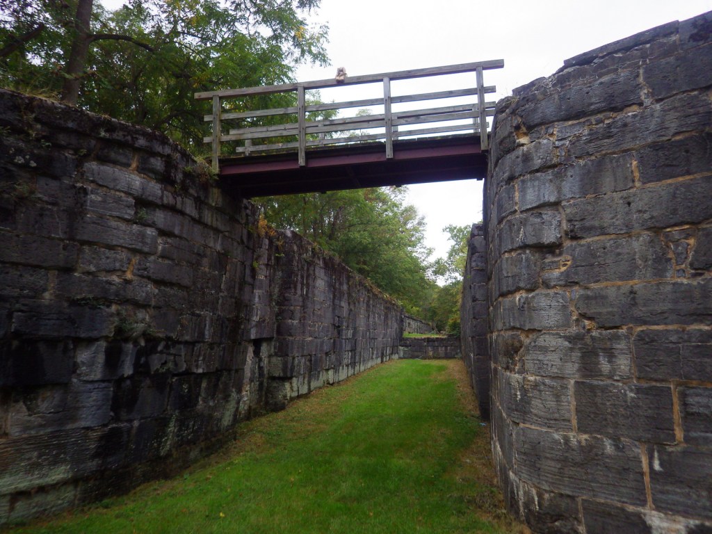
If you did not know there was a National Park in Ohio it is understandable since Cuyahoga Valley National Park was not officially designated until 2000.  It is centered around the historic Ohio and Erie Canal, which opened in 1827 to connect Akron to the port of Cleveland on Lake Erie.  Cuyahoga is an American Indian word meaning “crooked” and you will see why if you walk or bike down the 19-mile Towpath Trail where mules once pulled line boats through a series of locks (be sure to stop at Canal Visitor Center at Lock 38).  If you plan it right, you can take your bike on board the Cuyahoga Valley Scenic Railroad for a cheap one-way ride.

Learn more in our guidebook to the National Parks, A Park to Yourself: Finding Adventure in America’s National Parks (available on Amazon).

Highlights

Brandywine Falls, Lock 38, Hunt Farm, Everett Road Covered Bridge, Gorge Parkway

Must-Do Activity

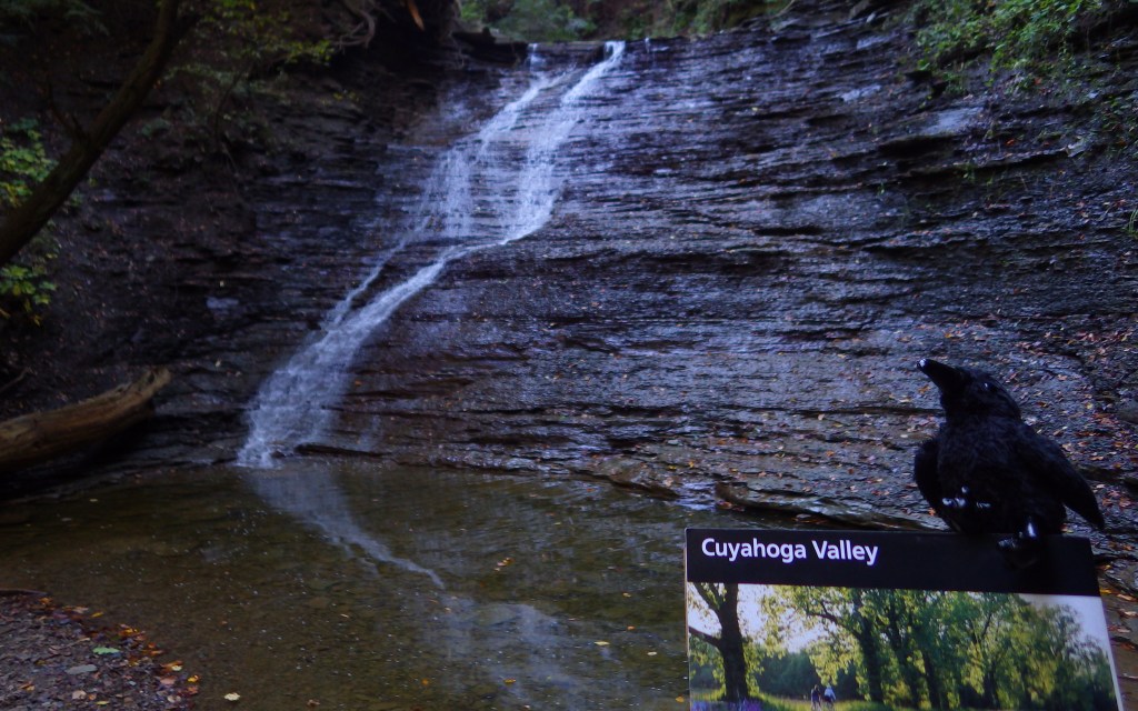
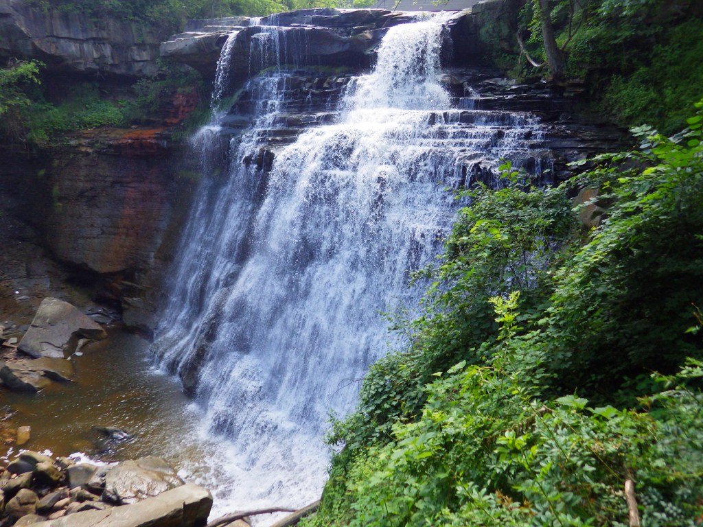
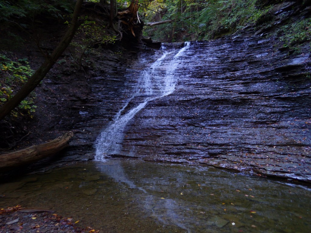
In the park’s southern end near Akron-Canton, you will find a great blue heron rookery and beaver marsh along the crooked Cuyahoga River.  In the central section, you must stop to see the cascades of Brandywine Falls (see it depicted below in our original logo).  Closer to Cleveland, discover the Bedford Reservation along Gorge Parkway, including beautiful Bridal Veil Falls.  For a little culture in the outdoors, look up the summer schedule for Blossom Music Center or Porthouse Theatre.  Fall is an especially popular time to visit when the leaves change, but with over 100 miles of trails within the park, there is plenty to explore in every season.

Best Trail

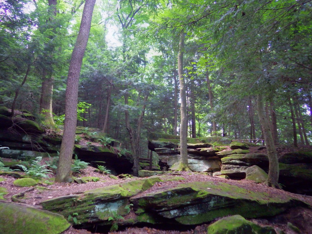
We highly recommend a hike on the two-mile Ledges Loop Trail where mossy sandstone cliffs are cloaked by a dense forest of hemlock and hardwood trees.  Once a popular destination on the trail, Ice Box Cave is closed to protect the resident bat population, but similar spots nearby still offer a chance for exploration.

Instagram-worthy Photo

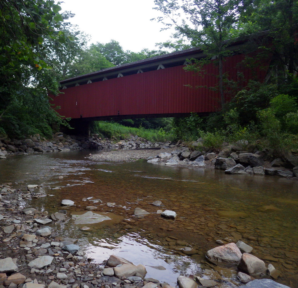
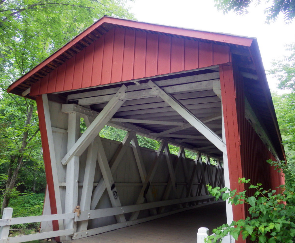
In the southern end of the park, Everett Road Covered Bridge has been rebuilt to demonstrate this once common construction method.

Peak Season

Fall

Hours

https://www.nps.gov/cuva/planyourvisit/hours.htm

Fees

None

Road Conditions

All roads paved

Camping

There is no official campground in the park, but there are a variety of other lodging options including the historic Inn at Brandywine Falls.

Related Sites

Allegheny Portage Railroad National Historic Site (Pennsylvania)

James A. Garfield National Historic Site (Ohio)

First Ladies National Historic Site (Ohio)

This design we created to celebrate Cuyahoga Valley National Park is available on a variety of products at Cafe Press and Amazon.

Explore More – Who manages the Hale Farm and Village where costumed re-enactors bring history to life?

We are a participant in the Amazon Services LLC Associates Program, an affiliate advertising program designed to provide a means for us to earn fees by linking to Amazon.com and affiliated sites.