Francis Marion National Forest
South Carolina
Managed by U.S. Forest Service, Southern Region
414,700 acres (258,864 federal/ 155,836 other)
Website: https://www.fs.usda.gov/scnfs
Overview
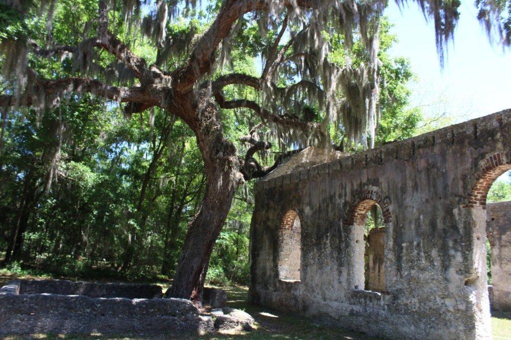
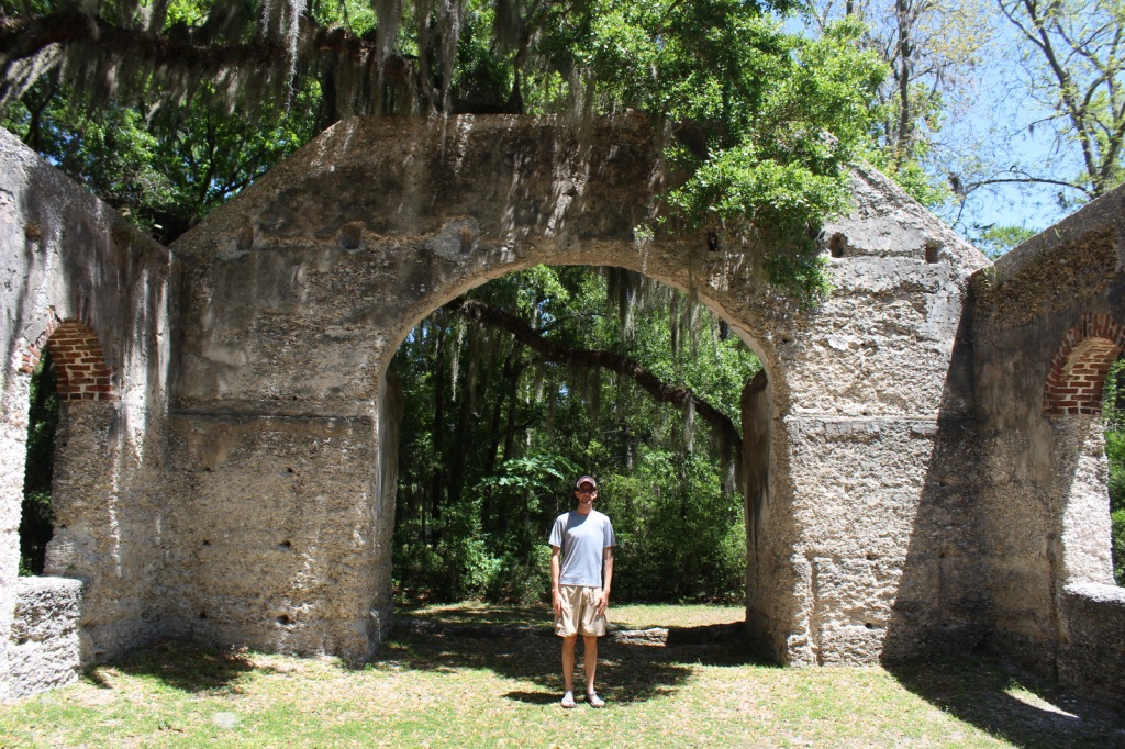
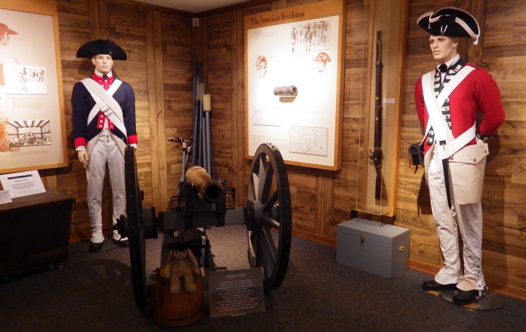
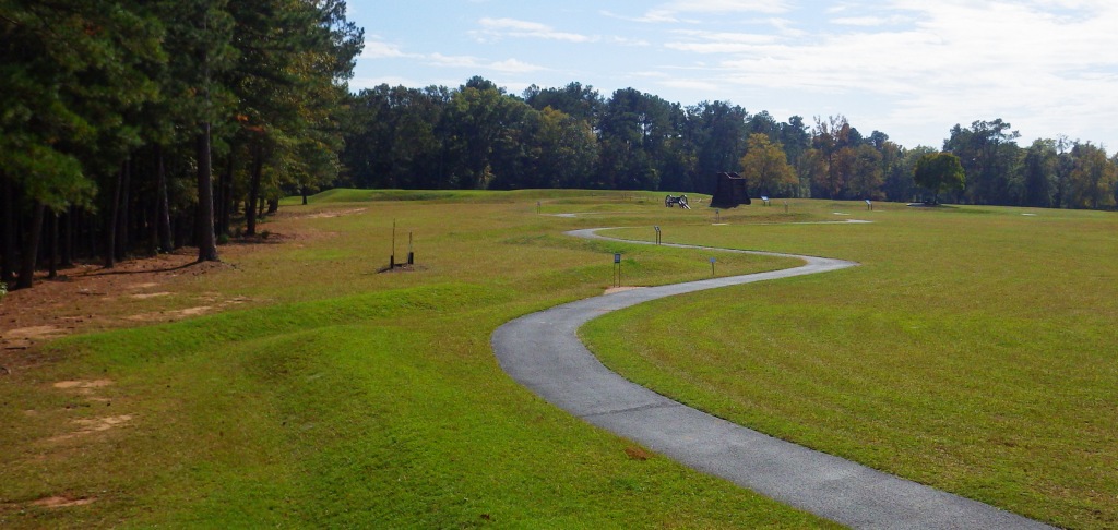
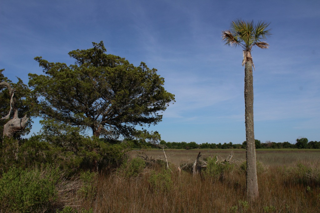
Located on South Carolina’s coast between Myrtle Beach and Charleston, Francis Marion National Forest was devastated by the 130-mile-per-hour winds of Hurricane Hugo in 1989. Young and damaged trees have grown back in the subtropical coniferous and maritime forests, although some attractions like the Sewee Shell Ring Boardwalk have never been rebuilt. Other historic sites in the National Forest include the 1768 St. James Church, Battery Warren from the Civil War, and Watahan Historical Area, which has colonial plantations and the site of a 1782 Revolutionary War battle. On the Santee River, Guilliard Lake Scenic Area has three trails that visit an old-growth baldcypress forest, but the National Forest’s four Wildernesses are mostly inaccessible wetlands.

Highlights
Sewee Visitor and Environmental Education Center, Buck Hall Recreation Area, Battery Warren Historic Site, Huger Recreation Area, Honey Hill Recreation Area, I’on Swamp Interpretive Trail, Shell Ring Trail, Palmetto Trail
Must-Do Activity
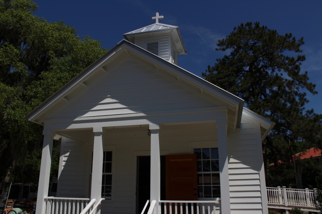
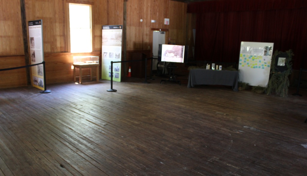
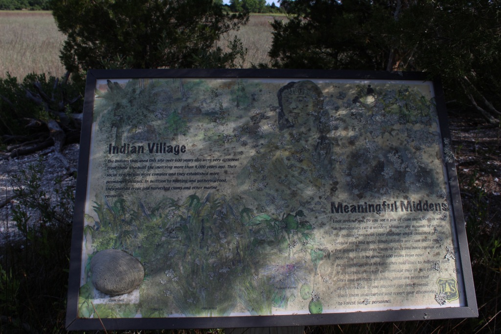
Sewee Visitor and Environmental Education Center is a good place to start a visit, and includes an exhibit on reintroducing red wolves. Not far away, Sewee Shell Ring Boardwalk was never rebuilt after Hurricane Hugo in 1989, but the trail to the boardwalk remains open (despite what you might read online). A one-mile loop trail takes visitors to a 4,000-year-old ceremonial ring made of oyster shells and a 600-year-old shell midden, but no longer out into the salt marsh. Another historic walk is the I’on Swamp Interpretive Trail where signs explain the embankments and ditches built by slaves to create rice paddies.
Best Trail
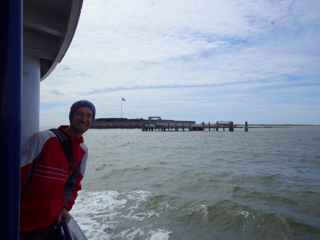
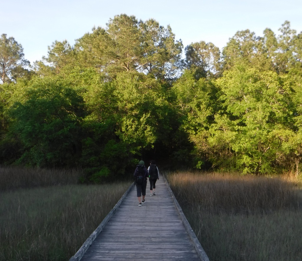
A free permit is required to backpack the Palmetto Trail on its 47-mile stretch through Francis Marion National Forest. The easternmost seven miles of this statewide trail was opened in 2003 running from the Swamp Fox Trailhead to Buck Hall Recreation Area (fee) on the Intracoastal Waterway bordering Cape Romain National Wildlife Refuge. Both trailheads are easily accessible from Highway 17. This sandy section of the Palmetto Trail is known as the Awendaw Passage because it follows Awendaw Creek for most of its length. There are bridges and boardwalks built over the wettest areas, but very few good places to set up a campsite due to the density of the forest understory.
Watchable Wildlife
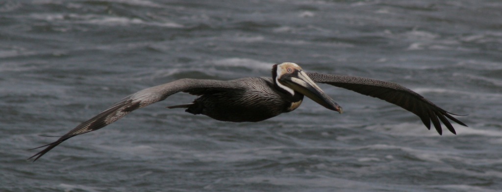
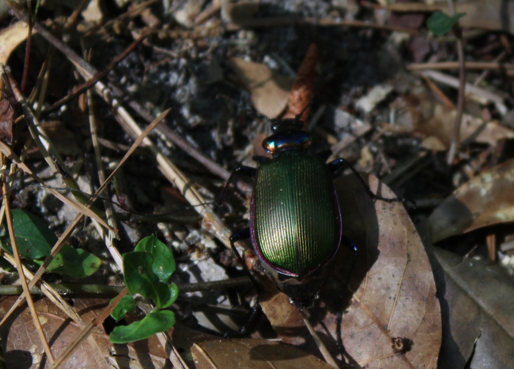
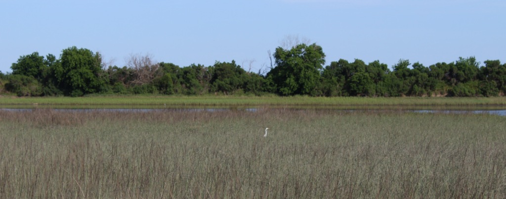
We saw a variety of wildlife in Francis Marion National Forest, including coastal species you do not find in any other National Forest, like crabs and mussels. The salt marshes provide habitat for large birds like Mississippi kites, ospreys, little blue herons, and great egrets. We spotted red-headed woodpeckers and pileated woodpeckers, and there are also endangered red-cockaded woodpeckers. While backpack camping, we saw fireflies, bats, fox squirrels, and a seldom-seen whippoorwill, a bird known for its distinctive, repetitive calls at night. In Awendaw Creek, we saw a muskrat and four-foot-long rat snake, but did not find any alligators or river otters.
Instagram-worthy Photo
Battery Warren was built by slaves during the Civil War so soldiers could defend the railroad bridge across the Santee River. The earth embankments are still visible at the end of a short trail maintained by the U.S. Forest Service.

Peak Season
Spring
Fees
There is a fee to park and launch a boat at Buck Hall Recreation Area. A free permit (available online) is required to backpack camp on the Palmetto Trail in Francis Marion National Forest.
Road Conditions
The main roads cutting through the National Forest are paved, and even the unpaved roads we drove were flat, packed sand.
Camping
Buck Hall Campground is located at a boat launch on the Intracoastal Waterway, while scenic Edmund Campground has Spanish moss-draped trees near the northern end of Wambaw Creek Wilderness. Huger Campground and Halfway Campground are located along the Palmetto Trail. Extensive wetlands and thick woodlands make dispersed camping and backpacking difficult in Francis Marion National Forest.
Wilderness Areas
Hell Hole Bay Wilderness
Little Wambaw Swamp Wilderness
Wambaw Creek Wilderness
Wambaw Swamp Wilderness
Related Sites
Fort Sumter and Fort Moultrie National Historical Park (South Carolina)
Reconstruction Era National Historical Park (South Carolina)
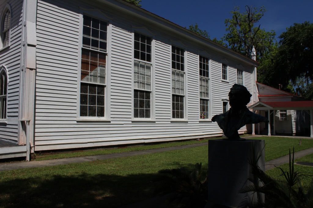
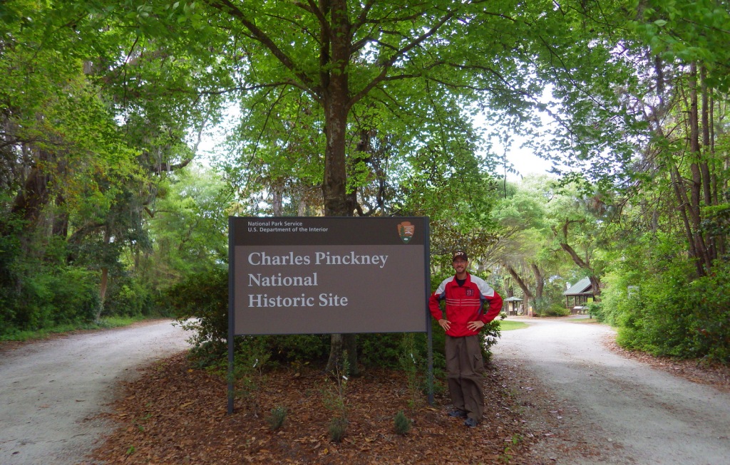
Charles Pinckney National Historic Site (South Carolina)
Croatan National Forest (North Carolina)
Nearest National Park


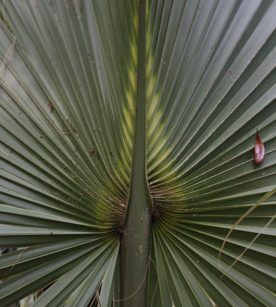


baldcypress, longleaf pine, shortleaf pine, loblolly pine
tulip-poplar, sweetgum, American holly, yaupon holly, live oak, overcup oak, water oak, cherrybark oak, willow oak, southern red oak, white oak, American beech, green ash, red bay, red buckeye, swamp cottonwood, water tupelo, water locust, water hickory, bitternut hickory, sweet bay magnolia, Carolina willow, titi, southern bayberry
Explore More – What was Francis Marion’s nickname earned by employing guerilla tactics against the British during the American Revolutionary War?

Learn more about this and the 154 other National Forests in our new guidebook Out in the Woods
We are a participant in the Amazon Services LLC Associates Program, an affiliate advertising program designed to provide a means for us to earn fees by linking to Amazon.com and affiliated sites.