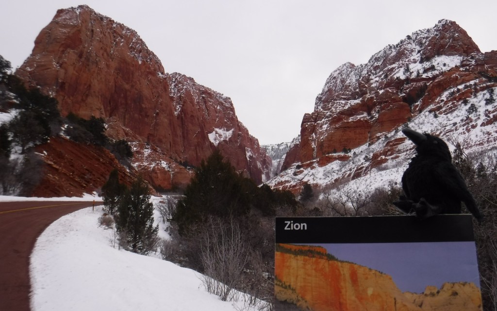
Zion National Park
Utah
Managed by National Park Service
Established 1909 National Monument, 1919 National Park
146,598 acres
Website: nps.gov/zion
Overview
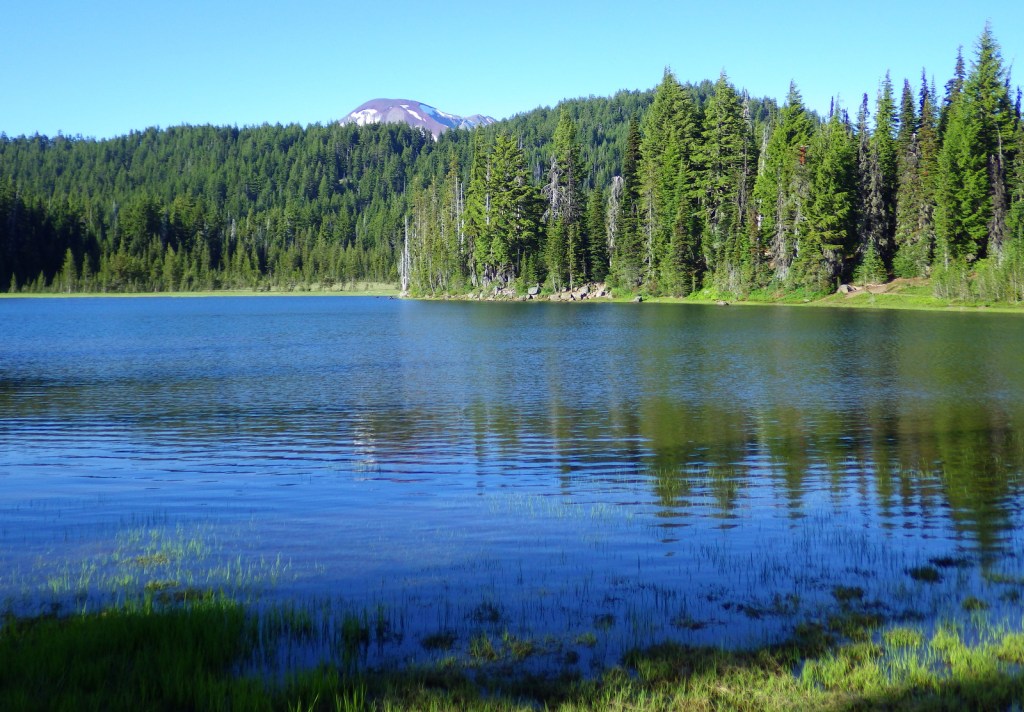
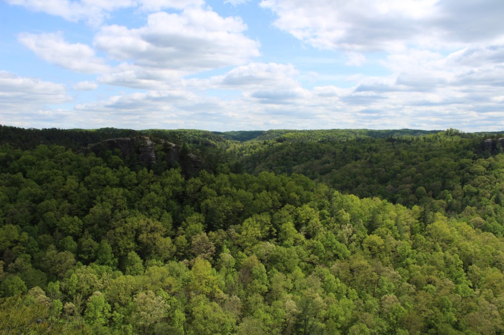
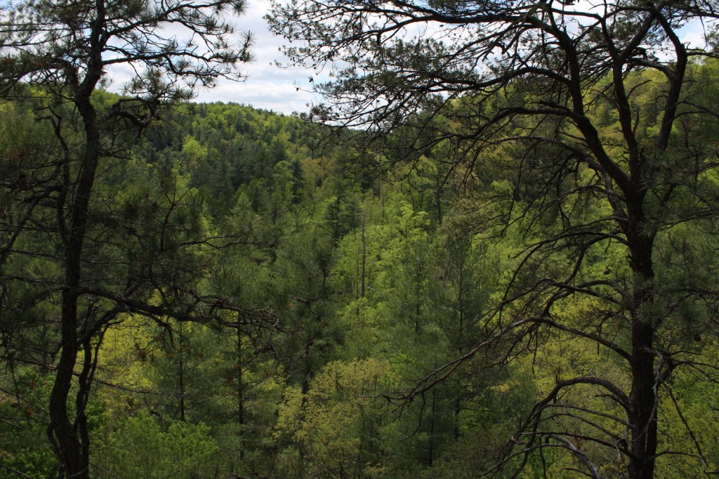
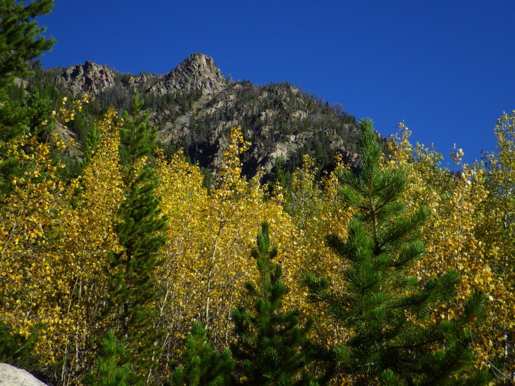
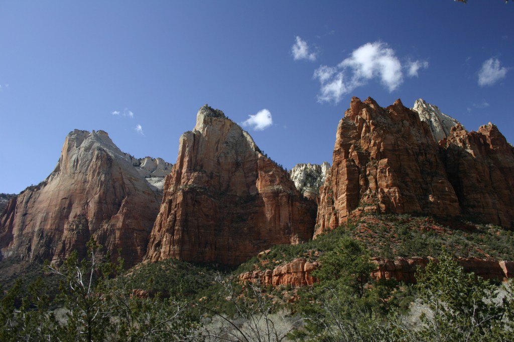
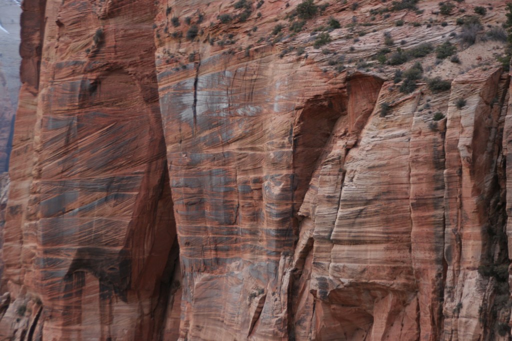
Zion National Park protects an outstanding canyon where steep sandstone walls up to 3,000 feet high appear to glow at sunrise and sunset. Views are great from the road along the North Fork of the Virgin River, but to really get a sense of scale here you have to hike uphill on one of many trails. Check out a new film on the park here: https://zionpark.org/wethekeepers/
Learn more in our guidebook to the National Parks, A Park to Yourself: Finding Adventure in America’s National Parks (available on Amazon).
Highlights
Kolob Canyons, The Narrows, Emerald Pools, Weeping Rock, Observation Point, The Subway, Angels Landing, Canyon Overlook Trail
Must-Do Activity
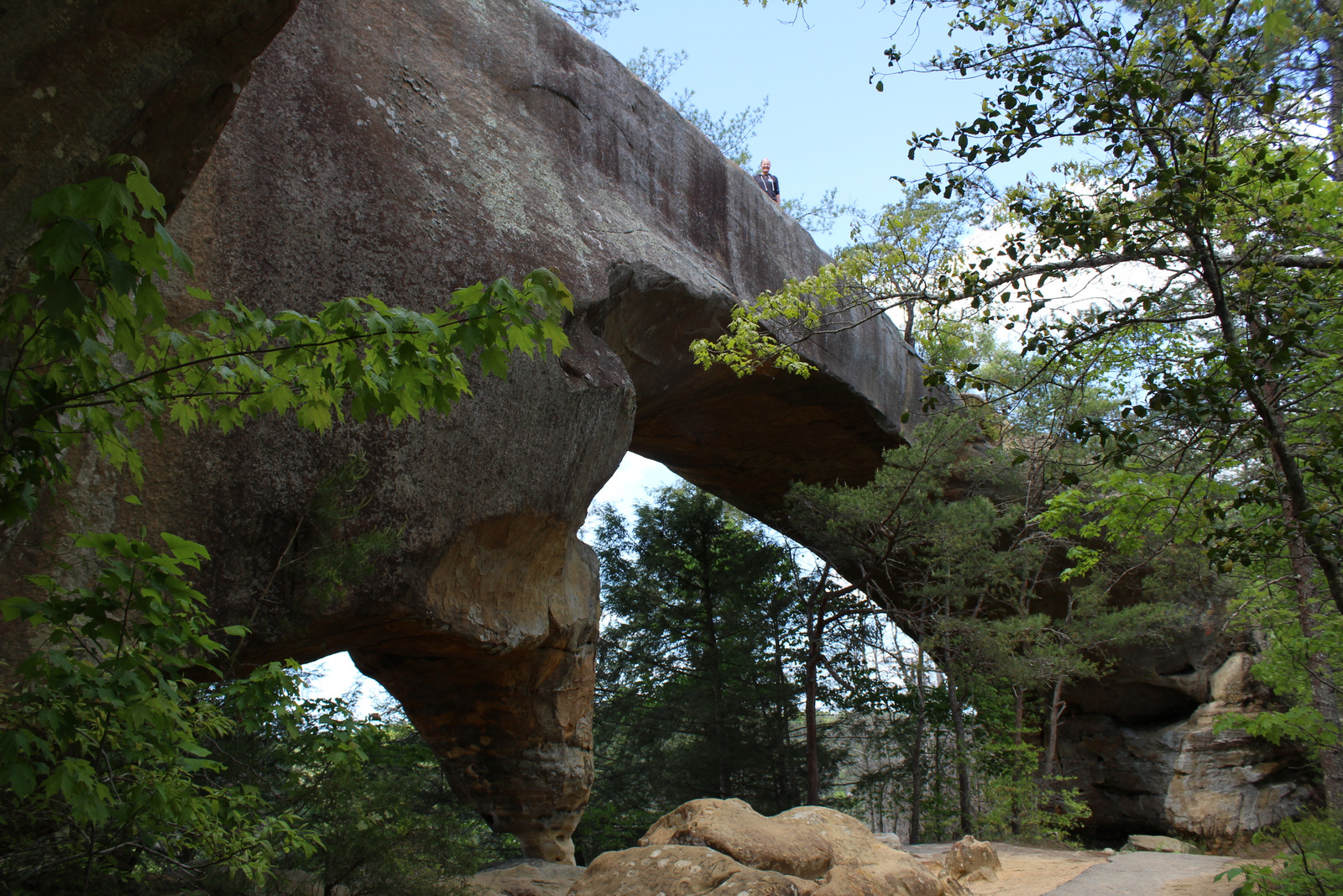
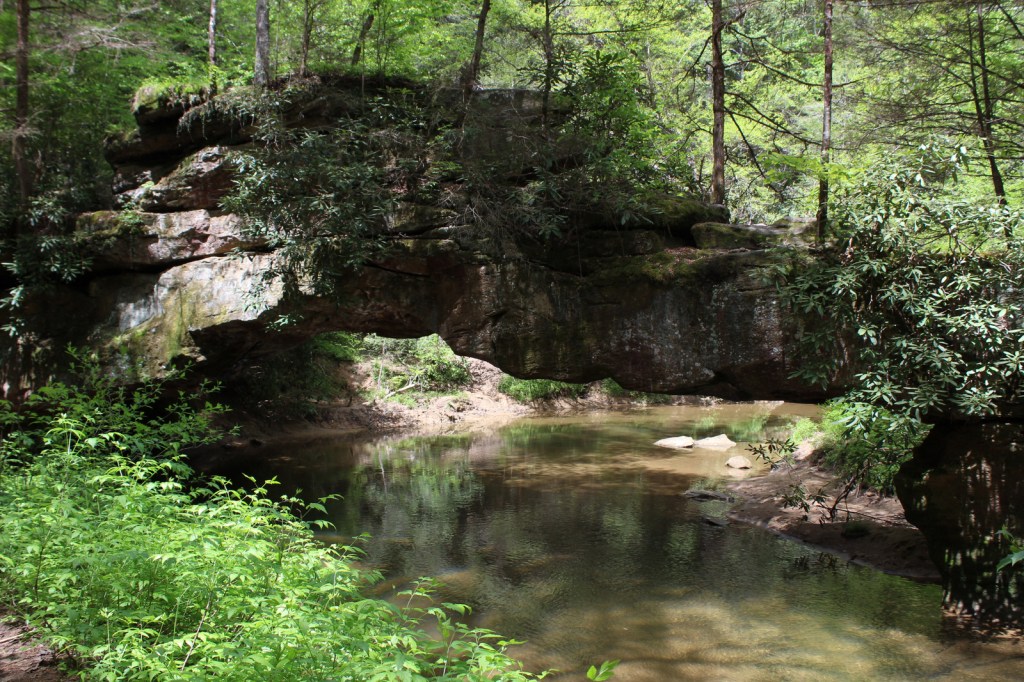
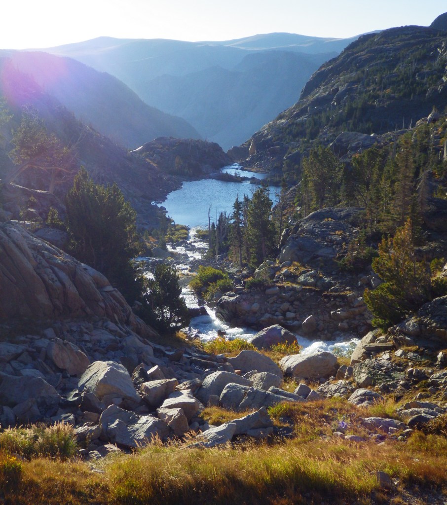
Kolob Canyons is in the northern section of the park located just off Interstate 15, where a short drive leaves the road noise behind and opens up a world of red rock beauty. There are no campgrounds in this area of the park, so we picked up a backpacking permit at the visitor center to spend the night near Timber Creek. The flowing water meant croaking frogs and toads provided a chorus throughout the night. This site provided a good jumping off point for the La Verkin Creek Trail which travels 7.5 miles one-way to Kolob Arch. At 310 feet across, this arch is one of the biggest in the world, but you cannot get nearly as close to it as you can to those at Arches National Park. Hiking anywhere in Kolob Canyons is much less busy than other parts of Zion National Park, but the trails can be snow covered in the winter (when the access road sometimes closes).
Best Trail
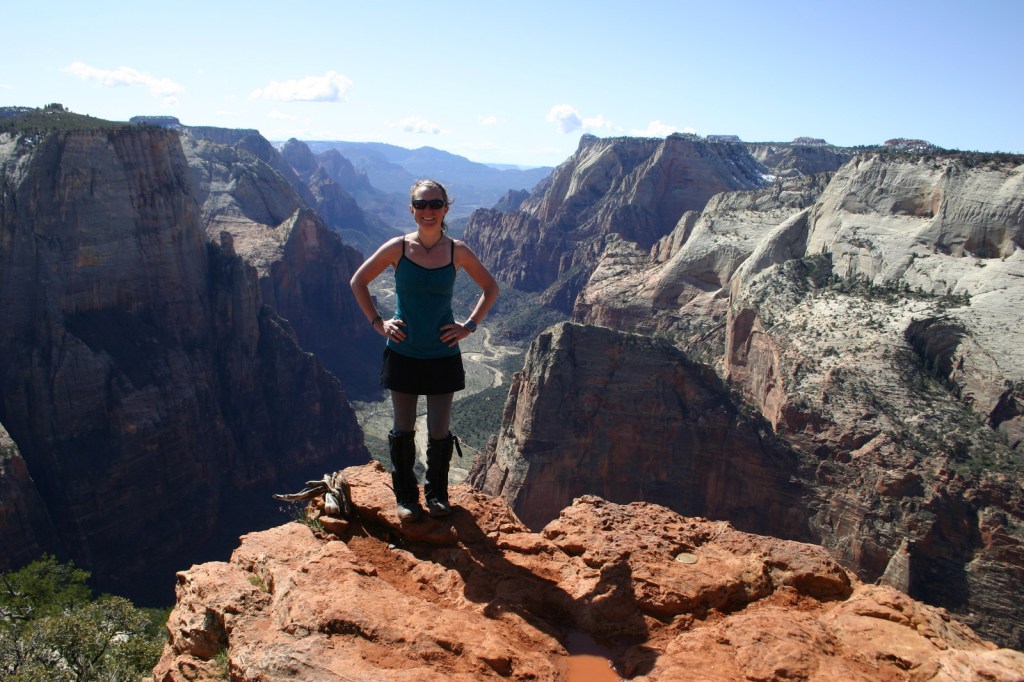
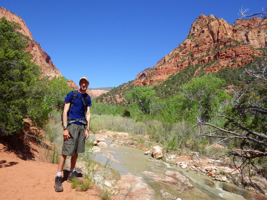
The Narrows, Angels Landing, and The Subway are hiking destinations known around the world, and their popularity means they each require a reservation. Wading upriver through the frigid water of the Narrows, where the canyon pinches to only 18 feet wide in places, is an essential experience open to all visitors for the first five miles to Big Spring. The busy 5.4-mile out-and-back trail to Angels Landing is not for the faint of heart as it follows a knife-edge route with chains mounted in places. But it is worth the effort, even if you just make it to the saddle at the end of Walter’s Wiggles, perhaps the world’s most famous trail switchbacks.
Instagram-worthy Photo
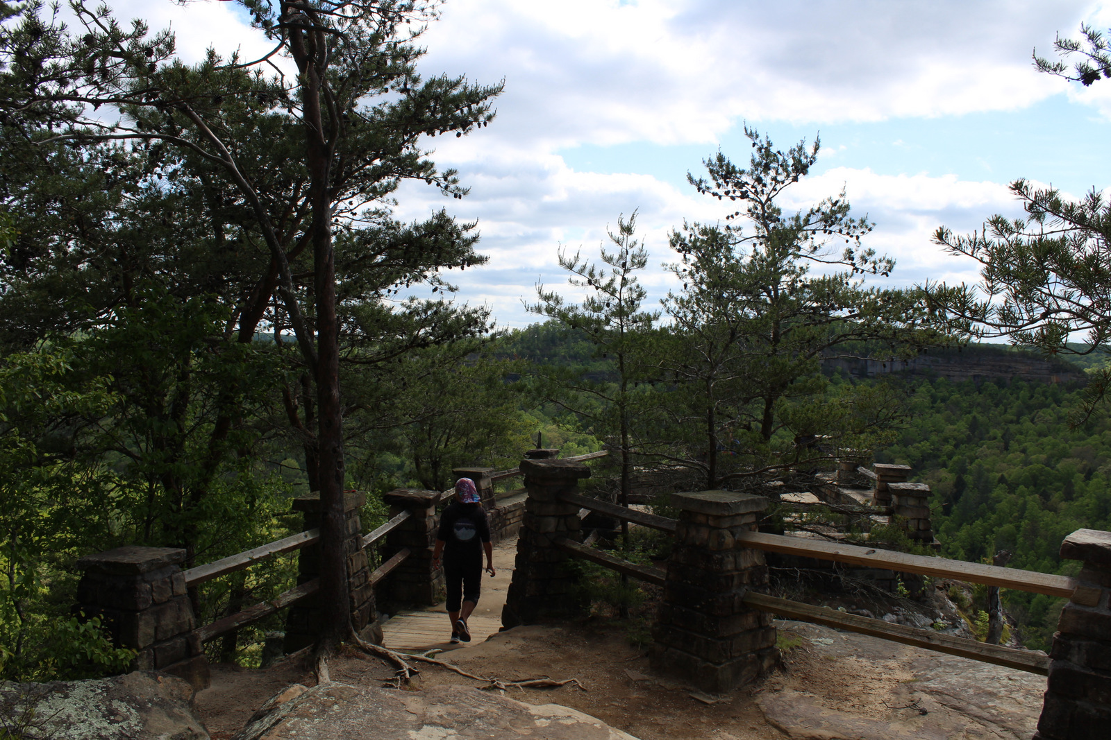
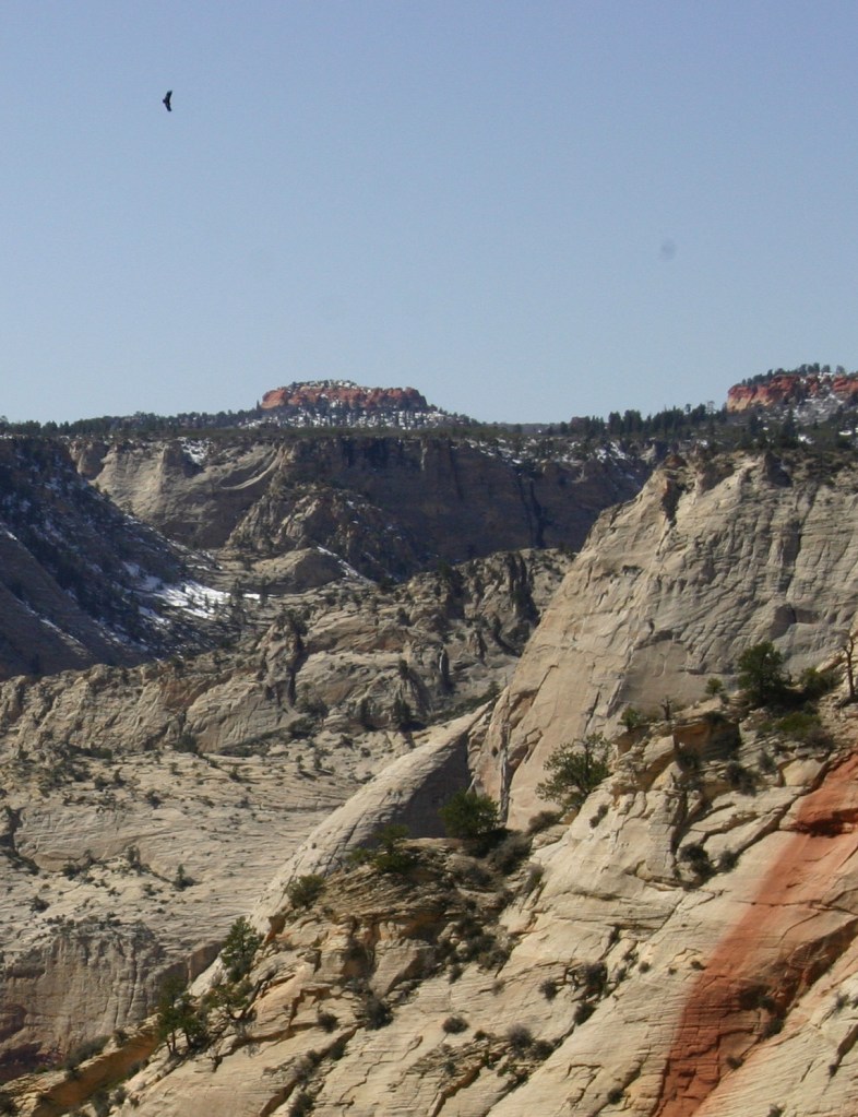
We watched a huge California condor flying over Zion Canyon from Observation Point, a popular eight-mile out-and-back hike that leaves from the same trailhead as Weeping Rock.
Peak Season
Spring and fall
Hours
https://nps.gov/zion/planyourvisit/hours.htm
Fees
$35 per vehicle or America the Beautiful pass
Road Conditions
The main roads into Kolob Canyons and Zion Canyon are paved, but a free shuttle bus is required to enter the dead end Zion Canyon Scenic Drive from 7 a.m. to 7 p.m. daily from March to November (click here for more shuttle information). There is an extra fee for large RVs to use the Zion-Mount Carmel Tunnel, since they require a pilot car and the road must be shut down to one-way traffic only.
Camping
There is not a campground in Kolob Canyons, but in Zion Canyon you can wake up to an awesome morning view in sprawling Watchman or South Campgrounds. Lava Point Campground is located down the long, unpaved Kolob Terrace Road and is closed in the winter. Dispersed camping is allowed by the Bureau of Land Management outside park boundaries, but it can be hard to find an open spot.
Related Sites
Bryce Canyon National Park (Utah)
Cedar Breaks National Monument (Utah)
Dixie National Forest (Utah)


Explore More – Walter’s Wiggles may be the world’s most famous trail switchbacks, so who are they named after?


Explore More – Walter’s Wiggles may be the world’s most famous trail switchbacks, so who are they named after?

We are a participant in the Amazon Services LLC Associates Program, an affiliate advertising program designed to provide a means for us to earn fees by linking to Amazon.com and affiliated sites.