Overview
Fort Laramie National Historic Site in eastern Wyoming was originally founded in 1834 for its strategic location at the confluence of the Laramie and North Platte Rivers. Purchased by the U.S. military in 1849, it saw its share of history as a major military post on the Oregon Trail, Pony Express, and Cheyenne-Deadwood stage route. West of the fort, stop at Oregon Trail Ruts State Historic Site and Register Cliff where pioneers left their mark along the North Platte River.

Highlights
Museum, film, 1874 Cavalry Barracks, 1849 “Old Bedlam”
Must-Do Activity
Come for the free 4th of July festivities and explore the restored buildings encircling the parade grounds, in between watching demonstrations of cannon firing and oxen plowing. The National Park Service (NPS) employees host a variety of old-fashioned activities for kids and adults, including a three-legged race for adults. Grab a partner and join in the fun or simply watch from the sidelines with a cold sarsaparilla, cream soda, or birch beer in your hand. You are sure to have a good, old-fashioned good time even if you head home before the fireworks.

Best Trail
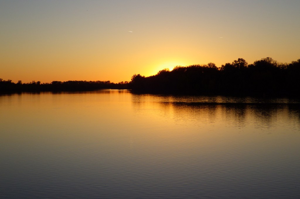
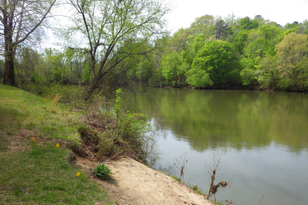
Fort Laramie was never a condensed, palisaded fort, so walking to all 11 restored structures covers quite a bit of distance (like Fort Union in New Mexico). You can also hike along the banks of the Laramie River where the Oregon National Historic Trail once led.
Instagram-worthy Photo
“Old Bedlam,” the former quarters of bachelor officers, dates to 1849 making it the oldest documented building in Wyoming. The right side is now restored to appear as officers’ quarters and the left side to post headquarters in 1863 when Lt. Col. William O. Collins lived on the second floor with his wife.
Peak Season
Summer
Hours
https://www.nps.gov/fola/planyourvisit/hours.htm
Fees
None
Road Conditions
The last portion of the drive is a graded dirt road, as is the parking lot.
Camping
The town of Fort Laramie offers camping at its small municipal park, or head west to Guernsey State Park with its historic Civilian Conservation Corps (CCC) structures.
Related Sites
Scotts Bluff National Monument (Nebraska)
Bent’s Old Fort National Historic Site (Colorado)
Yellowstone National Park (Wyoming)

“Old Bedlam” decked out for the 4th of July 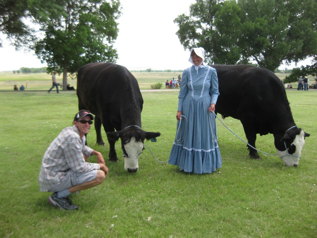
Oxen demonstrations take place on the 4th of July 
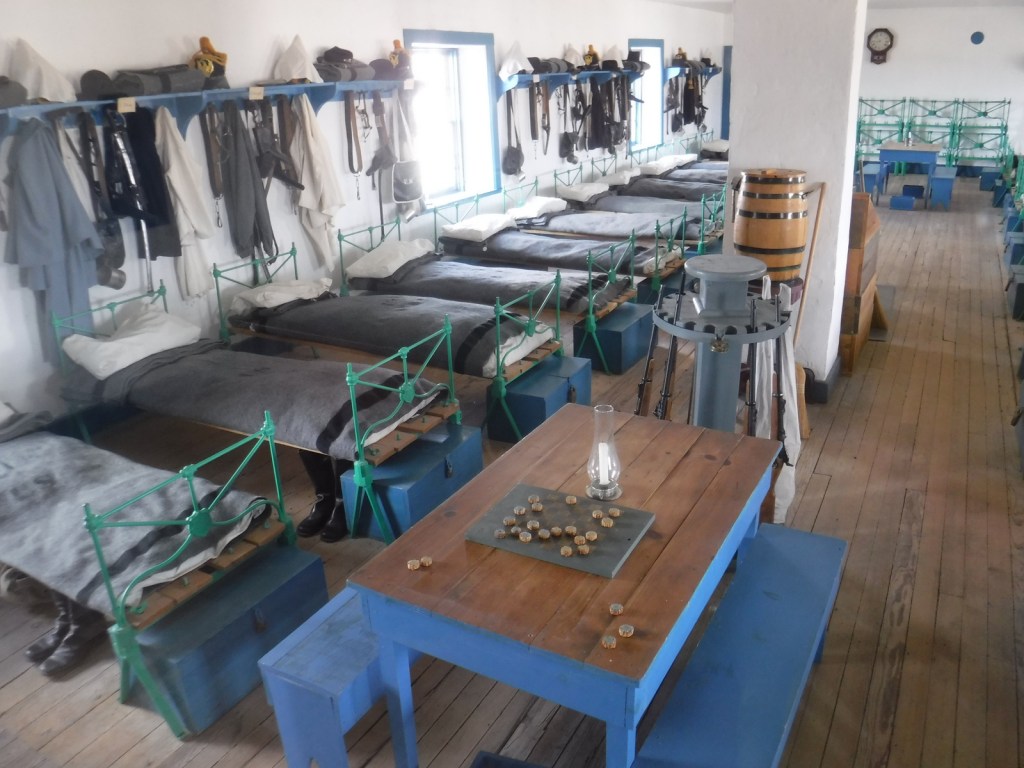
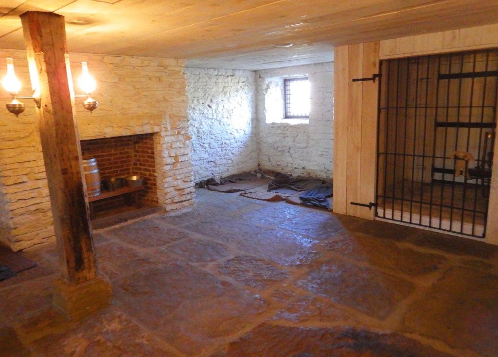
Inside the 1874 Cavalry Barracks 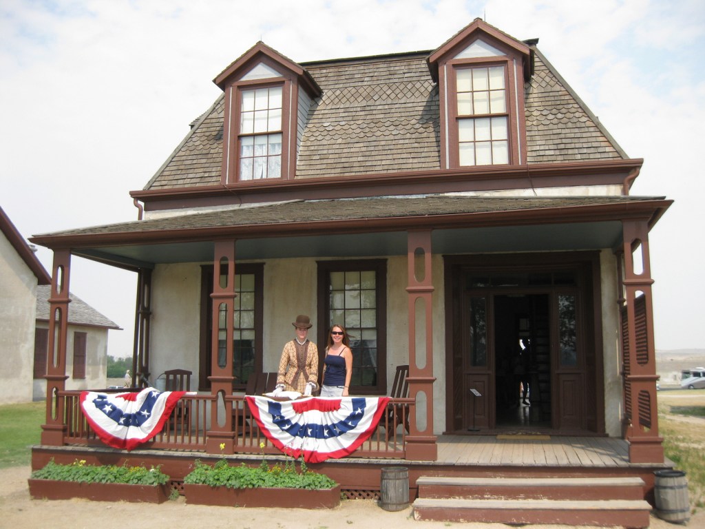
Tiff posing with a costumed reenactor on the 4th of July 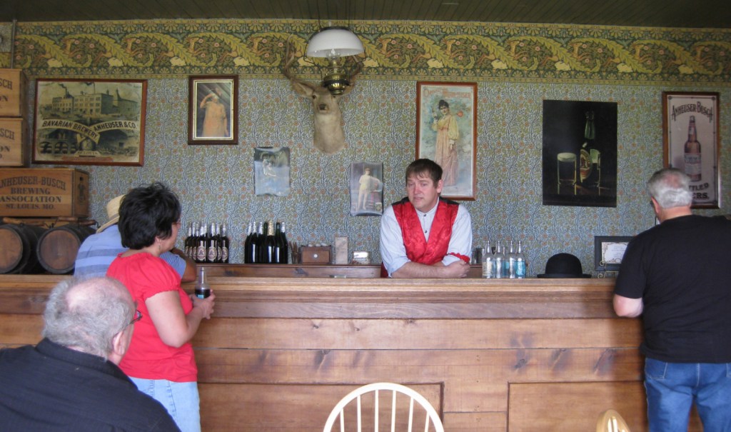
The bar serves non-alcoholic beverages in the summer. 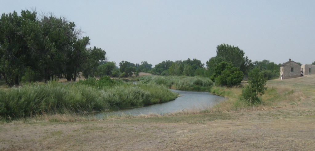
On the banks of the Laramie River 
Scott in the Post Trader’s Store that dates back to 1849. 

Scott and Tiff competing in the three-legged race.
Explore More – What was the name of the original stockade constructed by fur traders in 1834?