Overview
Nez Perce National Historical Park is unique because it comprises 38 sites stretching across four states, not even including an 1877 incident inside Wyoming’s Yellowstone National Park. Many of the locations (as well as Big Hole National Battlefield) cover the War of 1877, when a portion of the tribe fled more than 1,000 miles from Oregon towards the Canadian border only to be stopped 40 miles short by the U.S. Army at Bear Paw Battlefield in Montana. Under the leadership of legendary Chief Joseph they crossed the Rocky Mountains at Lolo Pass, made famous by the Lewis and Clark Expedition that the tribe assisted in 1805.
Highlights
Museum, film, Heart of the Monster, Lolo Pass, Bear Paw Battlefield
Must-Do Activity
The main National Park Service (NPS) visitor center is in Spalding, Idaho on the Nez Perce Indian Reservation where the “heart of the monster” resides. According to legend, after Coyote slew the monster that inhaled all the people, its heart and liver came to rest on the banks of the Clearwater River. This park is also unique because the Nez Perce remain an active tribe with a strong sense of community, as documented in the excellent new film at the visitor center. Highway 12 follows the beautiful Clearwater River through northern Idaho and provides access points for the unpaved Lolo Motorway (a section of the Nez Perce National Historical Trail) and its many scenic overlooks.
Best Trail
Nez Perce National Historical Trail stretches 1,170 miles from Oregon to Montana, ending at the NPS site at Bear Paw Battlefield where a five-day fight finally led to the tribe’s surrender in October 1877.
Instagram-worthy Photo
At a roadside pullout on Highway 95 in Idaho, the NPS interprets White Bird Battlefield where 34 U.S. Army soldiers were killed on June 17, 1877 escalating the U.S. government’s conflict with the Nez Perce into a war.

Peak Season
Summer
Hours
https://www.nps.gov/nepe/planyourvisit/hours.htm
Fees
None
Road Conditions
Most of the major roads are paved, with the notable exception of the Lolo Motorway which requires a high clearance vehicle (and four-wheel drive on its western end).
Camping
There are camping opportunities ranging from dispersed to developed located throughout Clearwater, Nez Perce, and Wallowa-Whitman National Forests.
Related Sites
Big Hole National Battlefield (Montana)
Grant-Kohrs Ranch National Historic Site (Montana)
Whitman Mission National Historic Site (Washington)

White Bird Battlefield overlook on Highway 95 
Scott at the NPS visitor center in Spalding, Idaho 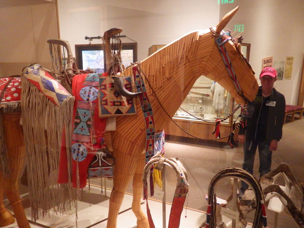
Tiff in the NPS museum in Spalding, Idaho 
An example of a mercantile that was in the Spalding area 
A historic Methodist church on the Nez Perce NHT 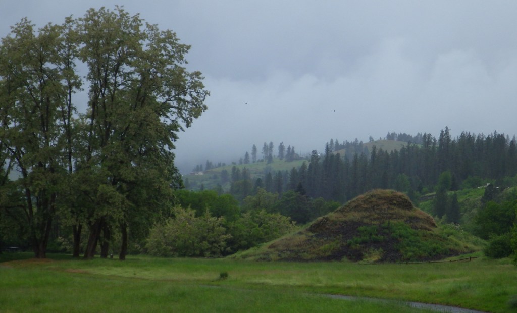
The Heart of the Monster – a spiritually significant place for the Nez Perce 
Clearwater River along Highway 12 
Lolo Pass visitor center on Highway 12 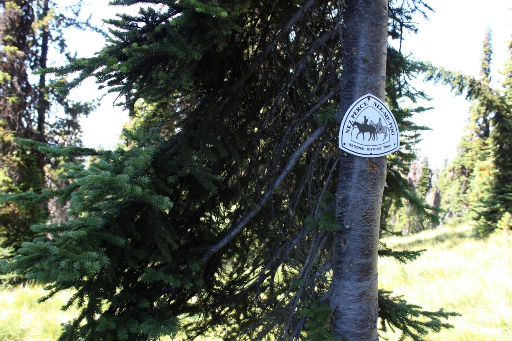
Marker for the Nez Perce National Historic Trail 
Smoky views from the Lolo Motorway in Idaho 
Devil’s Chair on Lolo Motorway 
Scott’s mother at the Indian Post Office on the Lolo Motorway
Explore More – After the 1863 “Steal Treaty” reduced the Nez Perce Reservation by 90%, what was the 1887 federal law that allowed another 90% to end up in white ownership?