Tag Archives: petroglyphs

Fishlake National Forest     

Fishlake National Forest           

Utah

Managed by U.S. Forest Service, Intermountain Region

1,539,737 acres (1,461,226 federal/ 78,511 other)

Website: https://www.fs.usda.gov/fishlake

Overview

Much of Fishlake National Forest is at high elevation in central Utah, which is also true of its namesake Fish Lake that sits at 8,800 feet.  Fish Lake is the largest natural mountain lake in Utah and lent its name to the Fish Lake Cutoff on the Old Spanish Trail, which ran from Santa Fe to Los Angeles.  There are hundreds of miles of trails open to ATVs in the National Forest, including the 238-mile Paiute ATV Trail and the Gooseberry ATV Trails accessible from Interstate 70.  There are also plenty of trails for hikers, backpackers, mountain bikers, and equestrians, including the trail that crosses the South Fork of North Creek Trail 60 times as it covers ten miles leaving from beautiful Blue Lake at the base of Mt. Baldy.

Highlights

Beaver Canyon Scenic Byway, Wildcat Guard Station, Tushar Mountains, Delano Peak, Bullion Falls, Pistol Rock, Koosharem Canyon, Fishlake Scenic Byway, Fool Creek Canyon petroglyphs, Blue Lake, Bullion Canyon Trail System, Skyline National Recreation Trail, Lakeshore Trail, Old Spanish National Historic Trail

Must-Do Activity

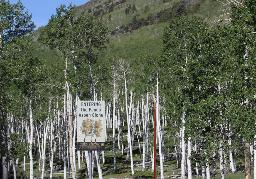
Fish Lake’s most famous resident is the aspen clone dubbed Pando (meaning “I spread” in Latin).  Connected by a single root system, stems of Pando cover 106 acres and it is estimated to have started growing 80,000 years ago, arguably making it the oldest and heaviest living organism on the planet.  Campers enjoy the popular Lakeshore Trail that is in four discontinuous sections adding up to about 15 miles.  We found the road to Pelican Promontory on the north side of the lake too rough for our passenger vehicle and the five-mile Pelican Canyon Trail too overgrown to follow after a mile, although we did see (and hear) a northern goshawk on nest. 

Best Trail

In the Tushar Mountains, Beaver Canyon Scenic Byway (Highway 153) switchbacks its way up to several trailheads for the 8.3-mile-long Skyline National Recreation Trail.  We attempted to access Lake Stream Trailhead in the middle, but found the road at Puffer Lake required high-clearance.  Instead, we drove the rough quarter-mile spur road to Big Flat Trailhead (at 10,220 feet in elevation) and hiked two miles to a rocky outcrop with good views.  We did not attempt to drive to the trail’s western terminus at Big John Flat Trailhead that sits beneath 12,173-foot Delano Peak.

Watchable Wildlife

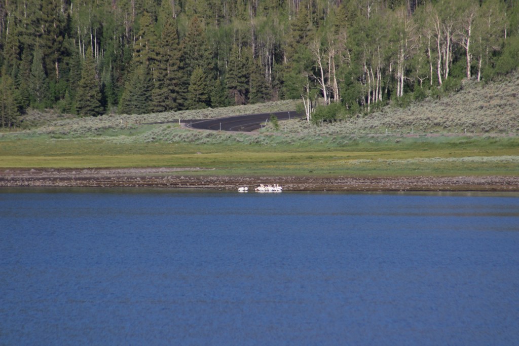
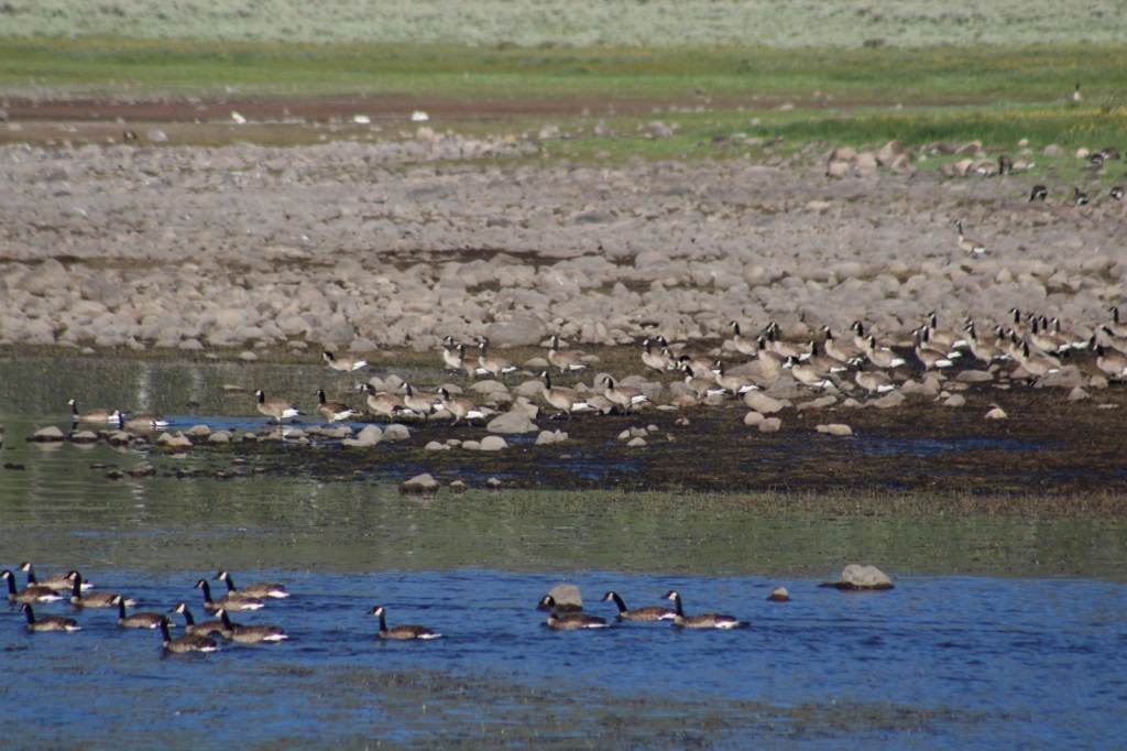
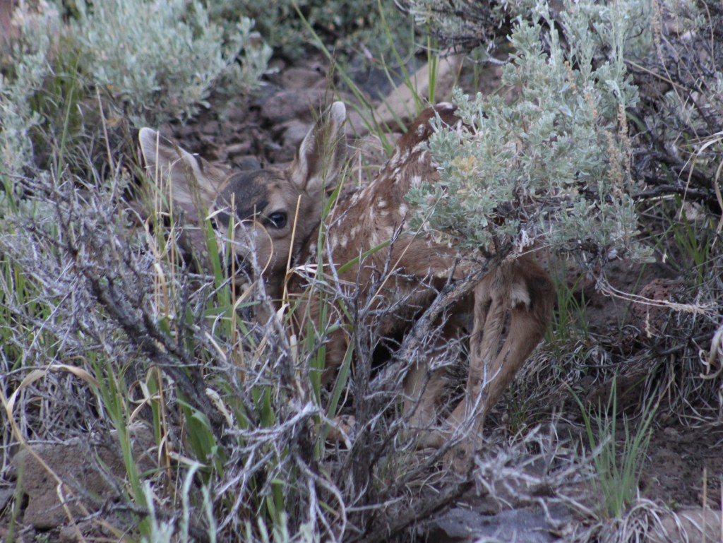
We first heard and then saw a northern goshawk on a nest (see photos) as we struggled to follow the overgrown Pelican Canyon Trail at Fish Lake.  Additional birds of note are bald eagles, kestrels, several species of owls, turkey vultures, Canada geese, white pelicans, and wild turkeys.  Ungulates found here are elk, mule deer, pronghorns, bighorn sheep, mountain goats, and even some moose.  Other large mammals include black bears, bobcats, mountain lions, red foxes, coyotes, pine martens, minks, badgers, porcupines, beavers, snowshoe hares, and pika.  As you might expect from a National Forest named Fishlake, fishing is a popular activity in the lakes and streams for rainbow trout, lake trout, splake, and other species, even in the winter.

Instagram-worthy Photo

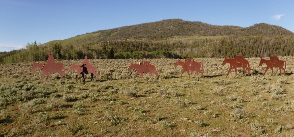
Stop at the informational pullout on the Fishlake Scenic Byway to read about the Fish Lake Cutoff of the Old Spanish Trail, then get your photo with the metal cutouts of a pack train in the sagebrush flats near Zedd’s Meadow.
Peak Season

Summer

Fees

$5 day use fee at Ponderosa Picnic Area or America the Beautiful pass

Road Conditions

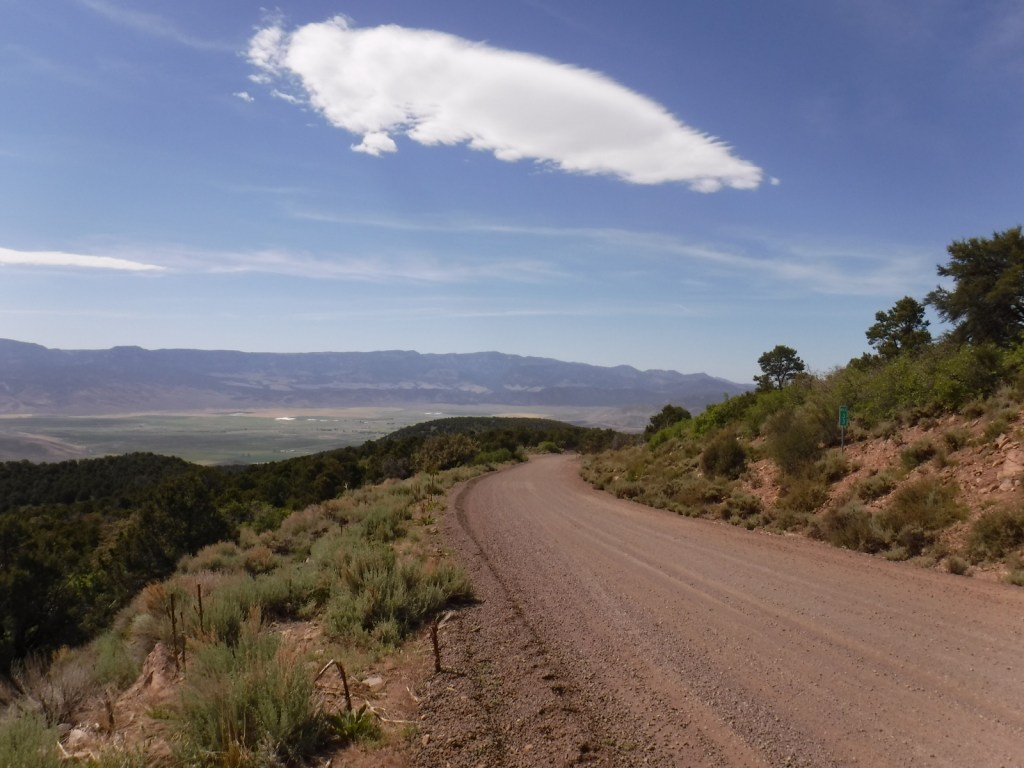
There are some rough roads in this area that require high-clearance vehicles, including the ones to Pelican Promontory and Puffer Lake.  Fishlake Scenic Byway and Beaver Canyon Scenic Byway are paved, but connecting between the two required driving some good gravel roads that were already snow free during our mid-June visit.

Camping

The Aquarius Ranger Station is available for rental from May through October, as are the historic cabins at the Gooseberry Administrative Site.  There are several campgrounds at Fish Lake and others located throughout the National Forest, in addition to one scenic spot on a ridge adjacent to the Second Crossing of Salina Creek in the White Mountains.

Wilderness Areas

None

Related Sites

Dixie National Forest (Utah)

Bryce Canyon National Park (Utah)

Cedar Breaks National Monument (Utah)

Nearest National Park

Capitol Reef

Conifer Tree Species

subalpine fir, white fir, Engelmann spruce, Douglas-fir, ponderosa pine, singleleaf pinyon pine, Utah juniper

Flowering Tree Species

quaking aspen, Gambel oak, bigtooth maple, Fremont cottonwood, sagebrush

Explore More – Which famous American explorer named the Old Spanish Trail in the 1840s (hint: he has a National Forest named after him, but maybe not the one you first think)?

Learn more about this and the 154 other National Forests in our new guidebook Out in the Woods

We are a participant in the Amazon Services LLC Associates Program, an affiliate advertising program designed to provide a means for us to earn fees by linking to Amazon.com and affiliated sites.

El Morro National Monument

El Morro National Monument

New Mexico

Managed by National Park Service

Established 1906

1,278 acres

Website: nps.gov/elmo

Overview

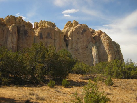
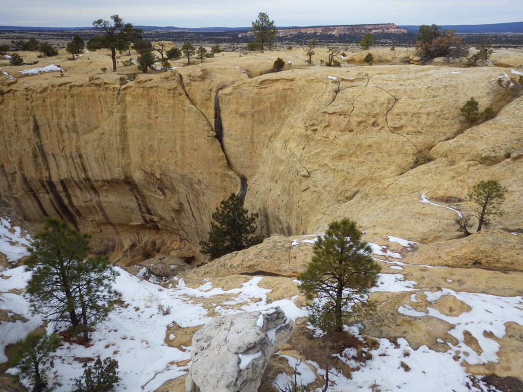
A small pool of reliable water at the base of a sandstone bluff has attracted humans and animals for centuries in this arid region.  Ancestral Puebloans built a village atop the 200-foot-tall mesa and Spanish explorers carved their names alongside petroglyphs at a place they dubbed “el morro” (the headland).  Today, El Morro National Monument is located about 125 miles west of Albuquerque, about 42 miles off Interstate 40.

Highlights

Inscription Rock Trail, Atsinna Pueblo ruins, Mesa Top Trail

Must-Do Activity

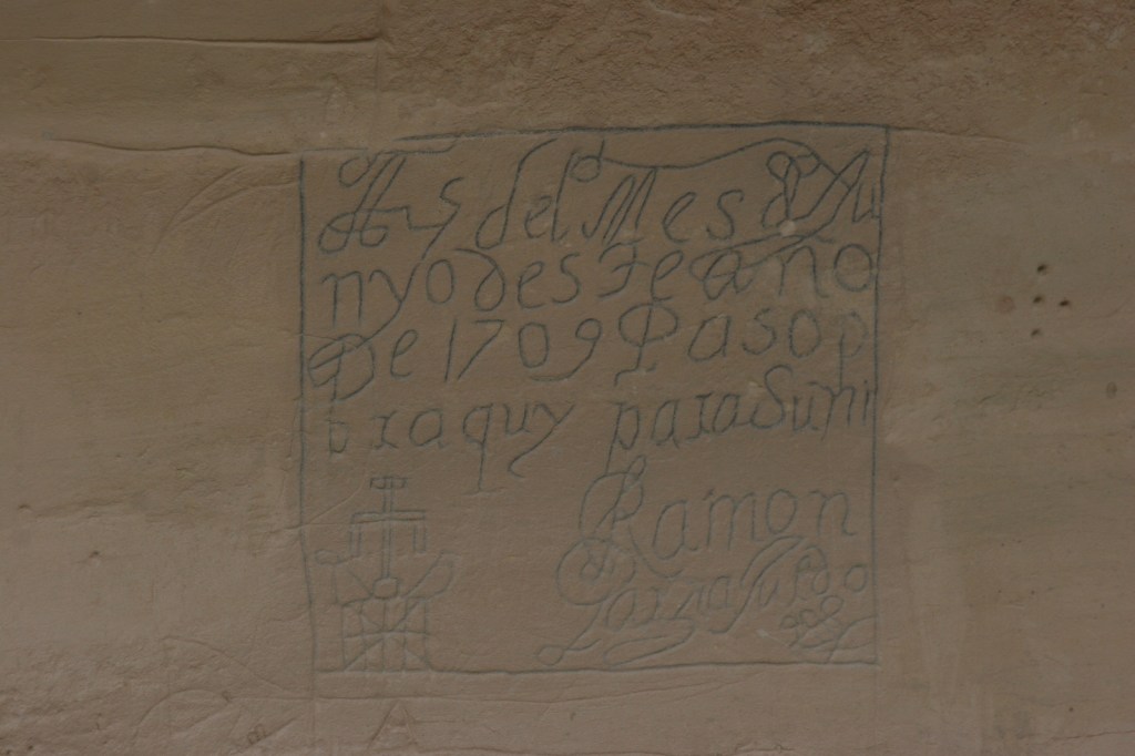
The National Park Service visitor center offers a 15-minute film and the half-mile paved Inscription Rock Trail loop to view the carvings.  Pick up a free guidebook that provides details on the earliest European inscriptions that date back to 1605 and the petroglyphs that may be around 1,000 years old. 

Best Trail

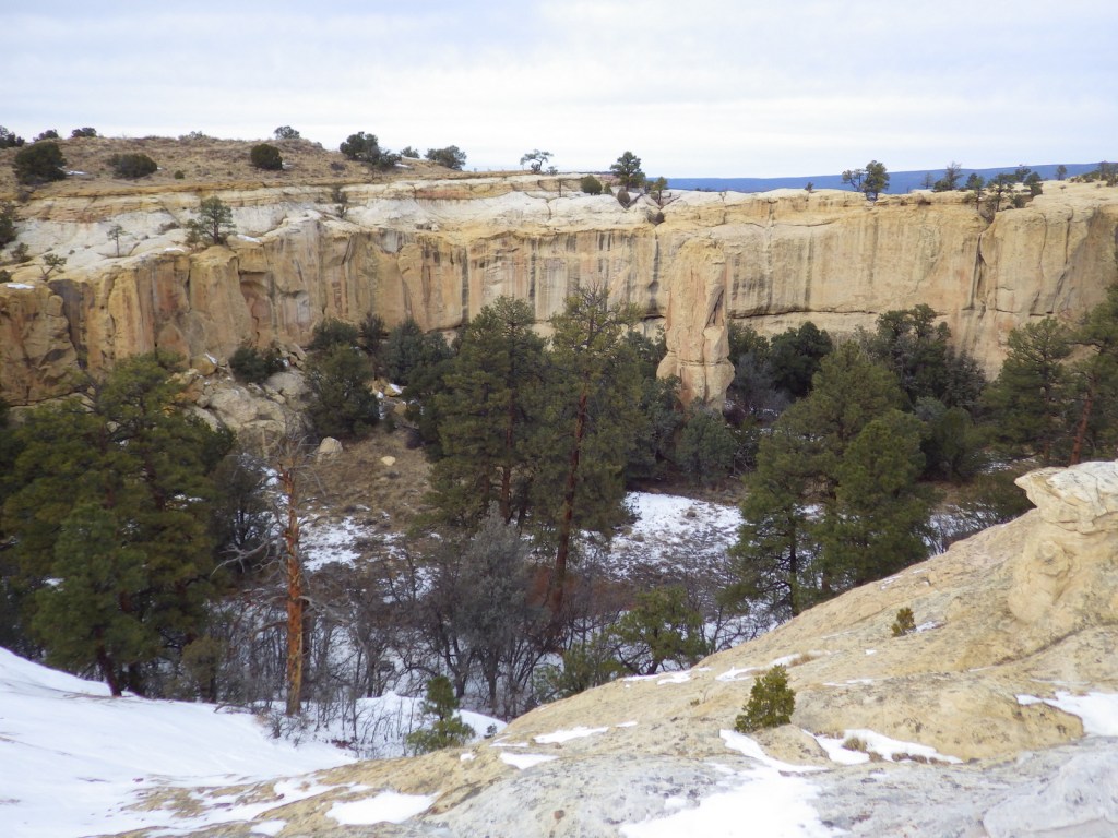
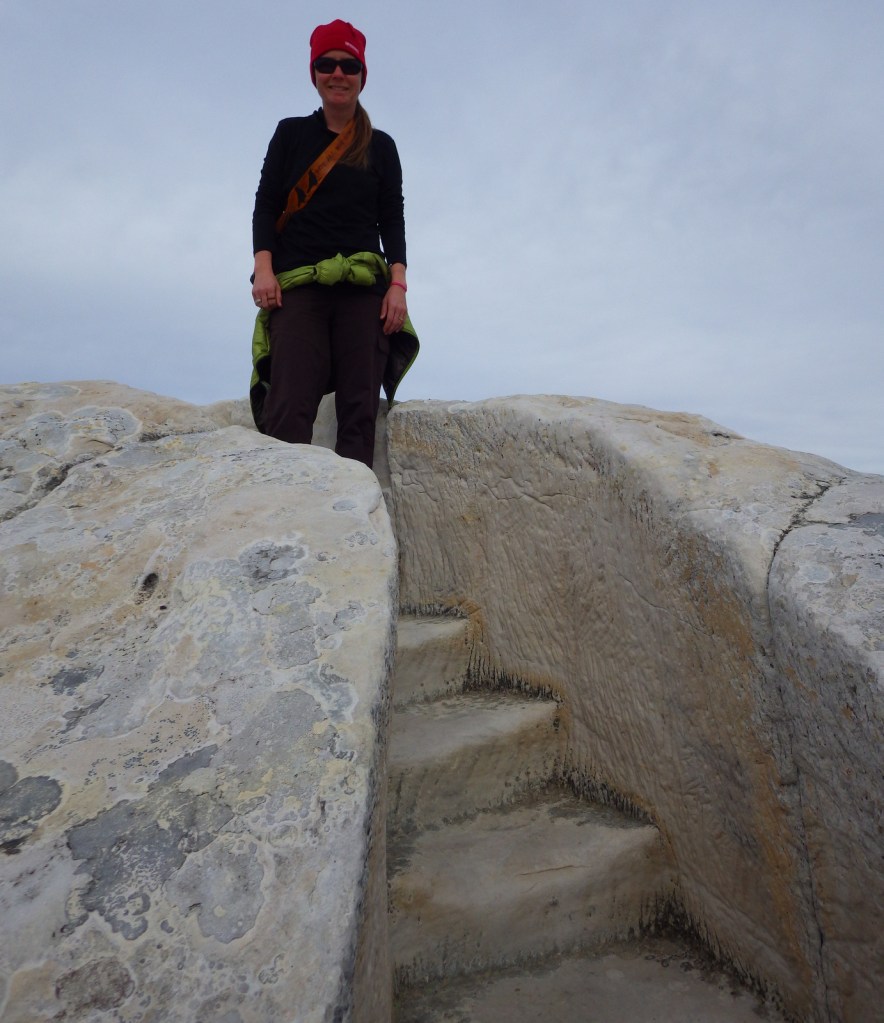
The Mesa Top Trail loop climbs to the top of the bluff where there are Ancestral Puebloan ruins and great views of the volcanic El Malpais National Monument.  The hike is about two miles roundtrip, with interesting steps carved into the soft sandstone in places.  The trail may be closed during thunderstorms during the summer and after heavy snowfalls in the winter.

Instagram-worthy Photo

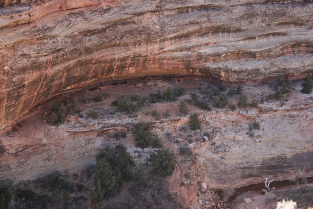
It is worth the short but steep climb to check out the ruins of Atsinna Pueblo (built in the late-1200s) atop the sandstone bluff.

Peak Season

Spring and fall

Hours

https://www.nps.gov/elmo/planyourvisit/hours.htm

Fees

None

Road Conditions

The short entrance road is paved from Highway 53.

Camping

The small primitive campground at El Morro National Monument is open year round (except during snowstorms), plus there is a private RV park located near the entrance.

Related Sites

El Malpais National Monument (New Mexico)

Cibola National Forest (New Mexico)

Chaco Culture National Historical Park (New Mexico)

Explore More – Who were the first Anglo-Americans to inscribe their names at El Morro in 1849?

Chattahoochee National Forest

Chattahoochee National Forest

Georgia

Managed by U.S. Forest Service, Southern Region

1,516,006 acres (750,145 federal/ 765,861 other)

Website: https://www.fs.usda.gov/conf

Overview

In mountainous northern Georgia, Chattahoochee National Forest stretches 200 miles east to west, bordering North Carolina, South Carolina, and Tennessee.  In addition to the highest point in Georgia (4,784-foot Brasstown Bald), the National Forest includes the headwaters of the Chattahoochee River and one side of the Chattooga National Wild and Scenic River.  West of the North Georgia Mountains, the Ridge and Valley Scenic Byway traverses the disjunct portion of the National Forest encompassing Johns Mountain, Little Sand Mountain, and Taylor Ridge.

Know someone who loves the National Forests? Gift them our travel guidebook Out in the Woods so they can learn more about all 155 National Forests.

Highlights

Ed Jenkins National Recreation Area, Ridge and Valley Scenic Byway, Keown Falls, Russell-Brasstown Scenic Byway, Brasstown Bald, High Shoal Falls Scenic Area, Lake Conasauga Recreation Area, Anna Ruby Falls, Sosebee Cove Scenic Area, Timpson Falls, Popcorn Overlook, Track Rock Gap Petroglyph Site, DeSoto Falls Scenic Area, Angel Falls, Raven Cliff Trail, Helton Creek Falls Trail, Duncan Ridge National Recreation Trail, Appalachian National Scenic Trail

Must-Do Activity

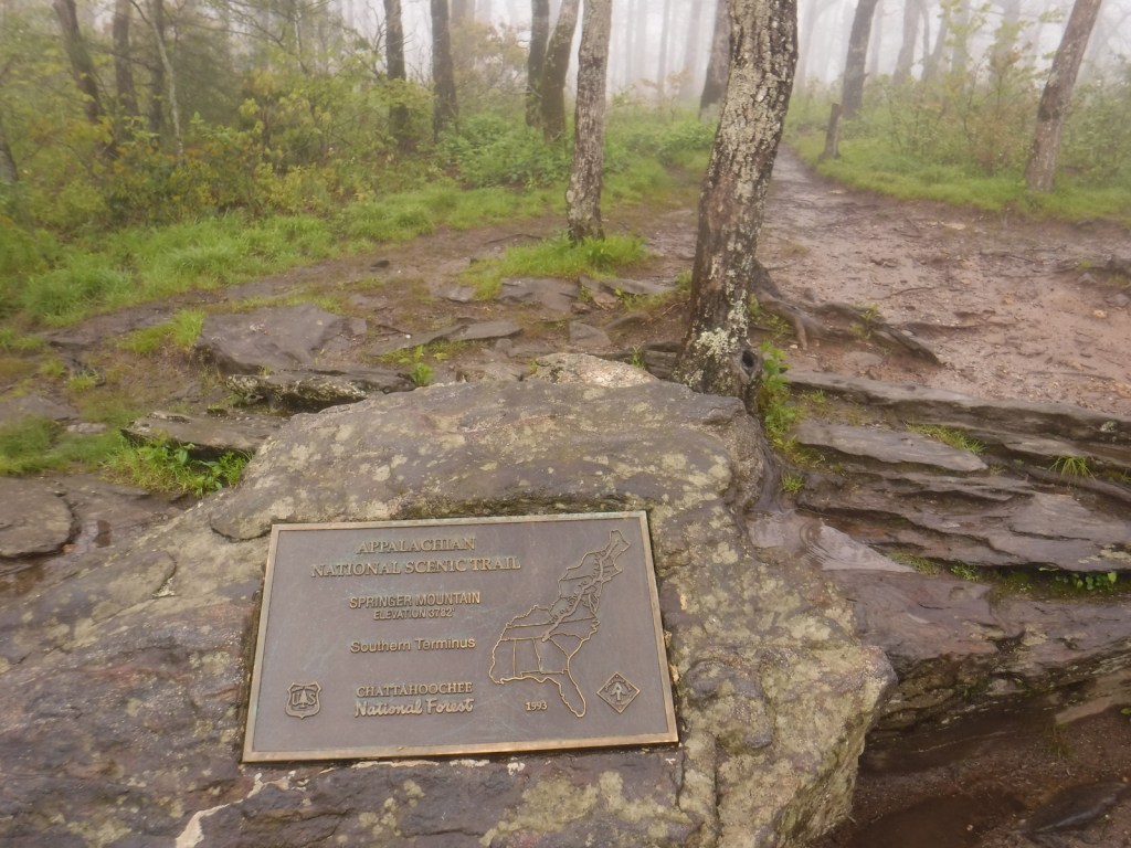
One of the National Forest’s most popular spots, 150-foot-tall Anna Ruby Falls is accessed by a short trail northeast of Helen, Georgia on State Route 356.  Large tulip-poplar and yellow buckeye trees grow in 175-acre Sosebee Cove Scenic Area, even though it is a second growth forest.  We will have a separate blog post on Ed Jenkins National Recreation Area, which surrounds Springer Mountain, the southern terminus of the 2,185-mile-long Appalachian National Scenic Trail.

Best Trail

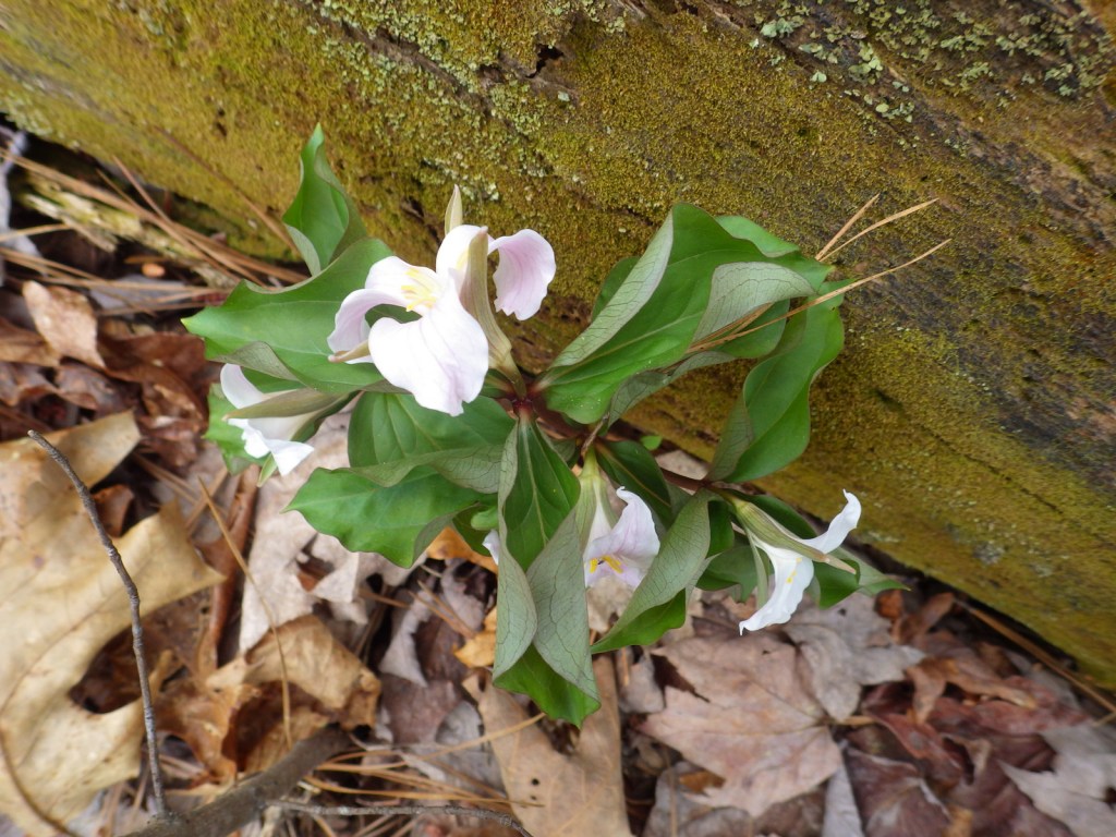
Chattahoochee National Forest started when the Forest Service purchased 31,000 acres from the Gennett family in 1911 for $7 per acre.  Visitors can still see their namesake Gennett Poplar (a tulip-poplar tree more than five feet in diameter) by hiking 1.8 miles out-and-back with two stream crossings on the Bear Creek Trail.  The rows of holes in the old tree’s trunk were made by yellow-bellied sapsuckers, a type of woodpecker.  The trail continues and connects with the Pinhoti Trail to form a 6.6 to 9-mile long loop.

Watchable Wildlife

In addition to the plentiful white-tailed deer, other large mammals found in Chattahoochee National Forest include black bears, coyotes, bobcats, red foxes, squirrels, beavers, and river otters.  There are a wide variety of songbirds, waterfowl, and raptors, as well as wild turkeys.  One insect species of note is the blue ghost firefly, which produces a distinctive blue phosphorescence.  Panther Creek is among the approximately 2,000 miles of rivers and streams popular for fishing.

Instagram-worthy Photo

There is a small waterfall at Barnes Creek Picnic Area, which was built by the Civilian Conservation Corps (CCC) in the 1930s.

Peak Season

Summer

Fees

None

Road Conditions

Most of the major routes in Chattahoochee National Forest are paved.  Forest Service Road 42 that accesses the Springer Mountain Trailhead is unpaved and full of potholes, but it is doable in a passenger vehicle (as are the dirt roads to Hickey Gap Campground and Bear Creek Trail). 

Camping

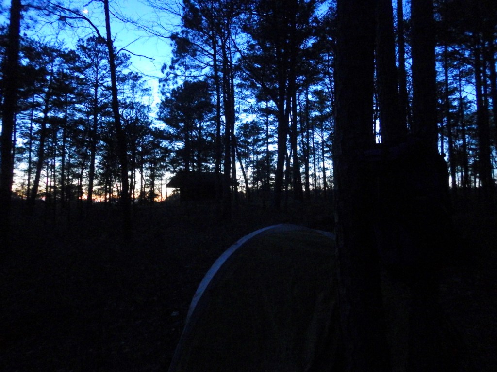
The riverside Hickey Gap Campground is so nice that it made it into our list of the Top 10 Campgrounds in National Forests; the best part is: it is free.  We once overnighted at the Locust Stake ORV Area Trailhead north of Atlanta, which was fine until someone decided to ride their motocross bike at 2 a.m.

Wilderness Areas

Big Frog Wilderness (also in Cherokee National Forest)

Blood Mountain Wilderness

Brasstown Wilderness

Cohutta Wilderness (also in Cherokee National Forest)

Ellicott Rock Wilderness (also in Nantahala and Sumter National Forests)

Mark Trail Wilderness

Raven Cliffs Wilderness

Rich Mountain Wilderness

Southern Nantahala Wilderness (also in Nantahala National Forest)

Tray Mountain Wilderness

Related Sites

Chattahoochee River National Recreation Area (Georgia)

Martin Luther King, Jr. National Historical Park (Georgia)

Ed Jenkins National Recreation Area (Georgia)

Nearest National Park

Great Smoky Mountains

Conifer Tree Species

eastern hemlock, loblolly pine, shortleaf pine, Table Mountain pine, pitch pine

Flowering Tree Species

flowering dogwood, mountain laurel, pawpaw, American beech, white basswood, red maple, mountain maple, moosewood maple, tulip-poplar, sweet buckeye, yellowwood, yellow birch, cucumber magnolia, black cherry, sourwood, pale hickory, mockernut hickory, rock chestnut oak, scarlet oak, black oak, Catawba rhododendron, yellow birch, sweet bay magnolia, mountain-ash, ninebark

Explore More – How many acres are within the Cohutta Wilderness, the largest designated Wilderness east of the Mississippi River?

Learn more about Chattahoochee and the 154 other National Forests in our new guidebook Out in the Woods

Natural Bridges National Monument

Natural Bridges National Monument

Utah

Managed by National Park Service

Established 1908

7,636 acres

Website: nps.gov/nabr

Overview

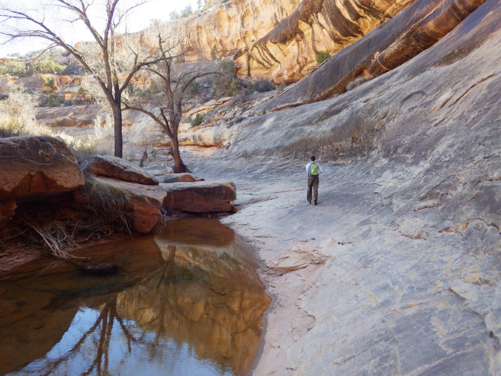
South of Canyonlands National Park is isolated Natural Bridges National Monument.  First established by President Theodore Roosevelt in 1908, it was not accessible by road until uranium mining developed this part of Utah in the 1950s.  As you may recall from our post on Arches National Park, bridges are created by flowing water, unlike arches that are primarily carved by wind.

Know someone who loves exploring new National Monuments? Gift them our book Monumental America: Your Guide to All 138 National Monuments that is available for sale on Amazon.com.

Highlights

3 huge natural bridges, scenic views, ruins, hiking, stargazing

Must-Do Activity

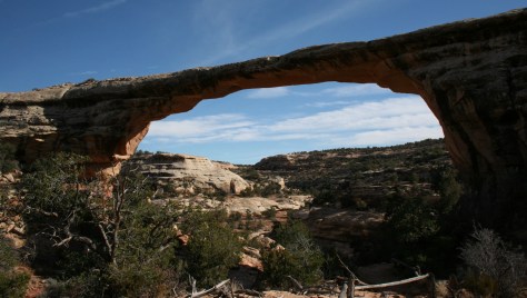
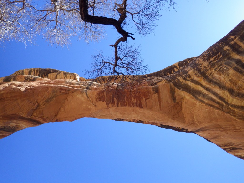
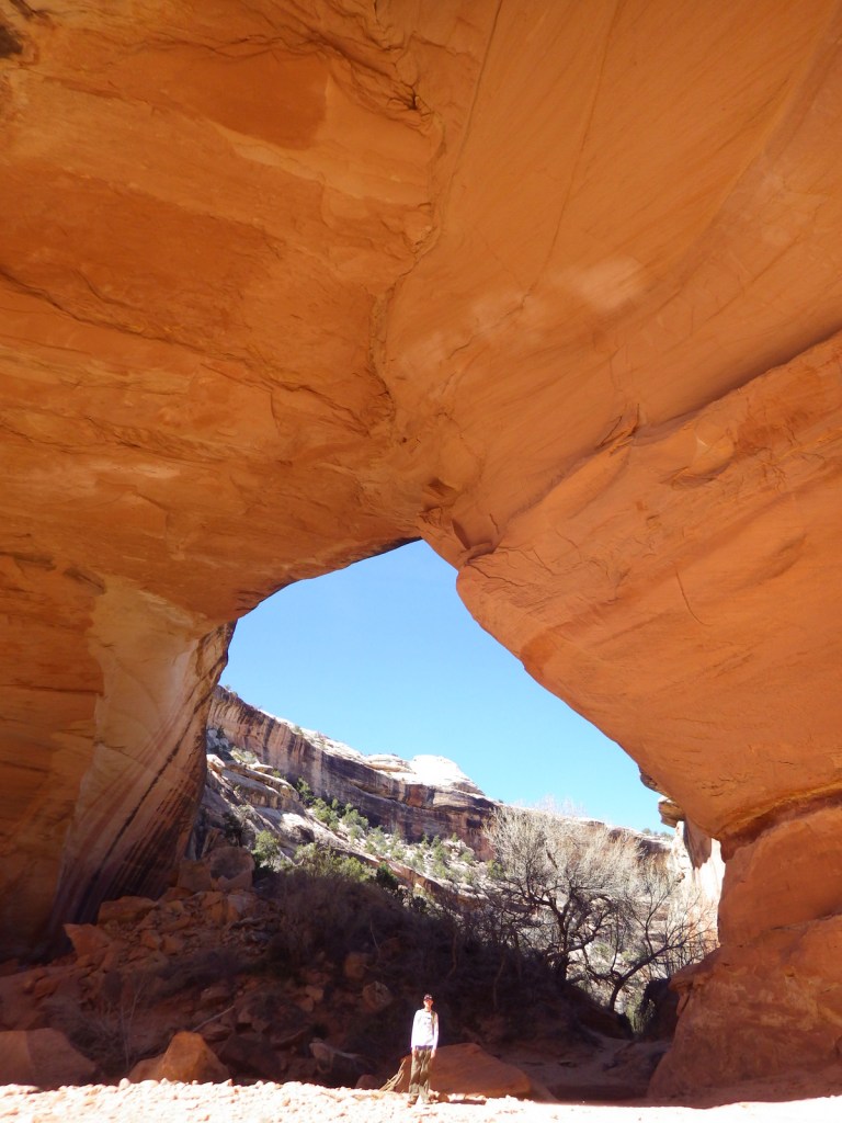
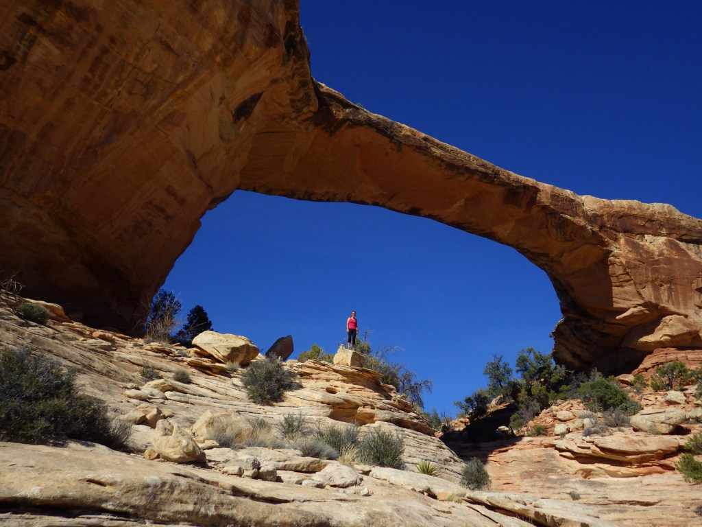
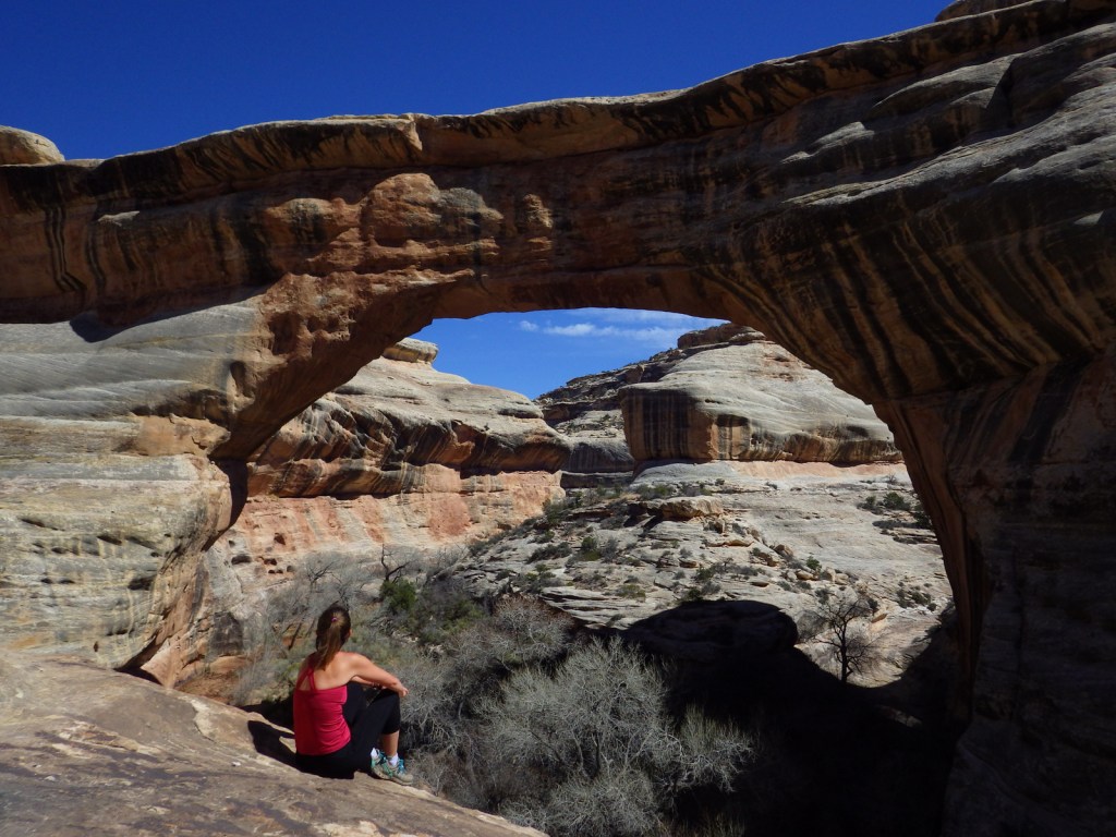
The monument is home to 220-foot tall Sipapu Bridge, which is second only to Glen Canyon’s Rainbow Bridge as the largest in the world.  Kachina Bridge, at 210 feet and growing, may catch up to it someday.  Perhaps the most visually striking of the three standing bridges is the 180-foot span of Owachomo Bridge that is only nine feet thick at its center.  Handicap accessible overlooks are available along Bridge View Drive.

Best Trail

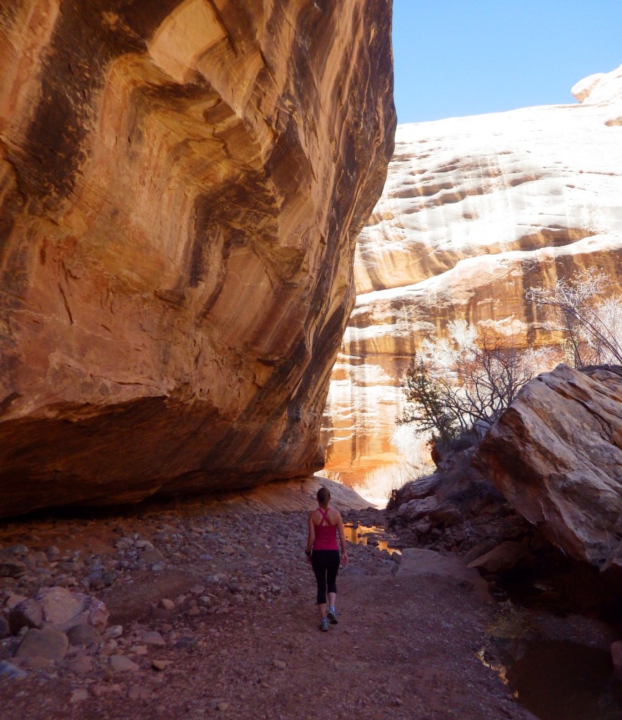
A nine-mile loop hike connects all three natural bridges, which are also accessible by shorter trails from the rim drive.  Do not attempt this rugged trek if you are not prepared; it is a rocky canyon bottom at high elevation with little shade.

Instagram-worthy Photo

Owachomo Bridge is the oldest of the three standing natural bridges in the National Monument.

Peak Season

Summer

Hours

https://www.nps.gov/nabr/planyourvisit/hours.htm

Fees

$20 per vehicle or America the Beautiful pass

Road Conditions

All roads paved

Camping

The secluded nature of this region and its elevation of 6,500 feet were factors in naming it the first International Dark Sky Park in 2007.  If you make it out this far, you might want to spend the night under the stars at the campground.

Related Sites

Rainbow Bridge National Monument (Utah)

Bryce Canyon National Park (Utah)

Capitol Reef National Park (Utah)

Nearest National Park
Canyonlands

Explore More – In 1992, how many tons of rock fell from Kachina Bridge (the youngest of the three)?

Learn more about the other 137 National Monuments in our book Monumental America: Your Guide to All 138 National Monuments

Petroglyph National Monument

Overview

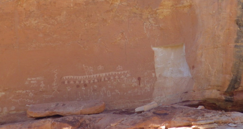
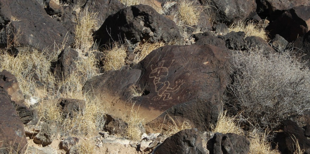
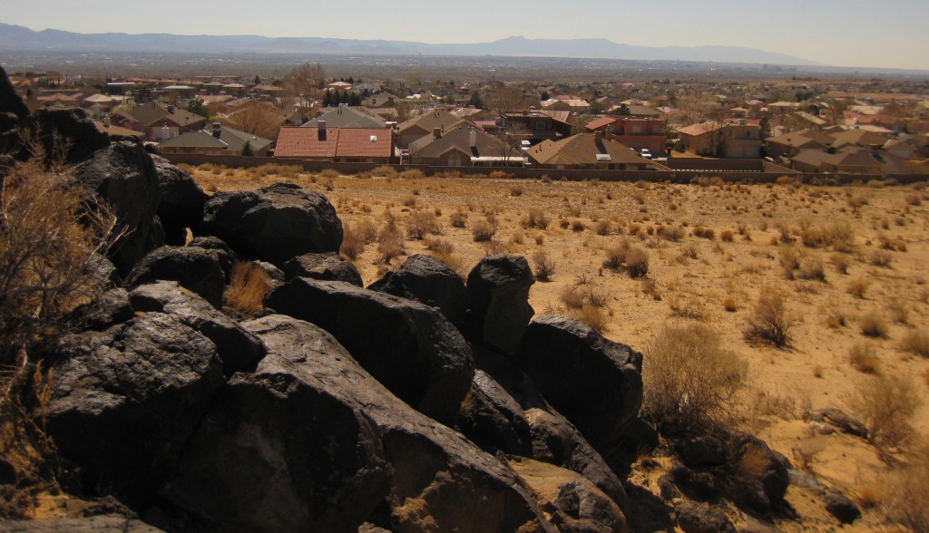
Bordered by the suburban neighborhoods of Albuquerque, Petroglyph National Monument is a nice place to take a walk and enjoy some intricate artwork.  The petroglyphs were chipped into the patina of volcanic rocks in a long-populated region of the Rio Grande Valley.  Some of these images may be up to 3,000 years old, with most believed to be carved between AD 1400 and 1700.  A few were added by Hispanic settlers and explorers through the 1800s, but the National Park Service (NPS) politely requests no aspiring artists add any more.

Highlights

Boca Negra Canyon, Rinconada Canyon Trail, Piedras Marcadas Canyon, Volcanoes Day Use Area

Must-Do Activity

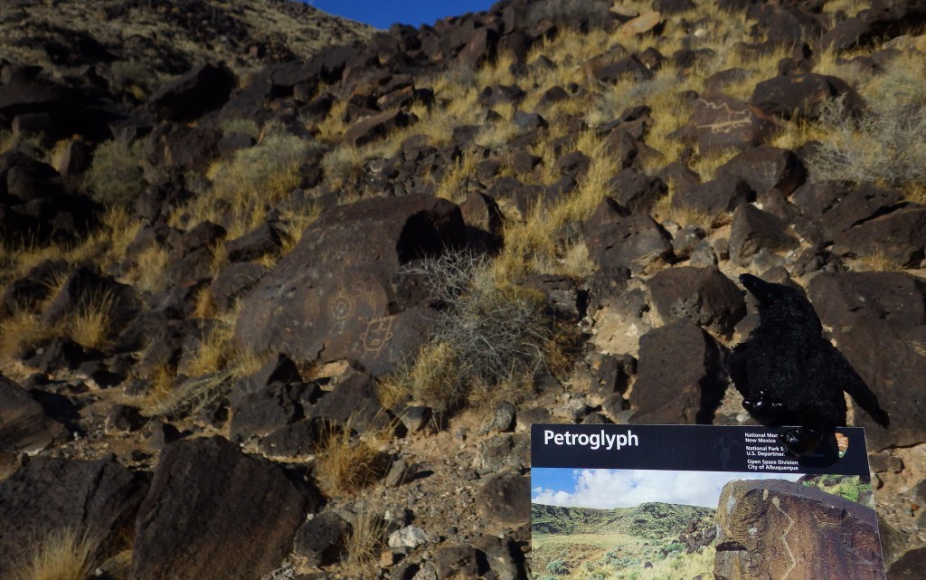
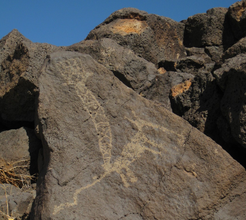
There are multiple areas of this National Monument established in 1990, some literally in Albuquerque residents’ backyards.  At Boca Negra Canyon, you will find interesting depictions of humans, snakes, and even parrots from Central America, as well as many puzzling illustrations.  Use your imagination to try to guess what the original carver was trying to display. 
Best Trail

Volcanoes Day Use Area offers loop trails around three volcanic cones on the West Mesa with incredible views of the Sandia Mountains and Rio Grande Valley (but no petroglyphs).

Instagram-worthy Photo

Rinconada Canyon Trail is 1.25 miles one-way and starts at a small NPS parking lot in suburban Albuquerque and accesses an area with thousands of petroglyphs.

Peak Season

Spring and fall

Hours

https://www.nps.gov/petr/planyourvisit/hours.htm

Fees

None

Road Conditions

All roads are paved, but be prepared for stoplights, especially on the main connecting road Unser Boulevard.

Camping

There are private campgrounds around Albuquerque, New Mexico, or you can look for options in the Cibola and Santa Fe National Forests.

Related Sites

Pecos National Historical Park (New Mexico)

El Morro National Monument (New Mexico)

Salinas Pueblo Missions National Monument (New Mexico)

Explore More – How many petroglyphs are estimated to be protected within this National Monument?

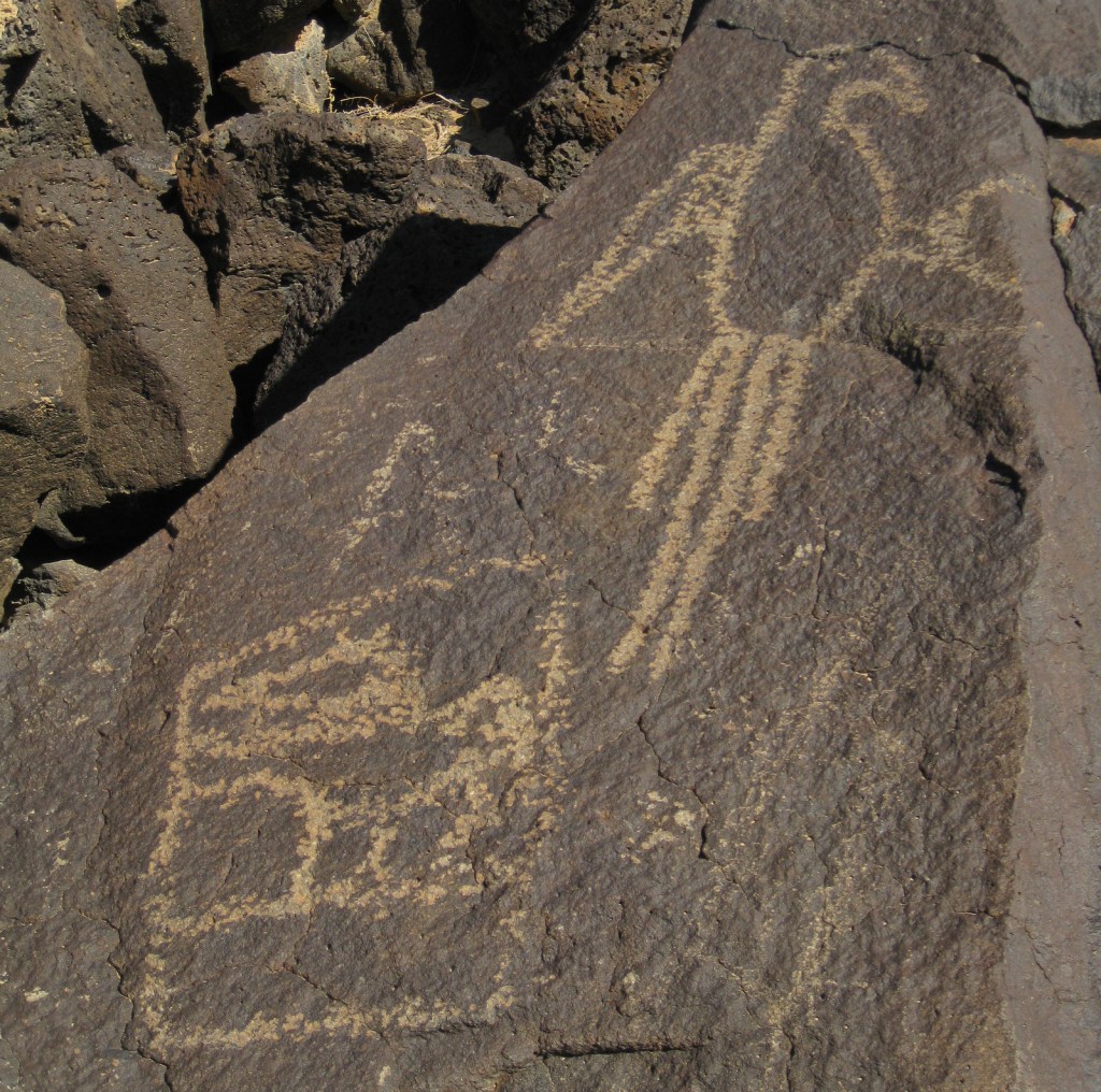
Boca Negra Canyon contains thousands of petroglyphs and fascinating volcanic rock formations.

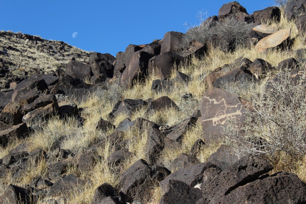
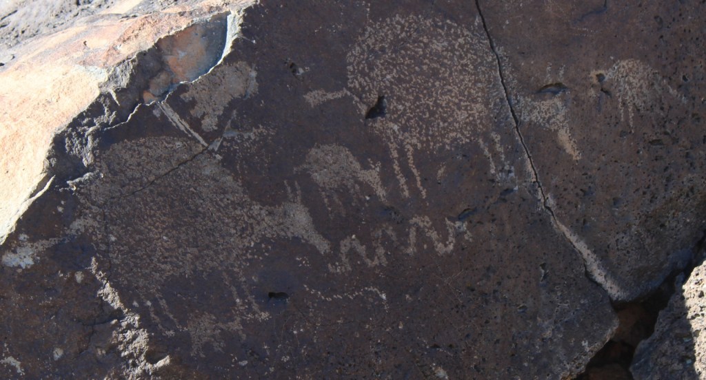
Some petroglyphs are more difficult to interpret.  I think this one depicts a yucca fruit.