Tag Archives: Native American

Walnut Canyon National Monument

Overview

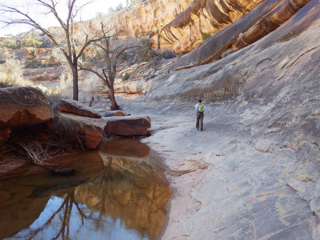
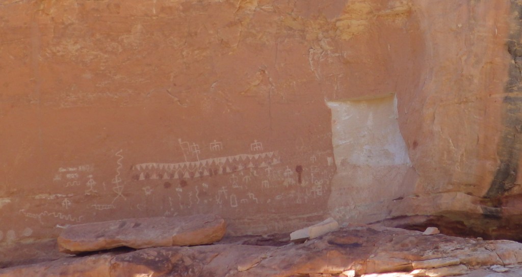
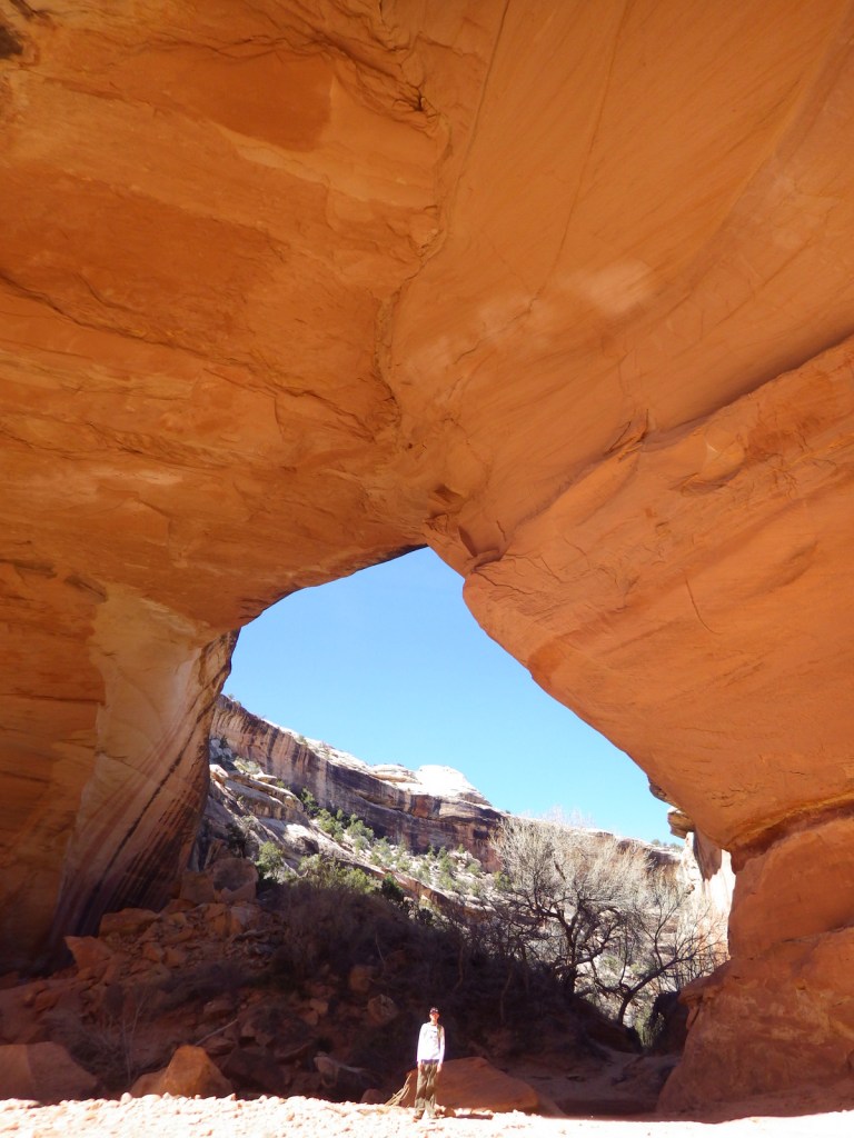
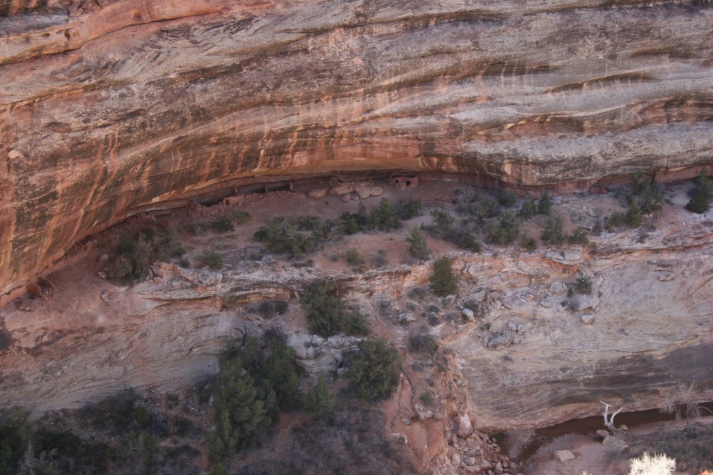
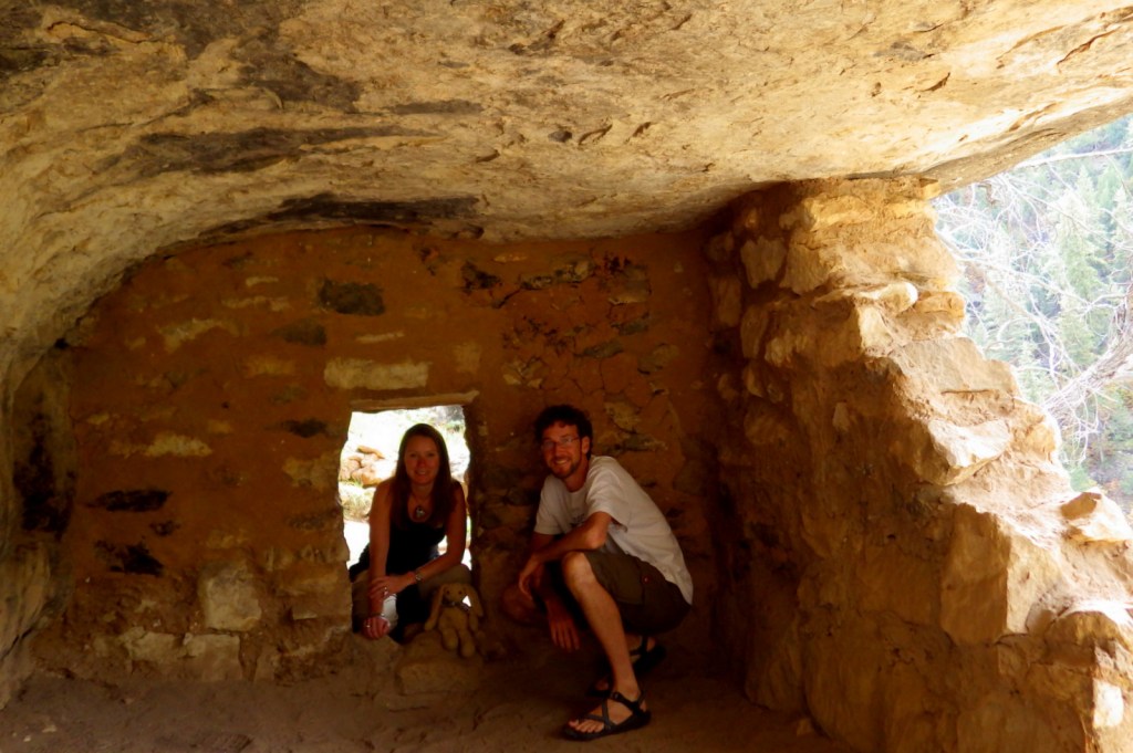
Cliff dwellings were built in Walnut Canyon around the same time another group of Sinagua was living at nearby Wupatki National Monument.  These cliff dwellings were only occupied for about a hundred years and abandoned by AD 1250.  Since 1915, they have been protected within Walnut Canyon National Monument, a 3,541-acre park on Interstate 40 east of Flagstaff, Arizona.

Highlights

Museum, ruins, scenic views

Must-Do Activity

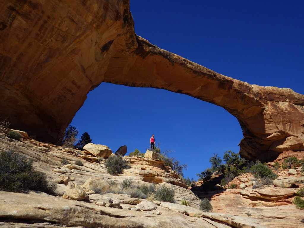
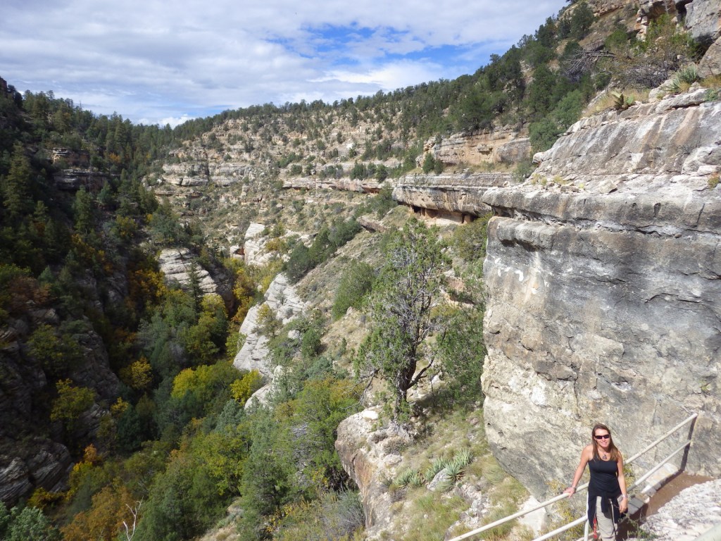
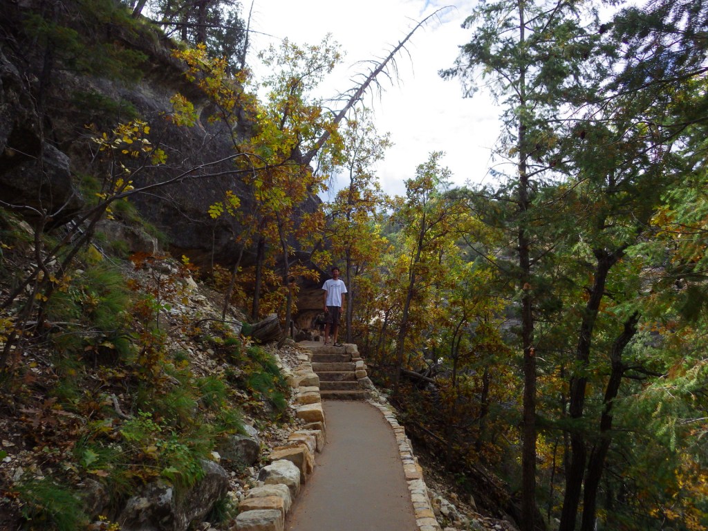
To get up close with the ruins requires a hike down 200 stairs on the one-mile Island Trail loop.  At 6,690 feet in elevation, downhill is easy, but getting back up is another matter entirely.  It is well worth the effort to get a feeling for a life spent inside the shallow limestone recesses in the canyon walls.

Best Trail

The paved Island Trail drops 185 feet and takes you right up to the 25 rooms built into the cliffs.  Above the canyon, 0.75-mile Rim Trail is handicap accessible and provides views of the ruins.

Instagram-worthy Photo

October is a great time to visit to see changing leaves in Walnut Canyon, especially the bigtooth maple trees.

Peak Season

Summer

Hours

https://www.nps.gov/waca/planyourvisit/hours.htm

Fees

$15 per person or America the Beautiful pass

Road Conditions

Access road is paved

Camping

There is not a campground at the site, but dispersed camping is allowed down the dirt road that turns off to the left just before entering the National Monument.

Related Sites

Sunset Crater Volcano National Monument (Arizona)

Montezuma Castle National Monument (Arizona)

Tuzigoot National Monument (Arizona)

Explore More – There are multiple Arizona sites in the National Park Service system dedicated to the vanished Sinagua people; what does their name mean in Spanish?

Salt River Bay National Historical Park and Ecological Preserve

Overview

When the U.S. Virgin Islands chose a National Park Service (NPS) site for their quarter (see below) in the America the Beautiful coin collection they selected this undeveloped park, which we would rank worst of the five NPS units there.  Established in 1992, it contains the only place in the United States where Christopher Columbus’s men set foot 500 years ago (although that is now underwater).  The region is still recovering after Hurricanes Irma and Maria did extensive damage in 2017, including the removal of the NPS contact station here.

Highlights

Mangroves, bioluminescent bay

Must-Do Activity

On St. Croix Island, the NPS has exhibits about this park at Christiansted National Historic Site, including descriptions of the western hemisphere’s first violent resistance by natives to European encroachment in 1493.  The park is completely undeveloped, including the archaeological sites.  The must-do activity is a kayaking trip after dark to Mangrove Lagoon to see the bioluminescent organisms there.  Plan your trip around a new moon when the darkness helps them show up better.  Do not bother bringing your waterproof camera, since it is nearly impossible to capture on film.

Best Trail

None

Instagram-worthy Photo

The long roots of mangroves help protect the shore from storm damage and provide a safe hiding place for small fish.

Peak Season

Spring

Hours

https://www.nps.gov/sari/planyourvisit/hours.htm

Fees

None, except for guided tours of the bioluminescent bay

Road Conditions

Access roads paved

Camping

There is no official campground, but locals have semi-permanent camps set up on the beach within Salt River Bay National Historical Park and Ecological Preserve and other parts of the island.  We found the best deals on St. Croix Island were available through Airbnb.

Related Sites

Buck Island Reef National Monument (U.S. Virgin Islands)

Christiansted National Historic Site (U.S. Virgin Islands)

Virgin Islands National Park (U.S. Virgin Islands)

Explore More – This park contains the only Taino ballcourt in the Caribbean built before Columbus’s arrival; when was it discovered?

We are a participant in the Amazon Services LLC Associates Program, an affiliate advertising program designed to provide a means for us to earn fees by linking to Amazon.com and affiliated sites.

Natural Bridges National Monument

Overview

South of Canyonlands National Park is isolated Natural Bridges National Monument.  First established by President Theodore Roosevelt in 1908, it was not accessible by road until uranium mining developed this part of Utah in the 1950s.  As you may recall from our post on Arches National Park, bridges are created by flowing water, unlike arches that are primarily carved by wind.

Highlights

3 huge natural bridges, scenic views, ruins, hiking, stargazing

Must-Do Activity

The monument is home to 220-foot tall Sipapu Bridge, which is second only to Glen Canyon’s Rainbow Bridge as the largest in the world.  Kachina Bridge, at 210 feet and growing, may catch up to it someday.  Perhaps the most visually striking of the three standing bridges is the 180-foot span of Owachomo Bridge that is only nine feet thick at its center.  Handicap accessible overlooks are available along Bridge View Drive.

Best Trail

A nine-mile loop hike connects all three natural bridges, which are also accessible by shorter trails from the rim drive.  Do not attempt this rugged trek if you are not prepared; it is a rocky canyon bottom at high elevation with little shade.

Instagram-worthy Photo

Owachomo Bridge is the oldest of the three standing natural bridges in the National Monument.

Peak Season

Summer

Hours

https://www.nps.gov/nabr/planyourvisit/hours.htm

Fees

$20 per vehicle or America the Beautiful pass

Road Conditions

All roads paved

Camping

The secluded nature of this region and its elevation of 6,500 feet were factors in naming it the first International Dark Sky Park in 2007.  If you make it out this far, you might want to spend the night under the stars at the campground.

Related Sites

Rainbow Bridge National Monument (Utah)

Bryce Canyon National Park (Utah)

Capitol Reef National Park (Utah)

Explore More – In 1992, how many tons of rock fell from Kachina Bridge (the youngest of the three)?

Petroglyph National Monument

Overview

Bordered by the suburban neighborhoods of Albuquerque, Petroglyph National Monument is a nice place to take a walk and enjoy some intricate artwork.  The petroglyphs were chipped into the patina of volcanic rocks in a long-populated region of the Rio Grande Valley.  Some of these images may be up to 3,000 years old, with most believed to be carved between AD 1400 and 1700.  A few were added by Hispanic settlers and explorers through the 1800s, but the National Park Service (NPS) politely requests no aspiring artists add any more.

Highlights

Boca Negra Canyon, Rinconada Canyon Trail, Piedras Marcadas Canyon, Volcanoes Day Use Area

Must-Do Activity

There are multiple areas of this National Monument established in 1990, some literally in Albuquerque residents’ backyards.  At Boca Negra Canyon, you will find interesting depictions of humans, snakes, and even parrots from Central America, as well as many puzzling illustrations.  Use your imagination to try to guess what the original carver was trying to display. 

Best Trail

Volcanoes Day Use Area offers loop trails around three volcanic cones on the West Mesa with incredible views of the Sandia Mountains and Rio Grande Valley (but no petroglyphs).

Instagram-worthy Photo

Rinconada Canyon Trail is 1.25 miles one-way and starts at a small NPS parking lot in suburban Albuquerque and accesses an area with thousands of petroglyphs.

Peak Season

Spring and fall

Hours

https://www.nps.gov/petr/planyourvisit/hours.htm

Fees

None

Road Conditions

All roads are paved, but be prepared for stoplights, especially on the main connecting road Unser Boulevard.

Camping

There are private campgrounds around Albuquerque, New Mexico, or you can look for options in the Cibola and Santa Fe National Forests.

Related Sites

Pecos National Historical Park (New Mexico)

El Morro National Monument (New Mexico)

Salinas Pueblo Missions National Monument (New Mexico)

Explore More – How many petroglyphs are estimated to be protected within this National Monument?

Boca Negra Canyon contains thousands of petroglyphs and fascinating volcanic rock formations.

Some petroglyphs are more difficult to interpret.  I think this one depicts a yucca fruit.

Casa Grande Ruins National Monument

Overview

The ruins of this four-story pueblo in Coolidge, Arizona were originally protected as Casa Grande Reservation in 1892, the first time an archaeological site was given this designation by the federal government.  The National Park Service (NPS) took over management in 1918 when it was named a National Monument and in 1932 a protective cover was designed by Frederick Law Olmsted to prevent further erosion.  It is hard to believe when looking around the desert today, but the Hohokom farmed the Gila River Valley for over a thousand years until abandoning the area in the mid-1400s.  To accomplish this feat, they dug nearly a thousand miles of irrigation canals measuring 10 feet wide and 10 feet in depth.

Highlights

Museum, film, ruins

Must-Do Activity

Its name means “Big House” in Spanish and you will see why when you take the short, flat walk (handicap accessible) around the multi-story ruin and ballcourts.  Built in the early 1300s, the pueblo was only inhabited for about a century.  The NPS runs an excellent museum at the site that shows an introductory film.  The nearby Hohokam Pima National Monument shows up on NPS maps (and is counted in the 420+ units in the NPS system), but the O’odham do not allow access to the site on their reservation.

Best Trail

None

Instagram-worthy Photo

There are pigeons instead of ravens at this NPS site.

Peak Season

Winter

Hours

https://www.nps.gov/cagr/planyourvisit/hours.htm

Fees

None

Road Conditions

All roads paved

Camping

No camping at the NPS site, but options are available nearby in Tonto National Forest and Picacho Peak State Park (right off Interstate 10).

Related Sites

Tonto National Monument (Arizona)

Tuzigoot National Monument (Arizona)

Saguaro National Park (Arizona)

Explore More – In 1694, who was the famous Jesuit priest that became the first European to see Casa Grande?