Tag Archives: Native American

Fort Bowie National Historic Site

Overview

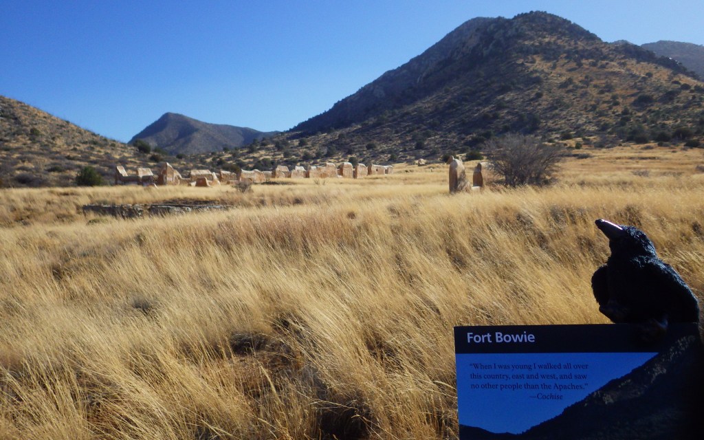
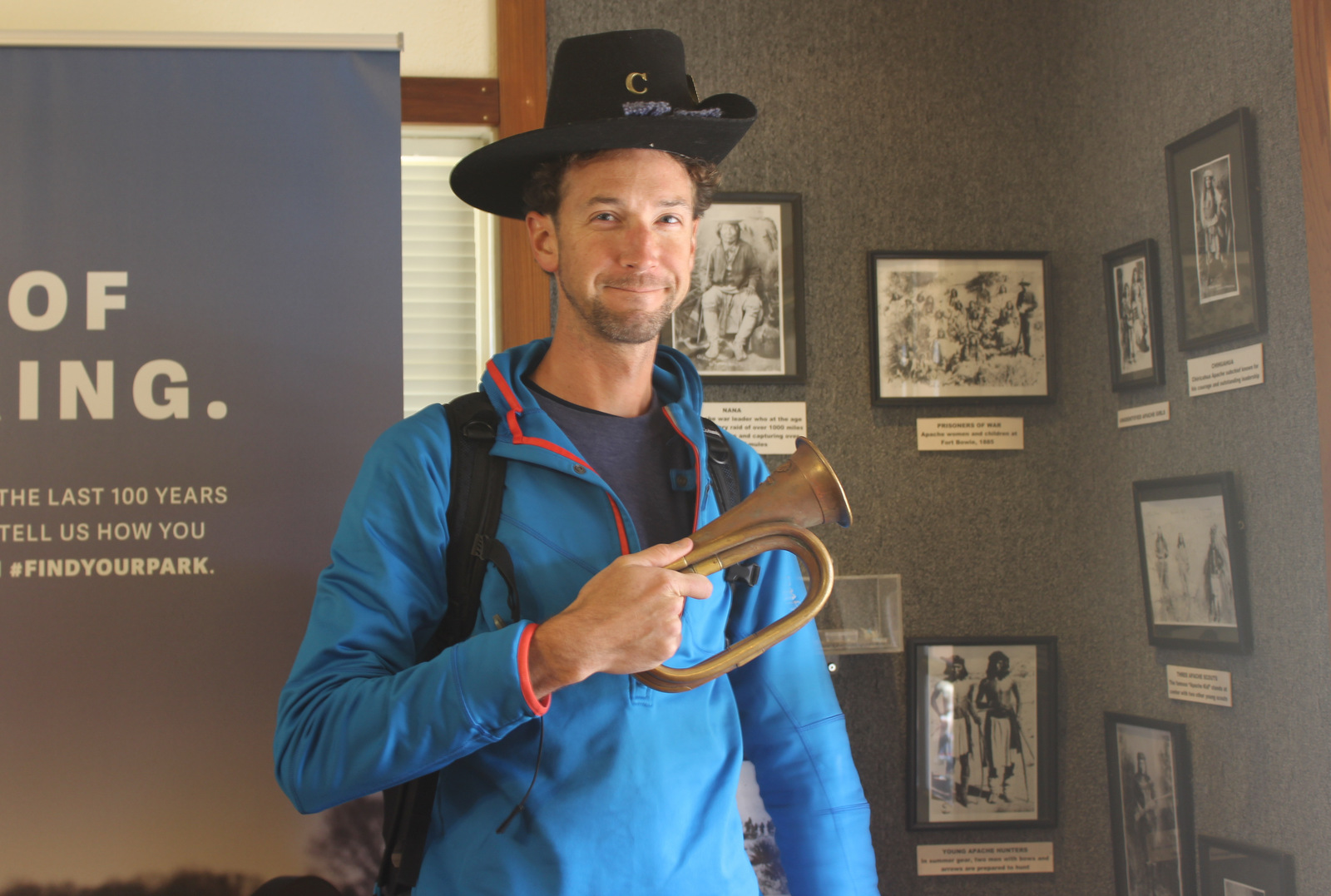
The spring at Apache Pass has attracted humans to this part of the Sonoran Desert for hundreds of years (at least).  As you might have guessed from its name, the Apaches were the area’s inhabitants when the Butterfield Overland Mail route built a station here in 1858.  Four years later, after Apaches ambushed the Union Army during the Civil War, they constructed Fort Bowie to help keep peace in New Mexico.  The fort received an upgrade in 1868, and then was used to fight against Cochise and Geronimo until it was finally abandoned in 1894.

Highlights

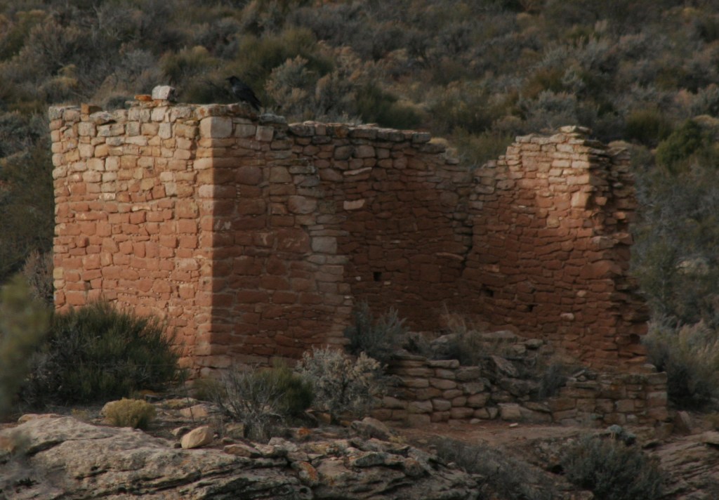
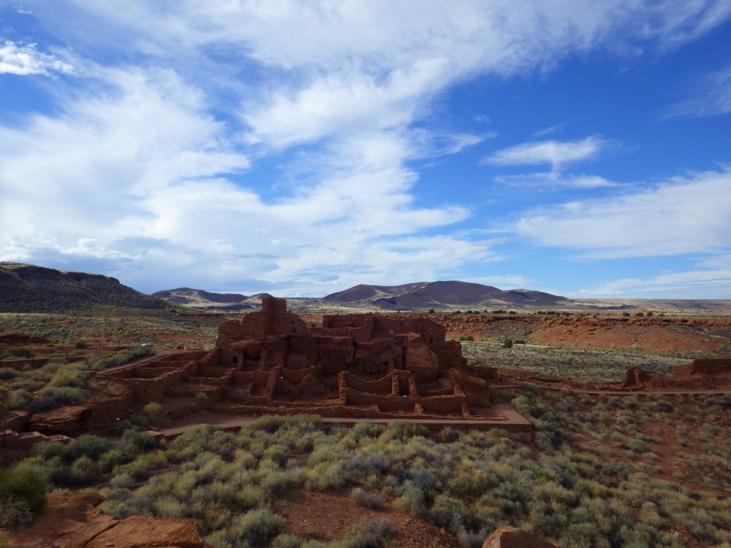
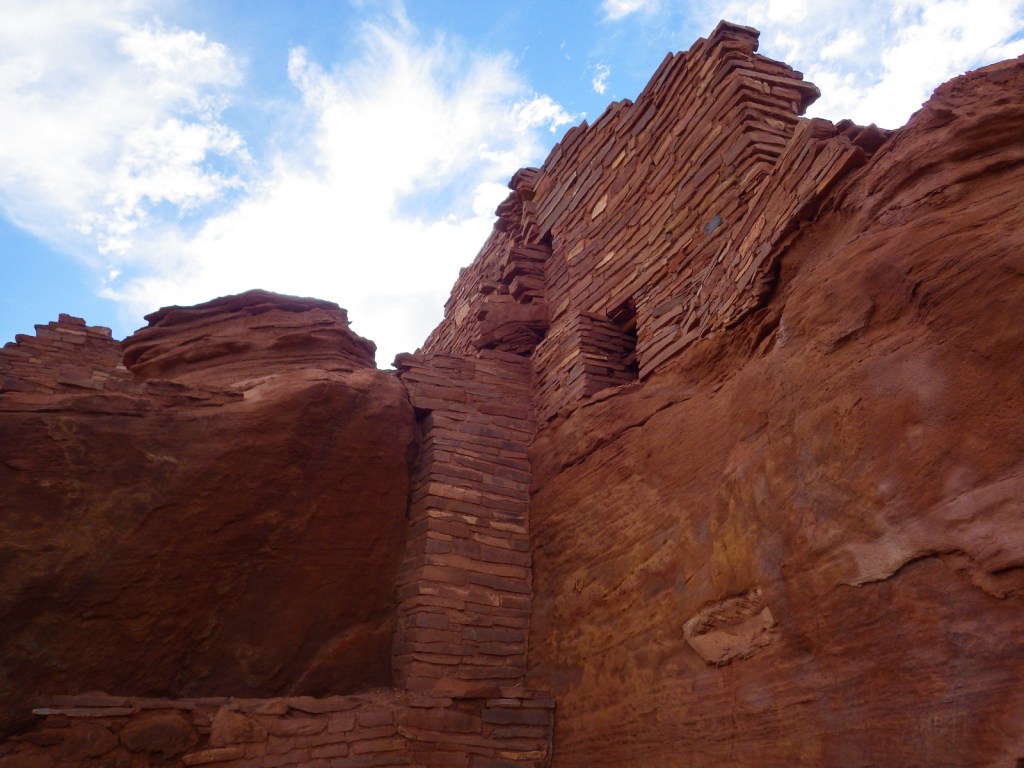
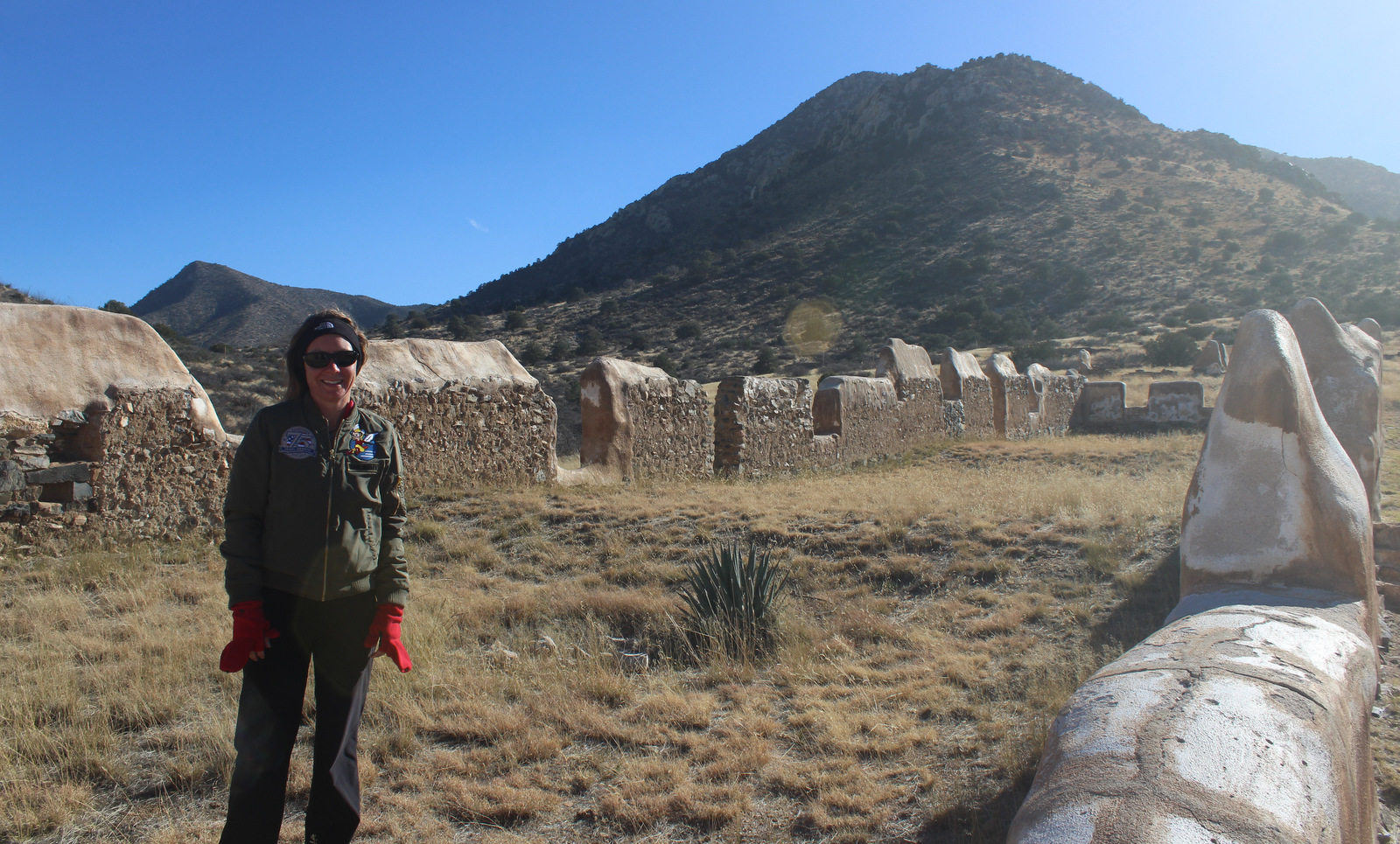
Fort Bowie ruins, cemetery, stage station ruins, site of wagon train massacre

Must-Do Activity

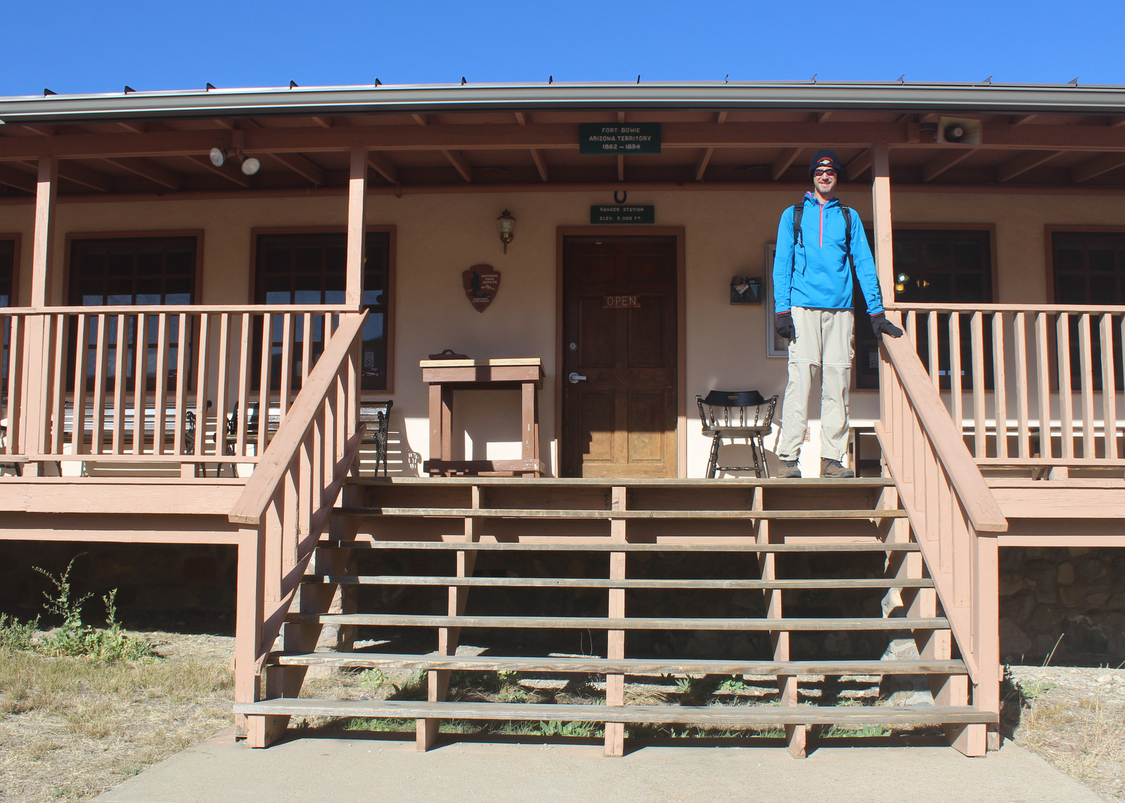
To visit the National Park Service (NPS) visitor center, the literal “must-do activity” is to hike 1.5 miles from the trailhead.  You do pass interpretive signs, a cemetery, and ruins along the way, plus you earn an “I Hike For Health” pin just by getting there.  For those unable to hike the trail, contact the NPS for alternate access directions.

Best Trail

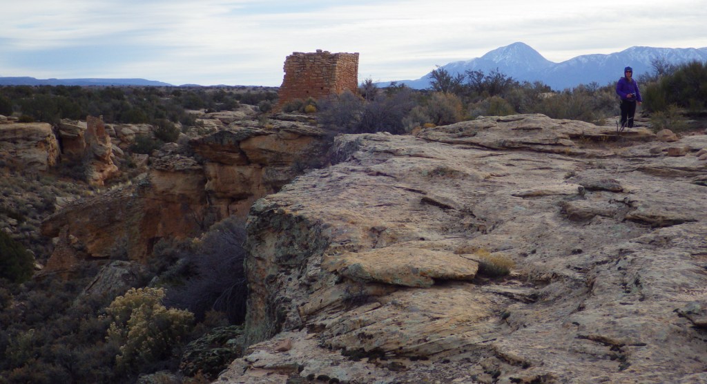
Getting to the NPS visitor center means hiking three miles roundtrip in a shadeless desert.  If it is a nice day, make a loop of it by taking Overlook Ridge on the way back to the trailhead.

Instagram-worthy Photo

The post cemetery has freshly-painted wooden grave markers, including one for Geronimo’s two-year-old son.

Peak Season

Winter

Hours

https://www.nps.gov/fobo/planyourvisit/hours.htm

Fees

None

Road Conditions

Access to this NPS site requires driving a graded dirt road that is impassable during flash floods.

Camping

Private campgrounds are available in Bowie and Wilcox, Arizona, but we recommend a night at the NPS campground in Chiricahua National Monument (which is well-known for its ringtail and coati sightings).

Related Sites

Chiricahua National Monument (Arizona)

Coronado National Memorial (Arizona)

Tumacacori National Historical Park (Arizona)

Explore More – When did Geronimo finally surrender to U.S. troops before being sent to Fort Bowie and on to Florida’s Fort Pickens (now part of Gulf Islands National Seashore)?

Timucuan Ecological and Historic Preserve

Overview

The Timucuan Indians inhabited northeastern Florida’s coastal wetlands and maritime hammocks when French colonists first arrived in 1562.  The settlers constructed Fort Caroline (a National Memorial established in 1950), which the National Park Service (NPS) administers as a unit of Timucuan Ecological and Historic Preserve (established in 1988).  Start your visit at the NPS museum at Fort Caroline National Memorial, which provides information on the indigenous Timucuan, as well as the European colonization efforts.  Then you can tour a one-third scale reconstruction of the triangular Fort Caroline based upon a drawing from 1564 by French artist Jacques le Moyne.

Highlights

Fort Caroline, Kingsley Plantation, Theodore Roosevelt Area

Must-Do Activity

The second place the NPS manages a visitor center is at Kingsley Plantation on Fort George Island east of Jacksonville, Florida.  Established in 1798, it is the oldest remaining plantation house in Florida.  Slaves here harvested Sea Island cotton, which is still grown in a small garden alongside indigo, another regional cash crop.  Visitors can take a self-guided trail around the property, but tours inside the main plantation house are only offered on weekends and require a reservation.

Best Trail

The 1.5-mile Willie Browne Trail winds through the 600 undeveloped acres at Theodore Roosevelt Area, donated by the trail’s namesake to the Nature Conservancy in 1969.  The Spanish Pond Trail connects this trail with Fort Caroline National Memorial.

Instagram-worthy Photo

The tabby walls of 23 of the original 32 slave quarters still stand in a row at Kingsley Plantation. 

Peak Season

Winter

Hours

https://www.nps.gov/timu/planyourvisit/hours.htm

Fees

None

Road Conditions

All major roads are paved, but the fastest route between Fort Caroline and Kingsley Plantation is probably via the St. Johns River Ferry.

Camping

The NPS does not have a campground, but nearby Little Talbot Island State Park, Huguenot Memorial Park, and Kathryn Abbey Hanna Park all do.

Related Sites

Fort Caroline National Memorial (Florida)

Fort Matanzas National Monument (Florida)

Castillo de San Marcos National Monument (Florida)

Explore More – Florida had “relatively liberal” racial policies under Spanish rule, but that changed when it became a U.S. territory in what year?

Hovenweep National Monument

Overview

Partially surrounded by Canyons of the Ancients National Monument (run by the Bureau of Land Management), Hovenweep National Monument occupies a remote area on the southern Utah-Colorado border.  Established in 1923, it is composed of six units, the largest of which has a National Park Service (NPS) visitor center on the rim of Little Ruin Canyon, the location of the variable architectural styles of Square Tower Group. 

Highlights

Square Tower Group, Holly Group, Cajon Group, Hackberry Group, Cutthroat Castle Group

Must-Do Activity

At Square Tower Group a two-mile loop hike takes visitors past an impressive collection of structures that date back to the 1200s, the same period that Ancestral Puebloans inhabited nearby Mesa Verde National Park.  The variety of building styles in this narrow canyon is remarkable, from Square Tower and Hovenweep Castle to Twin Towers and the unique Eroded Boulder House.  There is almost no shade to be found on the sagebrush plain of Cajon Mesa, so visiting in the heat of summer may not be as enjoyable.  The good news is that it makes for boundless vistas, especially to the south where Sleeping Ute Mountain looms.

Best Trail

The loop trail at Square Tower Group is paved and wheelchair accessible to the first overlook at Stronghold Point, but then gets much rougher over its two miles, especially at the end where it drops into Little Ruin Canyon.  A four-mile one-way trail connects this area to the Holly Group of ruins.

Instagram-worthy Photo

Little Ruin Canyon has one of the highest density collections of ruins anywhere in the southwest U.S., including the cool Eroded Boulder House, a part of the Square Tower Group.

Peak Season

Spring and fall

Hours

https://www.nps.gov/hove/planyourvisit/hours.htm

Fees

$20 per vehicle or America the Beautiful pass

Road Conditions

Despite its remote location, roads are paved to Square Tower Group, but accessing most of the other units requires driving or hiking rough dirt roads.  Further east in Colorado’s Canyons of the Ancients National Monument, visitors can drive well-maintained roads to the Escalante Ruins and Lowry Pueblo, as well as the two trailheads for Sand Canyon.

Camping

The NPS runs a 30-site campground (for a fee) at its visitor center near Square Tower Group.  Dispersed camping is allowed in many parts of Canyons of the Ancients National Monument.

Related Sites

Yucca House National Monument (Colorado)

Natural Bridges National Monument (Utah)

La Sal National Forest (Utah)

Nearest National Park

Canyonlands

Explore More – Hovenweep is a Ute-Paiute word that translates as what?

Natchez National Historical Park

Overview

Authorized in 1988, Natchez National Historical Park occupies 82 acres in the riverside town of Natchez, Mississippi.  The town started as Fort Rosalie, a French trading post built on the Mississippi River in the early 1700s, now the site of the Visitor Reception Center.  National Park Service (NPS) rangers or volunteers are always on location at the William Johnson House and Melrose Estate.  Although it is not part of the NPS unit, we also recommend a stop at the Grand Village of the Natchez Indians State Historic Site for its free museum, film, historic mounds, and air conditioning (which is important in the humid summer).

Highlights

Melrose Estate, William Johnson House, Fort Rosalie

Must-Do Activity

The museum in the William Johnson House tells the story of a slave freed at age 11 by his owner, also named William Johnson and presumed to be his father.  The boy apprenticed to a barber, eventually becoming a successful businessman and slave owner himself.  A diary he kept for 16 years provides insight into antebellum Natchez, including the May 7, 1840 tornado that destroyed downtown, which had about 5,000 inhabitants at the time.  Inside the NPS museum you will learn the strange story of William Johnson’s murder in 1851 that ended in three mistrials.

Best Trail

Naturally, Natchez is one terminus of the Natchez Trace Parkway, which also preserves its share of history starting at the Elizabeth Female Academy Site (Milepost 5.1) just outside town.  There are a few portions of the Old Trace that you can still follow along on the Natchez Trace National Scenic Trail.

Instagram-worthy Photo

The Melrose Estate recalls the antebellum period when slaves grew cotton in the rich soil of the Mississippi River floodplains.

Peak Season

Spring and fall

Hours

https://www.nps.gov/natc/planyourvisit/hours.htm

The NPS museum at the William Johnson House is closed daily for lunch.

Fees

None for Fort Rosalie, William Johnson House, and Melrose Estate grounds, but $10 per person for mansion interior tours (no discount for America the Beautiful pass)

Road Conditions

All roads paved

Camping

Rocky Springs is the furthest south campground managed by the NPS on the Natchez Trace Parkway (Milepost 54.8) and it has no fees for camping.

Related Sites

Vicksburg National Military Park (Mississippi)

Cane River Creole National Historical Park (Louisiana)

Natchez Trace National Scenic Trail (Mississippi-Alabama-Tennessee)

Explore More – In 1839 a fire burned through Natchez destroying the William Johnson House, but the family was living in the country at the time to avoid an epidemic of what disease?

Wupatki National Monument

Overview

In the open plateau northeast of Flagstaff, Arizona lies 35,000 acres set aside in 1924 to protect a collection of archaeological sites.  A 35-mile drive through Sunset Crater Volcano National Monument and adjacent Wupatki National Monument passes through ponderosa pine forests and sunflower-filled meadows on its way to an arid, rocky high desert.  Archaeologists theorize the Ancestral Puebloan people were attracted to this place by the fertile volcanic ash deposited by the contemporaneous eruptions at Sunset Crater. 

Highlights

Wupatki Pueblo, Lomaki Pueblo, Citadel and Nalakihu Pueblos, Wukoki Pueblo

Must-Do Activity

The most famous of the ruins is named Wupatki Pueblo, a three-story, 100-room house inhabited by Sinagua around AD 1100.  At the height of its occupation, the structure was three stories tall and contained 100 rooms.  Its location near a spring allowed villagers to farm the volcanically-enriched soil, plus the leisure to build an amphitheater and ball court.  Here there is more than just crumbling ruins and pottery shards behind glass in a museum; there is a palpable feeling that this was a place where people lived.

Best Trail

The paved walking loop from the visitor center at Wupatki Pueblo is a half mile long and there are short interpretive trails at several additional ruins (see Highlights above), most located not far from parking lots.

Instagram-worthy Photo

Next to the ball court, do not miss the small opening to a larger cavern (or earthcrack) that breathes in or out depending upon the change in barometric pressure.  It is not hard to imagine kids playing here hundreds of years ago.

Peak Season

Summer

Hours

https://www.nps.gov/wupa/planyourvisit/hours.htm

Fees

$25 per vehicle (or America the Beautiful pass), which also covers entrance to neighboring Sunset Crater Volcano National Monument

Road Conditions

All roads to ruins are paved, but there is one dirt road that leads to the Little Colorado River, which forms the border with the Navajo Indian Reservation.

Camping

The U.S. Forest Service runs the Bonito Campground across from the Sunset Crater visitor center between May and October.  Dispersed camping is allowed in portions of Coconino National Forest.

Related Sites

Walnut Canyon National Monument (Arizona)

Tuzigoot National Monument (Arizona)

Grand Canyon National Park (Arizona)

Explore More – What were the two main types of sedimentary rock used to construct the pueblos?