Baaj Nwaavjo I’tah Kukveni–Ancestral Footprints of the Grand Canyon National Monument
Arizona
Managed by U.S. Forest Service, Bureau of Land Management
Established 2023
917,618 acres
Website: https://www.blm.gov/national-conservation-lands/arizona/ancestral-footprints
Overview
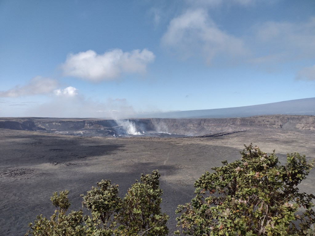
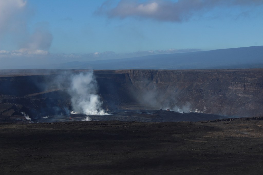
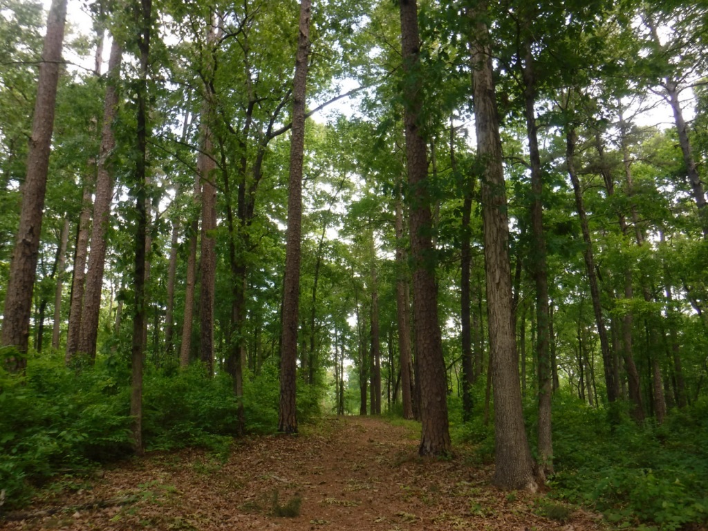
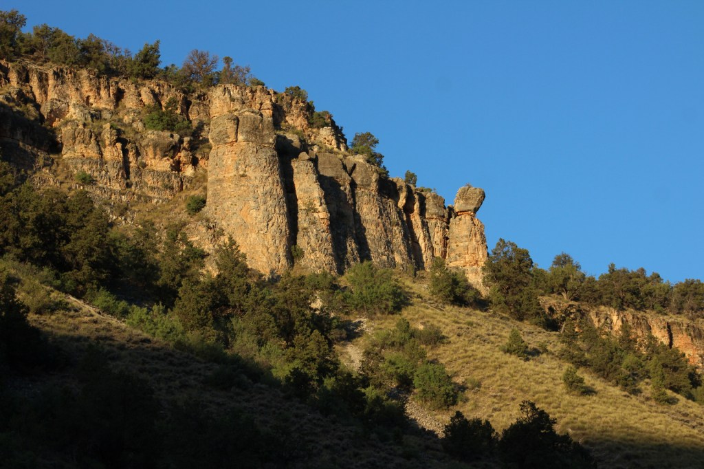
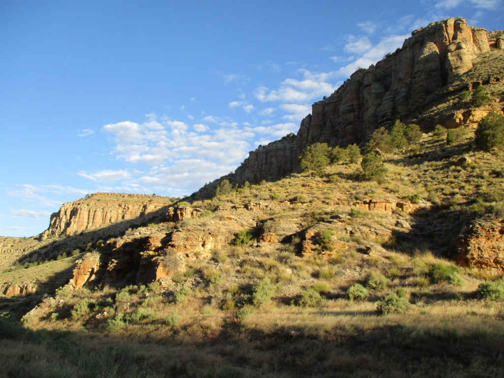
This new National Monument is situated on both the North and South Rim of the Grand Canyon, but outside the boundaries of Grand Canyon National Park. It includes the entirety of the Tusayan District of Kaibab National Forest on the South Rim, as well as two sections east and west of the 9,000-foot Kaibab Plateau on the Arizona Strip. Its name is derived from the Havasupai words Baaj Nwaavjo, which translate as “where indigenous peoples roam,” plus the Hopi term I’tah Kukveni, which means “our ancestral footprints.” According to the Bureau of Land Management (BLM) website it is pronounced “Baahj-Nuh-Waahv-Joh, Ee-Tah-Kook-Venny.” The National Monument was created primarily to prevent future uranium mining claims in this area and further protect evidence of thousands of years of human habitation (see Best Trail).
Learn more about the other 137 National Monuments in our book Monumental America: Your Guide to All 138 National Monuments. It is now available for sale on Amazon.com.
Highlights
Red Butte, Hull Cabin, Apex Logging Camp, Grand Canyon Airport Historic District, Marble Canyon, Snake Gulch, Arizona National Scenic Trail
Must-Do Activity
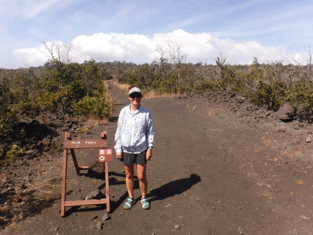
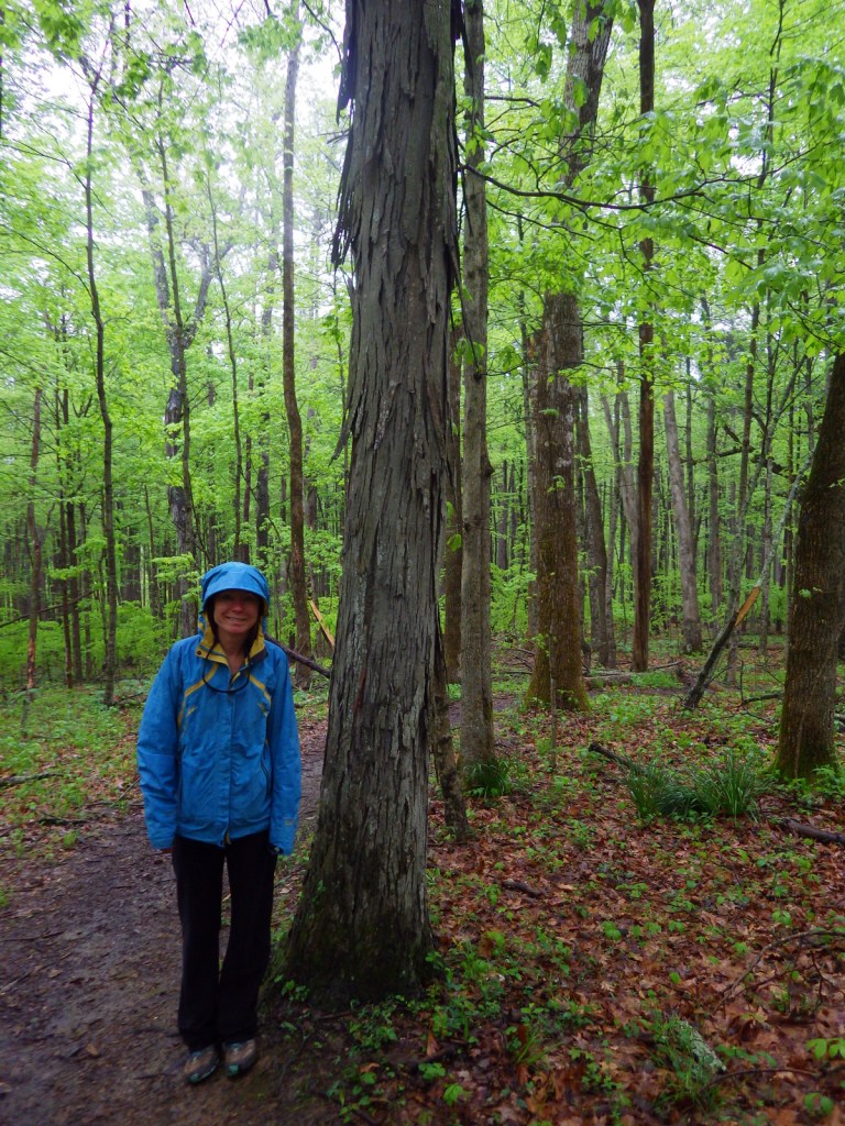
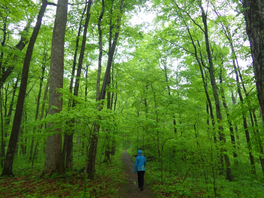
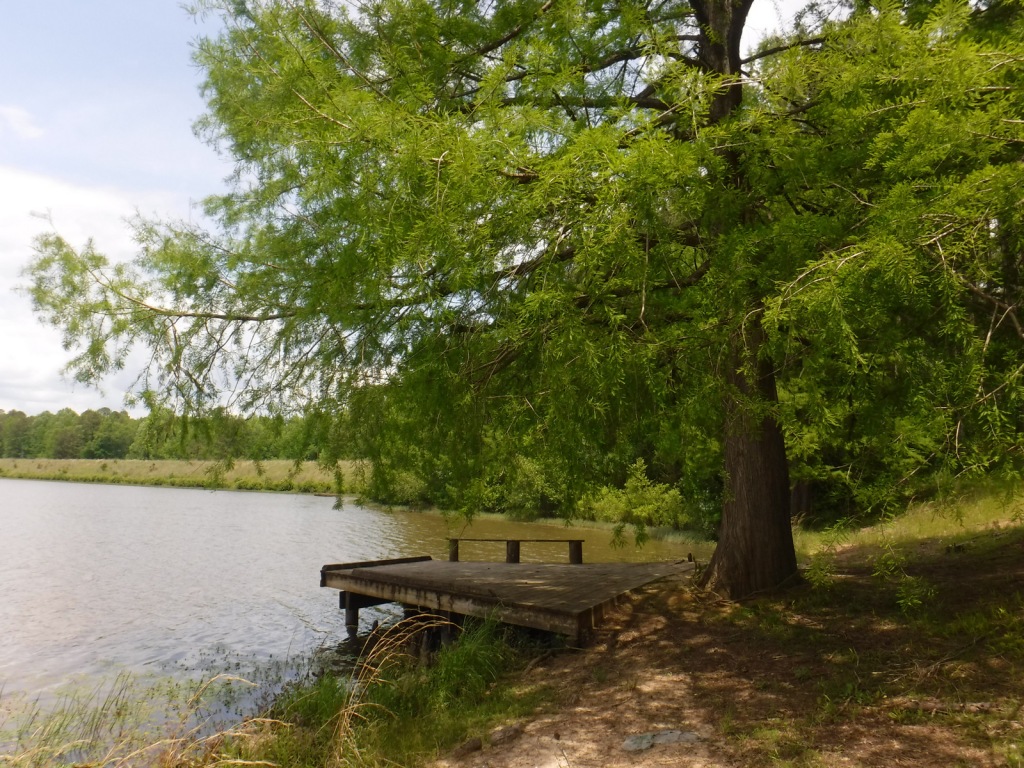
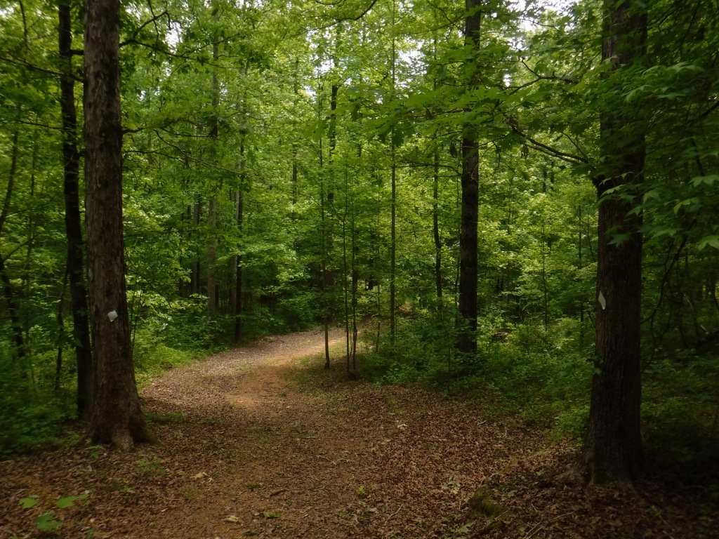
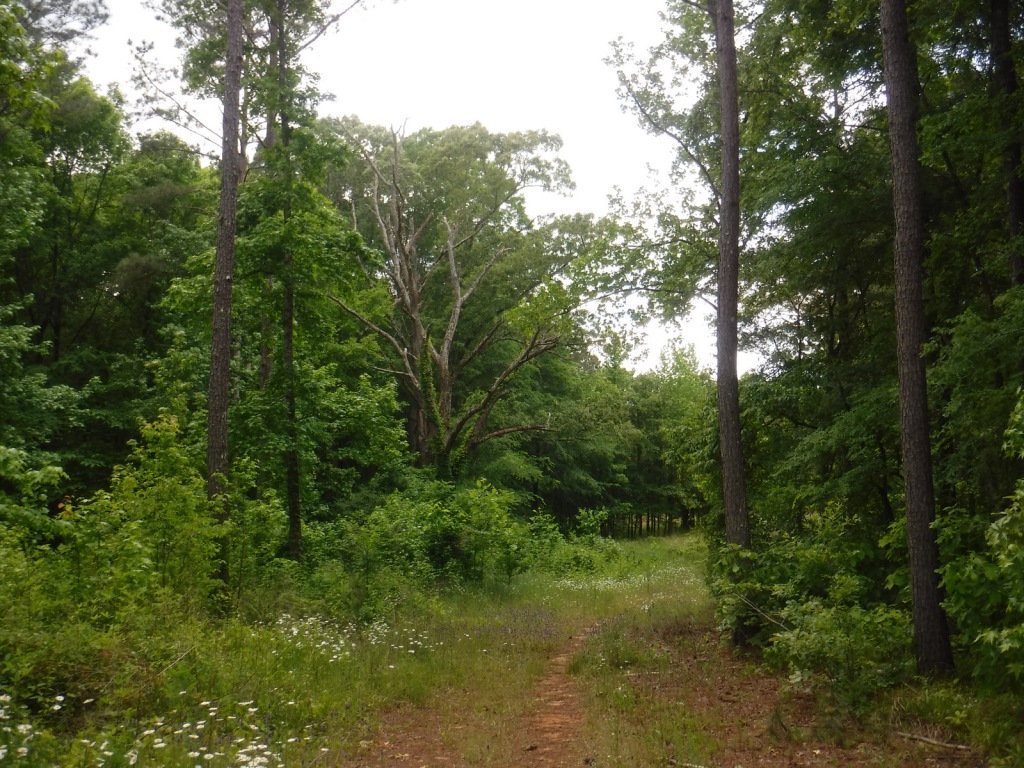
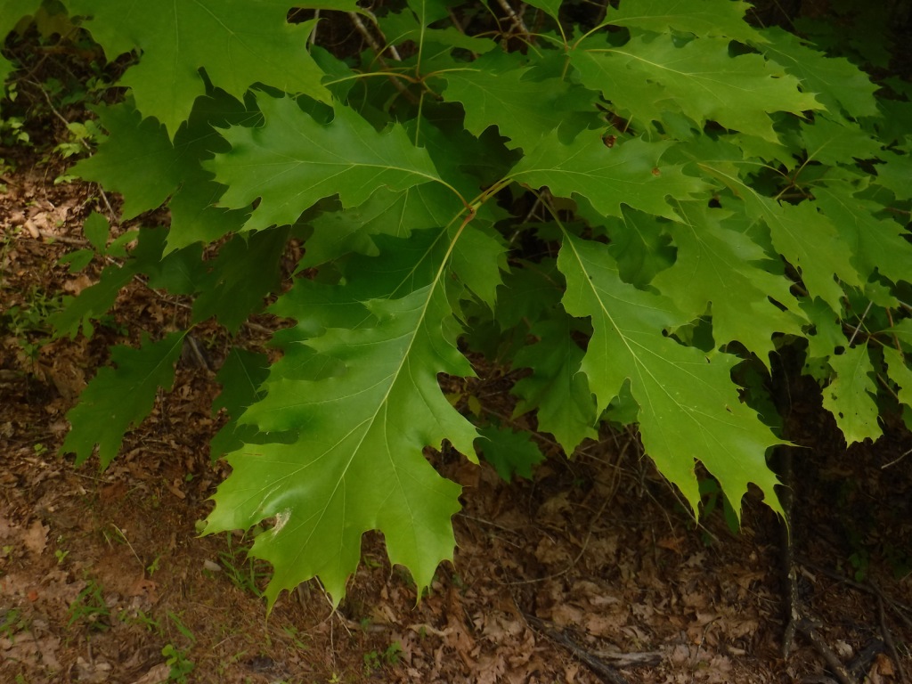
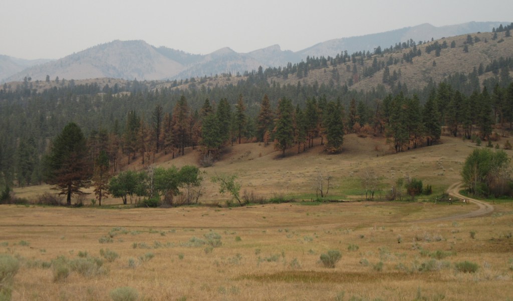
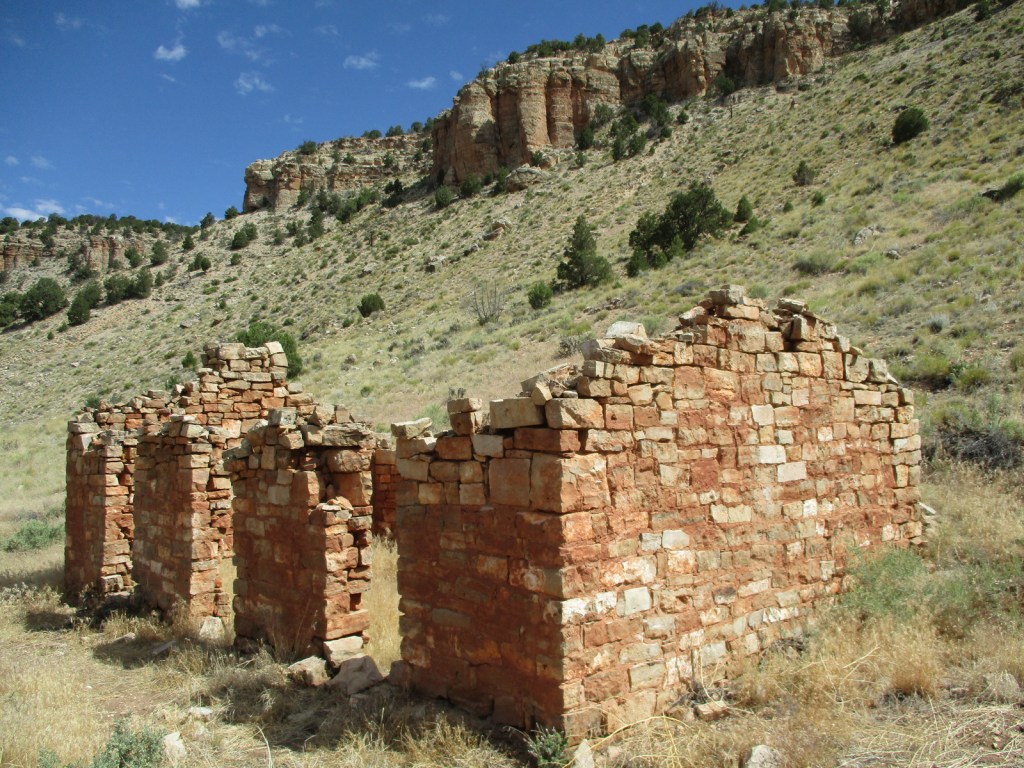
Red Butte is located just east of paved Highway 64/180 on the way to Grand Canyon National Park’s South Rim. A short 3.3-mile out-and-back trail with 912 feet of elevation gain is found at this geological formation sacred to the Havasupai, Hualapai, Navajo, Hopi, and Zuni people. Also in this area, Hull Cabin dates back to 1889 and Apex Logging Camp was situated along the Grand Canyon Railroad between 1928 and 1936 (although not much remains other than the foundation of a one-room schoolhouse). The Arizona National Scenic Trail runs through this part of Kaibab National Forest before entering the Grand Canyon and crossing the Kaibab Plateau.
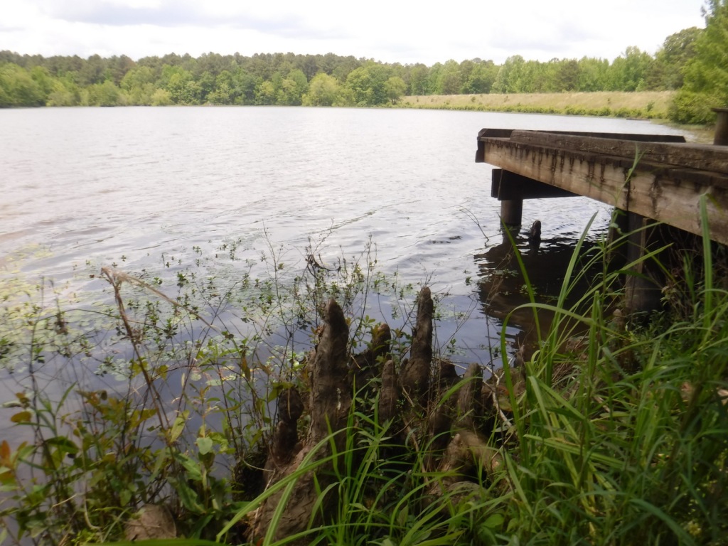
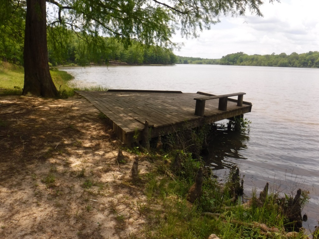
Best Trail
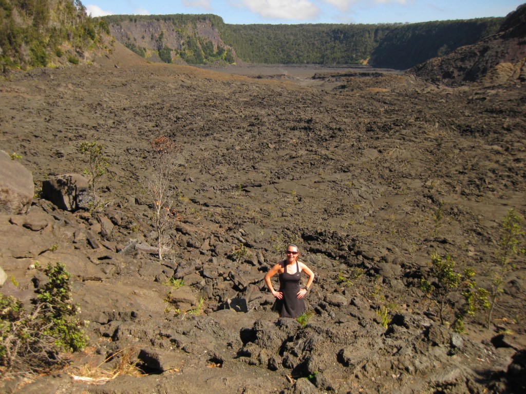
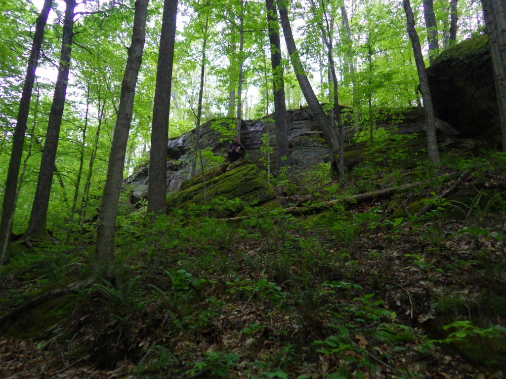
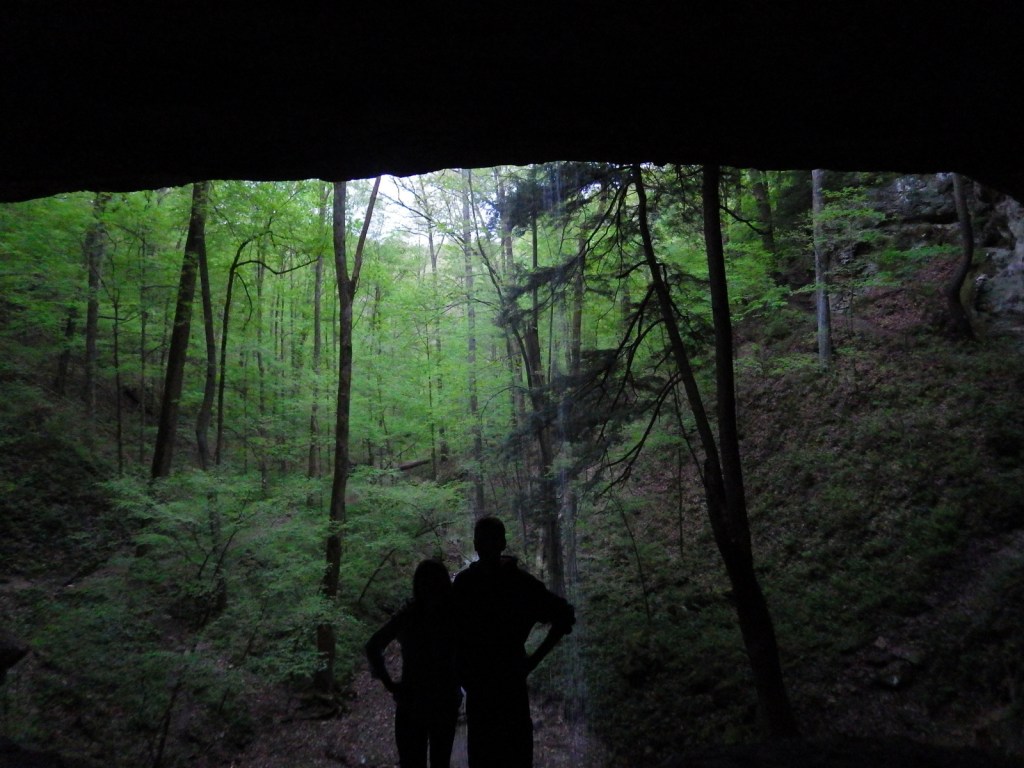
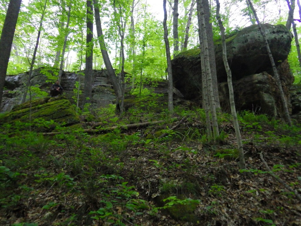
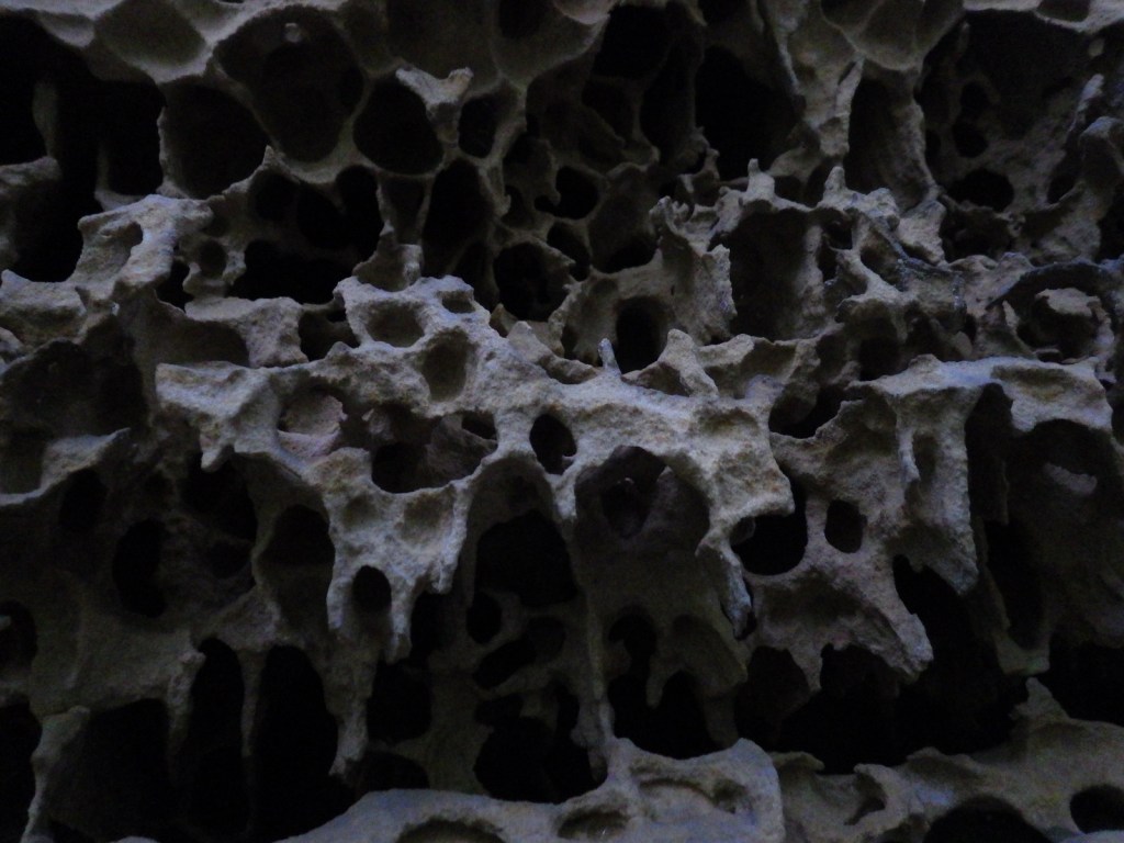
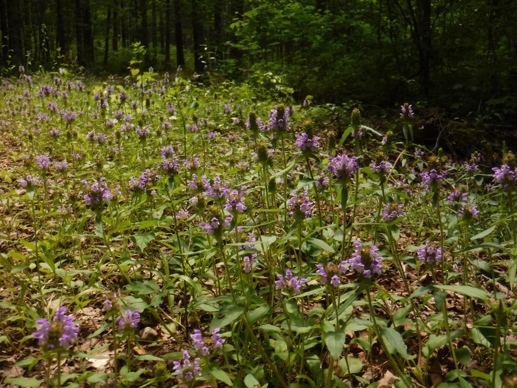
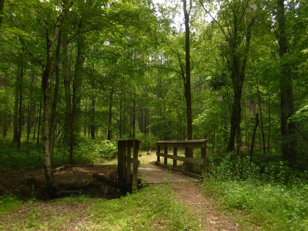
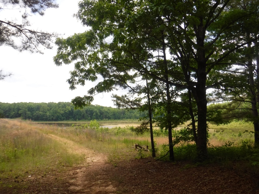
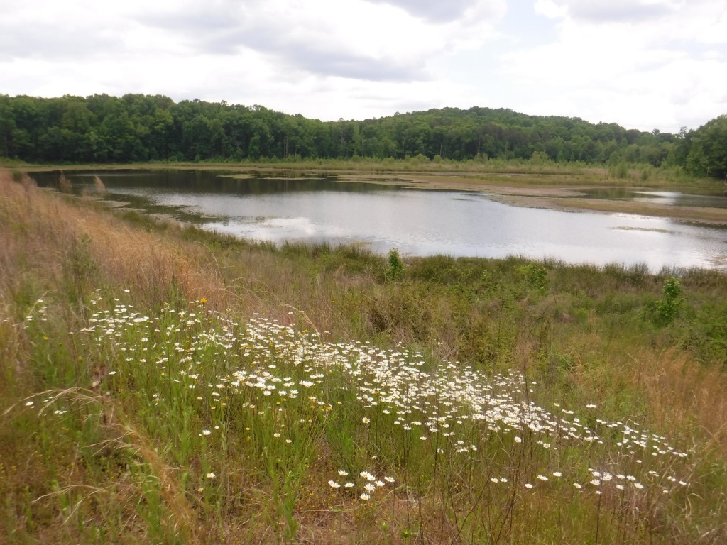
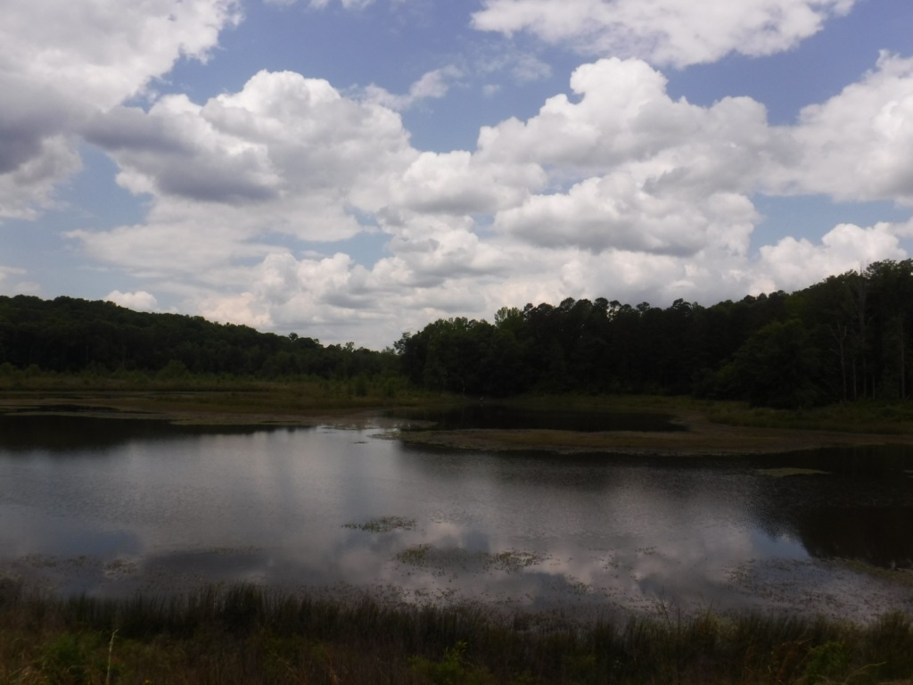
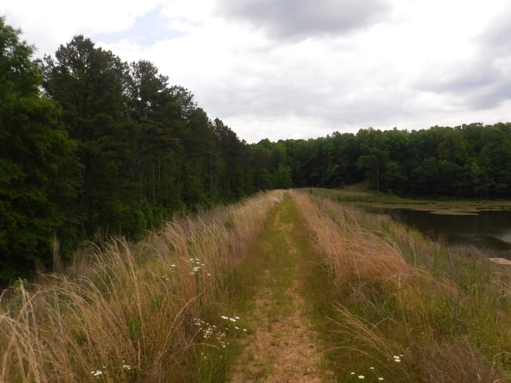
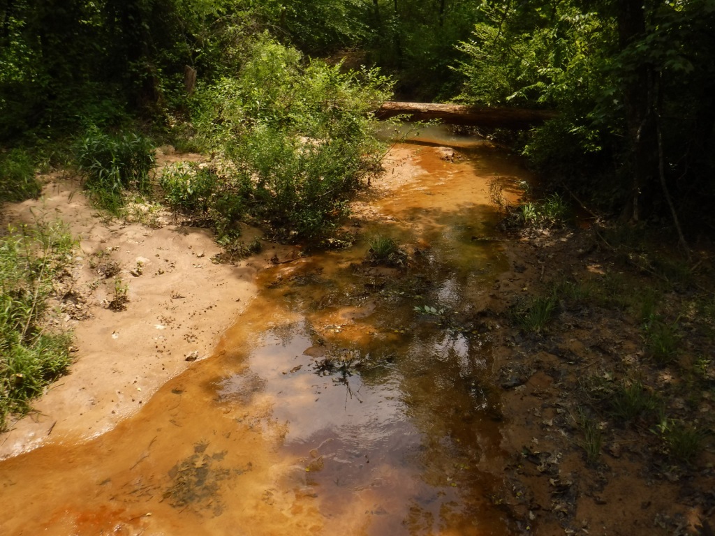
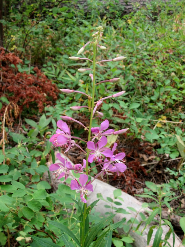
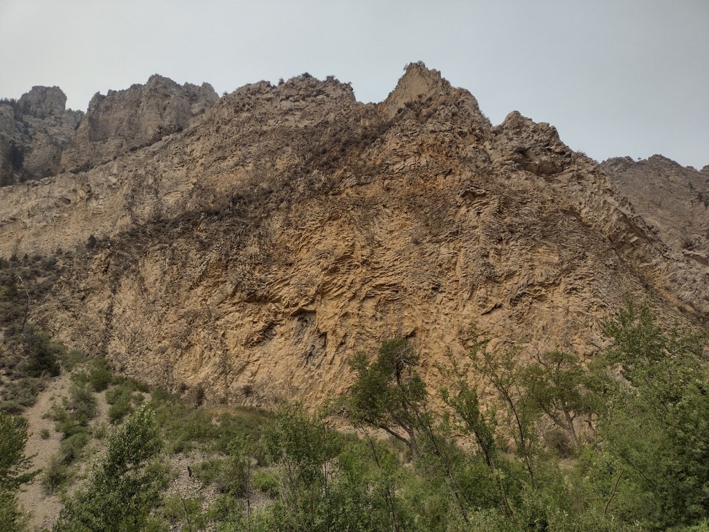
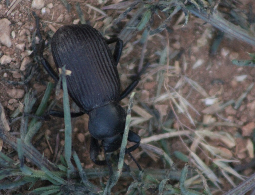
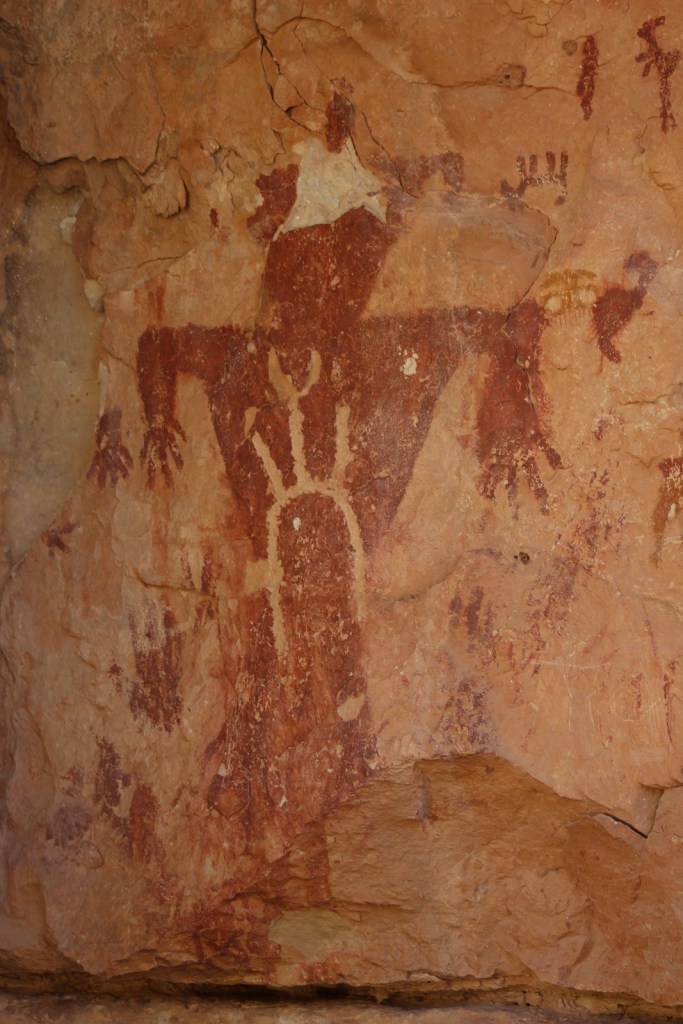
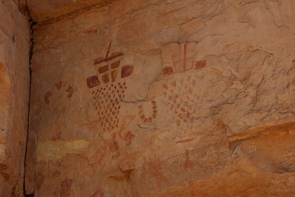
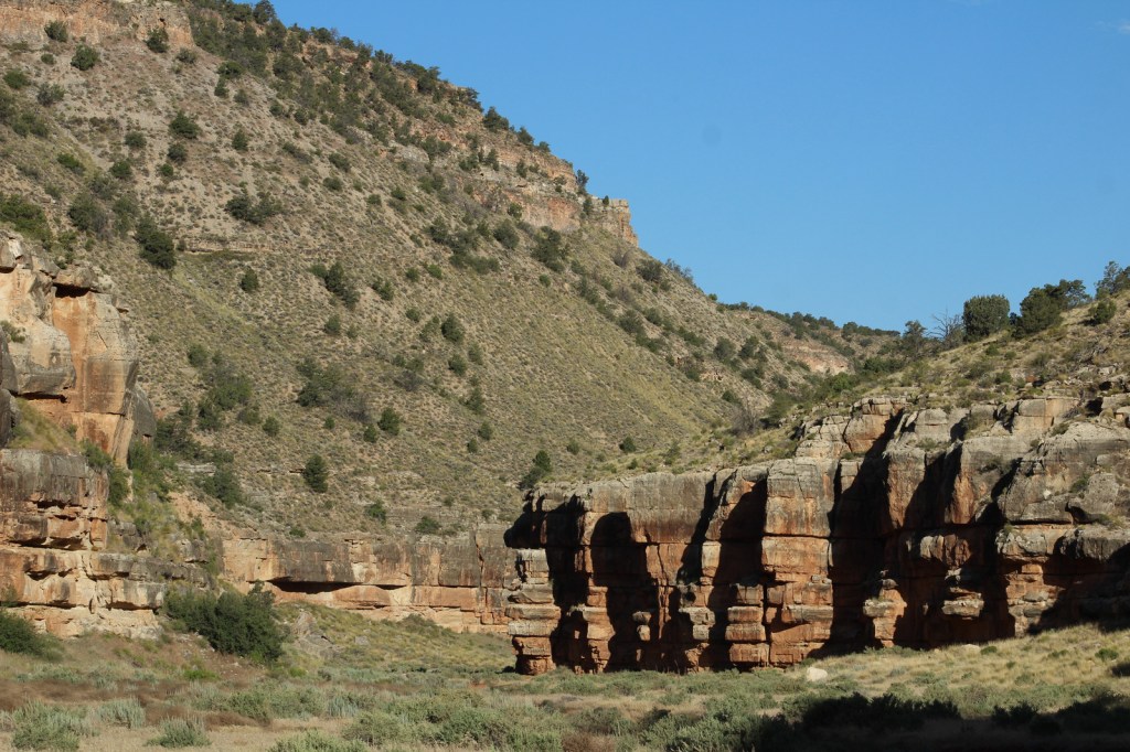
Snake Gulch-Kanab Creek Trail #59 starts at the end of unpaved Forest Road 642 (about five miles from the end of pavement on Forest Highway 22). It soon passes an old homestead and turns left to enter the canyon, part of the extensive Kanab Creek Wilderness (and within the National Monument boundary). The first pictographs can be seen about 2.5 miles in and from then on consistently on the north side of the canyon. The images are primarily done in red paint from the Basketmaker People who resided in this region from 300 BCE to AD 800. We hiked in seven miles then turned around as it started to get really hot in late June, but the trail through the canyon continues 21 miles to where it connects with Ranger Trail #41. Our favorite pictographs were located about four miles in, which would make a good turnaround point for a day hike.
Instagram-worthy Photo
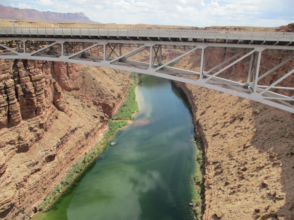
Stop at the historic Navajo Bridge that crosses the Colorado River at Marble Canyon where four public lands meet: Grand Canyon National Park, Glen Canyon National Recreation Area, Vermilion Cliffs National Monument, and Baaj Nwaavjo I’tah Kukveni-Ancestral Footprints of the Grand Canyon National Monument.
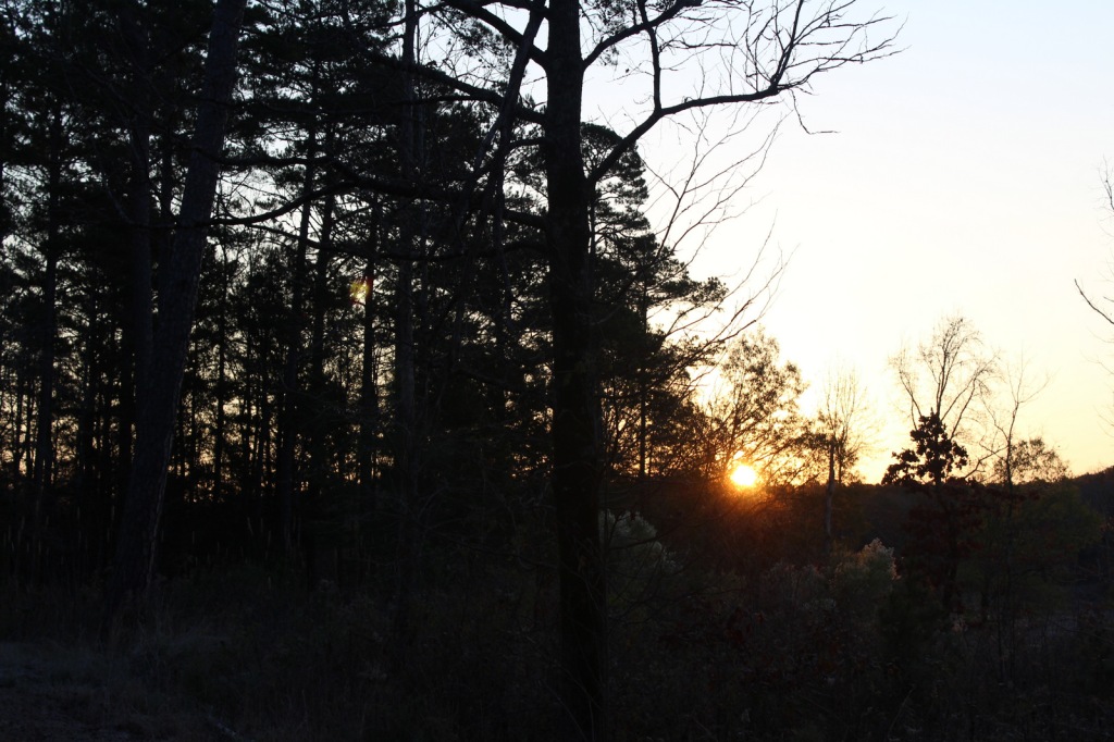
Peak Season
Spring and fall, as summer can be very hot
Hours
Navajo Bridge Visitor Center (National Park Service)
https://www.nps.gov/glca/planyourvisit/visitorcenters.htm
Fees
None
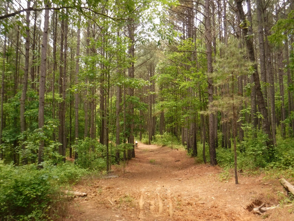
Road Conditions
There are many unpaved and four-wheel-drive-only roads spread across this area, but Highway 64/180 to the South Rim is paved. High clearance is recommended to access Snake Gulch-Kanab Creek Trailhead. Highway 67 and most Forest Roads on the Kaibab Plateau are closed in winter due to heavy snowfall.
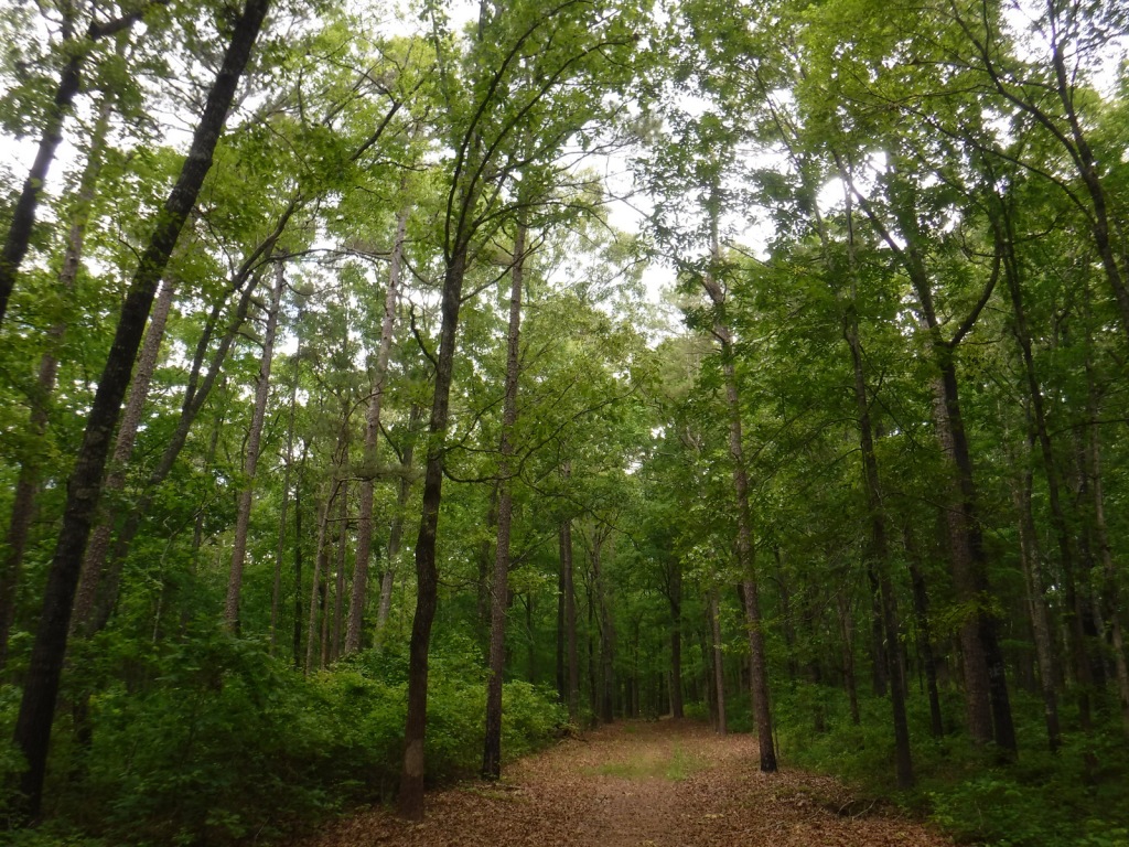
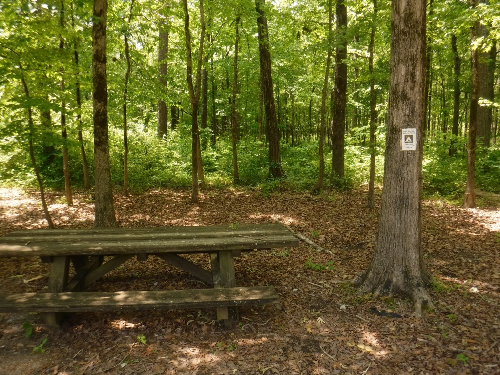
Camping
There are good, dispersed camping options throughout Kaibab National Forest, including along the dirt roads just outside the east entrance of Grand Canyon National Park’s South Rim before entering the Navajo Nation.
Related Sites
Glen Canyon National Recreation Area (Arizona-Utah)
Vermilion Cliffs National Monument (Arizona)
Grand Canyon-Parashant National Monument (Arizona)
Pipe Spring National Monument (Arizona)


Explore More – When were beefalo (bison and cattle mix) introduced to the House Rock Valley area west of Marble Canyon (and now found roaming inside Grand Canyon National Park and Kaibab National Forest)?

Learn more about the other 137 National Monuments in our book Monumental America: Your Guide to All 138 National Monuments