Overview
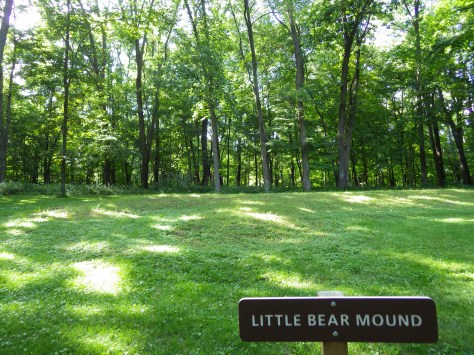
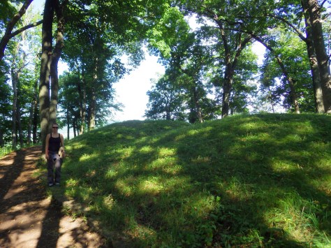
This site in northeastern Iowa contains 206 prehistoric earthen mounds, thirty-one of which are in the form of bears and birds. Some of the rounded mounds have been dated back 2,500 years, but the images of animals (called effigies) began only about 1,400 years ago. In addition to blades and beads inside the mounds, there is often evidence of fires burned in the effigy’s head, heart, or flank, perhaps as part of a burial ceremony.

Highlights
Marching Bear Mound Group, Little Bear Mound Group, Mississippi River overlooks
Must-Do Activity
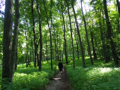
After perusing the museum inside the visitor center, take the steep trail that leads past Little Bear Mound Group to multiple overlooks from 300-foot tall bluffs above the Mississippi River.
Best Trail
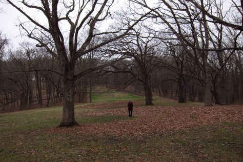
Located a short drive from the visitor center, a trail in the South Unit climbs 2 miles one-way to the impressive Marching Bears Mound Group, the densest collection of effigies in the park.
Instagram-worthy Photo
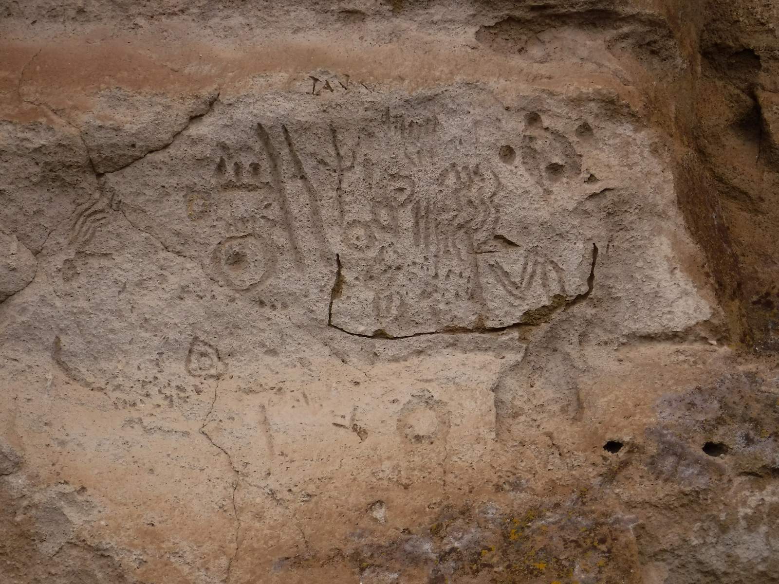
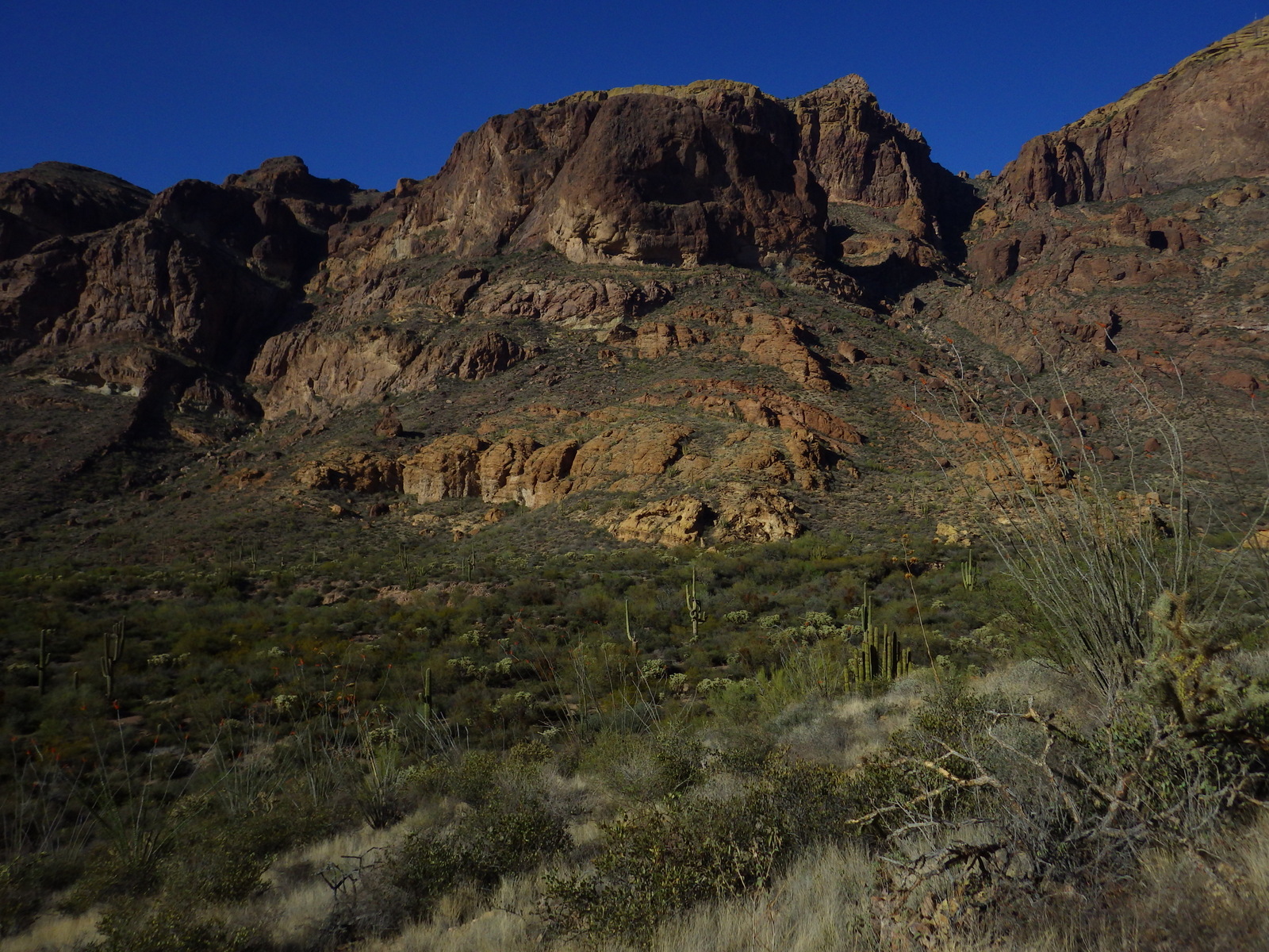
It is very difficult to photograph the effigy shapes, so the best shots are found at overlooks of the Mississippi River.

Peak Season
Summer, but on our second visit during April we found the animal shapes were easier to discern.
Hours
https://www.nps.gov/efmo/planyourvisit/basicinfo.htm
Fees
None
Road Conditions
All paved except the parking area for the South Unit which may not be suitable for large RVs.
Camping
No campground in the monument, but nearby Pikes Peak State Park has RV hookups and Yellow River State Forest offers more primitive sites.


Explore More – What is the wingspan of the largest effigy bird?