Overview
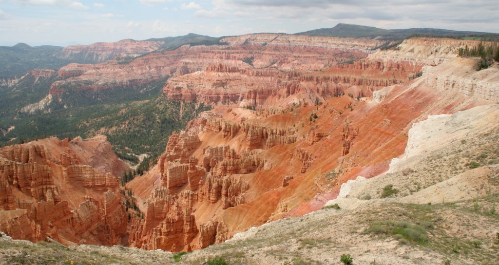
Cedar Breaks National Monument is a red rock badlands full of hoodoos situated at the edge of the Markagunt Plateau and only open during the summer due to its elevation above 10,000 feet. Its colorful limestone amphitheater is like a miniature Bryce Canyon National Park without all the interior trails.

Highlights
Chessman Ridge Overlook, Point Supreme, Ramparts Trail, Spectra Point
Must-Do Activity
The National Park Service visitor center is open late May through October. From there the short trail to Point Supreme and the longer Ramparts Trail lead to stunning overlooks of the amphitheater. Also stop at Sunset View, Chessman Ridge Overlook, and North View on Cedar Breaks Scenic Drive. In the surrounding Dixie National Forest, there is free parking at the Rattlesnake Trail that offers two unique overlooks within the first mile before it drops steeply into the forested canyon.
Best Trail
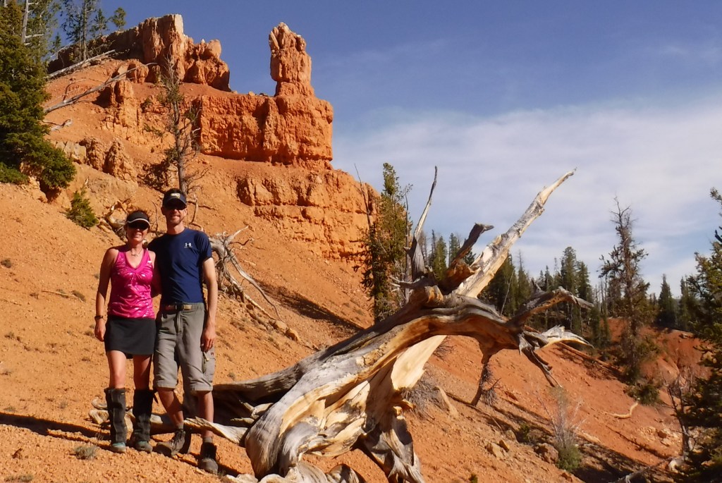
At 10,000 feet in elevation this is no place to try anything too strenuous. Walk the flat one-mile Ramparts Trail to Spectra Point and stop at the many great overlooks along the way while enjoying the riotous summer wildflowers and gnarly bristlecone pine trees (some believed to be more than 1,600 years old).
Instagram-worthy Photo
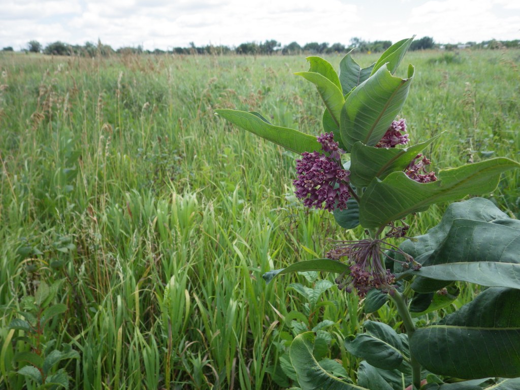
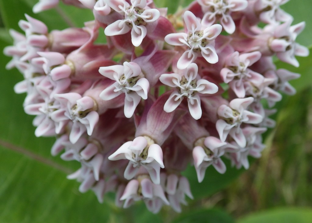
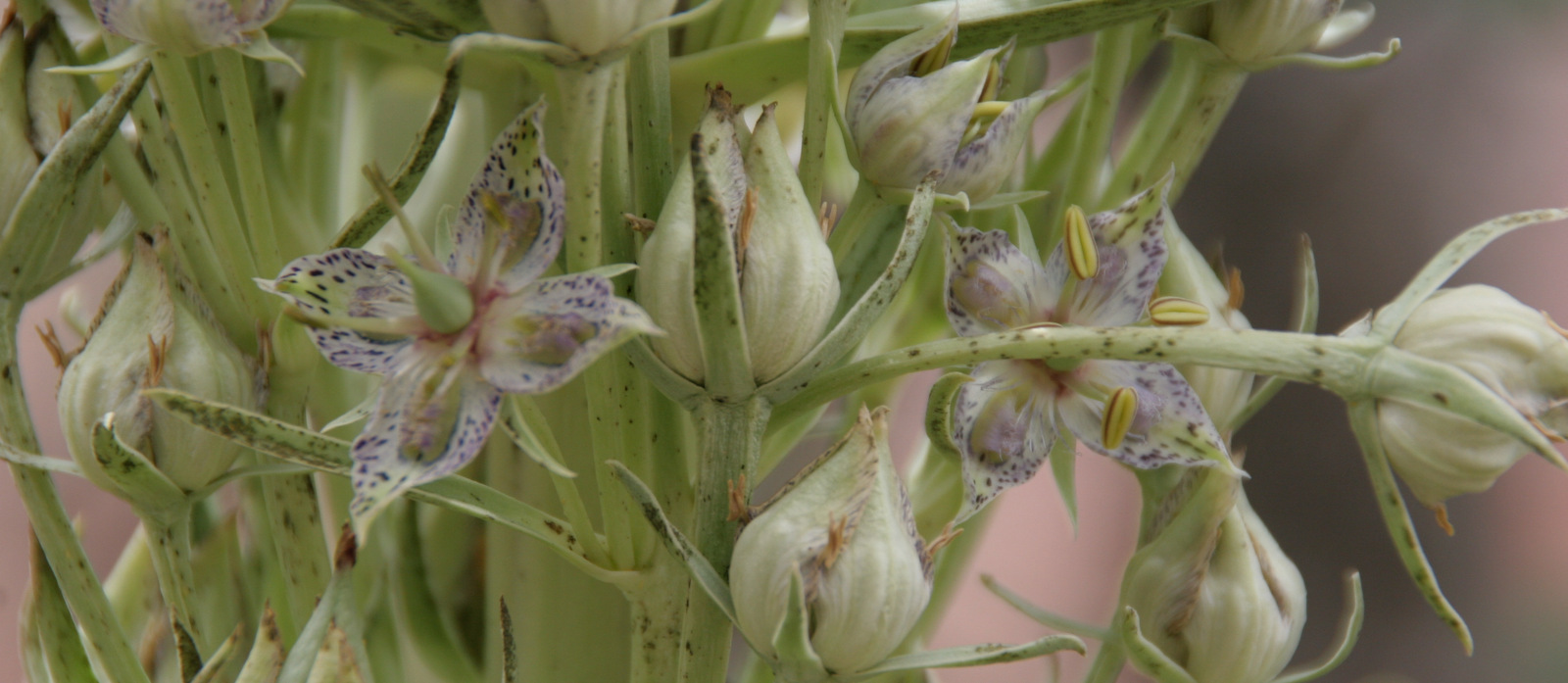
On our visit in July, we saw columbine, blue bells, larkspur, Indian paintbrush, elkweed, lupine, wild rose, fireweed, and cow parsnip; many of the same species that grow along the coast of Alaska.
Peak Season
Summer, though snowmobilers and cross-country skiers can access the park during the winter.
Hours
https://www.nps.gov/cebr/planyourvisit/hours.htm
Fees
$25 per vehicle or America The Beautiful pass
Road Conditions
The paved Cedar Breaks Scenic Drive remains open until snow closes it usually by November.
Camping
The park contains Point Supreme Campground with 30 spaces and running water from June through September. The surrounding Dixie National Forest also offers campgrounds and free dispersed camping.
Related Sites
Bryce Canyon National Park (Utah)
Dixie National Forest (Utah)
Great Basin National Park (Nevada)
Nearest National Park


Explore More – What is the name of the officially designated wilderness that Rattlesnake Trail enters outside the monument’s boundaries?