Tag Archives: National Historical Park

Minute Man National Historical Park

Overview

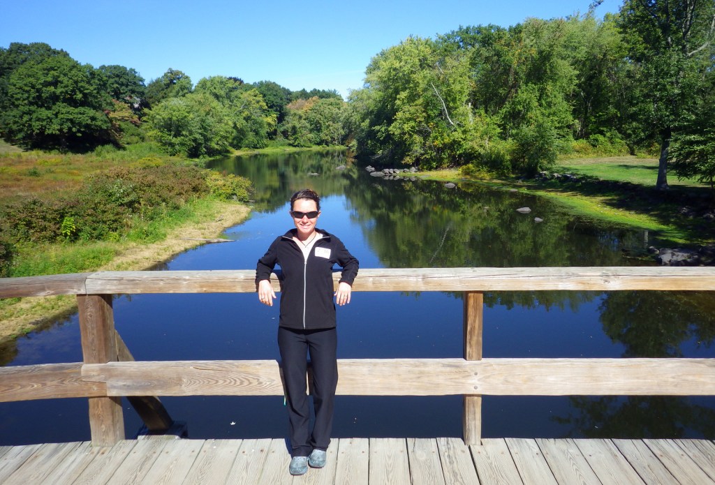
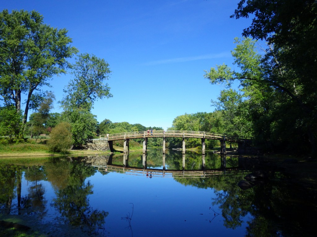
The events that occurred at Lexington and Concord, Massachusetts on April 19, 1775 were immortalized by Ralph Waldo Emerson as “the shot heard round the world.”  First of all, a “Minute Man” was a colonial militiaman who was always ready to fight at a minute’s notice.  Secondly, when the colonial militia fired upon British troops at North Bridge, it was considered an act of treason against the Crown and truly started the Revolutionary War at a time when the majority of colonists did not want independence. 

Highlights

Films, Hartwell Tavern, North Bridge, the Wayside, Sleepy Hollow Cemetery

Must-Do Activity

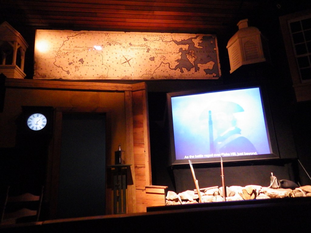
If your memory on what exactly happened here is a bit foggy, start with the multimedia presentation at either of two National Park Service (NPS) visitor centers, located in the suburbs west of Boston.  At Lexington, you will learn the true story of how Paul Revere’s ride ended early when he was captured by British soldiers and that he did not mention redcoats, instead yelling “the Regulars are coming out!”  At Concord, you will learn about “the shot heard round the world.” 

Best Trail

Battle Road Trail stretches 5 miles between Fiske Hill in Lexington to Meriam’s Corner in Concord, and is open to bicycles.  It passes many historic sites, including Hartwell Tavern.

Instagram-worthy Photo

We recommend a walk up Author’s Ridge in Sleepy Hollow Cemetery.  The graves of famous local writers, including Ralph Waldo Emerson, Henry David Thoreau, Louisa May Alcott, and Nathaniel Hawthorne, are located here.

Peak Season

Summer

Hours

Hours for the many historic buildings vary and most are not open every day of the week.

https://www.nps.gov/mima/planyourvisit/hours.htm

Fees

None, except at some historic buildings (like the Wayside) which require guided tours.

Road Conditions

All roads paved

Camping

Harold Parker State Forest (28 miles northeast) has campsites with running water. There is no camping at Walden Pond State Reservation.
Explore More – Which famous authors once resided at the Wayside in Concord, Massachusetts?
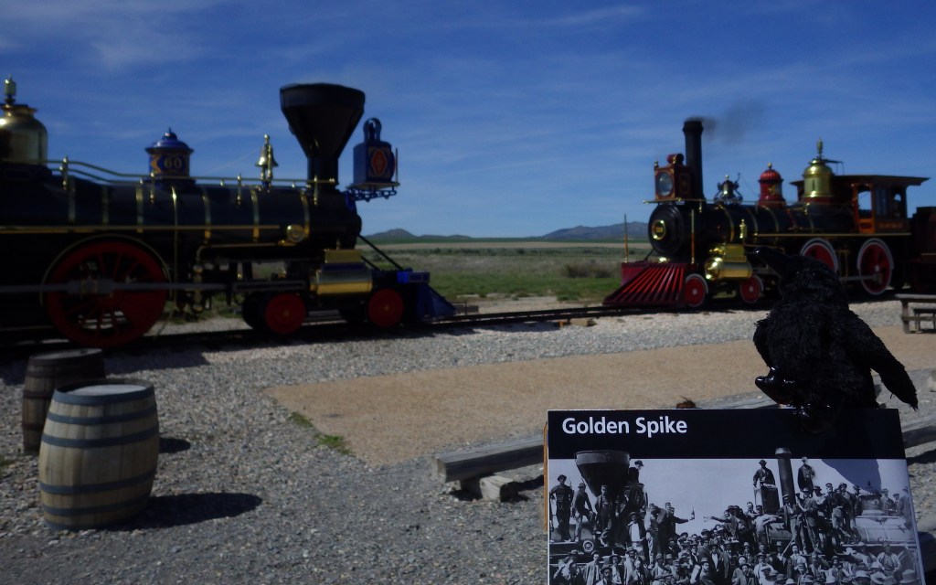
Golden Spike National Historical Park

Overview

On May 10, 1869, there were actually four commemorative spikes (made of both silver and gold) to celebrate completing the monumental task to lay 1,776 miles of track connecting Sacramento and Omaha, linking west to east.  In front of a crowd of thousands that gathered at Promontory Point in Utah, Leland Stanford, President of the Central Pacific Railroad, missed when attempting to drive the final spike.

Highlights

Replica train engines, museum, film, Chinese Arch

Must-Do Activity

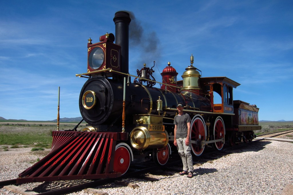
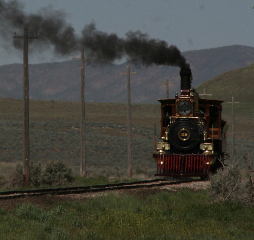
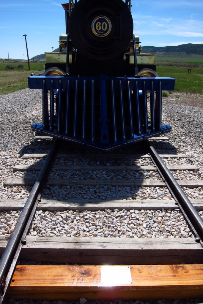
Thanks to the National Park Service, each day in the summer you can see working replicas of two steam engines, burning wood and coal, come together for a daily photo op.  It took some effort just to figure out where the junction occurred, since it was moved by 1870, in 1904 a shorter causeway was built across the Great Salt Lake, and during World War II the track here was ripped up. 

Best Trail

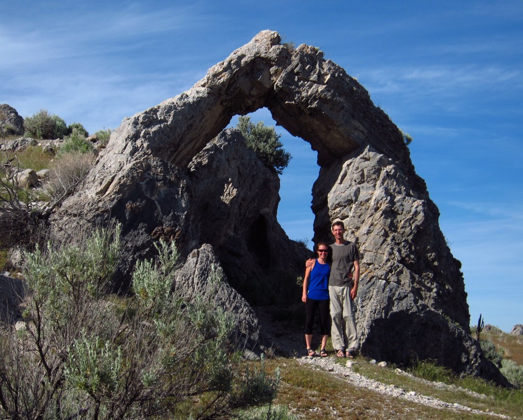
Big Fill Loop Trail (1.5 miles) leads to a ravine filled by hand to create a gentle grade for the trains.  Two unpaved auto tours (2 and 14 miles) follow the rail route, with the highlight stop being the natural limestone Chinese Arch.

Instagram-worthy Photo

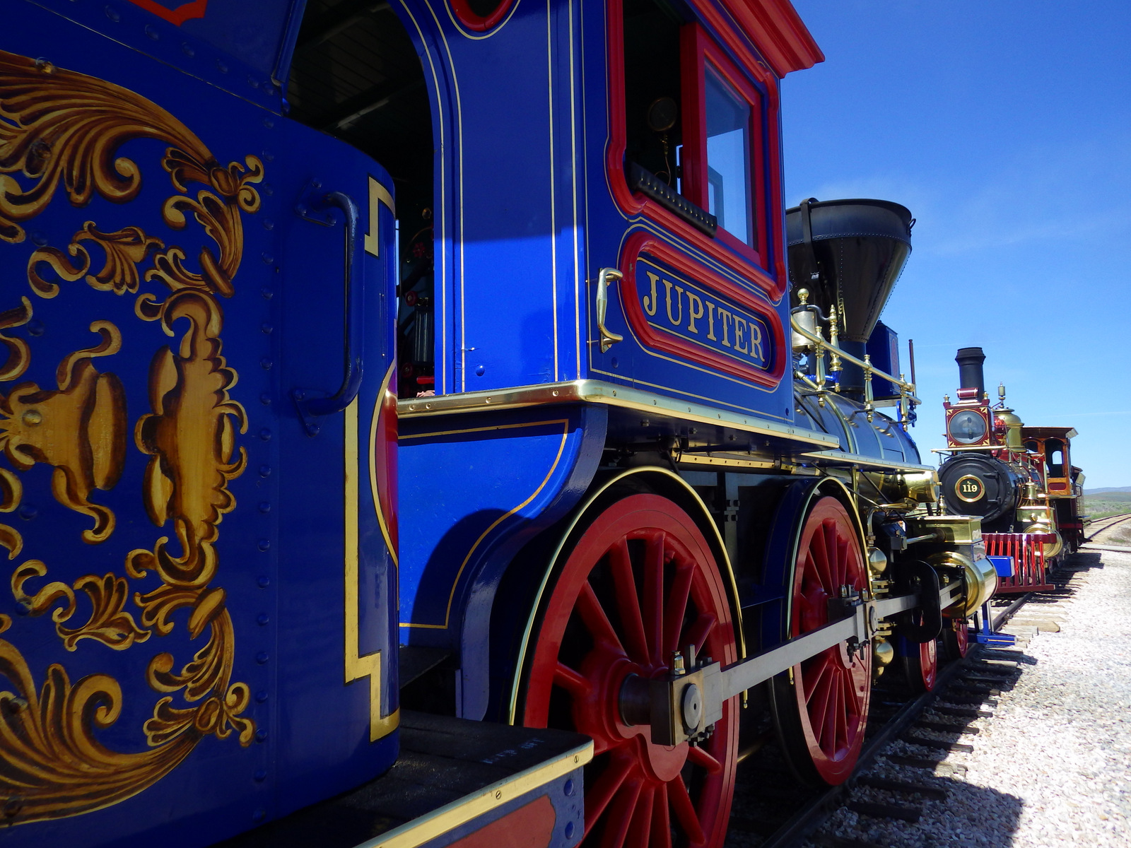
The Central Pacific Railroad’s locomotive Jupiter and the Union Pacific’s No. 119 are both beautiful reproductions, but they only run between May and mid-October.  Please note that you are not allowed to mush pennies on the train tracks but they do have a 51-cent mushed penny machine inside the visitor center.

Peak Season

Summer, but also May 10 annually (especially in 2019, the 150th anniversary)

Hours

https://www.nps.gov/gosp/planyourvisit/basicinfo.htm

Fees

$20 per vehicle or free with America The Beautiful pass

Road Conditions

The main road to the visitor center is paved, but the two auto tour routes follow graded dirt roads.

Camping

None within the park, but Hyrum Lake State Park, Willard Bay State Park, and Box Elder Campground (U.S. Forest Service) are located near Brigham City, Utah.

Explore More – How many miles of parallel grades did the two greedy companies (that got paid by the mile) lay out before Congress stepped in to establish Promontory Summit as the official meeting place?

We are a participant in the Amazon Services LLC Associates Program, an affiliate advertising program designed to provide a means for us to earn fees by linking to Amazon.com and affiliated sites.

San Antonio Missions National Historical Park

Overview

This park protects four historic Spanish missions around San Antonio, Texas, but does not include the famous Alamo (managed by the Daughters of the Republic of Texas).  Construction began in 1718 and by 1824 secularization was complete and land was distributed among the converted natives.  In 2015, these five missions along the San Antonio River were designated a UNESCO World Heritage Site.

Highlights

1720 Mission San José, 1755 Mission Concepción, 1731 Mission Espada, 1731 Mission San Juan Capistrano

Must-Do Activity

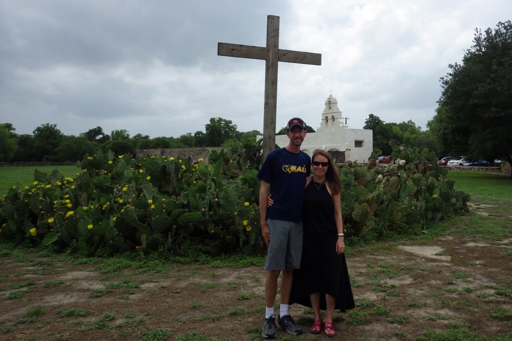
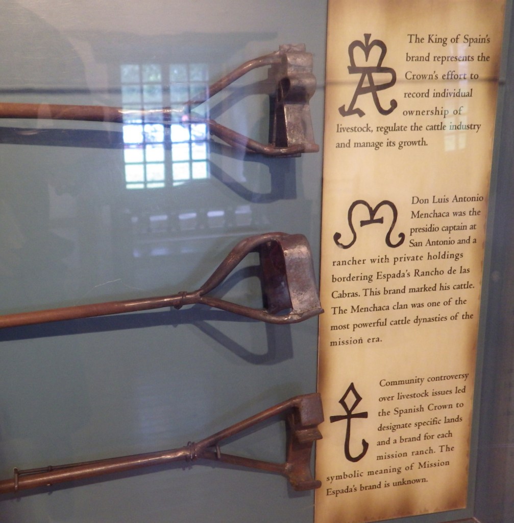
At the farthest south of the four missions (San Francisco de la Espada) there is also an interesting acequia system that includes an aqueduct, ditches, and a dam built in 1745, all of which are still used for irrigation purposes.  Mission San Juan Capistrano is covered in white stucco the way they all would have been historically.  Mission Concepción is the farthest north of the four missions and we thought it had the prettiest interior.

Best Trail

San Antonio’s famous River Walk Trail continues from the downtown area all the way south to Mission Espada, not to be confused with the signed Mission Trail driving route.

Instagram-worthy Photo

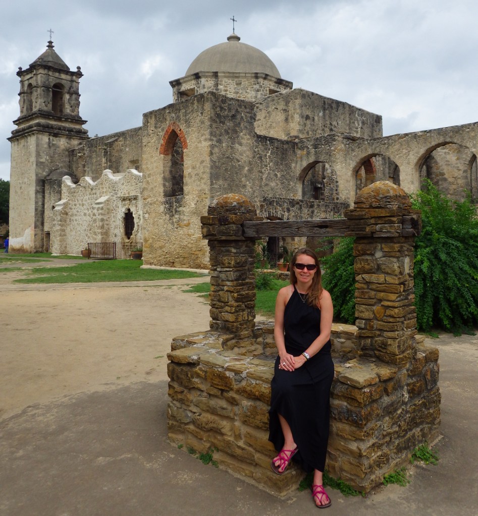
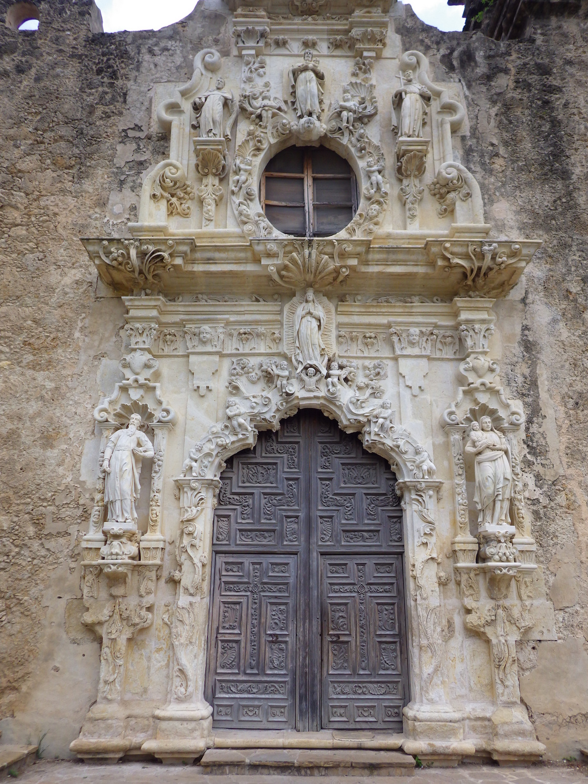
The beautifully preserved San José y San Miguel de Aguayo Mission dates back to 1720.  Today this large village complex is a popular location for wedding and graduation photos. 

Peak Season

Spring

Hours

https://www.nps.gov/saan/planyourvisit/hours.htm

Fees

None

Road Conditions

All roads paved with designated NPS parking lots.

Camping

None

Explore More – What is the historic mission name for the Alamo?

We are a participant in the Amazon Services LLC Associates Program, an affiliate advertising program designed to provide a means for us to earn fees by linking to Amazon.com and affiliated sites.

Tumacácori National Historical Park

Overview

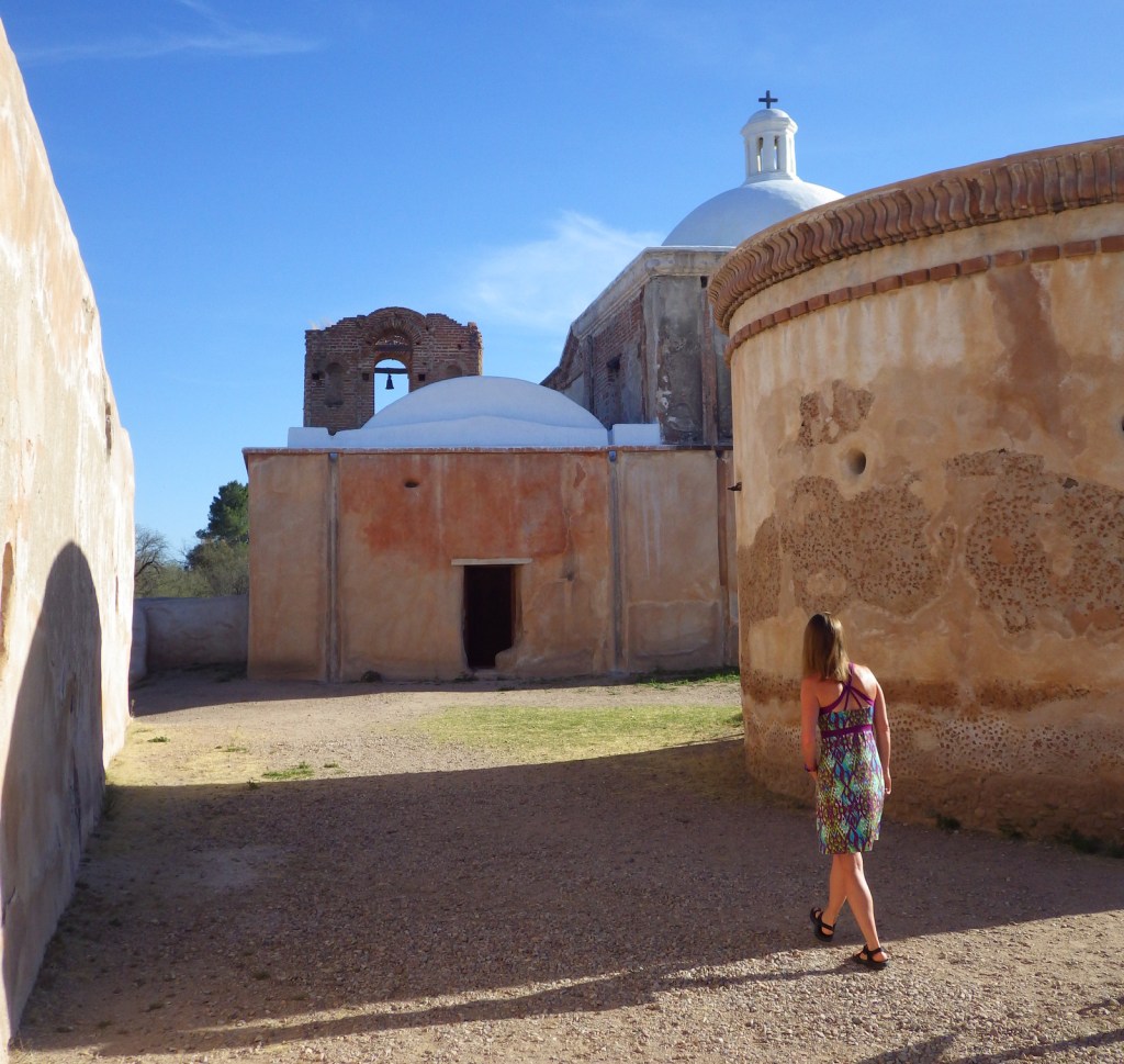
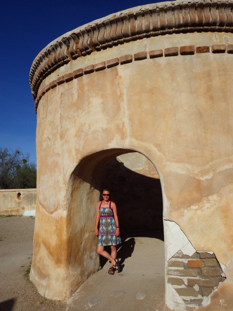
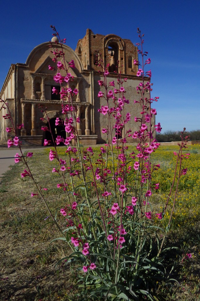
South of Tucson in Tubac, Arizona, San Cayetano de Tumacácori is a Spanish mission founded in 1691 by Padre Kino and abandoned in 1848.  It became a National Monument in 1908 when it was restored to its ruined state based on photographs dating from 1868.  Two additional mission ruins were added when it became a National Historical Park in 1990, but they are not open to the public except on special ranger-led tours January through March.

Highlights

Historic mission, historic museum (built in 1937)

Must-Do Activity

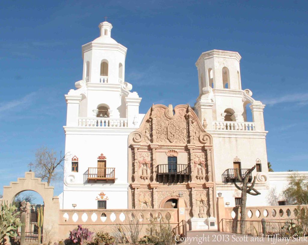
Jesuits, like the famous Padre Eusebio Kino, established more than 20 missions in this part of the Sonoran Desert in the late-1600s.  Some of the Pimas they were “serving” attacked in 1751, leading to the move of Tumacácori to its current location and the establishment of Tubac Presidio (now a State Park).   Mexico gained its independence from Spain in 1821 and the final phase of construction on the mission began two years later.  In 1853, the Gadsden Purchase brought this region into the United States of America.  When you visit the ruins of Tumacácori, consider a trip north to beautiful San Xavier del Bac, which is still an active church.

Best Trail

A 4-mile portion of the Juan Bautista de Anza National Historic Trail connects Tumacácori with Tubac Presidio State Historic Park, which offers a museum and an underground archaeological display.

Instagram-worthy Photo

At the end of the day in the winter months, trees surrounding the mission cast interesting shadows on its stucco walls.

Peak Season

Winter

Hours

https://www.nps.gov/tuma/planyourvisit/hours.htm

Fees

$7 per person or America the Beautiful pass

Road Conditions

All roads paved

Camping

Patagonia Lake State Park has more than 200 campsites northeast of Nogales, Arizona.

Explore More – Why was the Jesuit order expelled in 1767 and their missions assigned to Franciscan friars?

Sitka National Historical Park

Overview

Sitka National Historical Park offers a good introduction to the Russian and native influences on this region, as well as a forested trail past beautifully carved totem poles.  Created in 1910, it was the first National Park Service (NPS) site in Alaska, nearly 50 years before statehood.

Highlights

1843 Russian Bishop’s House, Russian Orthodox cathedral, totem poles

Must-Do Activity

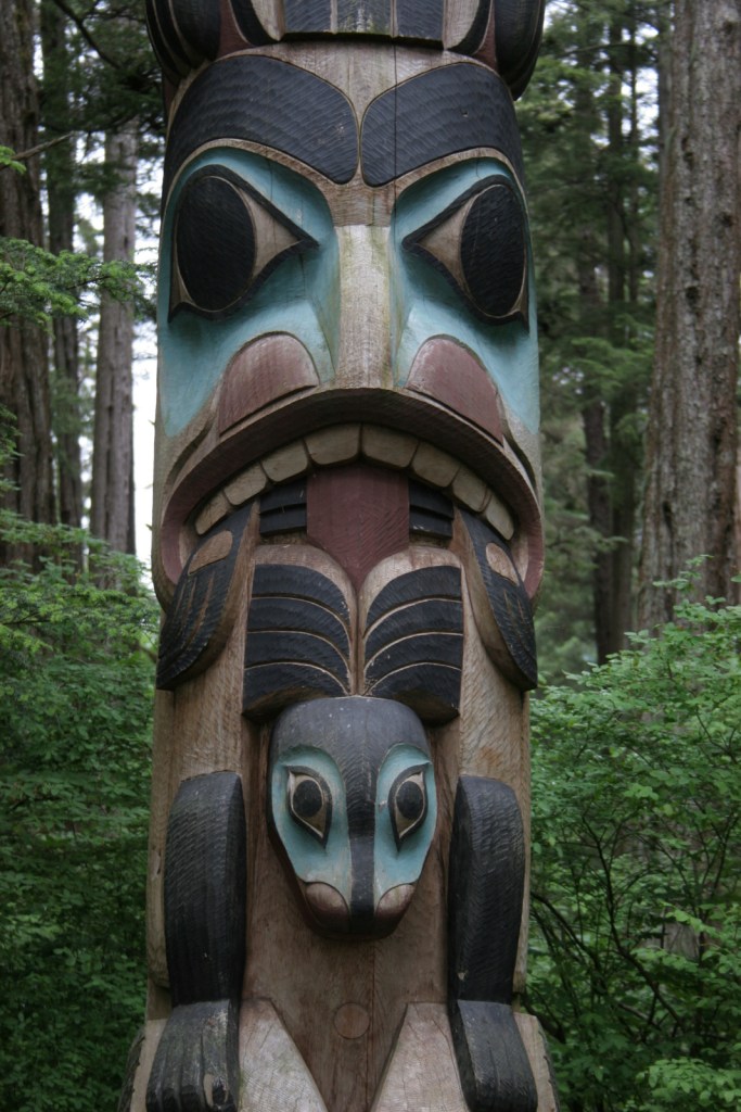
Two miles of trails wind through the spruce forest passing more than a dozen totem poles and the site of Kiks.ádi Fort where the 1804 battle took place between Russian fur traders and the native Tlingit community.  To further experience the Tlingit culture, attend a traditional dance at Shee’tka Kwaan Naa Kahidi Community House. 

Best Trail

The adventurous can summit 3,354 foot Mount Verstovia for unsurpassed views of the harbor and the mountainous heart of Baranof Island.  This steep route takes all day, starting with numerous switchbacks before the trail disappears and scrambling over rocks to the top.  Also scenic, Indian River Trail is a flatter alternative.

Instagram-worthy Photo

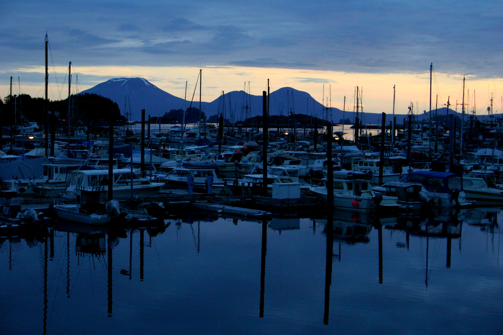
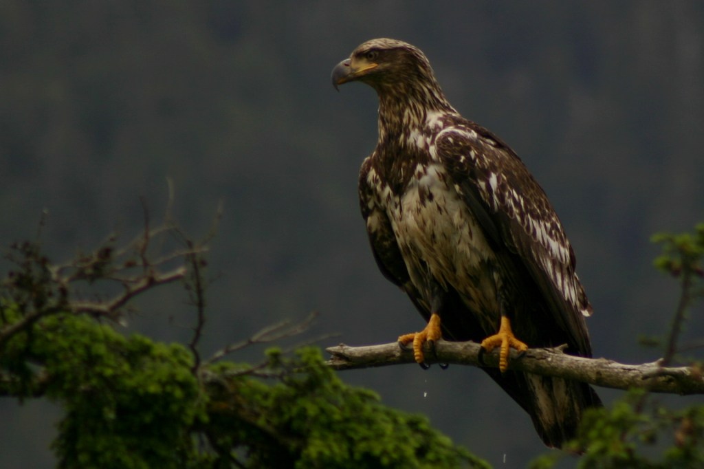
Jagged peaks and tiny forested islands make Sitka the most beautiful spot in Southeast Alaska.  Bald eagles abound in trees around the town’s quiet boat docks, while the volcanic cone of Mount Edgecumbe sits zen-like off to the west. 

Peak Season

Summer

Hours

https://www.nps.gov/sitk/planyourvisit/hours.htm

Fees

None

Road Conditions

There are no roads to Sitka, so you have to take an airplane, cruise ship, or ferry.  The main road on Baranof Island is paved and it is less than a mile walk to access the NPS visitor center from downtown.

Camping

Campsites are available at Blue Lake down a dirt road east of town in Tongass National Forest or at Old Sitka State Historic Park near the ferry terminal.

Explore More – When did the official transfer of Alaska from Russia to the U.S.A. take place on Castle Hill in Sitka (then known as New Archangel)?