Tag Archives: National Historical Park

Big Hole National Battlefield

Overview

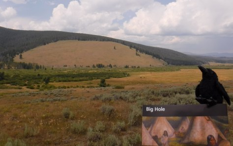
Big Hole National Battlefield is located in southwestern Montana, part of the larger Nez Perce National Historical Park, which spans four states.  Back in 1877, following violent clashes with white settlers, five bands of the Nez Perce tribe left the Wallowa Valley of Oregon and were followed east by the U.S. Army.  After the remaining 800 Nez Perce went over the mountains bypassing an Army blockade at Lolo Pass, they stopped to rest in the Big Hole Valley.  A surprise attack by the U.S. Army on the morning of August 9, 1877 led to bloodshed on both sides, with Nez Perce warriors forcing the troops to retreat, capturing a Howitzer cannon, and allowing their women and children to escape towards Yellowstone National Park.

Big Hole

Highlights

Overlook from visitor center, interpretive film, trail to site of Nez Perce Camp

Must-Do Activity

Start at the visitor center for the 26-minute film and an overview of the battlefield.  You are in for a treat if you happen to be around for a presentation by Dr. Bob Brown acting as Major Charles Rawn to describe his historic connection with the site.

Best Trail

The National Park Service visitor center overlooks the battlefield for orientation, and a paved road leads down to a trailhead to access the site of the attack (Nez Perce Camp), and a more strenuous climb to the Siege Area, army trenches, and the Howitzer capture site.  Interpretive booklets are available for only $1.00.

Instagram-worthy Photo

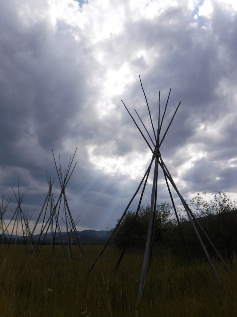
Montana is known for its Big Sky, which can be quite beautiful when pierced by the tale teepee poles set up at the site of the Nez Perce camp.

August 2018 299

Peak Season

Open year round, but winters are long and snowy in this part of Montana, making summer the best time to visit.

Hours

https://www.nps.gov/biho/planyourvisit/hours.htm

Fees

None

Road Conditions

All roads are paved and the Nez Perce Camp Trail is wide and flat enough to allow for wheelchairs.

Camping

None in the park, but campgrounds and dispersed camping can be found in nearby Beaverhead-Deer Lodge National Forest.

August 2018 273
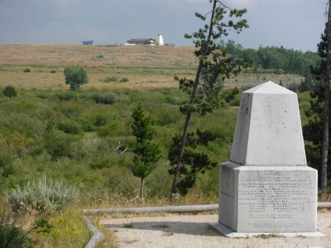
This monument was erected where U.S. Army troops were pinned down by sniper fire and dug trenches that are still visible today.
August 2018 282
The North Fork of the Big Hole River runs through the battlefield.
August 2018 263
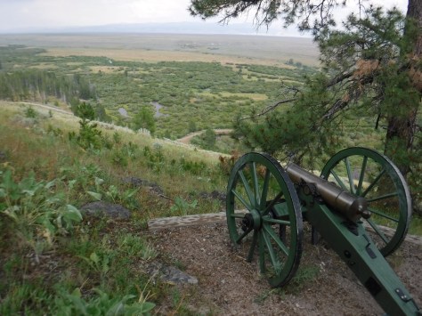
The Howitzer capture site is at the end of a steep hike with great views.

August 2018 285

Explore More – How long was the journey between Wallowa Lake, Oregon and Bear Paw Battlefield in northeastern Montana where 432 Nez Perce were finally captured?

1WonsTiny

WONDON WAS HERE

Lowell National Historical Park 

Overview

Built in the 1820s, Lowell, Massachusetts took the idea of a mill town and scaled it up to a factory city.  Utilizing the power of the Concord and Merrimack Rivers, its textile mills grew until its population reached 33,000 by 1850.  The workers were primarily immigrants and predominantly women, many of whom were single and lived in boarding houses like the one you can tour today in Lowell National Historical Park.

Lowell.JPG

Highlights

Mill Girls and Immigrants Exhibit, Boot Cotton Mills Museum, canal boat tours, Lower Locks, Jack Kerouac Commemorative Park

Must-Do Activity

It is worth the entry fee to go inside Boott Cotton Mills Museum to hear, feel, and see early-1900s machines still running and learn more about the manufacturing process, living conditions, and labor unrest.

Best Trail

Not a traditional trail, but it is a short walk along the historic canals from the NPS Visitor Center to Boott Cotton Mills Museum, the Lower Locks, and the Commemorative Park to author Jack Kerouac.

Instagram-worthy Photo

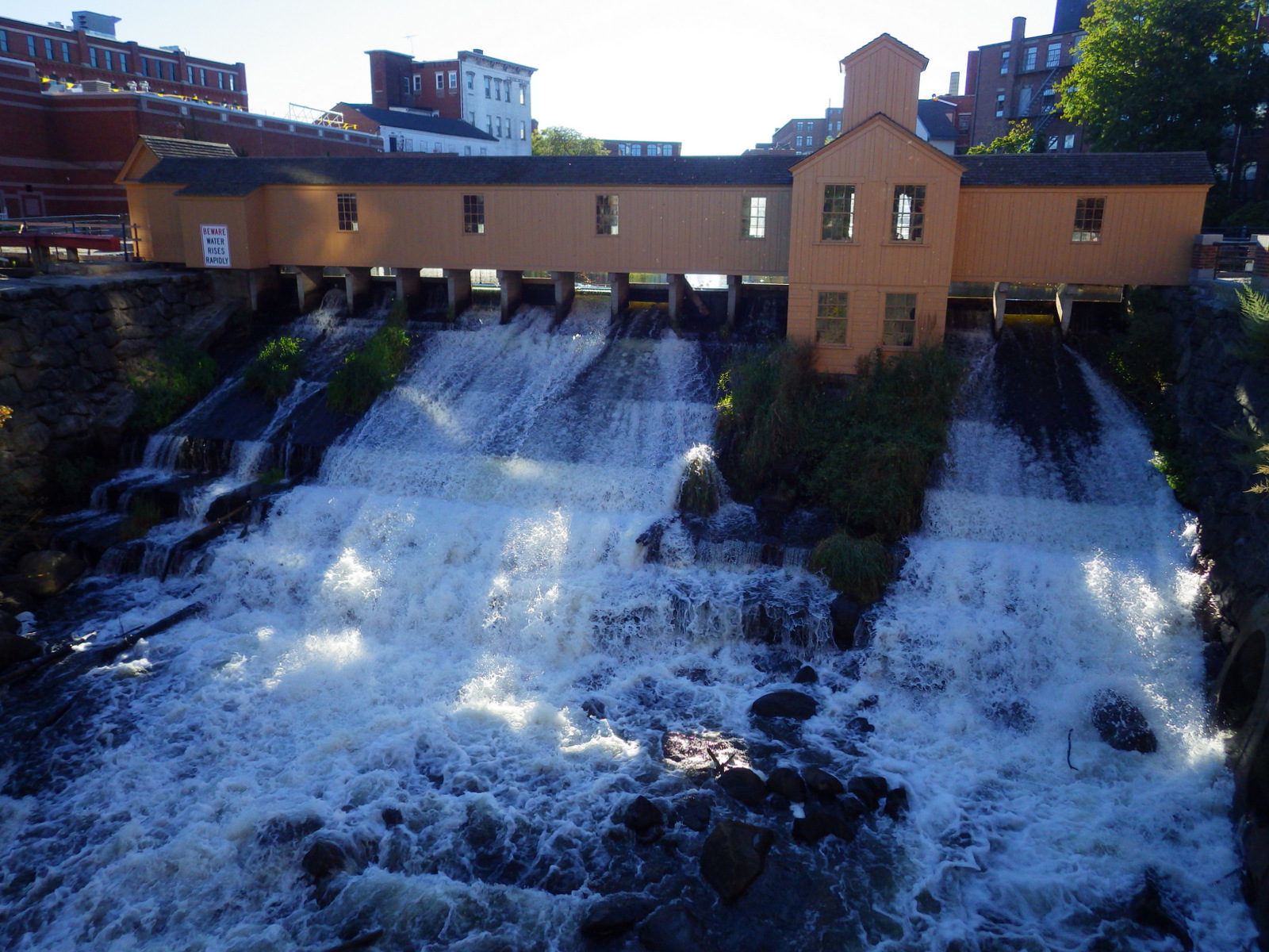
Hand dug canals from the Concord and Merrimack Rivers powered the Lower Locks in downtown Lowell.

A dam on the canal system in Lowell

Peak Season

Summer

Hours

https://www.nps.gov/lowe/planyourvisit/hours.htm

Fees

None for most sites and NPS Visitor Center (free parking there), but Boott Cotton Mills Museum charges $6 per adult for admission (discount with America the Beautiful pass).

Road Conditions

All roads paved

Camping

Harold Parker State Forest has a campground open in summer 13 miles east of Lowell.

imgp1484.jpg

A mill at Lowell

Mill reflections

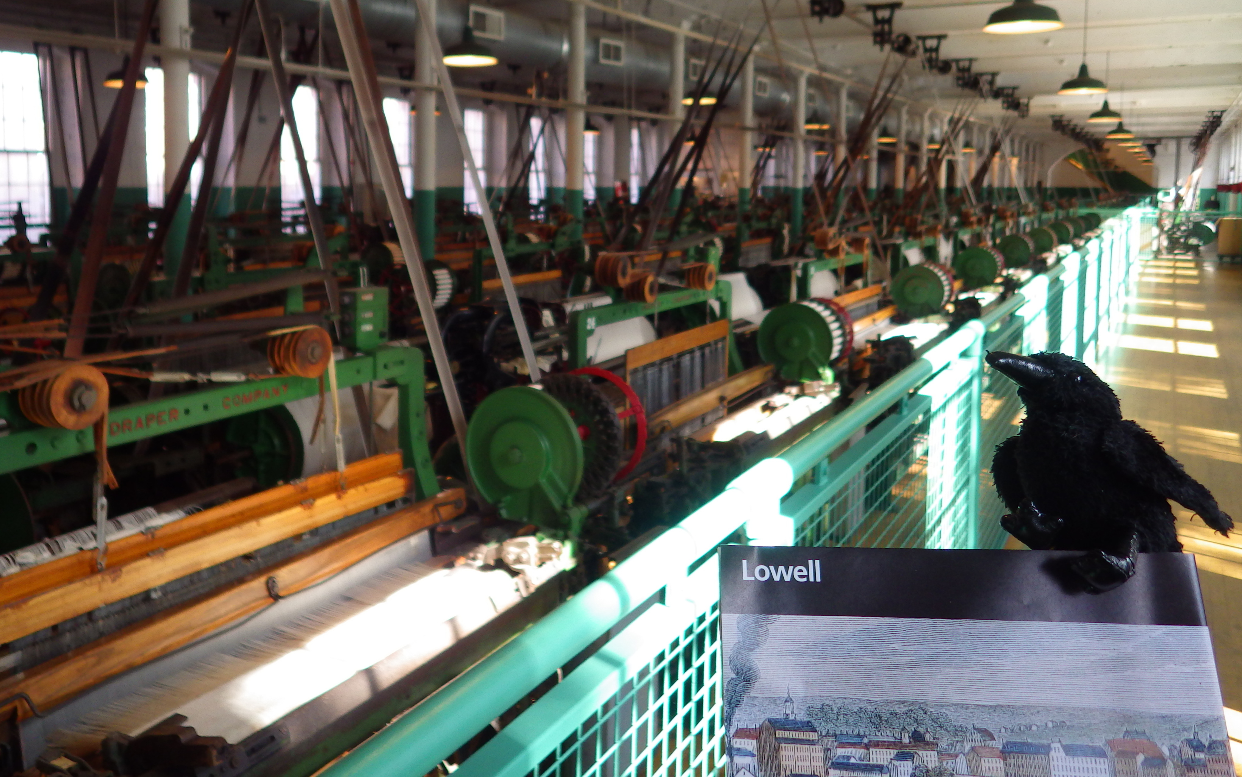
Tiff in the room with all the looms - she was loving it
Feel the power of these loud machines in action inside Boott Cotton Mills Museum.

IMGP1470

The detail on the model was quite extraordinary

Kerowac's typewriter
There are a few artifacts from the life of hometown hero Jack Kerouac whose books inspired the Beat Generation.

Explore More – How did the “kiss of death” slowly kill many textile workers?

1WonsTiny2

WONDON WAS HERE

We are a participant in the Amazon Services LLC Associates Program, an affiliate advertising program designed to provide a means for us to earn fees by linking to Amazon.com and affiliated sites.

Jean Lafitte National Historical Park and Preserve

Overview

Jean Lafitte was a New Orleans “privateer” (a.k.a. pirate) who assisted General Andrew Jackson in the fight with the British after the War of 1812 had officially ended.  In addition to three Acadian Cultural Centers spread throughout southwestern Louisiana and a small visitor center in New Orleans’ French Quarter, the NPS also offers trails and boat tours (fee) through the bayou.

Lafitte

Highlights

Barataria Preserve, Chalmette Battlefield, French Quarter, boat tours

Must-Do Activity

Every American needs to visit the French Quarter at least once in their life, but also make sure you visit the 24,000-acre Barataria Preserve to experience the bayous of Louisiana, whether you hike or take a boat.

Best Trail

South of downtown New Orleans off Highway 45 in the Barataria Preserve, keep your feet dry by hiking the boardwalks on the Bayou Coquille Trail.

Instagram-worthy Photo

Look up when hiking in the bayou to find huge spiders, like this golden silk orb-weaver.

IMGP1546.JPG

Peak Season

Summers are muggy and buggy, but the park’s many visitor centers are closed only two days per year: Christmas and Mardi Gras.

Hours

https://www.nps.gov/jela/planyourvisit/hours.htm

Fees

None

Road Conditions

All roads paved

Camping

None in the park, but in 2016 we camped at Bayou Segnette State Park in the suburbs of New Orleans.

IMGP1506
Learn about the region’s music, food, and culture at the French Quarter visitor center in downtown New Orleans.

IMGP1519
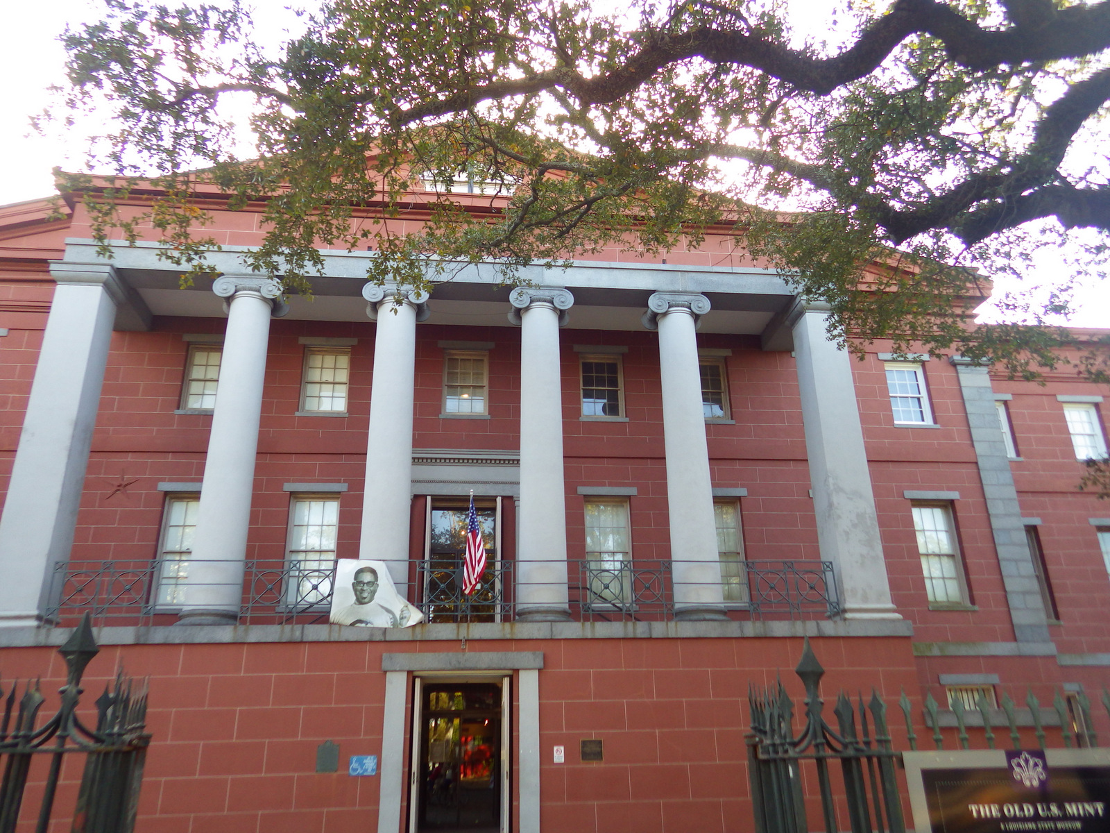
Exhibits in the Old U.S. Mint are free

IMGP1564
Hiking the boardwalks on the Bayou Coquille Trail.

IMGP1562
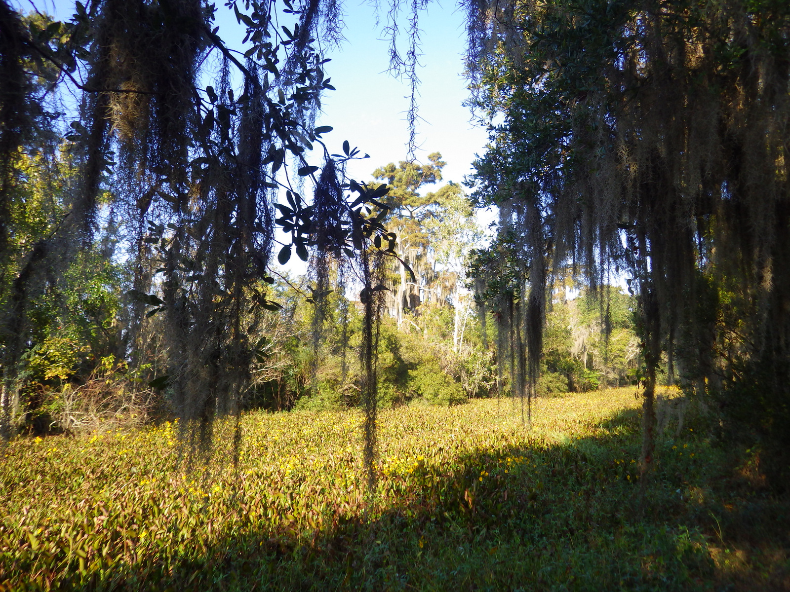
Spanish moss drapes from the trees in the humid climate of the Mississippi River delta.

IMGP1567
The bayou stretches for miles in the undeveloped areas around New Orleans, Louisiana.

Explore More – Which president is mounted horseback on a statue in Jackson Square?

1WonsTiny2

WONDON WAS HERE

Kalaupapa National Historical Park

Overview

Located on the remote northern peninsula of Molokai, in the Hawaiian Islands, this isolated spot was selected by King Kamehameha V in 1865 as a quarantine area for those suffering from Hansen’s disease (also known as leprosy).  It is fairly noncontagious and successful treatments were developed, meaning patients have not been forced to live here since 1949.  There are still no roads to the settlement, so you will have to get the necessary permits through Father Damien Tours to fly, hike, or ride mules into the restricted-access park.  Nobody under age 16 is allowed.

IMGP2867.JPG

Highlights

Kalaupapa Trail, St. Philomena Church, Kalawao Settlement

Must-Do Activity

“Must do” in this case means you are only allowed to enter this park on the 4-hour bus tours led by Hansen’s disease patients who choose to remain living here, which truly enhances your experience.  From them you will hear the amazing stories of the exiles and those who helped them, including two saints: Father Damien and Mother Marianne Cope.

Best Trail

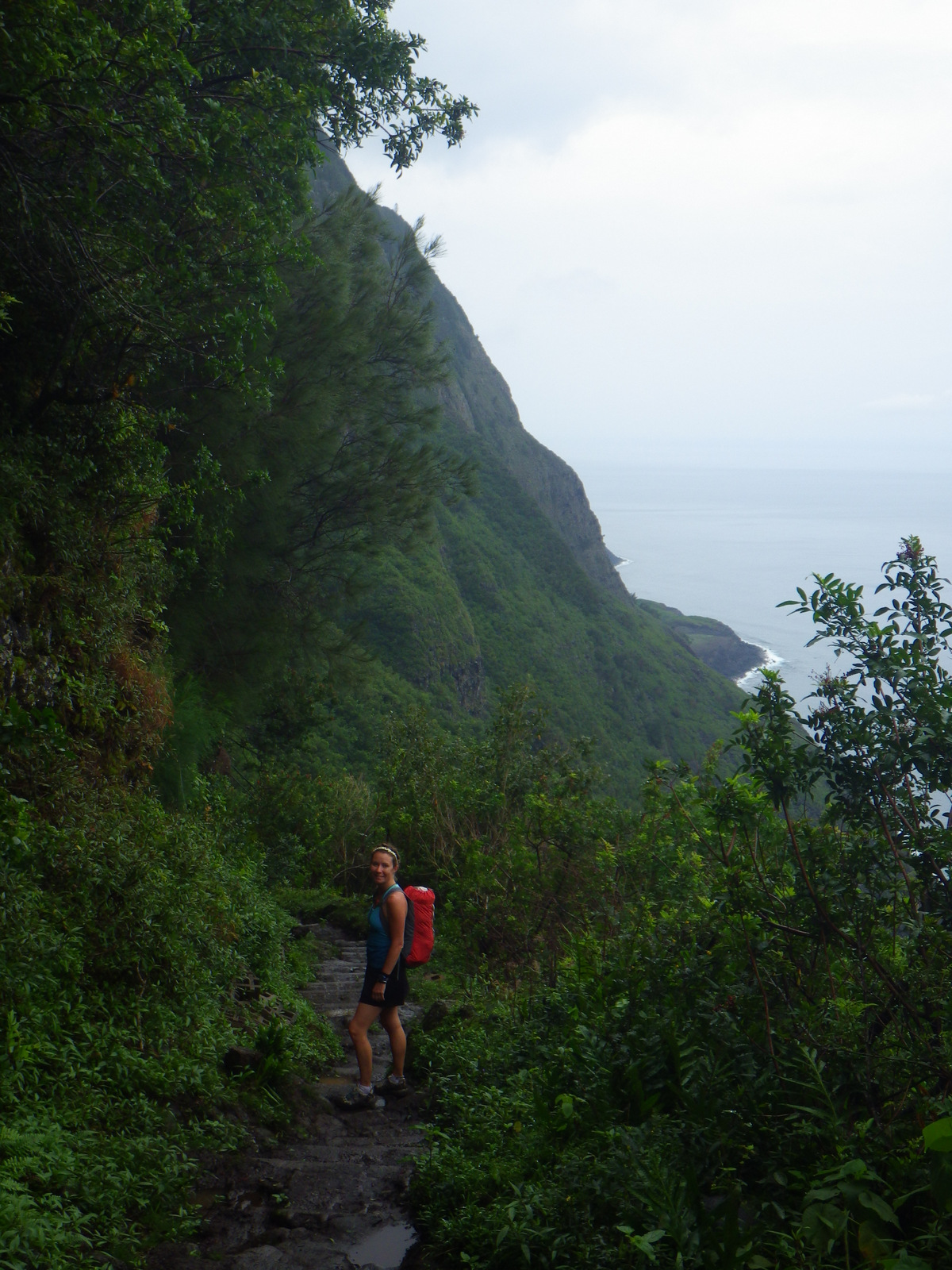
Hiking down the 1,600-foot high cliffs is an exciting introduction to the land, or you can ride a mule on the same trail.  Permits required.

Instagram-worthy Photo

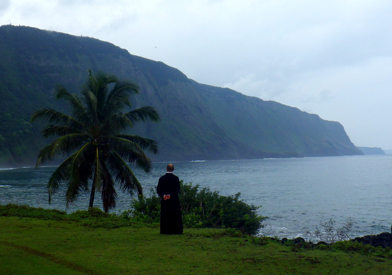
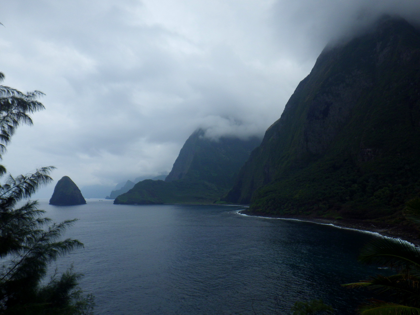
The tour stops for lunch at the long-abandoned Kalawao Settlement at the end of the road, which offers stunning views of the 1,600-foot cliffs that plunge into the Pacific Ocean.

IMGP2889.JPG

Peak Season

The weather is nice year round in the tropics, but always be prepared for rain.

Hours

https://www.nps.gov/kala/planyourvisit/hours.htm

Fees

Permits are required to enter this park and the only concessionaire is Father Damien Tours.  A day trip including flights from Honolulu cost $249 per person in 2016, but cheaper options are available if you are already staying on Molokai Island.

Road Conditions

The dirt roads are bumpy, especially in a bus, but you won’t be driving so just enjoy the scenery.

Camping

None

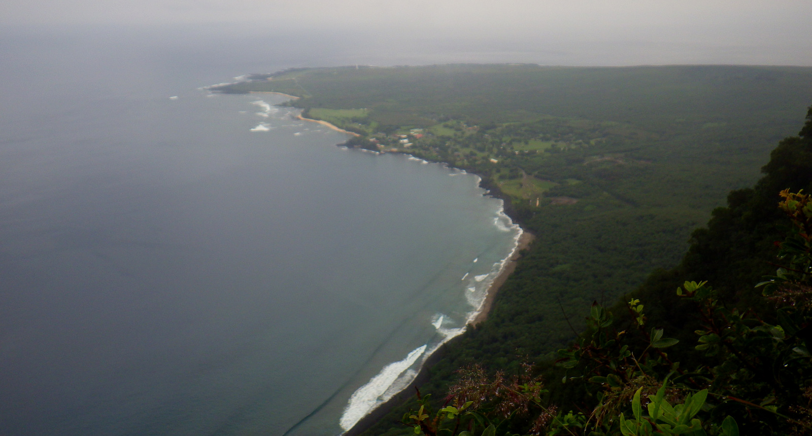
A view of Kalaupapa from near the top of the trail
Tropical jungles and extraordinary overlooks are two reasons to enter the park via the Kalaupapa Trail.

Tiff on the downhill

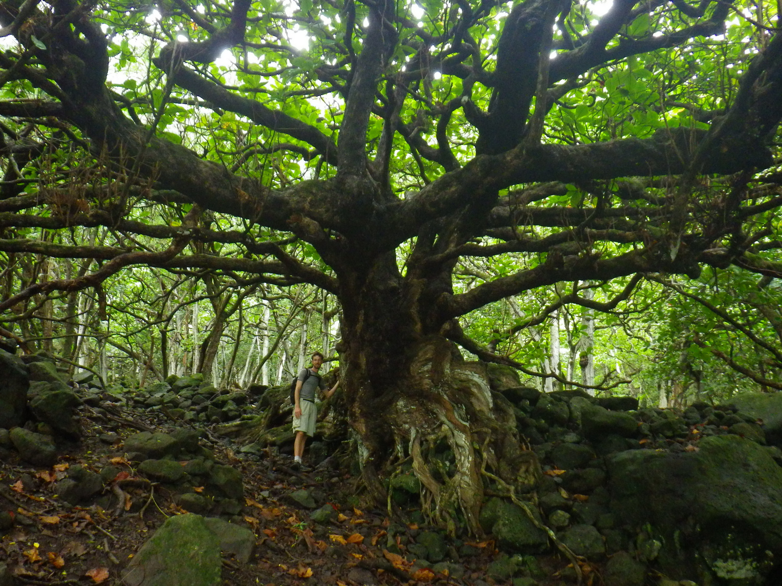
Scott with an awesome tree

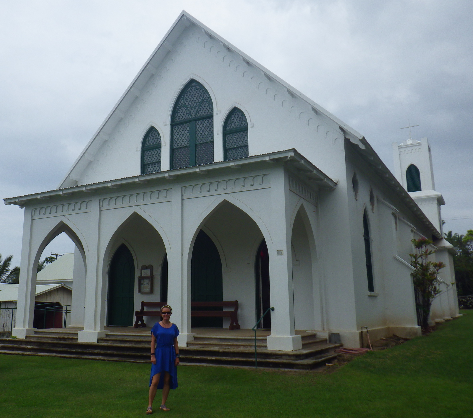
Tiff at the restored church built by Father Damien in the 1800s
Father Damien served here at St. Philomena Church in the later abandoned Kalawao Settlement; he was canonized in 2009.

Active Catholic church in Kalaupapa

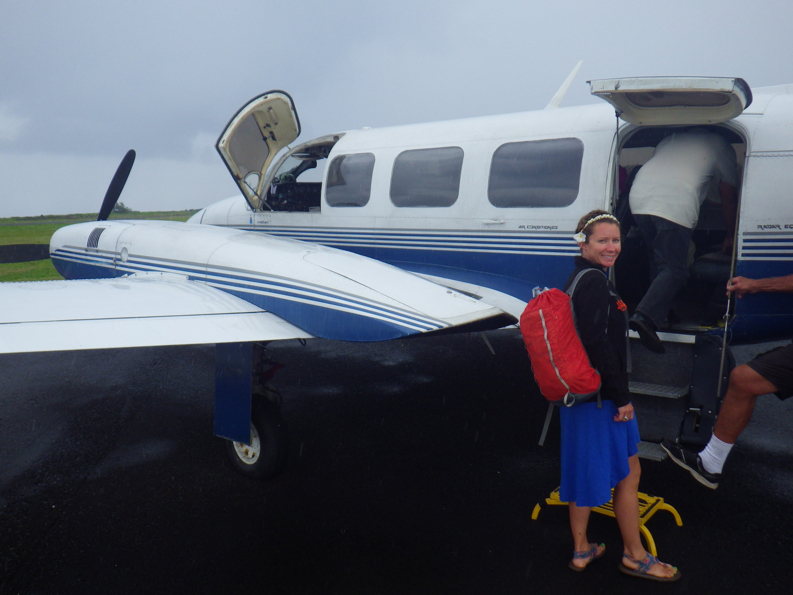
Tiff boarding our plane to get topside on Moloka'i
Small airplanes are used to fly in and out of Kalaupapa, offering great views of Molokai.

Explore More – Since 1865, how many Hansen’s disease patients were buried in Kalaupapa?

1WonsTiny

WONDON WAS HERE

Weir Farm National Historical Park

Overview

Weir Farm National Historical Park is the only National Park Service site in the state of Connecticut.  It is built around the art studios of Julian Alden Weir, an American impressionist painter that were later utilized by the Mormon sculptor Mahonri Young who made the This Is the Place monument in Salt Lake City, Utah.

Weir

Highlights

Free guided tour, free use of colored pencils/pastels, Artist in Residence program

Must-Do Activity

A unique opportunity the park provides is the use of colored pencils and pastels for each visitor to create their own artwork when they visit.  In this way they continue to allow the farm to inspire artists to capture the landscape in their own way, regardless of age or ability.

Best Trail

Pick up a self-guided walking tour pamphlet at the visitor center then walk (1.5 miles roundtrip) to Weir Pond, where the family loved to spend time in the summer fishing, swimming, and, of course, painting.

Instagram-worthy Photo

Get into the artistic spirit by posing with your face to the window like Weir’s wife did for a portrait in the family’s living room that you can see hanging inside the house.

Weir2.jpg

Peak Season

Open year round, but this was Weir’s summer home because that is the nicest time of year here.

Hours

https://www.nps.gov/wefa/planyourvisit/hours.htm

Fees

None

Road Conditions

All roads are paved, but Nod Hill Road is steep and narrow which may be difficult for RVs and other large vehicles.  The small parking lot cannot accommodate large RVs.

Camping

None

Sketching at Weir Farm

These bison cutouts were painted and posted around the farm

A outside view of the sculpture studio

On the porch of the Weir Farm HouseScott waiting on the front porch for our ranger guided tour inside the painter’s house.

One of the other artists that lived here was a sculptor

Explore More – Julian Alden Weir studied impressionism in the country it was founded in, where is that?