Many classic movies have been filmed within the boundaries of America’s National Forests due to their natural beauty (or maybe their state’s favorable laws and tax breaks). Our ranking is partially based on the quality of the movie and partially on the prominence of the setting to the story. We hope this list brings back some fond cinematic memories. Click here to check out all our Top 10 Lists, including our favorite movies filmed in National Parks.
10. Fire in the Sky (1993) Umpqua National Forest (Oregon)
This terrifying alien abduction story took place in Arizona, so naturally they filmed it in Oregon
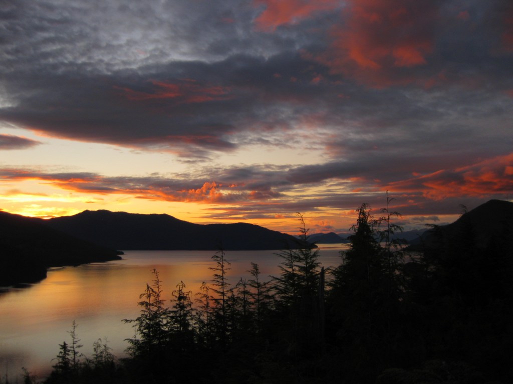
9. The Thing (1982) Tongass National Forest (Alaska)
John Carpenter’s book The Thing is set in Antarctica, but this parasitic alien preferred a temperate rainforest
8. ¡Three Amigos! (1986) Coronado National Forest (Arizona)
This comedy was filmed close enough to Mexico to stand in for it
7. 3:10 to Yuma (2007) Santa Fe National Forest (New Mexico)
50 years after its original release, this remake had its tunnel scenes filmed in this National Forest
6. The Last of the Mohicans (1992) Pisgah National Forest (North Carolina)
The 1920 version was filmed in California’s San Bernardino National Forest (see Honorable Mentions below) so they’re getting closer to the book’s northeastern U.S. setting
5. Homeward Bound (1993) Deschutes, Mt. Hood, Wallowa-Whitman, and Willamette National Forests (Oregon)
The incredible journey of three beloved pets was filmed across the state of Oregon
4. The River Wild (1994) Kootenai National Forest (Montana-Idaho)
A wet and wild thriller that featured this National Forest’s whitewater rivers
3. The Hunger Games (2012) Pisgah National Forest (North Carolina)
The forests of District 13 are where we first witness Katniss’ skills with a bow and arrow
2. A River Runs Through It (1992) Gallatin National Forest (Montana)
Beautiful scenery helped this film win the 1993 Academy Award for best cinematography
…and finally our #1 movie filmed in a National Forest:

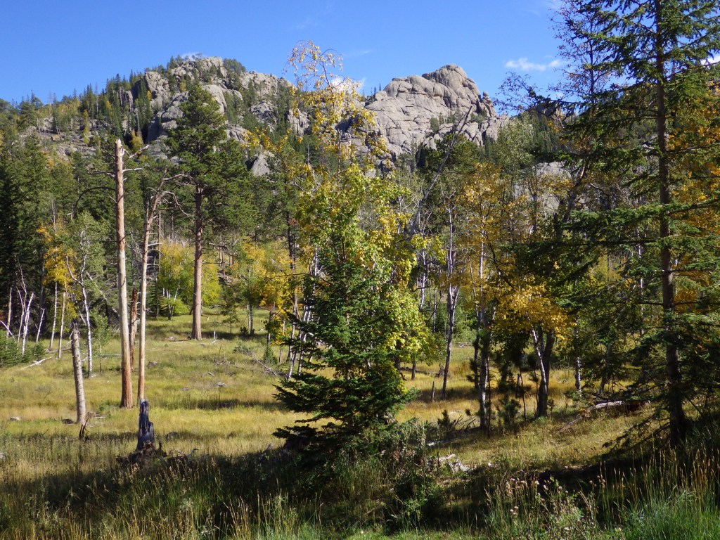
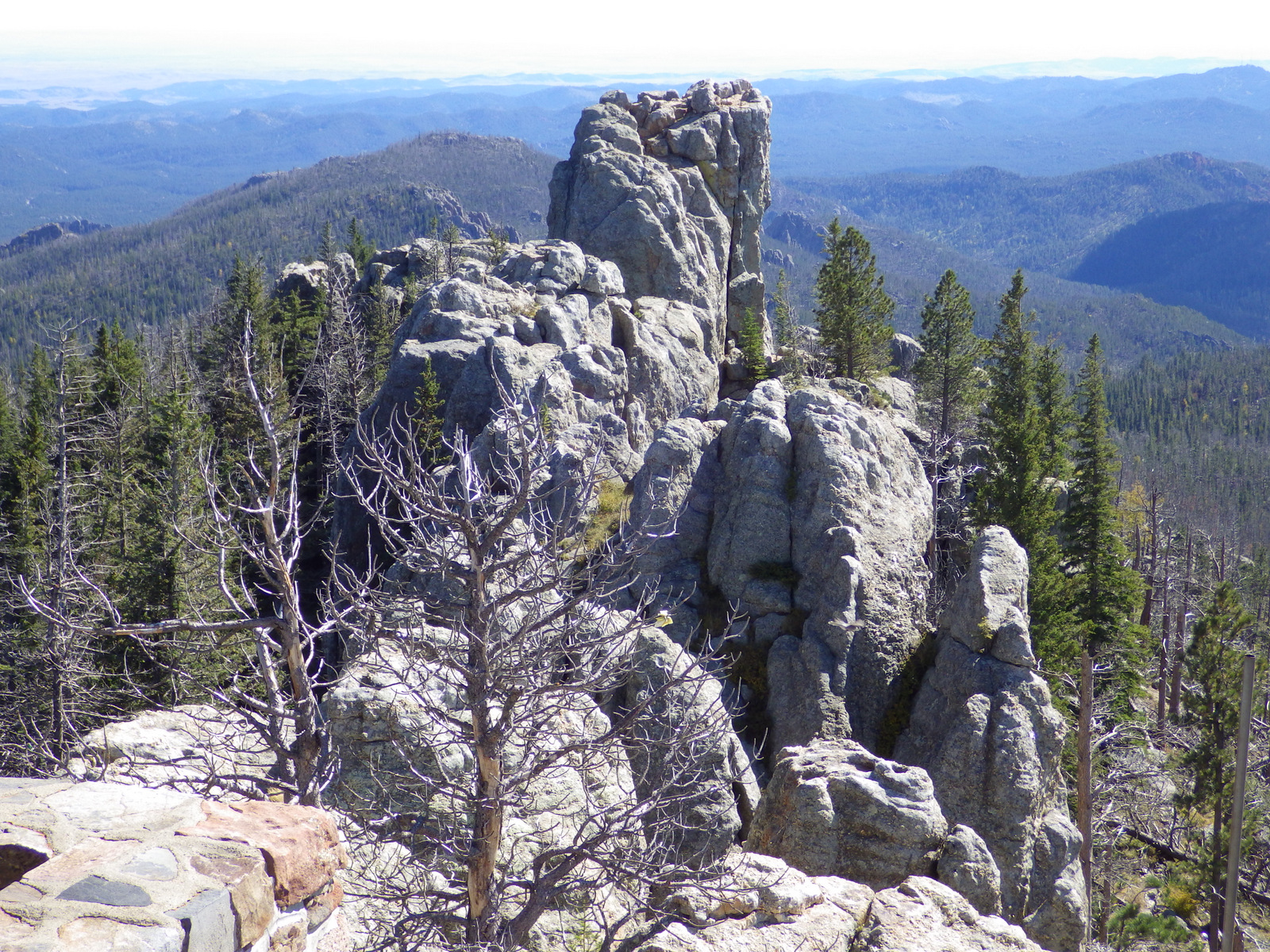
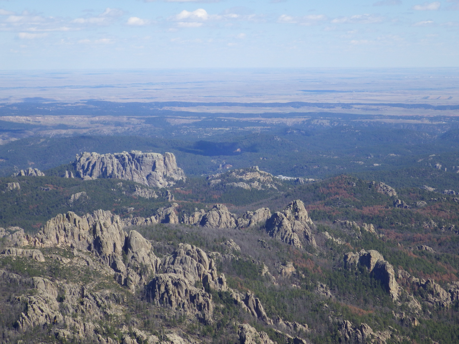
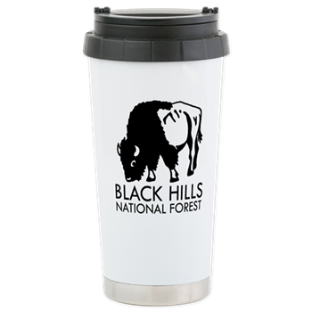
1. Dances With Wolves (1990) Black Hills National Forest (South Dakota-Wyoming)
This Academy Award-winning film separately inspired both our families go west to see bison in 1992
Honorable Mentions
Glory (1989) Osceola National Forest (Florida)
The famous 54th Massachusetts fought at Olustee in 1864 and they filmed on site, which is also true of Ocala National Forest’s The Yearling (1946) based on the Pulitzer Prize-winning novel
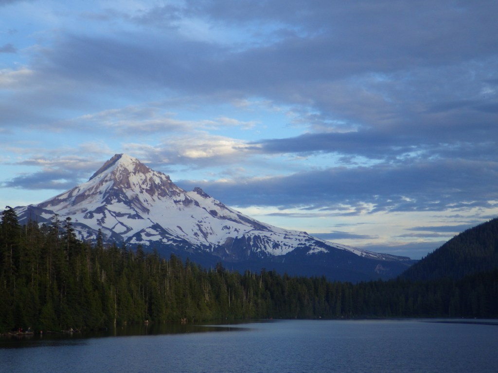
Dante’s Peak (1997) Idaho Panhandle National Forests (Idaho)
Not the greatest movie, nor are we sure which of the three National Forests were featured: Coeur d’Alene, Kaniksu, or St. Joe

Star Trek: First Contact (1996) Angeles National Forest (California)
Given its proximity to Hollywood, you would have thought more films would highlight this National Forest…
Dr. Doolittle (2001) San Bernardino National Forest (California)
…but directors seem to prefer to go a little further east based on these classic titles: Heidi (1937), Gone with the Wind (1939), Lassie Come Home (1943), The Yearling (1946), Shane (1953), Creature from the Black Lagoon (1954), and Old Yeller (1957)
High Plains Drifter (1973) Inyo National Forest (California-Nevada)
Another National Forest in the Golden State used in many westerns like this one starring Clint Eastwood