Overview
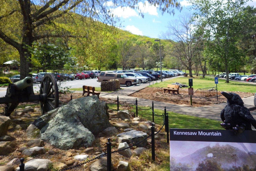
There are probably not many places on the list of top 50 most visited units in the National Park Service (NPS) system that you have never heard of, but Kennesaw Mountain National Battlefield Park may be one. Located in a suburb of Atlanta, Georgia, this 2,923-acre park receives more than 2.3-million visitors annually. The park memorializes a Civil War battlefield on General Sherman’s “scorched earth” march to Atlanta in 1864 and is now surrounded by a heavily-populated suburb and a university. Watch for pedestrians on the road to the top of the 700-foot tall Kennesaw Mountain.
Highlights
Museum, film, scenic views, hiking trails, Kolb’s Farm, cannons
Must-Do Activity
You can drive to the cannons and earthworks on top of Kennesaw Mountain when the shuttle bus is not running on weekdays, but most recreationists walk the road or trails to get there. Inside the NPS visitor center at the 700-foot hill’s base, you will learn about the Atlanta Campaign of 1864 when Union General William Tecumseh Sherman led 100,000 troops out of Chattanooga, Tennessee on the “March to the Sea.” After 5,350 soldiers died at Kennesaw Mountain, he decided to just go around it on his way to the city, causing the Confederates to abandon their fortifications there. If you do drive to the top, you will need to go around many pedestrians and bikers, too.
Best Trail
There are 19.7 miles of hiking trails, but we found that most visitors just walked or biked down the center of the paved road to the top.
Instagram-worthy Photo
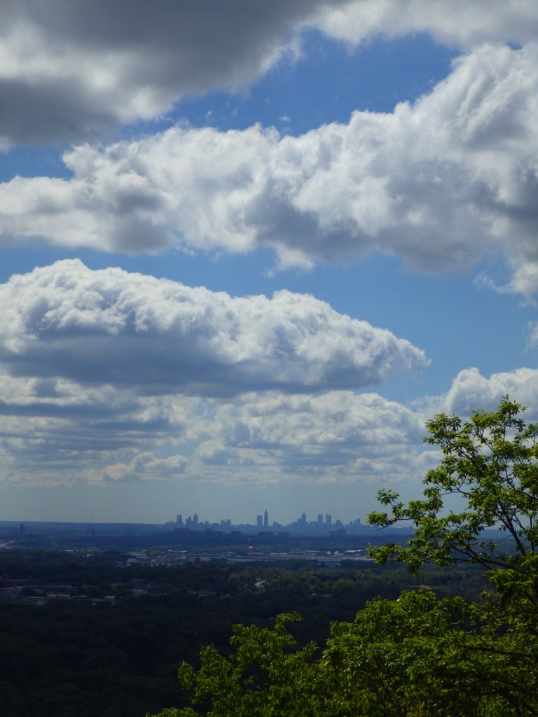
Kennesaw Mountain offers sweeping views of the Atlanta-metropolitan area.
Peak Season
Spring and fall
Hours
https://www.nps.gov/kemo/planyourvisit/hours.htm
Fees
$5 per vehicle or America the Beautiful pass
Road Conditions
The road to the top is paved, but there is limited parking up there so a shuttle bus runs on weekends.
Camping
There are several campgrounds on nearby Lake Altoona managed by the U.S. Army Corps of Engineers. Red Top Mountain State Park is also located north of Kennesaw, Georgia.
Related Sites
Chickamauga and Chattanooga National Military Park (Tennessee-Georgia)
Chattahoochee River National Recreation Area (Georgia)
Andersonville National Historic Site (Georgia)
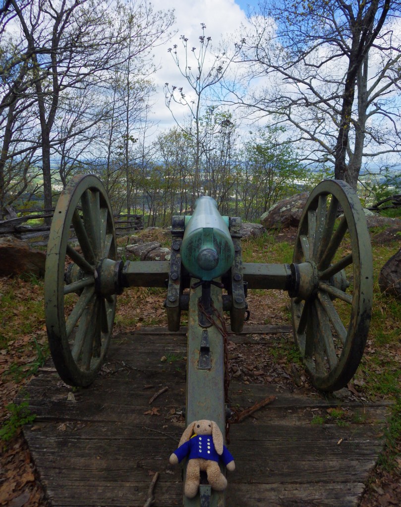
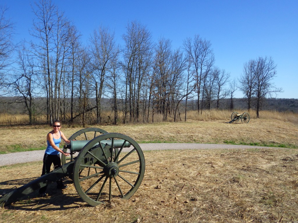
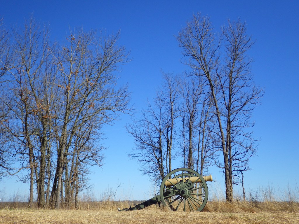
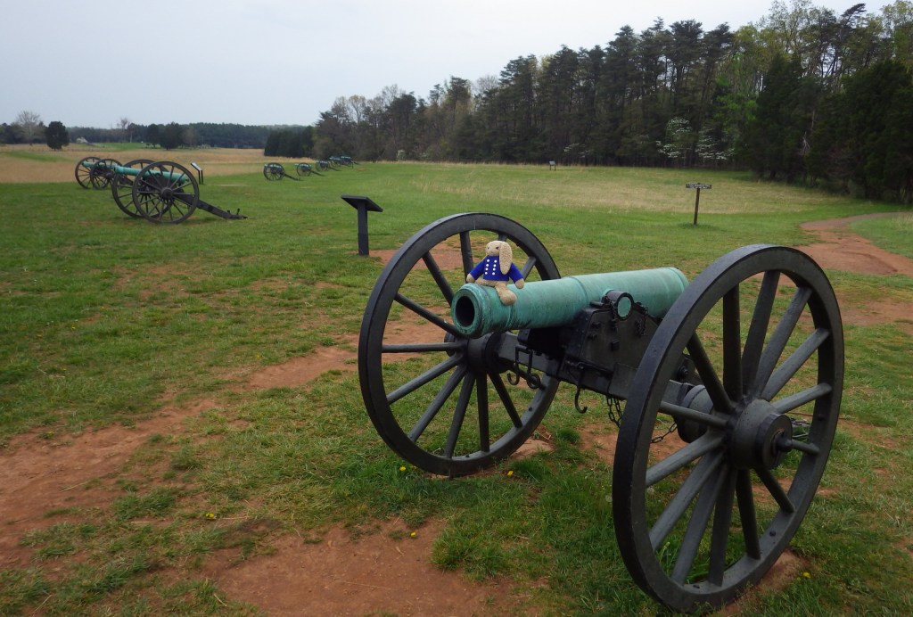
No Civil War site would be complete without a cannon 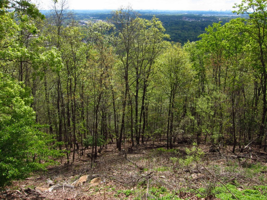
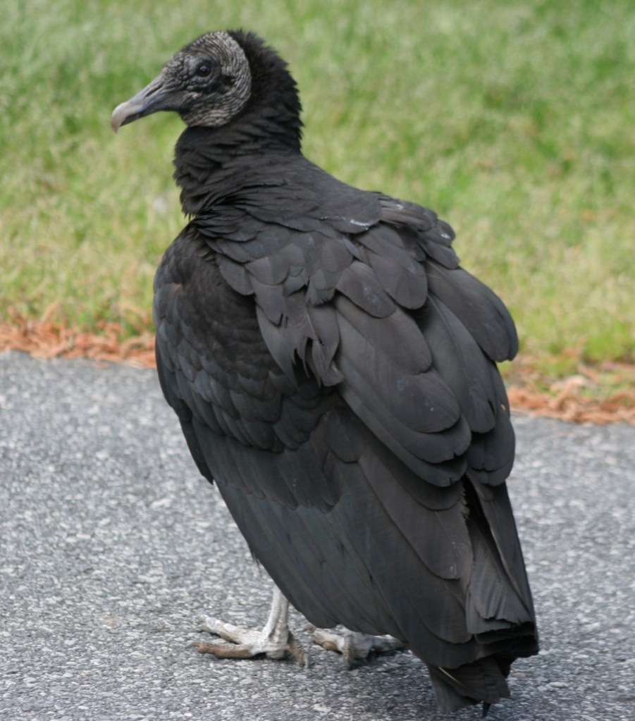
Black vulture 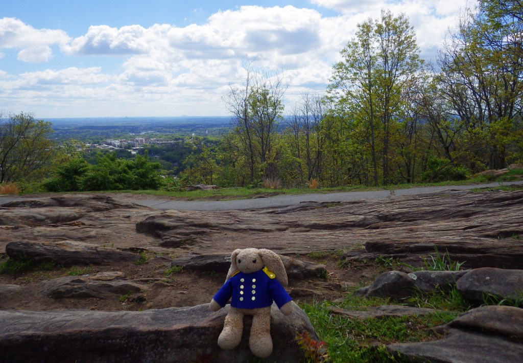

An NPS site with a cell tower on it
Explore More – The attack on Kennesaw Mountain occurred on June 27, 1864, but when did the Union army finally occupy Atlanta?