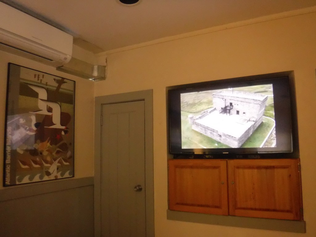
After a failed American settlement by persecuted French Protestants (Huguenots) in 1562, two years later a group of 200 soldiers, artisans, and a few women established a colony at the mouth of the St. Johns River (east of present-day Jacksonville, Florida). Led by René de Goulaine de Laudonnière, they hurriedly assembled the triangular Fort Caroline, named for King Charles IX. In 1565, Jean Ribault arrived with 600 more settlers and soldiers. After learning the Catholic Spanish had established a base to the south at St. Augustine, Ribault set sail for a surprise attack, only to be shipwrecked by a hurricane. The unprotected Fort Caroline was easily captured by the Spanish, who executed 140 of its 200 inhabitants. The Spanish then killed nearly 250 French marooned at Matanzas Inlet, which gained its name from these “slaughters.” Following a British siege in 1740, the Spanish began construction of Fort Matanzas on Rattlesnake Island to guard the southern entrance to the city of St. Augustine where they had built Castillo de San Marcos. Only two years later, Fort Matanzas’ cannons successfully repelled British ships and today you can take a free ferry to tour inside the restored 50-foot-square structure.
Museum, film, boat ride, Fort Matanzas, Nature Trail
Must-Do Activity
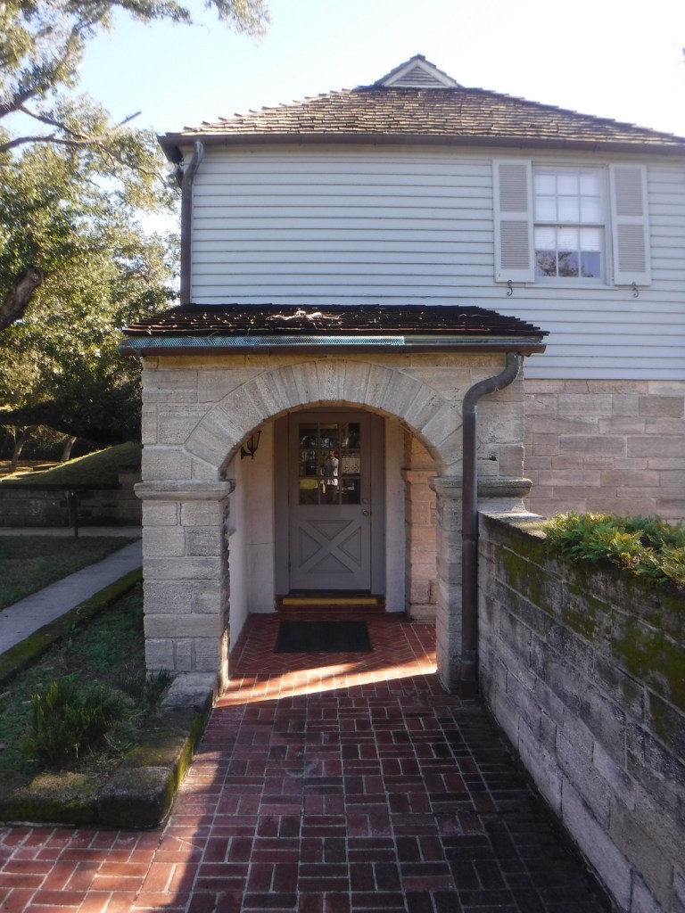
We have tried three times to visit the fort here, but in 2016, 2019, and 2024 the dock was damaged by a hurricane so the National Park Service (NPS) ferry was not running to Rattlesnake Island. Good news is there is an eight-minute film and you can see the small fort from the visitor center. There are also hiking trails, boardwalks, and sandy beaches to explore at the southern tip of Anastasia Island, which are accessible by car. Only 40 miles to the north, the NPS administers Fort Caroline National Memorial as a unit of Timucuan Ecological and Historic Preserve, where you can enter a one-third scale reconstruction of the triangular structure (and no ferries are involved).
Best Trail
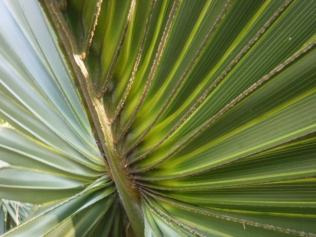
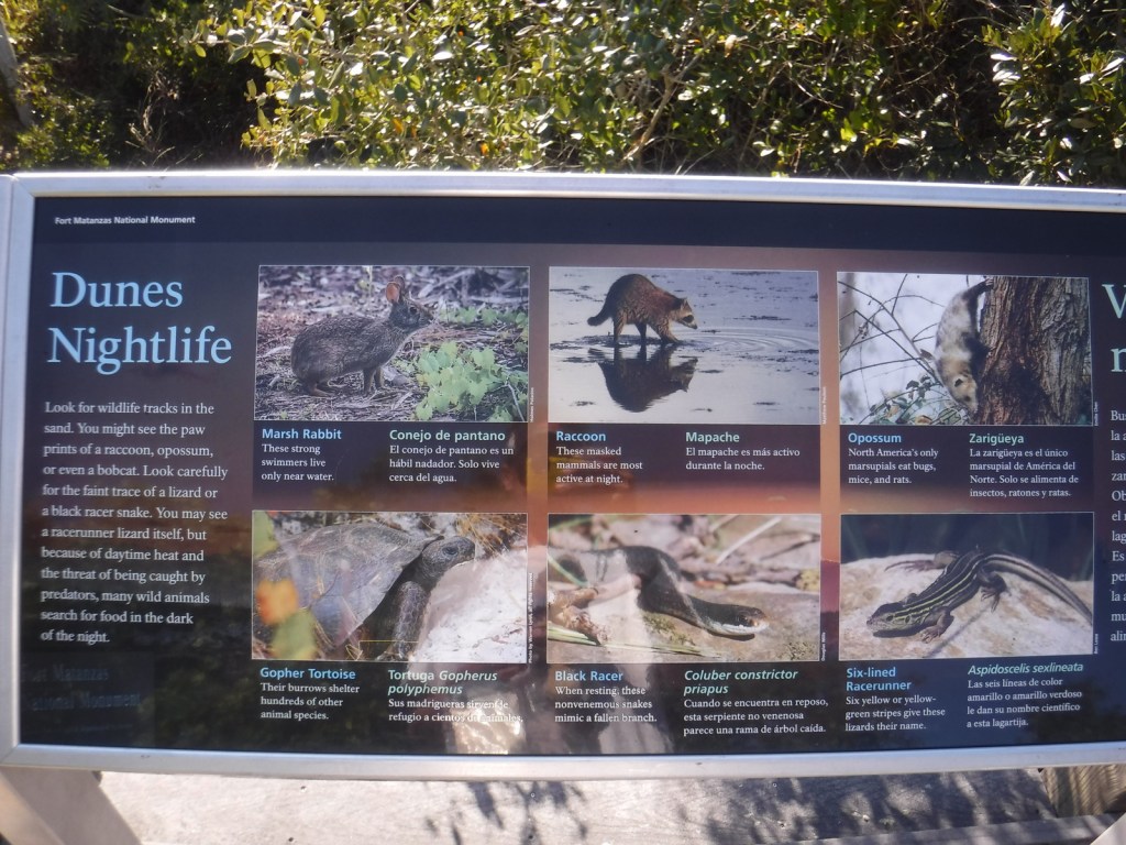
The half-mile Coastal Hammock Trail has signs introducing some of the tree and shrub species found in the maritime forest.
Photographic Opportunity
Southern live oak trees stretch their twisted branches above the picnic area in the parking lot of the visitor center.
The visitor center, trails, and NPS ferry are free, but there is a parking fee for beach access on the Atlantic Ocean side across Highway A1A from the visitor center entrance road.
Road Conditions
The road to the parking lot is paved from Highway A1A.
Camping
The NPS does not run a campground, but Anastasia State Park does south of St. Augustine.
Best time of year: Spring for mild temperatures and flowering dogwood blooms
We recently published our guidebook 50 States of Great: Road Trip Guide to America, so we decided to start a new type of blog post where we create a travel itinerary for all 50 states, in addition to our usual National Forest and National Park entries. After starting with Kansas, we decided to do an east coast state. We made an ambitious seven-day plan starting in the northwest corner of Georgia, with many options to extend the trip.
Formerly named after Springer Mountain, the southern terminus of the Appalachian National Scenic Trail (click here for our blog post) is marked with a bronze plaque and trail register. Most backpackers start from potholed Forest Service Road 42 and ascend 0.9 miles south to the summit then spend the night in the open-front trail shelter or turn around to head back north. For day hikers, a nice option is to add the eastern part of the Benton MacKaye Trail to make a 4.7-mile loop that passes Owen Vista.
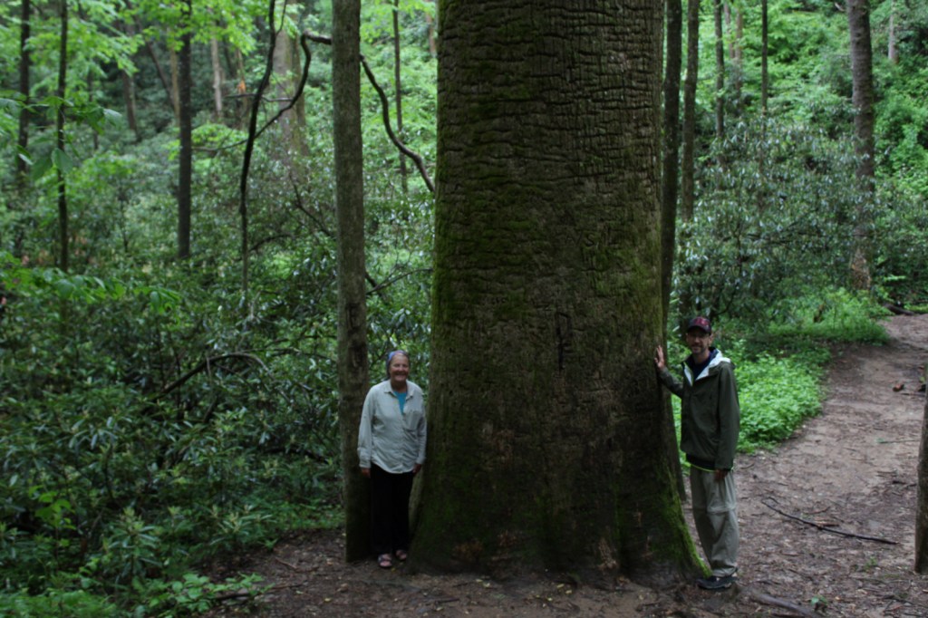
The Gennett Poplar (a tulip-poplar tree more than five feet in diameter) is accessed by hiking 1.8 miles out-and-back with two stream crossings on the Bear Creek Tail. Other large tulip-poplars and yellow buckeyes are found in 175-acre Sosebee Cove Scenic Area. You can spend the night riverside at the free Hickey Gap Campground, one of our Top 10 National Forest Campgrounds.
Half of this park is situated in Tennessee around Lookout Mountain, but at Georgia’s Chickamauga battlefield a seven-mile long driving tour explains what happened there on September 20, 1863.
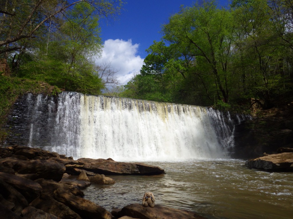
Optional stops at Brasstown Bald, Tallulah Gorge State Park, Amicolola Falls State Park, and Cloudland Canyon State Park
Start your itinerary a day early in Georgia’s northeast corner by enjoying some State Parks and the state’s high point Brasstown Bald, managed by Chattahoochee National Forest.
Wait out the morning traffic into Atlanta by driving or hiking to the top of this steep hill in the city’s suburbs.
Georgia Aquarium
Holding more than 10-million gallons of water in its numerous tanks, Georgia Aquarium is the best in the nation (even better than California’s Monterey Bay Aquarium). It contains more than 500 aquatic species, but the most impressive are the 30-foot-long whale sharks that reside in the 6.3-million-gallon Ocean Voyager Gallery, the world’s largest indoor marine exhibit.
A short walk from the visitor center is required to enter King’s boyhood home (which is wheelchair accessible). Silence is mandatory while inside. Outside the neighboring King Center, the Reflection Pool contains the tombs of Martin Luther King, Jr. and his wife Coretta Scott King, as well as an eternal flame.
Established in 1978, this park is a combination of government jurisdictions and private land that protects 48 miles of the Chattahoochee River downstream from Lake Sidney Lanier northeast of Atlanta. Due to its lack of large rapids it is popular with canoers.
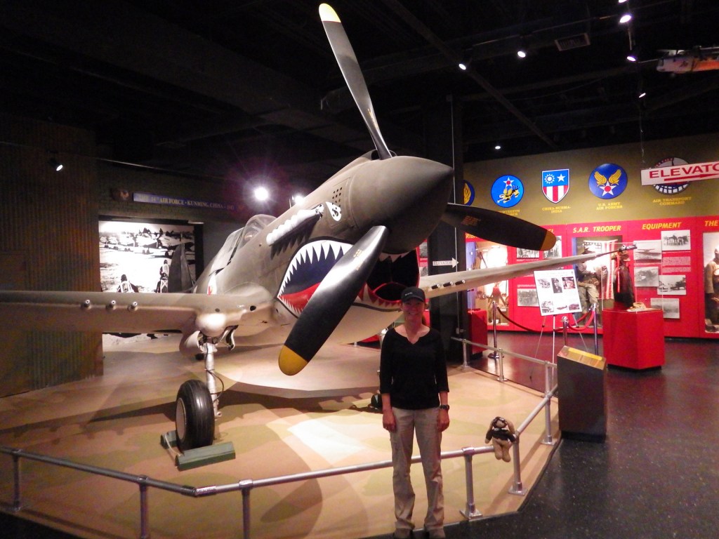
This notorious Civil War prison remains an active military cemetery and is also home to the National Prisoner of War Museum run by the National Park Service. This may not be the best place to bring children, given that the exhibits in the museum do not pull punches in their depictions of the brutality endured by captured combatants throughout the ages.
One of the best examples of temple mounds from the Mississippian Culture that began around 1,100 years ago. Starting from the National Park Service museum (which contains artifacts dating back to 8000 B.C.E.), walk under the railroad tracks, go inside the replica earth lodge, and up the stairs to access the top of the 55-foot-tall Great Temple Mound.
Day 4
Savannah
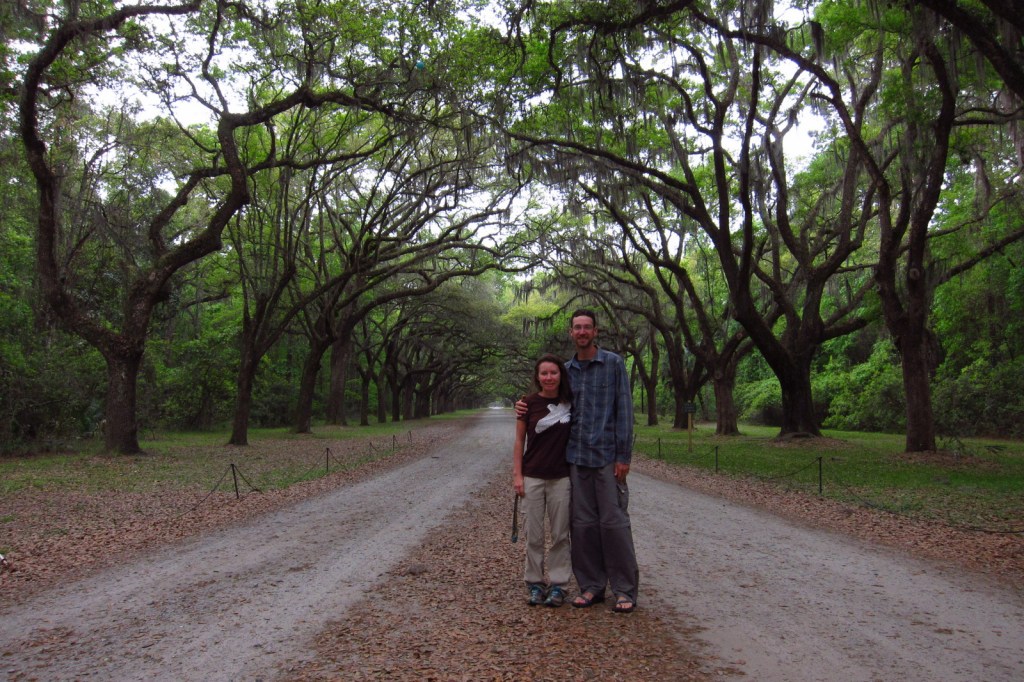
Savannah is a great city for walking that offers countless public squares, beautifully landscaped Forsyth Park with its iconic fountain, spooky Bonaventure Cemetery (see photo), legendary River Street shopping district, and architectural gems like the birthplace of Juliette Gordon Low (who founded the Girl Scouts of America in 1912). Do not miss a photo at the tree-lined entrance to Wormsloe State Historic Site, a plantation located on the edge of an expansive marsh.
Optional stop at Tybee Island
After touring the city, drive on to the Atlantic Ocean for some beach time. Once you have soaked up some saltwater, sand, and sun, check out the Tybee Island Light Station and Museum, built at this site in 1773, then reconstructed after the Civil War. Also, check out the nearby World War II-era Battery Garland in the decommissioned Fort Screven.
Located 17 miles from Savannah on Cockspur Island, photogenic Fort Pulaski National Monument protects a brick fort named for a Polish Count who was killed in action during the American Revolution. Claimed by the Confederacy early during the Civil War, it was surrendered to the Union Army in April 1862 after thirty hours of shelling from nearby Tybee Island.
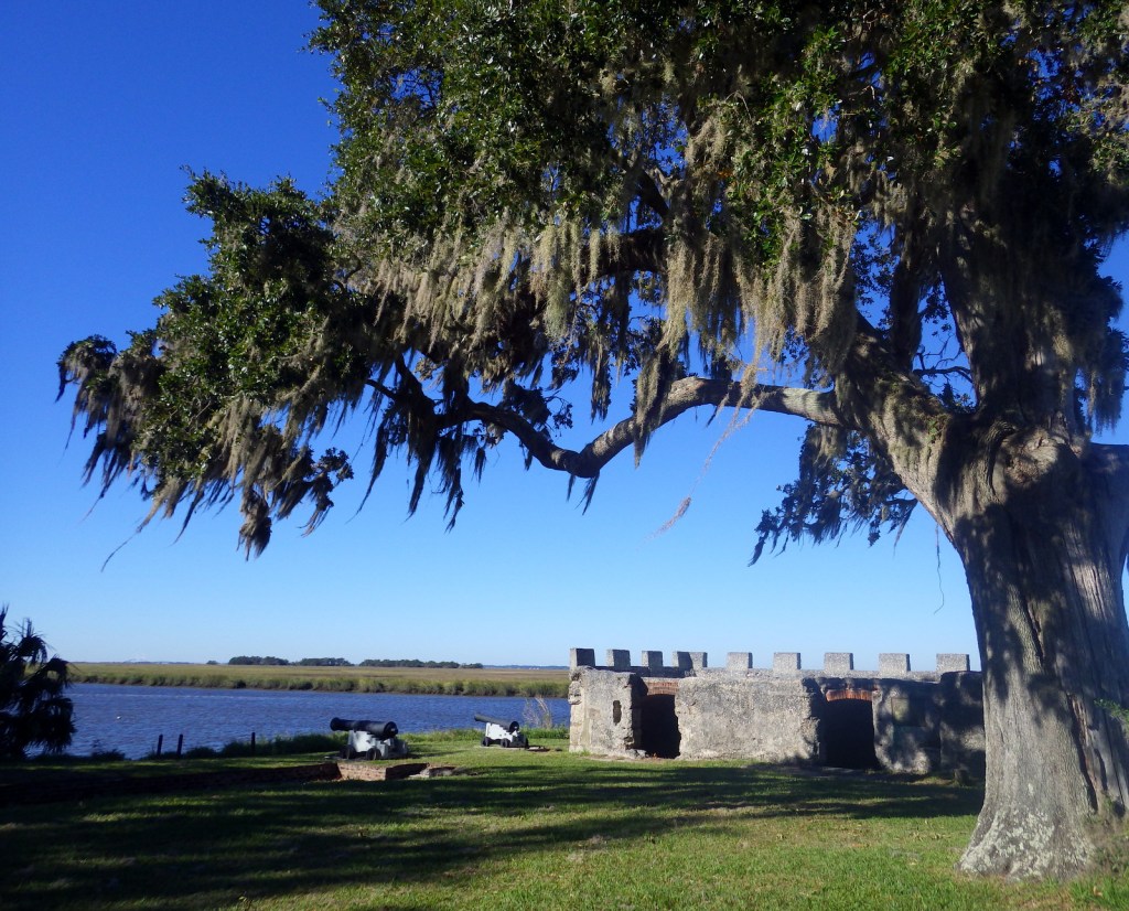
The British established Fort Frederica in the 1730s to stop Spanish encroachment from Florida into their American colonies. The town that formed around the fort peaked at a population of 1,000. Today it is a beautiful setting with tabby wall ruins and Spanish moss-draped trees.
Only accessible by boat, most visitors arrive by ferry from St. Marys (reservations recommended) and spend a full day here. Bicycles can be rented once you arrive on the island (they are not allowed on the ferry) and are permitted on the many miles of roads, but not on the trails or beach. While it is fun to spend time beachcombing or seeing the ruins of the Dungeness mansion, what really sets Cumberland Island apart are the 50 miles of hiking trails that cut through the maritime forest of twisty live oak trees. Watch for feral horses, white-tailed deer, armadillos, turkeys, and other birds along the way.
The largest freshwater wetlands in the country are home to about 12,000 alligators. The baldcypress swamp spreads across 448,000 acres around the Suwannee River. There are no roads across Okefenokee National Wildlife Refuge and it is most easily accessible from the west through Stephen C. Foster State Park, which has a campground and kayak rentals to access camping platforms in the swamp.
Clearing the forests for farmland in the mid-1800s is what allowed these 16 gullies to erode the soft red-clay hills into the colorful spectacle they are today (with many shades of orange, pink, lavender, and yellow). The 1,003-acre State Park was established in 1971 to protect the area and it is featured as a U-Haul Super Graphic. The best views are from the rim walk, but to truly appreciate the depth (up to 150 feet deep) and palette of colors you need to hike down into some of the nine canyons with trails.
The former Governor, Nobel Peace Prize-winner, and U.S. President Jimmy Carter is the most well-known peanut farmer in Plains, and was a regular at the Plains Peanut Festival held every September. The National Park Service manages the Jimmy Carter National Historical Park with two visitor centers, one at the former Plains High School and the other at the family’s 360-acre farm.
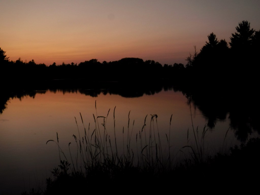
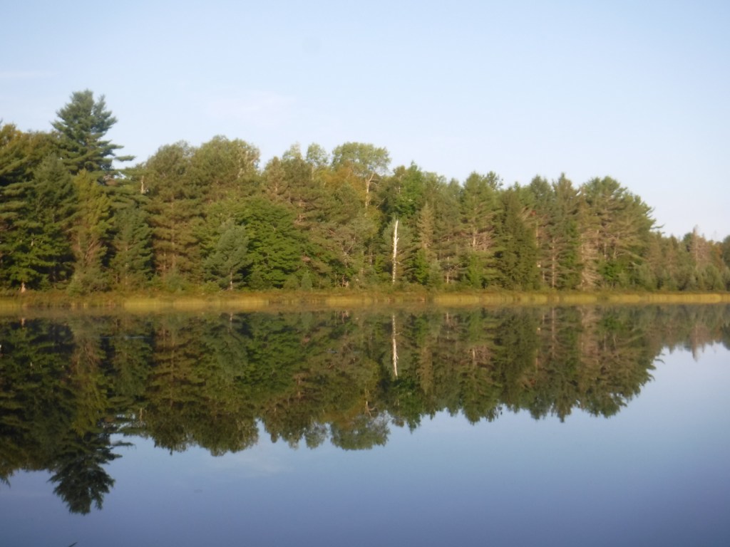
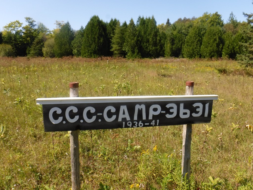
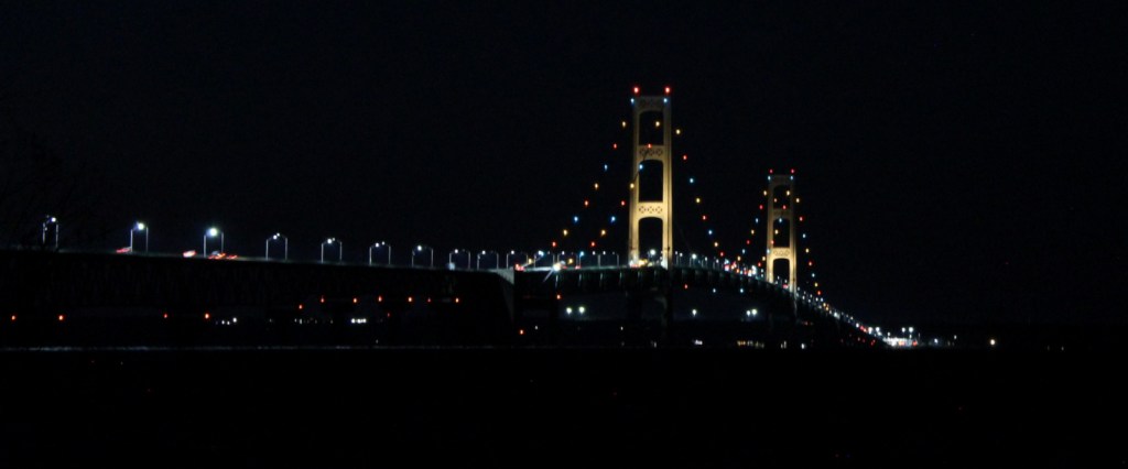
Hiawatha National Forest is separated into two sections on the Upper Peninsula of Michigan, both of which touch Lake Superior and Lake Michigan. The East Unit also fronts Lake Huron, and includes scenic Round Island Lighthouse near Mackinac Island, as well as beautiful Point Iroquois Light Station. Most of these sandy soils in the East Unit were never homesteaded, so they were easily designated Marquette National Forest by President Theodore Roosevelt in 1909. Land purchases for the West Unit began in 1928, and were later replanted by the Civilian Conservation Corps (CCC). The West Unit includes 13,500-acre Grand Island National Recreation Area (see our blog post) in Lake Superior, a popular destination for camping, biking, and kayaking at the western edge of Pictured Rocks National Lakeshore.
Highlights
Grand Island National Recreation Area, St. Helena Island National Scenic Area, Whitefish Bay Scenic Byway, Point Iroquois Light Station, Scott Falls, Diamond Hill Lookout, Porcupine Nature Trail, Haymeadow Falls Trail, Naomikong Point Blue Trail, North Country National Scenic Trail
Must-Do Activity
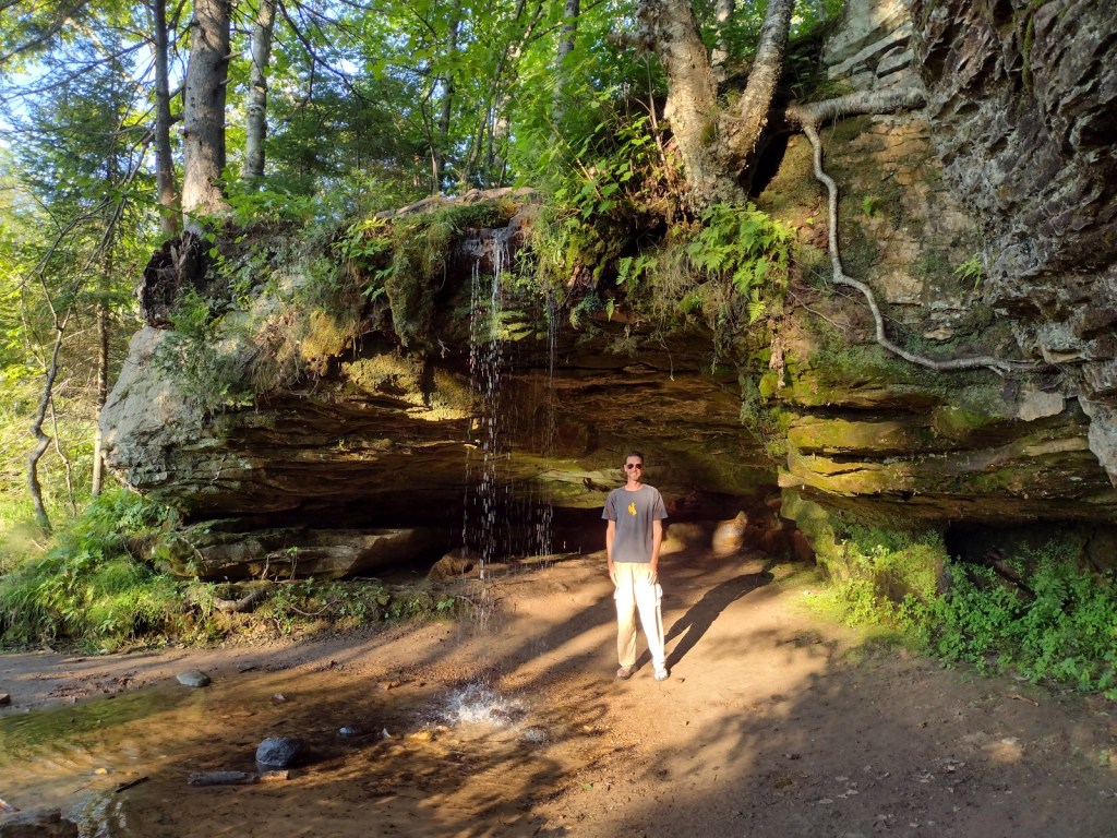
Several lighthouses are located along the shores of the Great Lakes, including the picturesque Round Island Lighthouse near touristy Mackinac Island, Point Iroquois Light Station (see Instagram-worthy Photo) on the Whitefish Bay Scenic Byway, and one on private land near Wick Point within Grand Island National Recreation Area (see our blog post). Further to the west Highway M-28 follows the shores of Lake Superior, where a Wayside Park at the east side of AuTrain Bay provides parking for those wishing to carefully cross the road to see ten-foot-tall Scott Falls.
Best Trail
Foley Creek Day Use Area is located just off Interstate 75 at a large pullout along paved Mackinac Trail Road. A hike starts at the north end of a former campground, and soon the sound of the freeway is dispersed by the trees as you enter the small Horseshoe Bay Wilderness. The trail has boardwalks across the wettest spots and after 1.4 miles opens up to a secluded sandy beach on Lake Huron with views of Mackinac Island. Naomikong Point Blue Trail is a popular 3.4-mile out-and-back trail that connects with the North Country National Scenic Trail, crossing Naomikong Creek on a suspension bridge then ending at Menekaunee Point on Naomikong Island.
Watchable Wildlife
These forests are home to gray wolves, black bears, bobcats, Canada lynx, mountain lions, red foxes, coyotes, striped skunks, weasels, minks, river otters, porcupines, beavers, muskrats, snowshoe hares, white-tailed deer, and moose. Large birds found here include wild turkeys, spruce grouse, ruffed grouse, golden eagles, bald eagles, ospreys, great blue herons, sandhill cranes, and trumpeter swans. Hiawatha National Forest has more than 100 miles of shoreline on three Great Lakes, offering fishing for walleye, northern pike, muskies, Atlantic salmon, and steelhead trout. In addition, there are 75 inland lakes and 600 miles of streams, including five National Wild and Scenic Rivers: Carp River, Indian River, Sturgeon River, Tahquamenon River (East Branch), and Whitefish River. The 0.9-mile Haymeadow Falls Trail loop partially follows a productive trout stream.
Instagram-worthy Photo
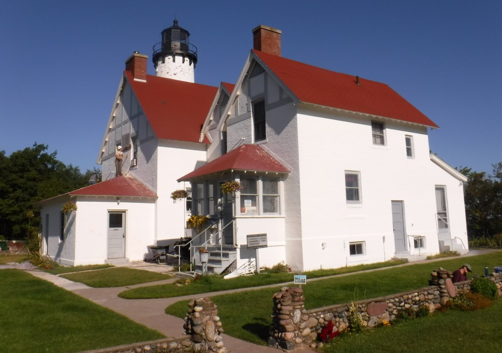
Located on the Whitefish Bay Scenic Byway, the iconic 65-foot Point Iroquois Light Station stands on the shores of Lake Superior at the mouth of St. Mary’s River. The first lighthouse and residence were built here in 1855, and the current buildings were placed on the National Register of Historic Places in 1975. When not under construction, you can pay to enter the museum and climb the spiral staircase to the top of the tower.
Peak Season
Summer
Fees
None
Road Conditions
Whitefish Bay Scenic Byway is fully paved, and we found the unpaved roads to Hovey Lake Campground to be in good enough shape for our passenger vehicle.
Camping
We spent an enjoyable night at the free Hovey Lake Campground and awoke to find a pair of trumpeter swans on the water. Hiawatha National Forest has many other campgrounds, including two near the Mackinaw Toll Bridge: Lake Michigan (35 campsites) and Carp River (44 sites). Near the town of Brimley on Lake Superior, Bay View (24 sites) and Monocle Lake (39 sites) Campgrounds are also popular.
Hovey LakeTrumpeter swansHovey LakeScott behind Scott FallsPoint Iroquois Light StationPoint Iroquois Light StationLake SuperiorPoint Iroquois Light StationHorseshoe Bay WildernessHorseshoe Bay WildernessLake HuronMackinaw Toll BridgeLake MichiganRound Island Lighthouse from Mackinac IslandMackinac Island in distanceLake Huron
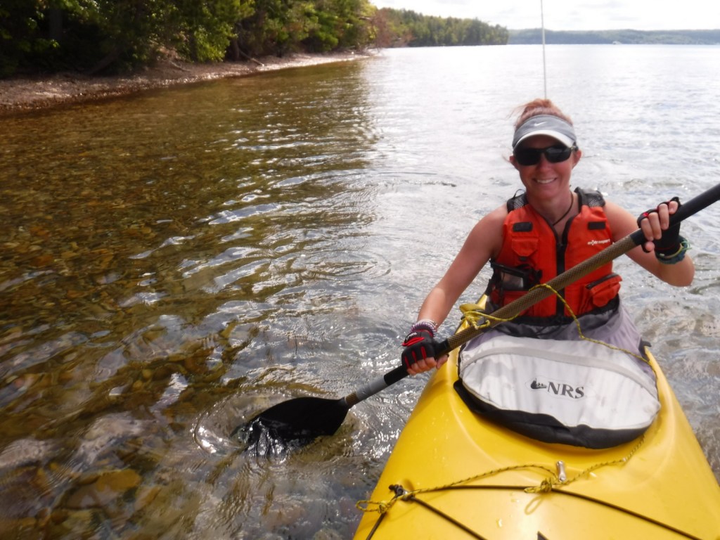
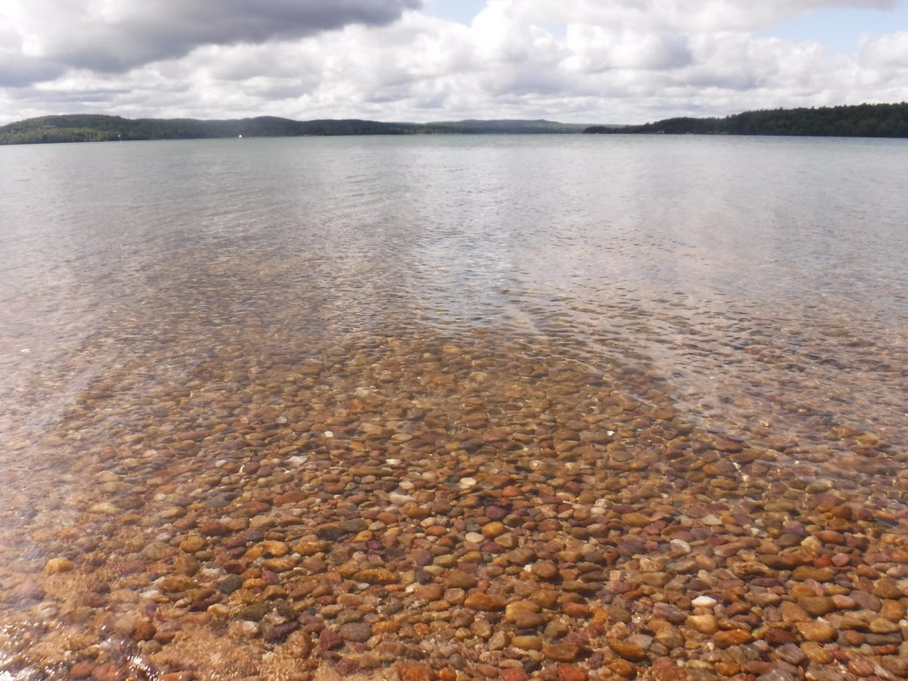
The turquoise color of Lake Superior beneath the sandstone cliffs of Grand Island National Recreation Area makes it seem warmer than it actually is. Glaciers carved this island’s shoreline thousands of years ago and the Ice Age never seems far off in the lake’s cold waters. Managed by Hiawatha National Forest, the most popular activities here are commercial boat tours, backpacking, and mountain biking the 20-mile loop around the island. Paddling a sea kayak can be an unforgettable experience and guides can provide the necessary gear. Most of the northern two-thirds of Grand Island is surrounded by cliffs with nowhere to land a boat, so be careful as large waves can become hazardous on Lake Superior.
Highlights
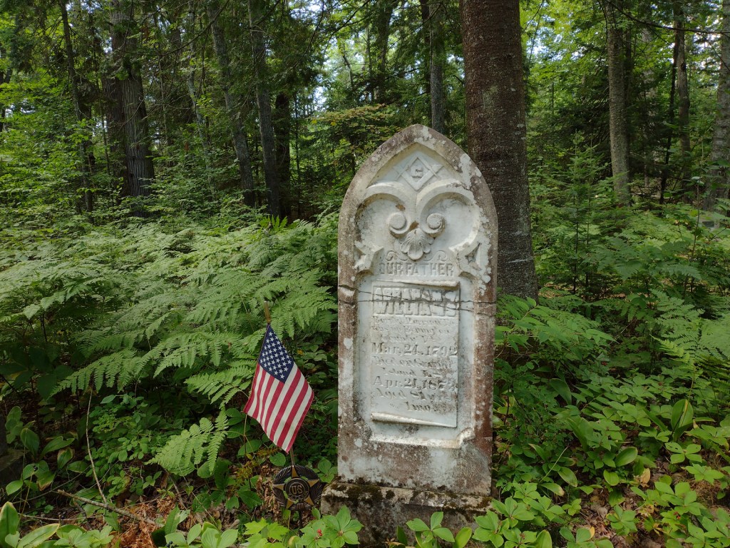
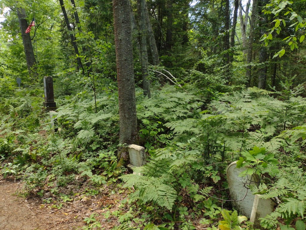
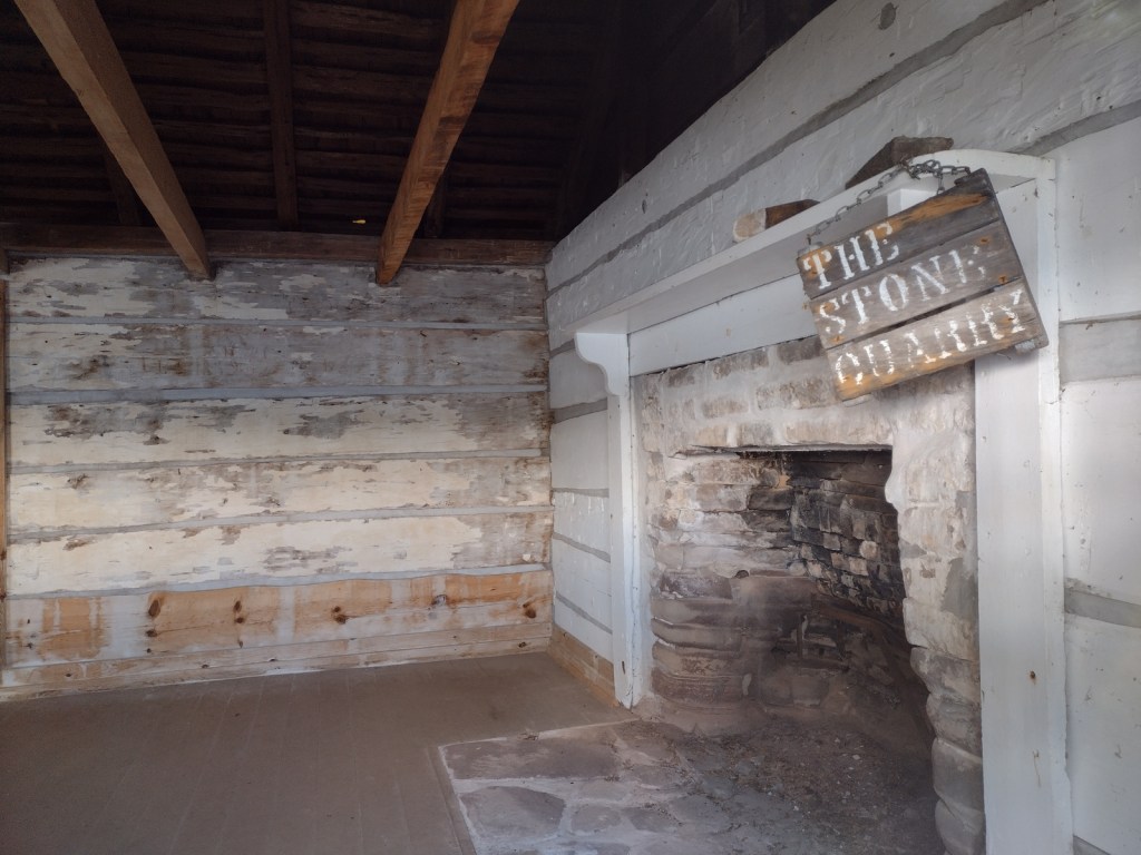
East Channel Lighthouse, 1870 wreck of the Bermuda, Williams-Powell Cemetery, Stone Quarry Cabin, Waterfall Beach Overlook, Merchandise Beach, Echo Lake
Must-Do Activity
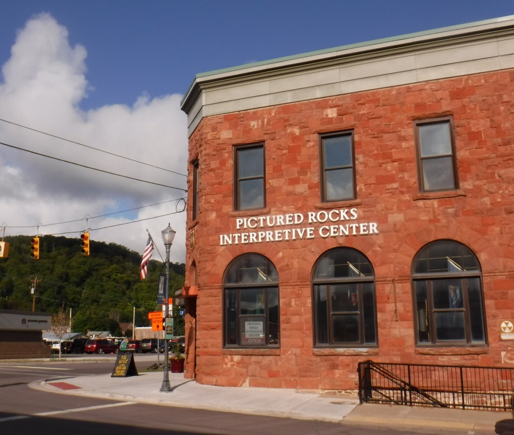
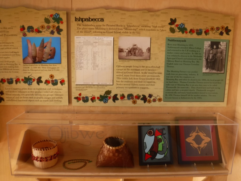
After a night spent at the free Hovey Lake Campground in Hiawatha National Forest, we kayaked to Grand Island from the ferry dock west of Munising to see East Channel Lighthouse and the 1870 wreck of the Bermuda from the water. We then landed our boat on the sandy beach at Murray Bay Group Site to walk to Williams-Powell Cemetery and Stone Quarry Cabin. You can pick up a guided boat tour from the docks in Munising that makes a long explanatory stop over the Bermuda or take the ferry to the island with your mountain bike for exploring. Make sure to visit the free Pictured Rocks Interpretive Center in downtown Munising for informational displays provided by the U.S. Forest Service.
Best Trail
There is a 20-mile-long bike trail that circles Grand Island, with some inland trails (like the one to Echo Lake) and a few open only to hikers. The non-motorized trails are closed to eBikes.
Instagram-worthy Photo
East Channel Lighthouse is situated on private land near Wick Point, so no landing is allowed onshore there.
Peak Season
Summer
Fees
A day use fee of $5 per person, per trip applies if you land on the island. Ferry rides cost $23 per person and camping fees also apply ($8 to $10 per night).
Road Conditions
Bike trails around the southern part of Grand Island are roads also used by tour vans, so watch out for traffic.
Camping
There are many campsites on the island, including a few protected in Murray Bay about two miles from the Williams Landing ferry dock. Reservations are required for camping except at Flat Rock, Cobble Cove, and Muskrat Point, which offer first-come, first-served campsites all in the southeast corner of Grand Island.
Wreck of the BermudaWreck of the BermudaWilliams-Powell CemeteryWilliams-Powell CemeteryWilliams-Powell CemeteryStone Quarry CabinStone Quarry CabinStone Quarry CabinStone Quarry Cabin
Explore More – Given the common names of northern white-cedar or eastern arborvitae, why is Thuja occidentalis known as the “tree-of-life”?
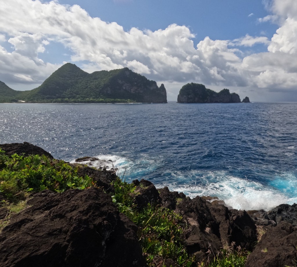
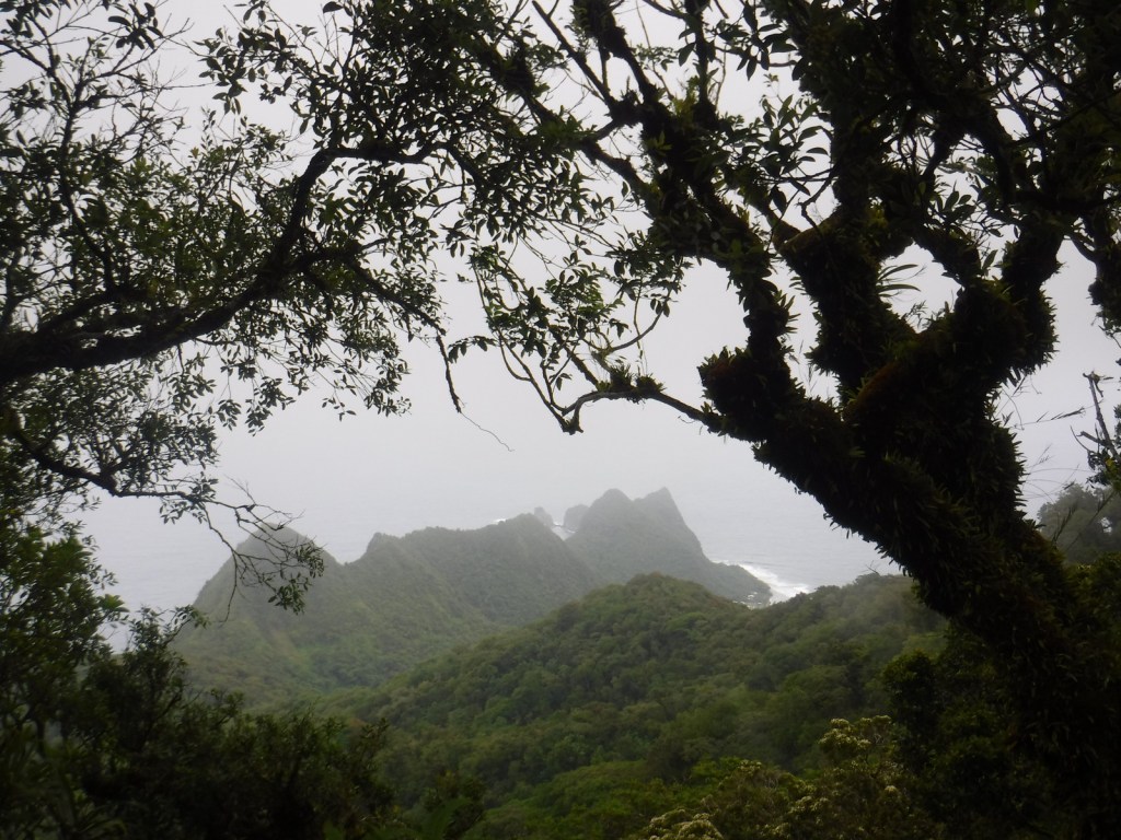
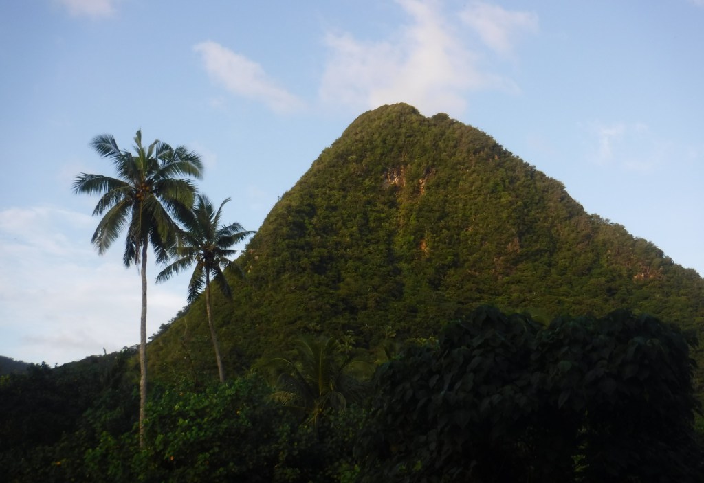
The only U.S. territory located south of the equator, American Samoa is home to a National Park unlike any other in the National Park Service system. In 1900, the U.S. Navy Governor outlawed the sale of land to non-Samoans so the federal government leases the land for the park on three separate islands in the South Pacific Ocean. There are two flights per week to Pago Pago (on the island of Tutuila) from Honolulu, Hawai‘i on Mondays and Thursdays, and flights from Pago Pago to Ofu Island on Tuesdays and Thursdays (only reservable once you are in American Samoa). You would need to charter a boat from Ofu to nearby Ta‘ū Island to see the highest sea cliffs in the world.
Highlights
Mt. ‘Alava Trail, Tuafanua Trail, Pola Island Trail, Blunts Point Trail (outside park), Matafao Peak Trail (outside park), Fagatele Bay (outside park, currently closed), Lower Sauma Ridge Trail
Must-Do Activity
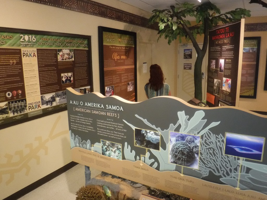
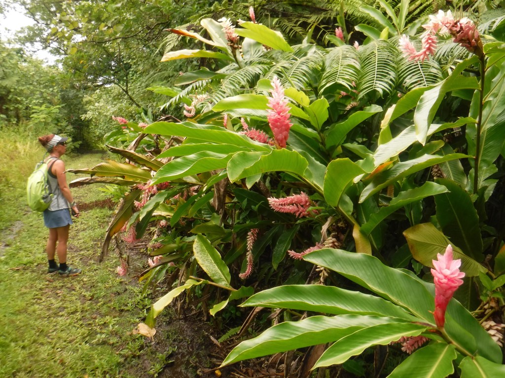
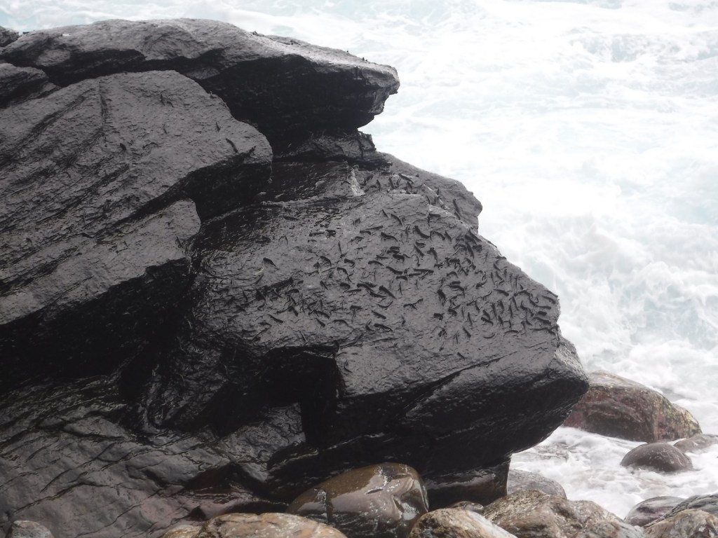
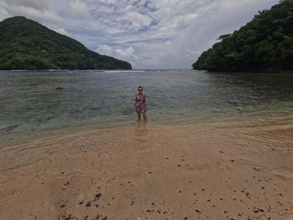
The best place to start is the visitor center in Pago Pago, where the park rangers can answer your questions and update you on what trails are currently open. Hiking is the only activity on Tutuila, at least with the waves as large as they were during our visit. We have heard there is good snorkeling right off the beach on Ofu, and we found good coral reefs in Utulei protected within Pago Pago Harbor (outside the National Park at Sadie’s by the Sea). The coral is very shallow in most places, so it is best to snorkel around high tide. Everything about this tropical forest is unique, but we were most fascinated by the fruit bats called flying foxes that are diurnal and have three-foot wingspans.
Best Trail
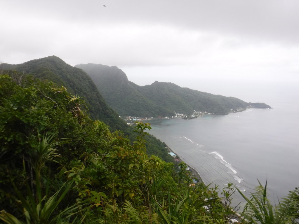
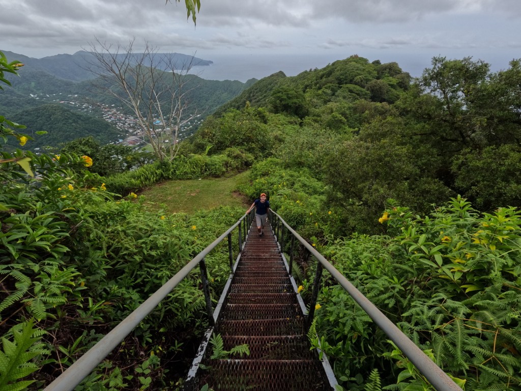
The Mt. ‘Alava Trail travels 3.4 miles one-way from Fagasā Pass on an old, rutted road to an incredible overlook of Pago Pago Harbor where an old tramway station sits rusting. If you continue along the ridgeline you immediately come to a “ladder” built into the slope with a knotted rope for dropping down the muddy hill, which is part of the Mt. ‘Alava Adventure Trail (which is partially closed and not a loop). This is the first of many ladders that descend the 1,610-foot mountain to the seaside village of Vatia. It would be difficult to find the trailhead from that side (it is basically in somebody’s backyard) and since there is not currently a bus to Vatia we rode in the bed of a pickup truck back to the main road in Aua.
Instagram-worthy Photo
The Lower Sauma Ridge Trail quickly drops down about 300 feet to an incredible view of Pola Island and Vai‘ava Strait National Natural Landmark.
Peak Season
Year round, but the Park Ranger we met said she recommends April after the rainy season ends
There is no entrance fee, but this is one of the most expensive National Parks to visit (a roundtrip plane ticket from Honolulu costs around $1,000 per person).
Road Conditions
All roads are paved except for the short stretch to the Pola Island Trailhead, which requires high clearance. There is no longer a bus that runs to Vatia, so you will need to rent a car to access the trails on the north side of the island, but we did catch a bus to Fagasā Pass for the Mt. ‘Alava Trail (and some buses run on Sunday despite what we were told).
Camping
There is no camping allowed in the National Park, but there are other accommodations on Tutuila (we stayed at an Airbnb in Mesepa). Since the COVID-19 pandemic, the National Park Service has not been able to get any families to volunteer for the Homestay Program that this park was once known for.
Related Sites
War in the Pacific National Historical Park (Guam)
Vatia VillageNPS visitor centerTiff inside the NPS visitor centerWWII gun covered in cane toads on the Blunts Point TrailTiff on the Mt. ‘Alava TrailTiff on the Matafao Peak TrailHealthy coral in UtuleiTiff on the Tuafanua TrailLeaping blemmiesFlying fox at sunsetTiff in Fagasa BayView from Mt. ‘Alava
Explore More –What tragic event occurred in 1980 that shut down the tramway across Pago Pago Harbor?
We are a participant in the Amazon Services LLC Associates Program, an affiliate advertising program designed to provide a means for us to earn fees by linking to Amazon.com and affiliated sites.
Start your U.S. National Parks, National Forests, and National Monuments adventure here!