Overview
This 4,300-acre park memorializes a battle fought early in the Civil War for control of the Union state of Missouri. It took place in March 1862, seven months after the events at Wilson’s Creek National Battlefield. Pea Ridge National Military Park is located near Fayetteville, Arkansas and also contains a section of the Trail of Tears National Historic Trail. Two regiments fighting on the Confederate side during the Battle of Pea Ridge were Cherokees that were forced to march to Indian Territory from North Carolina in 1838.

Highlights
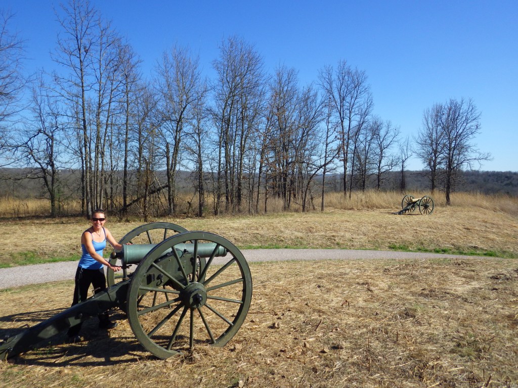
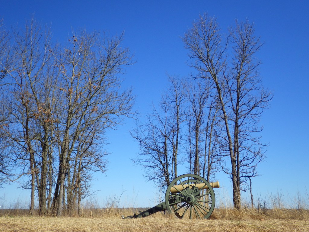
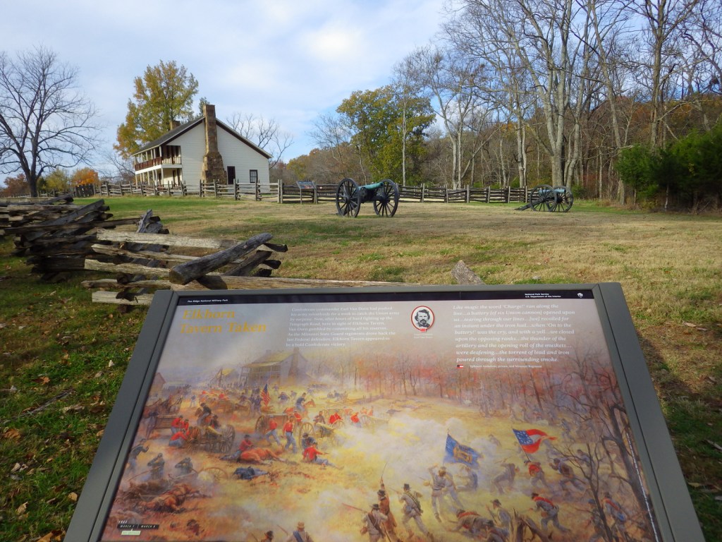
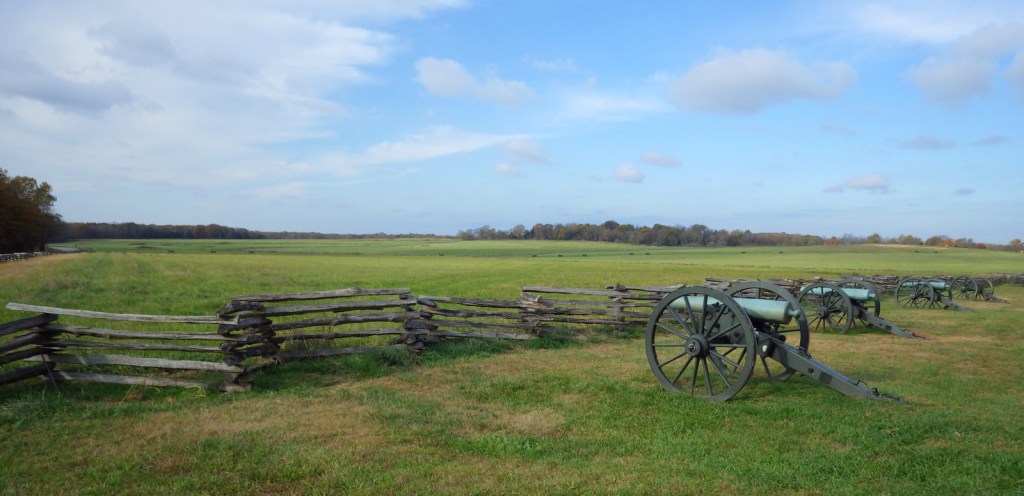
Museum, film, driving tour, Elkhorn Tavern, cannons
Must-Do Activity
A quality film and further exhibits at the visitor center help fill in any unclear parts about the battle on March 7-8, 1862 that kept Missouri in the Union. The seven-mile driving tour includes informational stops that explain the battle in chronological order from the Confederate assault at Leetown to their eventual retreat from Elkhorn Tavern.
Best Trail
There are ten miles of hiking trails and 11 miles of equestrian trails that run through the park. Also, a portion of the infamous Trail of Tears follows the route of the telegraph wire road from 1838. To learn more about the Trail of Tears National Historic Trail, we recommend a visit to Fort Smith National Historic Site, which is only a two-hour drive away.
Instagram-worthy Photo
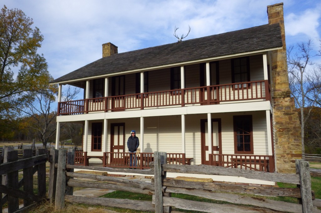
Stop to walk around a reconstruction of Elkhorn Tavern, which was used as a hospital by both sides during the battle and later as a Union telegraph station. The original building was burned by Confederate guerillas in 1863.
Peak Season
Summer
Hours
https://www.nps.gov/peri/planyourvisit/hours.htm
Fees
$20 per vehicle or America the Beautiful pass
Road Conditions
All roads paved
Camping
Beaver Reservoir is 20 miles away and has public campgrounds.
Related Sites
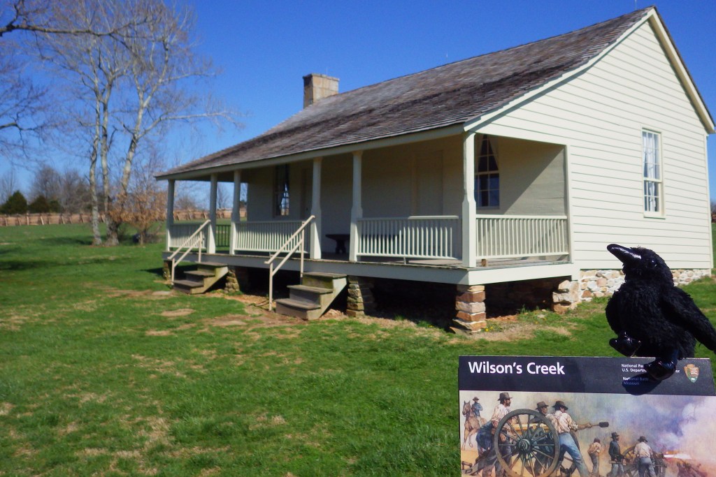
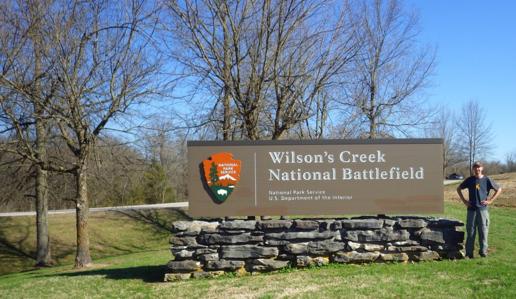
Wilson’s Creek National Battlefield (Missouri)
Buffalo National River (Arkansas)
Fort Smith National Historic Site (Arkansas-Oklahoma)


The driving tour is a one-way road popular with joggers 

Sweetgum tree 
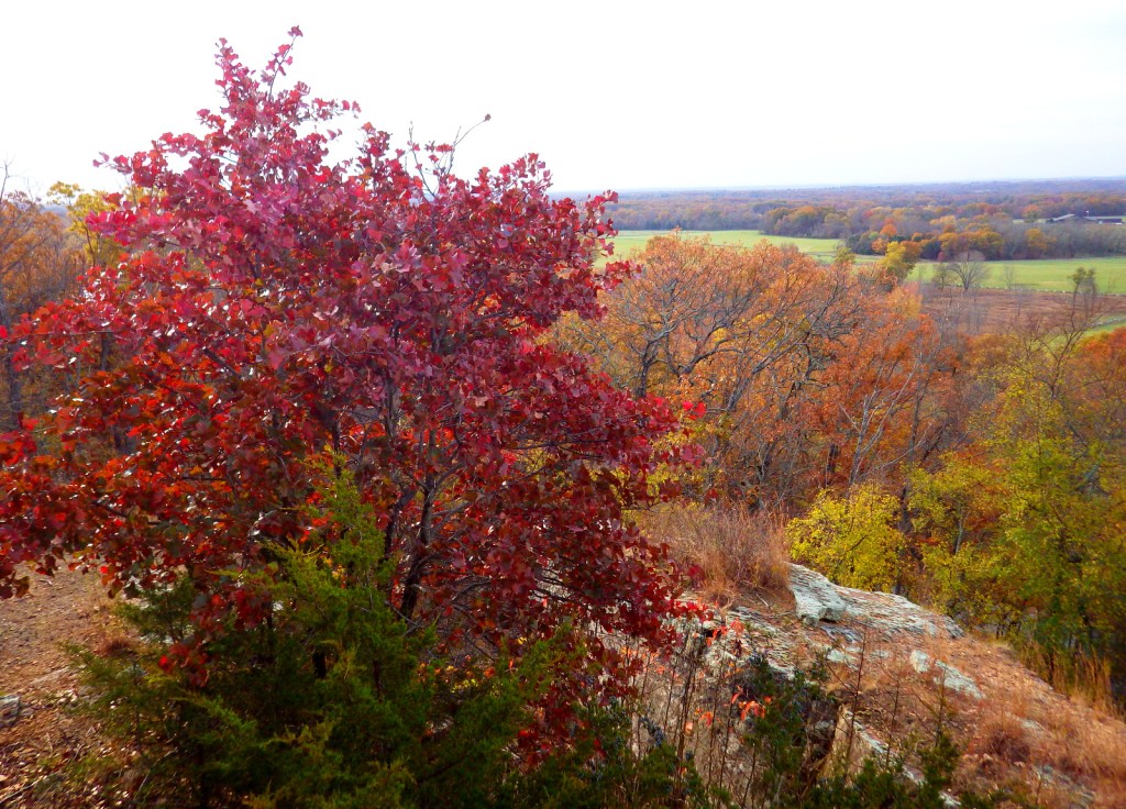
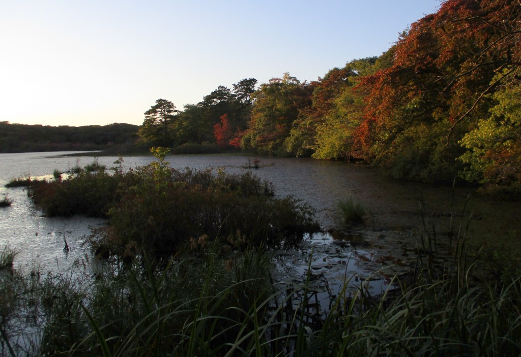
Fall colors were beautiful on the November morning we visited 


Raven about the park
Explore More – The Trail of Tears National Historic Trail has multiple routes; how long is it in total?