Overview
Herbert Hoover was raised in a Quaker community in West Branch, Iowa. After he was orphaned in 1884 at age nine, his uncle in Oregon took him in. Hoover’s 1895 geology degree from the recently-established Stanford University in California then took him around the globe. After eight years as Secretary of Commerce under Presidents Harding and Coolidge, he became President at exactly the wrong time in 1929, only nine months before the stock market crash. His years out of the spotlight were spent mostly on philanthropic work until his death in 1964.
Highlights
Historic buildings, museum, film, Tallgrass Prairie Trail
Must-Do Activity
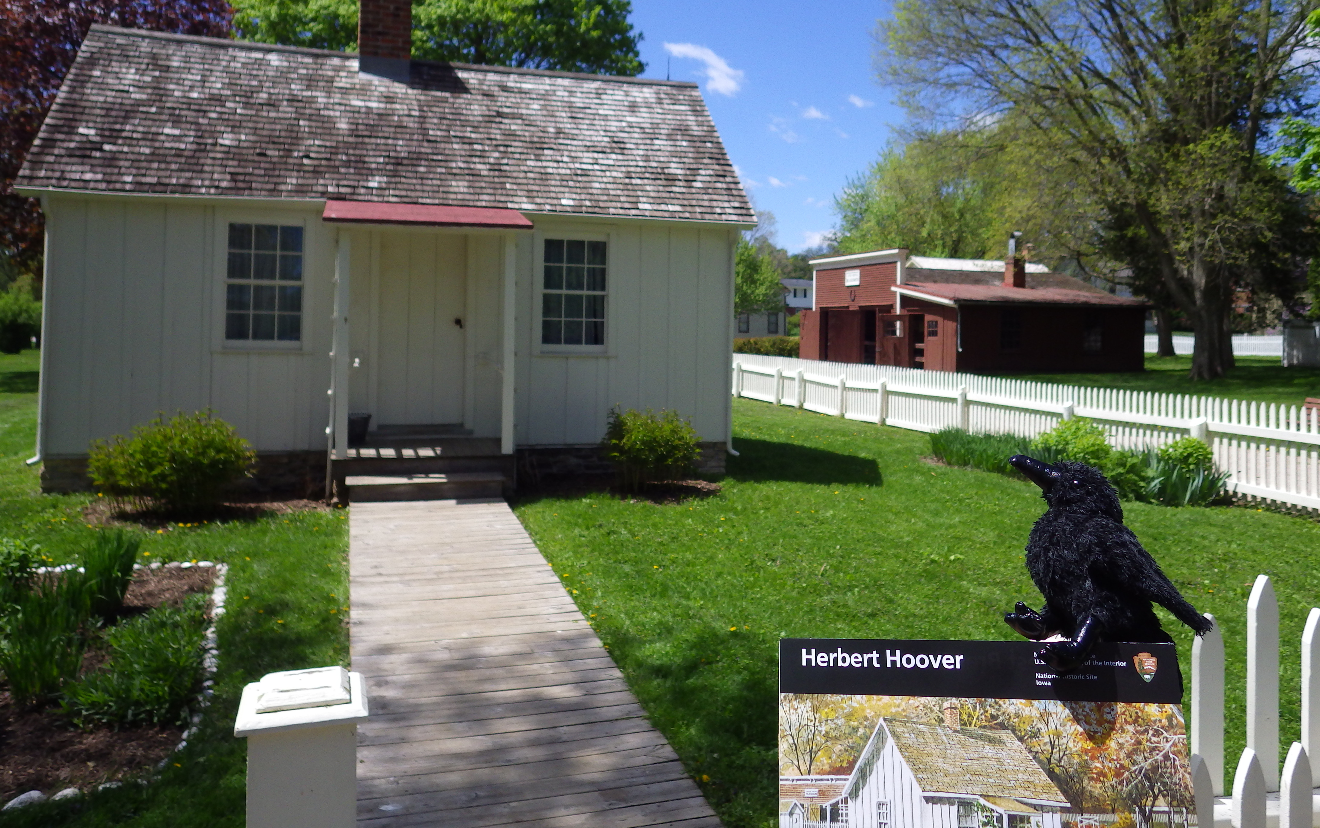
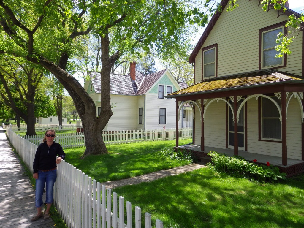
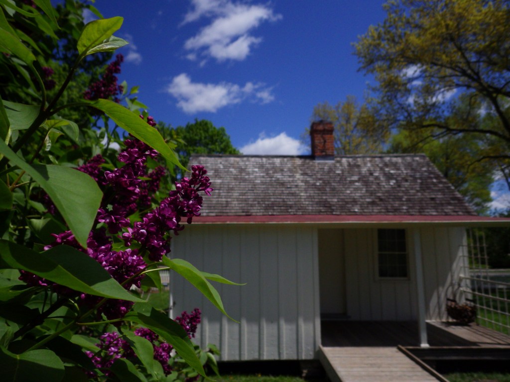
The National Park Service (NPS) runs a small visitor center and maintains several historic buildings on the 187-acre property in West Branch, Iowa. A walking tour includes the 14×20-foot cottage was where Bert was born in 1874, a blacksmith shop similar to the one his father ran, and a schoolhouse built in 1853 and moved many times before being relocated by the NPS in 1971. The gravesite of Herbert and his wife Lou Henry is also here.
Best Trail
2.2 miles of trails run through the tallgrass prairie south of Hoover’s gravesite. The prairie ecosystem was restored by the NPS starting in 1971 and contains the Isaac Miles Farmstead, contemporary to Hoover’s childhood here.
Instagram-worthy Photo
While Hoover was in London, World War I broke out and he helped organize a relief effort that gained him international fame. The citizens of Belgium gifted Hoover a statue of Isis, the Egyptian goddess of life, following the war.

Peak Season
Summer
Hours
https://www.nps.gov/heho/planyourvisit/hours.htm
Fees
None, but the nearby Presidential Library and Museum are not free.
Road Conditions
All roads paved
Camping
There are campgrounds around Lake McBride, 9 miles north of Iowa City.
Hoover’s birthplace home is wheelchair accessible 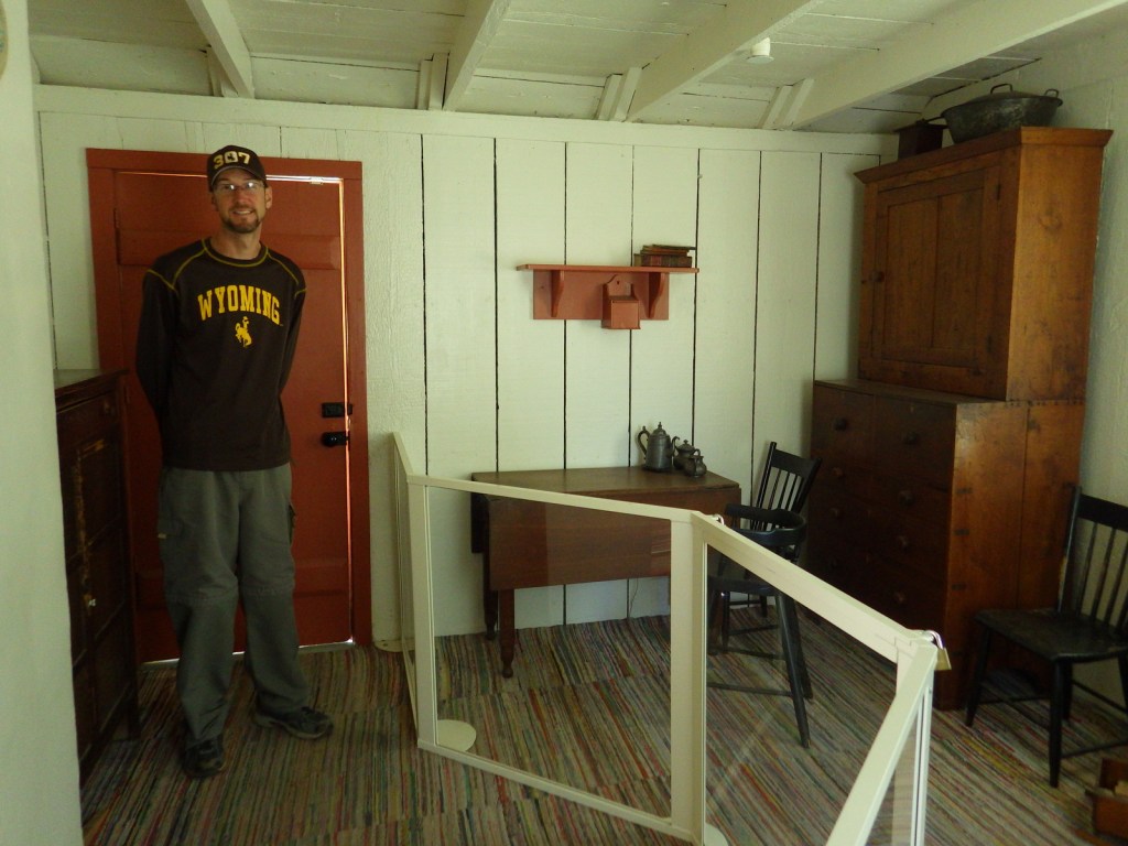
Scott inside the historic home 
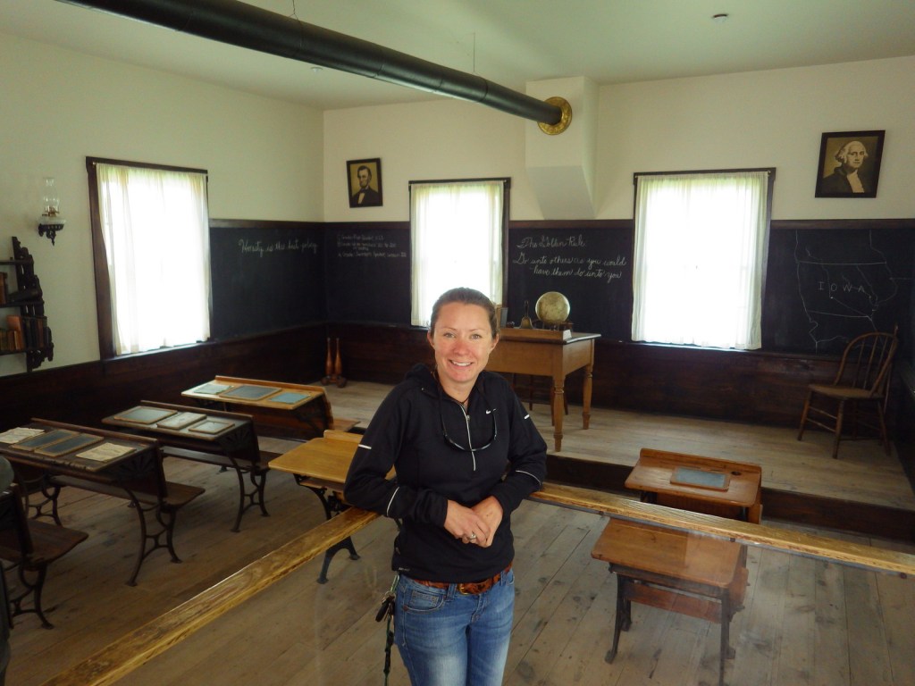
Tiff in the historic schoolhouse 

Inside the free NPS visitor center 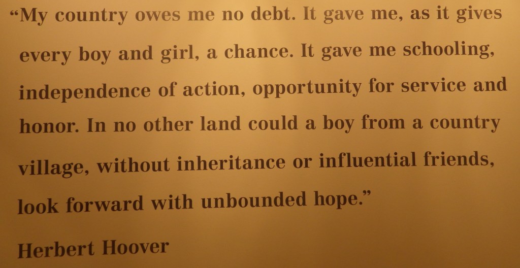
Explore More – Hoover was the first President born west of which major river?