Overview
Philadelphia, Pennsylvania is home to Independence National Historical Park, one of the most popular units in the National Park Service (NPS) System with approximately 5-million visitors annually. The “City of Brotherly Love” was the site of many important moments before, during, and after the American Revolution. Independence Hall is a World Heritage Site where the Declaration of Independence was adopted on July 4, 1776 and the U.S. Constitution was created in 1787.
Highlights
Liberty Bell, Independence Hall, City Tavern, Carpenters’ Hall, Ben Franklin’s grave
Must-Do Activity
We do not recommend watching the two films at the NPS visitor center, but plan to arrive early as the free timed tickets to tour Independence Hall are all claimed first thing each morning. It is free to enter the Liberty Bell Center to see the famous cracked bell. While waiting in the security screening line, you will be on the grounds of the house used by the country’s first two presidents, Washington and Adams. Less busy is Carpenters’ Hall, where the First Continental Congress met in 1774. Nearby non-NPS sites include the National Constitution Center, Benjamin Franklin Museum, and new Museum of the American Revolution, all of which charge an admission fee.
Best Trail
Walk the streets of Philadelphia past Ben Franklin’s grave, Betsy Ross’ house, the reconstructed City Tavern (where you can grab a bite to eat), and the Todd House (the home of Dolley Madison and her first husband).
Instagram-worthy Photo
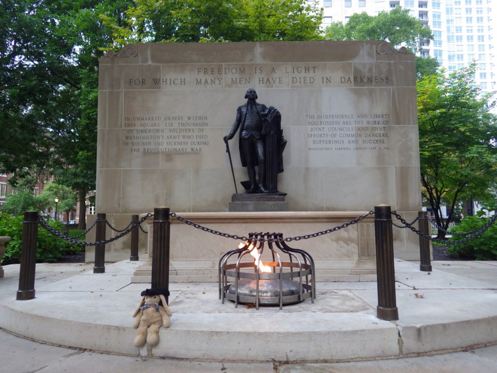
Less iconic than the Liberty Bell and Independence Hall, Washington Square is a small park that contains to the Tomb of the Unknown Soldier of the American Revolution.
Peak Season
Summer
Hours
https://www.nps.gov/inde/planyourvisit/hours.htm
Fees
None, except for parking (there is an underground parking garage at the NPS visitor center) and visiting some museums and historic buildings (like Betsy Ross’ house).
Road Conditions
All roads paved, but street parking is limited.
Camping
None in Philadelphia, Pennsylvania, but there are options in its suburbs.
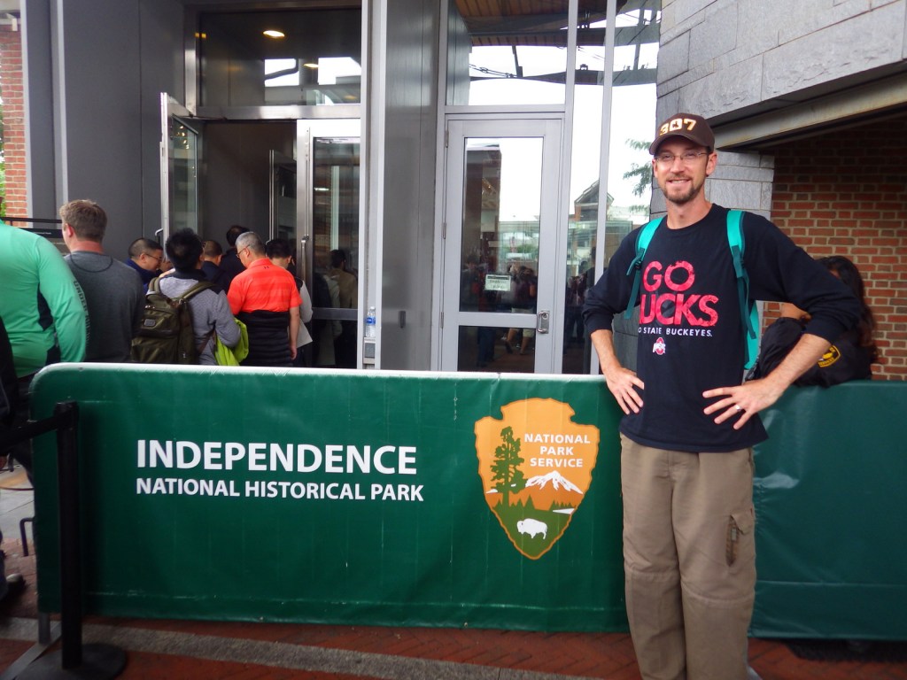
Scott in the security line for the Liberty Bell Center 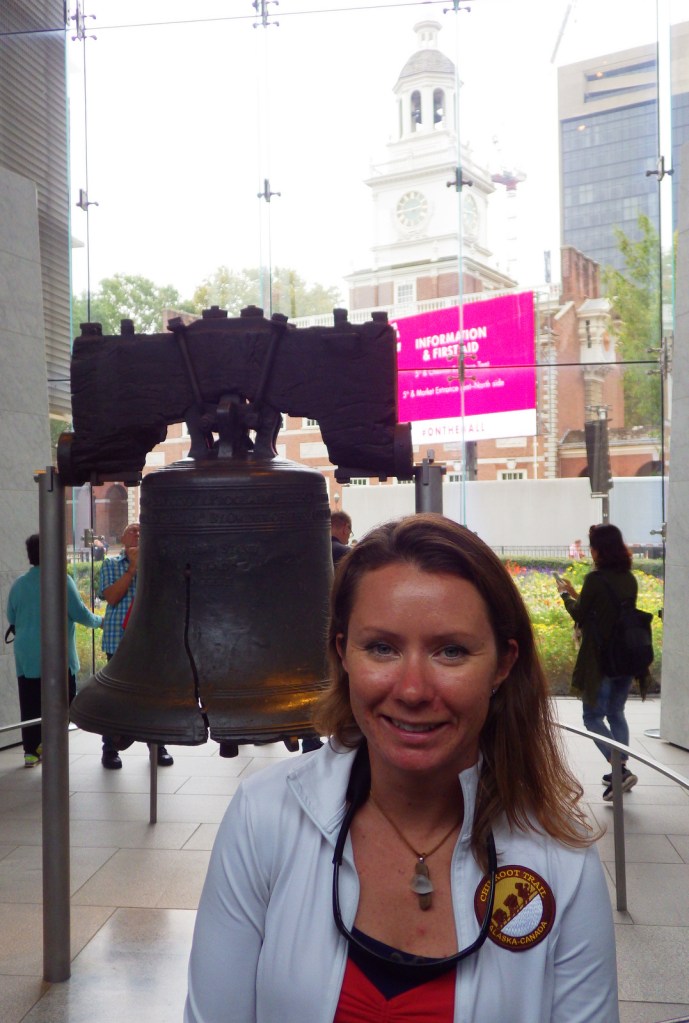
Tiff with the Liberty Bell 
Grounds of the house of the country’s first two presidents, Washington and Adams . 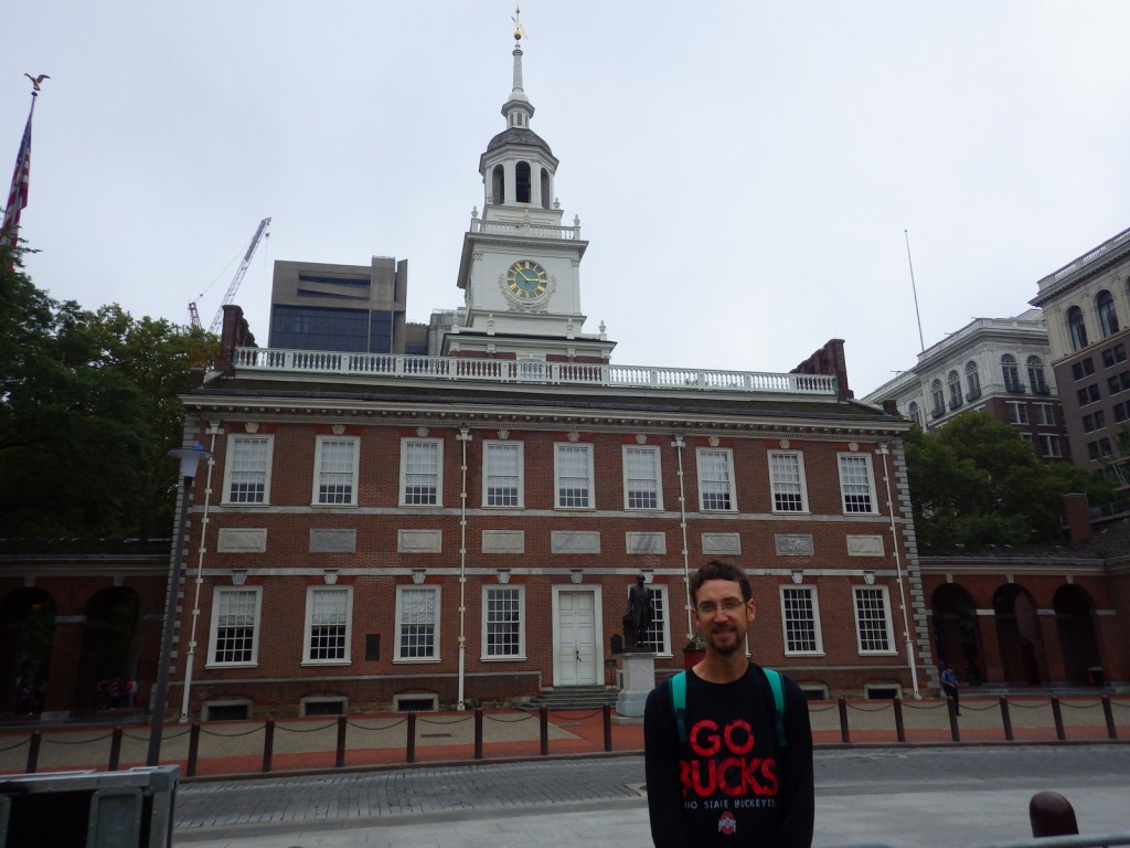
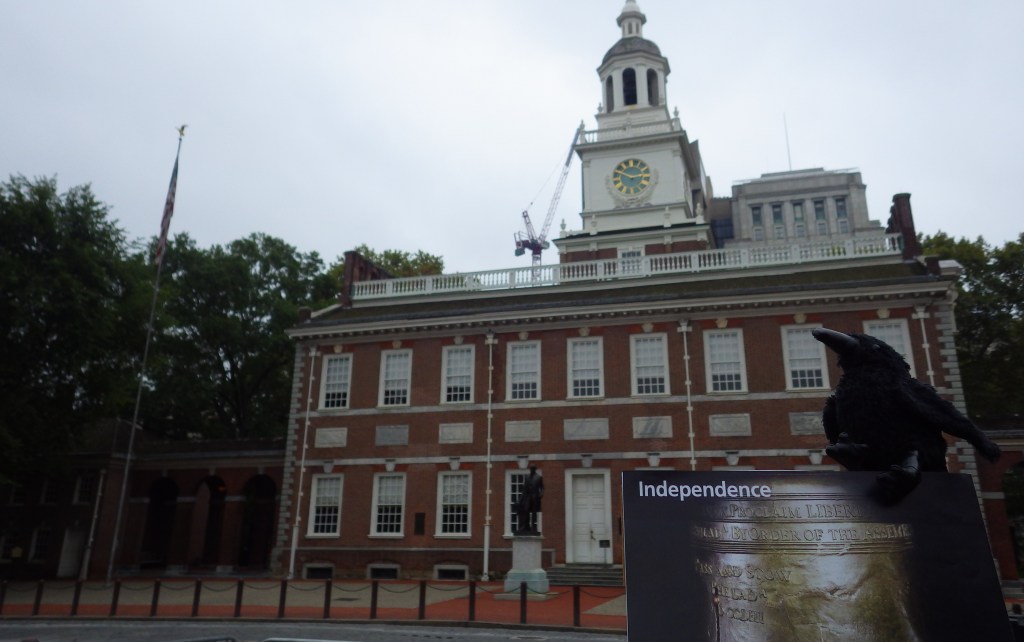
Scott outside Independence Hall 
Our founding fathers used to hang out at the City Tavern 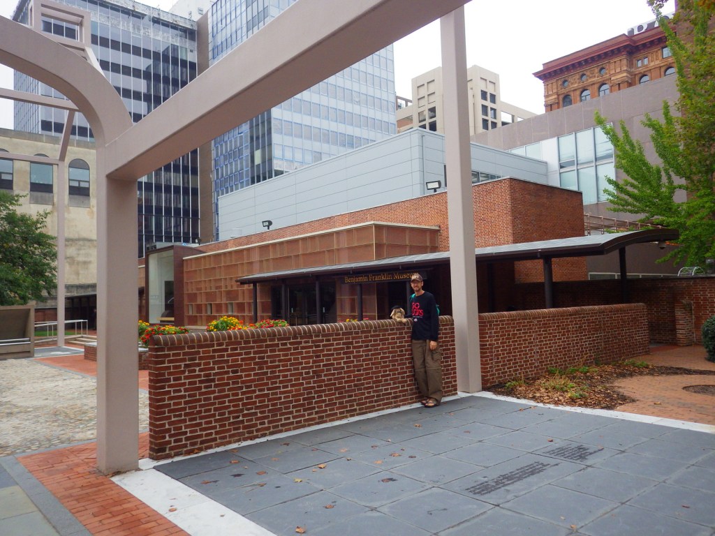
The site of Ben Franklin’s house next to the Benjamin Franklin Museum . 
Tiff outside Betsy Ross’ house (not run by the NPS) 
Fountain in Washington Square 
Tiff next to Ben Franklin’s grave
Explore More – When did Philadelphia serve as the nation’s capital?