Overview
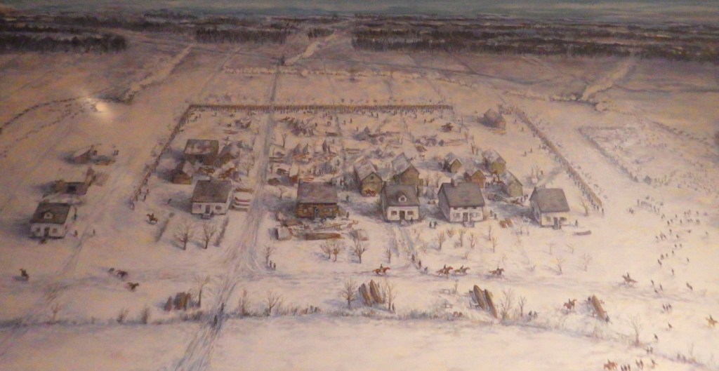
Along a segment of the Arkansas River serving as a border with Oklahoma, Fort Smith is a lovely 35-acre park surrounded by a bustling downtown and busy railroad track. The first fort at this site was established in 1817 to assist in the Cherokee relocation at the end of the Trail of Tears. A second fort was built nearby in 1838, occupied by both sides during the Civil War, then closed in 1871 when it became a Federal Court.

Highlights
Museum, restored courtroom, “Hell-on-the-Border” jail, Arkansas River
Must-Do Activity
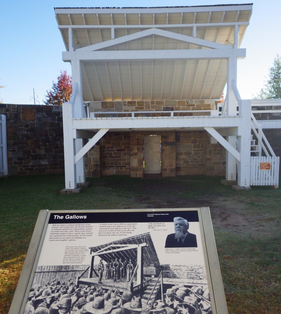
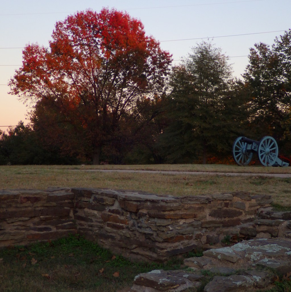
The exhibits here demonstrate the harsh prison conditions and tell harrowing stories of frontier life that will make you cringe. Do not miss the “Hell-on-the-Border” jail in the basement and the restored courtroom. Outside, a reproduction of the gallows and several cannon emplacements provide a counterpoint to the idyllic riverfront setting.
Best Trail
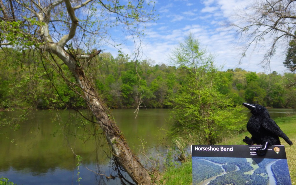
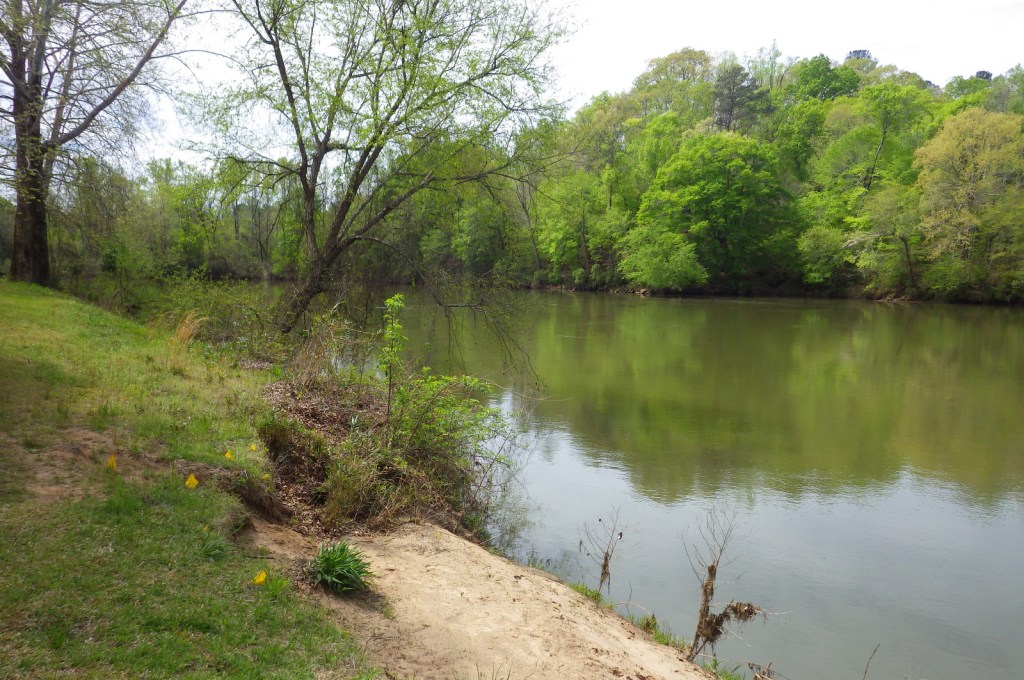
A half-mile trail crosses the railroad tracks to the banks of the Arkansas River. The scenic beauty of the shoreline at sunset belies the turbulent history of this place, including its connection with the Trail of Tears, designated a National Historic Trail.
Instagram-worthy Photo
Take a photo in the painstakingly restored courtroom where Judge Isaac C. Parker heard 12,000 criminal cases during his 21 years on the bench in the late 1800s. He sentenced 160 persons to hang, and 79 executions took place right here at Fort Smith.

Peak Season
Spring and fall
Hours
https://www.nps.gov/fosm/planyourvisit/hours.htm
Fees
$10 per person or America the Beautiful pass
Road Conditions
All roads are paved and there is free parking on site.
Camping
Two miles north of Barling, Arkansas, the U.S. Army Corps of Engineers manages a campground on the Arkansas River.
Related Sites
Arkansas Post National Memorial (Arkansas)
Fort Scott National Historic Site (Kansas)
Pea Ridge National Military Park (Arkansas)

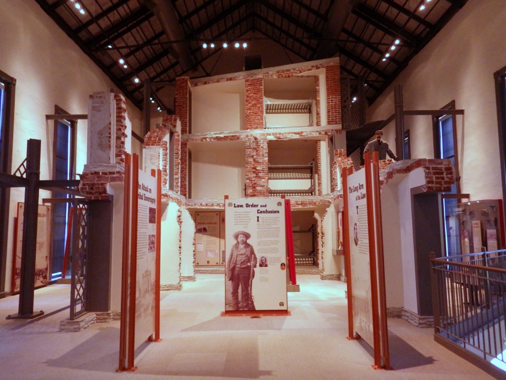

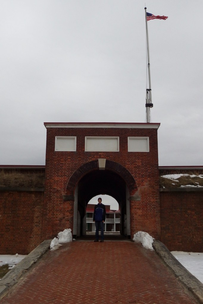
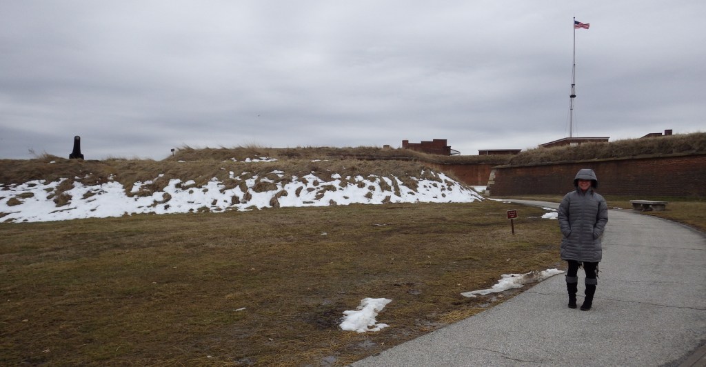
Scott inside the museum 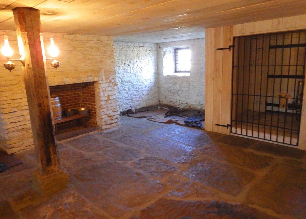
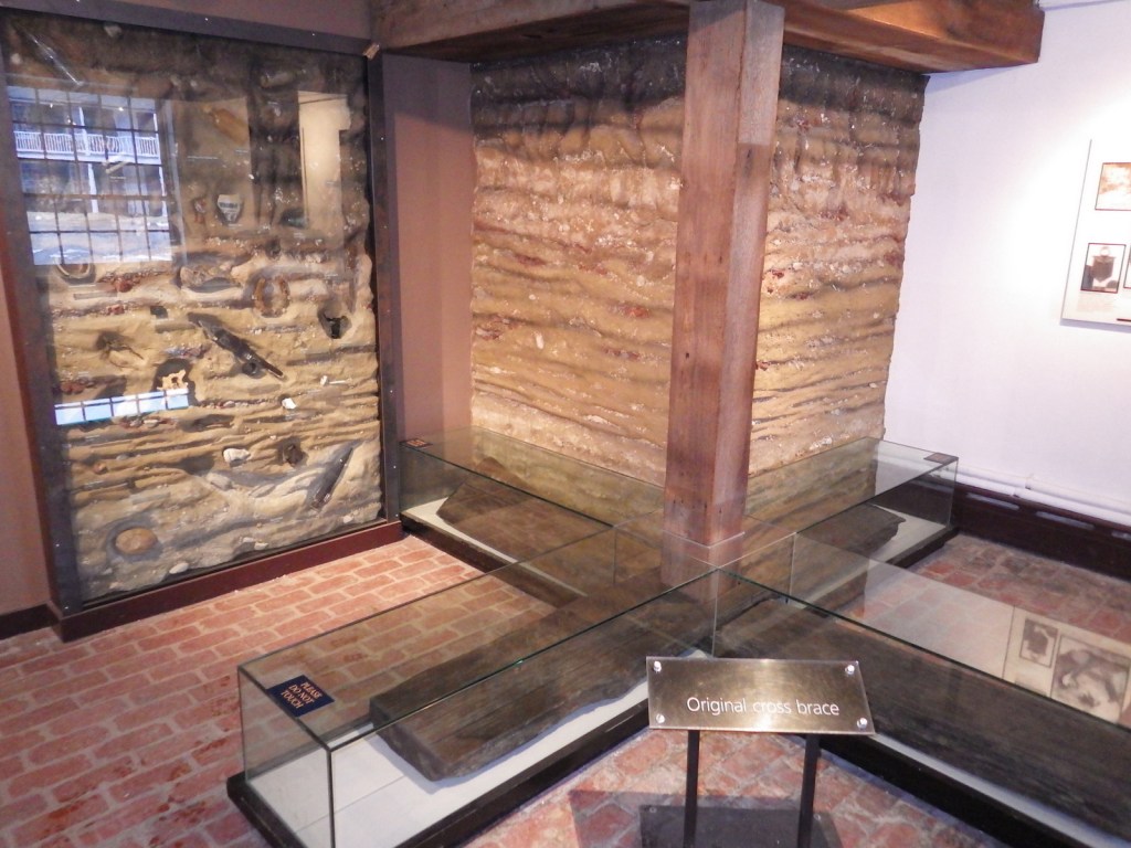
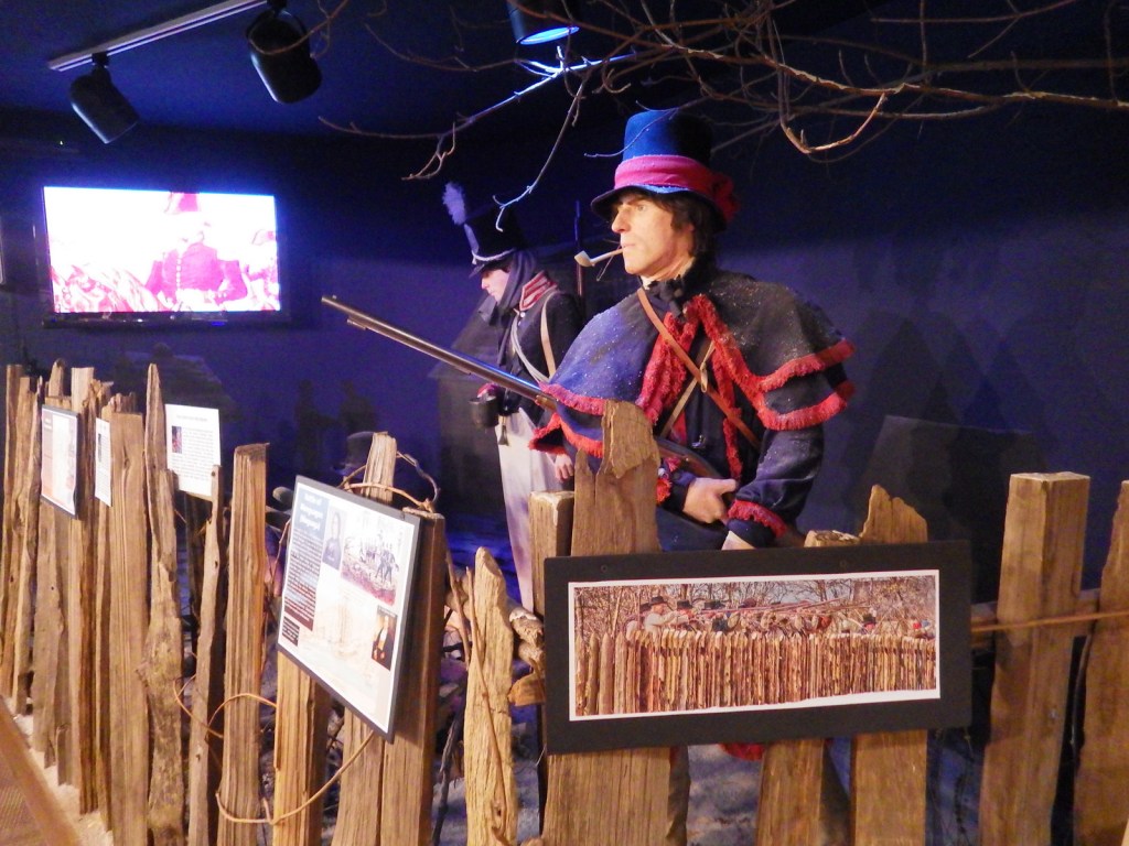
“Hell-on-the-Border” jail has an ominous feeling when you enter it. 

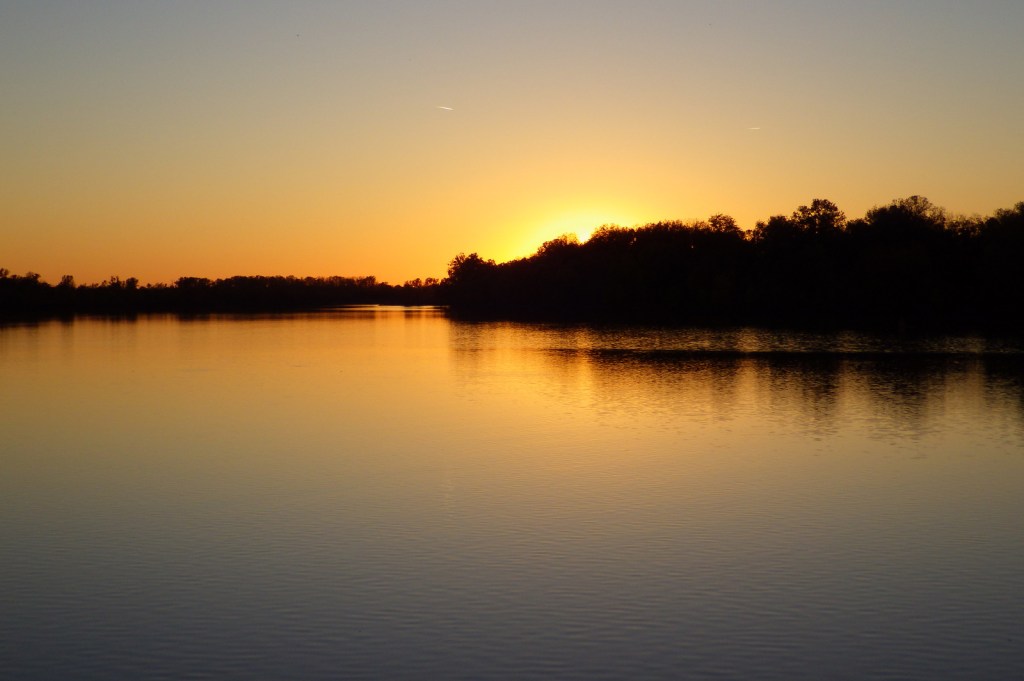
Sun setting over the Arkansas River—a great time to contemplate history in Fort Smith
Explore More – Fort Smith was established in 1817 to assist in the Cherokee relocation at the end of the Trail of Tears, but what American Indian tribe already inhabited this region?