Overview
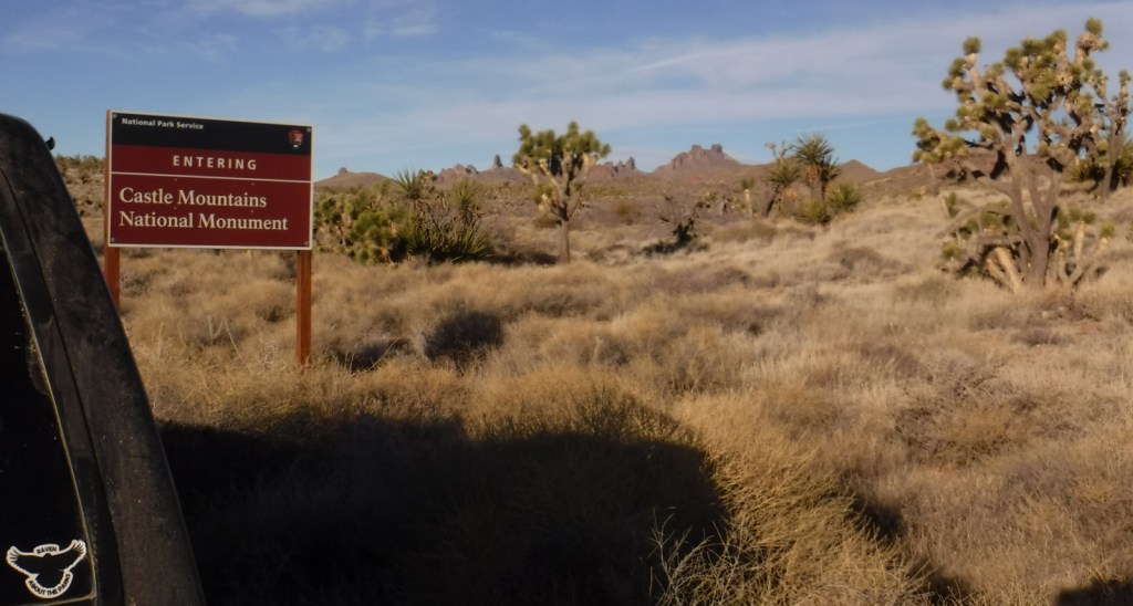
Designated in February 2016, this small monument borders Nevada and is surrounded by the much larger Mojave National Preserve on its other three sides. Its highest point is Hart Peak (5,543 feet), named for James Hart who discovered gold here in 1907 and founded a boomtown that reached 1,500 residents.
Highlights
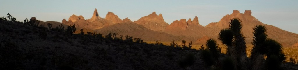
Hart Peak (5,543 feet), Hart Mine ghost town, view of Castle Peaks
Must-Do Activity
This new National Monument is undeveloped with no trails, no visitor center, and little signage. Drive or walk its network of dirt roads to get a feel for the Mojave Desert.
Best Trail
None
Instagram-worthy Photo
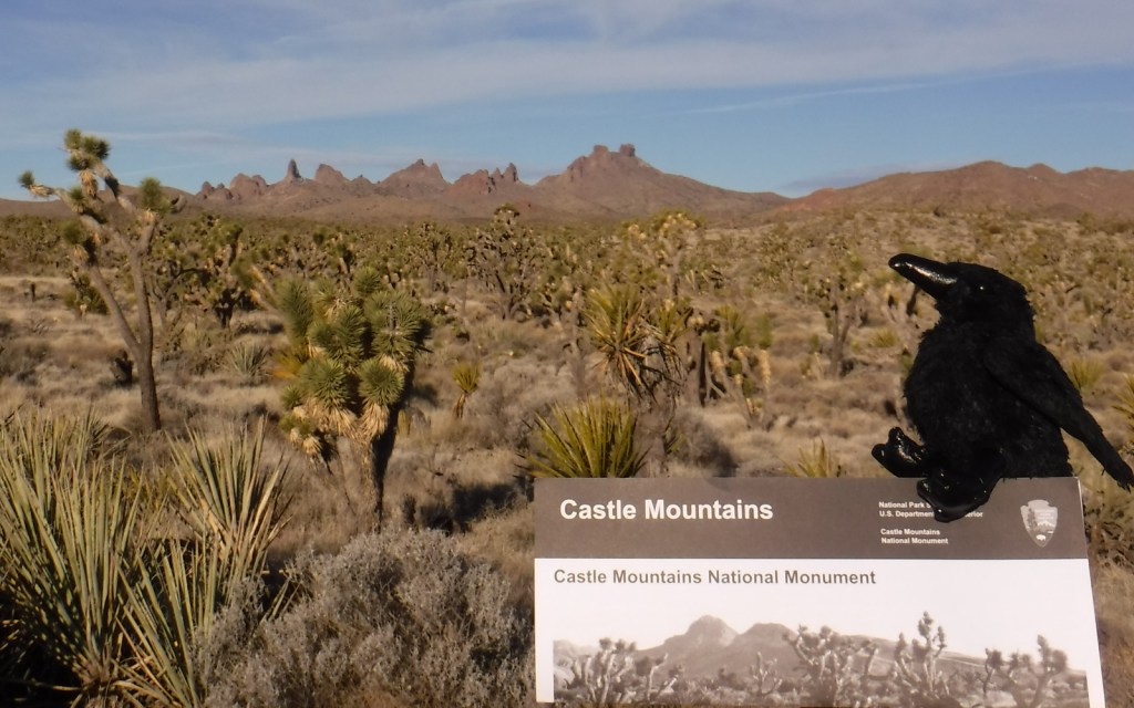
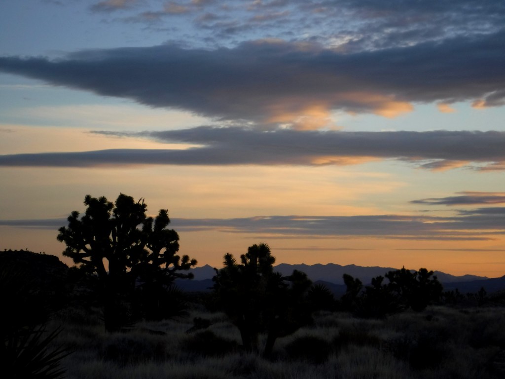
Joshua trees are always photogenic, especially when the jagged Castle Peaks are in the background (though they are outside the monument’s northern boundary within Mojave National Preserve).
Peak Season
Spring and fall
Hours
There are visitor centers in the adjacent Mojave National Preserve that have hours posted here:
https://www.nps.gov/moja/planyourvisit/visitorcenters.htm
Fees
None
Road Conditions
Walking Box Ranch Road is a groomed dirt road passable to any vehicle from Highway 164 west of Searchlight, Nevada. Access roads from Mojave National Preserve require high-clearance.
Camping
Dispersed camping is allowed within the monument. Hole-in-the-Wall Campground within Mojave National Preserve is accessible by paved road from Interstate 40.


It does snow in the Mojave Desert 
Rusty cans are evidence of historic human use 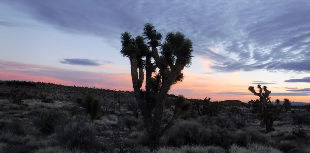
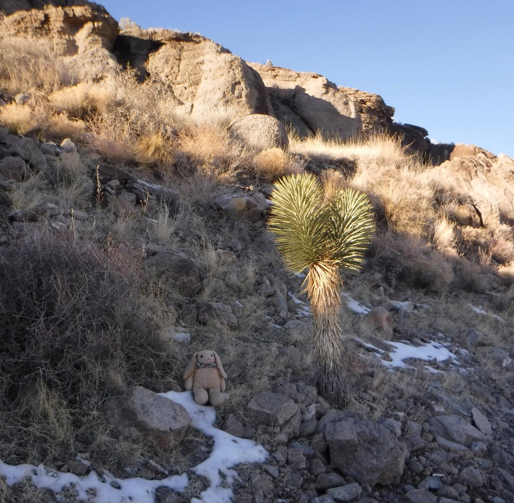
Raven About The Parks was here
Explore More – Piute Spring is charged by the aquifer within Castle Mountains National Monument; when researchers tested it, how long ago did its water fall as precipitation?