Overview
Gustavus, Alaska (population 400) is the gateway to Glacier Bay National Park and Preserve, and can be accessed by air or ferry from Juneau. Some large cruise ships include the bay on their Inside Passage itinerary, but to get closer and really hear the thunder of cracking Margerie Glacier it is better to take a daytrip aboard a smaller catamaran from the docks at Glacier Bay Lodge. Guided multi-day kayaking trips are one way to have a wild experience more similar to John Muir’s 1879 exploration detailed in his book Travels in Alaska. Learn more in our guidebook to the 62 National Parks, A Park to Yourself: Finding Adventure in America’s National Parks (available on Amazon).

Highlights
Sitakaday Narrows, Bartlett River Trail, Margerie Glacier, wildlife
Must-Do Activity
Vacation packages including boat tickets, meals, and a private cabin at the lodge are reasonably priced through the National Park Service (NPS) concessionaire. Shortly after departing on your all-day boat tour you will see humpback whales in the Sitakaday Narrows, then up the bay are Steller sea lions, harbor seals, and a variety of seabirds. By scanning the cliffs you might also spot mountain goats and brown bears. The boat turns around at Margerie Glacier, a great place to witness the thunderous calving of a tidewater glacier, an experience that should be on everyone’s bucket list.
Best Trail
On the days you are not on the boat, there are several trails around Glacier Bay Lodge or you can explore the shoreline at low tide to see an assortment of marine life.
Instagram-worthy Photo
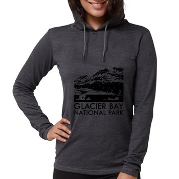
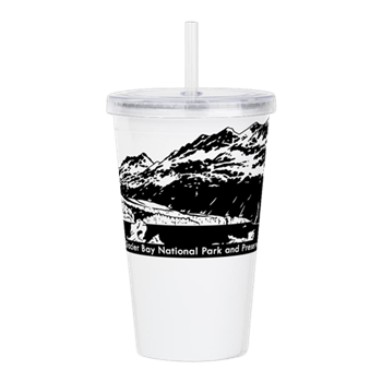
Lamplugh Glacier is not as active as Margerie Glacier, but may be more photogenic, which is why we chose to depict it in our logo for this National Park (see below).

Peak Season
Summer
Hours
https://www.nps.gov/glba/planyourvisit/hours.htm
Fees
None for the park, but this is not a cheap place to visit.
Road Conditions
There are no roads to Gustavus, Alaska, which is only accessible by airplane or boat. The NPS always sends a bus from Glacier Bay Lodge to pick up arrivals at the airport and ferry terminal.
Camping
There is a free NPS campground near Glacier Bay Lodge if you bring your own supplies.
Related Sites
Sitka National Historical Park (Alaska)
Wrangell-St. Elias National Park and Preserve (Alaska)
Kenai Fjords National Park (Alaska)

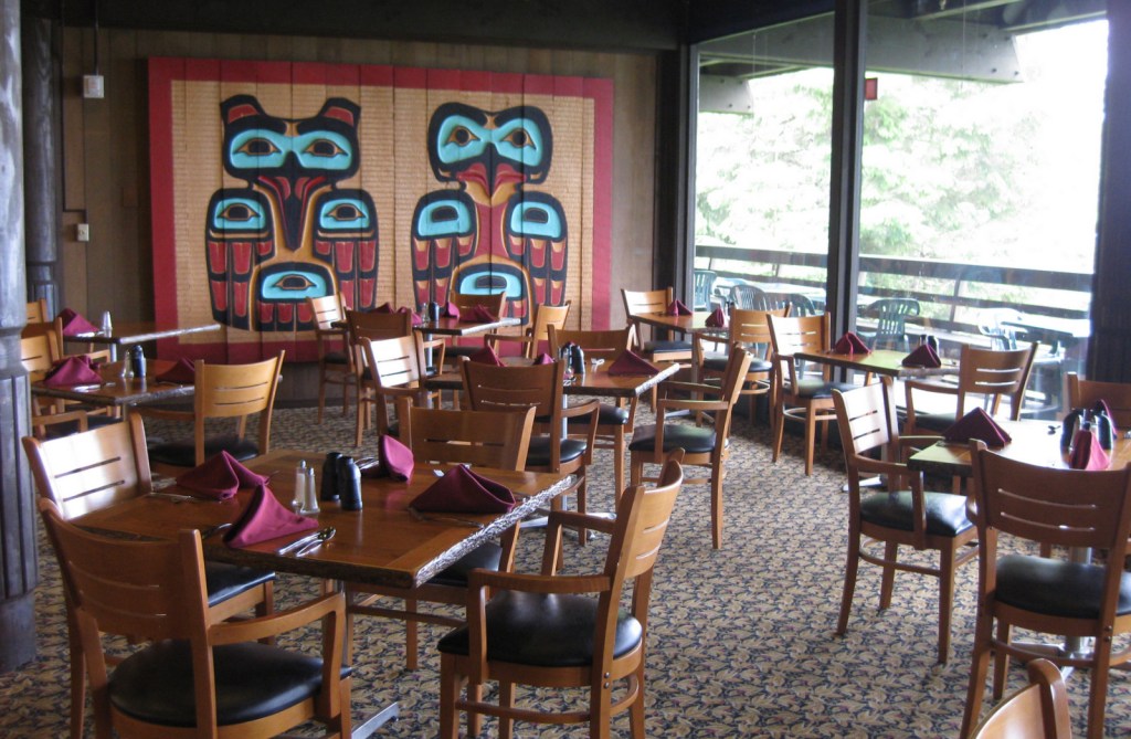
Inside the dining room at Glacier Bay Lodge 
Mt. Fairweather seen from Bartlett Cove 
Tiff on a nature trail near the NPS visitor center 
Humpback whale in Sitakaday Narrows 
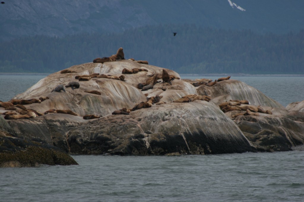
Sea lions 
Margerie Glacier 

Harbor seal 
Scott exploring the tidepools at low tide 
Gustavus, Alaska near the ferry dock

Explore More – Glacier Bay was named a National Monument in 1925 and was expanded to become the largest NPS site (at the time) in 1939, but when was it finally designated a National Park?


We are a participant in the Amazon Services LLC Associates Program, an affiliate advertising program designed to provide a means for us to earn fees by linking to Amazon.com and affiliated sites.