Saguaro National Park
Arizona
Managed by National Park Service
Established 1933 National Monument, 1994 National Park
91,716 acres
Website: nps.gov/sagu
Overview
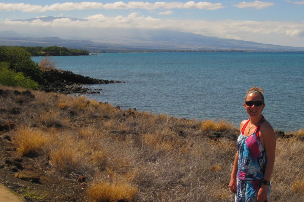
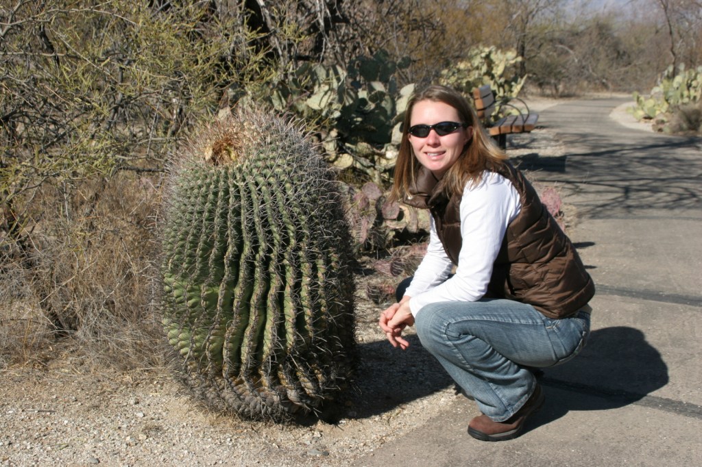
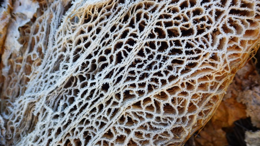
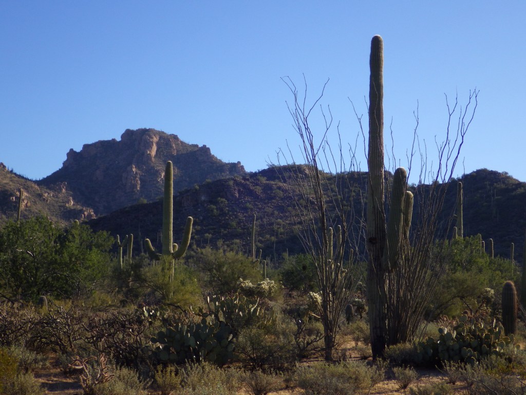
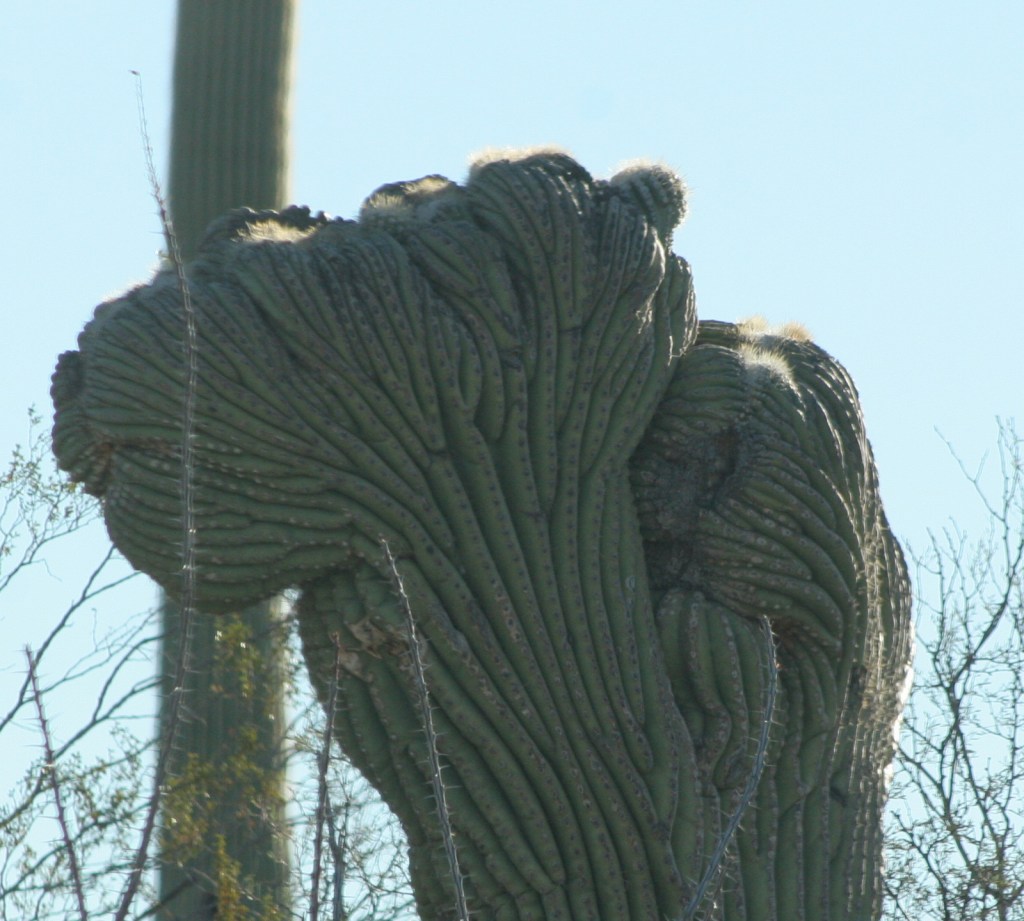
The only U.S. National Park within the expansive Sonoran Desert is divided into two separate districts east and west of Tucson, Arizona. Its namesake cactus can reach 50 feet in height and weigh more than 16,000 pounds when swelled with water during the rainy season. Saguaros do not typically branch their first arms until age seventy-five and they can live over 200 years. They share their home with other cacti that have cuddly names like teddybear cholla, hedgehog, barrel, staghorn cholla, and prickly pear.
Know someone who loves National Parks? Gift them our travel guide A Park to Yourself: Finding Solitude in America’s 63 National Parks.

Highlights
Cactus Forest Drive, Desert Ecology Trail, Scenic Bajada Loop Drive, Desert Discovery Nature Trail
Must-Do Activity
There are National Park Service (NPS) visitor centers in both the Rincon Mountain District and Tucson Mountain District. In each district, opportunities for visitors include scenic drives, handicap-accessible nature trails, and more strenuous hiking options. Much of the wildlife is nocturnal in the hot desert, but watch for unique species like javelinas, ringtails, kangaroo rats, roadrunners, phainopeplas, desert tortoises, Gila monsters, and western diamondback rattlesnakes.
Best Trail
Hikers can find great overlooks of the surrounding mountains along the short Ridge View Trail in the eastern Rincon Mountain District of the park.
Instagram-worthy Photo
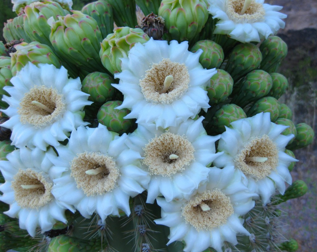
Winter is a great time to come to Saguaro National Park due to mild temperatures, but to see the desert in bloom the spring is best. Saguaros typically bloom in early June, though their large white blooms are hard to photograph at the top of the tall cacti where moths, bats, and other pollinators can find them.
Peak Season
Spring
Hours
https://www.nps.gov/sagu/planyourvisit/hours.htm
Fees
$25 per vehicle or America the Beautiful pass
Road Conditions
In the Rincon Mountain District the Cactus Forest Drive is all paved, but in the Tucson Mountain District the Scenic Bajada Loop Drive is mostly a graded gravel road.
Camping
Only backcountry camping in designated sites (with a permit) is allowed in the National Park, but campgrounds are available at Tucson Mountain County Park just outside the western district and throughout Coronado National Forest which borders the eastern district.
Related Sites
Organ Pipe Cactus National Monument (Arizona)
Tumacacori National Historical Park (Arizona)
Chiricahua National Monument (Arizona)


Explore More – Tohono O’odham Indians utilized saguaro fruit for jam, syrup, and wine; at what age do the cacti start flowering?

Know someone who loves National Parks? Gift them our travel guide A Park to Yourself: Finding Solitude in America’s 63 National Parks.