Delta National Forest
Mississippi
Managed by U.S. Forest Service, Southern Region
118,150 acres (60,898 federal/ 57,252 other)
Website: https://www.fs.usda.gov/mississippi
Overview
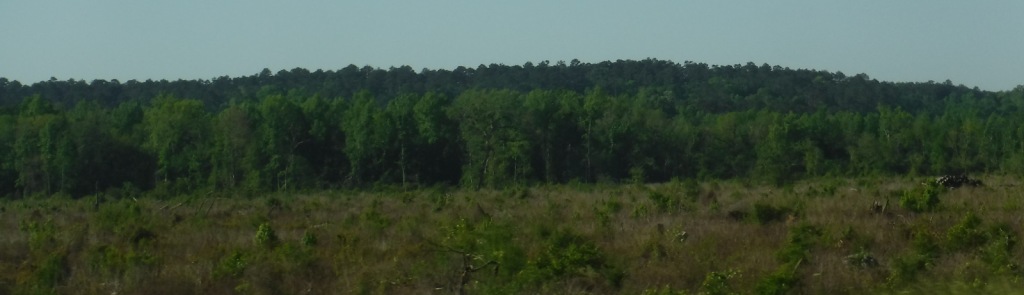
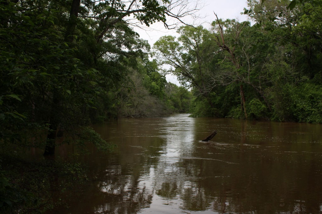
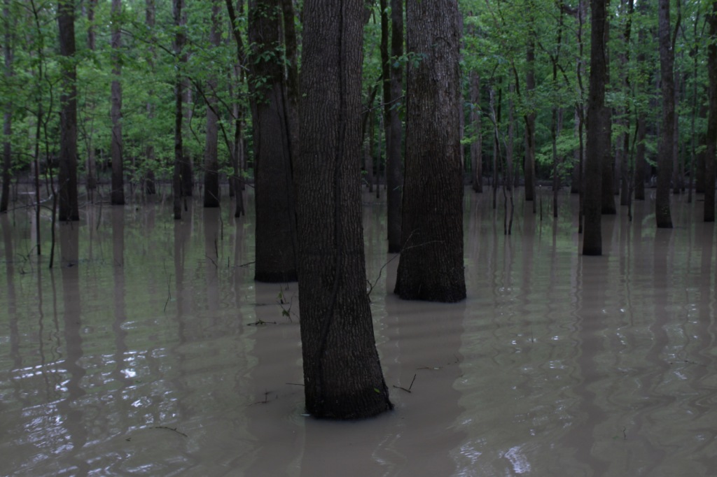
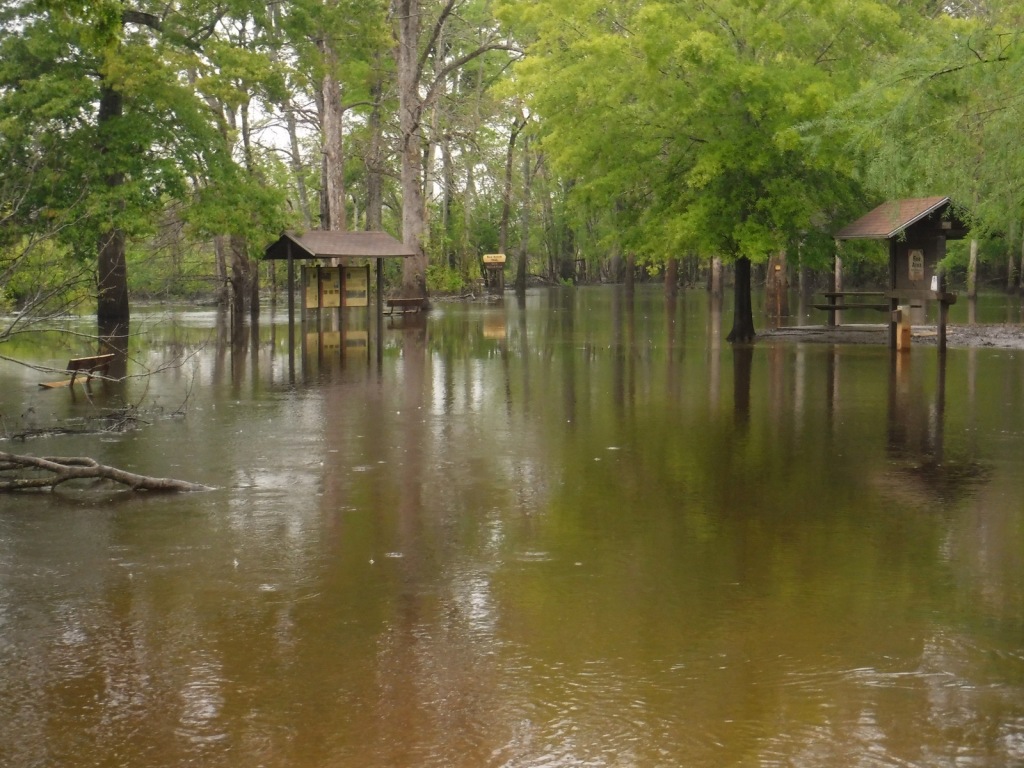
In western Mississippi, the U.S. Forest Service manages the entirety of Delta National Forest as Sunflower Wildlife Management Area through a Memorandum of Understanding with the state of Mississippi. The Big and Little Sunflower Rivers run through these bottomland hardwood forests west of the Yazoo River, flooding the landscape throughout the summer. This is the only National Forest preserving bottomland hardwood forests, which have primarily been converted to agriculture due to their rich soil. It was in Delta National Forest that the idea for the Teddy Bear was born in 1902, when President Theodore Roosevelt refused to shoot a tethered black bear while hunting.

Highlights
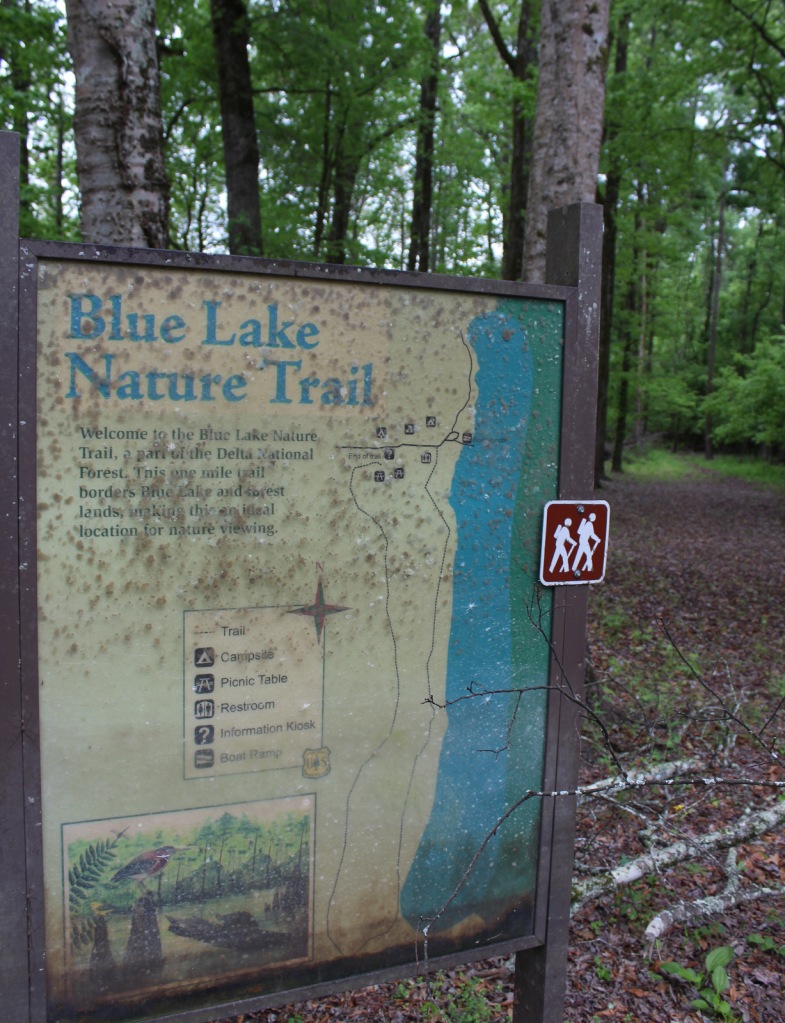
Blue Lake Recreation Area, Kay Cypress Tree, Lost Lake, Howlett Bayou, Green Ash-Overcup Oak-Sweetgum Research Natural Areas, Rock Bottom Trail
Must-Do Activity
This National Forest is unique because it is flooded throughout the summer, so it is primarily used from September through March. All vehicles must display a free Daily Visitor Use Permit and all ATV, horse, and bike riders must carry a pass (fee) on the multi-use trails. The Yazoo-Mississippi Delta (or simply “the Delta”) is a distinct section of western Mississippi renowned for its blues musicians. Throughout this area, there are blues clubs and museums dedicated to preserving the memories of Muddy Waters, B.B. King, Bessie Smith, and others.
Best Trail
Delta National Forest has two main developed areas at Blue Lake and the Little Sunflower River, with Blue Lake Nature Trail and Rock Bottom Trail found at these sites respectively. Both were flooded during our April visit, so in lieu of hiking, we opted to launch our inflatable kayak and paddle around Blue Lake to get up close to some huge baldcypress trees.
Watchable Wildlife
Declared National Natural Landmarks in 1976, the Green Ash-Overcup Oak-Sweetgum Research Natural Areas are rare examples of pristine bottomland hardwood forests. To improve wintering waterfowl conditions, three of the five greentree reservoirs are pumped and over 100 acres are planted as wildlife food plots. Established in 1978, the neighboring Panther Swamp National Wildlife Refuge is one of seven refuges in the Theodore Roosevelt National Wildlife Refuge Complex. The forest’s white-tailed deer herd is in very good condition, as are the numbers of wild turkeys, fox squirrels, swamp rabbits, river otters, raccoons, and American alligators. The forest is known for its 32 different species of butterflies that congregate in July, with an average population of 21,000.
Instagram-worthy Photo
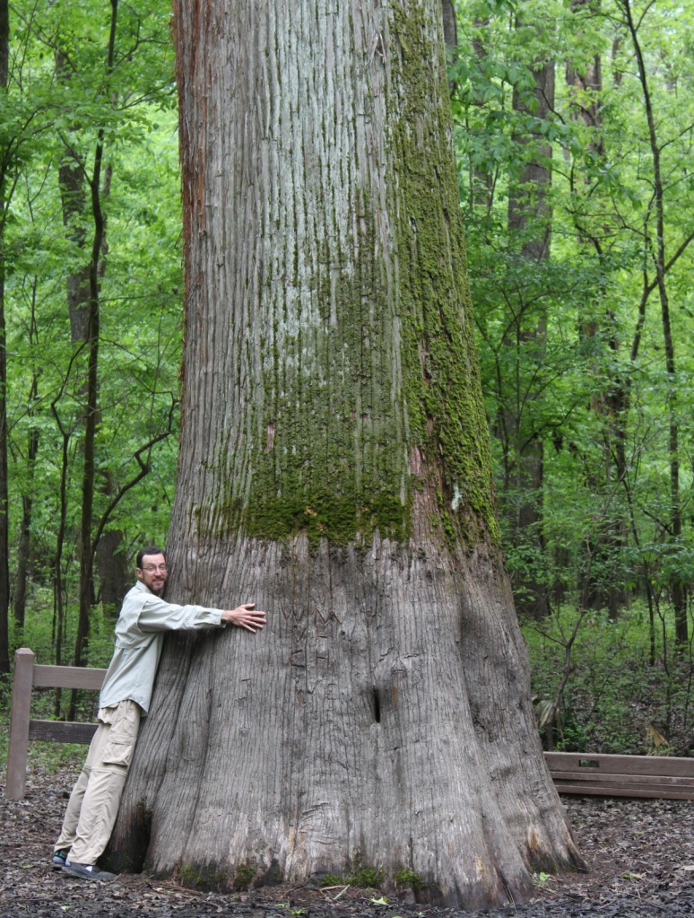
Across from Blue Lake on unpaved Fire Tower Road, be sure to stop at the Kay Cypress Tree, which is more than ten feet in diameter.
Peak Season
Winter
Fees
All vehicles in Sunflower Wildlife Management Area must display a free Daily Visitor Use Permit and all ATV, horse, and bike riders must carry a pass (fee) on the multi-use trails.
Road Conditions
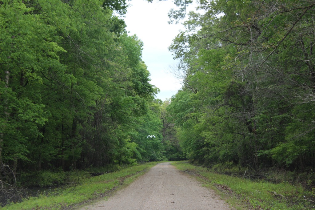
Fire Tower Road is unpaved, but was flat and above floodwater levels during our April visit, as was the road atop the dike along the Little Sunflower River.
Camping
Camping is only allowed at 57 primitive sites with a permit obtainable online ($7 per night fee).
Wilderness Areas
None
Related Sites
Bienville National Forest (Mississippi)
De Soto National Forest (Mississippi)
Vicksburg National Military Park (Mississippi)
Nearest National Park
Hot Springs


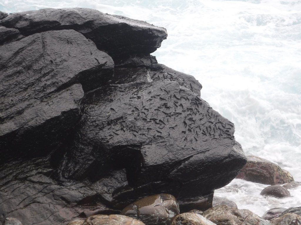
baldcypress
Nuttall’s oak, overcup oak, cherrybark oak, willow oak, water oak, bur oak, swamp chestnut oak, water hickory, sweetgum, boxelder, swamp red maple, American elm, green ash, sugarberry, September elm, honeylocust, pecan, black gum, red mulberry, persimmon, deciduous holly, swamp dogwood
Explore More – What was the name of the legendary hunting guide and woodsman who found and tied up the black bear that Teddy Roosevelt refused to shoot in 1902?

Learn more about this and the 154 other National Forests in our new guidebook Out in the Woods
We are a participant in the Amazon Services LLC Associates Program, an affiliate advertising program designed to provide a means for us to earn fees by linking to Amazon.com and affiliated sites.