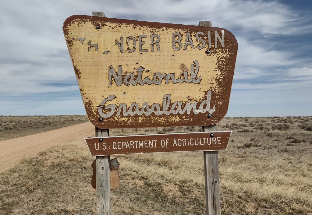
Thunder Basin National Grassland
Wyoming
Managed by U.S. Forest Service, Rocky Mountain Region
547,499 acres
Website: https://www.fs.usda.gov/r02/mbrtb/recreation/thunder-basin-national-grassland-0
Overview
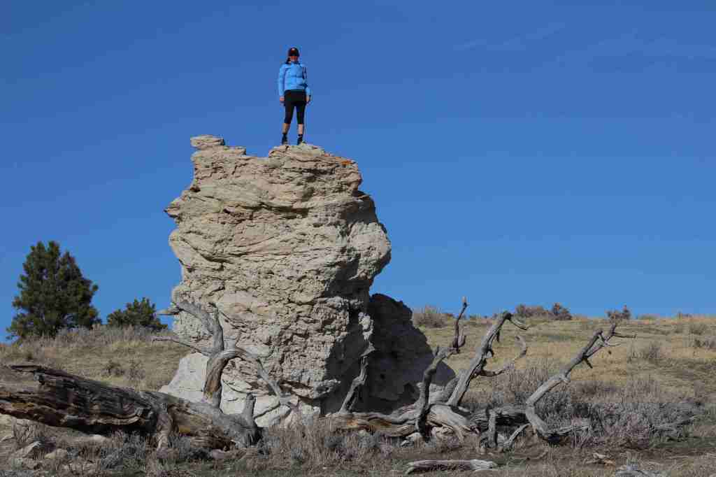
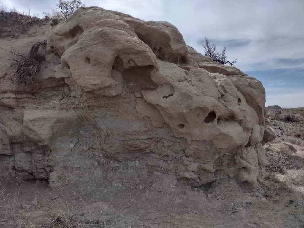
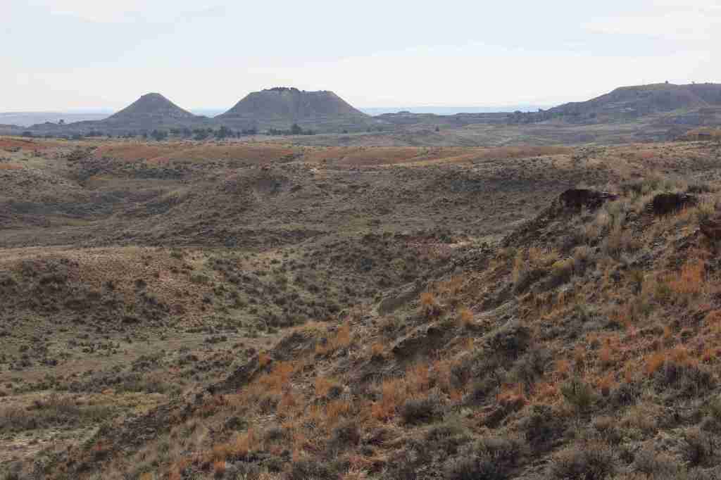
Thunder Basin is part of the Powder River Basin situated between the Big Horn Mountains and the Black Hills. Elevations in the National Grassland range from 3,600 to 5,200 feet in the transition zone between the Great Plains and sagebrush steppe. It was established in 1960 and is currently managed along with Routt and Medicine Bow National Forests. Its acreage is interspersed with private inholdings and areas run by the Bureau of Land Management.
Highlights
Weston Recreation Area, Soda Well Picnic Site, reservoirs
Must-Do Activity
Although Thunder Basin National Grassland is mostly undeveloped for tourists, Weston Recreation Area is located 30 miles north of Gillette off Highway 59 with at least 15 miles of Off-Highway Vehicle (OHV) trails. Fishing for warm water species like smallmouth bass and bluegill is possible at the following reservoirs: East Iron Creek, Kellogg, Little Powder, Little Thunder, Turner, and Weston (where there is a vault toilet). There is a picnic shelter at Soda Well, site of the ghost town of Weston, Wyoming.
Best Trail
The East Upton Trailhead and Kellogg Trailhead are both located in the northeastern-most corner of the National Grassland about two miles north of Upton. Generally, it is possible to hike cross-country wearing sturdy boots to avoid hidden prickly pear and hedgehog cacti. Be sure to wear bright colors during the various hunting seasons.
Watchable Wildlife
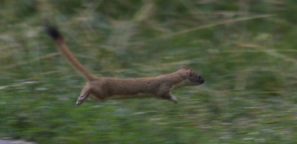
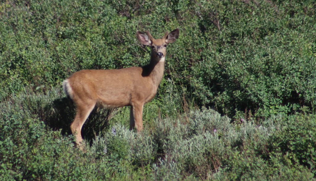
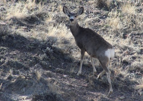
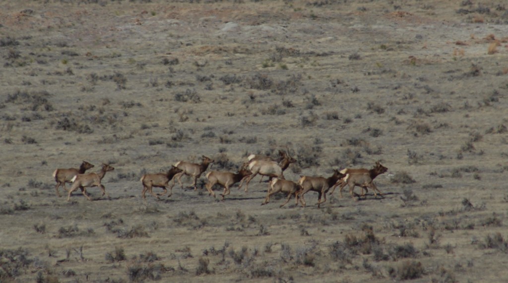
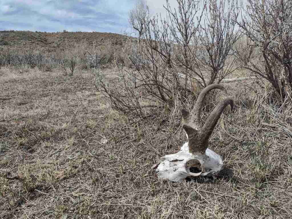
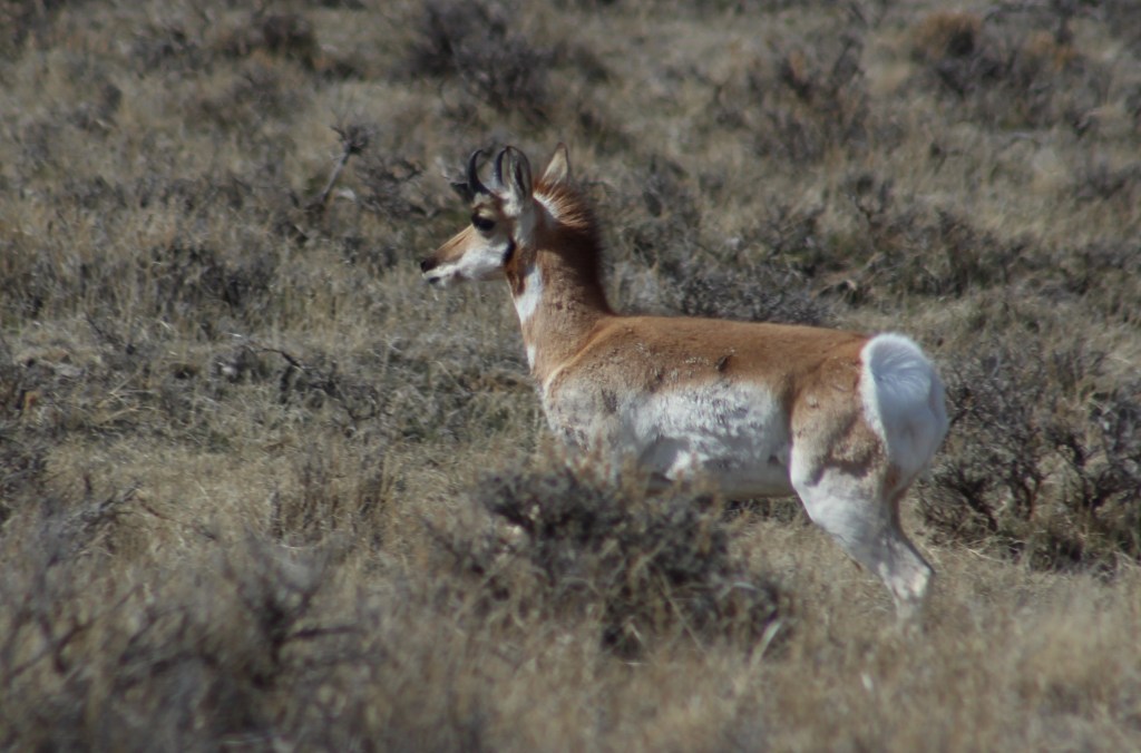
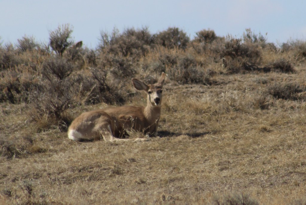
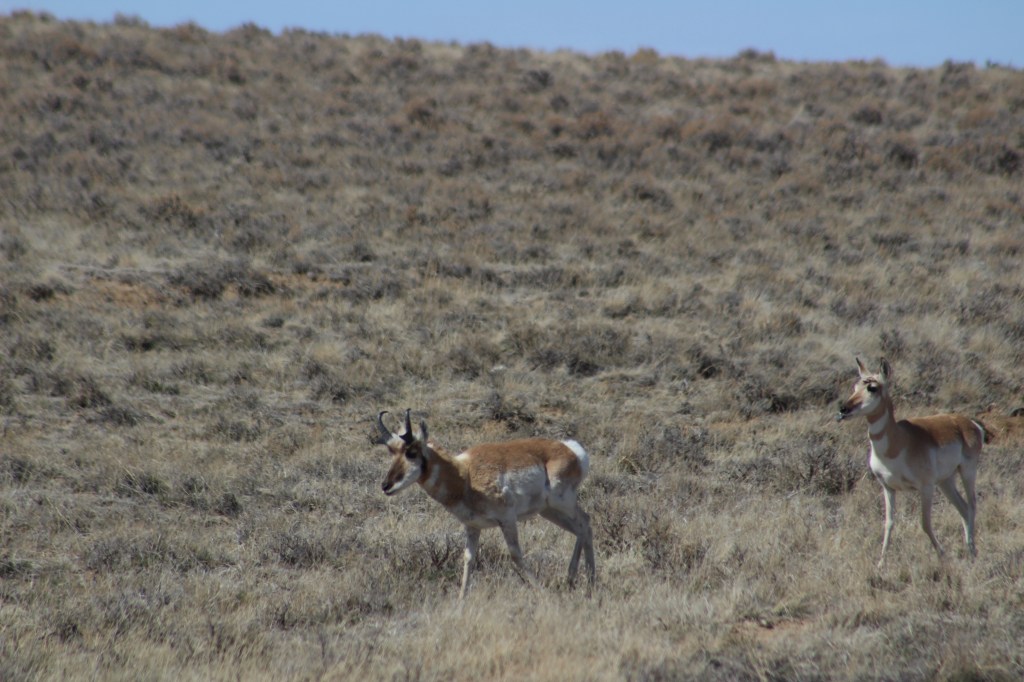
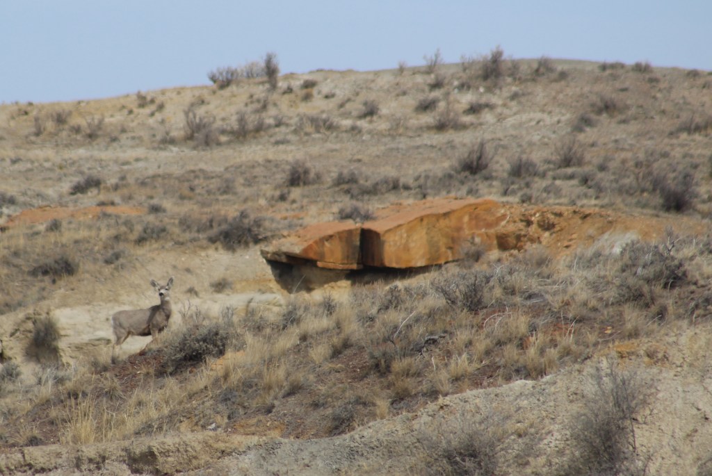
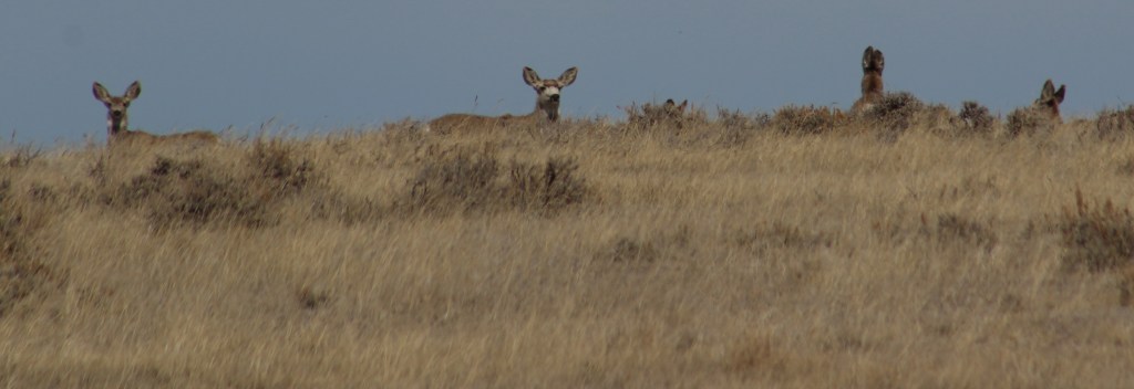
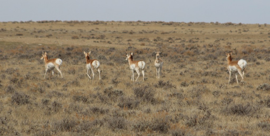
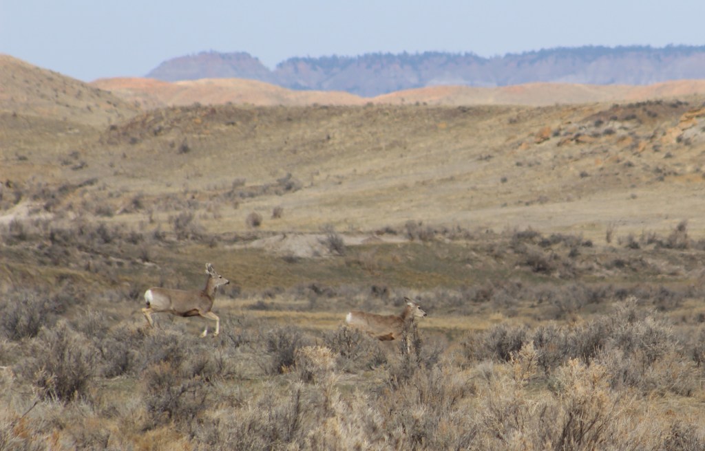
On our March visit to Thunder Basin National Grassland, we saw pronghorn, elk, and mule deer out grazing on the prairie. Small rodents are prevalent, including white-tailed jackrabbits, cottontail rabbits, kangaroo rats, thirteen-lined ground squirrels, and black-tailed prairie dogs, a keystone species whose burrows create habitat for burrowing owls, prairie rattlesnakes, mountain plovers, and endangered black-footed ferrets. Predatory mammals found here include the swift fox, red fox, badger, and coyote. Sagebrush cover may support sage grouse, a species of management concern.
Photographic Opportunity
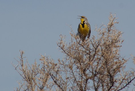
Early spring is a great time to visit to see large ungulates before they migrate to higher elevations and to hear the first mating calls of meadowlarks.
Peak Season
Spring
Fees
None
Road Conditions
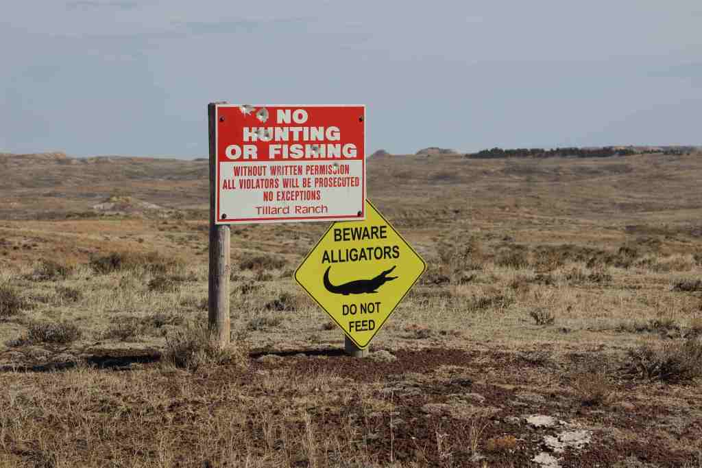
The unpaved roads we drove were graded and accessible to passenger vehicles, but that is probably not the case when they are wet.
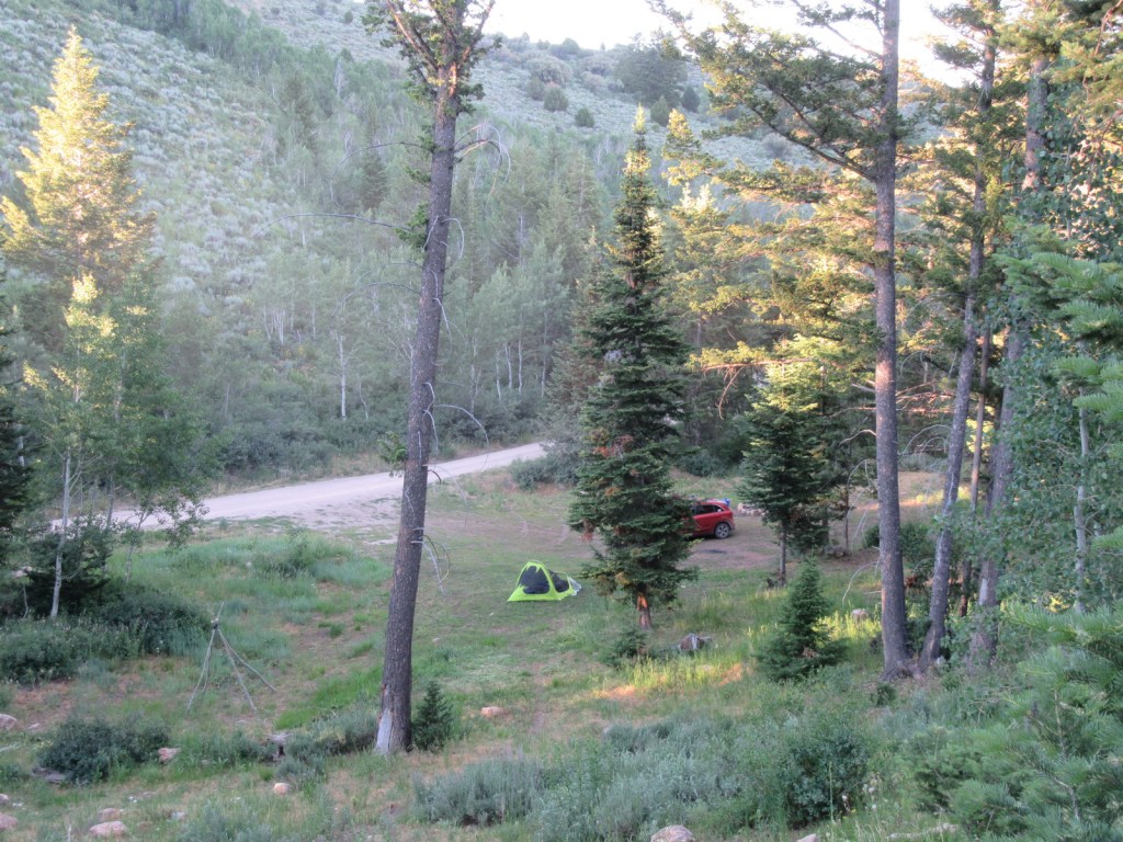
Camping
There are no developed campgrounds in this National Grassland, but dispersed camping is allowed on public land so use the app or get a good map to make sure you are not on the private land parcels interspersed throughout. The Forest Service website recommends camping along Forest Road 1246.
Related Sites
Devils Tower National Monument (Wyoming)
Black Hills National Forest (South Dakota)
Jewel Cave National Monument (South Dakota)
Nearest National Park


Explore More – In 2017, what infectious bacterial disease impacted 25,000 acres of prairie dog towns in the area?