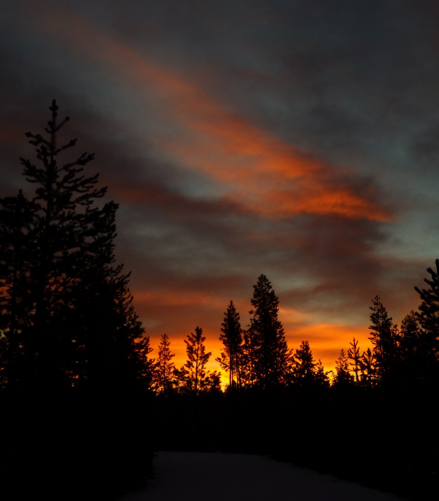
Newberry National Volcanic Monument
Oregon
Managed by U.S. Forest Service
Established 1990
54,822 acres
Website: https://www.fs.usda.gov/recarea/deschutes/recarea/?recid=66159
Overview
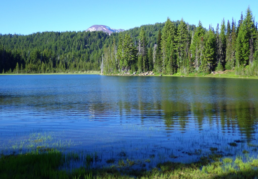
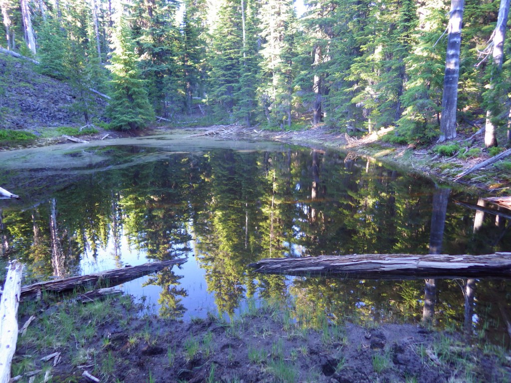
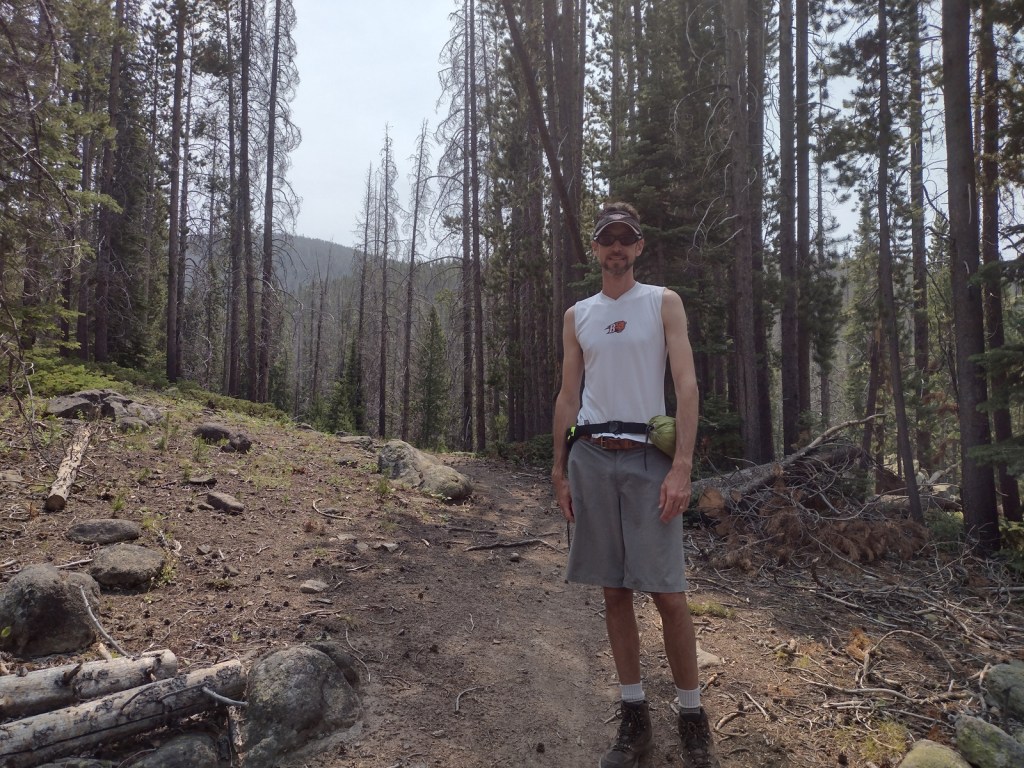
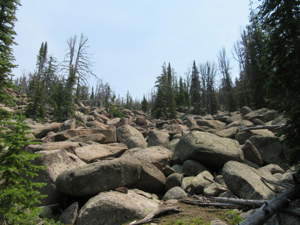
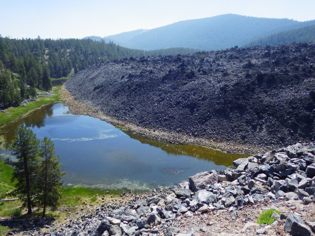
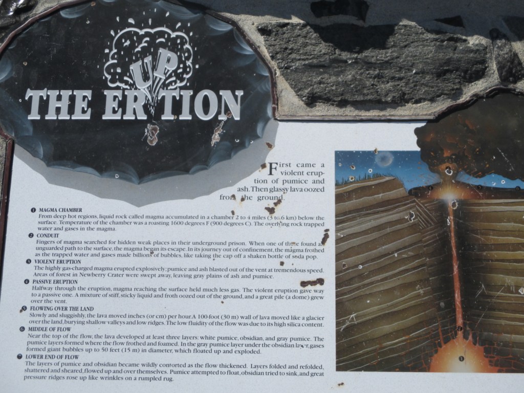
Newberry National Volcanic Monument was carved from Deschutes National Forest by presidential proclamation in 1990 and here you must purchase a recreation pass to visit. The main area of development is around Paulina Lake, but short roads off Highway 97 also lead to Lava River Cave and the top of Lava Butte. Lava River Cave, at 5,211 feet in length, is Oregon’s longest lava tube and one of more than 250 known caves found throughout Deschutes National Forest. A one-mile interpretive trail enters the Lava Cast Forest, where 6,000 years ago the forms of trees were preserved in lava before burning up.

Highlights
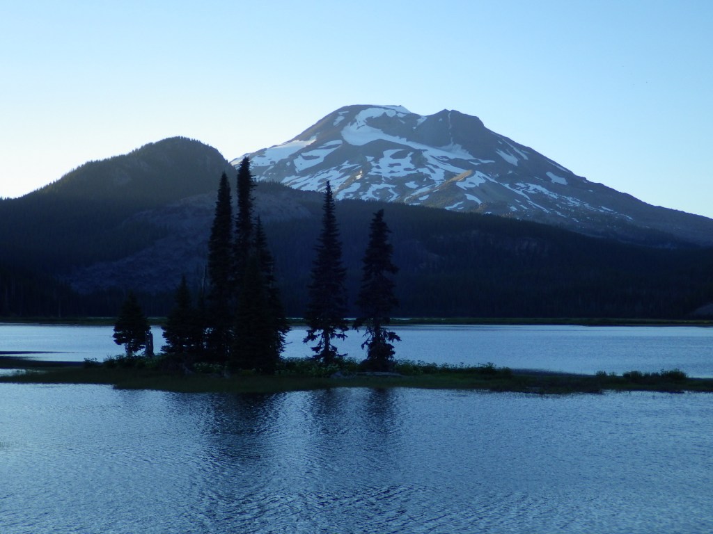
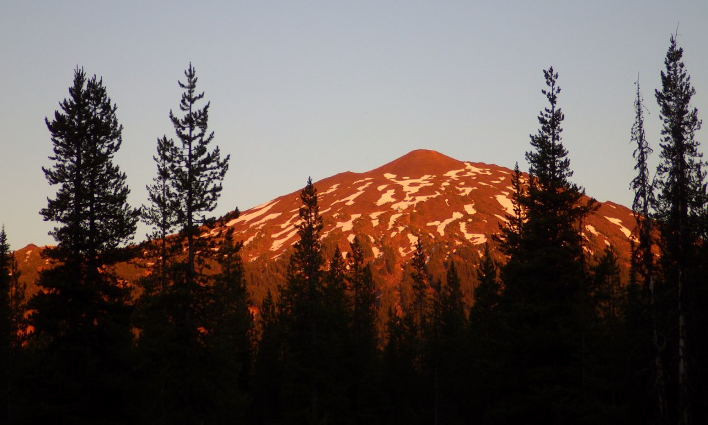
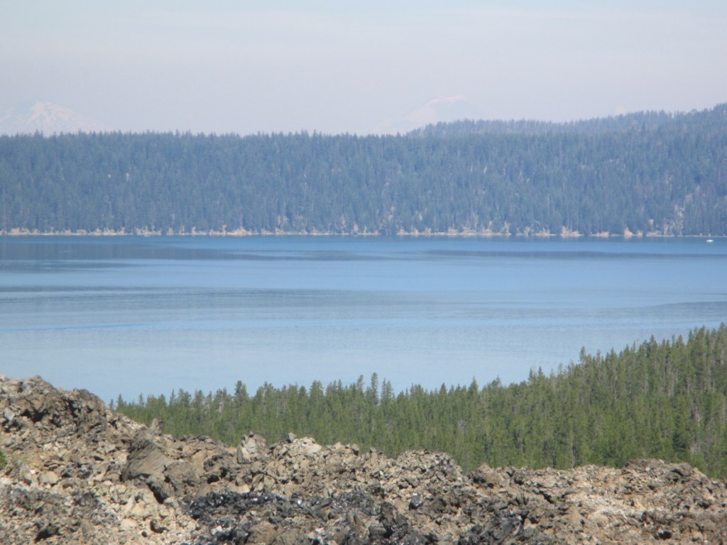
Paulina Lake, East Lake, Paulina Falls, Lava Cast Forest, Paulina Peak, Lava River Cave, Lava Butte, Big Obsidian Flow Trail, Crater Rim Trail, Peter Skene Ogden Trail
Must-Do Activity
Newberry National Volcanic Monument has everything you would expect from a volcanic area: lava tubes, cinder cones, cast trees, and basalt flows. There are also some things you might not guess, like an 80-foot tall waterfall, two big lakes for boating, forested campgrounds, and two lakeside resorts. We have seen photos of people soaking in a hot springs on the shore of chilly Paulina Lake, but we are not sure exactly where those are located.
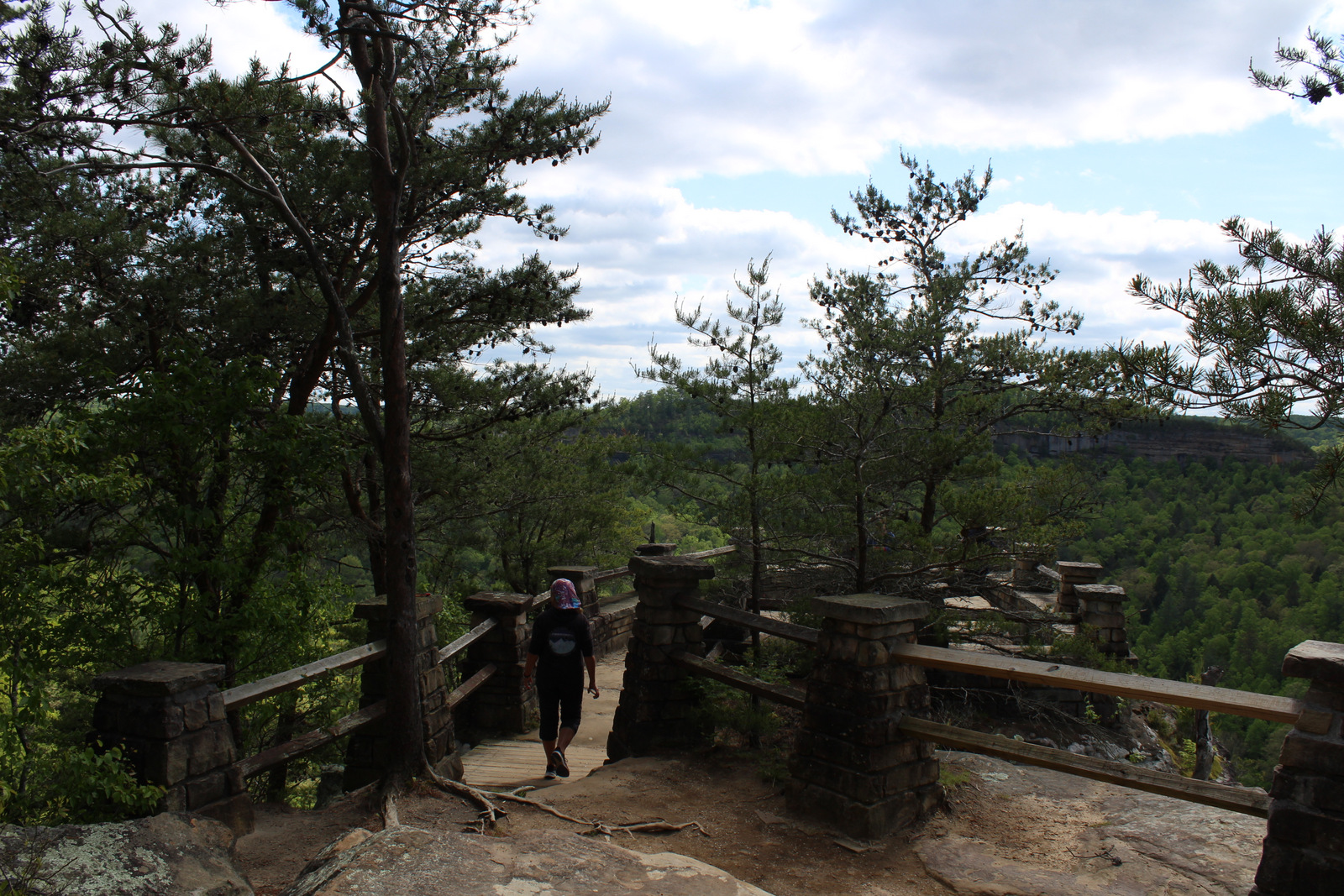
Best Trail
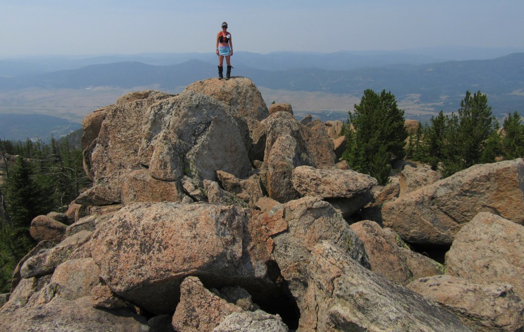
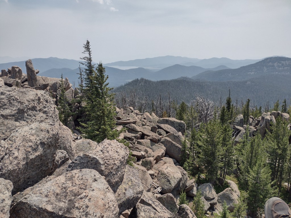
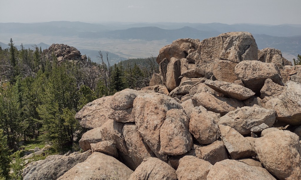
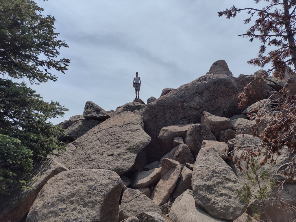
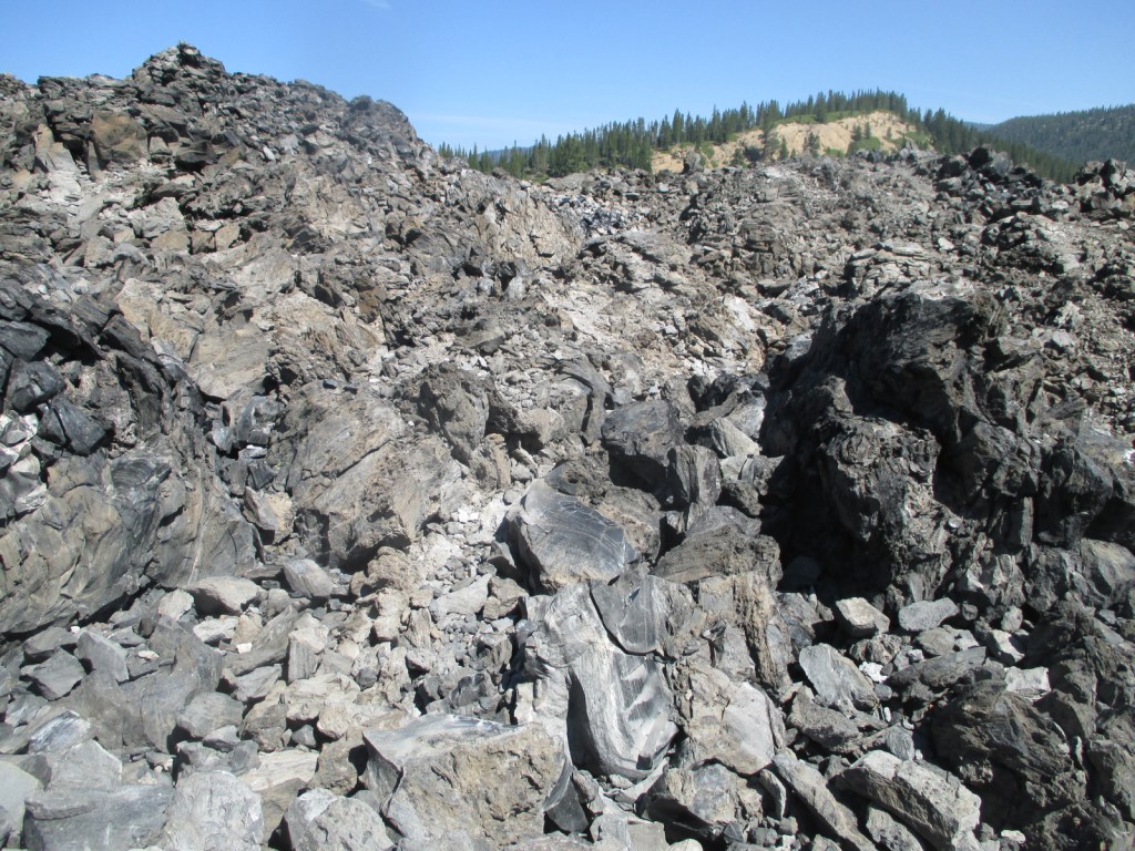
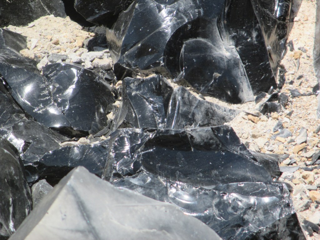
There are a variety of hiking trails in the area, like the 21-mile Crater Rim Trail that circles Newberry Caldera or the one-mile Big Obsidian Flow Trail. These both offer outstanding views of Paulina Lake or you can drive to the top of 7,984-foot-tall Paulina Peak. Sharp chunks of obsidian (volcanic glass) mean that you should wear good shoes (not sandals) on the Big Obsidian Flow Trail.
Instagram-worthy Photo
Lovely Paulina Falls is split into two separate waterfalls off the cliff face on the caldera’s western edge. The overlook is accessible by a short hike and user trails lead steeply to its base.

Peak Season
Late summer
Fees
$5 daily recreation pass or America the Beautiful pass
Road Conditions
The roads we drove to access Paulina and East Lakes were paved, but there are many other unpaved Forest Service roads in the National Monument.
Camping
One of numerous campgrounds, Little Crater Campground is situated on Paulina Lake, plus there are two lakeside resorts.
Related Sites
Craters of the Moon National Monument and Preserve (Idaho)
Mt. St. Helens National Volcanic Monument (Washington)
Sunset Crater Volcano National Monument (Arizona)


Explore More – What is the name of the popular museum of wildlife and living history located just north of Newberry National Volcanic Monument on Highway 97?