Overview
After a failed settlement by persecuted French Protestants (Huguenots) in 1562, two years later a group of 200 soldiers, artisans, and a few women established a colony at the mouth of the St. Johns River (east of present-day Jacksonville, Florida). Led by René de Goulaine de Laudonnière, they hurriedly assembled the triangular Fort Caroline, named for King Charles IX. In 1565, Jean Ribault arrived with 600 more settlers and soldiers. After learning the Catholic Spanish had established a base to the south at St. Augustine, Ribault set sail for a surprise attack, only to be shipwrecked by a hurricane. The unprotected Fort Caroline was easily captured by the Spanish, who executed 140 of its 200 inhabitants. The Spanish then killed the majority of the 250 French marooned at Matanzas Inlet, which gained its name from these “slaughters.”

Highlights
Museum, reconstructed fort, Hammock Trail, Ribault Monument
Must-Do Activity
The National Park Service (NPS) administers Fort Caroline National Memorial (established in 1950) as a unit of Timucuan Ecological and Historic Preserve (established in 1988). Start your visit at the NPS museum, which provides information on the indigenous Timucuan, as well as the European colonization efforts. After walking the Hammock Trail to see the reconstructed fort, drive to the nearby Ribault Monument, a replica of a stone column left by Jean Ribault at the mouth of the St. Johns River on May 2, 1562.
Best Trail
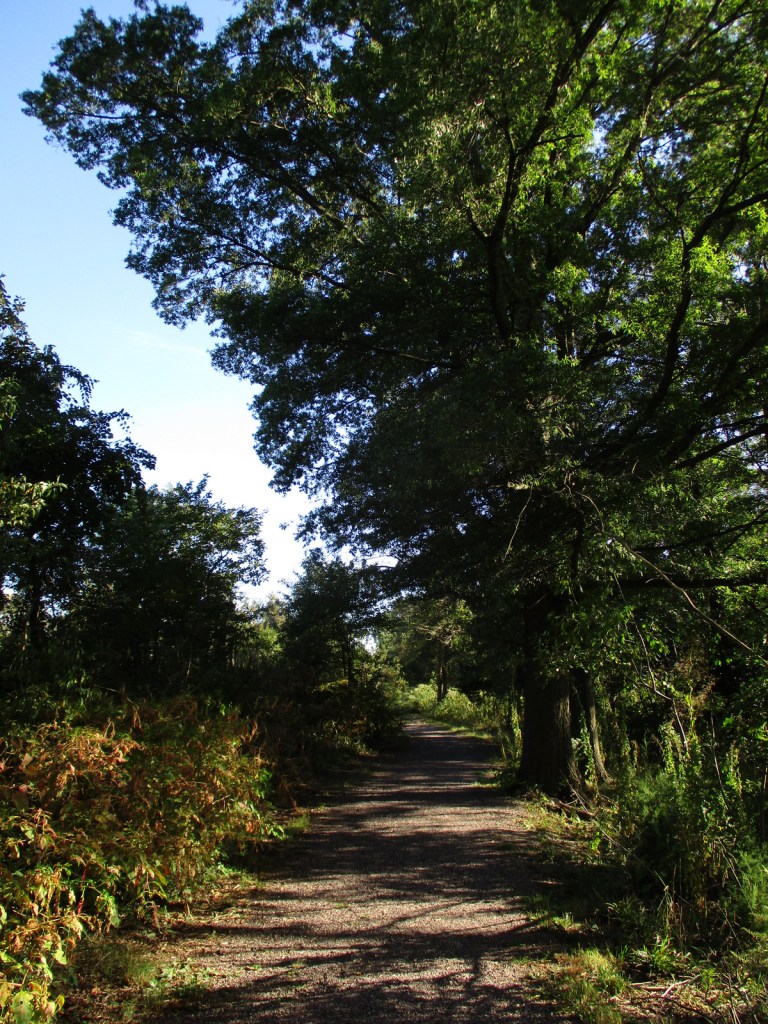
Within this 139-acre National Memorial, the Hammock Trail visits the reconstructed fort along the St. Johns River. Starting from two parking lots south of Fort Caroline Road several trails explore Spanish Pond and the Theodore Roosevelt Area of Timucuan Ecological and Historic Preserve.
Instagram-worthy Photo
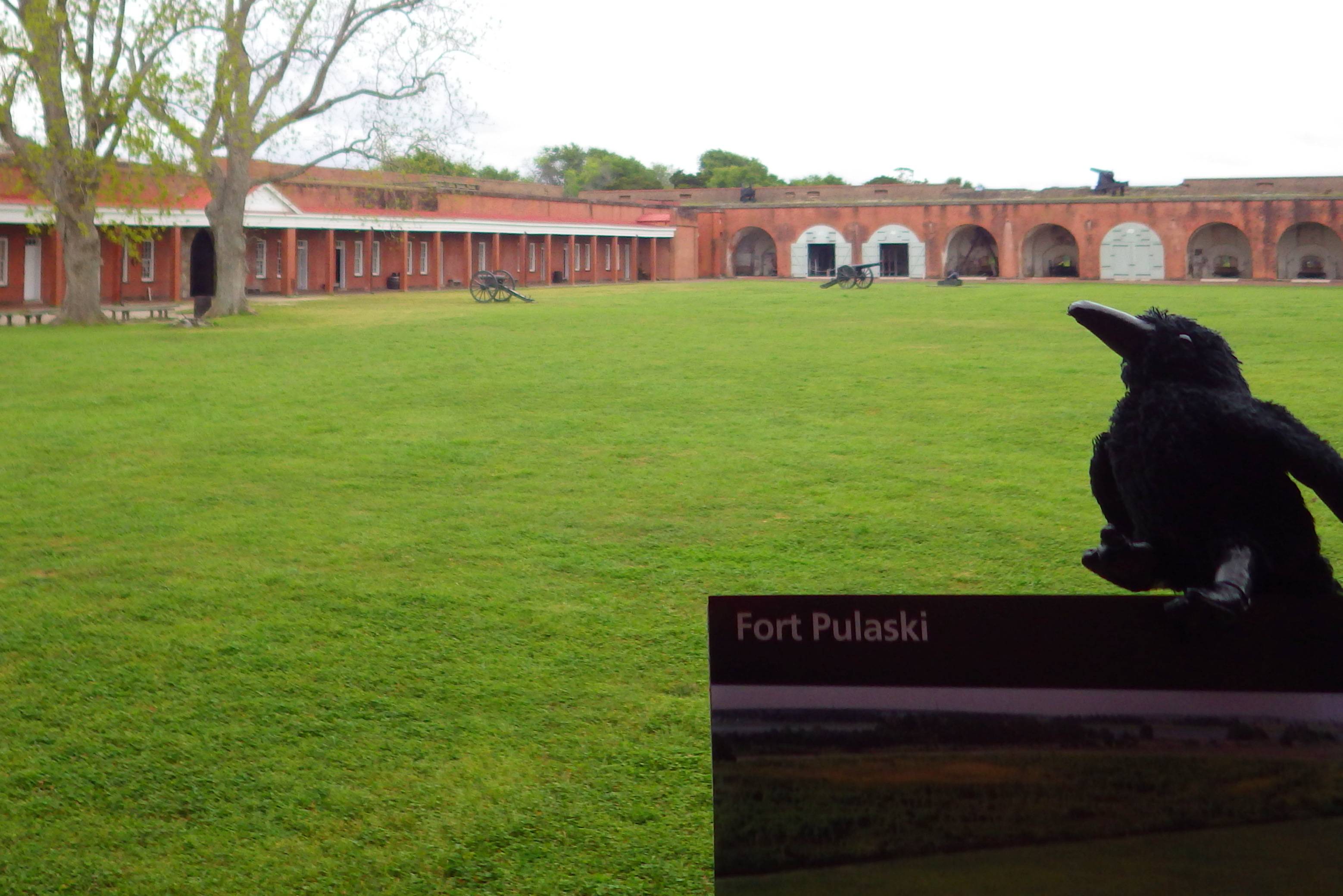
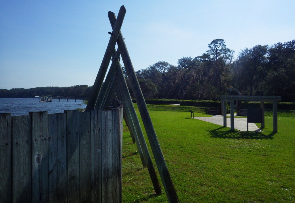
The actual site of the original fort has never been found (and is probably underwater), but you can tour a one-third scale reconstruction of the triangular structure based upon a drawing from 1564 by French artist Jacques le Moyne. The French got a measure of revenge in 1568 when they attacked and burned Spanish-controlled Fort Caroline, but they could not take St. Augustine and never colonized Florida again.
Peak Season
Winter when there is less mosquito activity.
Hours
https://www.nps.gov/timu/learn/historyculture/foca_visiting.htm
Fees
None
Road Conditions
All roads paved
Camping
Little Talbot Island State Park and Kathryn Abbey Hanna Park (run by the city of Jacksonville) both have campgrounds.
Related Sites
Timucuan Ecological and Historic Preserve (Florida)
Castillo de San Marcos National Monument (Florida)
Fort Matanzas National Monument (Florida)

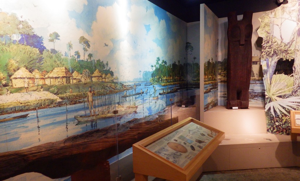
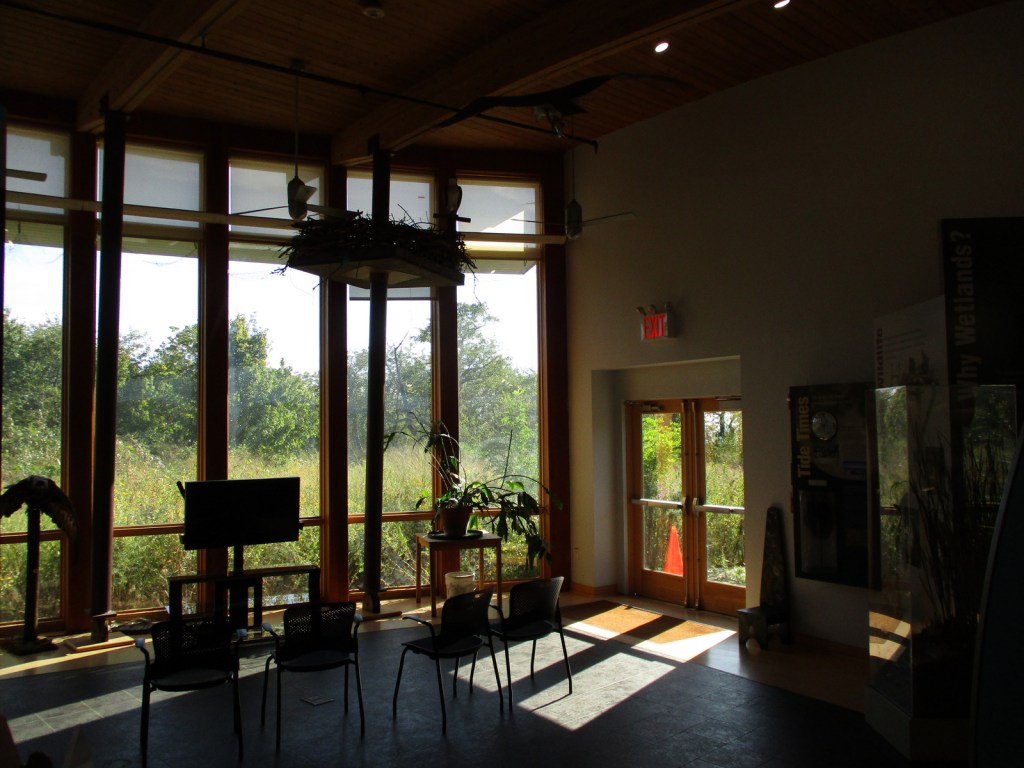
Inside the NPS museum 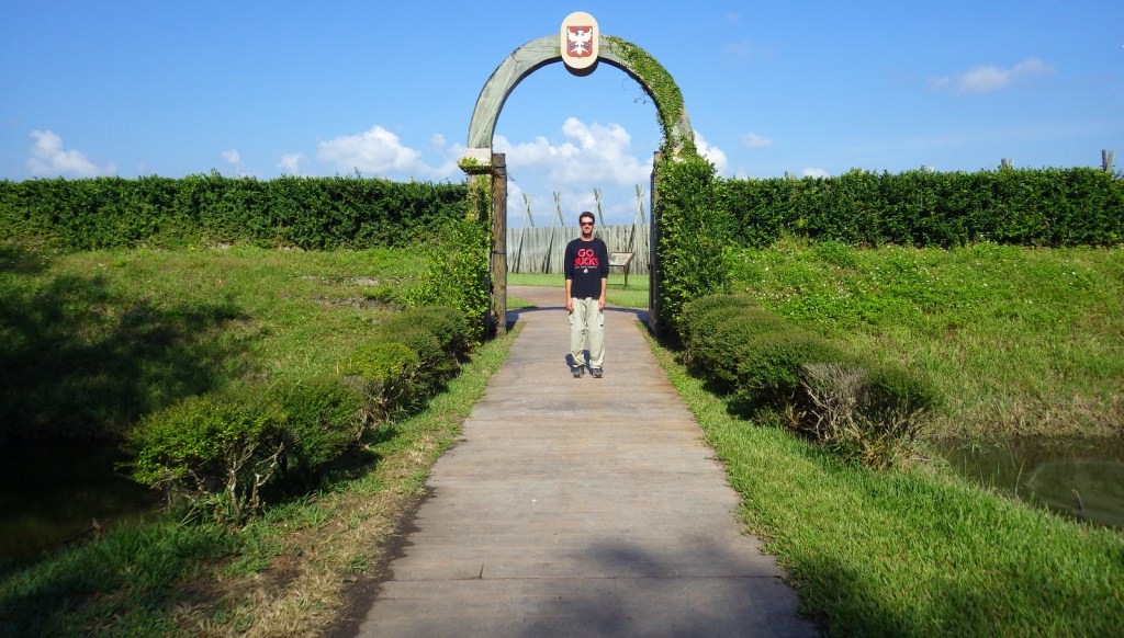
Scott at the entrance to the fort 
Drawing of the original fort 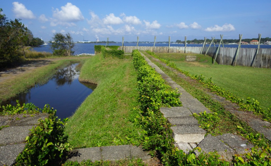
Inside the reconstructed fort 
Tiff on the Hammock Trail 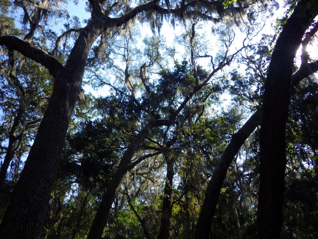

A traditional Timucuan dwelling 
Explore More – When the Spanish took control of Fort Caroline in 1565, what did they rename it?