Deschutes National Forest
Oregon
Managed by U.S. Forest Service, Pacific Northwest Region
1,853,929 acres (1,596,900 federal/ 257,029 other)
Website: https://www.fs.usda.gov/deschutes
Overview
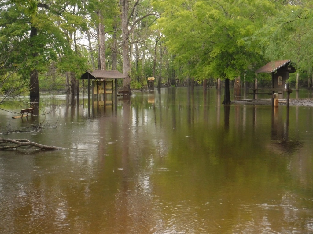
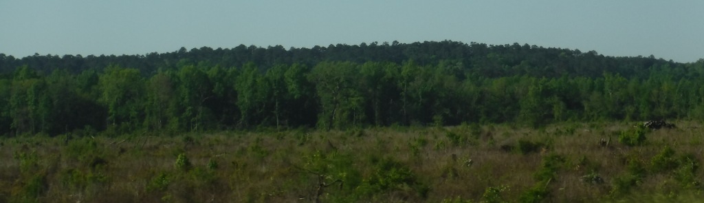
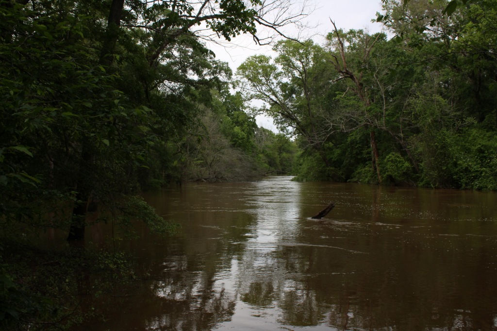
Bend, Oregon is the gateway to Deschutes National Forest, with the beautiful Cascade Lakes Scenic Byway located west of town. To the south, Newberry National Volcanic Monument is also managed by the U.S. Forest Service, which we will cover in our next blog post. The Deschutes River was named La Rivière aux Chutes by French trappers because Celilo Falls was located near its confluence with the Columbia River. Deschutes National Forest contains five Wilderness areas, six National Wild and Scenic Rivers, Metolius Conservation Area, and part of Oregon Cascade Recreation Area (mostly in Umpqua National Forest).
Highlights
Newberry National Volcanic Monument, Cascade Lakes Scenic Byway, Devils Lake, Mt. Bachelor, Sparks Lake, Broken Top, Three Sisters, McKenzie Pass-Santiam Pass Scenic Byway, Skeleton Cave, Pacific Crest National Scenic Trail
Must-Do Activity
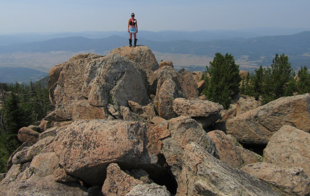
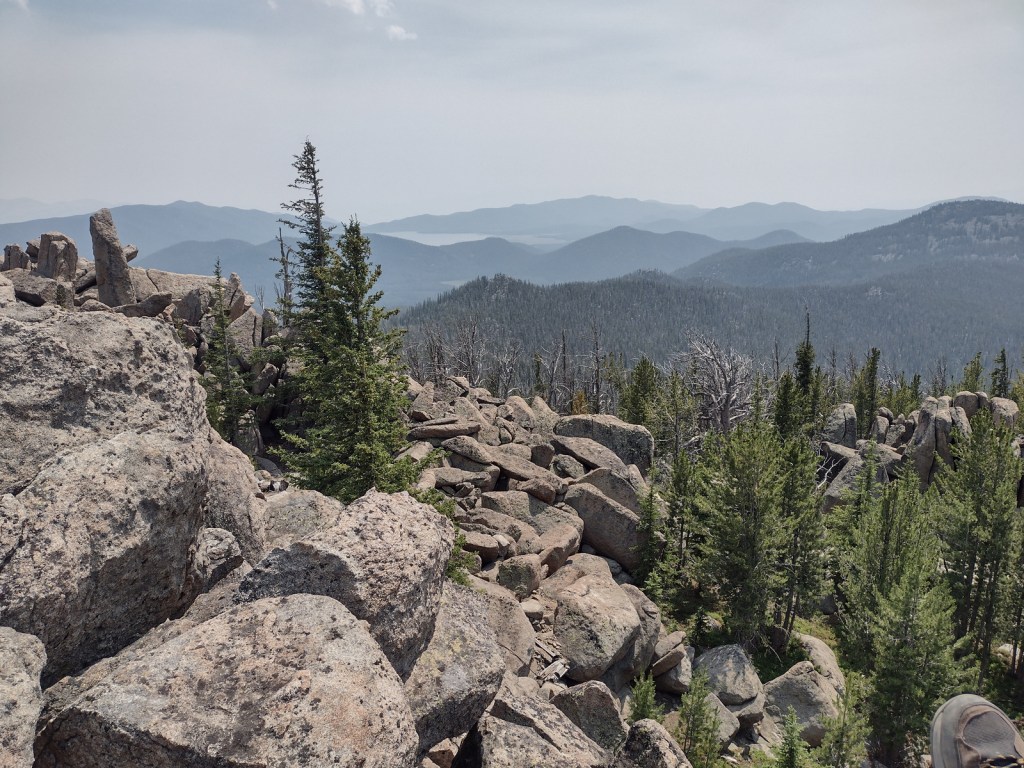
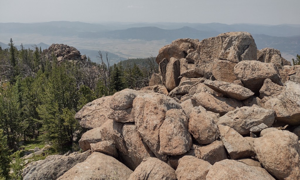
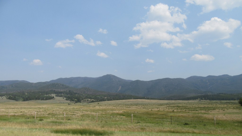
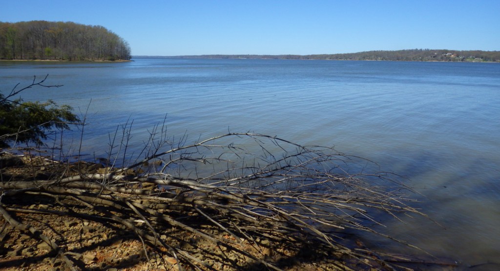
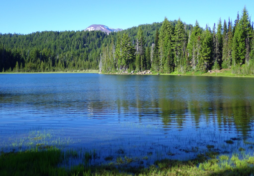
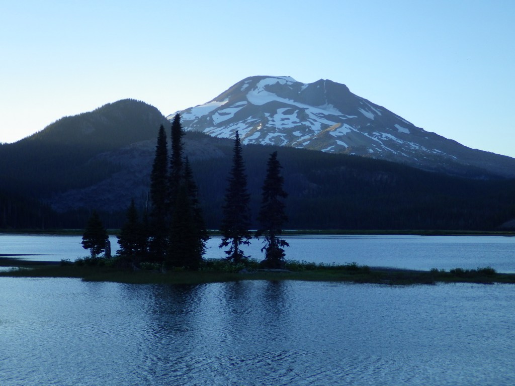
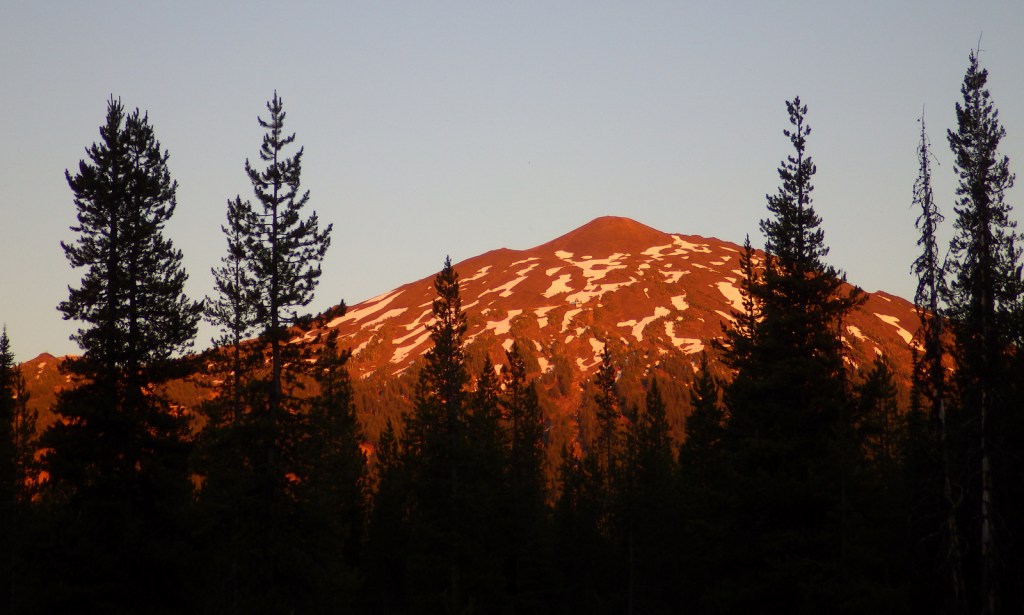
The 66-mile-long (89-mile loop) Cascade Lakes Scenic Byway curves around the mountains west of Bend past numerous lakes reflecting multiple snow-capped peaks—a real photographers’ paradise. To spend the golden hours up here, consider staying at campgrounds on the shores of Lava Lake or Sparks Lake with excellent views of Broken Top and South Sister Peak. Like Mt. Hood to the north, 9,065-foot Mt. Bachelor is known for its ski resort. A summer trip up Pine Marten Express Lift offers unsurpassed panoramas of the Cascades and Newberry National Volcanic Monument.
Best Trail
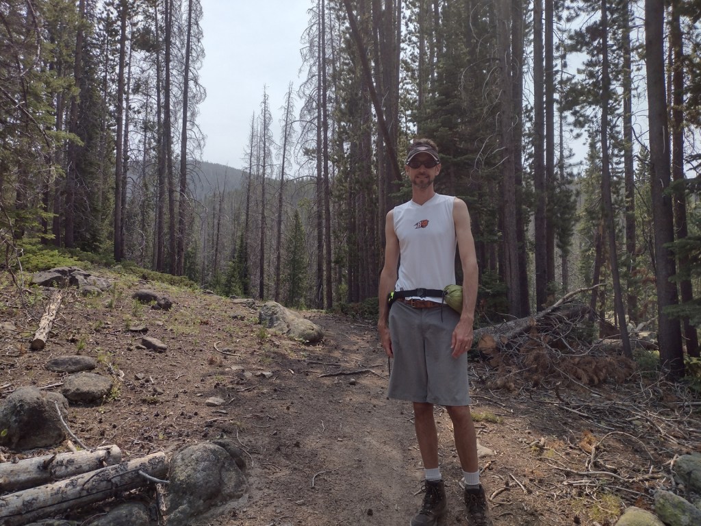
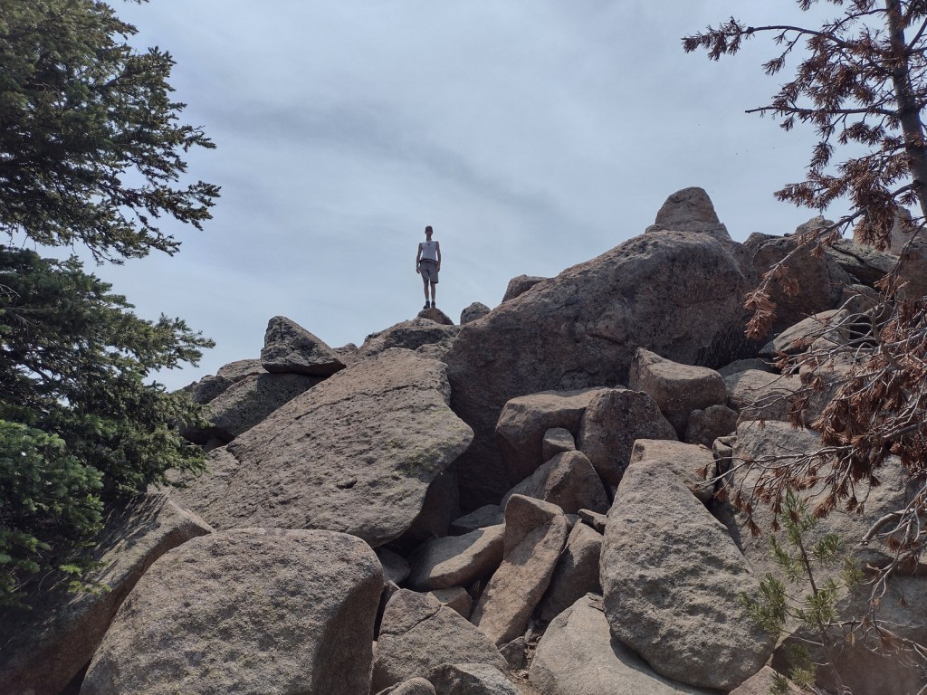
Sisters Mirror Lake is four miles and 650 feet up from a trailhead on the Cascade Lakes Scenic Byway and is located on the Pacific Crest National Scenic Trail. Just as a warning, this entire trail was thick with aggressive mosquitoes on our hike in mid-July.
Watchable Wildlife
Elk, pronghorn, and mule deer are large ungulates found in Deschutes National Forest. Carnivorous mammals include black bears, coyotes, mountain lions, and bobcats. Large birds frequently seen are bald eagles, Canada geese, mallards, and whistling swans, and the northern spotted owl is a species of concern. There are many lakes found throughout the National Forest that support a variety of gamefish, including bull trout (a threatened species).
Instagram-worthy Photo
Sparks Lake is a great place to watch the sun set behind the Cascades.
Peak Season
Summer
Fees
There is a day use fee for Newberry National Volcanic Monument.
Road Conditions
Cascade Lakes Scenic Byway is paved, as are the main roads into Newberry National Volcanic Monument, but there are many miles of logging roads to explore, too.
Camping
Campgrounds on the shores of Lava Lake or Sparks Lake provide views of Broken Top and South Sister Peak. Walk-in campsites on crystal clear Devils Lake offer a bit more secluded experience.
Wilderness Areas
Diamond Peak Wilderness (also in Willamette National Forest)
Mt. Jefferson Wilderness (also in Mt. Hood and Willamette National Forests)
Mt. Thielsen Wilderness (also in Umpqua and Winema National Forests)
Mt. Washington Wilderness (also in Willamette National Forest)
Three Sisters Wilderness (also in Willamette National Forest)
Related Sites
Newberry National Volcanic Monument (Oregon)
Crooked River National Grassland (Oregon)
John Day Fossil Beds National Monument (Oregon)
Nearest National Park


ponderosa pine, lodgepole pine, western white pine, sugar pine, western juniper, Douglas-fir, western redcedar, white fir, subalpine fir
quaking aspen, balsam poplar, Bebb willow
Explore More – The namesake of the Deschutes River (Celilo Falls) is now underwater behind what dam on the Columbia River?

Learn more about this and the 154 other National Forests in our new guidebook Out in the Woods
We are a participant in the Amazon Services LLC Associates Program, an affiliate advertising program designed to provide a means for us to earn fees by linking to Amazon.com and affiliated sites.