Black Kettle National Grassland
Oklahoma, Texas
Managed by U.S. Forest Service, Southern Region
33,113 acres (31,286 federal/ 1,827 other)
Website: https://www.fs.usda.gov/detail/cibola/home/?cid=stelprdb5397425
Overview
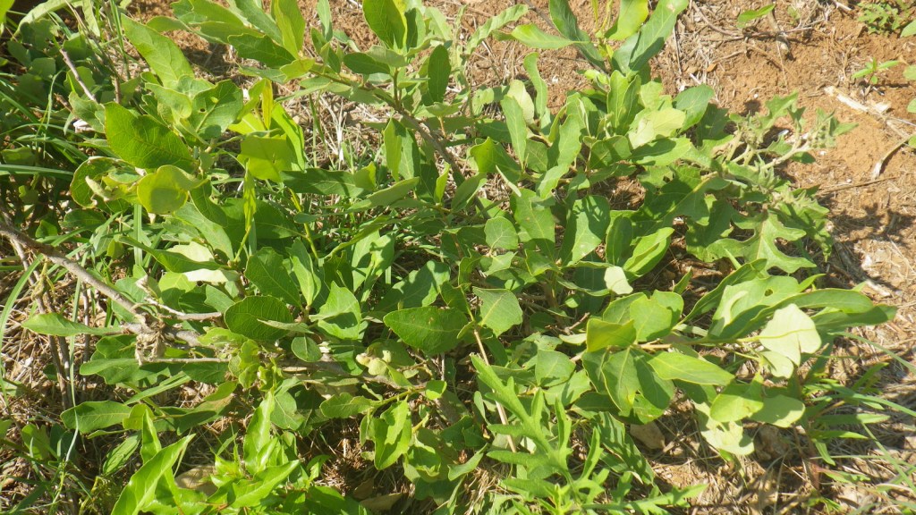
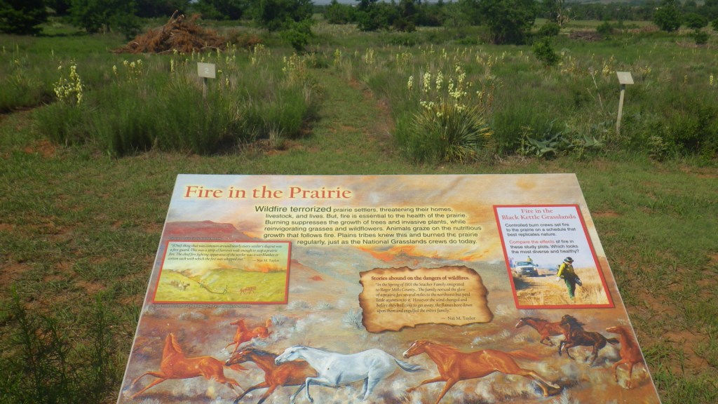
Like Cimarron National Grassland in Kansas, Black Kettle National Grassland was purchased by the federal government during the 1930s Dust Bowl. This is one of the only National Grasslands with a visitor center, shared with the National Park Service (NPS) who manages Washita Battlefield National Historic Site at the site of an 1868 massacre that took the life of Chief Black Kettle of the Southern Cheyenne. Even though the downstairs U.S. Forest Service office was closed on our Saturday visit, the NPS ranger at the desk provided a map and information on the National Grassland. We also walked the paved interpretive trail at the visitor center that explained homesteading, prescribed burning, and preserving the rare shinnery oak species.

Highlights
Black Kettle Recreation Area, Lake Marvin, Spring Creek Lake, Croton Creek Watchable Wildlife Area, Skipout Lake, Cheyenne Nature Walk
Must-Do Activity
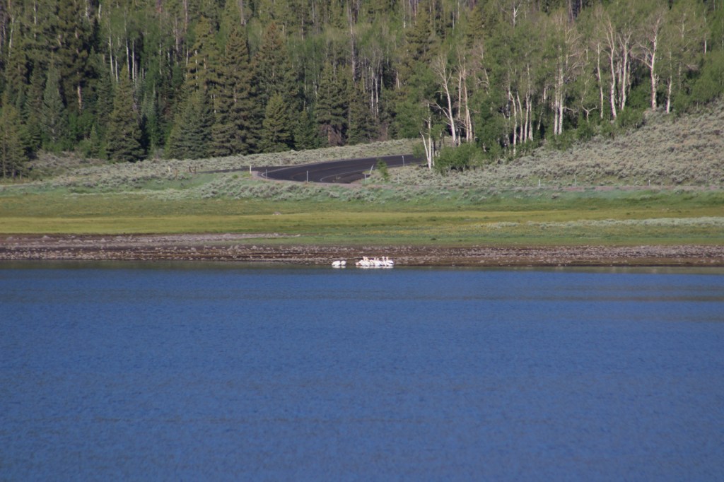
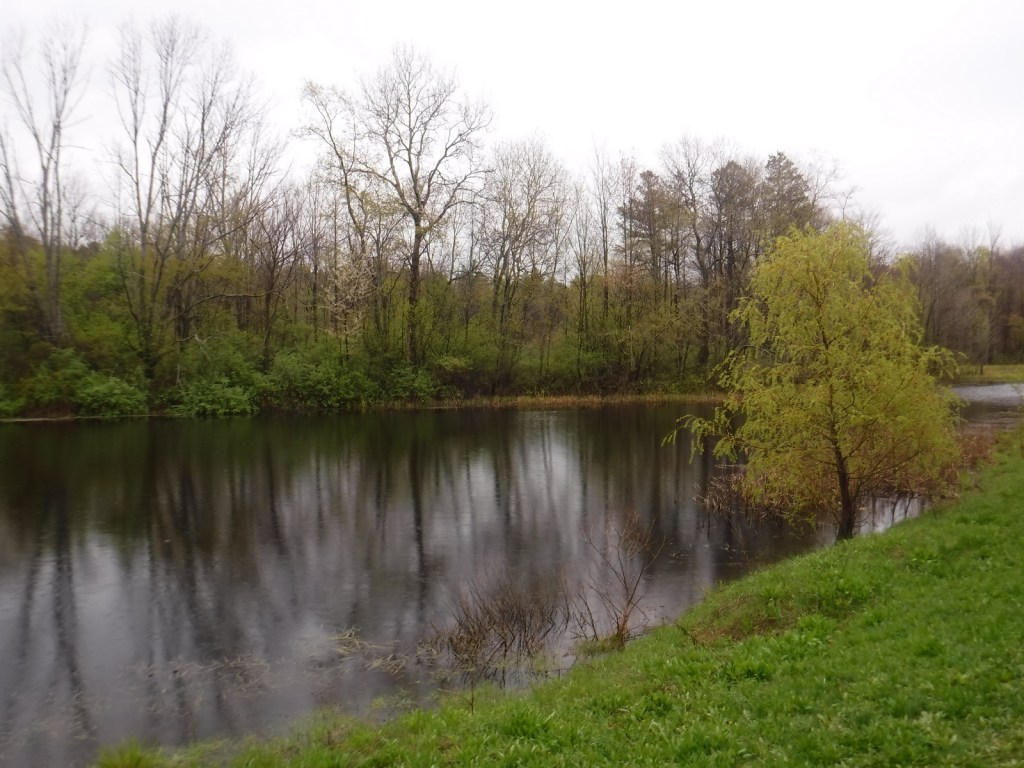
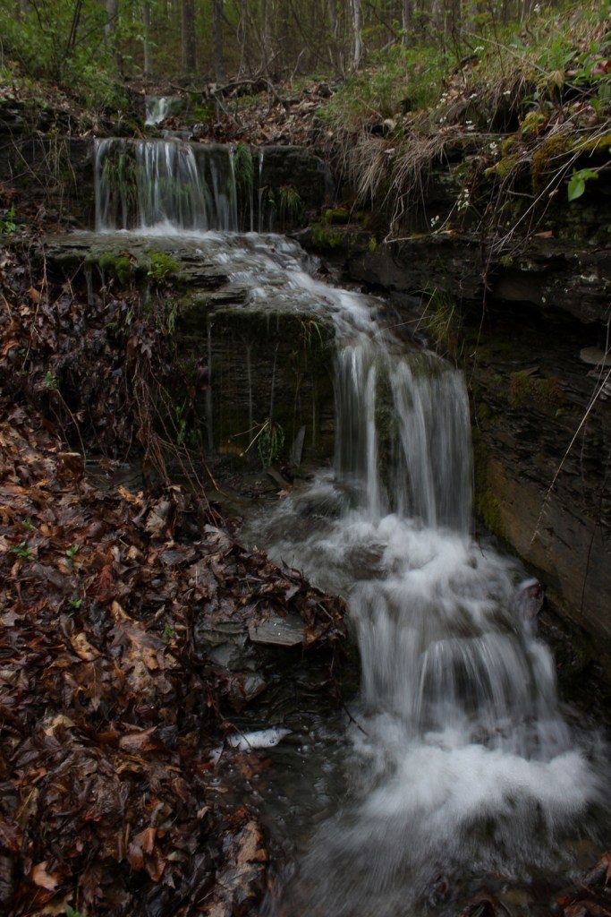
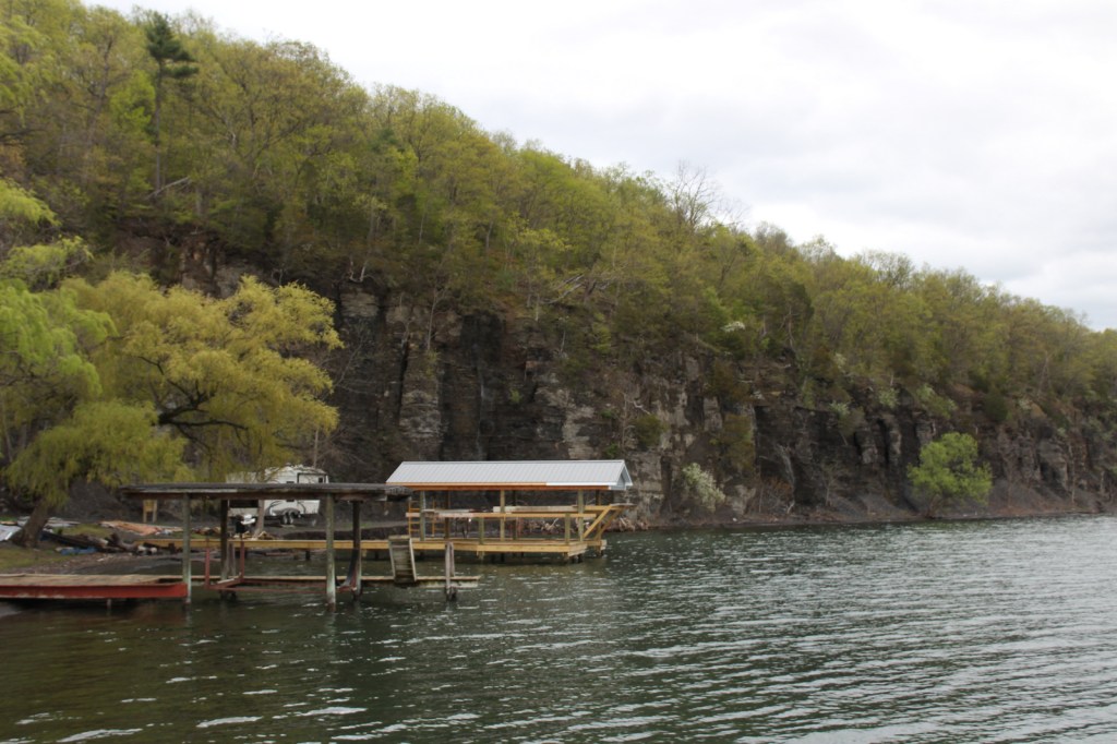
Recreation here surrounds four reservoirs, including a tiny parcel around 63-acre Lake Marvin in Texas. In Oklahoma, there are 60-acre Skipout Lake, 50-acre Spring Creek Lake, and 80-acre Dead Warrior Lake. Fishing, picnicking, and free primitive camping are allowed at all four reservoirs, with a 1.75-mile trail circling Skipout Lake and wooded trails south of Dead Warrior Lake in Black Kettle Recreation Area.
Best Trail
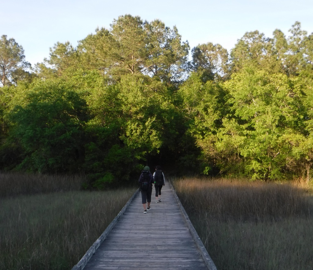
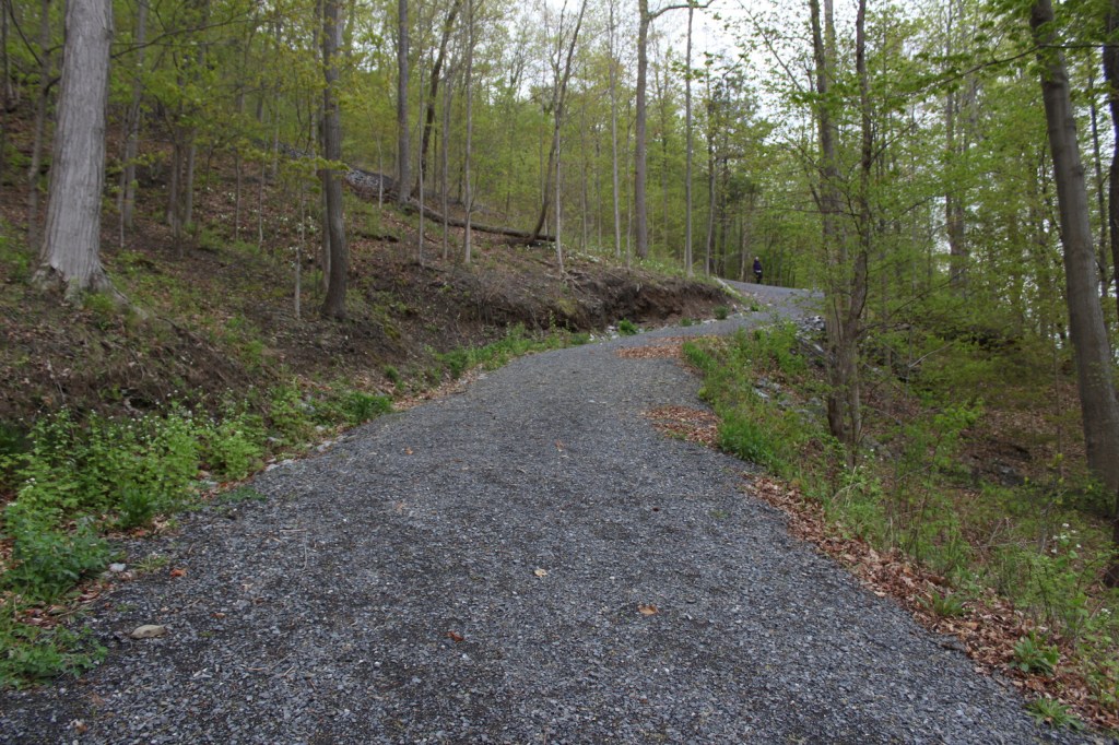
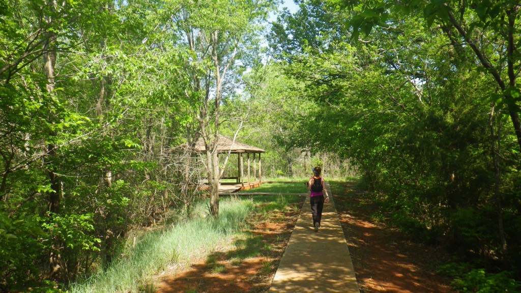
Unlike some other National Grasslands, there are multiple marked and maintained trails here, including two loops totaling 1.6 miles at Croton Creek Watchable Wildlife Area (south of Highway 47) lined by small signs describing native grasses, trees, and birds. A slightly hidden trail is shown on the Forest Service app in the town of Cheyenne where a sidewalk heads into the woods leaving from the parking lot at the high school baseball field. The Cheyenne Nature Walk is paved and has a gazebo and boardwalk crossing a wetland area that was dry during our May visit.
Watchable Wildlife
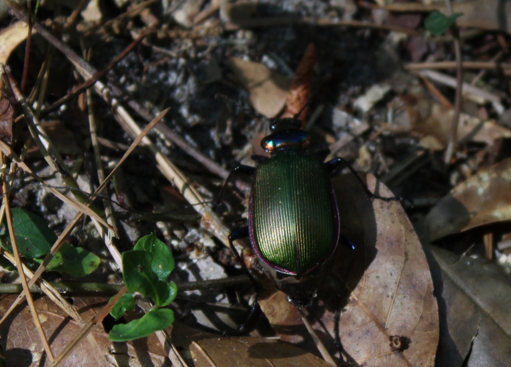
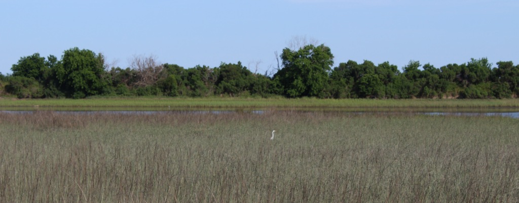
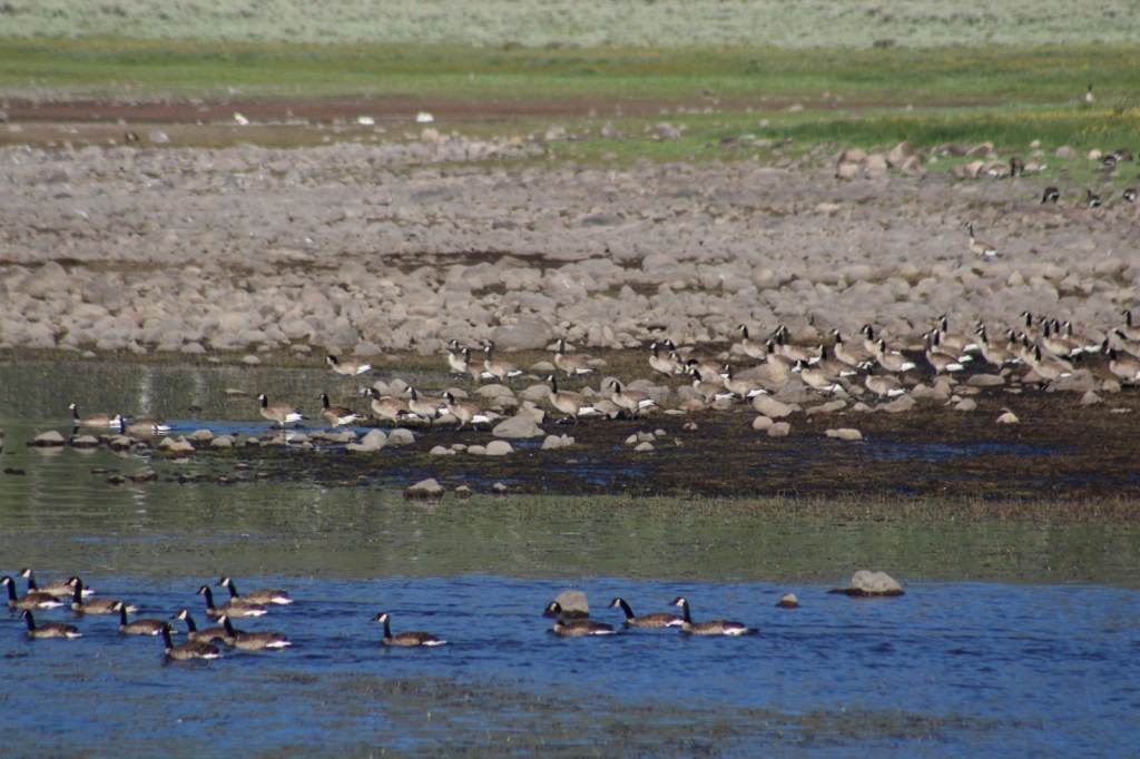
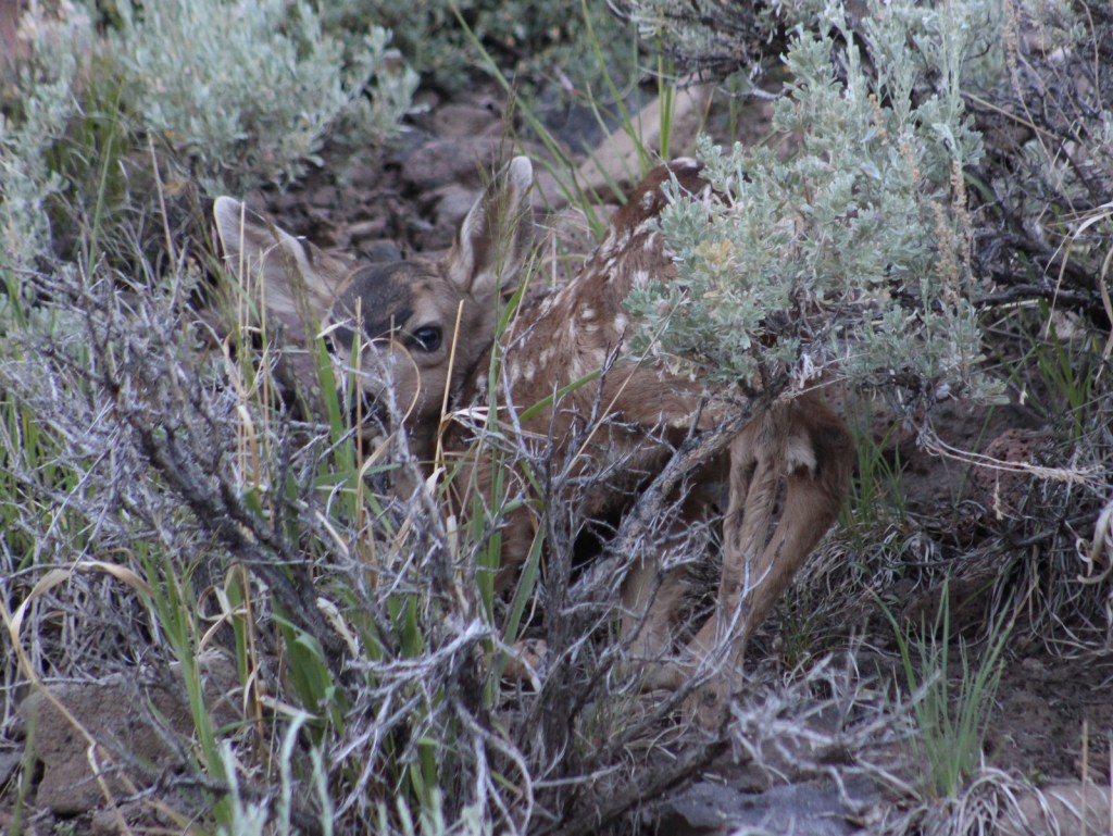
Three unique bird species we spotted during our May visit were Mississippi kites, northern bobwhite quail, and scissor-tailed flycatchers. In addition, we saw cardinals and woodpeckers, and heard whippoorwills, barn owls, and barred owls overnight. Wild turkeys, cedar waxwings, and lesser prairie chickens are also among the 277 bird species identified. Tracks of white-tailed deer and raccoons were abundant on the Croton Creek Trail, plus there are bobcats, mountain lions, and beavers in the area. Fishermen can catch black bass, saugeye, catfish, and other types of pan fish.
Instagram-worthy Photo
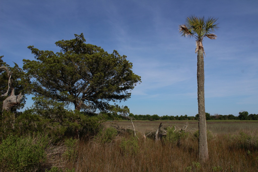
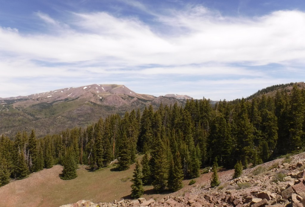
This area is more heavily wooded than some other prairie National Grasslands, which can be experienced on the Croton Creek Trail and Cheyenne Nature Walk (watch for poison-ivy).

Peak Season
Spring and fall
Fees
None
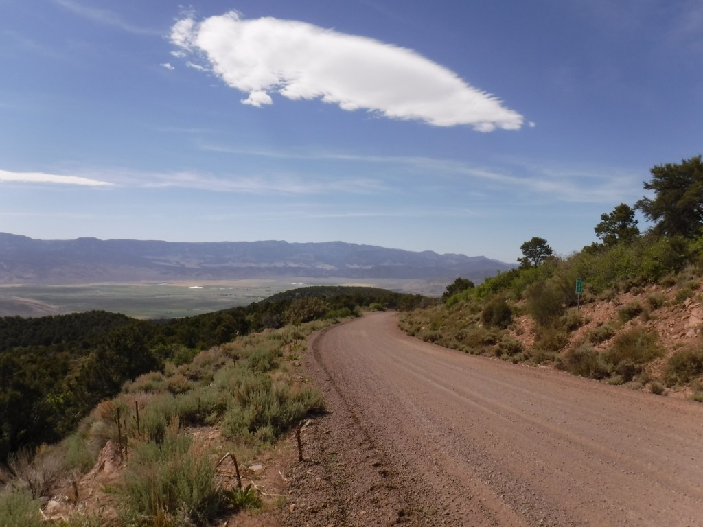
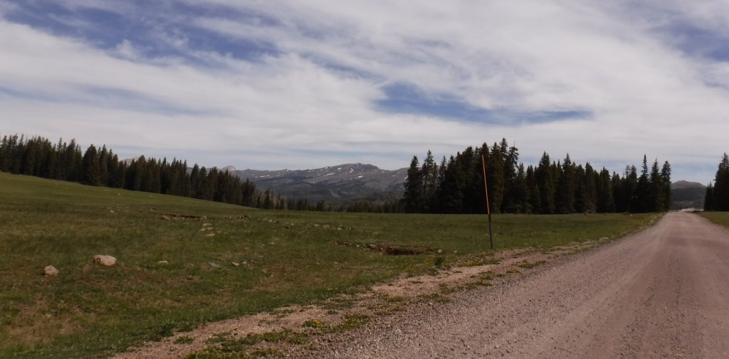
Road Conditions
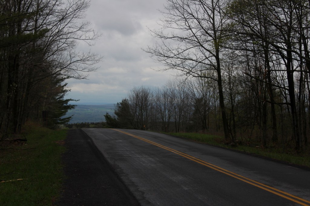
Highways 283, 33, and 47 are paved roads that run through the National Grassland, and despite abundant spring rainstorms, we did not have any difficulty with the unpaved roads.
Camping
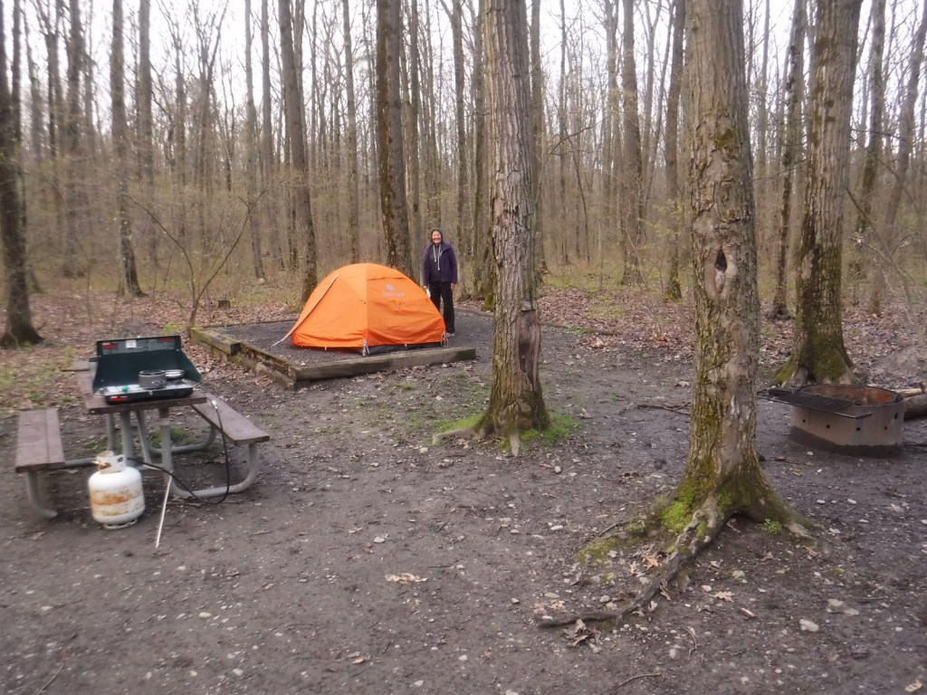
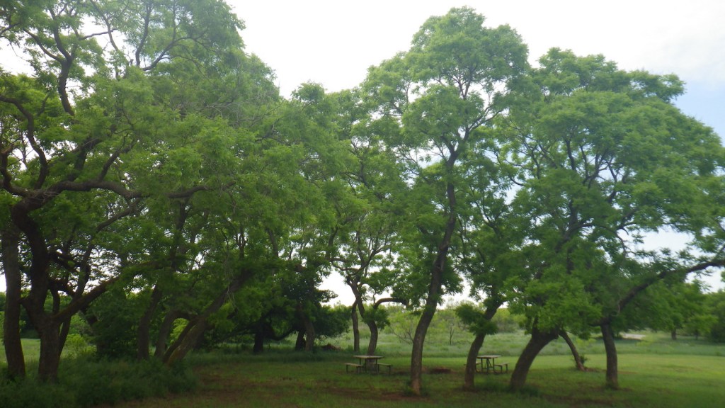
All four lakes offer free primitive campsites with some picnic tables, as does Croton Creek Watchable Wildlife Area where we stayed only six miles west of Cheyenne. RV campsites with hookups at Lake Marvin cost $20 a night.
Related Sites
Washita Battlefield National Historic Site (Oklahoma)
Alibates Flint Quarries National Monument (Texas)
Cimarron National Grassland (Kansas)
Nearest National Park


Explore More – The South Canadian River flows north of Black Kettle National Grassland, but what is the river that runs through the middle of it?