George Washington Birthplace National Monument
Virginia
Managed by National Park Service
Established 1930
662 acres
Website: nps.gov/gewa
Overview
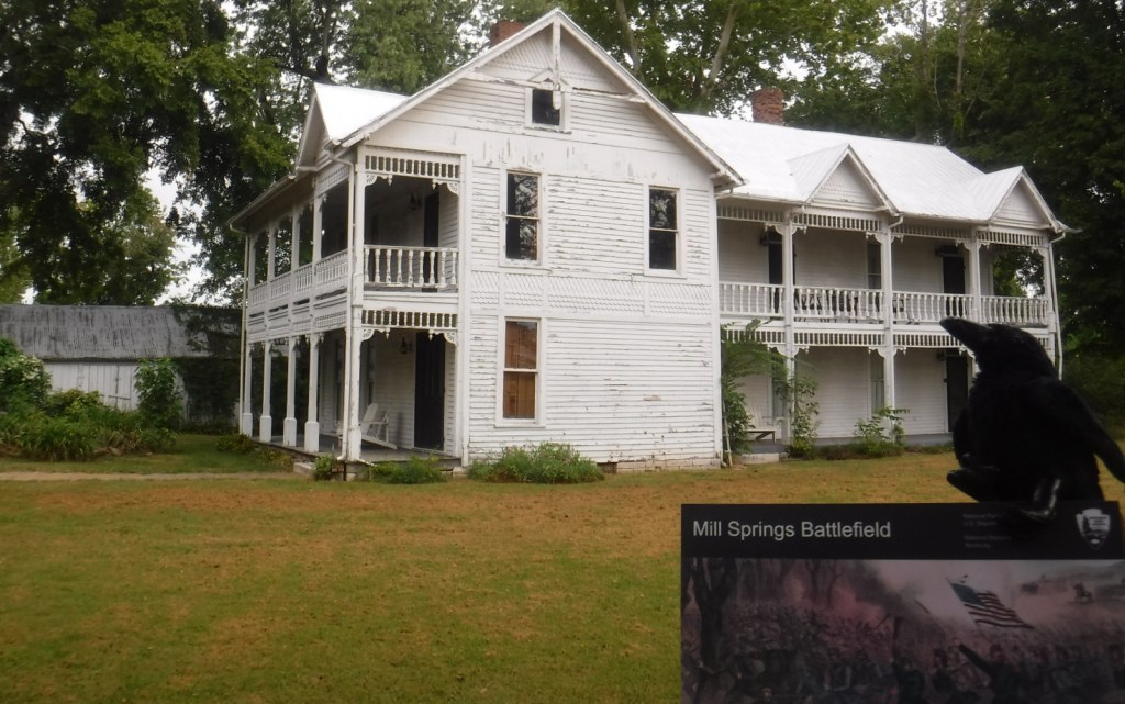
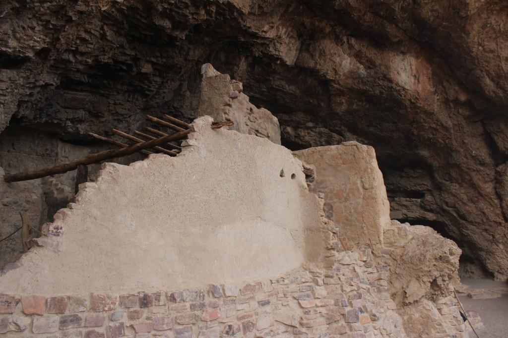
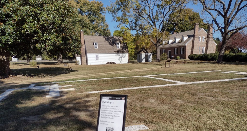
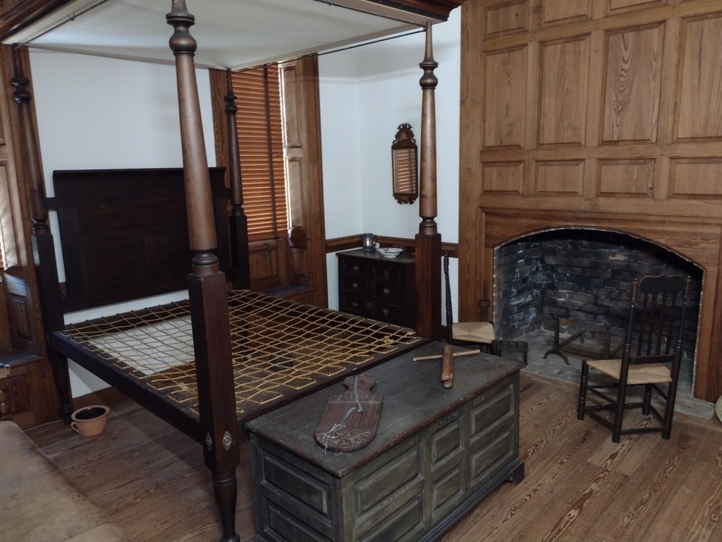
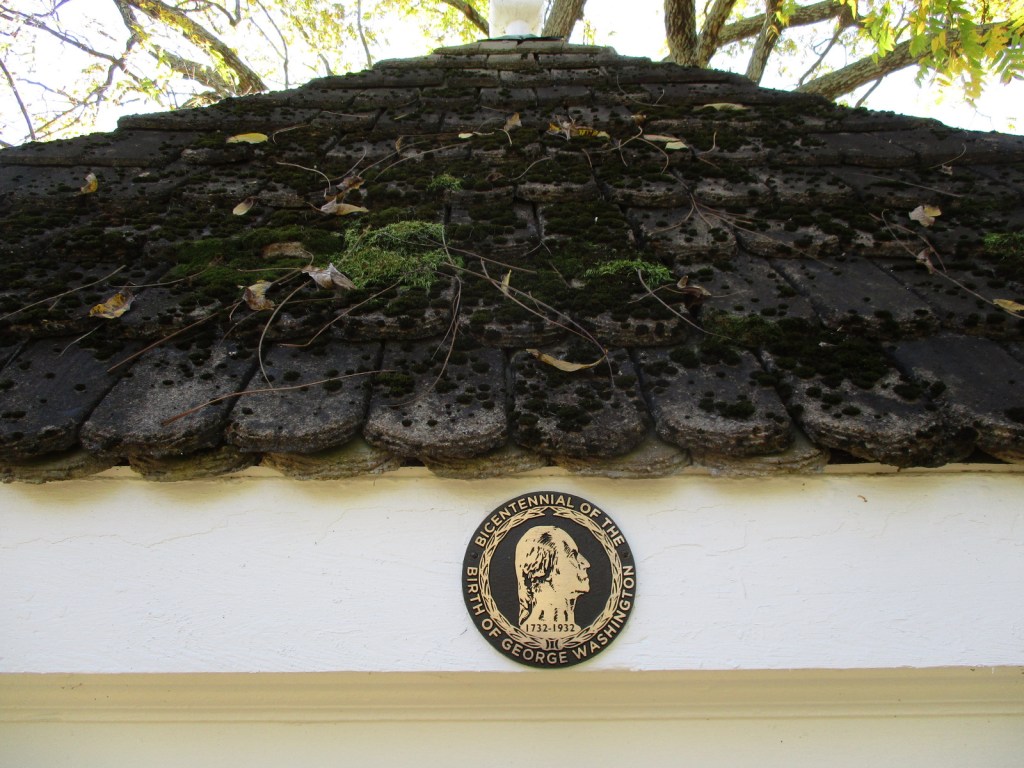
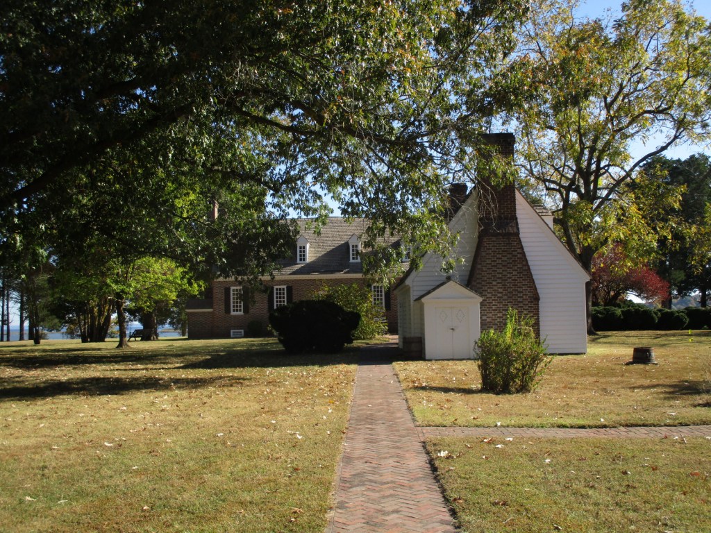
George Washington’s great-grandfather John first came to Virginia in 1657 and later settled this slave plantation on Popes Creek. The future general and president was born on the property in 1732 in a house that burned down whose foundation is now outlined in the ground by crushed oyster shells. The current Memorial House was constructed to celebrate the bicentennial of his birth, although the architect had no idea of the original house’s layout. Those interested in the first U.S. President should combine this free tour with an expensive visit to his mansion at Mount Vernon located 68 miles north.
Learn more about the other 137 National Monuments in our newest travel guidebook Monumental America: Your Guide to All 138 National Monuments. It is now available for sale on Amazon.com.

Highlights
Memorial Obelisk, film, Memorial House, Family Burial Ground, Nature Trail, Dancing Marsh Loop Trail
Must-Do Activity
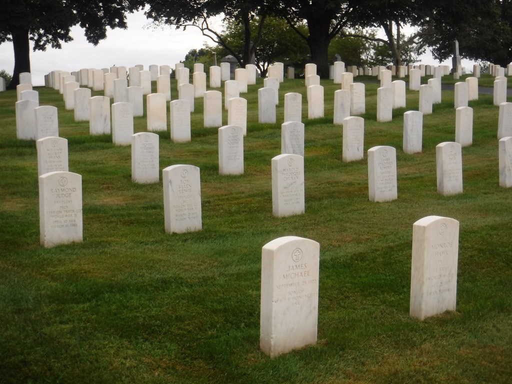
After passing the Memorial Obelisk on the drive in, your first stop should be the visitor center to watch the 15-minute film, see artifacts from the burned-down house, and find out about a tour. The hour-long ranger-guided walking tour covers about a half-mile on a gravel pathway to the Memorial House with frequent interpretive stops. In the summer, the house also has open hours for dropping in before and after the tour. There may be living history demonstrations at the colonial herb and flower garden, farm workshop, and colonial revival kitchen. It is worth a short drive to the tidewater beach on the Potomac River and a stop along the way at the Washington Family Burial Ground that has replicas of gravestones.
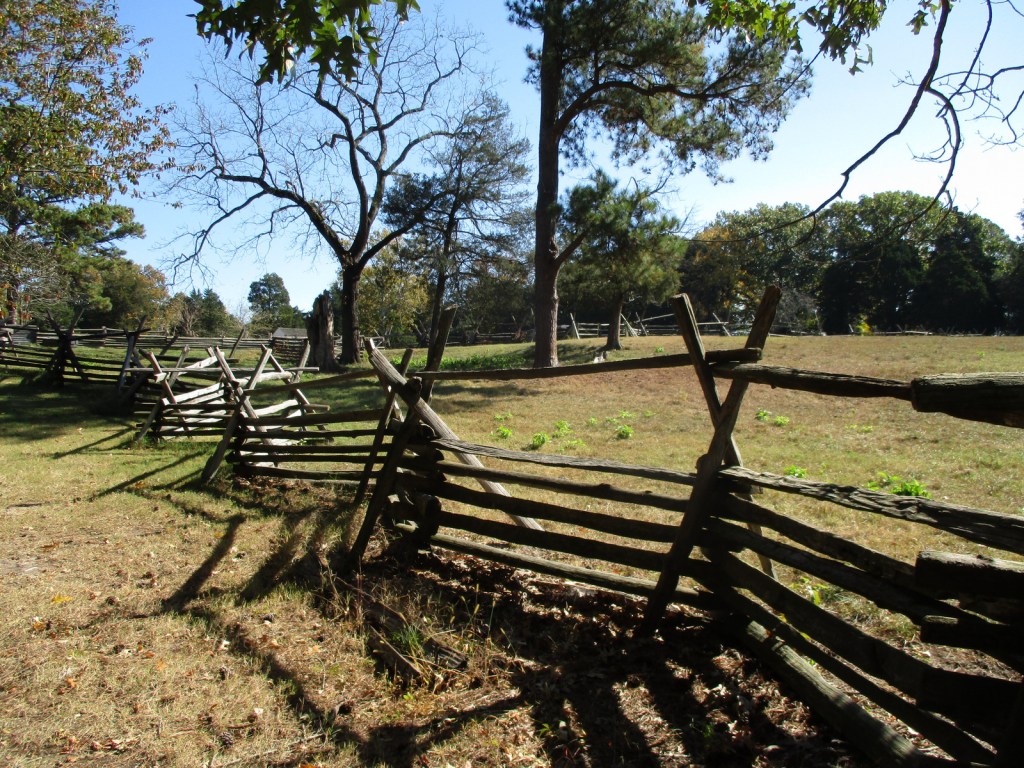
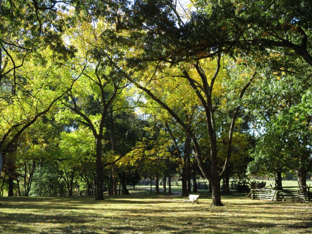
Best Trail
From the Memorial House, it is less than a mile to walk Dancing Marsh Loop Trail including open views on the footbridge across Popes Creek and the boardwalk through the marsh. This trail connects with the one-mile Nature Trail loop for a longer walk, and that is also accessible from the picnic area parking lot.
Photographic Opportunity
Originally constructed in 1896 by the War Department on the site where Memorial House now stands, the 50-foot-tall Memorial Obelisk is made of Vermont granite at one-tenth scale of the Washington Monument 70 miles to the north in Washington, D.C.

Peak Season
Spring and fall
Hours
https://www.nps.gov/gewa/planyourvisit/hours.htm
Fees
None
Road Conditions
All roads are paved, but be aware there is a toll to cross the bridge into Virginia on Highway 301 southbound from Maryland.
Camping
There is no camping at the National Monument, so the nearest campground is seven miles southeast at Westmoreland State Park, which offers RV sites with hookups.
Related Sites
Washington Monument (District of Columbia)
Valley Forge National Historical Park (Pennsylvania)
Colonial National Historical Park (Virginia)
Nearest National Park


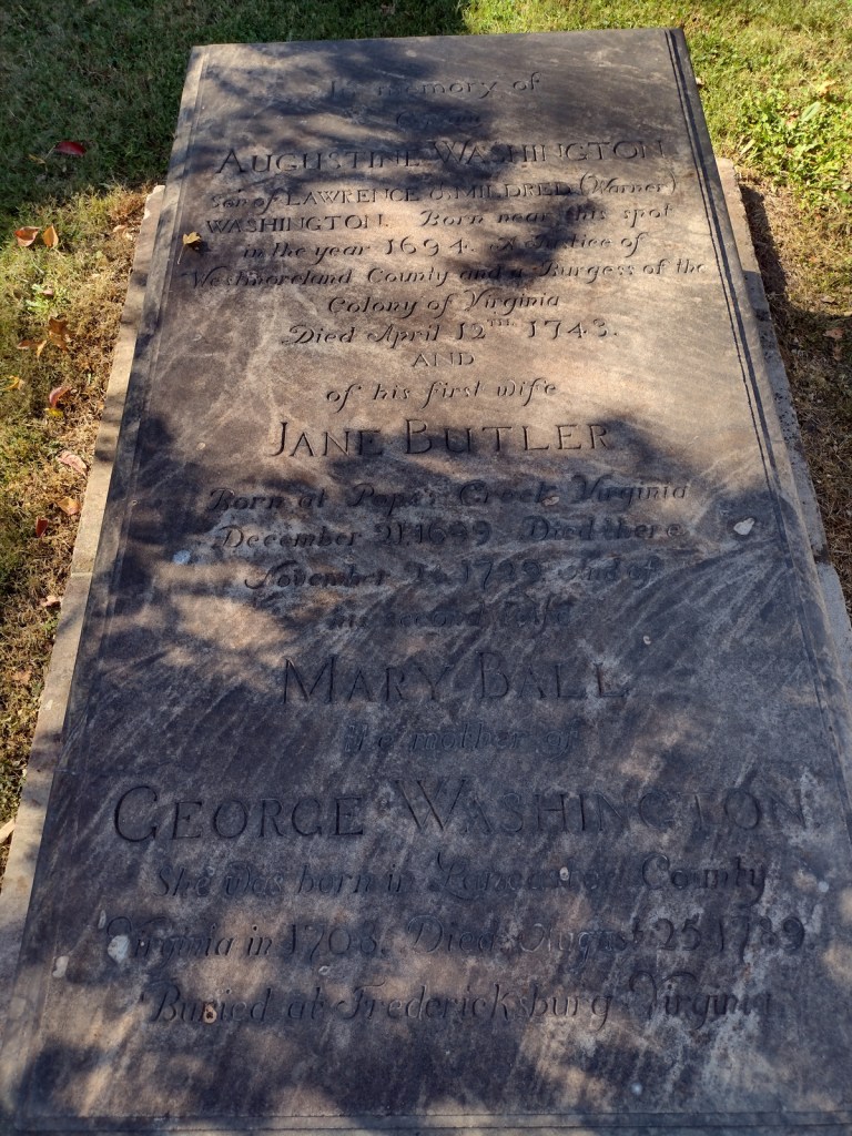


Explore More – How many generations of George Washington’s forebears are buried on the property?

Learn more about this and the other 137 National Monuments in our book Monumental America: Your Guide to All 138 National Monuments