Overview
It was near Daviston, Alabama on March 27, 1814 that a fortified village of Upper Creek (or Red Stick) Indians was attacked by a superior force under the leadership of Major General Andrew Jackson. Jackson started by firing cannons at the barricade for two hours, then his overanxious Indian allies pressed the issue by crossing the river to fight. Jackson quickly ordered his men to charge and overtook the stronghold. This proved to be the final battle of the Creek Indian War of 1813-14, which is considered part of the War of 1812. In the treaty that followed, the tribe ceded much of the land that became the state of Alabama to the United States. When Jackson became president in 1828, he signed the Indian Removal Bill and soon both the Upper Creeks and his former Indian allies were forced west on the Trail of Tears.
Highlights
Museum, film, auto tour, nature trail
Must-Do Activity
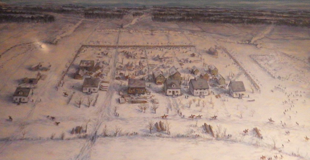
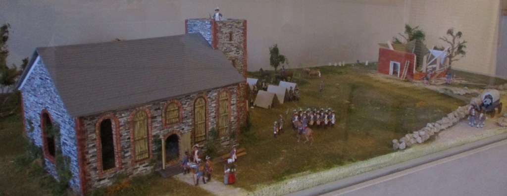
A short but good film is the best way to start learning about this lesser known yet important battle of the War of 1812 that brought fame to Andrew Jackson. A diorama in the visitor center illustrates the fortifications used at Horseshoe Bend. On the three-mile auto tour, only short walks are required from any interpretive pullout.
Best Trail
An alternative to the auto tour is a 2.8-mile nature trail that visits the same interpretive sites.
Instagram-worthy Photo
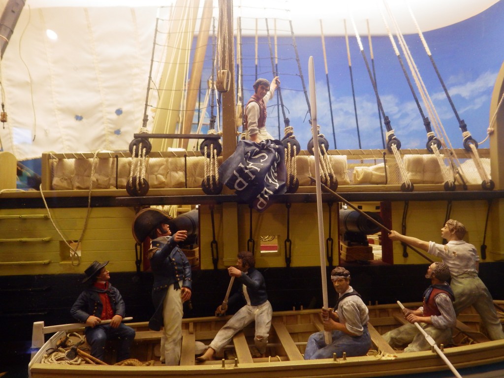
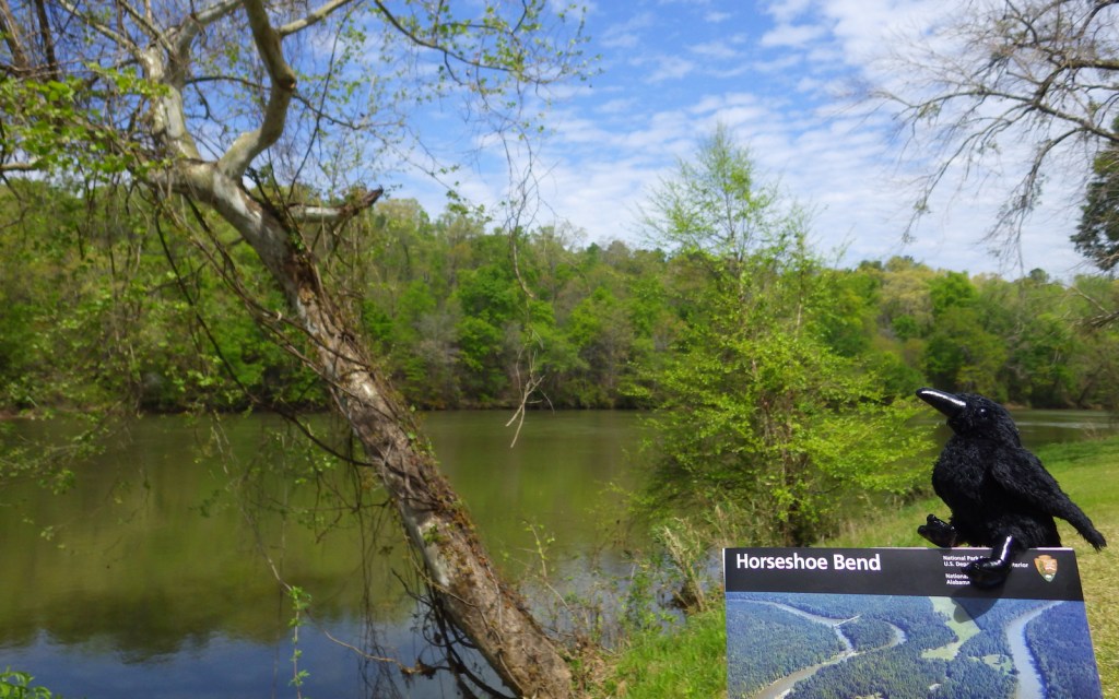
A tight curve in the Tallapoosa River in eastern Alabama provided the name for Horseshoe Bend National Military Park. Indian allies of the U.S. started the 1814 battle by swimming then paddling stolen canoes across the river to get behind the fortifications.
Peak Season
Summer
Hours
https://www.nps.gov/hobe/planyourvisit/hours.htm
Fees
None
Road Conditions
All roads paved
Camping
There is no camping allowed here, but Wind Creek State Park has a campground 25 miles southwest of the park.
Related Sites
Jean Lafitte National Historical Park and Preserve (Louisiana)
Fort Smith National Historic Site (Arkansas-Oklahoma)
Russell Cave National Monument (Alabama)

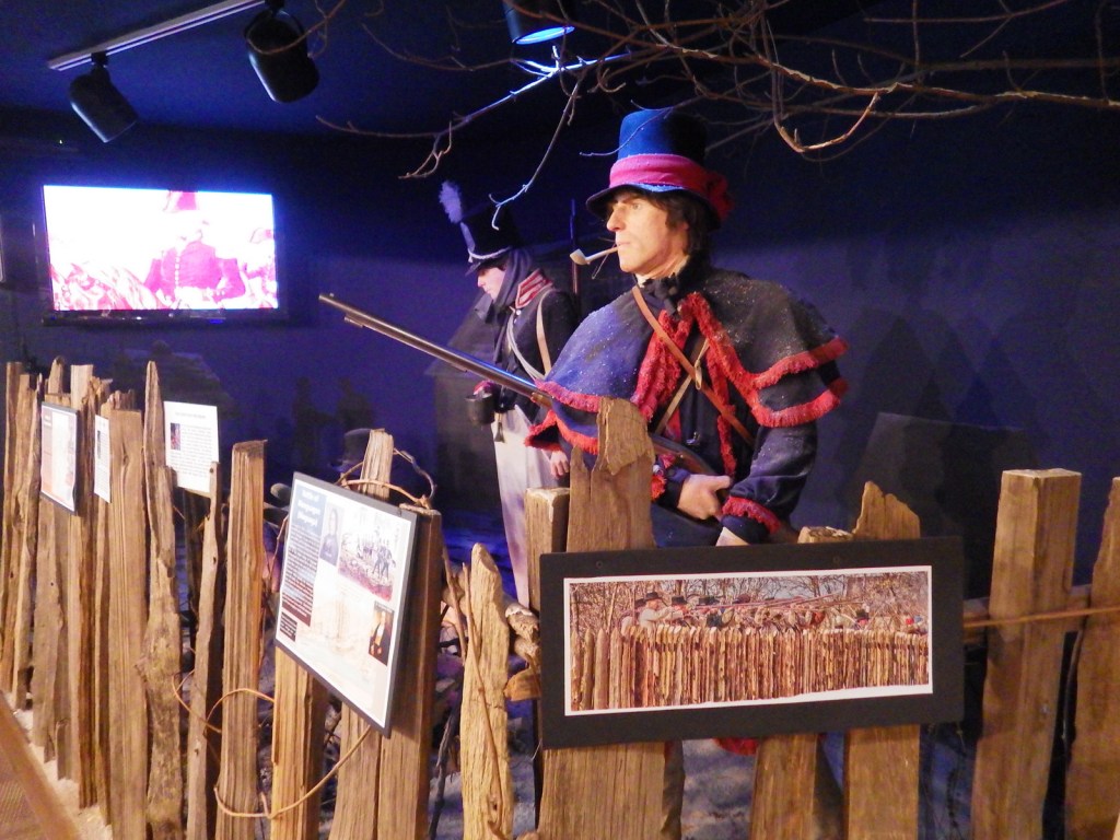
Tiff with a model wearing traditional Creek garments 
Diorama of the battle of Horseshoe Bend 
Line marking where the barricade stood 
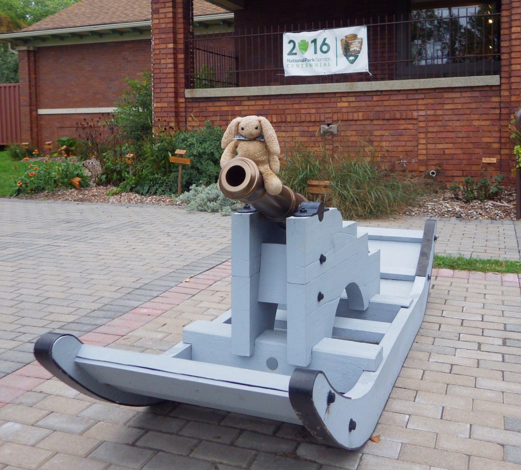
U.S. cannon bombardment for 2 hours did little against the Upper Creek stronghold 
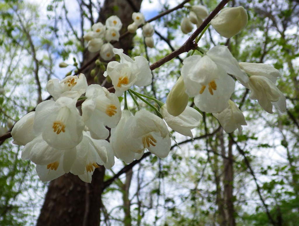
Carolina silverbells 
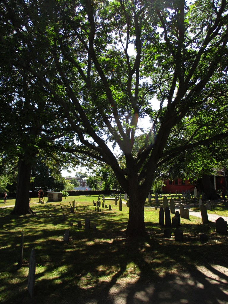
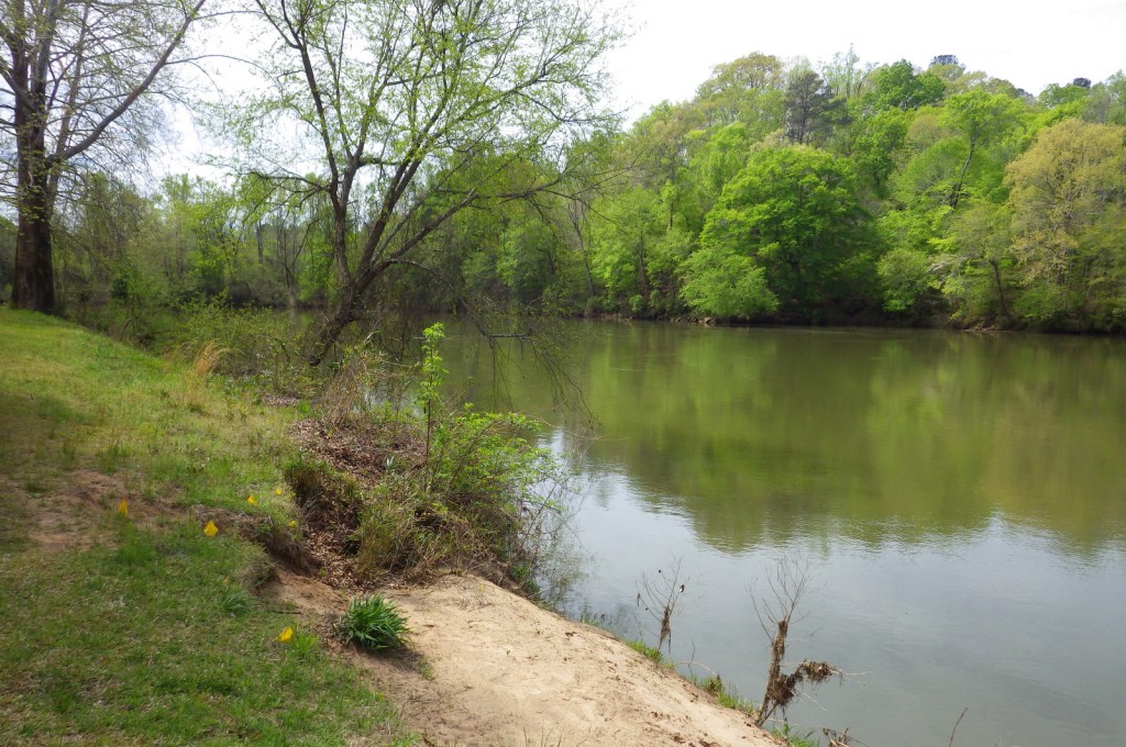
The “park” setting of the village
Explore More – Where did a much more famous U.S. victory during the War of 1812 take place under the command of Major General Andrew Jackson?