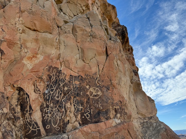
Overview
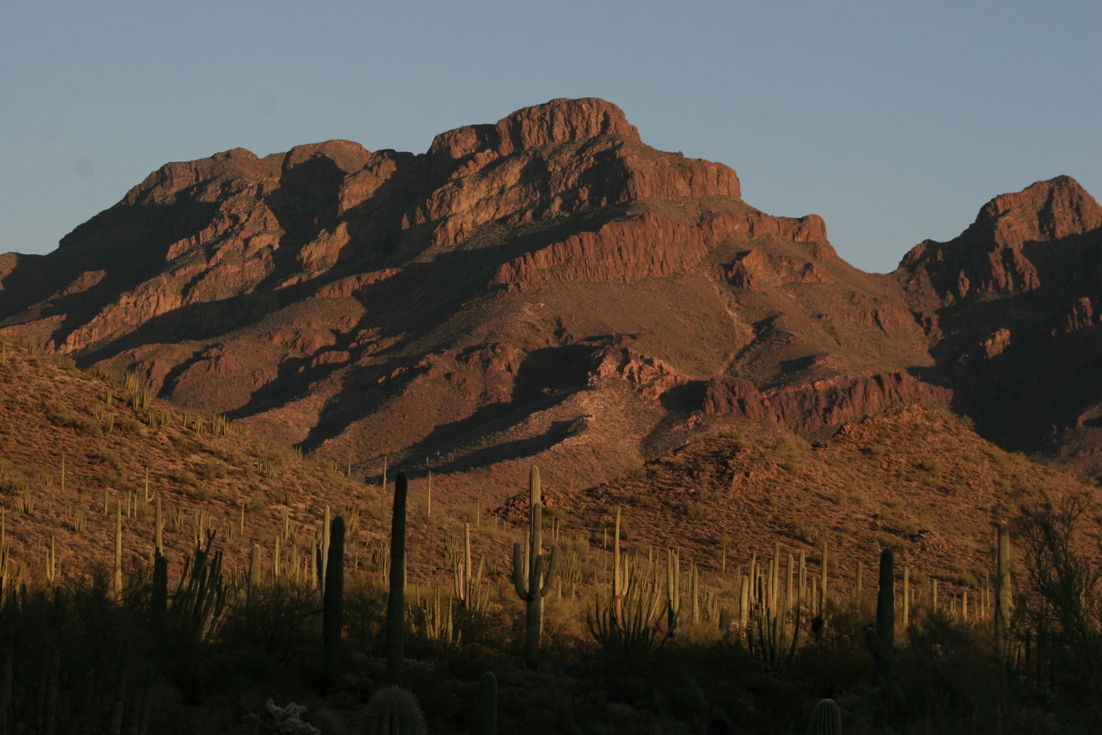
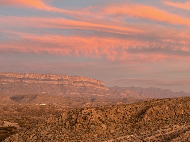
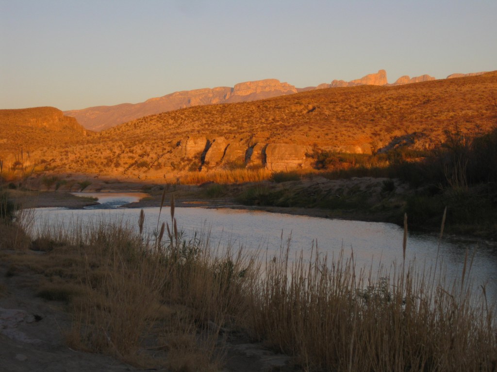
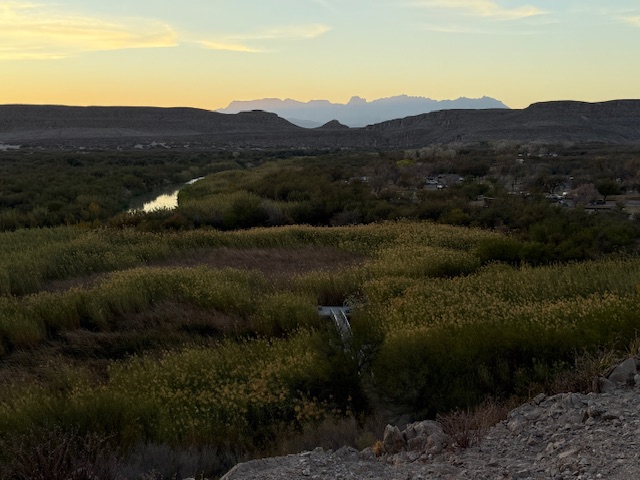
The park is named for a curve in the Rio Grande which forms the international border with Mexico. This corner of Texas is not easy to get to, so when you do decide to visit plan on staying for at least a few days. The weather can be very pleasant in the winter months.
Learn more about how to visit this National Park in the expanded second edition of our guidebook A Park to Yourself: Finding Solitude in America’s 63 National Parks.

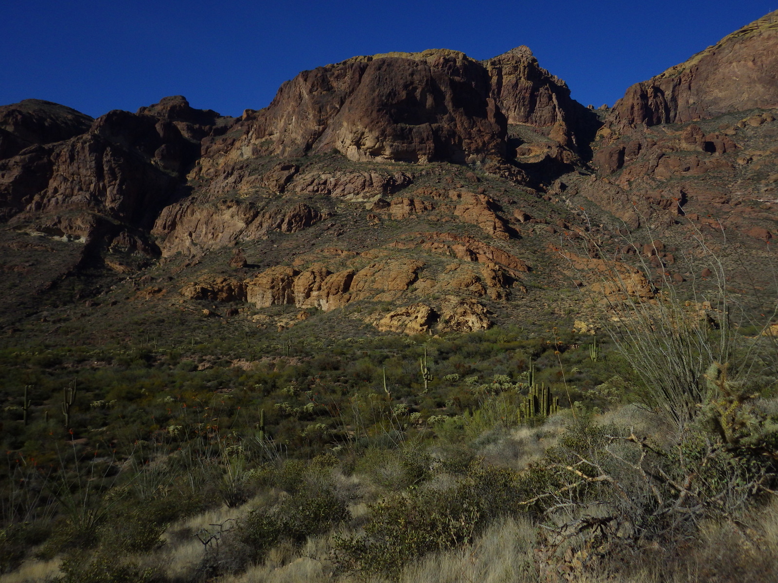
Highlights
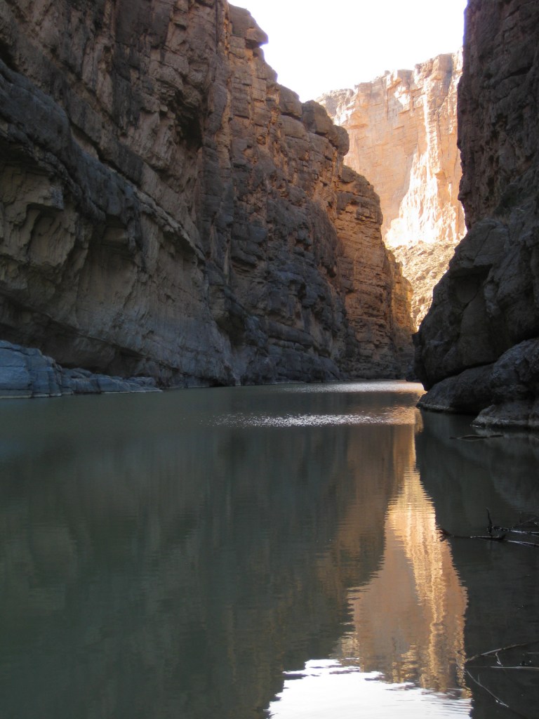
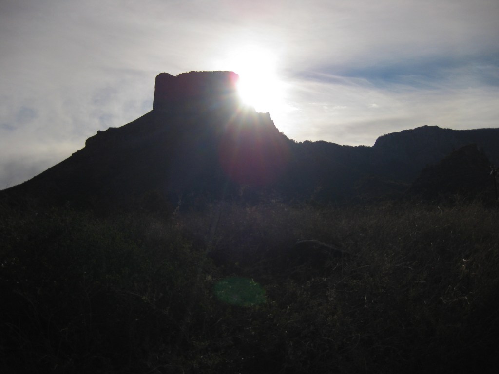
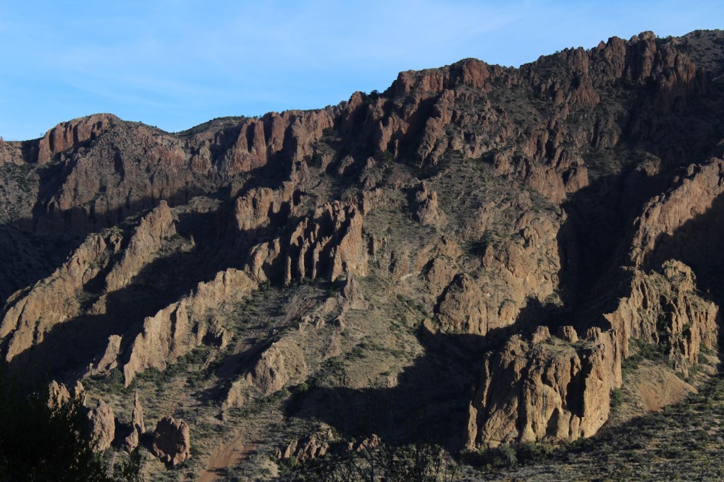
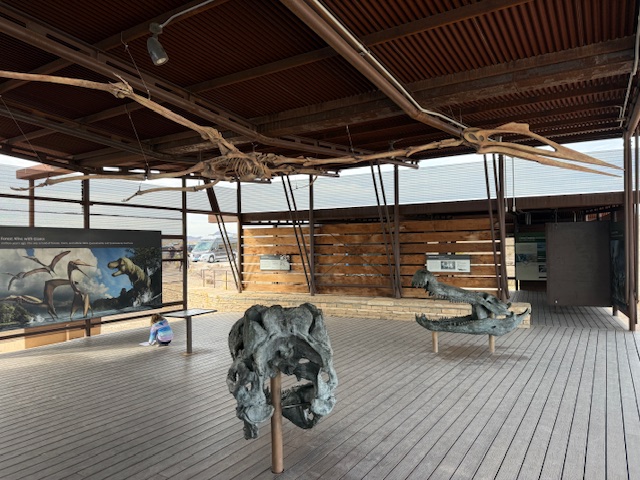
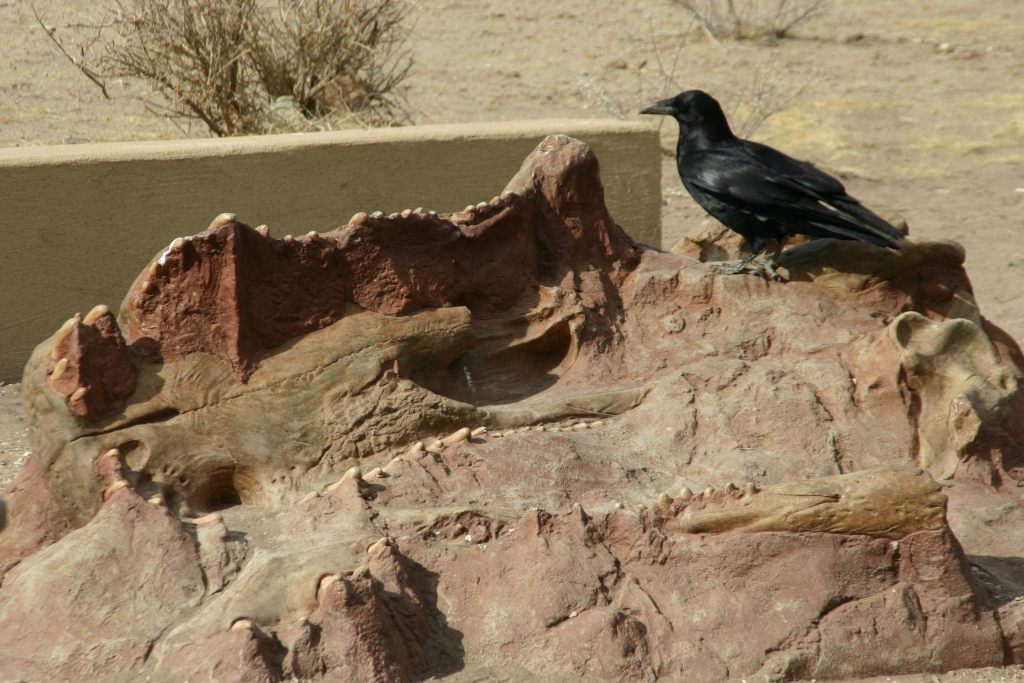
Chisos Basin, Fossil Discovery Exhibit, Hot Springs, Balanced Rock, Santa Elena Canyon Overlook, The Chimneys, Dog Canyon Trail
Must-Do Activity
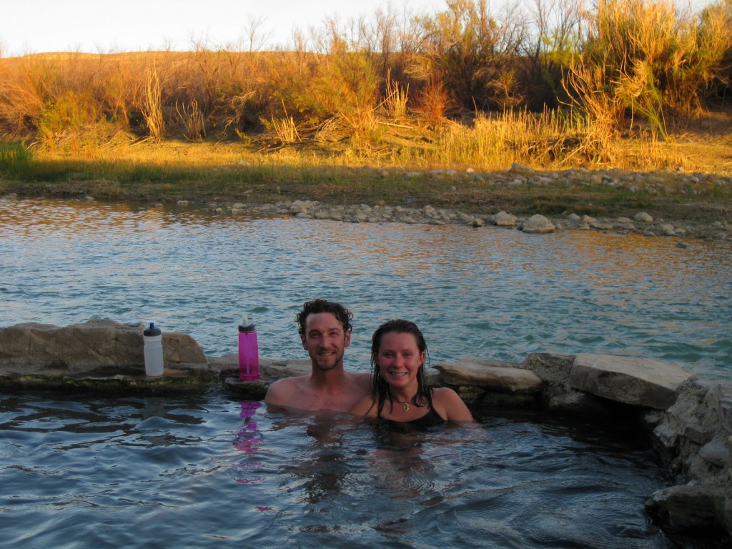
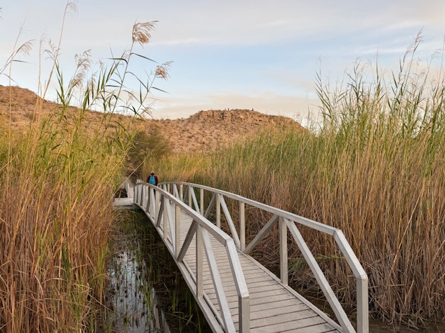
Located down a short dirt road from Rio Grande Village Campground, a quick walk takes you to a riverside hot springs, a great spot to relax after a day of hiking in the dry Texas desert. While soaking there, you are literally a stone’s throw from another country.
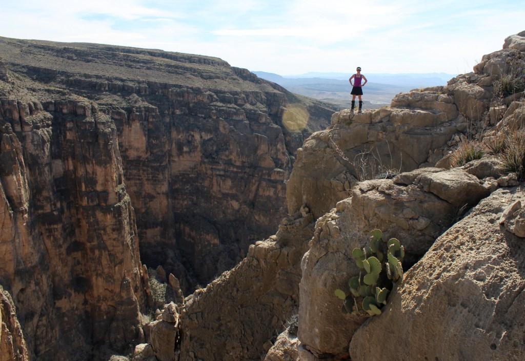
Best Trail
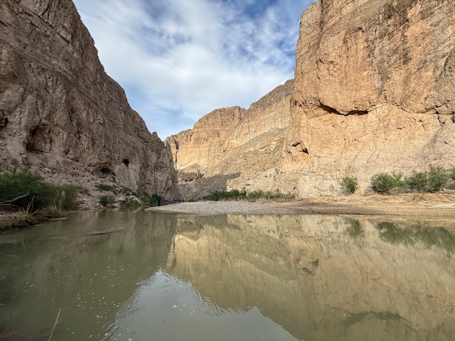
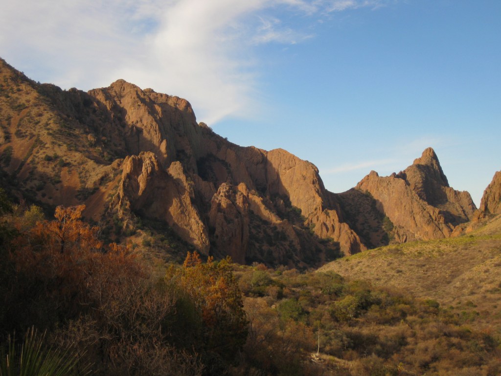
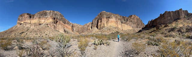
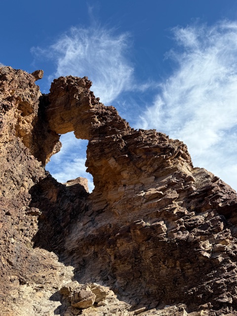
From Chisos Basin it is a short two mile canyon hike to The Window for a gunsight view to the west. This trail is especially popular at sunset.
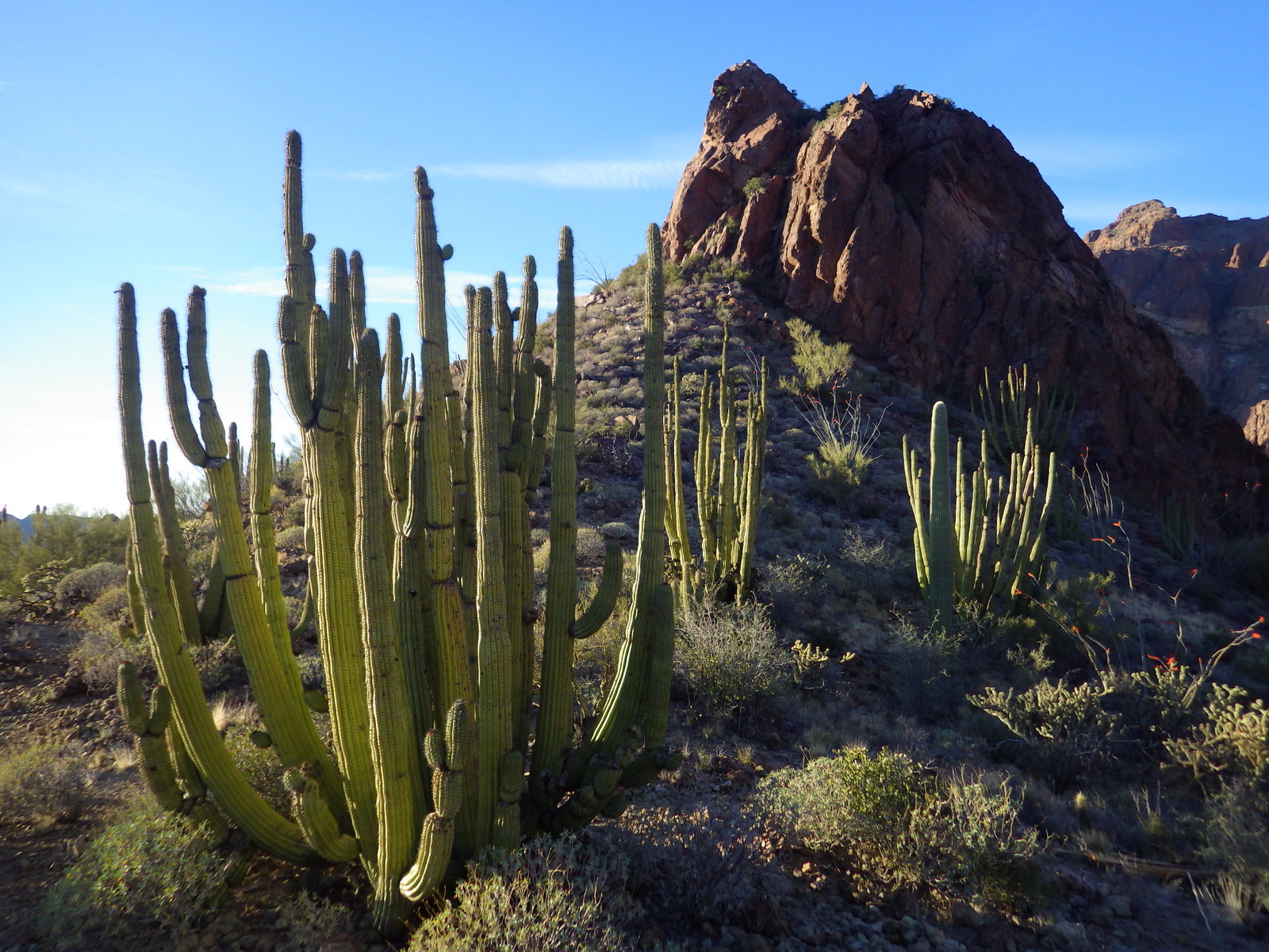
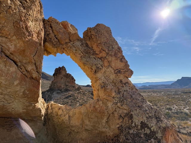
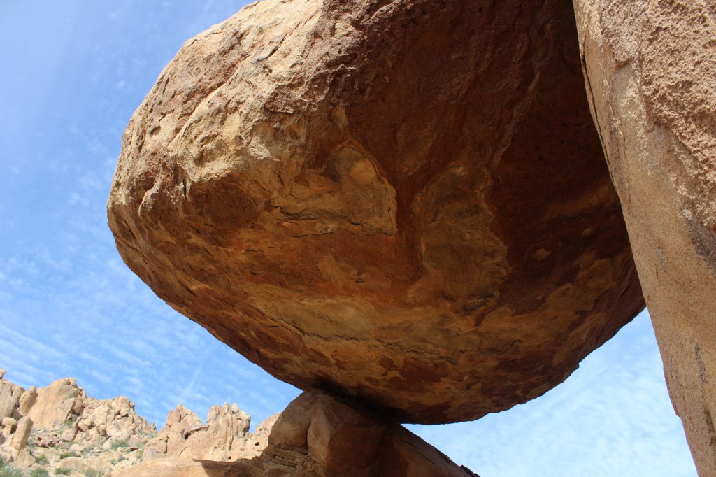
Instagram-worthy Photo
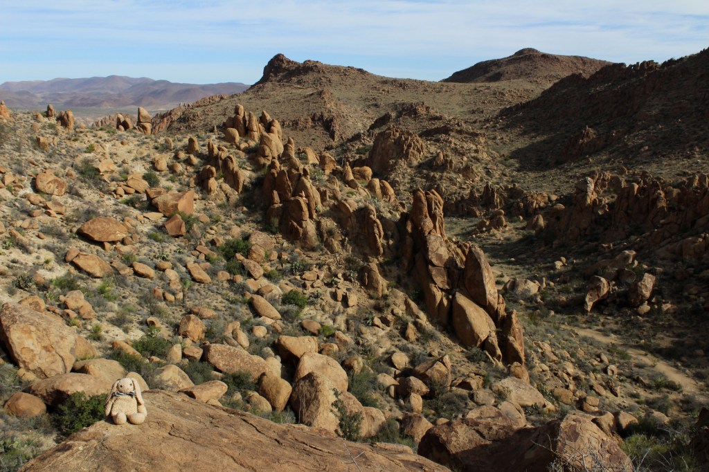
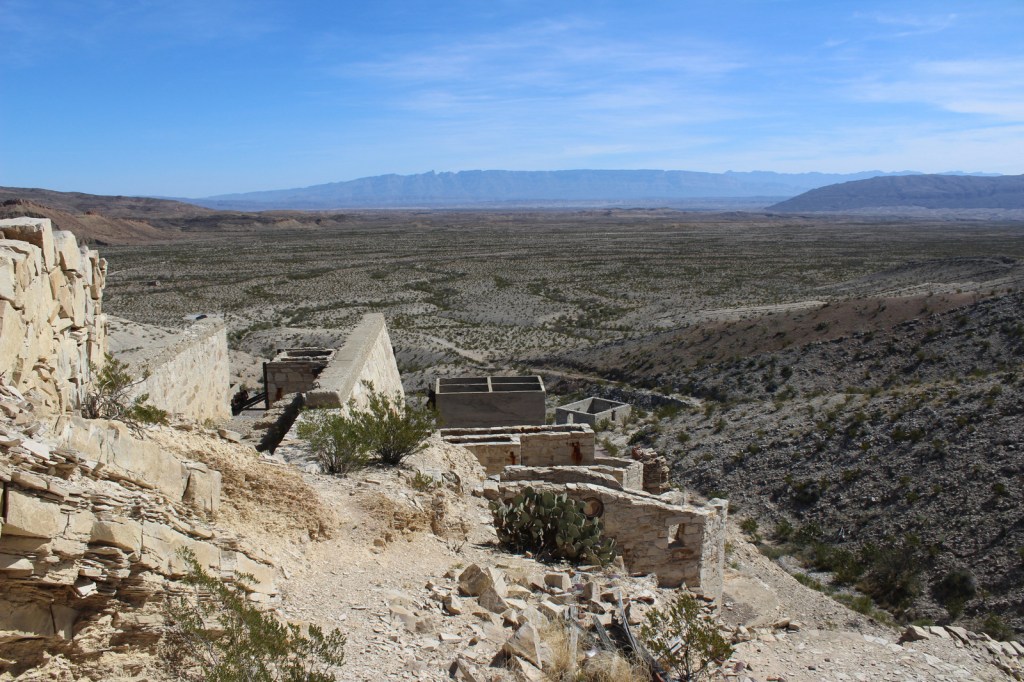
The most popular back road is Grapevine Hills Road which accesses the short Balanced Rock Trail and passes a couple of the most accessible of the 70 primitive backcountry car campsites (which require a permit from a visitor center).

Peak Season
Spring, but we have also had good weather during visits in December and January
Hours
https://www.nps.gov/bibe/planyourvisit/hours.htm
Fees
$30 per vehicle or America the Beautiful pass
Road Conditions
We found that many of the dirt roads are passable with a mini-van, but some are four-wheel-drive only, so check with a ranger first.
Camping
There are many choices of campgrounds and backcountry campsites (permit required) throughout the park, but we recommend the Chisos Basin for its roadrunners and nightly ranger programs.


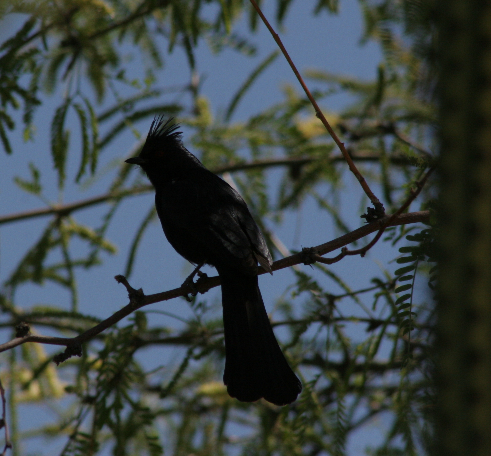
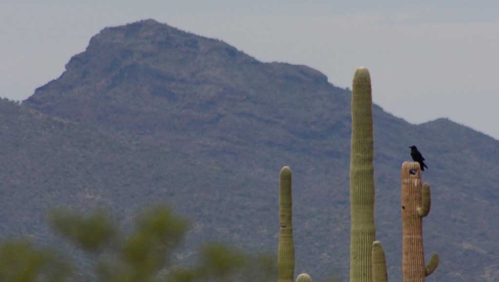
Explore More – What rare migrant bird do birders annually “flock” to see in this park?

Know someone who loves National Parks? Gift them our travel guidebook A Park to Yourself: Finding Solitude in America’s 63 National Parks.